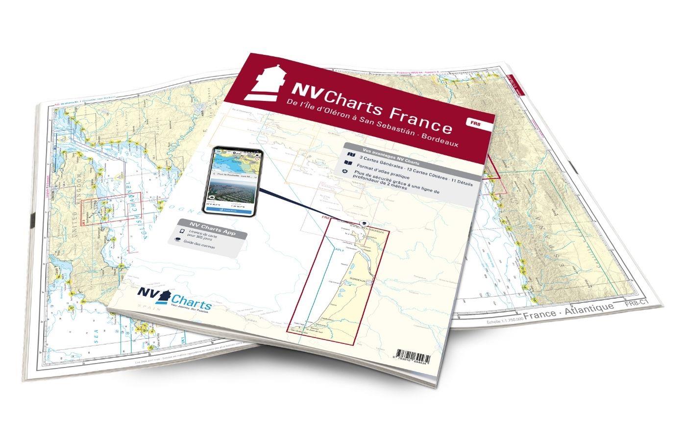
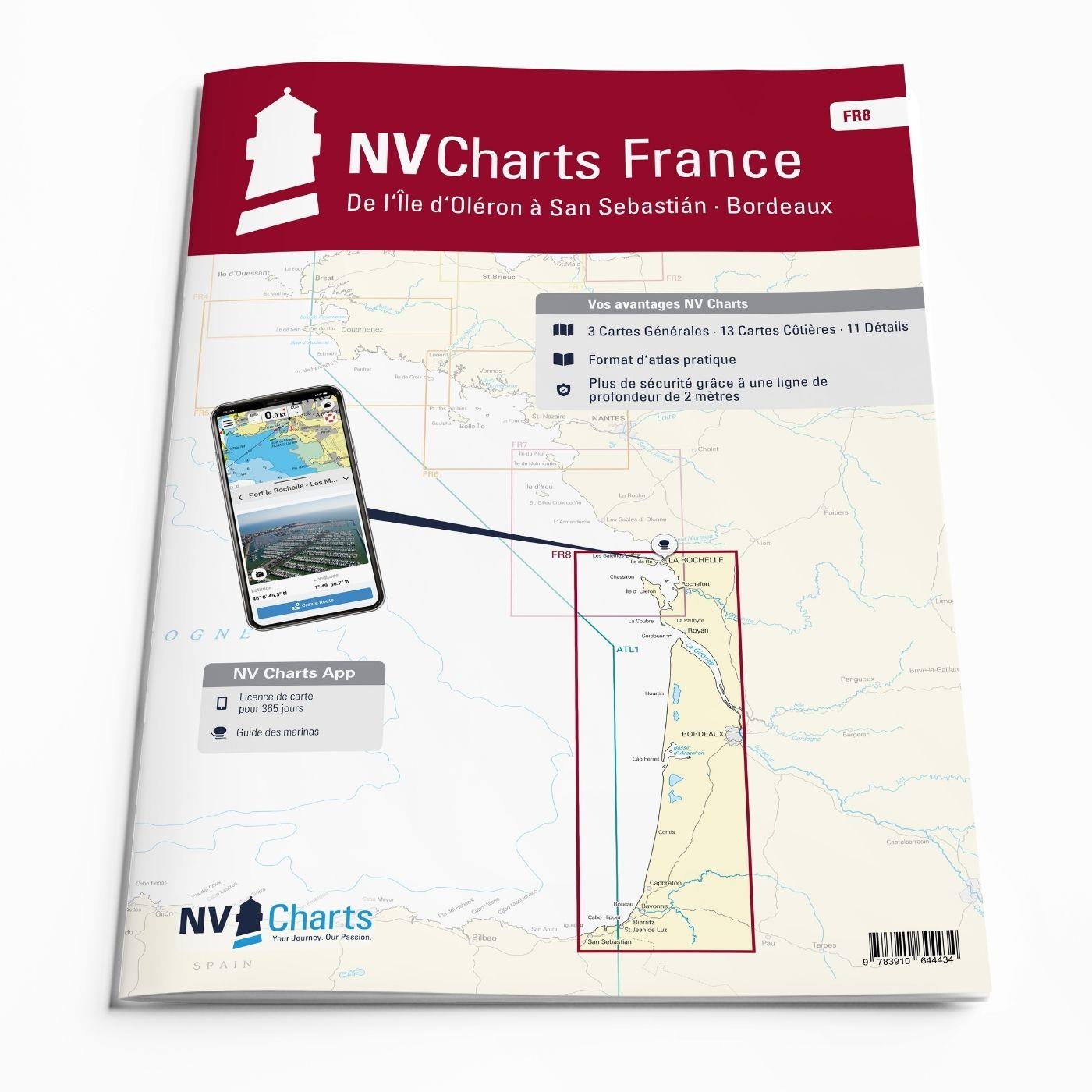
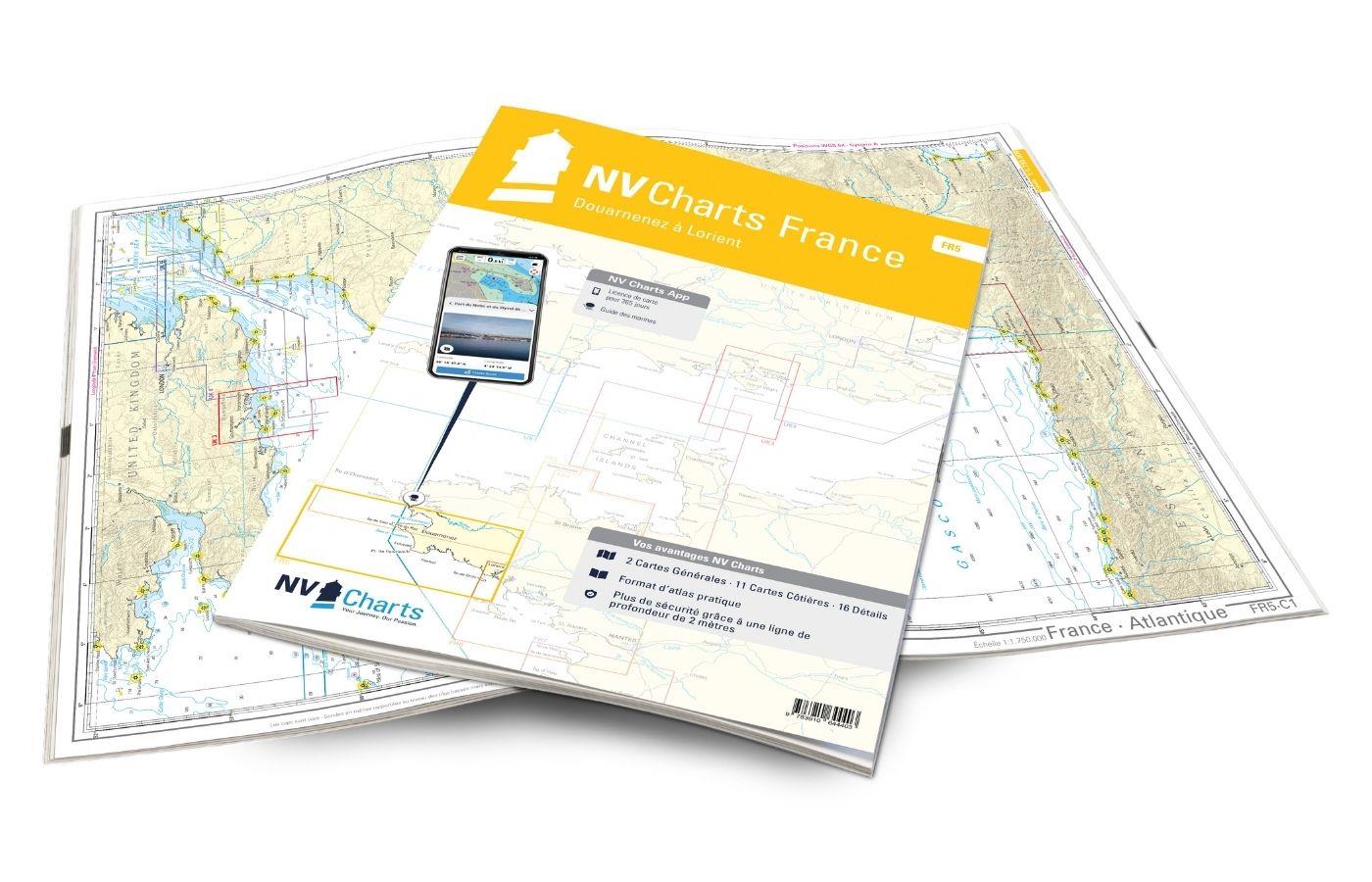
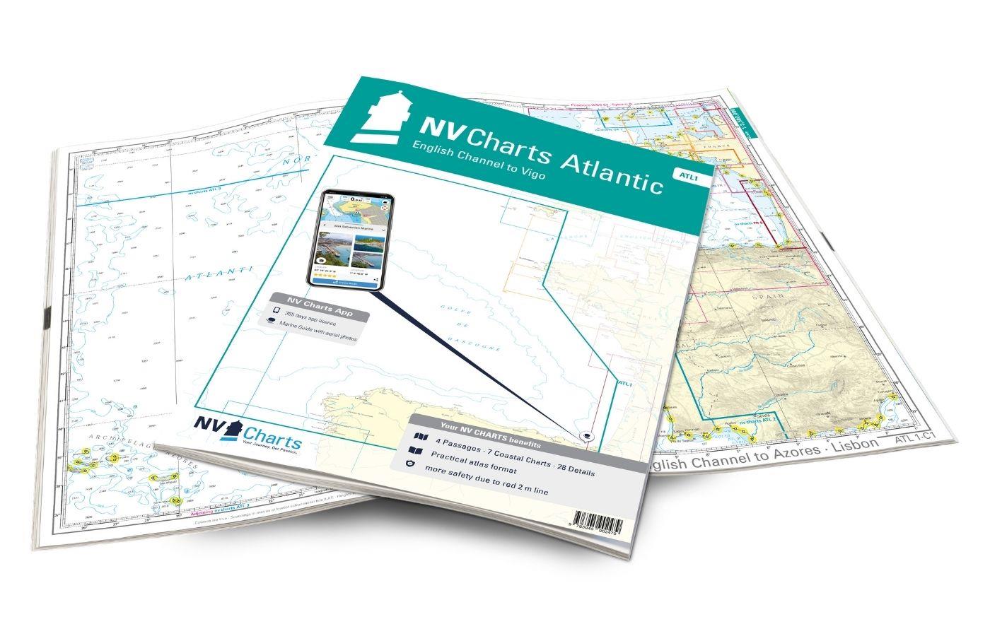
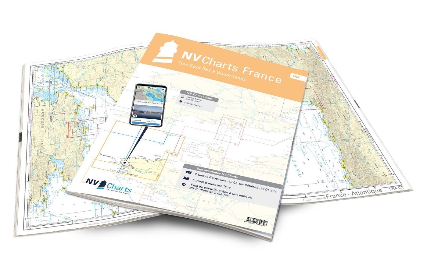
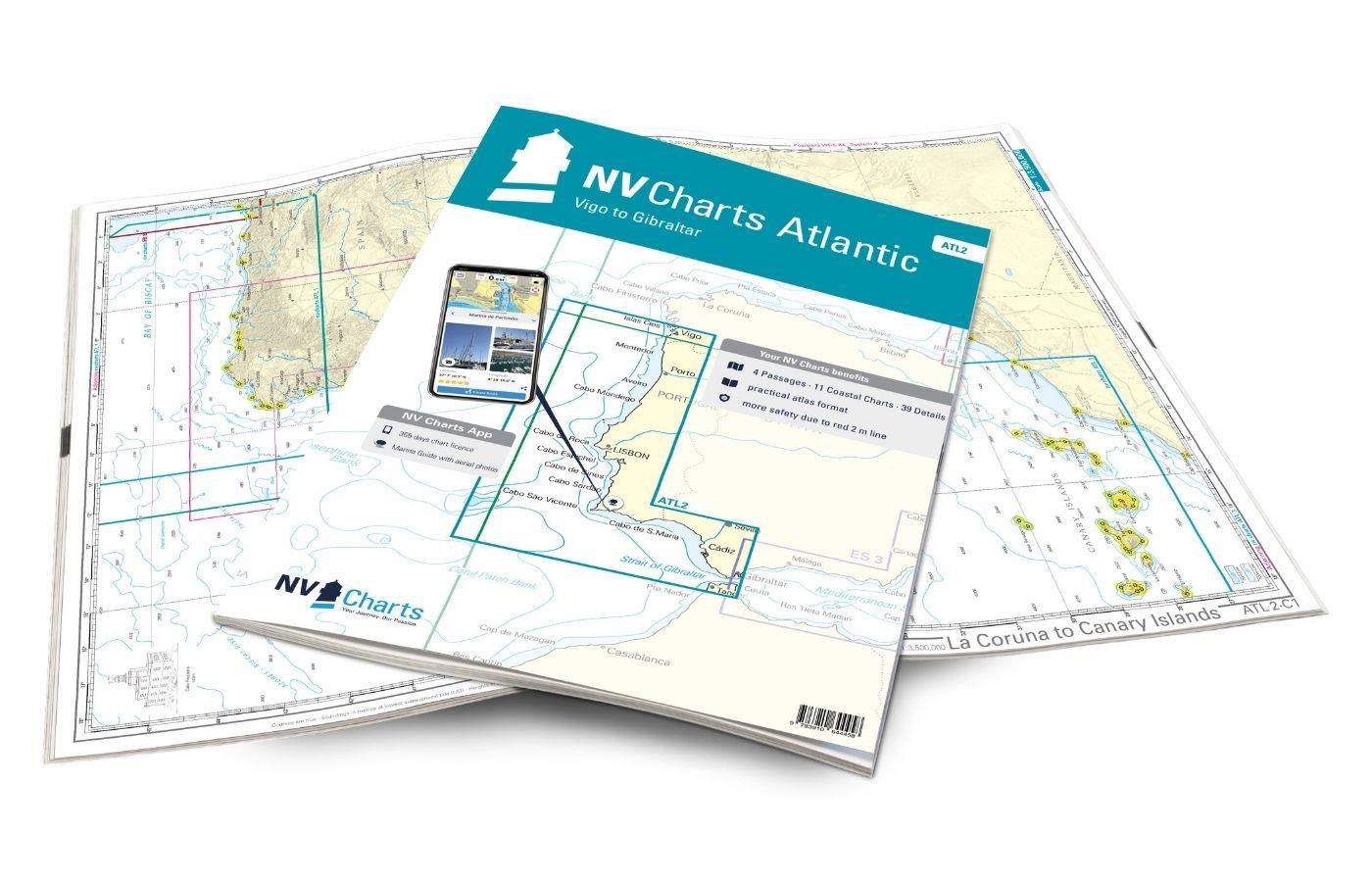
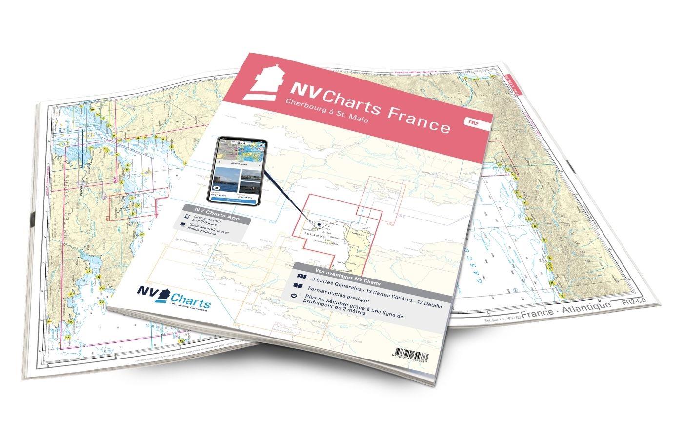
NV Charts France FR8 - Île d'Oléron à San Sebastian - Bordeaux
Description
With the NV Charts France FR8 You can travel from the sailing stronghold of La Rochelle via the Gironde to Bordeaux or as far as the Spanish border. Thanks to the clear layout, the sports skipper can quickly find approaches, harbours and anchorages and is made aware of navigationally important details that also appear in the NV Charts app. The chart series impresses with its optimal dimensions and balanced sheet sections.
Regions overview
The map starts with La Rochelle. To the north of Bordeaux, the Garonne and the Dordogne join the Gironde. The journey along the coast takes you past the best vineyards in the world, so it's worth making a stop or two along the way. You can expect flat to slightly hilly wine-growing areas surrounded by magnificent chateaux. Bordeaux itself is a historic, affluent city where you can easily spend a few days. From Bordeaux back to the Atlantic via the Garonne and Gironde, it is not far to Cap Ferret opposite the Dune du Pilat, the largest sand dune in Europe. From there, you can head directly to one of the many marinas in the Bassin d'Arcachon to enjoy this lunar place. Continue south past Biarritz to the sheltered bay of St Jean de Luz or to Hendaye - both enchanting fishing villages where the Basque flavour also finds its way into the cuisine. The harbour of San Sebastián on the Spanish side is located at the easternmost end of the Bahía de La Concha bay, at the foot of the Sagrado Corazón statue, which crowns the Monte Urgull hill. It is a small, triangular harbour with a fishing and yachting area.
Another recommendation for this map set is the NV Charts France FR7 which takes you north from La Rochelle to the Loire, or the ATL1, which allows you to travel along the Spanish coast along the Bay of Biscay towards Cap Finisterre.
This chart set includes
- 3 sailors
- 13 territory maps
- 11 detailed maps
- Digital charts for navigation program and NV Charts App 356-day licence
- Navigation instructions in English and French
- Tide tables
- Harbour plans paper & digital
- Fulfils all legal requirements for up-to-date paper charts on board
All advantages at a glance
- NV Atlas chart format: Practical, handy atlas format, opened in A2, closed in A3 format, flat staple binding in the centre - makes it easy to work with the course triangle
- NV Charts app: including access code to the digital nautical charts of the purchased area in the NV Charts app with 365-day licence, for offline navigation with the app on iOS, Android, PC, Mac or in the web browser, comprehensive harbour manual
- Extremely detailed: Nautical charts based on data from official surveys and own surveys, particularly detailed outside the main fairways
- Optimised for recreational boating
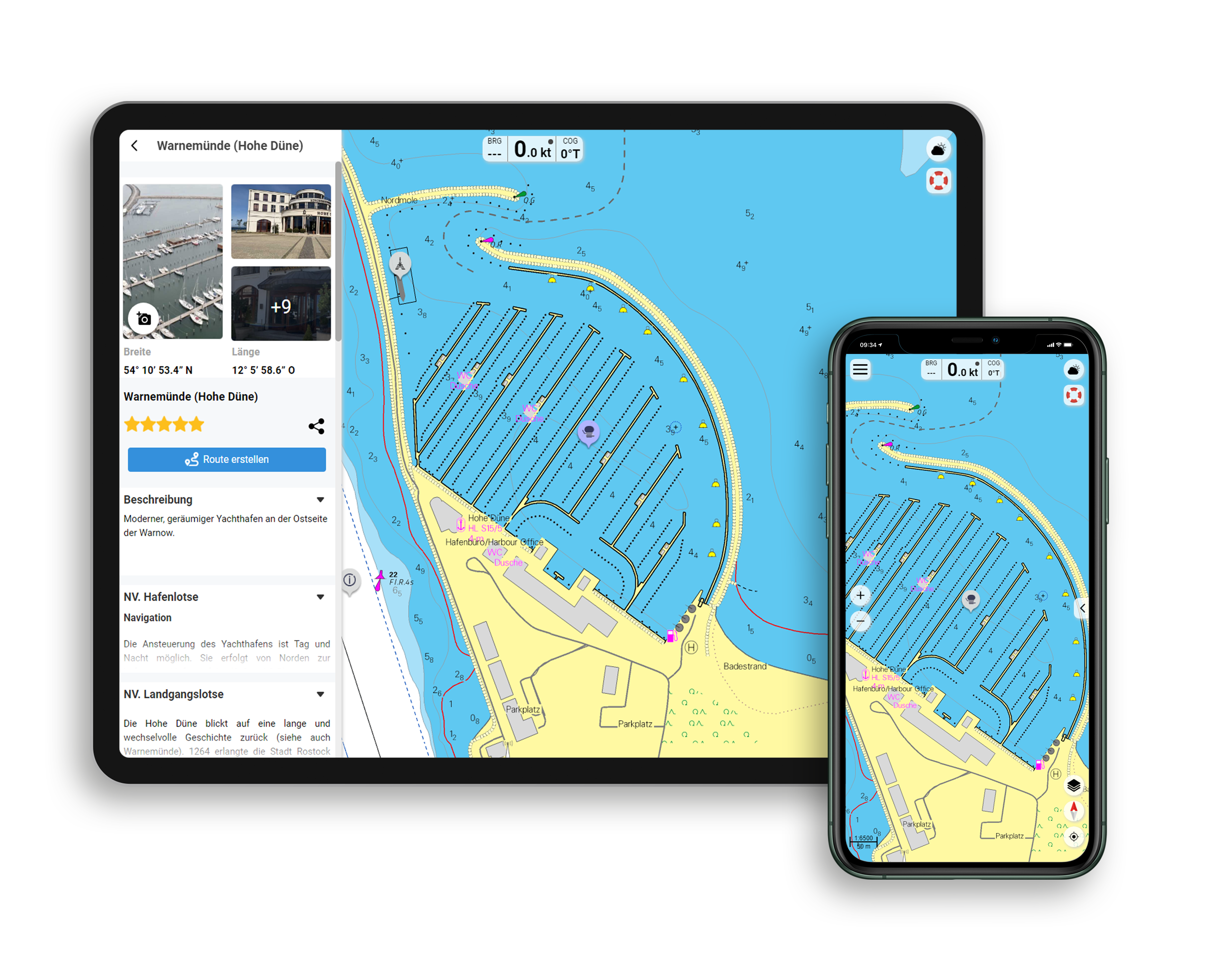
Functions of the NV Charts app
- Flexible autorouting
- Satellite overlay
- Augmented reality
- VMG (Velocity Made Good)
- BoatView harbour guide
- Track recording
- AIS connection and much more.
Charts and measures included
Sailors
C 1 France - Atlantique 1: 1,750,000 , C 2 La Rochelle à Arcachon 1: 350,000 , C 3 Arcachon à San Sebastián 1: 350,000
District maps
C 4 Ile d'Oléron à l'Embouchure de la Gironde 1: 150.000 , C 5 Côte d'Argent au Nord du Cap Ferret 1: 150.000 , C 6 Côte d'Argent - Arcachon à Contis 1: 150.000 , C 7 Côte d'Argent - Contis à San Sebastián 1: 150.000 , C 8 Approches de La Rochelle Sud 1: 45.000 , C 9 Approches de La Charente 1: 45. 000 , C10 Coureau d'Oléron 1: 45,000 , C11 Embouchure de la Gironde 1: 45,000 , C12 Approches de la Gironde 1: 45,000 , C13 La Gironde 1 1: 45,000 , C14 La Gironde 2 1: 45,000 , C15 La Gironde 3 1: 45,000 , C16 La Garonne - Bordeaux 1: 45,000 , C17 Cap Ferret 1: 45,000 , C18 Bassin d'Arcachon 1: 45,000
Detailed maps
C19 La Rochelle 1: 15,000 , C20 La Charente - Rochefort 1: 25,000 , C21A Le Verdon-sur-Mer 1: 15,000 , C21B Arcachon 1: 15,000 , C21C Meschers-sur-Gironde 1: 10,000 , C21D Port de Douhet 1: 10. 000 , C21E Royan 1: 10,000 , C21F Capbreton 1: 15,000 , C22 Bayonne et Biarritz 1: 15,000 , C23A Hendaye 1: 15,000 , C23B St. Jean de Luz 1: 15,000 , C24A Pasajes 1: 10,000 , C24B St.- Denis-d'Oléron 1: 10,000 , C24C Boyardville 1: 10,000
Légende - Legend C26 Courants de Marée - Tidal Stream Tables C26
| App License: | NV Charts App |
|---|---|
| Format: | NV Atlas, Gebundener Kartensatz |
With the help of our area preview, you can get an impression of which geographical region the product deals with or which areas a nautical chart covers.
Related products to this item
Reviews
Login

