NV Charts France FR11 - Corsica
Description
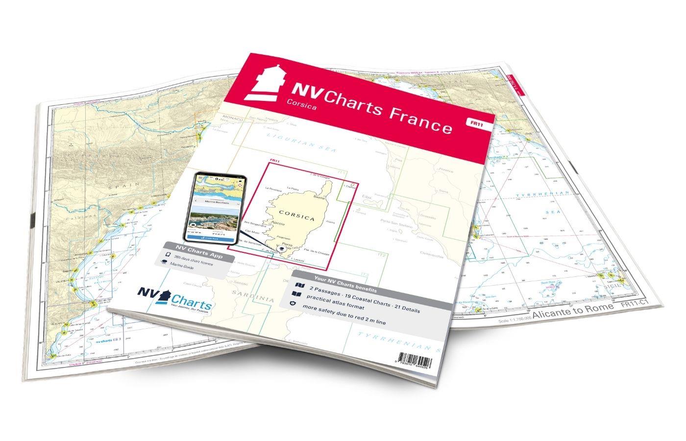
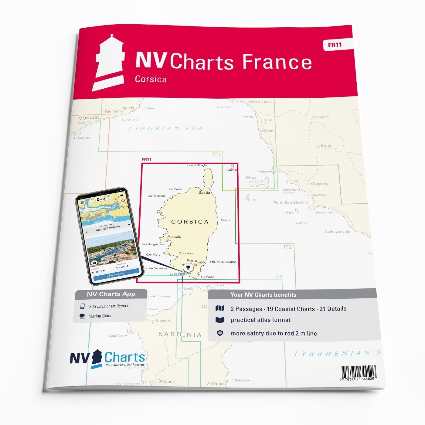
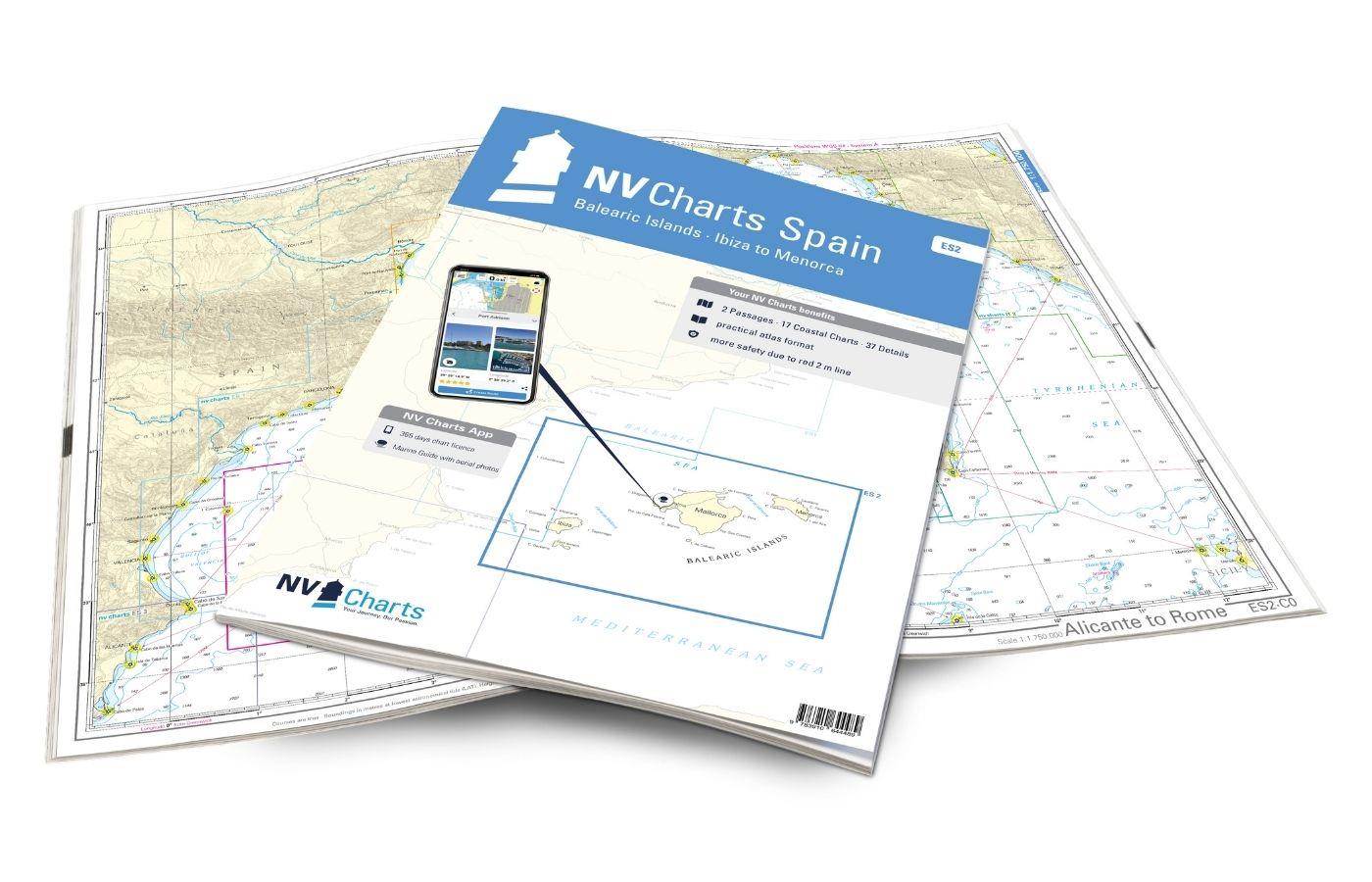
The NV Charts Atlas FR11 covers the beautiful island of Corsica completely. Thanks to the clear layout, recreational boaters can quickly find approaches, harbours and anchorages and are informed of navigationally important details that also appear in the NV Charts app. The chart series impresses with its optimal dimensions and balanced sheet sections.
Regions overview
Dreamlike and challenging: this is how the island of Corsica presents itself. Small offshore islands and gusty winds require full concentration. Only a few anchorages are really sheltered from the wind. Experienced water sports enthusiasts will experience unforgettable moments around Corsica. It is not for nothing that the island bears the name "Île de la Beauté". As a mountainous Mediterranean island, Corsica offers a mixture of elegant coastal towns, pine forests and rugged mountain landscapes. Bastia, Porto Vecchio and Ajaccio are all served by large ferries and offer plenty of moorings. Saint-Florent, Calvi, Propriano and Bonifacio are also equipped with plenty of sunbathing areas. So if you want to experience true Mediterranean beauty, there's no way around this island!
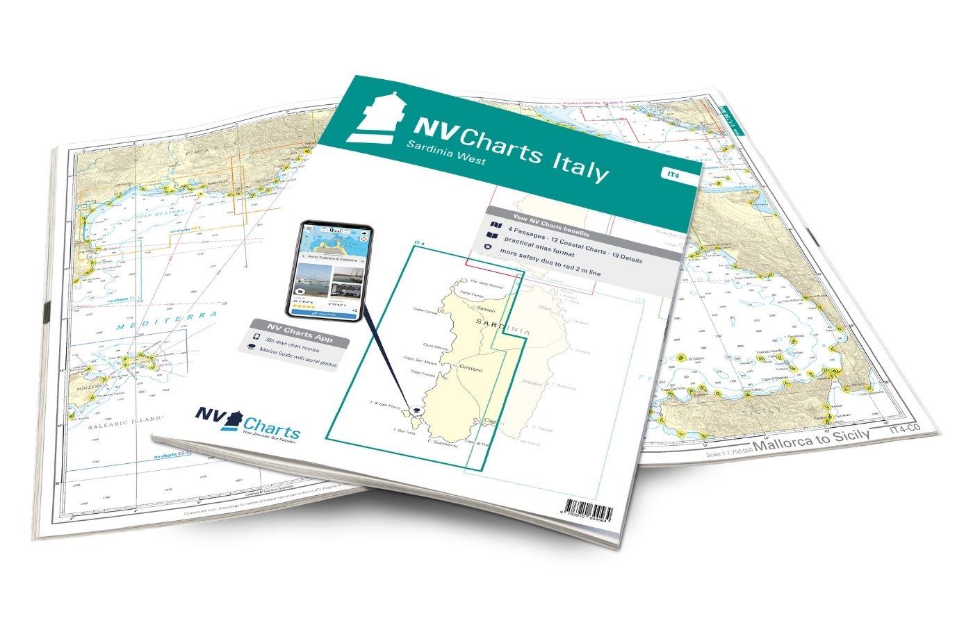
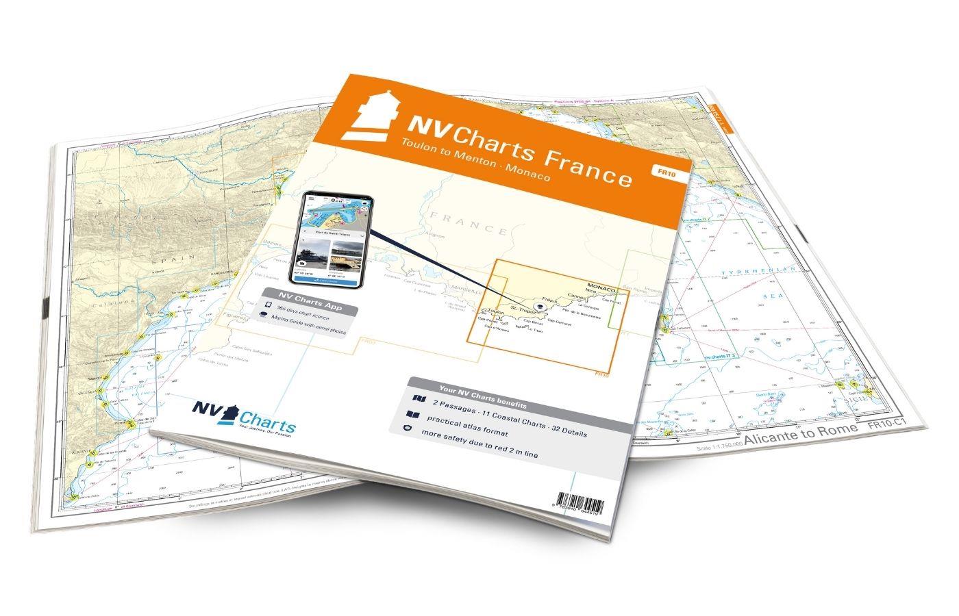
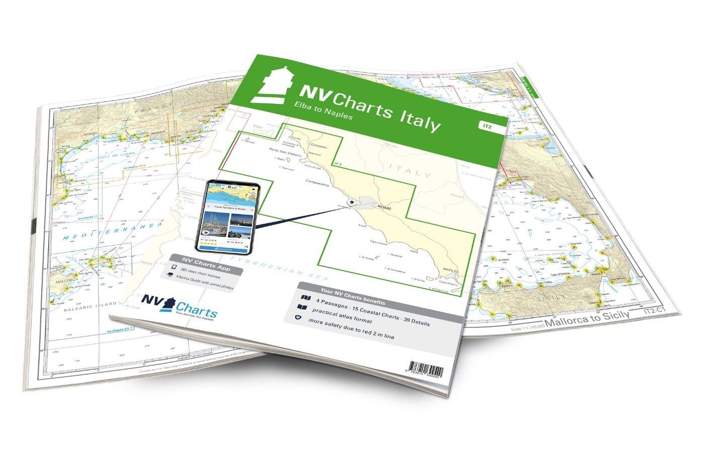
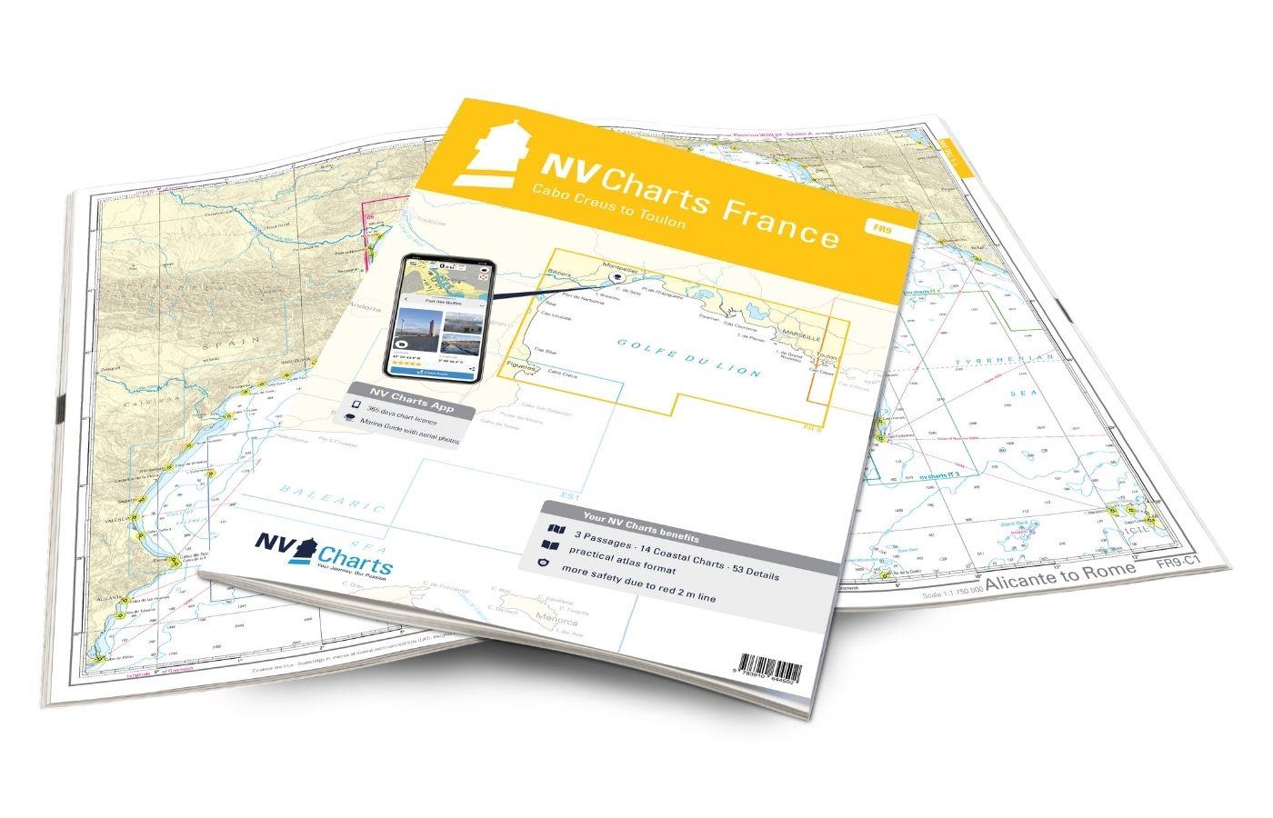
As a supplement to this map set, we recommend the IT3 and IT4 to circumnavigate the neighbouring island of Sardinia. You can also continue your journey to the French mainland (with the FR10) or Italian mainland (with the IT1). We will be happy to put together the right ferry tickets for you.
This set of cards includes
- 2 &sailors
- 19 district maps
- 21 detailed maps
- Digital charts for navigation program and NV Charts App 356-day licence
- Navigation instructions in English and French
- Tide tables
- Harbour plans paper & digital
- Fulfils all legal requirements for up-to-date paper charts on board
All advantages at a glance
- NV Atlas chart format: Practical, handy atlas format, opened in A2, closed in A3 format, flat staple binding in the centre - makes it easy to work with the course triangle
- NV Charts app: including access code to the digital nautical charts of the purchased area in the NV Charts app with 365-day licence, for offline navigation with the app on iOS, Android, PC, Mac or in the web browser, comprehensive harbour manual
- Extremely detailed: Nautical charts based on data from official surveys and own surveys, particularly detailed outside the main fairways
- Optimised for recreational boating
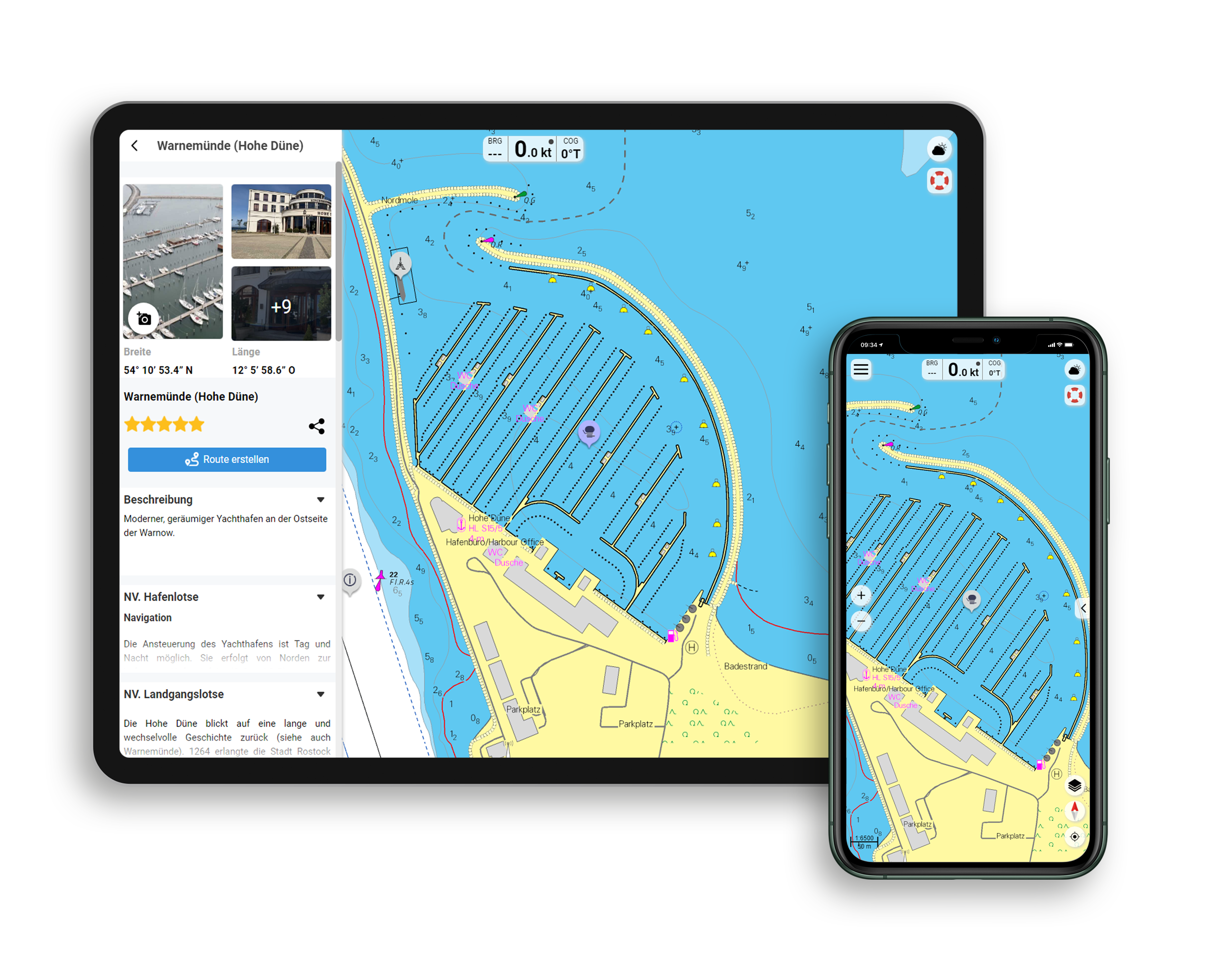
Functions of the NV Charts app
- Flexible autorouting
- Satellite overlay
- Augmented reality
- VMG (Velocity Made Good)
- BoatView harbour guide
- Track recording
- AIS connection and much more.
Charts and measures included
Übersegler
C 1 Alicante to Rome 1: 1,750,000 , C 2 Corsica 1: 350,000
Territory maps
C 3 Cap Corse to Elba 1: 150,000 , C 4 Cap Corse to Calvi 1: 150,000 , C 5 Calvi to Ajaccio 1: 150,000 , C 6 Ajaccio to Pte. de Senetosa 1: 150,000 , C 7 Pte. de Senetosa to Cap Pertusato 1: 150. 000 , C 8 Cap Pertusato to Marina du Caprone 1: 150.000 , C 9 Marina du Caprone to Bastia 1: 150.000 , C10 Bastia to Macinaggio 1: 60.000 , C11 Macinaggio to Port de Centuri 1: 60.000 , C12 Port de Centuri to Pta. di Malfalcu 1: 60,000 , C13 Pta. di Malfalcu to Calvi 1: 60,000 , C14 Calvi to Gargalu 1: 60,000 , C15 Gargalu to Pta. d'Omigna 1: 60,000 , C16 Pta. d'Omigna to Sanguinaires 1: 60. 000 , C17 Sanguinaires to Cap Muro 1: 60,000 , C18 Cap Muro to Pte. de Senetosa 1: 60,000 , C19 Pte. de Senetosa to Cap de Feno 1: 60,000 , C20 Strait of Bonifacio 1: 60,000 , C21 Ile Cavallo to Porto-Vecchio 1: 60,000
Detailed maps
C22 A Bastia 1: 12,000 , C22 B Port de Taverna 1: 6,000 , C22 C Santa Severa 1: 6,000 , C22 D Macinaggio 1: 12,000 , C22 E Port de Centuri 1: 12,000 , C23 A Golfe de St.- Florent 1: 12,000 , C23 B St. Ambrogio 1: 6,000 , C23C L'Ile Rousse 1: 12,000 , C24 A Golfe de Calvi 1: 12,000 , C24 B Ajaccio 1: 12,000 , C25 A Propriano 1: 12,000 , C25 B Porto Pollo 1: 10,000 , C25 C Baie de Campomoro 1: 12,000 , C26 A Cargèse 1: 6. 000 , C26 B Baie de Figari 1: 12,000 , C27 A Bonifacio 1: 6,000 , C27 B Iles Cavallo & Lavezzi 1: 25,000 , C28 A Golfe de Porto-Vecchio 1: 25,000 , C28 B Golfe de Pinarellu 1: 25,000 , C28 C Solenzara 1: 6,000 , C29 Porto-Vecchio 1: 10,000
Légende - Legend - General Notes p.30
| App License: | NV Charts App |
|---|---|
| Format: | NV Atlas, Gebundener Kartensatz |
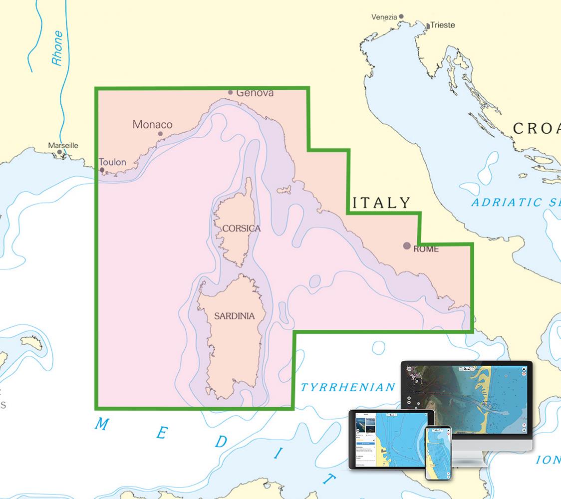
With the help of our area preview, you can get an impression of which geographical region the product deals with or which areas a nautical chart covers.
Related products to this item
Products near this article
Reviews
Login

