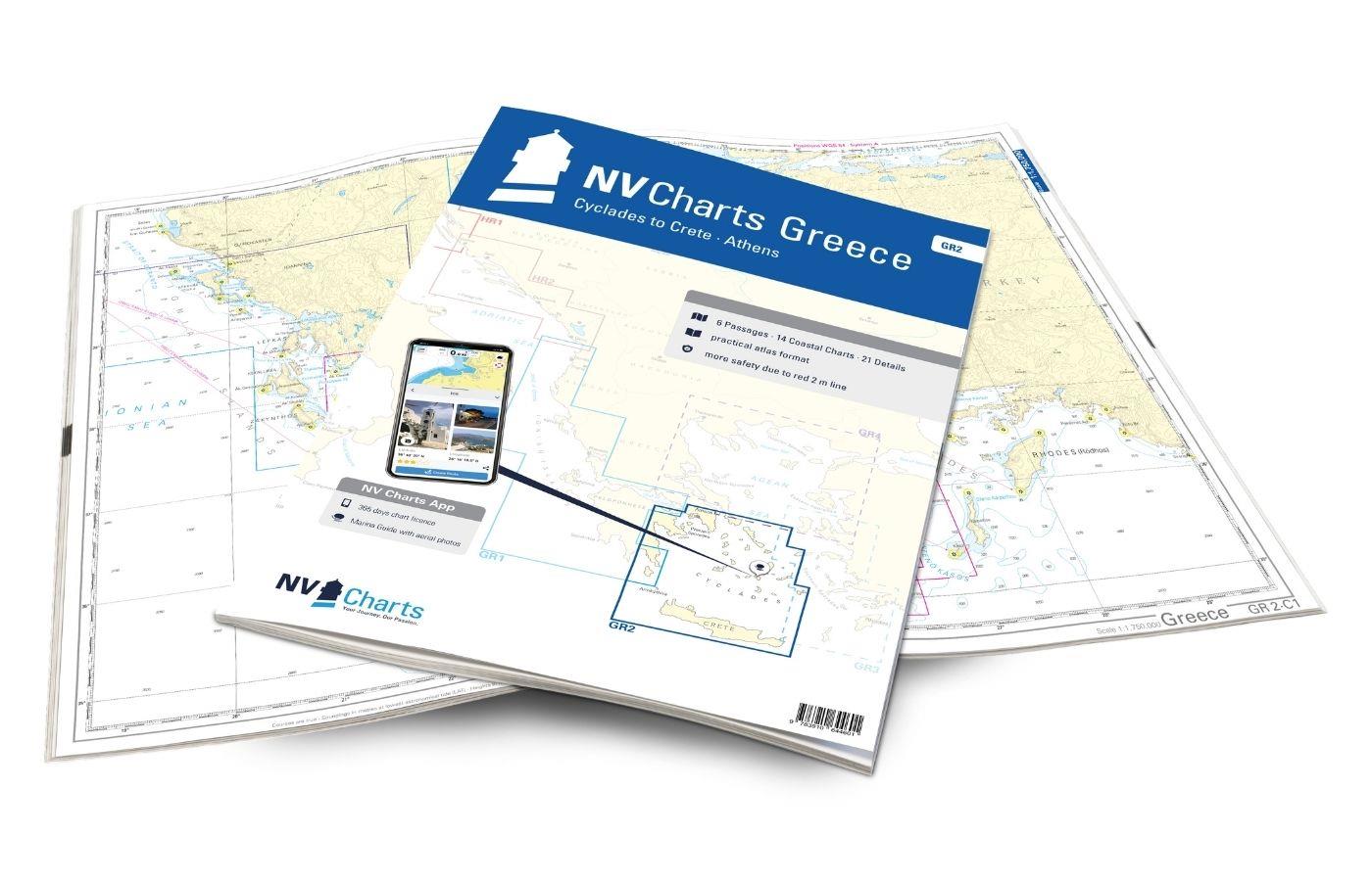
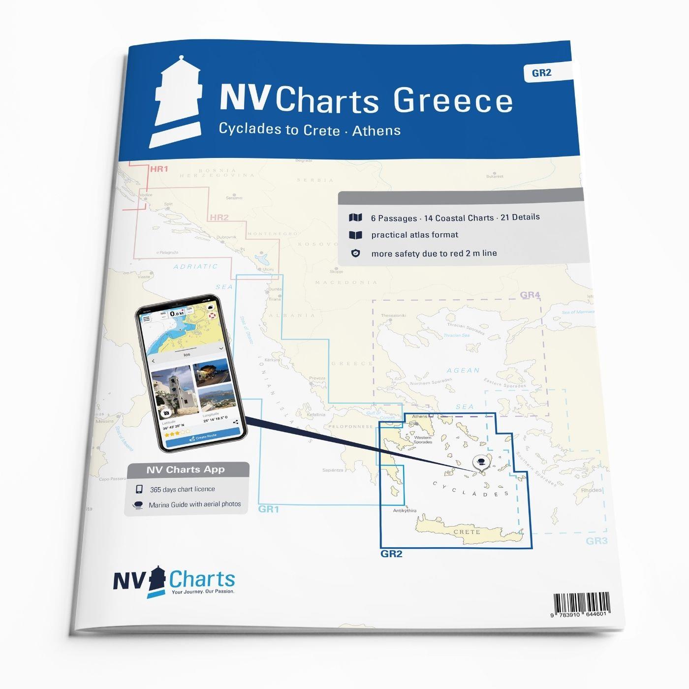
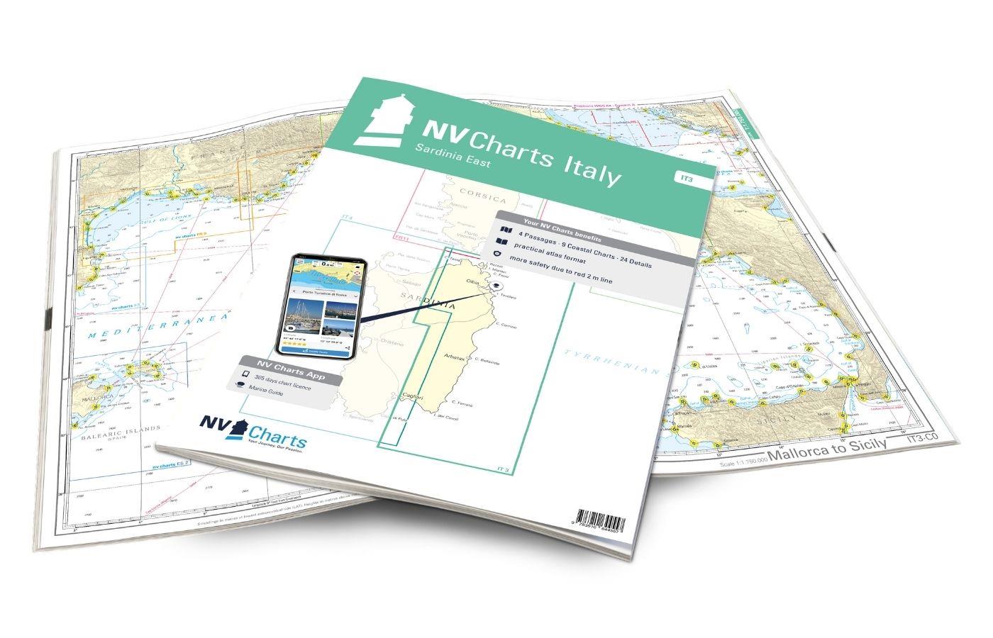
NV Charts Greece GR2 - Cyclades to Crete & Athens
Description
Our pack of charts GR2 takes you from the Cyclades in the Ägäische Sea to Crete. Thanks to the clear layout, the recreational skipper can quickly find approaches, harbours and anchorages and is informed of navigationally important details that also appear in the NV Charts app. The chart series impresses with its optimised dimensions and balanced sheet sections.
Regions overview
Picturesque villages, white sandy beaches and the typical Greek serenity on the islands make the Cyclades one of the most popular holiday regions for skippers in Greece. The islands are relatively close together, so you can visit many of the unique islands such as Mykonos, Naxos and Paros with its charming rocky bays even on short trips. A unique highlight of the Cyclades is of course the island of Santorini, which is one of the most beautiful islands in Europe with its whitewashed shores and blue domed cliffs. If you are looking for picturesque bays, wild nature and ancient towns, you should not miss the island of Syros. Here you can marvel at the pastel-coloured, classicist villas and historic domed buildings from the sea. Crete forms the southern border of the Cyclades. Crete is the largest of the Greek islands and delights visitors with its idyllic bays, beautiful beaches and well-developed marinas.
This map set includes
- 6 &sailors
- 14 district maps
- 21 detailed maps
- Digital charts for navigation program and NV Charts App 356-day licence
- Navigation instructions in English
- Harbour plans paper & digital
- Fulfils all legal requirements for up-to-date paper charts on board
All advantages at a glance
- NV Atlas chart format: Practical, handy atlas format, opened in A2, closed in A3 format, flat staple binding in the centre - makes it easy to work with the course triangle
- NV Charts app: including access code to the digital nautical charts of the purchased area in the NV Charts app with 365-day licence, for offline navigation with the app on iOS, Android, PC, Mac or in the web browser, comprehensive harbour manual
- Extremely detailed: Nautical charts based on data from official surveys and own surveys, particularly detailed outside the main fairways
- Optimised for recreational boating
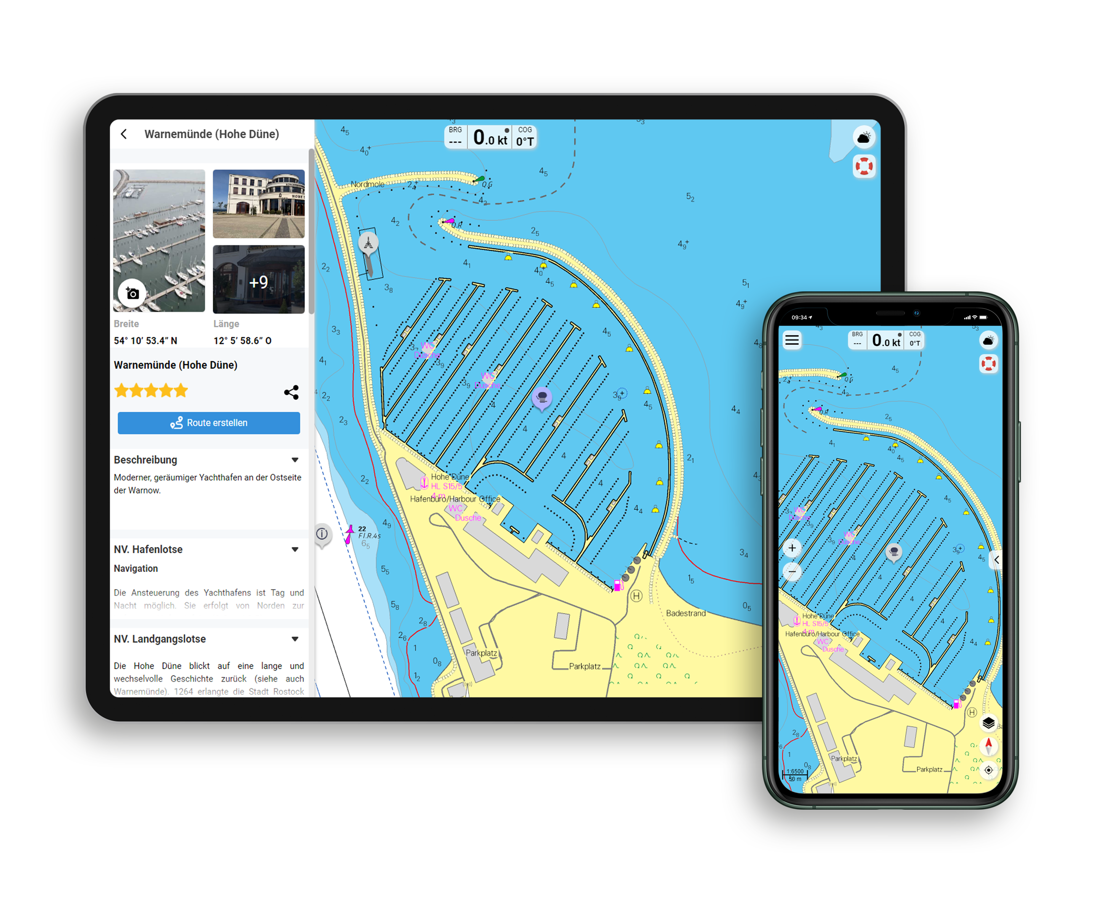
Functions of the NV Charts app
- Flexible autorouting
- Satellite overlay
- Augmented reality
- VMG (Velocity Made Good)
- BoatView harbour guide
- Track recording
- AIS connection and much more.
Charts and measures included
Passage Charts
C Greece 1:1,750,000 , C 2 Cyclades1:950,000 , C 3 Ák. Maléas to Crete - Mílos 1:350,000 , C 4 Ák.Vathy to Ándros - Athens 1:350,000 , C 5 Cyclades Central 1:350,000 , C 6 Cyclades South to Crete 1:350,000
Coastal Charts
C 7 Kýtira to Kólpos Argolikós 1:150,000 , C 8 Gulf of Argolikós to Poros 1:150,000 , C 9 W-Sporades - Corinth to Gaïdouróniso 1:150,000 , C 10 Gaïdouróniso to Ándros 1: 150,000 , C 11 Cyclades NW - Kéa to Sérfios 1:150,000 , C 12 Cyclades - Ándros to Páros 1:150,000 , C 13 Cyclades - Tínos to Náxos - Mýkonos 1: 150,000 , C 14 Cyclades - Náxos to Mílos - Síkinos 1:150,000 , C 15 Cyclades Central - Síkinos to Náxos 1:150,000 , C 16 Cyclades - Náxos to Astypálaia 1:150,000 , C 17 Cyclades - Síkinos to Thíra 1: 150,000 , C 18 Crete W - North & South Coast 1:200,000 , C 19 Crete Centre - North & South Coast 1:200,000 , C 20 Crete E - North & South Coast 1:200,000
Details
C 21A Náfplíon - Gulf of Argolikós 1:10,000 , C 21B Stenó Spetsón - Spétsai 1:12,000 , C 21C Liménas Pógonos - Póros 1:10,000 , C 21D Stenó Metópis - Aígina 1: 12,000 , C 22A Athens Harbours 1:20,000 , C 22B Lavrion & Olympic 1:8,800 , C 23A Órmos Gávrion- Ándros 1:20,000 , C 23B Korissía - Kéa 1:15,000 , C 23C Sitéia - Crete 1: 10,000 , C 23D Foínix - Sýros 1:25,000 , C 23E Livádion - Sérifos 1:15,000 , C 24A Mýkonos 1:30,000 , C 24B Náousa - Páros 1:25,000 , C 25A Stenó Antipárou 1:40,000 , C 25B Órmos Náxos 1: 30,000 , C 26A Stenó Mílou Kímólou- Milos 1:40,000 , C 26B Íos 1:20,000 , C 26C Stenó Koufónisos 1:10,000 , C 26D Astipálaia 1:17,000 , C 27A Thíra 1:70,000 , C 27B Crete - Ák. Ág.Ioannis to Nikólaos 1:50,000
| App License: | NV Charts App |
|---|---|
| Format: | NV Atlas, Gebundener Kartensatz |
With the help of our area preview, you can get an impression of which geographical region the product deals with or which areas a nautical chart covers.
Related products to this item
Products near this article
Reviews
Login

