Norwegen N 23 Südwestküste Bergens Fjordwelt Bergen bis Fedje

Chart ID: NOR 23
Scale: 1:50.000

€27.70*


Product number: 20524

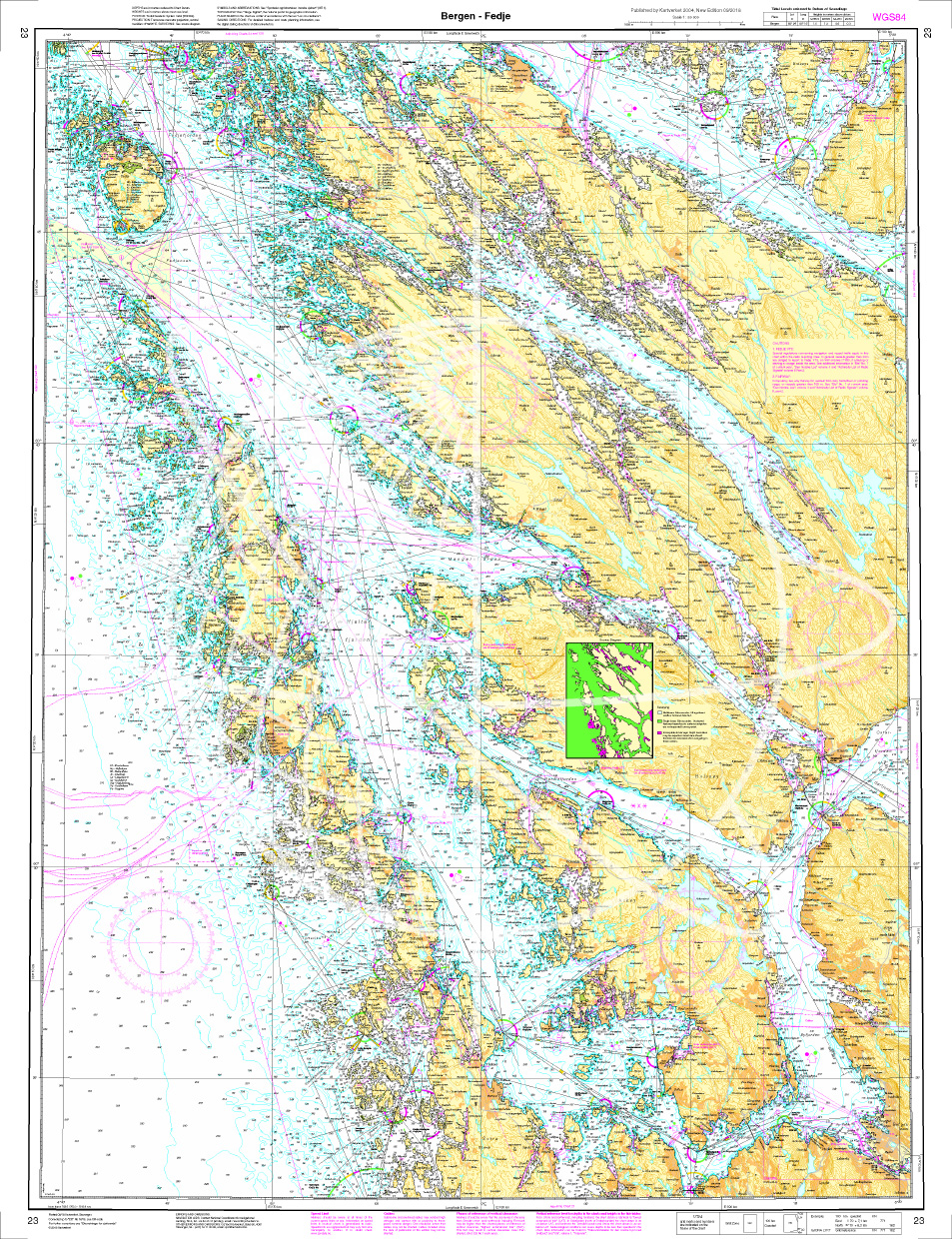
Description

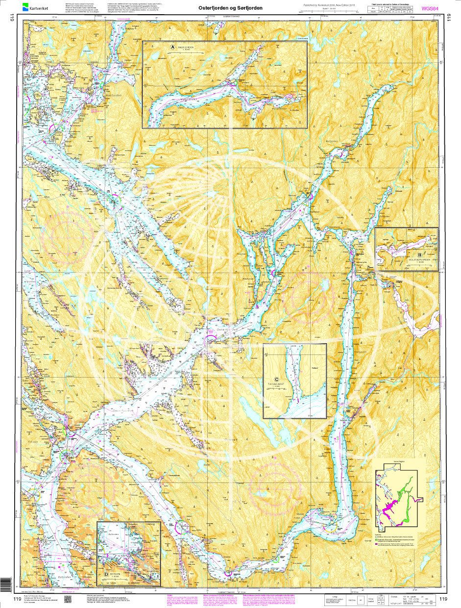
The Map N 23 covers the fjord world from Bergen northwest to Fedje Island. The detailed scale including all offshore islands is 1:50.000. As a further map we recommendN 119(Osterfjord and Sørfjord) to move inland from the coast towards the fjords or else N 120 (Hjeltefjorden. Stureterminalen and Mongstad) to conquer the archipelago in the Atalntik. We printn this map on customer request from actual datasets from the Norwegian Bureau of Hydrography using the Print-on-Demand (POD) method.

POD charts are excluded from exchange.


The official Norwegian nautical charts are not only suitable for water sports enthusiasts and anglers for navigation but are also very popular with cruise tourists.


For more information on the official Norwegian nautical charts printed by HanseNautic using the print-on-demand (POD) process please click here

Region: Europa, Atlantik, Norwegen
Size: Einzelkarte Papier
Area preview

With the help of our area preview, you can get an impression of which geographical region the product deals with or which areas a nautical chart covers.

Recommended by NV Charts

Recommended by NV Charts

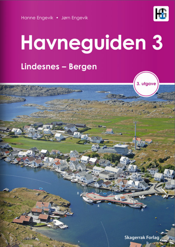
Havneguiden 3 Lindesnes - Bergen
When the rugged and beautiful southwest coast of Norway calls, be sure to take Havneguide 3 with you as it guides you from Lindesnes to Bergen.The most comprehensive Norwegian cruising guide has over

€74.90*

Related products to this item

Related products to this item

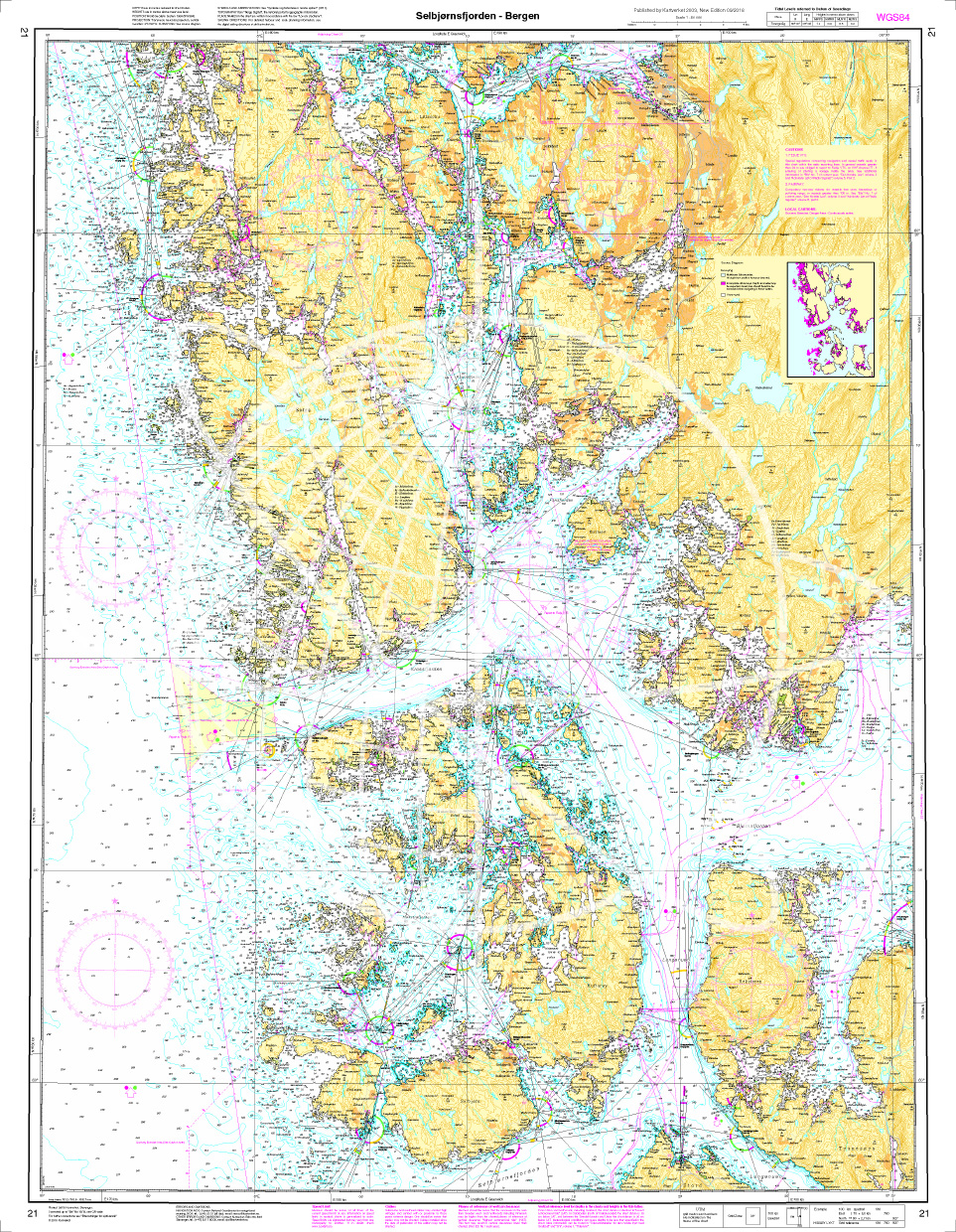
Norwegen N 21 Südwestküste Bergens Fjordwelt Selbjørnsfjorden – Bergen
The map N 21 covers the coastal landscape of the southwest coast of Bergen with the Selbjørnsfjorden and the offshore islands. The detailed scale is 1:50000. As an additional m

€27.70*
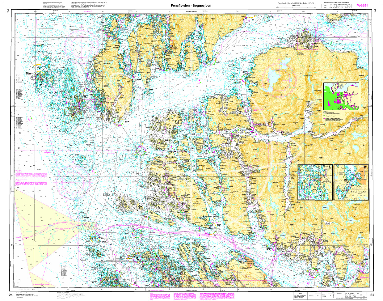
Norwegen N 24 Westküste mit Fensfjord und Meerenge Sognesjøen
Map N 24 covers the Fjensfjord northeast of Fedje and the strait Sognesjøen which leads directly into the Sognefjord. The detailed scale is 1:50000. As further map sets we recommend N 121 N124 and N 1

€27.70*
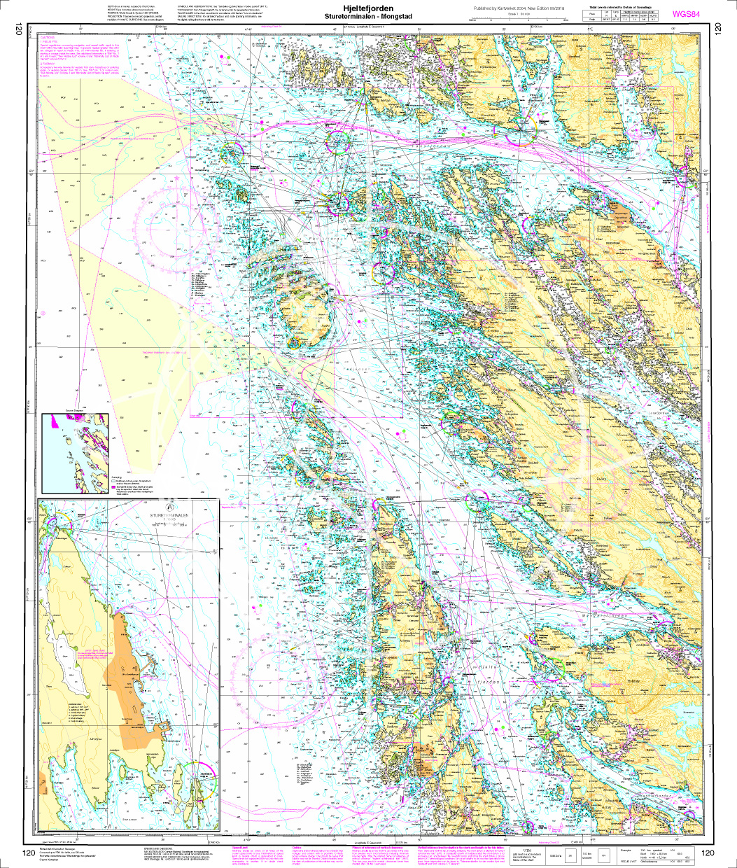
Norwegen N 120 Atlantik Hjeltefjorden - Stureterminalen - Mongstad
The Map N 120 covers the archipelago below Sognefjord and above Hardangerfjord. The detailed scale is 1:50.000. To this map set we recommend the snschließende N 24 (Fensfjorden

€27.70*
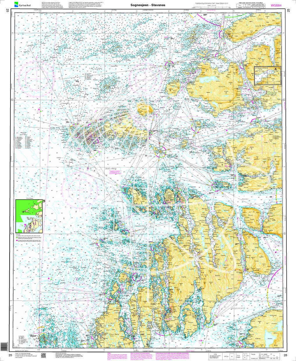
Norwegen N 25 Südwestküste von Sognesjøen bis Stavenes
The Map N 25 depicts the strait Sognesjøen which is ultimately the outermost part of the mighty Sognefjord and extends from there to Stavenes. All surrounding islands are listed. The d

€27.70*
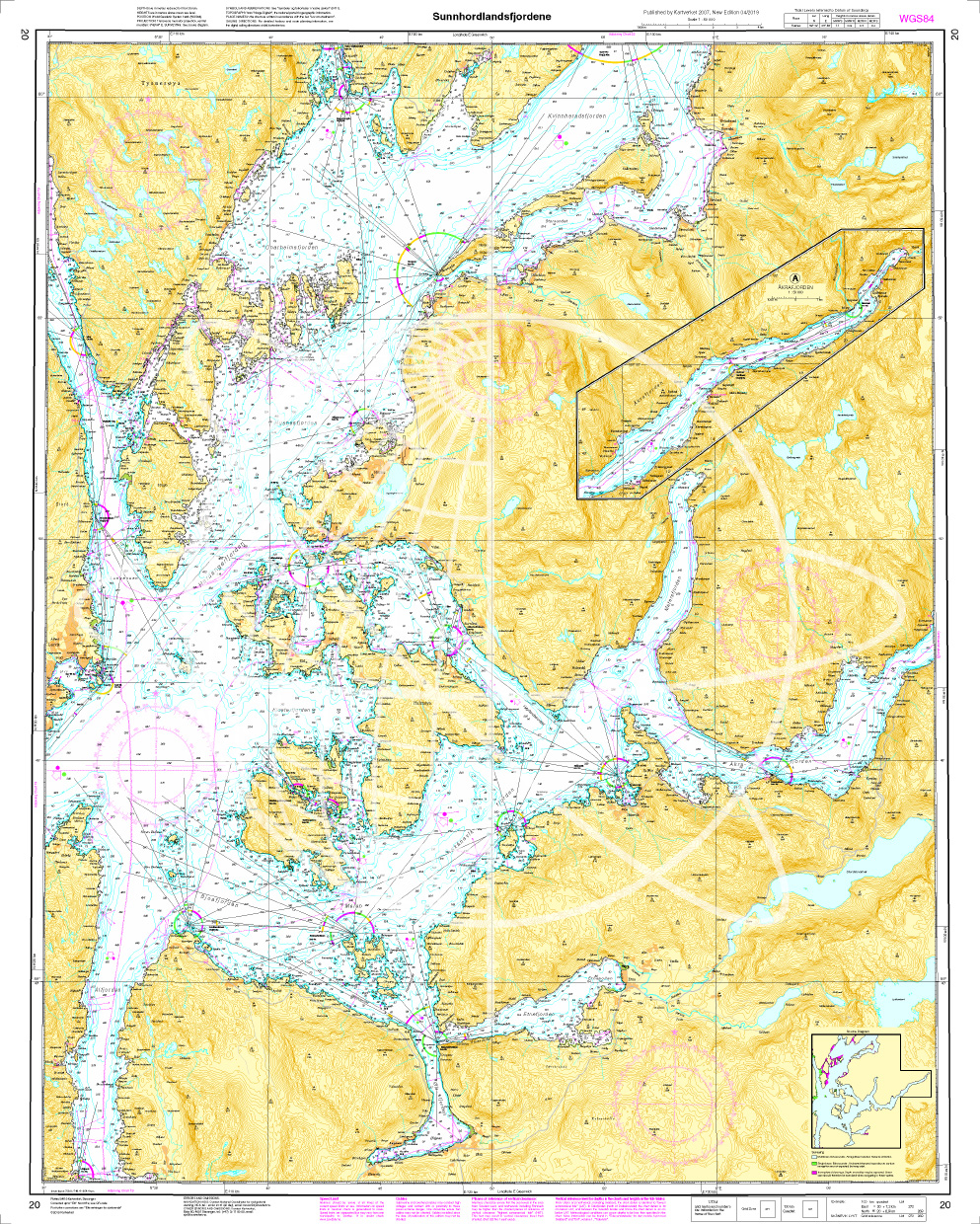
Norwegen N 20 Südwestküste Sunnhordland Fjord
The Map N 20 is needed to dive into the glacier world of Norway  in the region Sunnhordland with the Sunnhordlandfjord . The detailed scale is 1:50000. We print the

€27.70*
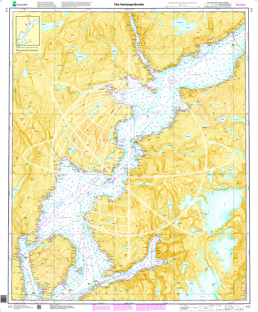
Norwegen N 117 Südwestküste Bergens Fjordwelt äußere Hardangerfjord
The Map N 117 guides you as you enter the Hardangerfjord. Sildafjord Hissfjord and Samlafjorden are shown at a detailed scale of 1:50000. For the onward journey into the inner Hard

€27.70*
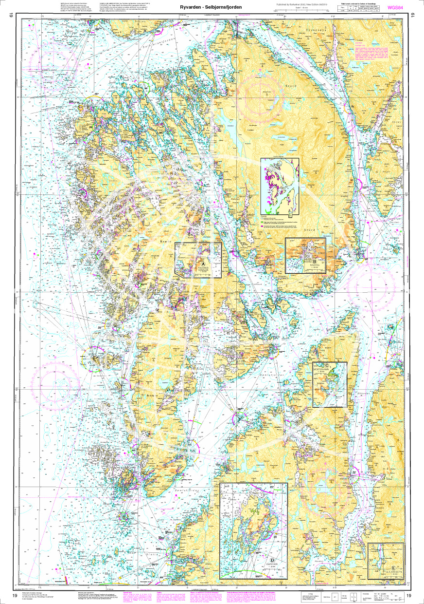
Norwegen N 19 Südwestküste von Osterfjorden und Sørfjorden
The Map N 19 depicts the fjord world above Haugesund and below Bergen with Osterfjorden and Sørfjorden. The detailed scale is 1:50000. As an additional map set we recommend N 20&n

€27.70*

Products near this article

Products near this article

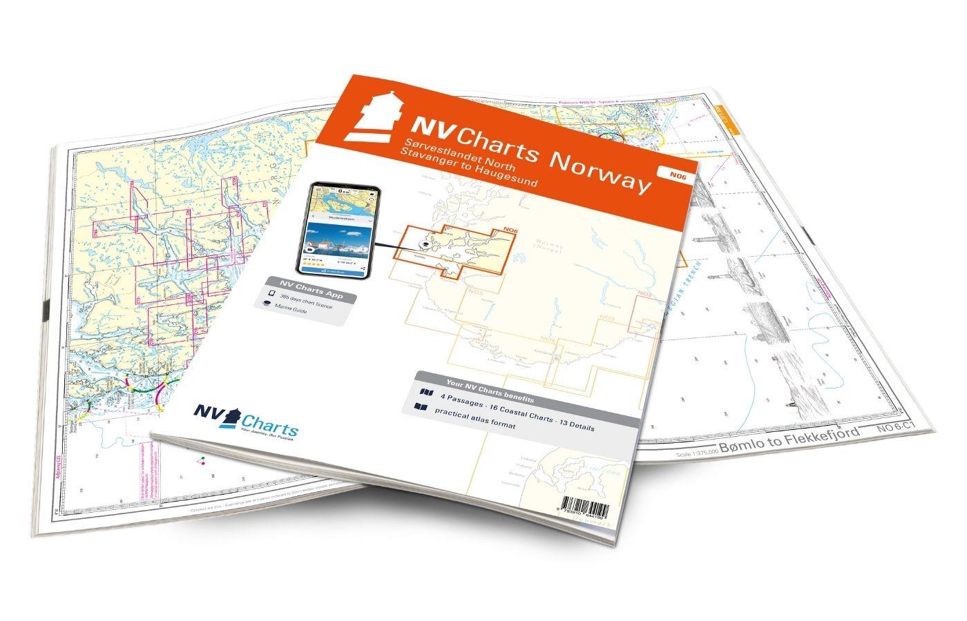
NV Charts Norway NO6 - Sørvestlandet Nord - Stavanger til Haugesund
Would you like to travel to the fairytale fjords on the south-west coast of Norway? The NV Charts Norway NO6 Atlas is your reliable partner. NV Charts for the Norwegian coast are based

€74.99*
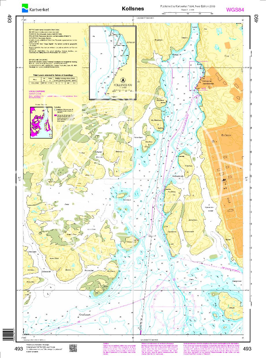
N 493 POD
Kollsnes. - POD cards are excluded from exchange.

€27.70*
Norwegen N 120 Atlantik Hjeltefjorden - Stureterminalen - Mongstad
The Map N 120 covers the archipelago below Sognefjord and above Hardangerfjord. The detailed scale is 1:50.000. To this map set we recommend the snschließende N 24 (Fensfjorden

€27.70*
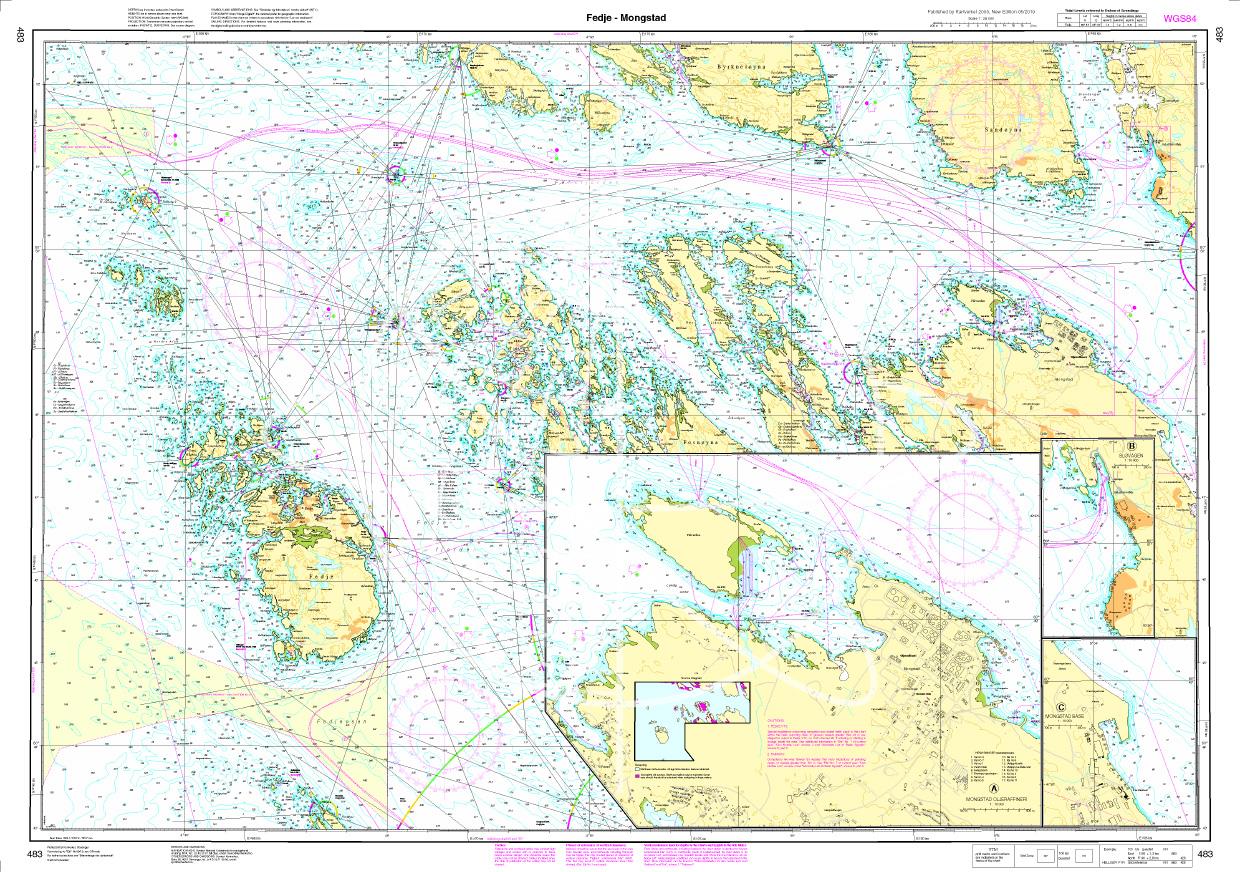
N 483 POD
Fedje - Mongstad. - POD cards are excluded from exchange.

€27.70*
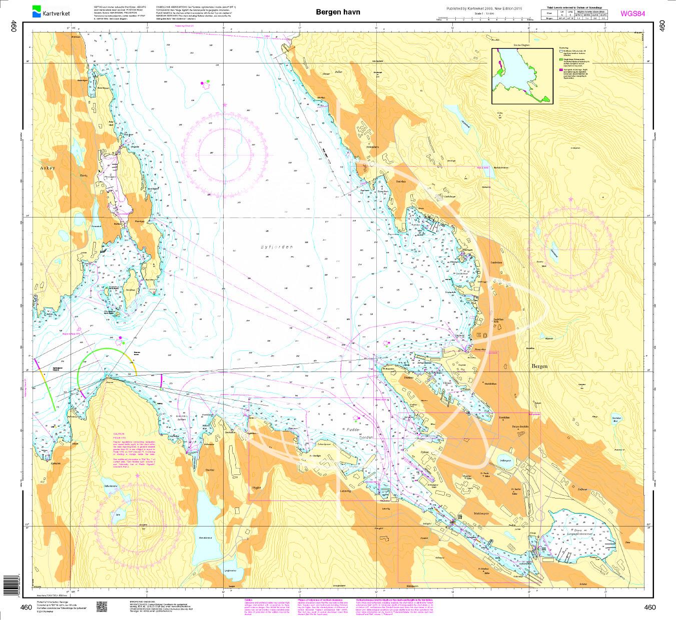
N 460 POD
Bergen havn. - POD cards are excluded from exchange.

€27.70*
Norwegen N 24 Westküste mit Fensfjord und Meerenge Sognesjøen
Map N 24 covers the Fjensfjord northeast of Fedje and the strait Sognesjøen which leads directly into the Sognefjord. The detailed scale is 1:50000. As further map sets we recommend N 121 N124 and N 1

€27.70*
Norwegen N 21 Südwestküste Bergens Fjordwelt Selbjørnsfjorden – Bergen
The map N 21 covers the coastal landscape of the southwest coast of Bergen with the Selbjørnsfjorden and the offshore islands. The detailed scale is 1:50000. As an additional m

€27.70*
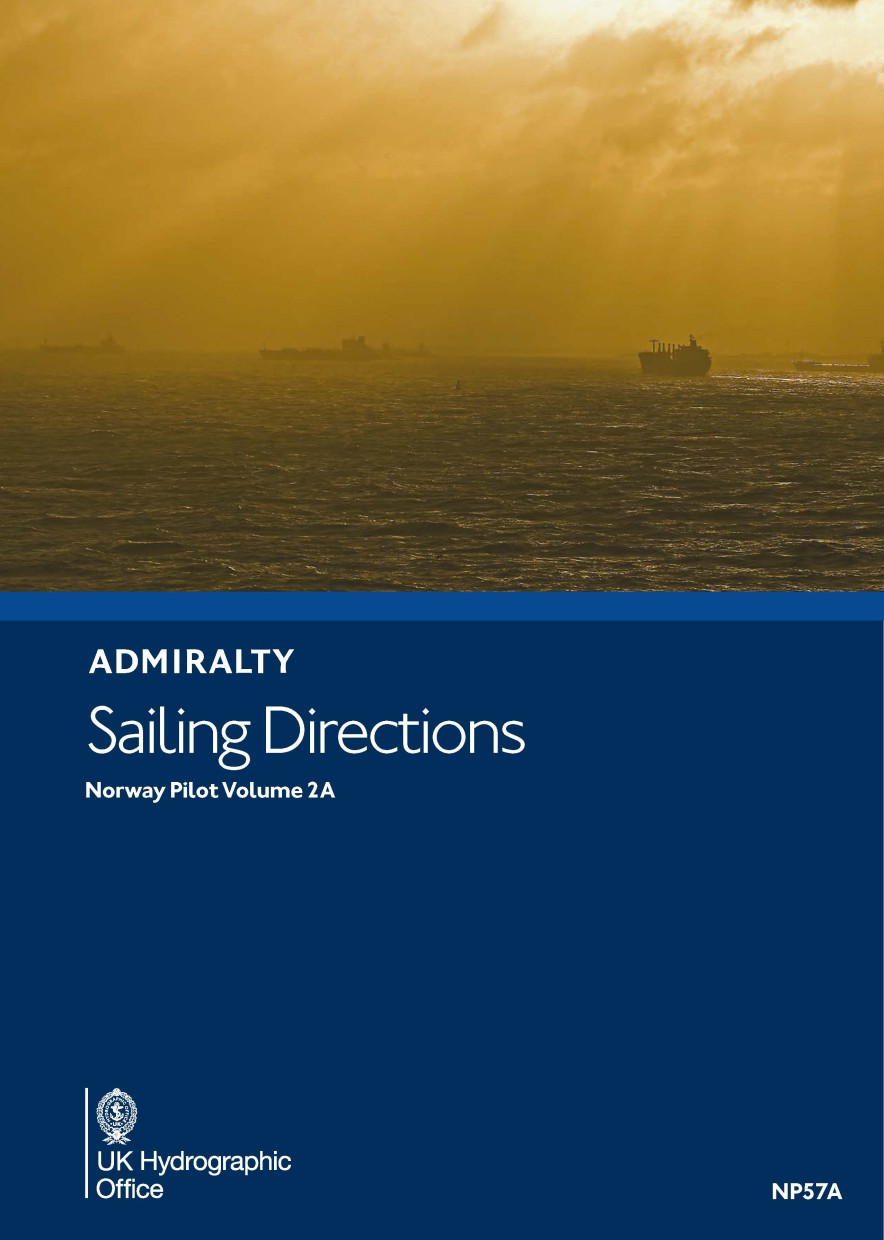
ADMIRALTY NP57A Norway Pilot Vol 2A
Official Sailing Manual ADMIRALTY Sailing Directions NorwayIncludes the west coast of Norway. From Jærens Rev do StadlandetNP57a is part of the worldwide series of books published by the United Kingdo

€109.90*
Norwegen N 119 Südwestküste Bergens Fjordwelt Osterfjord und Sørfjord
The Map N 119 presents the two fjords Osterfjord and Sørfjord above the Hardangerfjord. The detailed scale is 1:50.000. For the approach to Farsund Havn we recommend the detailed m

€27.70*
Norwegen N 25 Südwestküste von Sognesjøen bis Stavenes
The Map N 25 depicts the strait Sognesjøen which is ultimately the outermost part of the mighty Sognefjord and extends from there to Stavenes. All surrounding islands are listed. The d

€27.70*
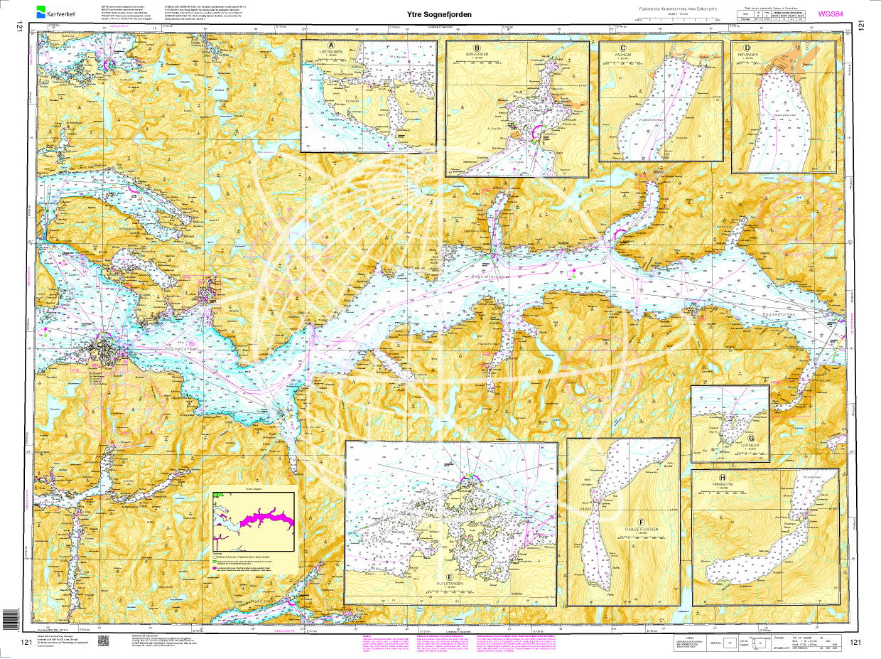
Norwegen N 121 Südwestküste Fjordwelt mit innerem Sognefjord
The Map N 121 presents the outer Sognefjord with all its ramifications in the Norwegian Fylke Vestland. The Sognefjord is the longest (205k) and deepest (1308m) fjord in Europe. &n

€27.70*

Reviews

0 of 0 reviews

Leave a review!

Share your experiences with other customers.