NV Binnen Plotterseekarten

Edition: 2024
Edition Date: 14.05.2024

€99.99*


Product number: 9844

Description

Maps & Port plans inland volumes  1 - 2 - 3 and 4

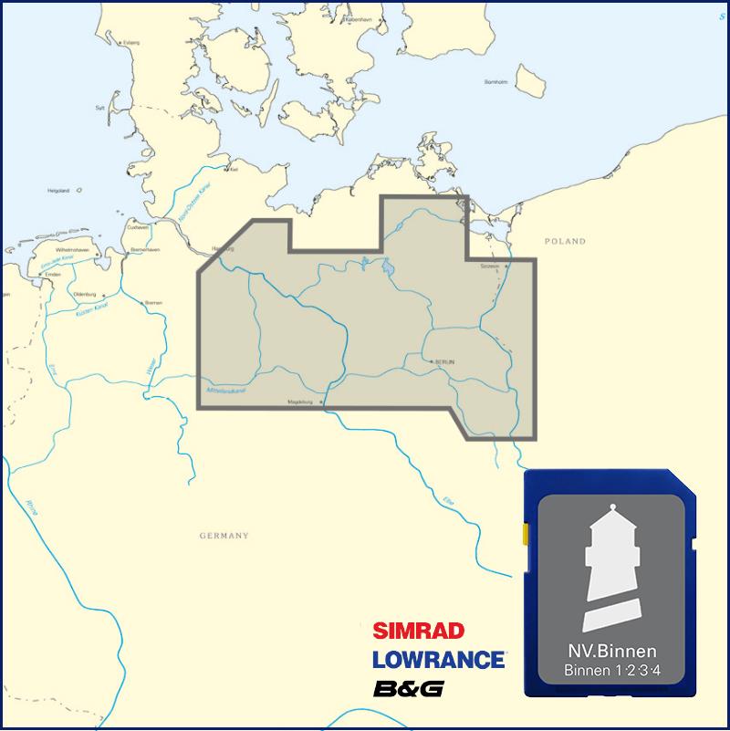
The NV Plotter Sea Chart NV Inland includes all four inland volumes of the NV Verlag and thus offers great flexibility in travel planning. No matter whether you are drawn to the charming waters of the Müritz or to the main city of Berlin - everything is included on this digital inland map. The waterways of the Oder and Peene as well as the Elbe to Hamburg are also shown on your chart plotter.

We strongly recommend that you carry the current NV Inland Volume for the corresponding region in the print version because current lake and inland maps in paper form are obligatory in Germany and also offer a lot of background information and lock times for the respective area.

The charts are supplied on "adapter chips" so the appropriate format is included regardless of whether your chart plotter uses SD or Micro SD cards.

As the charts are not readable on all devices from Simrad Lowrance and B&G please do not hesitate to contact us if you are unsure.

The SD card or Micro SD contains the digital NV nautical charts of the following series:

  • NV. Binnen 1 Berlin and Märkische Gewässer
  • NV. Inland 2 Berlin and Mecklenburg waters
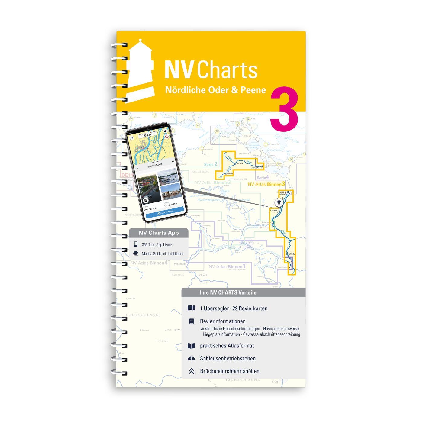
  • NV. Inland 3 The northern Oder and Peene
  • NV. Binnen 4 The Elbe and canal connections


The nv.plotter charts are stored on SD card and can be used flexibly on the devices according to the plug & play principle.
The map image is identical to that of the well-known NV.paper charts. Due to the raster chart display plotters with a screen size of 7 inches or more are recommended.

Features:

Lighthouse sectors are accurately displayed main fairways marked with minimum depths red 2-metre line well-presented and editorially prepared content sheet cut-free chart display.

Please note that NV plotter chips are currently only compatible with Navico Group (Simrad Lowrance B&G) instruments. 

  • Lowrance (All HDS series from Gen.1. & 2 & Elite TI)
  • Simrad (NSE NSS NSO and up)
  • B&G (All units Zeus / Vulcan series and up)


Digital plotter charts are an aid only and do not replace an actual paper chart.

Region: Deutschland, Europa
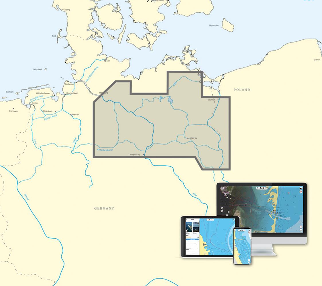
Area preview

With the help of our area preview, you can get an impression of which geographical region the product deals with or which areas a nautical chart covers.

Related products to this item

Related products to this item

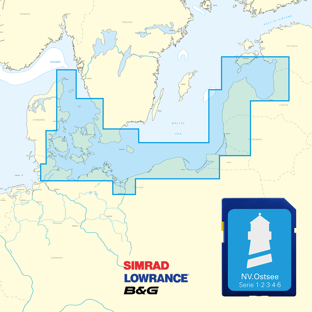
NV Ostsee Plotterseekarten
Karten & Hafenpläne der Serien 1, 2, 3, 4 und 6.Mit dieser Karte gelangen Sie von Skagen entlang der dänischen Küste und ihrer wunderschönen Inselwelt über Deutschland und Polen bis in d

€129.99*
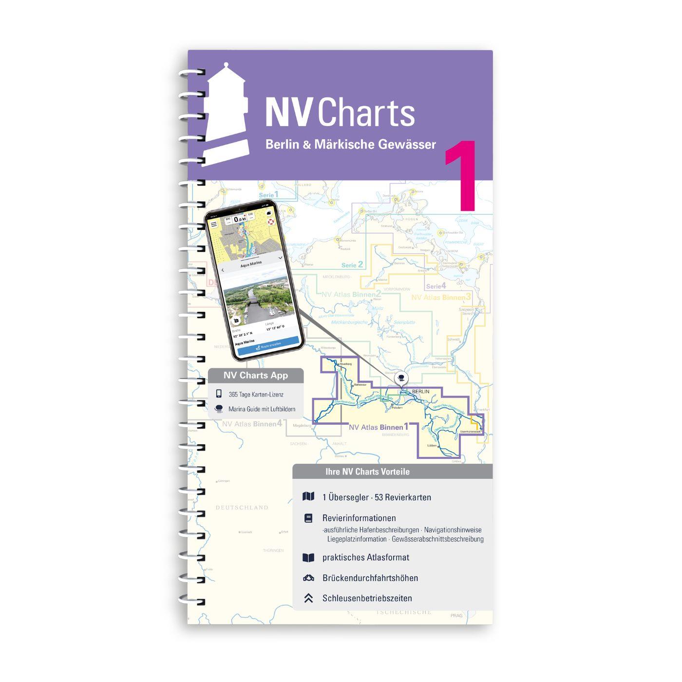
NV Binnen 1 Kombipack Berlin & Märkische Gewässer
Whoever wants to visit the capital Berlin from the water should not start this journey without the Inland Volume 1 Berlin & Märkische Gewässer by NV Charts. In addition to Berlin this ch

€44.99*
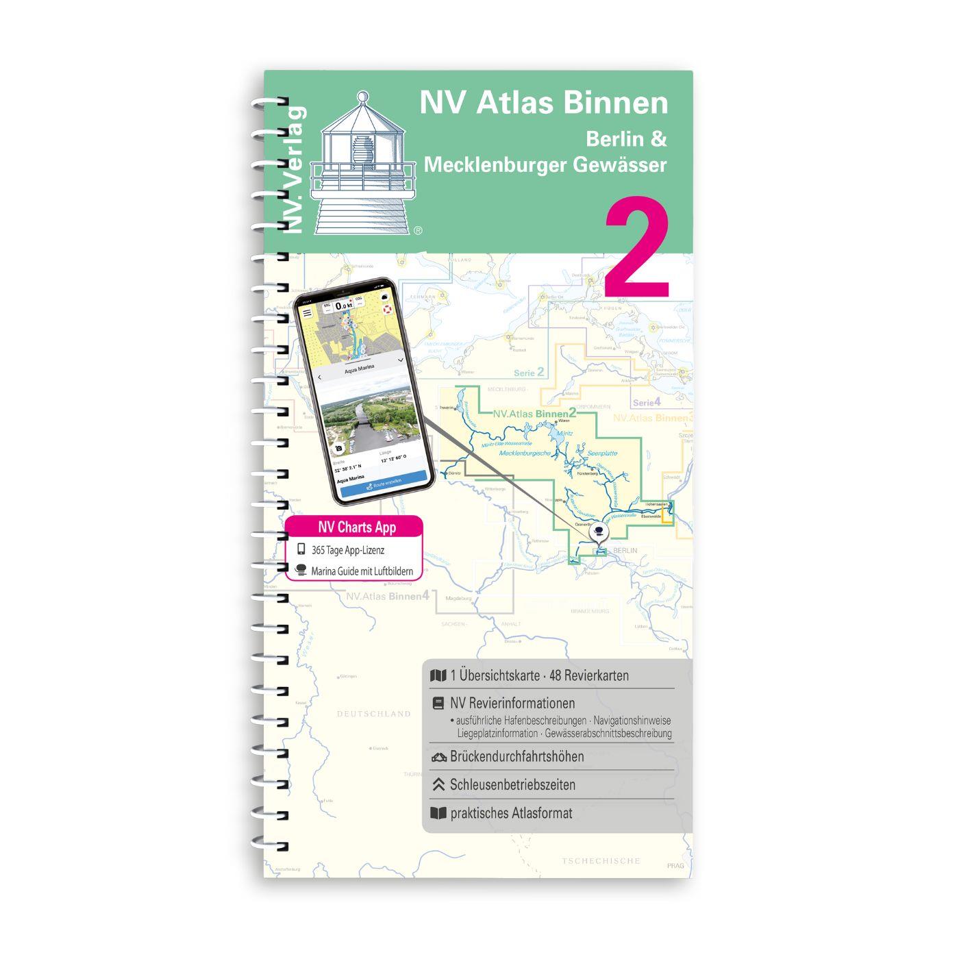
NV Binnen 2 Kombipack Berlin & Mecklenburgische Gewässer
If you are drawn to the largest networked water sports area in Europe you should have the inland volume 2 of NV Charts in your luggage. 1117 natural lakes provide a variety that is second to none. Fro

€44.99*
-26 %
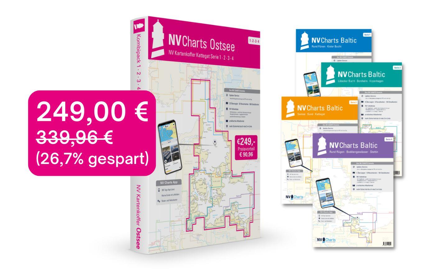
NV Charts Baltic Sea Chart Box incl. Region 1-4
 For all those who like to save and whose district is called the German and Danish Baltic Sea. With the Baltic Sea Case Series 1-4 our single map sets are offered to you at a special price of 198

€249.00* €339.96* (26.76% saved)
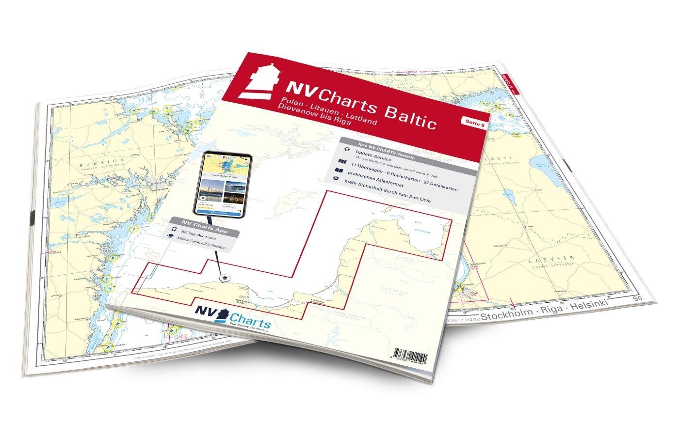
NV Charts Baltic Region 6 - Poland - Lithuania - Latvia
The NV Charts Baltic Series 6 includes the Polish Baltic coast and goes from Lithuania to Latvia . The chart series, specially designed for recreational boating, contains the nautical charts

€94.99*
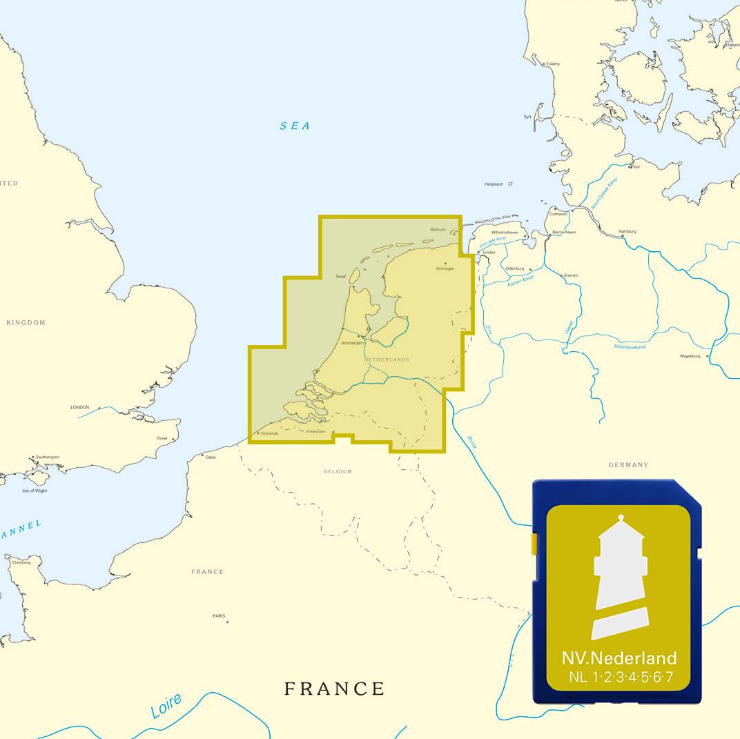
NV Niederlande Plotterseekarten
Maps of the series NL 1 NL 2 NL 3 NL4 NL 6 and NL 7With this map the Netherlands are completely covered both the coastal waters from Borkum to Oostende as the Ijsselmeer and the inland waters from Maa

€129.99*
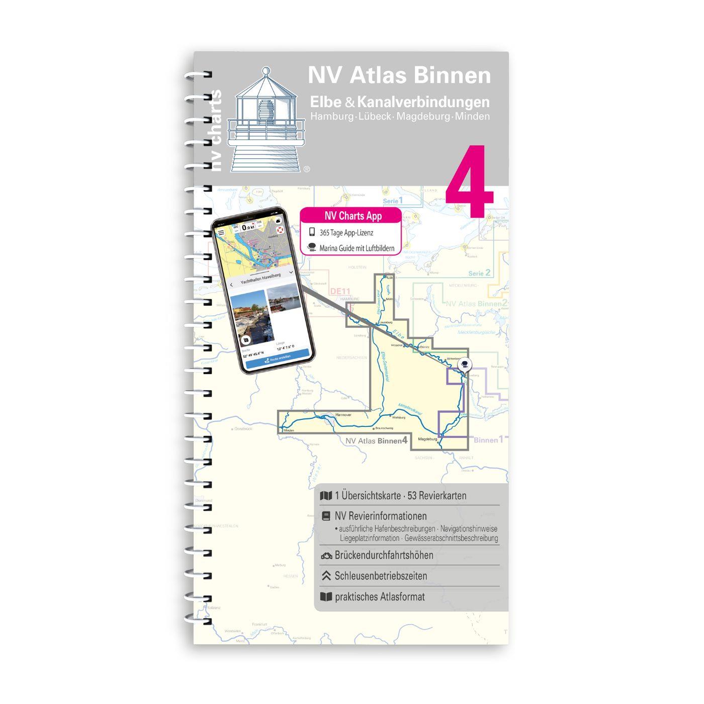
NV Binnen 4 Kombipack Elbe & Kanalverbindungen
The most exciting waterways can be found in Inland Volume 4 of NV Charts. The Elbe the Elbe-Lübeck Canal the Mittelland Canal and the Elbe-Seiten Canal are all highly frequented waterways with plenty

€44.99*

Products near this article

Products near this article

NV Binnen 2 Kombipack Berlin & Mecklenburgische Gewässer
If you are drawn to the largest networked water sports area in Europe you should have the inland volume 2 of NV Charts in your luggage. 1117 natural lakes provide a variety that is second to none. Fro

€44.99*
NV Binnen 1 Kombipack Berlin & Märkische Gewässer
Whoever wants to visit the capital Berlin from the water should not start this journey without the Inland Volume 1 Berlin & Märkische Gewässer by NV Charts. In addition to Berlin this ch

€44.99*
NV Binnen 4 Kombipack Elbe & Kanalverbindungen
The most exciting waterways can be found in Inland Volume 4 of NV Charts. The Elbe the Elbe-Lübeck Canal the Mittelland Canal and the Elbe-Seiten Canal are all highly frequented waterways with plenty

€44.99*
NV Charts App - German inland waters
NV Charts App - German inland waters[nvtext_abo_app_iap]This product can only be used in the NV Charts app, it is not compatible with other navigation programs.

€49.90*
NV Binnen 3 Kombipack Nördliche Oder & Peene
Whoever wants to travel along the German-Polish border down the Oder to historic Szczecin should set out on the journey with Inland Volume 3 of NV Charts. From Eisenhüttenstadt downstream to the Szcze

€44.99*

Reviews

0 of 0 reviews

Leave a review!

Share your experiences with other customers.