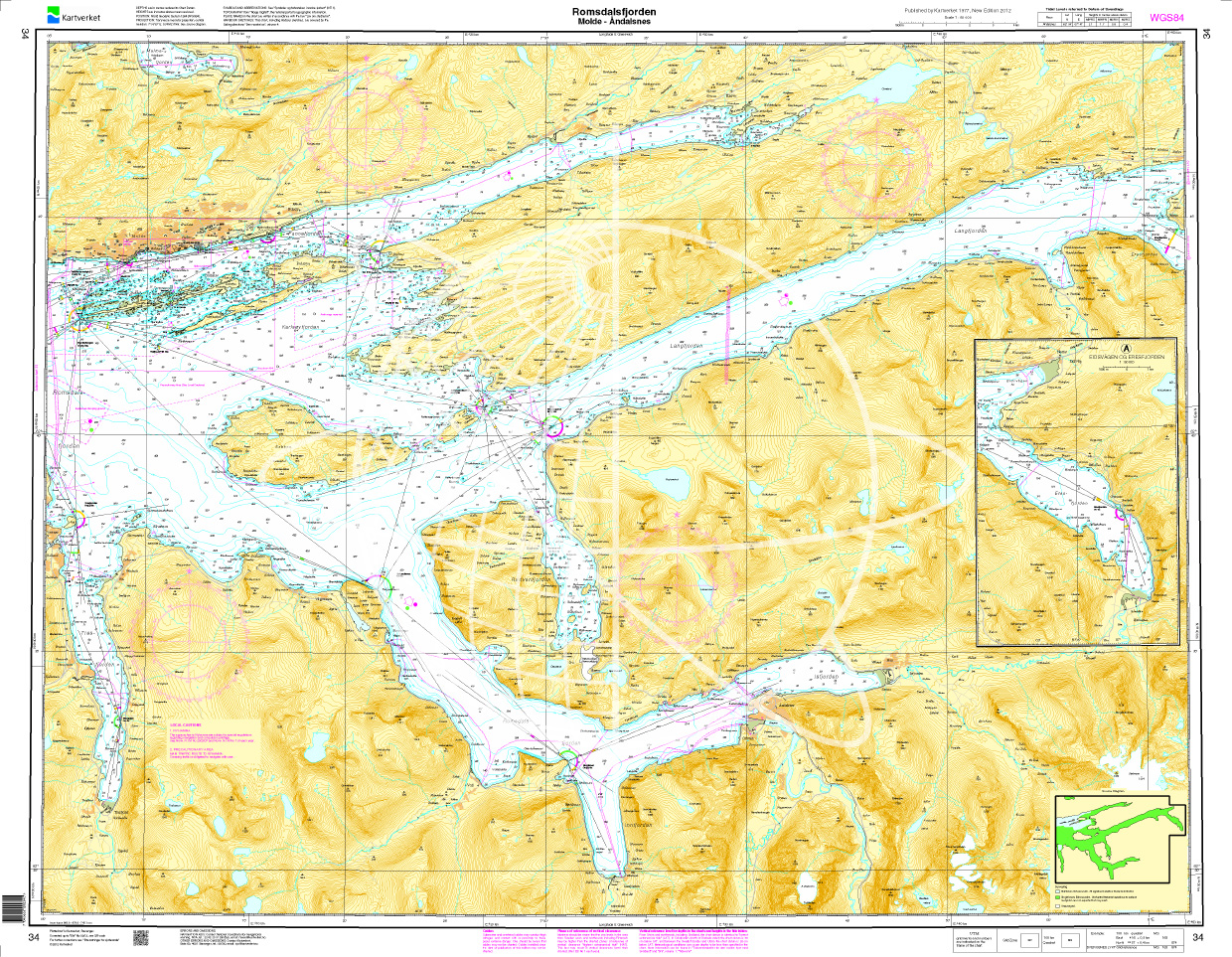
Norwegen N 34 Atlantik mit Romsdalsfjord von Molde bis Åndalsnes

Chart ID: NOR 34
Scale: 1:50.000

€27.70*


Product number: 20535

Description

The map N 34 shows the Romsdalsfjord from Molde to Åndalsnes. The detailed scale is 1:50.000. 

As additional maps we recommend N 33 (Haroeyfjorden - Molde). We print the maps on customer request from the current data sets of the Norwegian Bureau of Hydrography using the print-on-demand (POD) method.


POD maps are excluded from exchange.


The official Norwegian nautical charts are not only suitable for water sports enthusiasts and anglers for navigation but are also very popular with cruise tourists.

For more information on the official Norwegian nautical charts printed by HanseNautic using the print-on-demand (POD) process please click here

With the help of our area preview you can get an impression of which geographical region the product deals with or which areas a nautical chart covers.

Region: Europa, Atlantik, Norwegen
Size: Einzelkarte Papier
Area preview

With the help of our area preview, you can get an impression of which geographical region the product deals with or which areas a nautical chart covers.

Recommended by NV Charts

Recommended by NV Charts

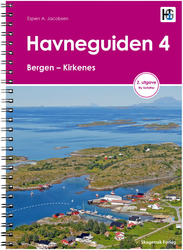
Havneguiden 4 Bergen - Kirkenes
This cruising guide accompanies you through the charming archipelago of Bergen to Kirkenes. Bergen, the gateway to the fjords, has one of the busiest seaports in Europe. This is where the Hurtigruten

€74.90*

Related products to this item

Related products to this item

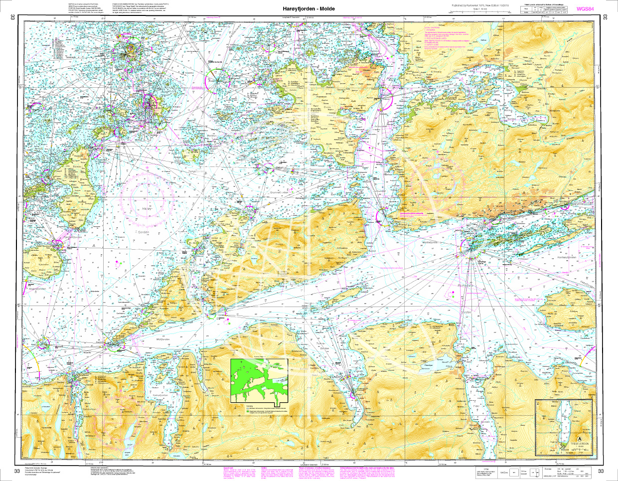
Norwegen N 33 Atlantik Harøyfjord bis Molde
The Map N 33 covers the Harøyfjord situated above Ålesund with the island of the same name as far as Molde. The detailed scale is 1:50.000. As additional maps we recommend&

€27.70*
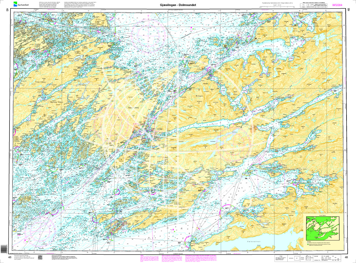
Norwegen N 48 Atlantik von Gjæslingan bis Dolmsundet
The Map N 48 shows the waterways around the archipelago around Gjæslingan with about 80 small islands and skerries. The detailed scale is 1:50.000. As additional maps we recommend

€27.70*
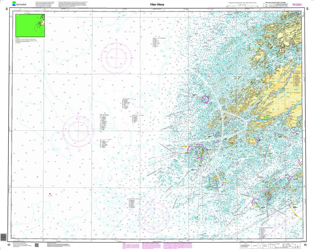
Norwegen N 49 Atlantik von Ytter bis Vikna
The map N 49 includes Vikna an island municipality with almost 6000 islands spars and skerries.The detailed scale is 1:50.000. We recommend the N 48 (Gjæslingan - Dolmsundet) as an

€27.70*

Products near this article

Products near this article

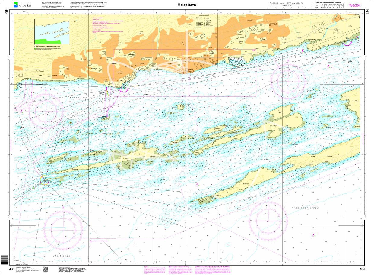
N 484 POD
Molde havn. - POD cards are excluded from exchange.

€27.70*
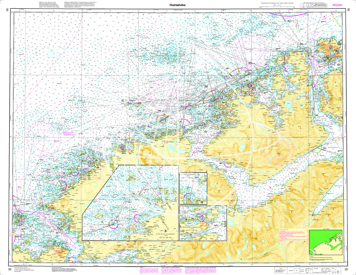
Norwegen N 35 Atlantik Hustadvika
The chart N 35 shows the 10 nautical mile stretch of Hustavika a shallow area full of islands and reefs. The ship route between Molde and Kristiansund runs along it. The detailed s

€27.70*
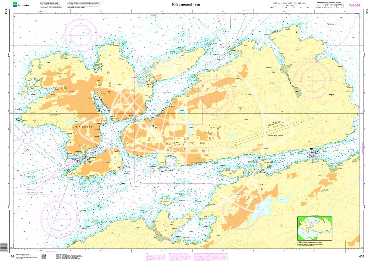
N 454 POD
Kristiansund havn. - POD cards are excluded from exchange.

€27.70*
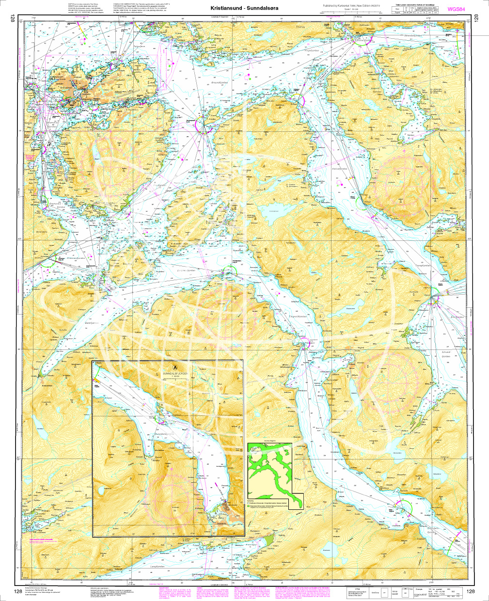
Norwegen N 128 Atlantik von Kristiansund - Sunndalsøra
The map N 128 shows Kristiansund and the fjords to the east as far as Sunndalsøra partly surrounded by mountains 1700m high. The detailed scale is 1:50.000. As additional maps

€27.70*
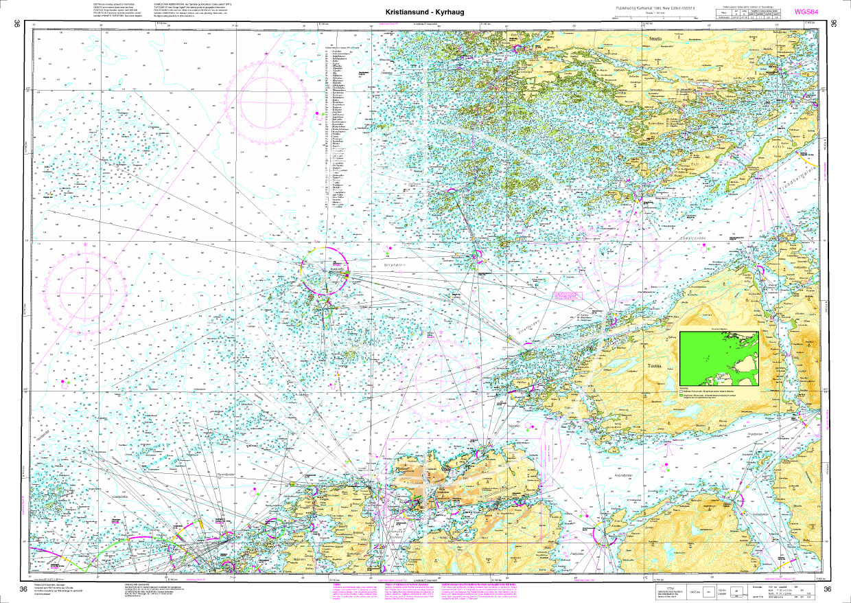
Norwegen N 36 Atlantik von Kistiansund bis Tyrhaug
The Map N 36 represents the waters from Kristiansund to the Tyrhaug lighthouse which has to be passed on the waterway from Kristiansund to Trondheim. The detailed scale is 1:50.000

€27.70*
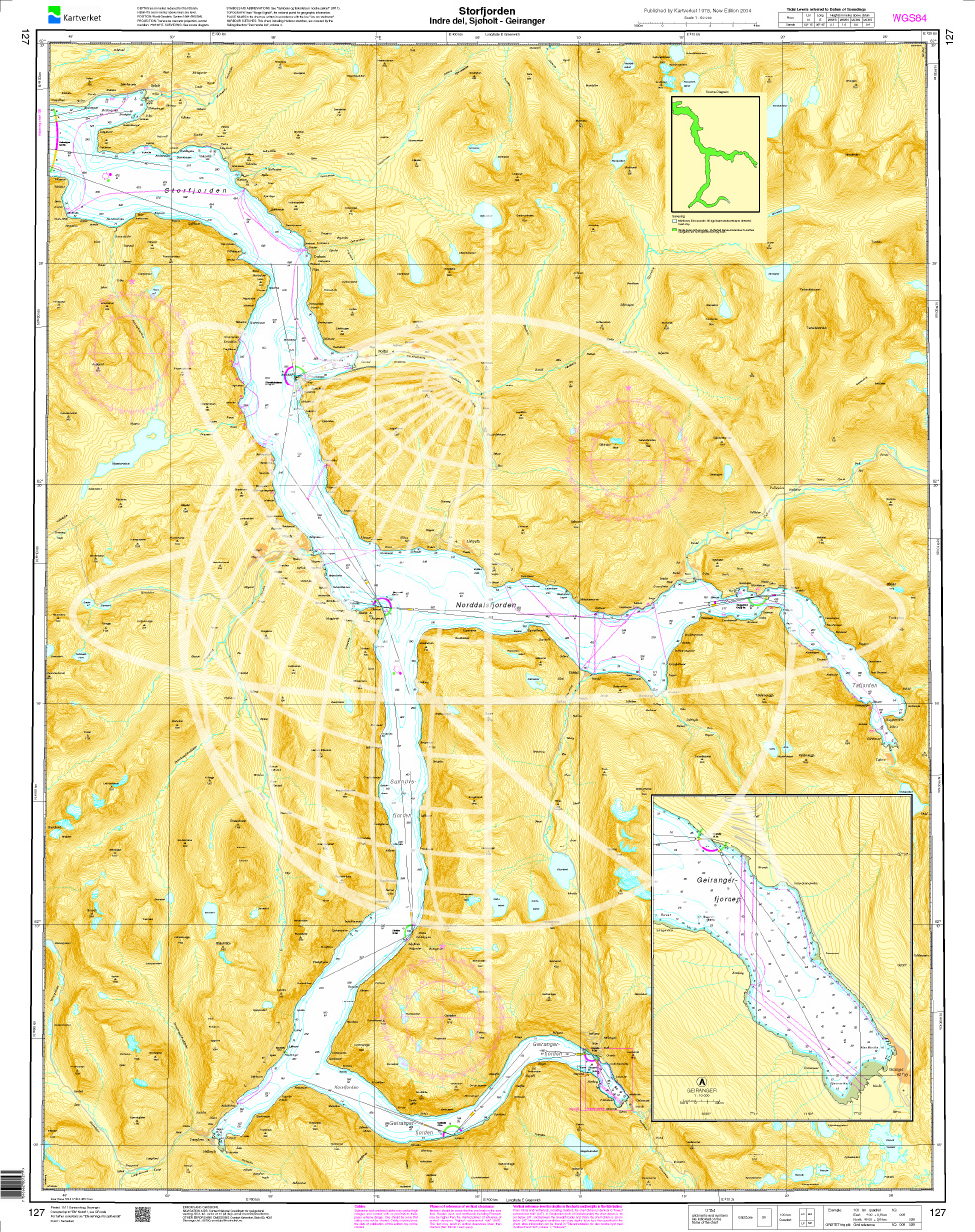
Norwegen N 127 Atlantik, Storfjord (innerer Teil), Sjøholt und Geirangerfjord
The map N 127  shows the inner part of the Storfjord as far as Sjøholt and the Geirangerfjord as far as the town of Geiranger. The detailed scale is 1:50.000. A

€27.70*
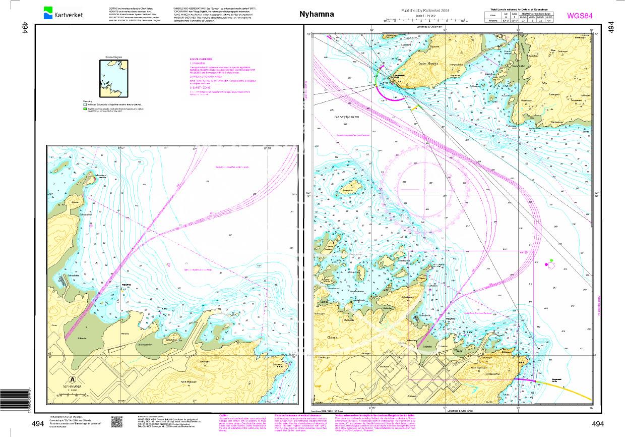
N 494 POD
Nyhamna. - POD cards are excluded from exchange.

€27.70*
Norwegen N 33 Atlantik Harøyfjord bis Molde
The Map N 33 covers the Harøyfjord situated above Ålesund with the island of the same name as far as Molde. The detailed scale is 1:50.000. As additional maps we recommend&

€27.70*
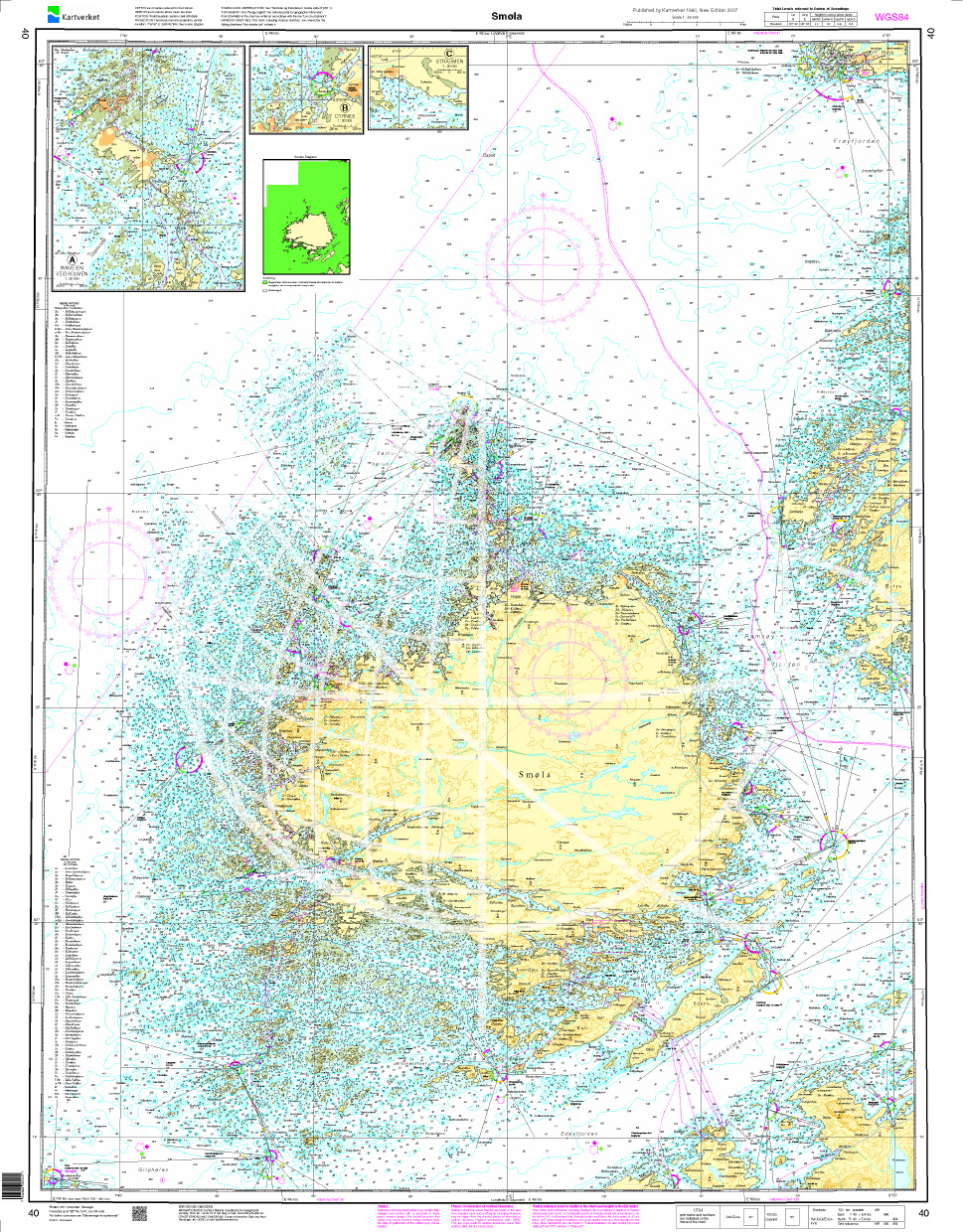
Norwegen N 40 Atlantik Smøla
The Map N 40 is concerned only with the island of Smøla and all the small islands that are in the immediate vicinity. The detailed scale is 1:50.000. As an additional map we recommend

€27.70*
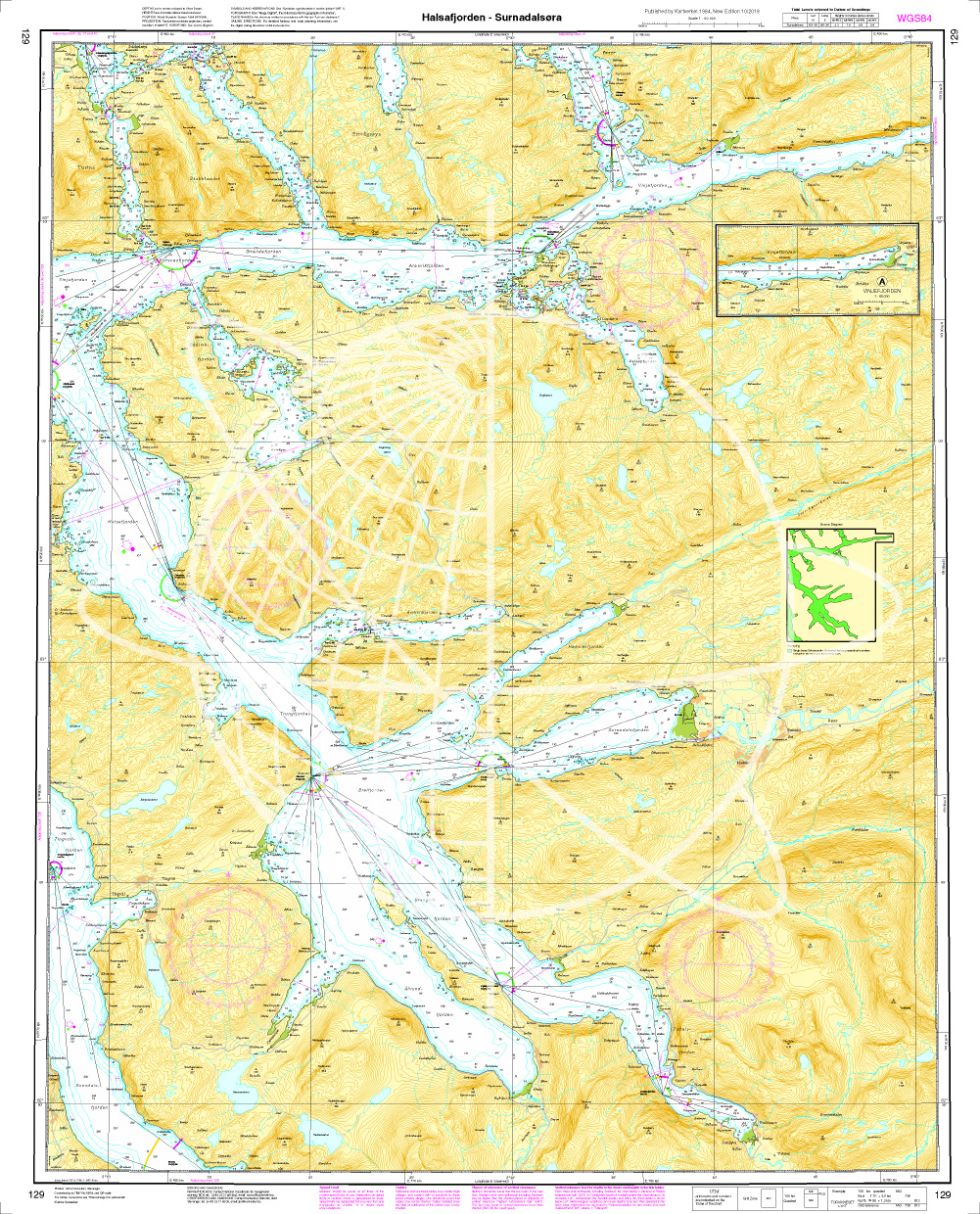
Norwegen N 129 Atlantik vom Halsafjord bis Surnadalsøra
The map N 129 is the connecting map of N 128 and shows the inner fjords from Halsafjord to Surnadalsøra.The detailed scale is 1:50000. As another map we recommend the N 128 (Kristiansu

€27.70*
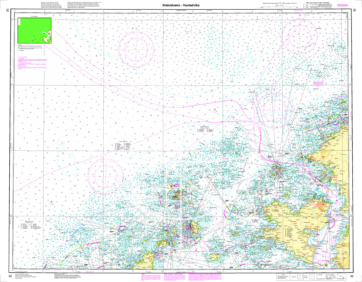
Norwegen N 32 Atlantik von Steinshamn auf Harøya bis Hustadvika
The map N 32 represents north of Ålesund the island of Harøya with the village of Steinshamn to the north to the 10 nautical mile section of Hustadvika which is on the shipping rou

€27.70*

Reviews

0 of 0 reviews

Leave a review!

Share your experiences with other customers.