C-MAP 4D MAX+ Wide EW-D225 France Inland

€239.00*

 
Information about your plotter
Please let us know which plotter you would like to use this product for.
Bitte tragen Sie die Marke und die Modellbezeichnung Ihres Plotters in das Textfeld ein. Wir werden intern prüfen, ob dieses Produkt mit Ihrem Plotter kompatibel ist. Mit dieser Information können wir Fehlbestellungen verringern und Ihnen mitteilen, wenn Sie eventuell ein anderes Produkt für Ihren Plotter benötigen.
Bitte geben Sie eine Telefonnummer an, unter der wir Sie erreichen können, falls Ihre Angaben zum Plotter nicht ausreichen oder Ihr Modell nicht zur gewünschten Karte passt.
Information about your plotter
Share your configuration
 
Product number: 24184

Description

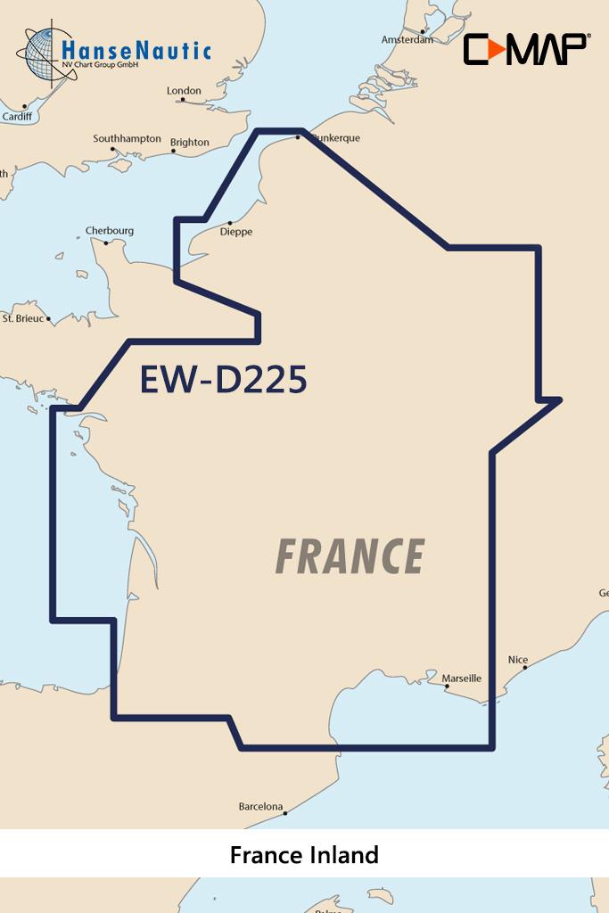
Electronic nautical chart for the French inland waters for modern chartplotters and multifunction displays.

Coverage

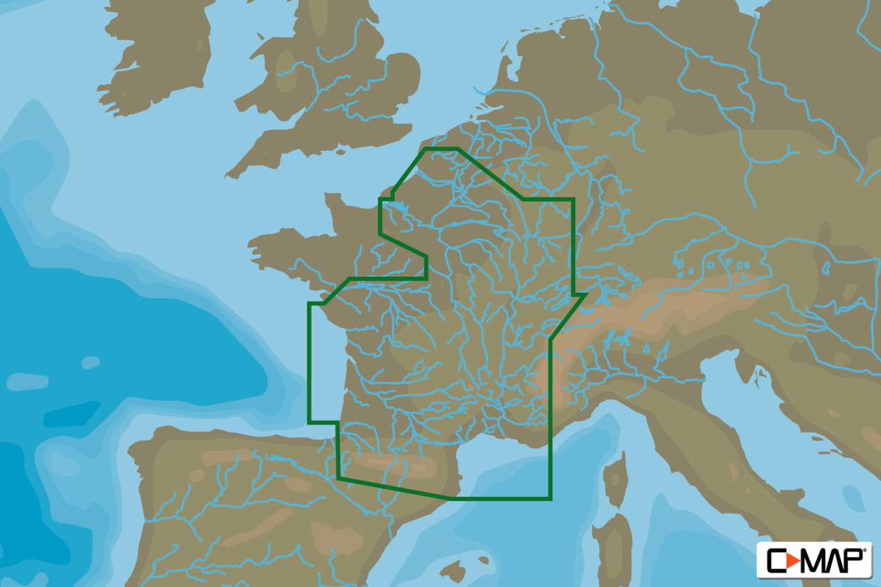
The C-MAP Chart EW-D225 covers the French inland waters .

Data carrier

This electronic nautical chart is supplied on an mSD data carrier which is included in an SD card adapter. But without the satellite imagery oblique aerial imagery and raster charts usually found in the ""+"" format. These 4D maps have only the proven vector maps stored.

Compatibility

Suitable e.g. for many Furuno plotters all current Raymarine MFD models Axiom Axiom Pro as well as a-series e-series c-series eS-series gS-series.

Please refer to the Compatibility list - we will be happy to help.

Tip: When ordering your nautical chart always state the make and model of your plotter to avoid incorrect deliveries.

Revocation excluded

These nautical charts are produced by us for you on customer request in order to always provide you with the most up-to-date data. For this reason, the charts are excluded from exchange and revocation.

Format: mSD-Karte
Size: Wide
Area preview

With the help of our area preview, you can get an impression of which geographical region the product deals with or which areas a nautical chart covers.

Products near this article

Products near this article

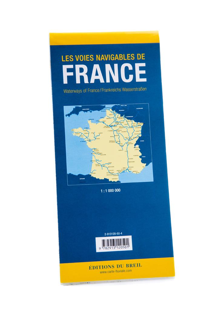
Les voies navigables de France
This map shows all the rivers and canals of mainland France at a scale of 1 : 1 250 000. For each waterway all details such as length water depth and headroom are given. All locks are also included. C

€14.50*
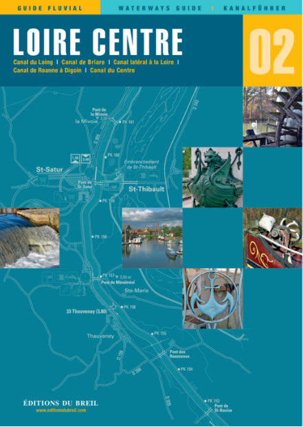
EDB 02 Loire/Nivernais
Canal du Loing Canal de Briare Canal latéral à la Loire Canal de Roanne à Digoin Canal du Centre Canal du NivernaisWith this inland guide you will discover besides the famous seven-step lock staircase

€22.00*
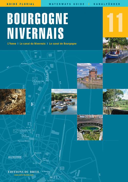
EDB 11 Bourgogne/Nivernais
Burgundy Canal Yonne and Canal du Nivernais.This inland guide describes the entire navigable section of the Yonne River.Although the Yonne carries more water than the Seine at the level of Montereau o

€22.00*
EDB 05 Lot
Navigable Lot between Aiguillon and Saint-Vite and between Luzech and LarnagolUntil the end of the 19th century the Lot was officially navigable for over 400 kilometres. At the beginning of the 20th c

€21.00*
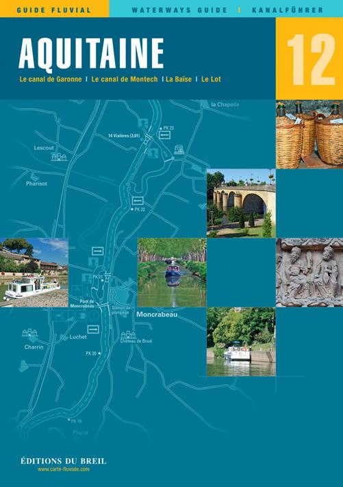
EDB 12 Aquitaine
Garonne Canal de Garonne Baïse Lower LotIn the middle of the 19th century several tributaries of the Garonne were still used as water transport routes. However most of these rivers were removed from t

€22.00*
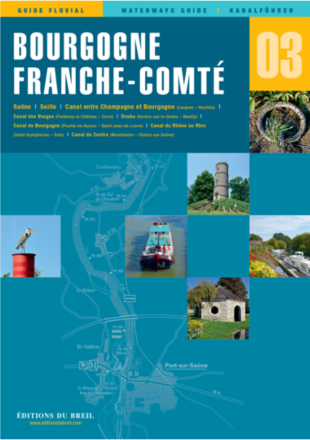
EDB 03 Bourgogne/Franche Compté
Saône, Seille, Canal entre Champagne et Bourgogne (Langres - Heuilley), Canal des Vosges (Fontenoy-le-Château bis Corre), Doubs, Canal de Bourgogne (Pouilly-en-Auxois bis Saint-Jean-de-Losne), Canal d

€22.00*
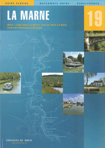
EDB 19 La Marne
Marne canal latéral à la Marne canal de lAisne à la Marne canal entre Champagne et Bourgogne.There are several good reasons why you should choose the "Route Marnaise" when travelling between northern

€22.00*
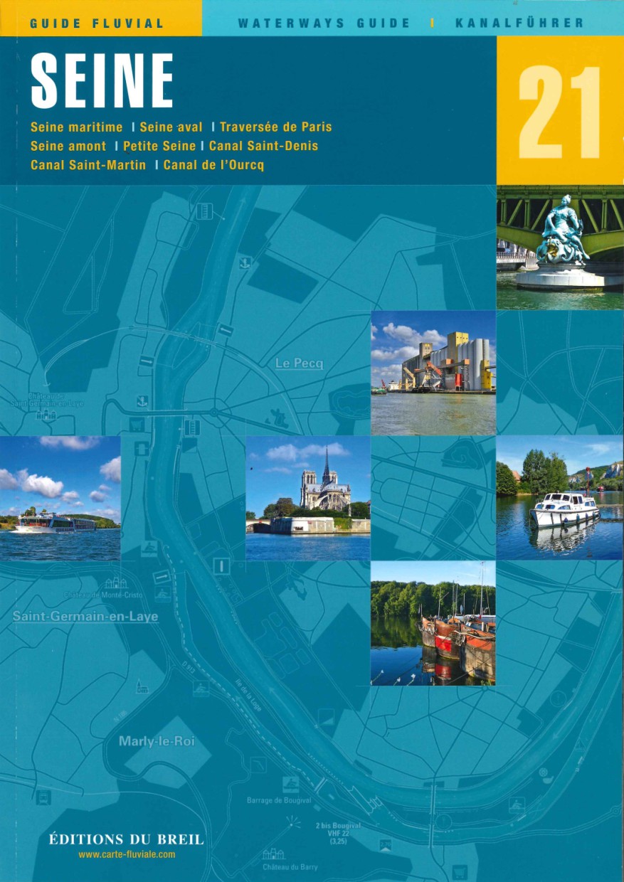
EDB 21 La Seine
Seine maritime Seine aval traversée de Paris Seine amont Petite Seine canal Saint-Denis canal Saint-Martin canal de lOurcqThe Seine is after the Loire Frances second longest river and crosses the coun

€25.50*
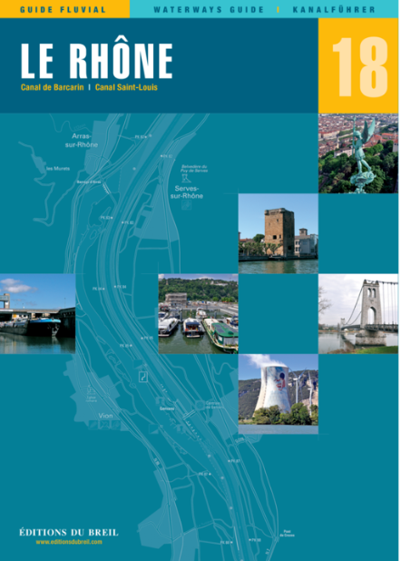
EDB 18 Le Rhone
Le Petit Rhône canal de Barcarin canal Saint-Louis.The Rhône is the "grand fleuve" (big river) of French Provence. The partly very wide and powerful river should be enjoyed with caution especially whe

€24.00*
EDB 06 Charente
The entire navigable Charente between Angoulême and the AtlanticThe Charente is a coastal river 361 km long and is navigable on the section between the city of Angoulême and the Atlantic Ocean. The ri

€21.00*
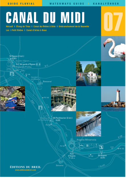
EDB 07 Canal du Midi
Hérault étang de Thau canal du Rhône à Sète embranchement de la Nouvelle Lez Petit Rhône canal dArles à BoucThe Canal du Midi planned and designed by Pierre-Paul Riquet is best known for its large num

€22.00*

Reviews

0 of 0 reviews

Leave a review!

Share your experiences with other customers.