NV Charts App - Netherlands

€49.90*

Free shipping


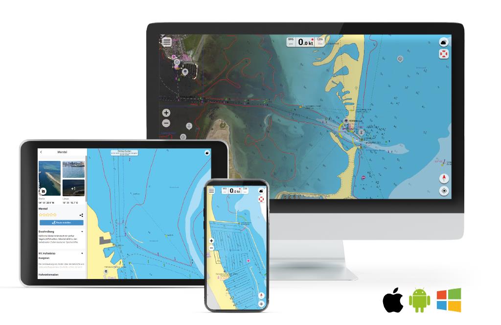
The digital nautical charts from NV Charts can be purchased conveniently via the NV Charts app. Open your app and select the desired area.

If you do not yet use the NV Charts app, you can download it here. After successful installation on your mobile device, such as a mobile phone or tablet, and the creation of your customer account, you can select your charts and purchase them via the app.

Product number: 19109

Description

NV Charts App - Netherlands

With this product, you receive a 365-day licence of the corresponding area for use in your NV Charts app. During the licence period you will receive all updates of your charts and you can back them up on your devices to use them offline without internet connection.

If you have accessed this page directly from your app, your order will be linked to your app account. Once payment has been received, the chart will be listed in your app under the menu item Charts > My Charts. There you can download it to your device and use it. It is also available to you via the app on all other devices you use.

Please note that your app login data is not valid for the NV Charts Shop. For the NV Charts Shop, you need your own customer account if you do not already have one.


This product can only be used in the NV Charts app, it is not compatible with other navigation programs.

App License: NV Charts App
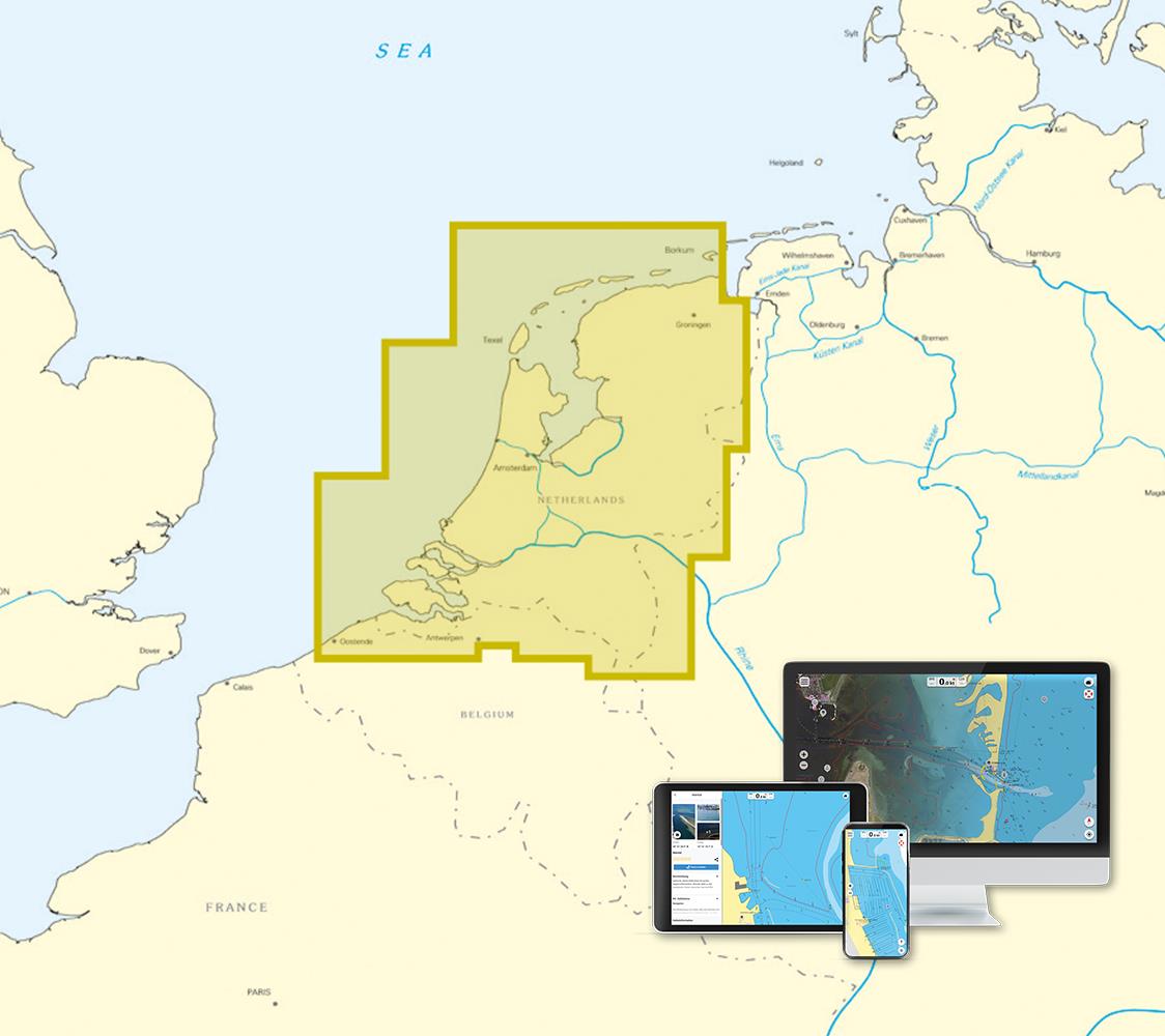
Area preview

With the help of our area preview, you can get an impression of which geographical region the product deals with or which areas a nautical chart covers.

Related products to this item

Related products to this item

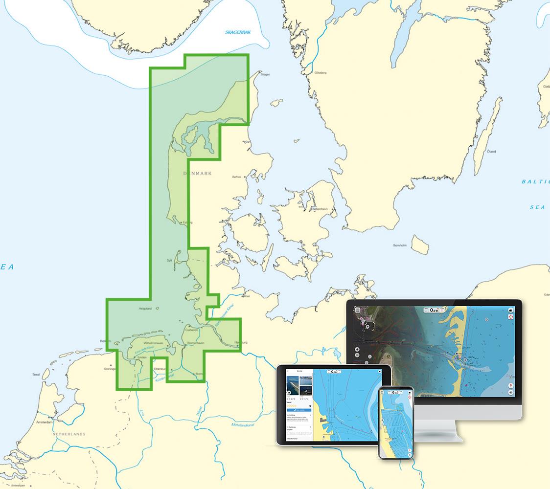
NV Charts App - North Sea
NV Charts App - North Sea[nvtext_abo_app_iap]This product can only be used in the NV Charts app, it is not compatible with other navigation programs.

€49.90*
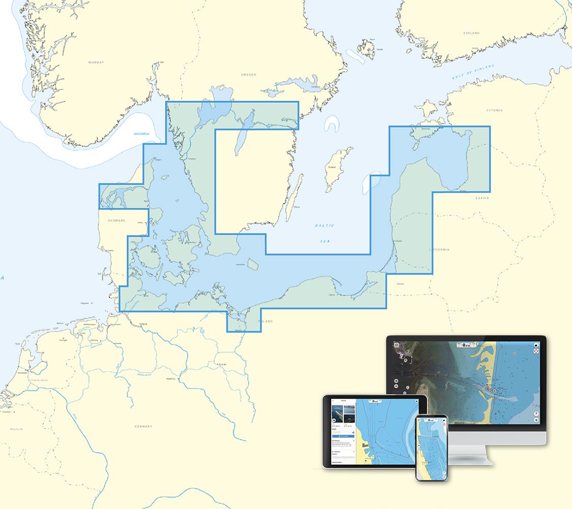
NV Charts App - Baltic Sea and Kattegat
NV Charts App - Baltic Sea and Kattegat[nvtext_abo_app_iap]This product can only be used in the NV Charts app, it is not compatible with other navigation programs.

€49.90*
New
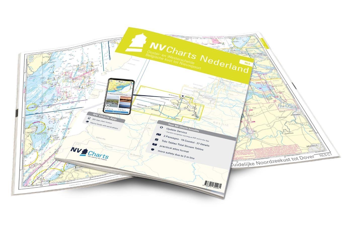
NV Atlas Nederland NL5 - Ooster & Westerschelde
If you want to travel through the "Oosterschelde" and "Westerschelde" delta regions, you will find a suitable travel companion in NL5. This varied beautiful region is characterized by tides and nature

Variants from €51.99*
€64.99*
New
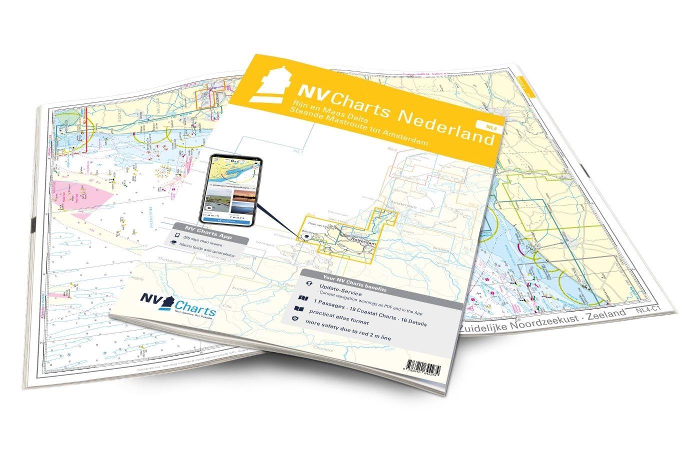
NV Atlas Nederland NL4 - Rijn & Maas Delta
The NL4 is the perfect companion for the water sports area around Rotterdam, the southern part of the famous "Staande Mastroute," and the Maas Delta. In the north, the Atlas begins near the capital Am

Variants from €51.99*
€64.99*

Products near this article

Products near this article

New
NV Atlas Nederland NL1 - Borkum naar Oostende
The Dutch NV nautical charts start with the NL1. This chart set connects with the most southern German North Sea chart DE13 and is the ideal chart to get directly to the United Kingdom or to cross the

Variants from €51.99*
€64.99*
NV Kroatien Plotterseekarten
Maps & Port plans of the HR 1 and HR seriesThe plotter chip Croatia contains the digital nautical charts of the popular NV Charts chart sets for the Adriatic Sea. The area in the Me

€99.99*
New
NV Atlas Nederland NL4 - Rijn & Maas Delta
The NL4 is the perfect companion for the water sports area around Rotterdam, the southern part of the famous "Staande Mastroute," and the Maas Delta. In the north, the Atlas begins near the capital Am

Variants from €51.99*
€64.99*
ANWB Waterkaart 19 - Nederlandse Kust
Wadden - ANWB Waterkaart 20This map is not suitable for navigation.Folding map for Dutch inland waterways double-sided full-colour printed on thin art paper. Landscape format 100 x 70 cm (folded 25 x

€17.99*
HP 1 Netherlands Coast Pilot
The official nautical handbook for the Dutch coast from Oostende (Belgium) to Emden (Germany) with detailed area informationThe official publication The Netherlands Coast Pilot is published by the Hyd

€54.70*
ANWB Waterkaart 10 - Noord-Holland
Netherlands inland map Noord-HollandThis map shows the northwestern province of Noord-Holland of the Netherlands. The elongated peninsula is one of the most diverse provinces. This nautical map takes

€17.99*
ANWB Waterkaart Amsterdam
Inland map for AmsterdamAmserterdam - the capital of the Netherlands captivates thousands and thousands of tourists every year. The city has something to offer for everyone and is well suited for a st

€12.99*
ANWB Waterkaart 11 - Hollandse Plassen
Hollandse Plassen - Best inland map The Hollandse Plassen is also called the sea behind the dikes and is probably the area of the Netherlands with the most windmills. The cruising area is

€17.99*
Cruising Guide to the Netherlands
Delfzijl to Breskens. Detailed cruising guide to the coast of the Netherlands.The book consists of 3 parts. General the South and the Northern part and is complemented by an introductory chapter with

€39.80*
ANWB Waterkaart 21 - Vinkeveense en Loosdrechtse Plassen
Netherlands inland map for Vinkeveense en Loosdrechtse PlassenThis region once characterised by peat extraction is now the destination of water sports enthusiasts from all over Europe.Folding map for

€17.99*
ANWB Waterkaart 12 - Hollandse Delta
Dutch inland map for Hollandse DeltaThis inland map shows the area around the mouth of the river Maas and Rotterdam the area is suitable for motorboats as well as for sailors.Folding map for Dutch

€17.99*

Reviews

0 of 0 reviews

Leave a review!

Share your experiences with other customers.