France Atlantic
France Atlantic
The French Atlantic coast runs along the Bay of Biscay and is one of the most interesting sailing areas in Europe with a steady sea wind, offshore islands, picturesque harbours and sheltered anchoring bays. The NV France Atlantic nautical charts are your reliable navigation partner on your travels - our charts are characterized by quality and detail. The NV nautical charts for the French Atlantic coast cover the sea area from Dunkerque to San Sebastian, just before the Spanish border.
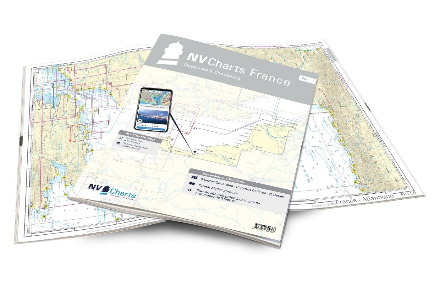
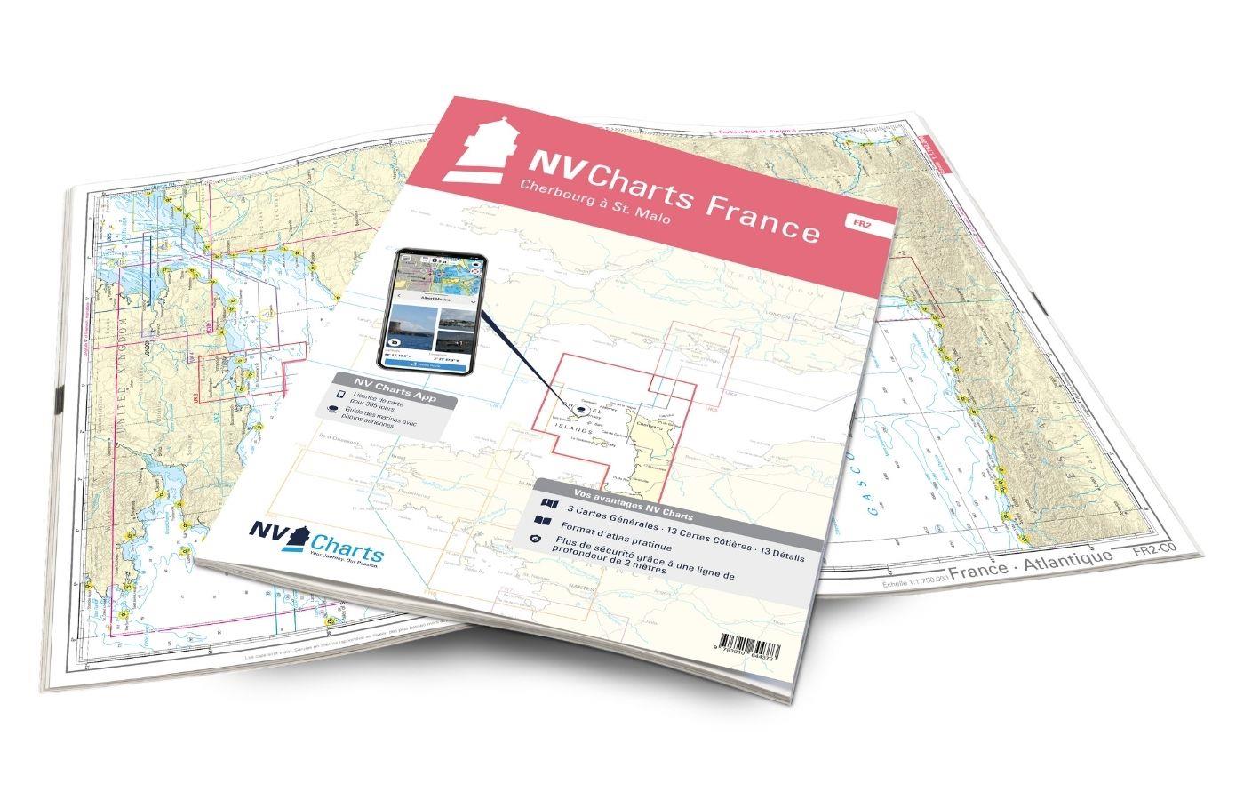
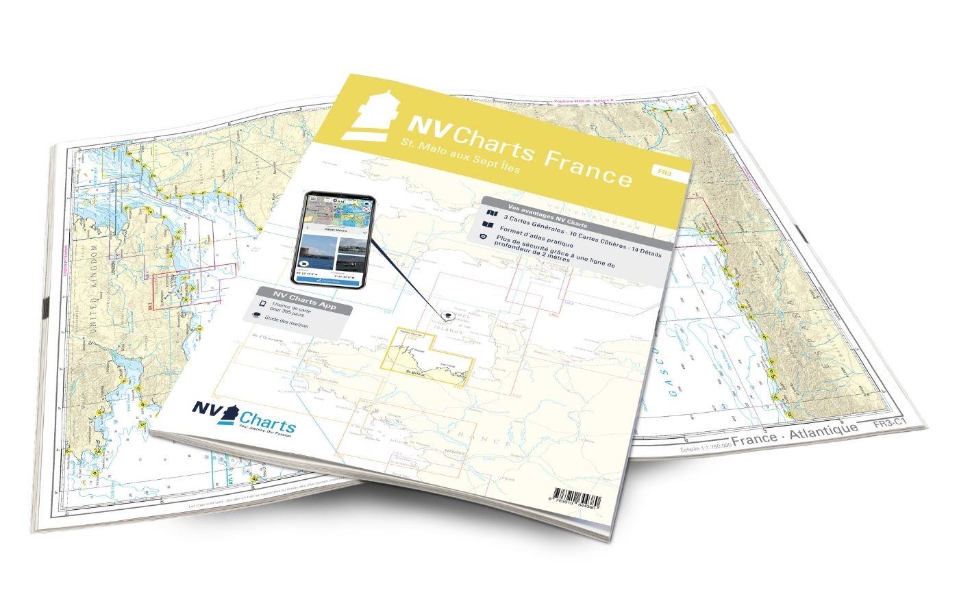
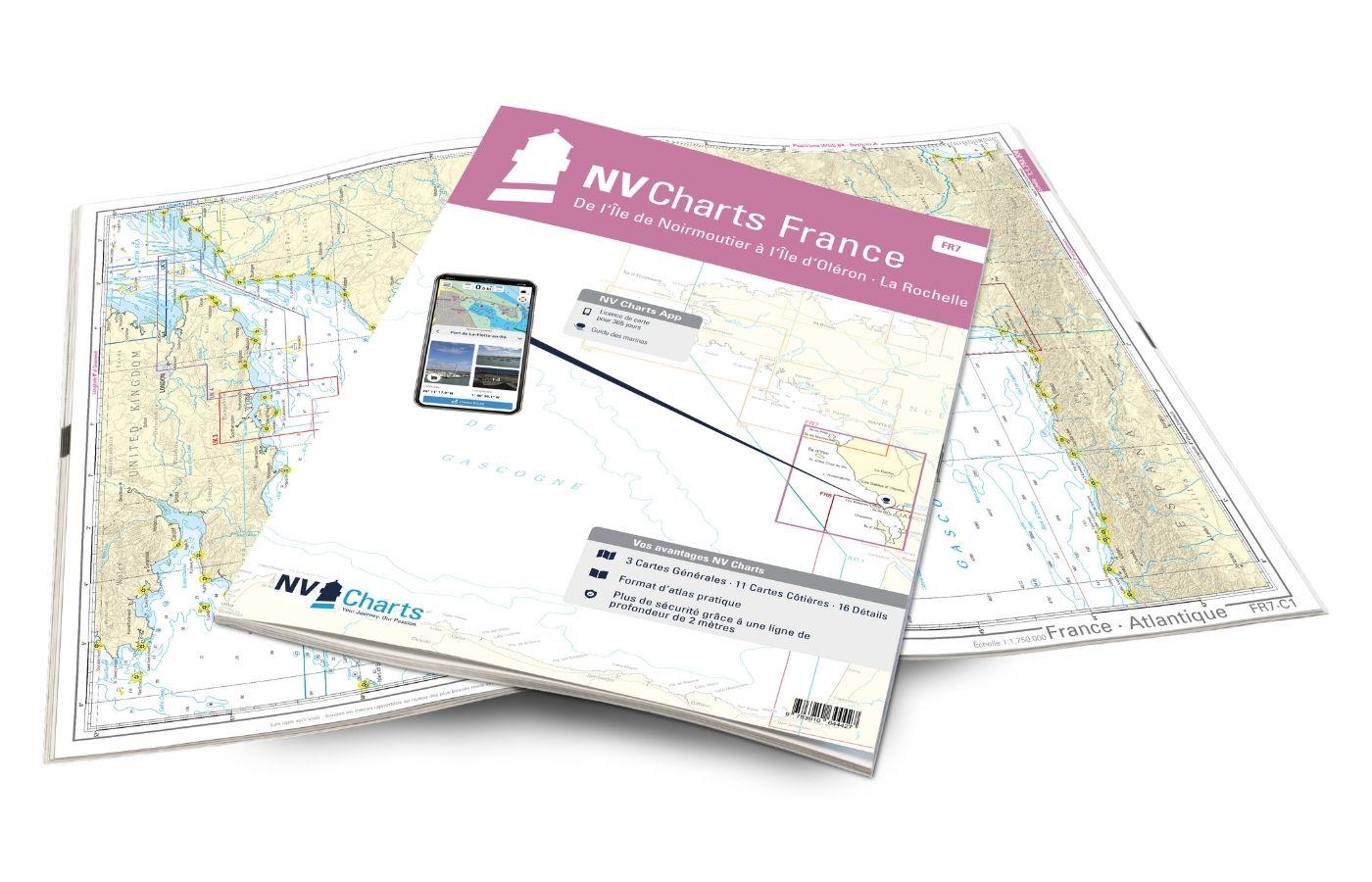
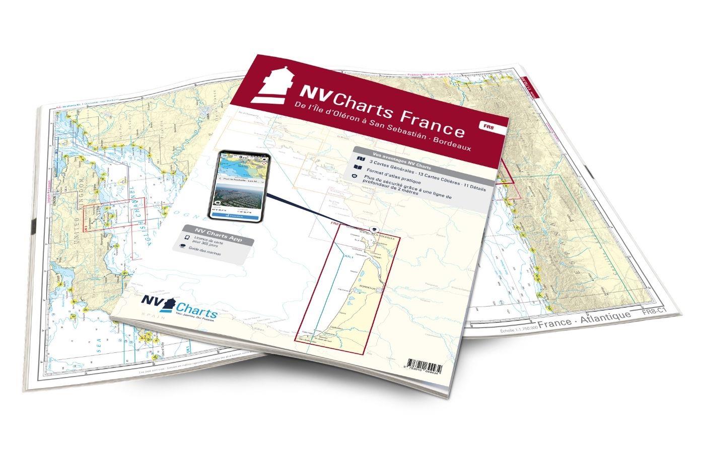
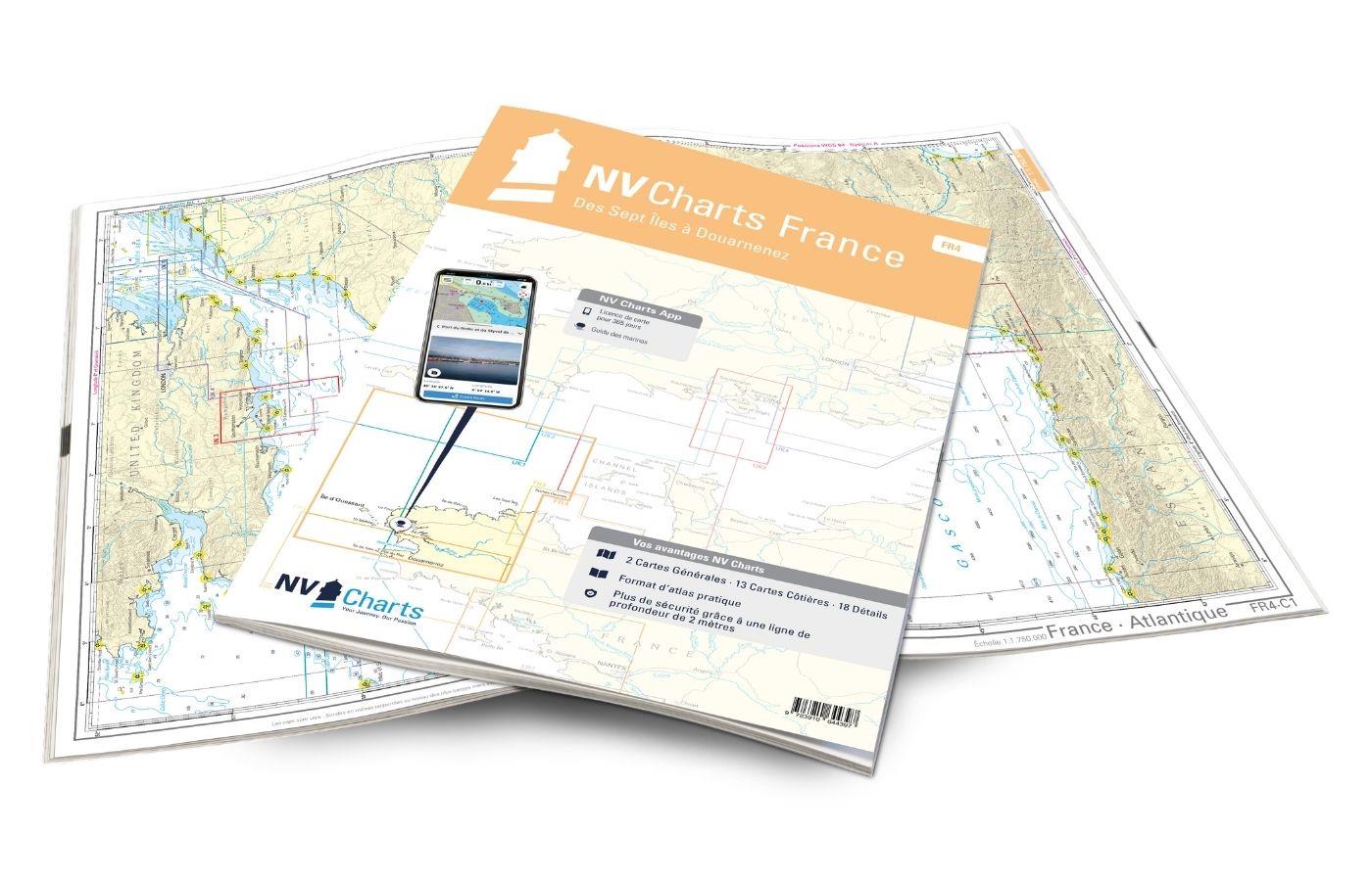
Water sports enthusiasts who want to explore the French canal coast need the chart sets of the NV Atlas FR1. From Cherbourg to St. Malo is the coast lined with beautiful historic towns and also the Channel Islands are not far away (NV Atlas FR2). North Brittany to Sept Îles is covered in the NV Atlas FR3. The region around Brest down to San Sebastian can be found in the NV Atlases FR4 - 8, which also contain the sailing stronghold La Rochelle.
NV Charts has specialized in the production of high-quality nautical charts and first-class navigation software for recreational shipping for decades. The range extends along the coasts of Europe to the Caribbean with an excellent variety of nautical charts in paper and digital form. NV nautical charts offer particularly high-grade cartography with attention to detail, especially outside the main fairway and in natural harbours. Not only is the design unique, the focus is on an easy usability. The nautical charts contain a free access code to the digital nautical charts in the NV Charts app for an ideal addition to the popular NV paper nautical charts

