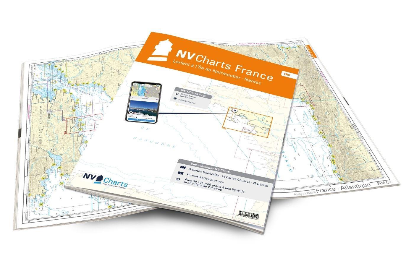
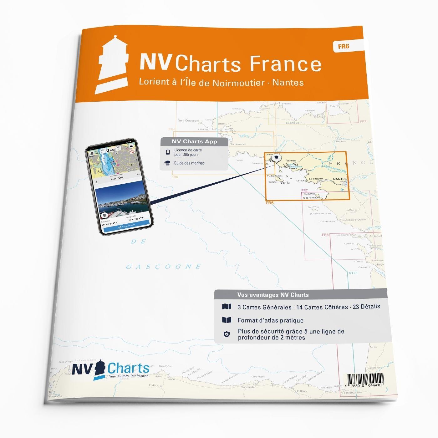
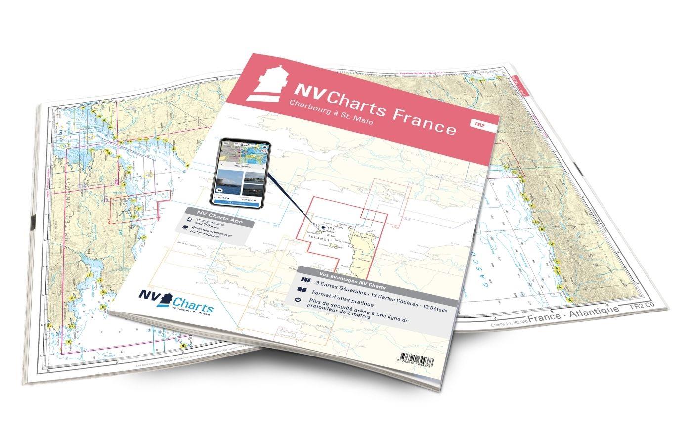
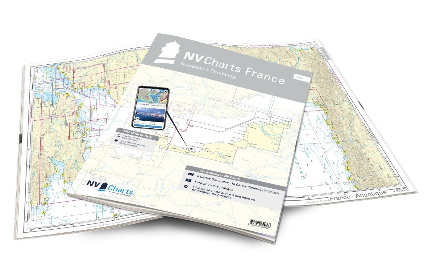
NV Charts France FR6 - Lorient à Île de Noirmoutier - Nantes
Description
With the NV Charts France FR6 off to the Cité de la Voile, the city of sailing! Thanks to the clear layout, the sports skipper can quickly find approaches, harbours and anchorages and is informed of navigationally important details that also appear in the NV Charts app. The chart series impresses with its optimal dimensions and balanced sheet sections.
Regions overview
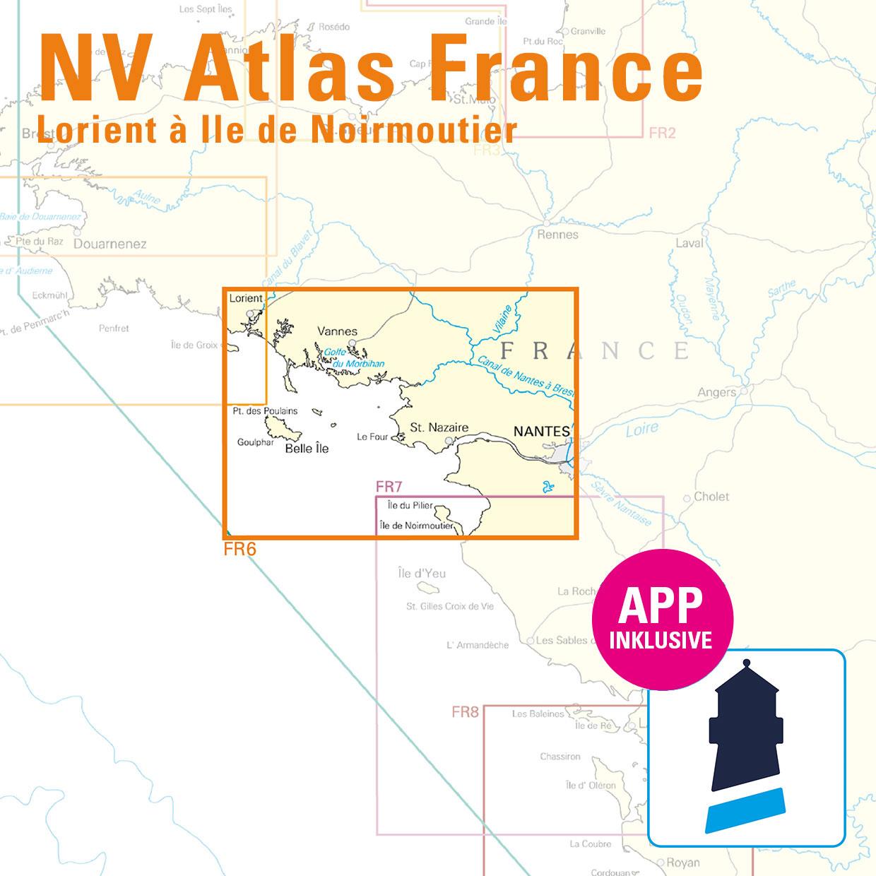
With this atlas, you can either start in Lorient, the city of sailing, or travel there from the south. The Cité de la Voile is definitely worth a visit, if only to see the interactive sailing museum. The city is still home to around 90 international sports sailing teams. If you've had enough of the sailing hustle and bustle, this set of maps will take you directly to the largest island in Brittany, Belle-Ile, located south of Lorient. There you will find a harbour in Le Palais, which consists of three basins. The region around the Golf du Morhiban, an inland waterway, is highly recommended. But beware: at low tide, the tide is actually low there. If you are already in this region, the episcopal city of Vannes is well worth a visit. The Île de Noirmoutier, an important venue for various sailing regattas, is also worth a detour.
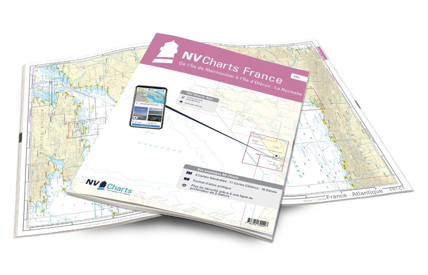
As a supplement, we recommend the NV Charts France FR7 to call at the next sailing Mecca, La Rochelle. If the journey to Brittany is to continue, the NV Charts France FR5 the ideal travelling companion. We will be happy to advise you on a suitable door handle!
This set of nautical charts includes
- 3 sailors
- 13 territory maps
- 20 detailed maps
- Digital charts for navigation programme and NV Charts App 356-day licence
- Navigation instructions in English and French
- Tide tables
- Harbour plans paper & digital
- Fulfils all legal requirements for up-to-date paper charts on board
All advantages at a glance
- NV Atlas chart format: Practical, handy atlas format, opened in A2, closed in A3 format, flat staple binding in the centre - makes it easy to work with the course triangle
- NV Charts app: including access code to the digital nautical charts of the purchased area in the NV Charts app with 365-day licence, for offline navigation with the app on iOS, Android, PC, Mac or in the web browser, comprehensive harbour manual
- Extremely detailed: Nautical charts based on data from official surveys and own surveys, particularly detailed outside the main fairways
- Optimised for recreational boating
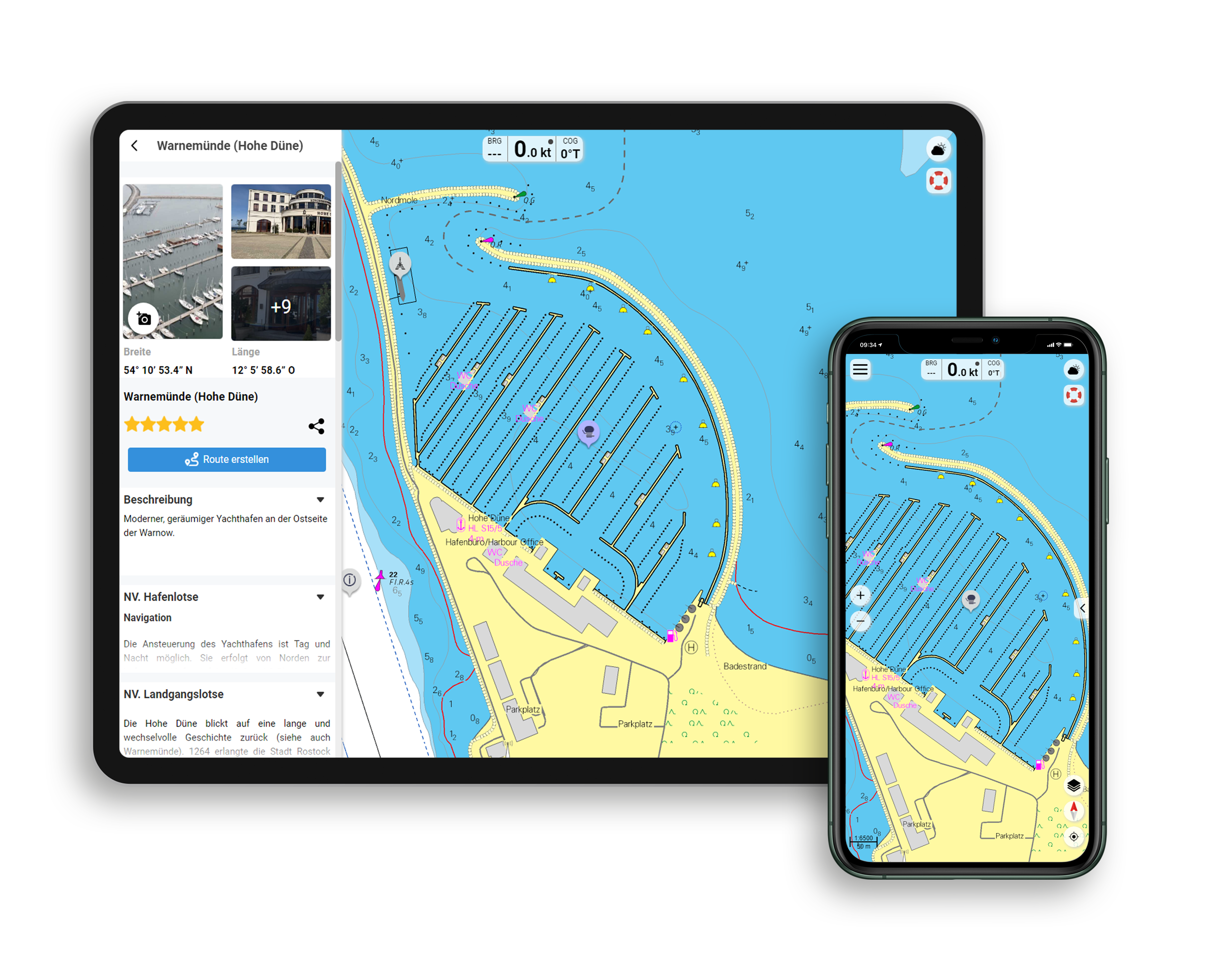
Functions of the NV Charts app
- Flexible autorouting
- Satellite overlay
- Augmented reality
- VMG (Velocity Made Good)
- BoatView harbour guide
- Track recording
- AIS connection and much more.
Charts and measures included
Übersegler
C 1 France - Atlantique 1: 1,750,000 , C 2 Bretagne - Sud 1: 350,000 , C 3 Belle-Ile à La Rochelle 1: 350,000
District maps
C 4 Lorient à Ile d'Hoëdic 1: 150,000 , C 5 Ile d'Hoëdic à l'Île de Noirmoutier 1: 150,000 , C 6 Ile de Groix à Étel 1: 45,000 , C 7 Baie de Quiberon 1: 45,000 , C 8 Belle-Ile 1: 45,000 , C 9 Belle-Ile - Houat - Île d'Hoëdic 1: 45. 000 , C10 Golfe du Morbihan 1: 45.000 , C11 Passage de l'Est - Île d'Hoëdic 1: 45.000 , C12 Embouchure de la Vilaine 1: 45.000 , C13 Piriac-sur-Mer à Chenal du Nord 1: 45.000 , C14 Embouchure de la Loire - St.- Nazaire 1: 45,000 , C15 Ile de Noirmoutier - Nord 1: 45,000 , C16 Baie de Bourgneuf 1: 45,000 , C17 La Loire 1: 45,000
Detailed maps
C18 Passage de la Teignouse 1: 25,000 , C19 Lorient 1: 15,000 , C20 Le Blavet 1: 15,000 , C21 A La Trinité-sur-Mer 1: 15,000 , C21 B Le Palais 1: 7,500 , C21 C Rivière d'Étel 1: 15,000 , C22 Golfe du Morbihan - Ouest 1: 25. 000 , C23 Golfe du Morbihan - Est 1: 25,000 , C24 A Port Navalo 1: 15,000 , C24 B Vannes 1: 15,000 , C25 La Vilaine 1: 25,000 , C26 A Piriac-sur-Mer 1: 15,000 , C26 B Pornic 1: 15,000 , C26 C Port Tudy 1: 7,500 , C26 D St.- Nazaire 1: 15,000 , C26 E Quiberon - Port Haliguen 1: 10,000 , C26 F L'Herbaudière 1: 10,000 , C26 G Quiberon - Port Maria 1: 10,000 , C27 A Le Pouliguen 1: 15,000 , C27 B Noirmoutier-en-Î'lle 1: 15,000 , C27 G Le Croisic 1: 10,000 , C27 D La Turballe 1: 10,000 , C27 E Pornichet 1: 10,000
General Notes p.28 Légende - Legend p.28 Courants de Marée - Tidal Stream Tables p.28
| App License: | NV Charts App |
|---|---|
| Format: | NV Atlas, Gebundener Kartensatz |
With the help of our area preview, you can get an impression of which geographical region the product deals with or which areas a nautical chart covers.
Related products to this item
Reviews
Login

