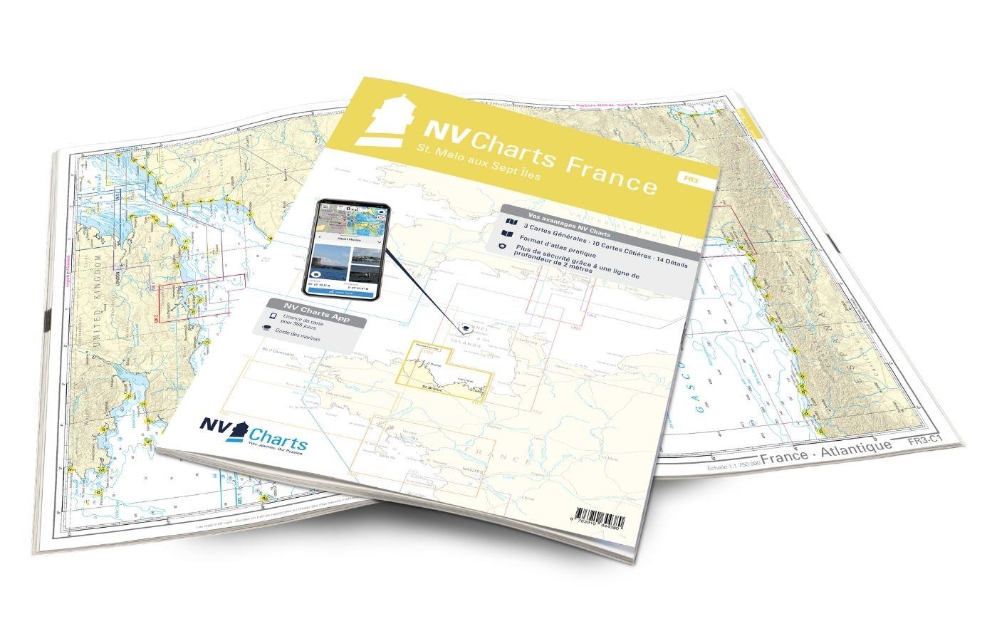
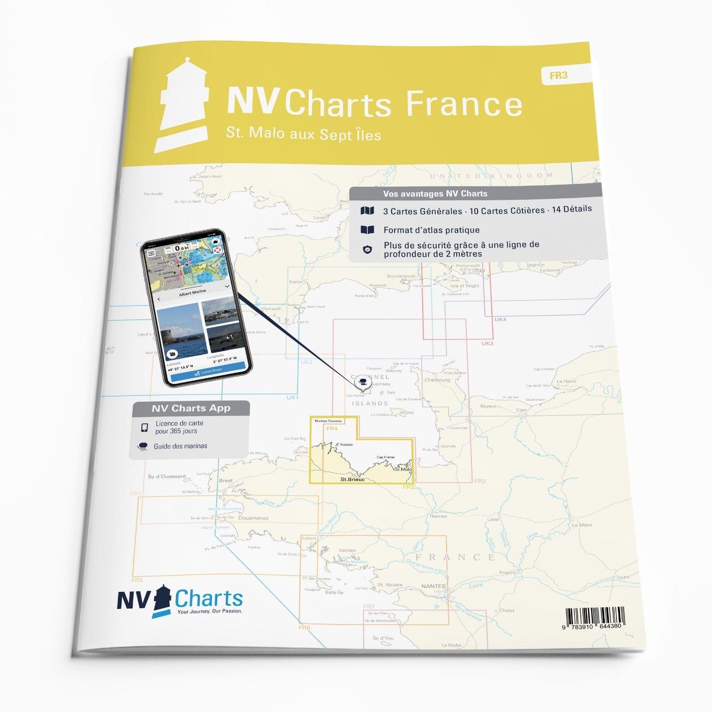
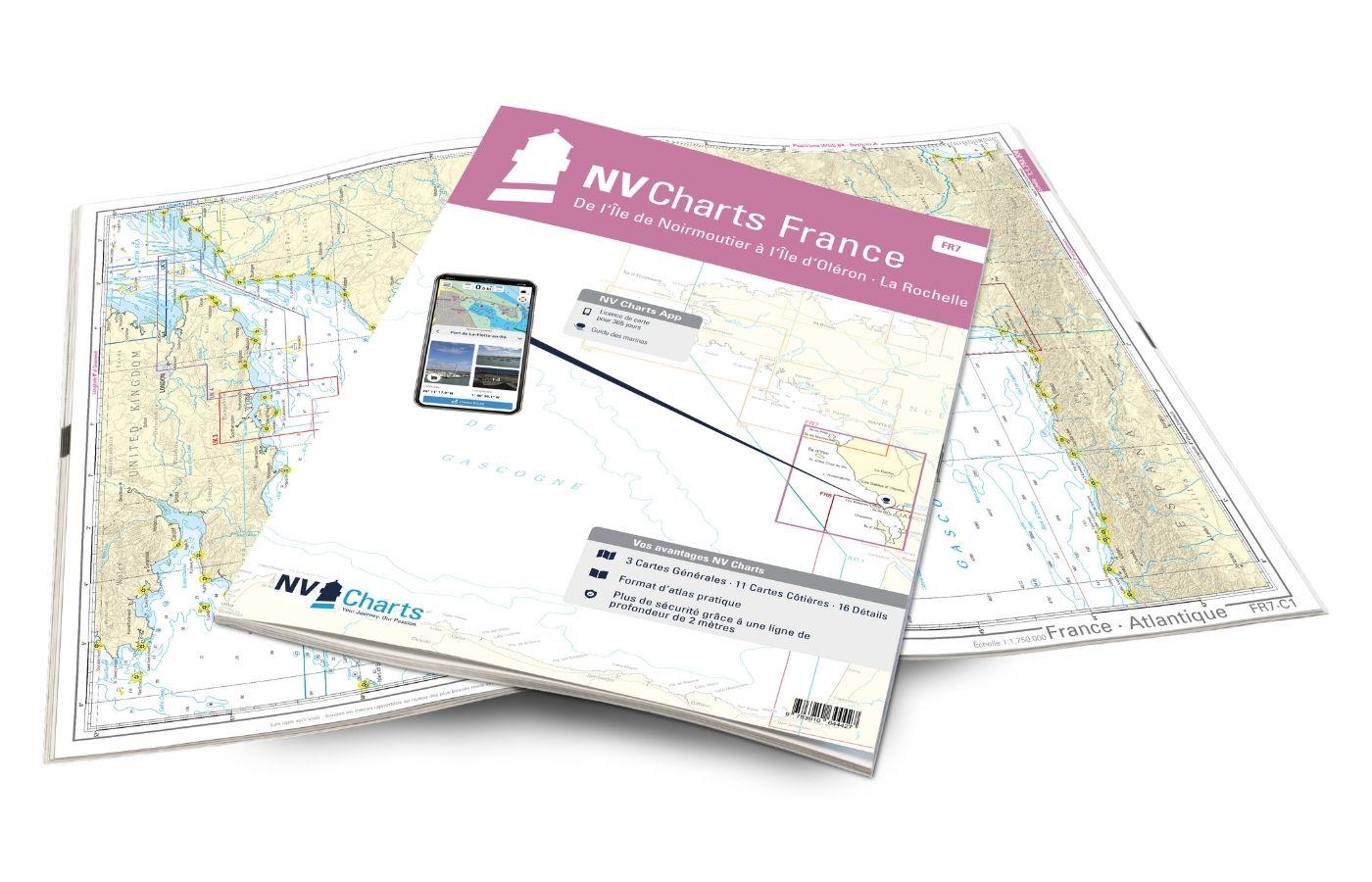
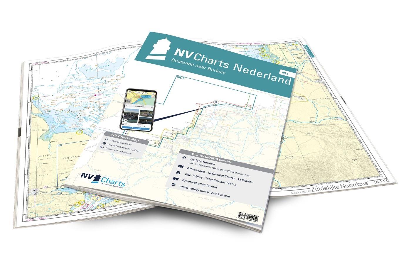
NV Charts France FR3 - St. Malo aux Sept Îles
Description
Would you like to discover the coast of northern Brittany? Then the NV Charts France FR3 Atlas is your partner at sea. Thanks to the clear layout, the recreational skipper can quickly find approaches, ports and anchorages and is informed of navigationally important details that also appear in the NV Charts app. The chart series impresses with its optimal dimensions and balanced sheet sections.
Regions overview
The FR3 offers an attractive starting point with St. Malo in northern Brittany. Otherwise, you should always pay attention to the wind on this charming coast with its beautiful beaches. In addition to the tidal range of almost 14 m, unpleasant currents can cause eddies that should not be underestimated. We recommend the Saint-Quay-Portrieux marina with its 1030 berths. The approach there is independent of the tide and weather (from the southeast and northwest) and is possible both in daylight and at night. You follow the fairway buoyage or the leading light lines. Saint-Quay-Portrieux is located on the Baie de Saint-Brieuc near Plouha, where the highest cliffs in Brittany are 104 meters high.
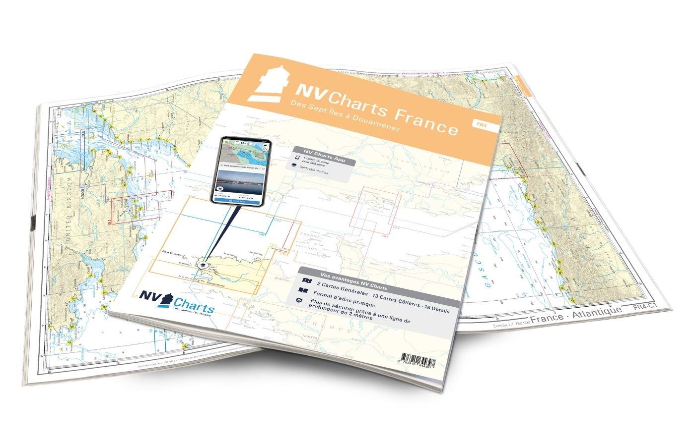
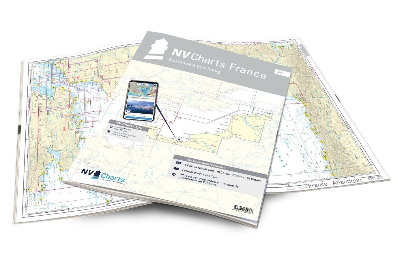
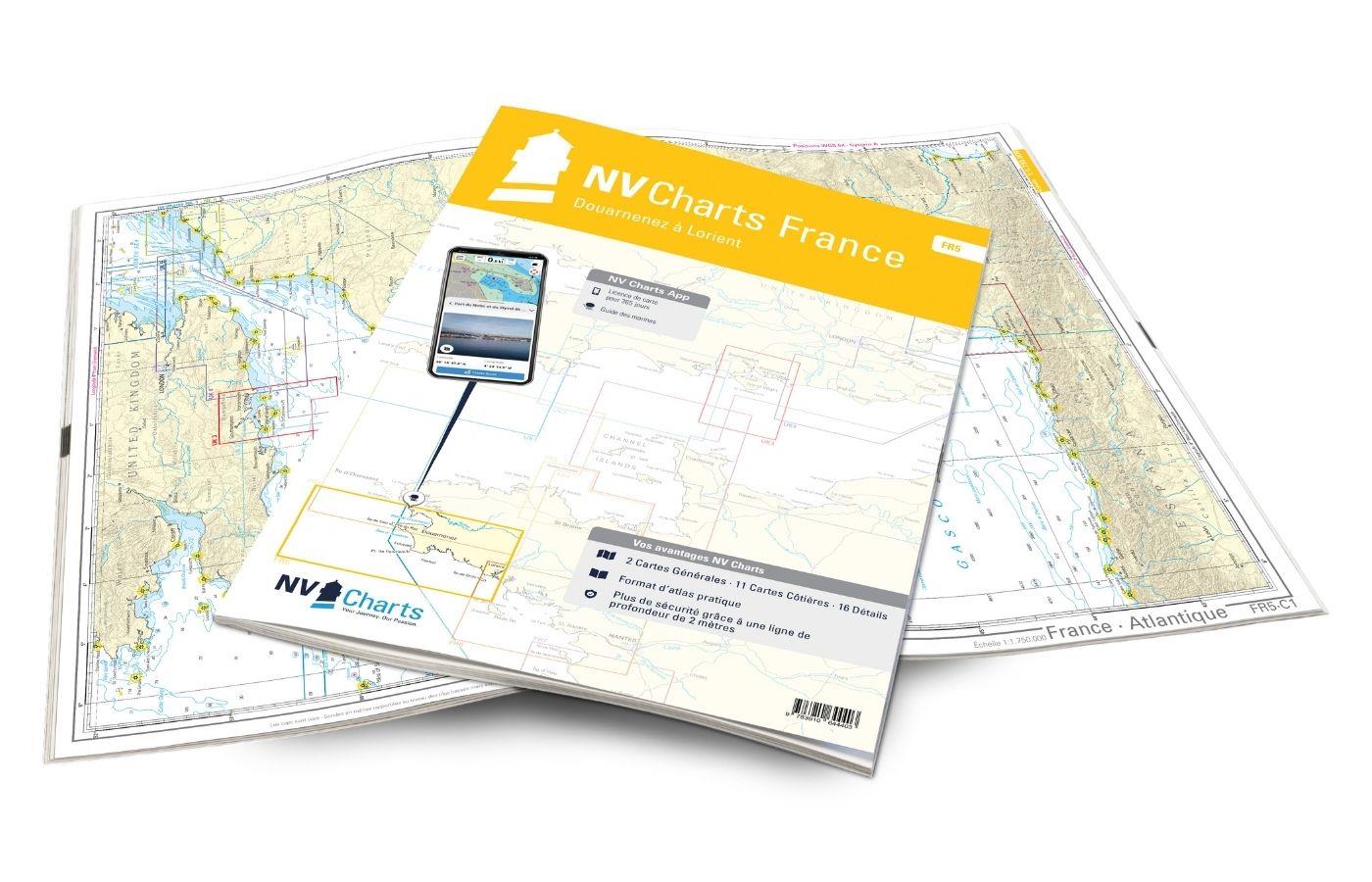
As a further recommendation for this set of maps, we recommend the NV Charts France FR4 to continue conquering the rugged but beautiful Brittany. On the other side, in the direction of Normandy, the FR2 is the right travel companion. We also have excellent door guides to accompany you on your journey through Brittany.
This set of maps includes
- 3 sailors
- 10 territory cards
- 14 detailed maps
- Digital charts for navigation program and NV Charts App 356-day license
- Navigation instructions in English and French
- Tide tables
- Port plans paper & digital
- Meets all legal requirements for up-to-date paper charts on board
All advantages at a glance
- NV Atlas chart format: Practical, handy atlas format, opened in A2, closed in A3 format, flat staple binding in the middle - makes it easy to work with the course triangle
- NV Charts app: including access code to the digital nautical charts of the purchased area in the NV Charts app with 365-day license, for offline navigation with the app on iOS, Android, PC, Mac or in the web browser, comprehensive port manual
- Extremely detailed: Nautical charts based on data from official surveys and own surveys, particularly detailed outside the main fairways
- Optimized for recreational boating
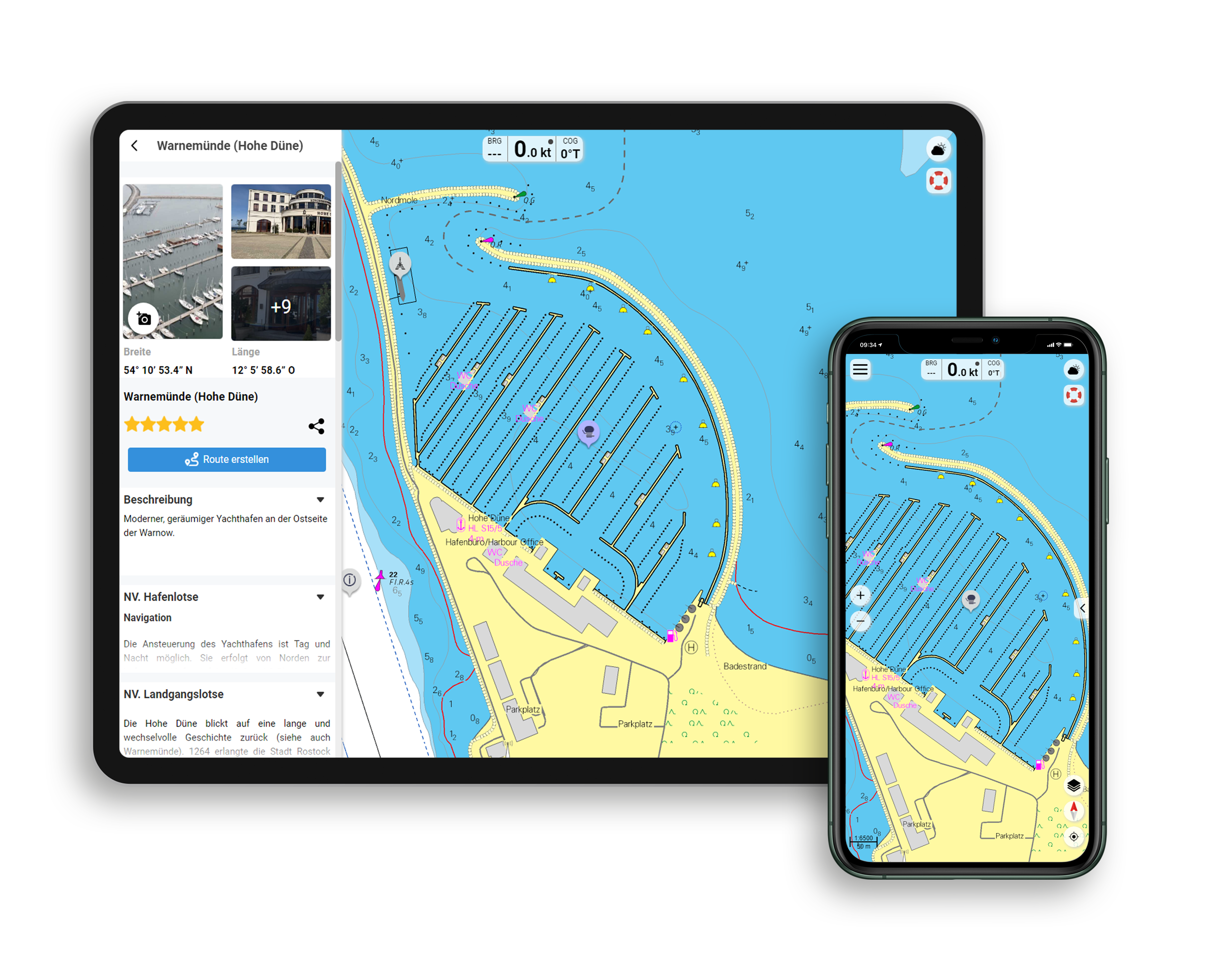
Functions of the NV Charts app
- Flexible autorouting
- Satellite overlay
- Augmented reality
- VMG (Velocity Made Good)
- BoatView harbor guide
- Track recording
- AIS connection and much more.
Charts and measures included
Sailors
C1 France - Atlantique 1: 1,750,000 , C2 Bretagne - Ouest 1: 350,000 , C3 Normandy - Ouest 1: 350,000
District maps
C4 Les Sept Iles à St.Quay-Portrieux 1: 150.000 , C5 Grand Léjon au Cap Fréhel - Jersey 1: 150.000 , C6 Cap Fréhel à Jersey 1: 150.000 , C7 Ile Grande à l'Ile Tomé 1: 45.000 , C8 Ile Tomé aux Héaux-de-Bréhat 1: 45. 000 , C9 Les Héaux-de-Bréhat à L'Ost Pic 1: 45,000 , C10 L'Ost Pic à la Pte. de Pordic 1: 45,000 , C11 Pte. de Pordic au Cap d'Erquy 1: 45,000 , C12 Cap d'Erquy à St. Cast 1: 45,000 , C13 St. Cast à la Pte. du Meinga - St. Malo 1: 45,000
Detailed maps
C14A Paimpol 1: 10,000 , C14B Lézardrieux 1: 10,000 , C14C Anse de Perros 1: 20,000 , C14D Ploumanac'h 1: 10,000 , C15 Le Jaudy -Tréguier 1: 20,000 , C16 Ile de Bréhat 1: 20. 000 , C17A Portrieux 1: 25,000 , C17B Binic 1: 10,000 , C17C St. Brieuc 1: 10,000 , C18A Dahouët 1: 10,000 , C18B Erquy 1: 10,000 , C19 St.Cast le Guildo à St.Briac sur Mer 1: 20,000 , C20 St. Malo 1: 20,000 , C21 La Rance 1: 20,000
General Notes p.22 Légende - Legend p.22 Tidel Stream Tables - Distances p.22
| App License: | NV Charts App |
|---|---|
| Format: | NV Atlas, Gebundener Kartensatz |
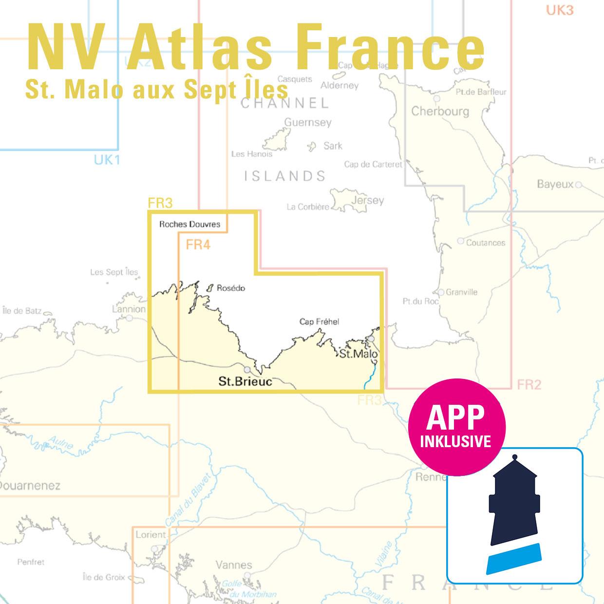
With the help of our area preview, you can get an impression of which geographical region the product deals with or which areas a nautical chart covers.
Related products to this item
Reviews
Login

