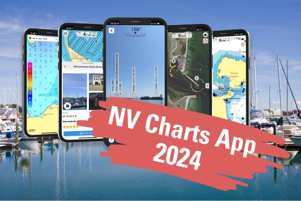
NV Charts App - More than navigation
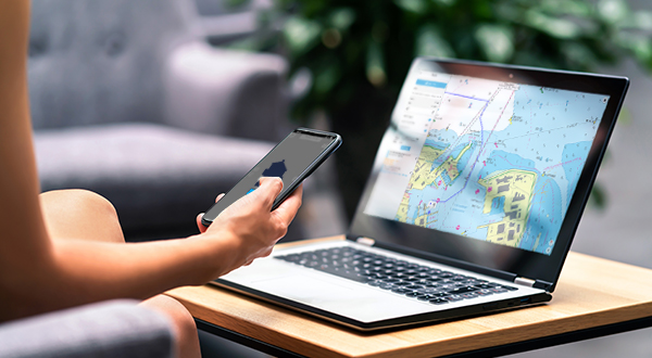
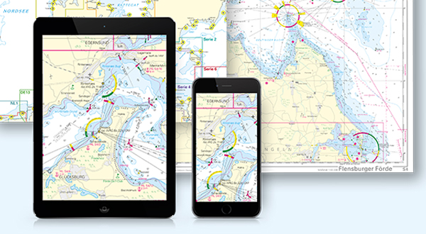
The NV Charts App is the digital counterpart to the NV Charts paper charts, but enriched with many useful functions around navigation, safety, voyage planning, exchange with others and time on the water - from leisure cruises to regattas.
App highlights at a glance
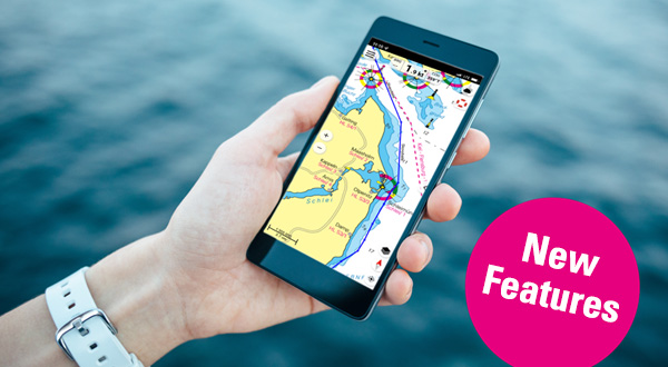
Navigate intuitively and access a wide range of functions and content. Stepless zooming and synchronisation between your devices supports you in your adventure on the water.
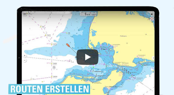
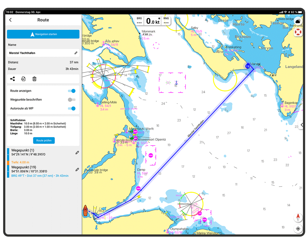
Flexible autorouting - now Europe-wide
Route planning made easy: NV Charts is the first app to offer you the possibility to manually route individual segments. And now also Europe-wide! Focus on clarity: Places that cannot be passed by your boat are clearly visualised.
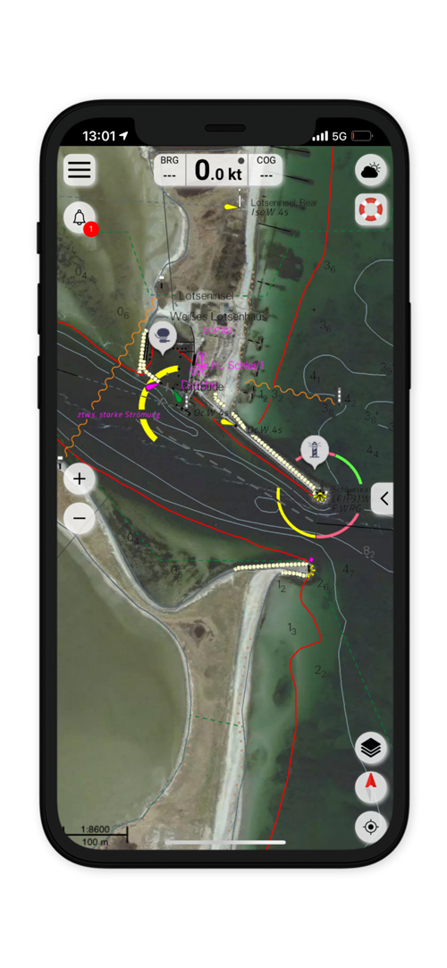
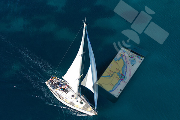
Satellite overlay for even more insights
With Satellite Overlay, you can explore even the most remote regions from the air and gain an even more detailed impression of your anchorage. With vector maps in the North Sea and Western Baltic Sea, the contours are even merged directly with the image data.
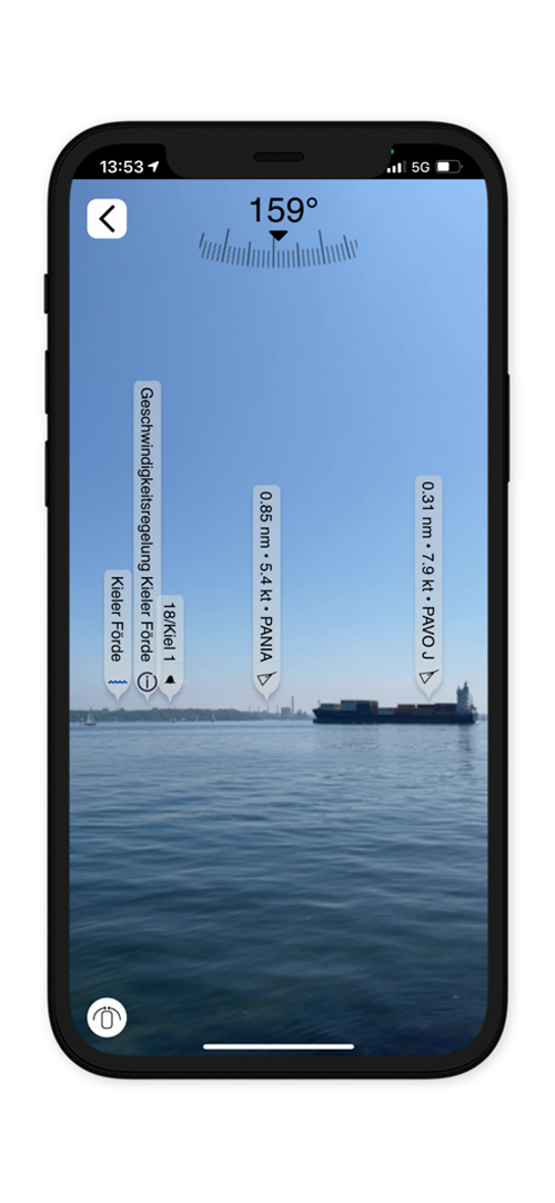
Augmented Reality - Orientation with the camera image
Orientation is essential to navigate safely on the water. The NV Charts app offers the possibility to use the camera of the mobile device to project data from the surroundings directly and in real time into the camera image. Ports, anchorages and navigation warnings in the digital nautical chart as well as points of interest (POI) and AIS signals can be displayed in the augmented reality view (AR view).
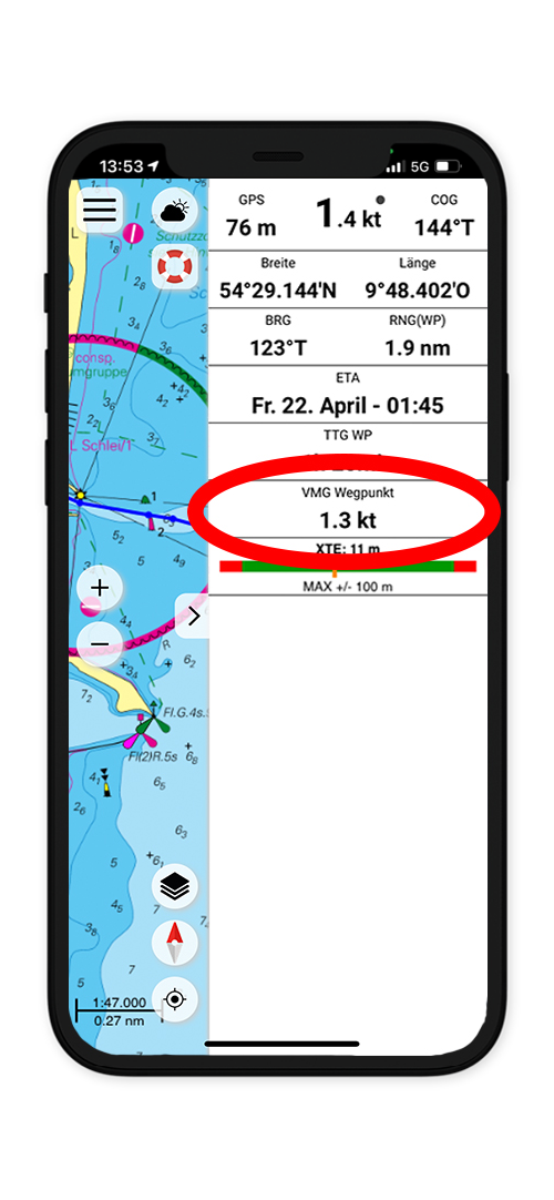
Velocity Made Good - exciting innovation for sailors
In expert mode, the latest version of the app now also shows you the VMG. It calculates the speed at which the next waypoint in wind direction along the planned route can be reached. An exciting feature not only for regatta sailors!
AIS
The environment on the water always in view.
Current & Wind
Real-time forecast as overlay on the map.
Tides
Calculation and display of the current tides in the app.
Search
Easy search for navigation notices and marinas.
Trip planning in the twinkling of an eye
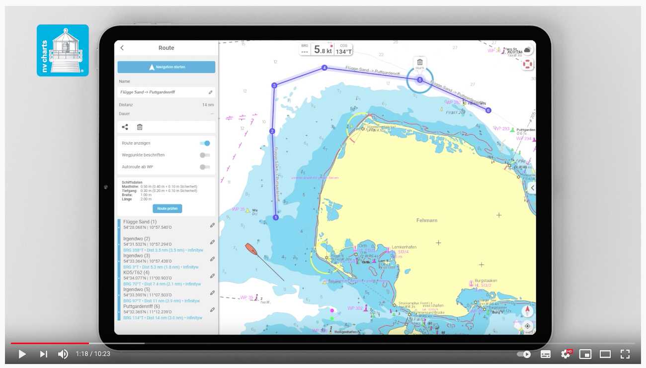
Creating routes and waypoints is now child's play! Adjust your plans for the day on the water to the conditions at any time and share them with your friends. As the first app ever, the NV Charts app offers the possibility to manually edit individual segments of your auto-route. This makes trip planning even more flexible and if your plans change spontaneously, you don't have to recalculate the entire route. Now also with continuously updated auto routing networks.
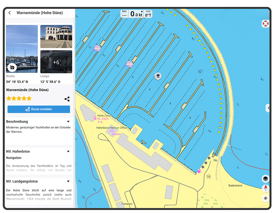
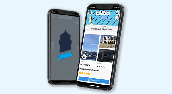
BoatView - Your harbour guide
Great features for voyage planning directly in the NV Charts app. Share your experiences with others and make your time on the water the best of the year - even before you get on the water. With the BoatView harbour guide, you can navigate to new favourite places, enter exciting POIs yourself and discover many new things along your route. By means of the augmented reality view, which you make possible with the help of your mobile phone camera, the whole thing is projected directly into your app view in real time. It's worth trying out!
Your way to get your digital licence - buy digital nautical charts for the NV Charts App
Get your digital licence with the purchase of a NV Charts paper chart in a combo pack or choose the digital licence directly in the app.
Combo pack: paper & digital
.jpg)
- Order a NV Charts paper nautical chart here in the shop and receive the matching digital nautical chart as a licence.
- The sea chart comes with the activation code of the digital licence for the app.
- After activation - within the year of purchase, you can use the nautical chart in the app for 365 days.
- After that, you can decide to extend the digital nautical chart licence and purchase and update it directly in the app.
- If you do not wish to update, you will be prompted in the app to delete the old map so that you can continue to use your app with the remaining digital maps.
Your digital app licence subscription
- New digital nautical charts without the purchase combination with the paper nautical chart can also be purchased directly in the app as a subscription.
- During the licence period, you will receive all updates to your charts and can back them up on your devices for offline use without an internet connection.
- This digital subscription is automatically renewed after one year. So, you are always up to date.
App news and blog posts
Current information about updates and new functions.
All articles
NV Charts App News
Tutorials
Learn how to use important functions in the app.
Create auto routes
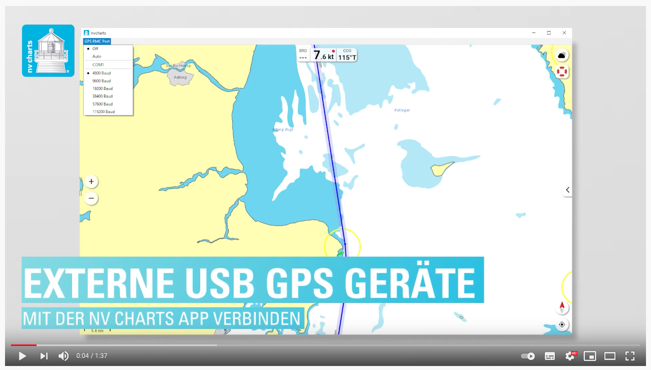
Connect external USB devices
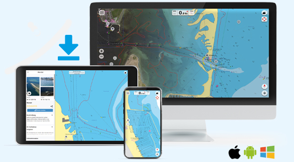
Download the NV Charts app and use the web app
The clearly structured navigation app with intuitive operation and extensive tools can be used on mobile phones, tablets, iPads or PCs and Mac.
Please note the system requirements of the app: IOS version 14, Android version 7.0+, Windows 11, 10, 8, Mac OSX 10.13 10.14 10.15, 11, 12 (current version) and at least 6 GB RAM.
Using the Web-App: The NV Charts web app is the online version of the NV Charts app and offers you access to your nautical charts, trip planning and port information on your computer without direct use from the app.
With your login data for app use on your mobile phone or tablet, you can also simply log in to the web app and thus use the functions of the app directly online without further installation.
