Netherlands
Netherlands
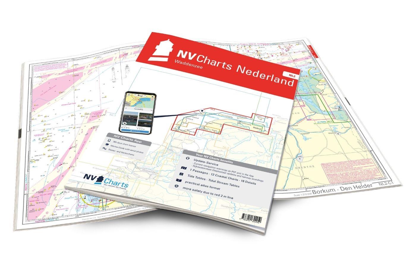
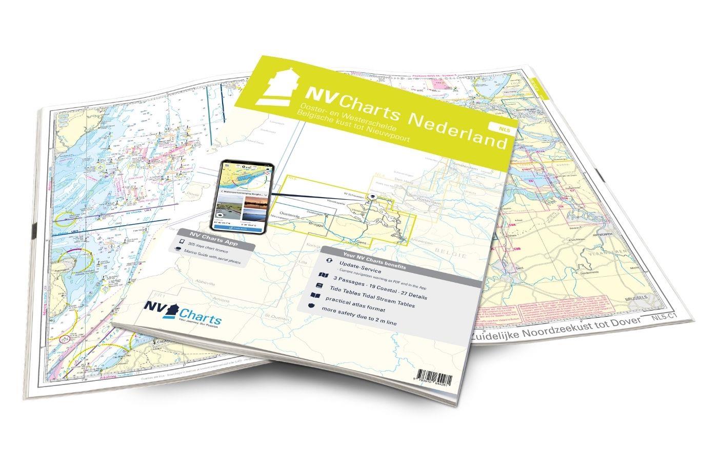
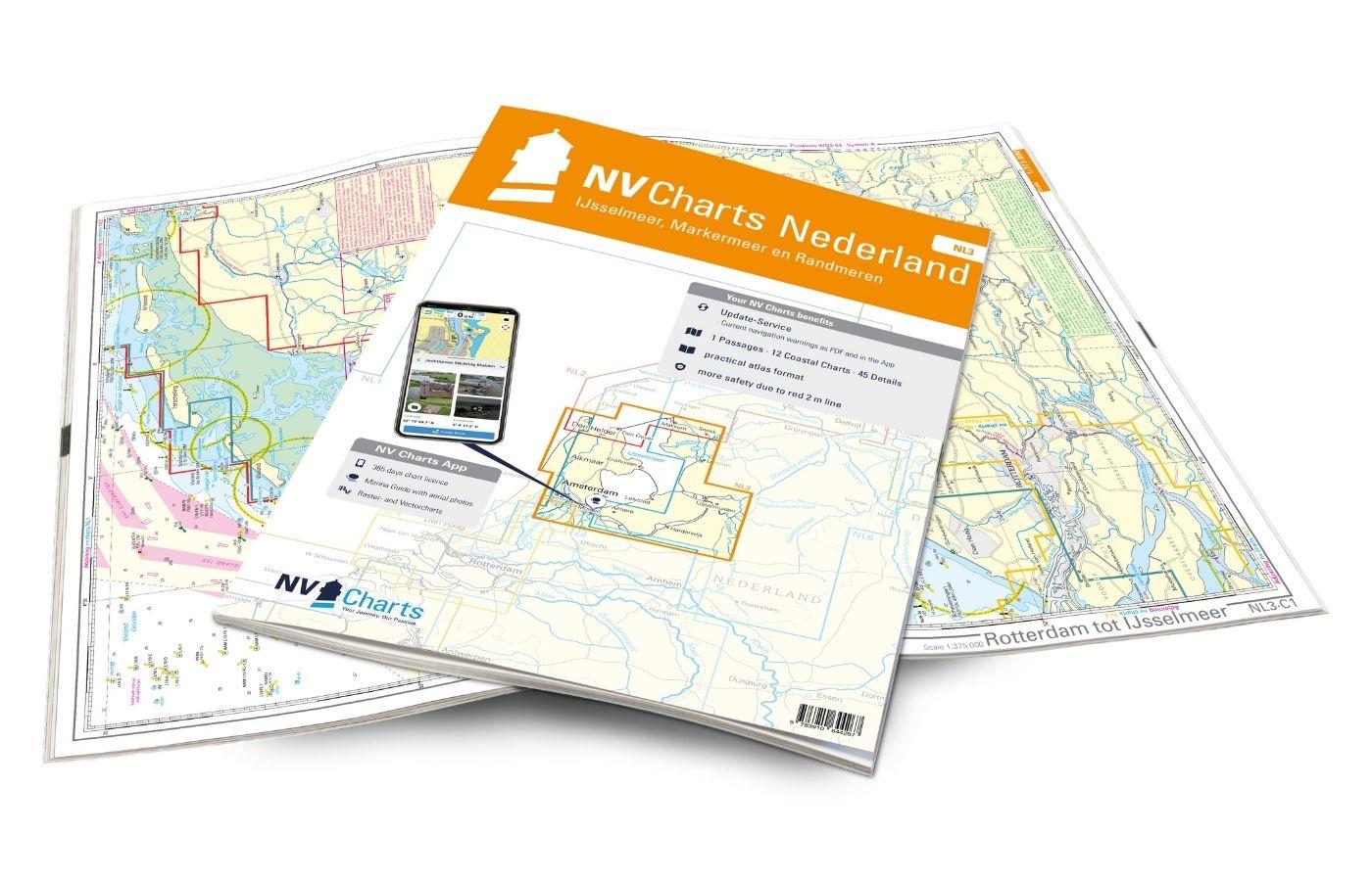
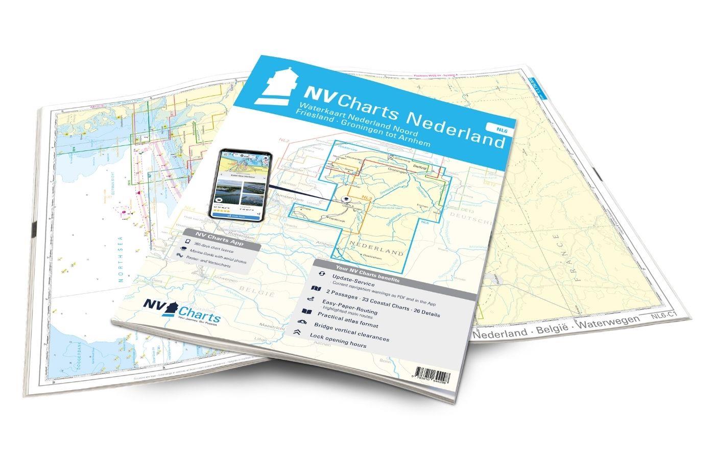
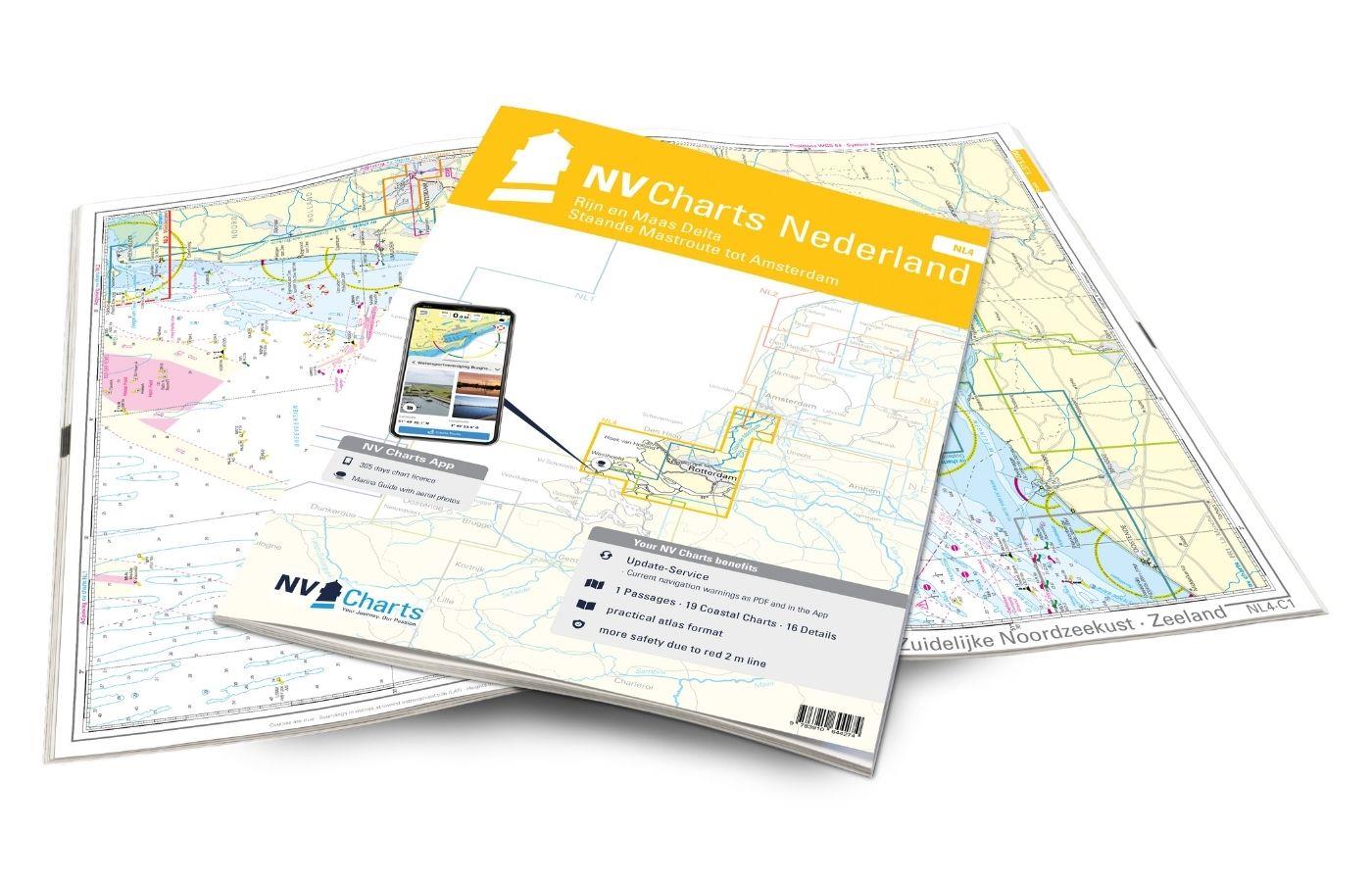
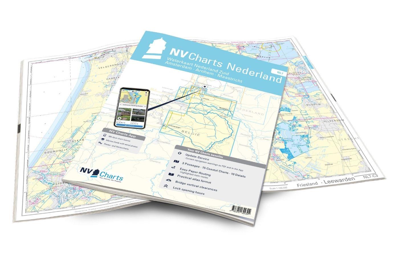
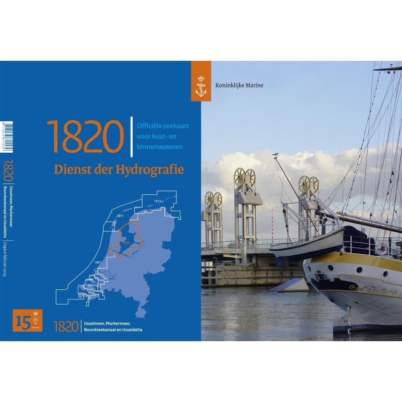
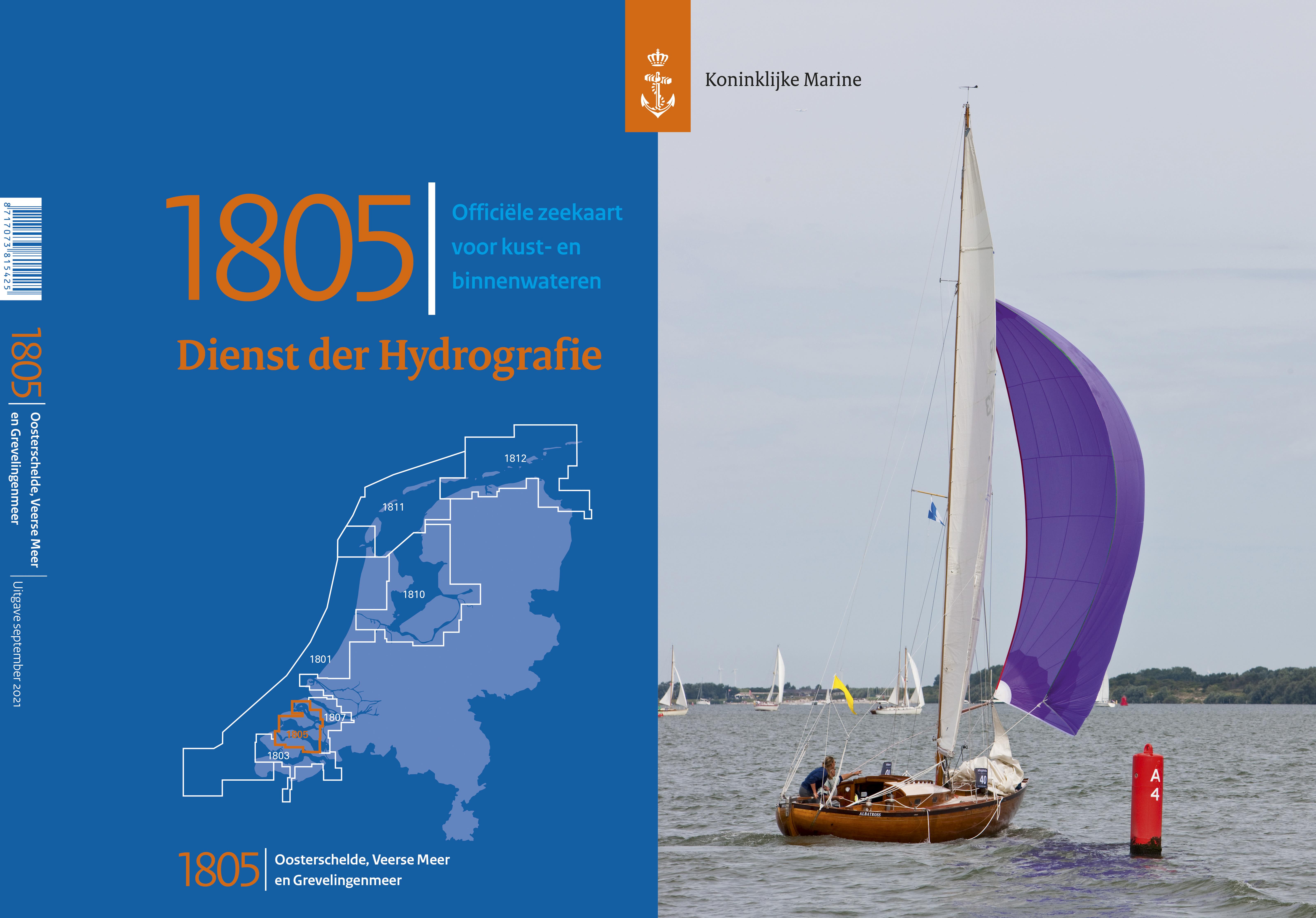
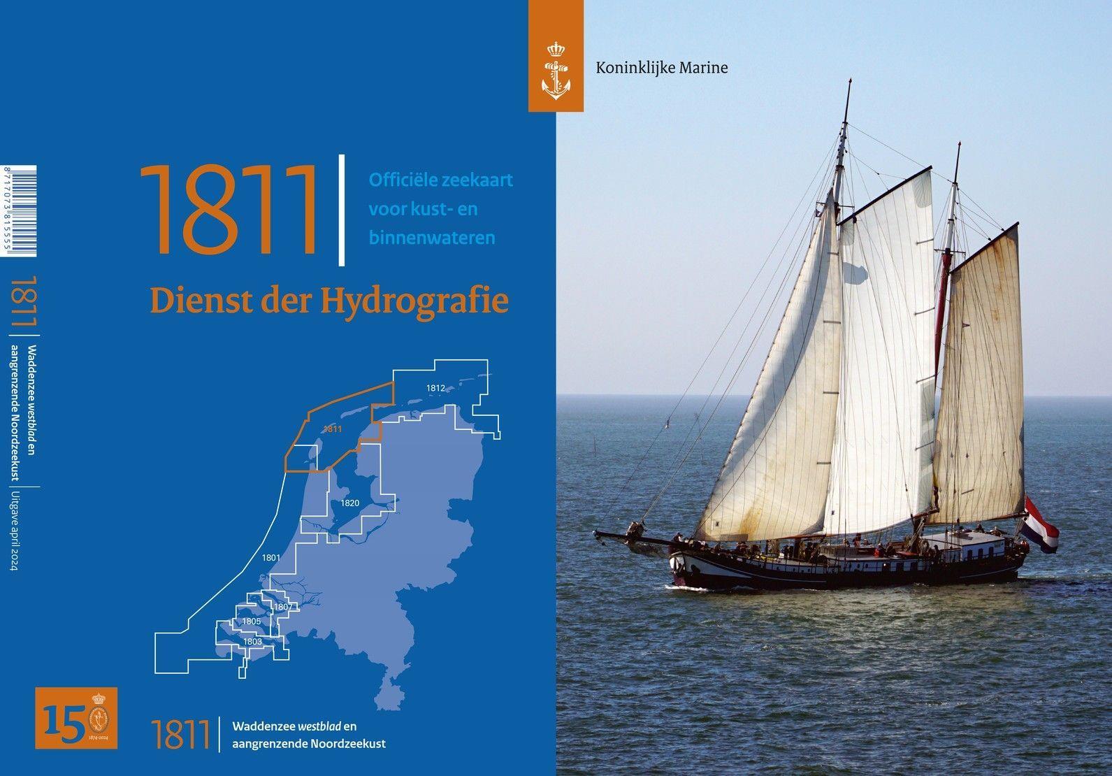
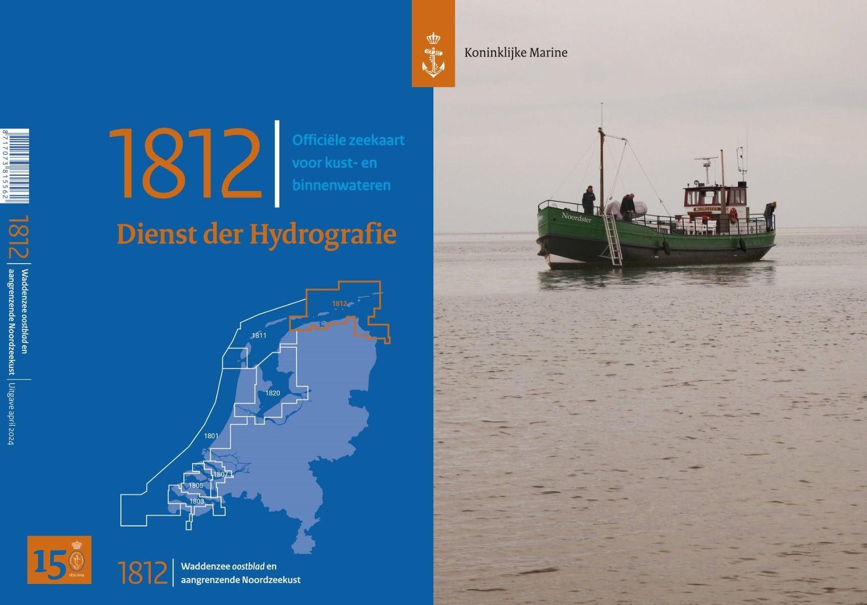
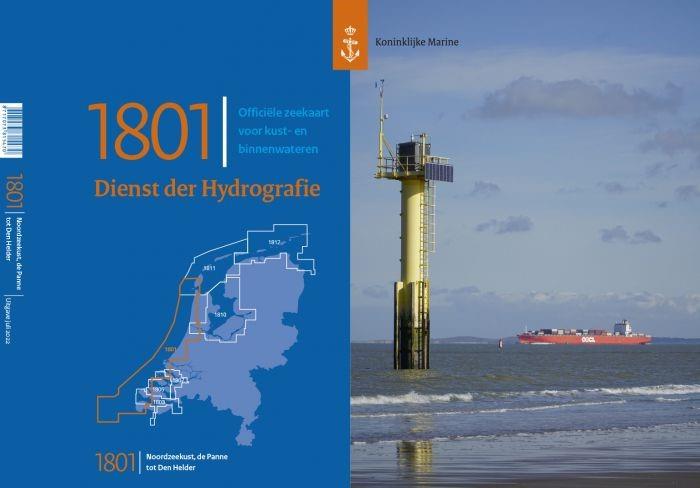
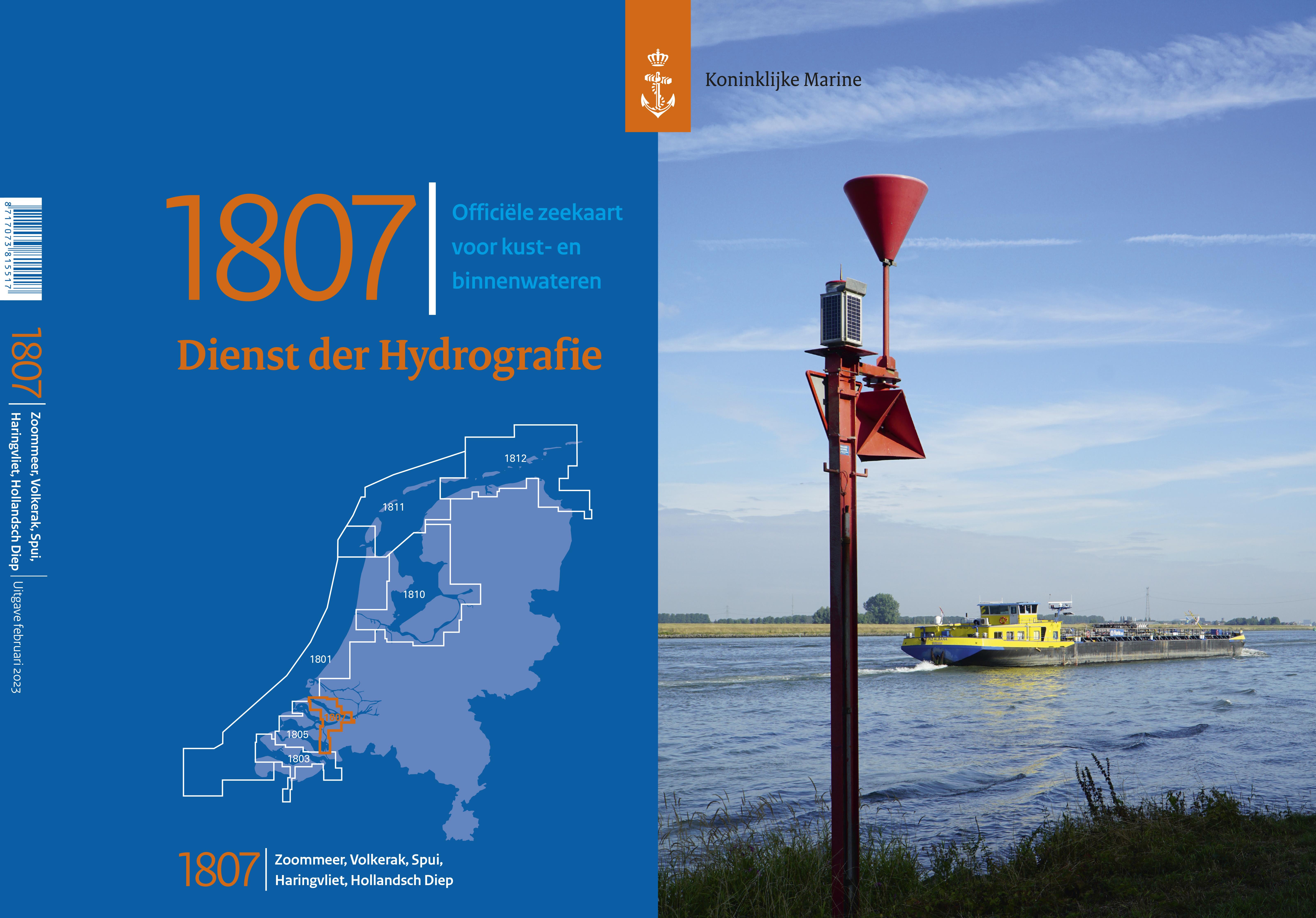
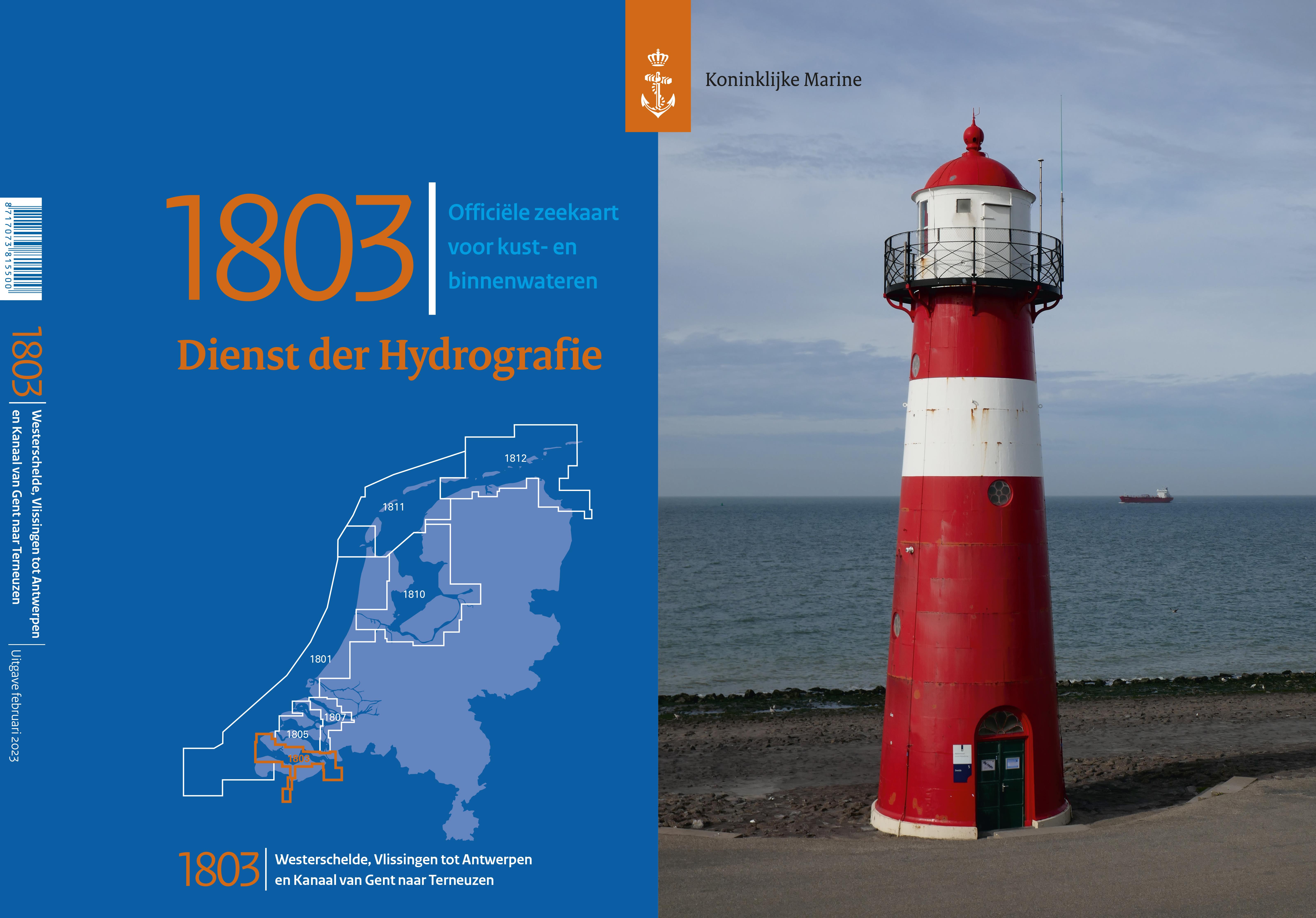
The waters of the Netherlands are a very diverse and popular sailing area with breathtaking nature, a landscape crisscrossed by canals and unique islands in the Wadden Sea. NV Netherlands nautical charts are your reliable navigation partner on your travels - our charts are characterized by quality and detail. The NV nautical charts for the Netherlands cover the North Sea coast including the West Frisian islands and inland waters from the IJsselmeer to Waddenzee as well as the canals to Maastricht and the Ooster- and Westerschelde delta areas.
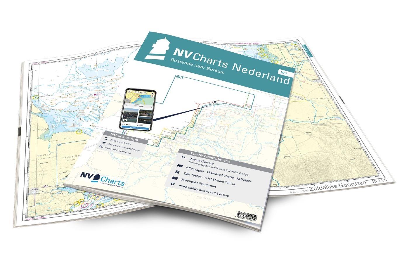
The NV Atlas NL3, which also covers Randmeeren, is ideal for sailing in the IJsselmeer. For the tour between Amsterdam and Rotterdam with their charming canals you will find the right nautical charts in the NV Atlas NL4. If you want to explore the West Frisian Islands to Borkum, you will find the right set of charts in the NV Atlas NL1.

