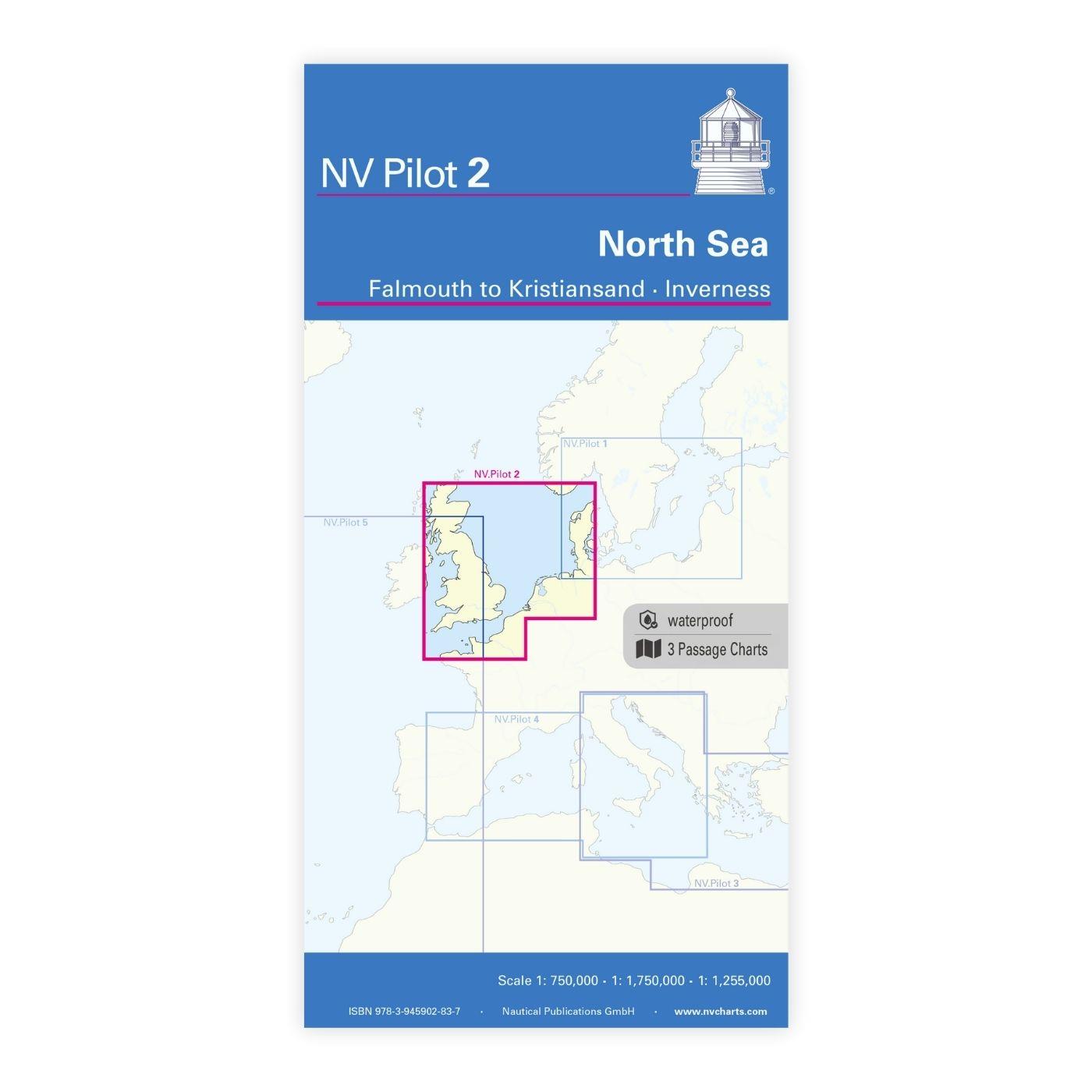
NV Charts Pilot 2, North Sea - Falmouth to Kristiansand - Inverness

Edition: 2023
Edition Date: 29.05.2023
Scale: 1:750.000

€24.99*


Product number: 2320

Description

NV Charts Pilot 2, North Sea - Falmouth to Kristiansand - Inverness

The Pilot 2 from NV Charts is the planning chart that is needed for the North Sea. The west coast of Denmark, the German North Sea and the coast of the Netherlands are covered in this oversailor. The area around the English Channel and the east coast of Great Britain can also be found here.

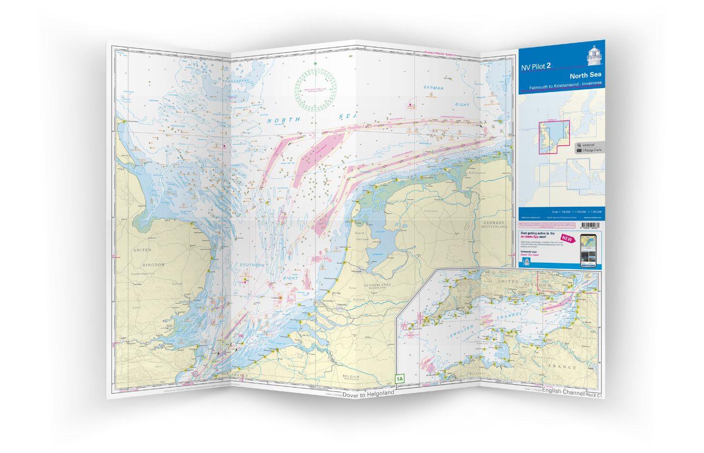
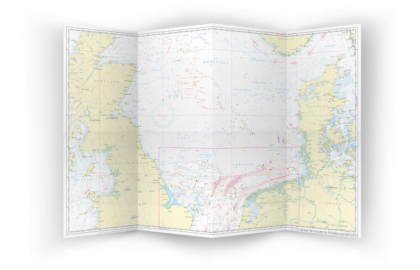
This folding chart consists of three overview charts:

Chart 1, scale 1: 750,000> the southwestern North Sea and German Bight from Dover to Helgoland and Doggerbank in the north

Chart 2, scale 1: 750,000> English Channel from Falmouth / Ushant to Dover in scale

Chart 3, scale: 1: 1,255,000> North Sea from Great Yarmouth to Skagen, Inverness and the south coast of Norway.

The beacons, oil drilling platforms, traffic separation areas and wind farms that are important for planning the passage are shown on all three charts. The terms are in English. The chart is in A1 format, folded approx. 15 x 30 cm.

Our recommendation:

For Denmark, Germany, France, Great Britain and the Netherlands we offer detailed atlases in paper and digital. We would be happy to advise you on planning your trip!

Format: Plano & Einzelkarten
Region: Dänemark, Grossbritannien, Nordsee, Niederlande
Area preview

With the help of our area preview, you can get an impression of which geographical region the product deals with or which areas a nautical chart covers.

Related products to this item

Related products to this item

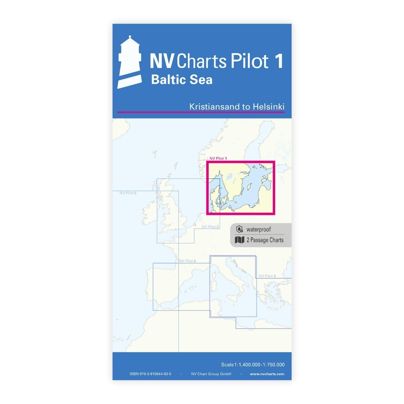
NV Pilot 1, planning chart Baltic Sea - Kristiansand to Helsinki
NV Pilot 1, planning chart Baltic Sea - Kristiansand to HelsinkiThe Pilot 1 from NV Charts is an indispensable planning chart if you want to prepare for a Baltic Sea cruise. This chart for this popula

€24.99*
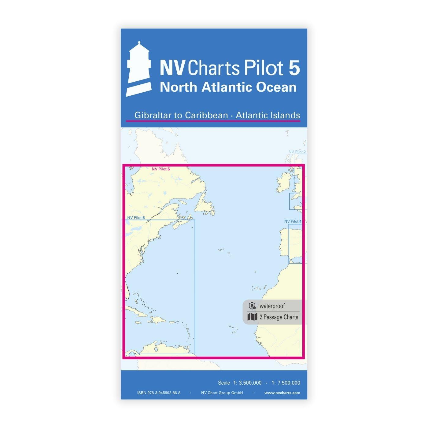
NV Charts Pilot 5 North Atlantic Ocean - Gibraltar to Caribbean, Atlantic Islands
The NV Charts Pilot 5 is a folding chart that you absolutely need for planning a transatlantic passage. The west coast of Spain, Portugal, Morocco and the Canary Islands are covered in this oversailer

€24.99*
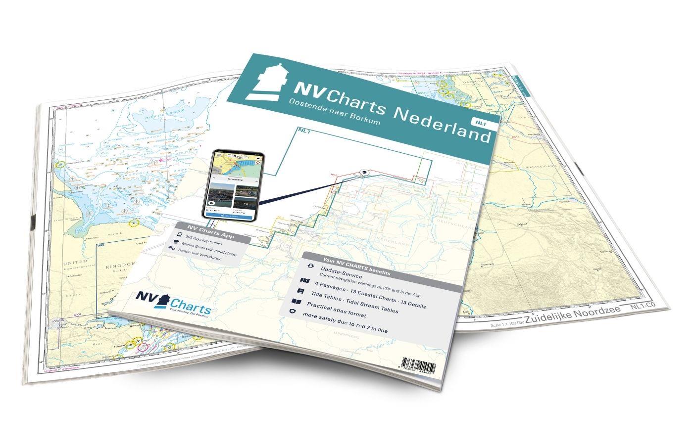
NV Charts Nederland NL1 - Borkum naar Oostende
The NV Charts Nederland NL1 Oostende naar Borkum  is a chart series specially designed for recreational boating and contains the nautical charts in various sizes, as well as all harbour plans and

Variants from €51.99*
€64.99*
NV Charts Denmark Serie 9 - Hirtshals to Esbjerg & Limfjord
The Danish west coast and the Limfjord are among the most popular holiday regions in the Scandinavian country. The coast is known for its endless, fine sandy beaches. The Limfjord is an elongated soun

€64.99*
NV Charts Nordsee DE13 - Ostfriesland, Borkum bis Helgoland & Ems
The East Frisian islands of Borkum, Juist, Norderney, Baltrum, Langeoog, Spiekeroog and Wangerooge are both attractive and demanding. Seemingly endless expanse, the fresh breeze and long beaches chara

Variants from €58.49*
€64.99*
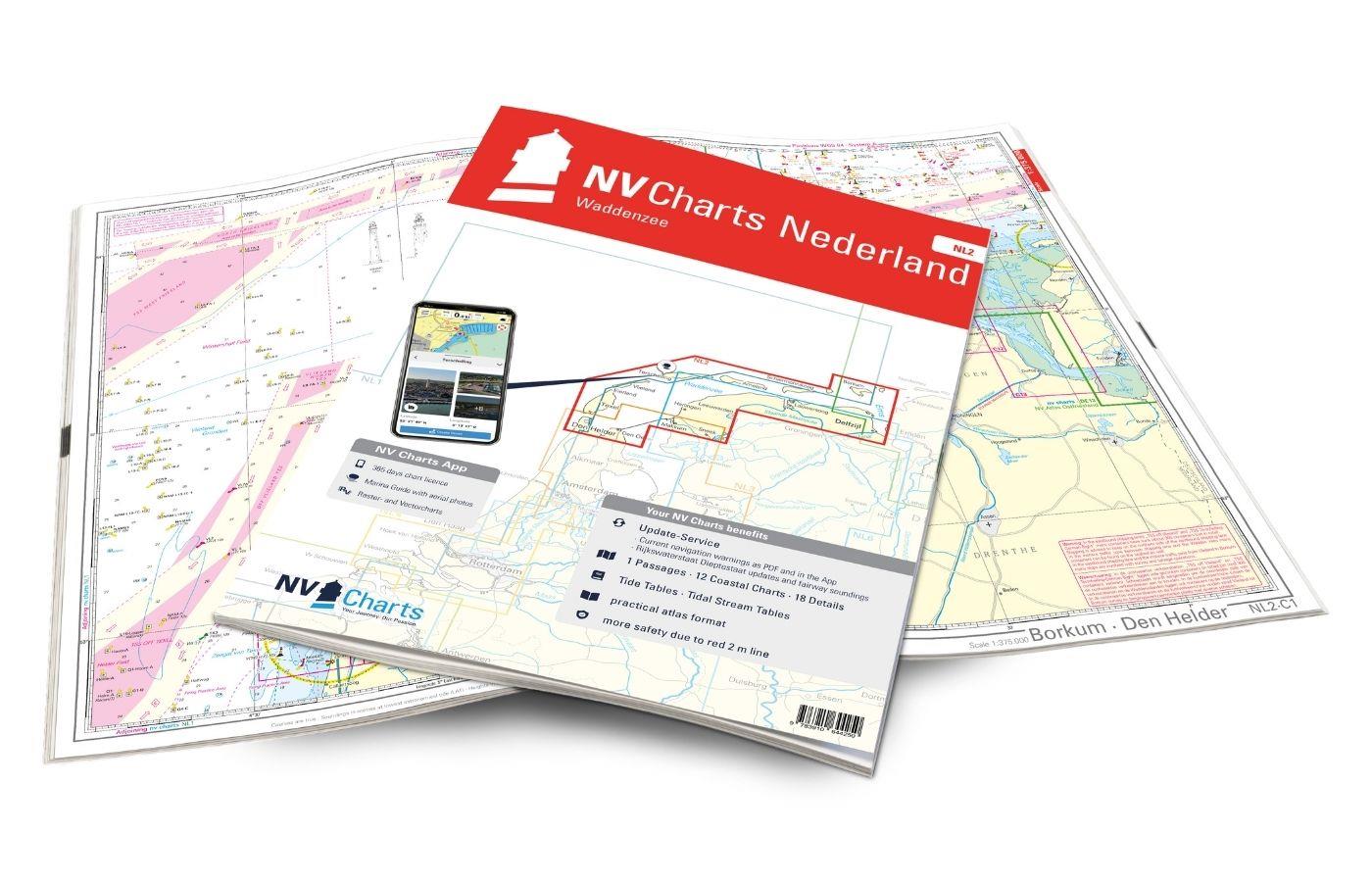
NV Charts Nederland NL2 - Waddenzee
The NV Atlas NL2 is the ideal chart to explore the Waddenzee region.The chart series, specially designed for recreational boating, contains the nautical charts in various sizes, as well as all harbor

Variants from €58.49*
€64.99*
NV Atlas Nordsee DE10 - Nordfriesland, Sylt bis Helgoland & Eider
The charts for the sea area Sylt to Helgoland are professional charts optimised for recreational boating in the North Sea. They contain all the information necessary for navigation in the difficult wa

Variants from €58.49*
€64.99*

Reviews

0 of 0 reviews

Leave a review!

Share your experiences with other customers.