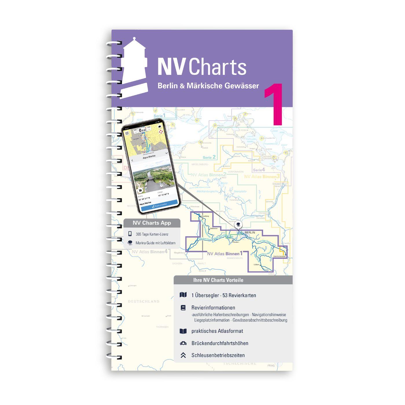
NV Binnen 1 Kombipack Berlin & Märkische Gewässer

App charts included
Edition: 2024
Edition Date: 29.04.2024

€44.99*


Product number: 8101

Description

Whoever wants to visit the capital Berlin from the water should not start this journey without the Inland Volume 1 Berlin & Märkische Gewässer by NV Charts. In addition to Berlin this chart set allows you to travel east to Eisenhüttenstadt southeast across the upper Spree to Lübbenau or west to the Mittellandkanal. To the northwest you can motor all the way to historic Havelberg. So there are plenty of opportunities to avoid the busy Spree and get to know Berlins beautiful hinterland with all its places worth seeing. The chart set contains 48 district and detailed charts.

The NV Sportschiffahrtskarten Binnen is a set of colour charts at a scale of 1:35 000 specially designed for inland waters. The charts have been drawn up according to the concept of practical handling and precise information. Large-scale details and tightly written texts provide information on water depths passage heights locks moorings and places of interest. An index and an overview map make finding the area quick and easy. An emblem on each page reveals the location in the area. The logical clear layout facilitates orientation as does the kilometre marking in the map margin. Dangerous spots highlighted in red and views of prominent points round off the multi-volume map series.


NV Charts navigation app

All NV Charts nautical charts also include an access code to the digital nautical charts in the NV Charts app and can thus be easily downloaded. The charts are valid for 365 days from activation and can be used for offline navigation with the NV Charts app on iOS, Android, PC and Mac or also in the web browser.

The NV Charts app is the ideal addition on mobile devices. With the app, you can already plan a detailed route at home and thus prepare for your journey in the best possible way in conjunction with the paper chart. The app is intuitive to use and, thanks to an identical map image, you can orientate yourself on paper and digitally in a matter of seconds. The most up-to-date information is essential to navigate safely on the water with your sailboat or motorboat.

With the NV Charts app, you now have the opportunity to become part of the chart community. You can mark harbours, anchorages and navigation warnings on the digital nautical chart and also add interesting places beyond navigation, such as restaurants, with pictures and comments and share your experiences with other users. In addition, the NV Charts app offers an automatic routing function, search and all navigation functions for GPS navigation with your phone or tablet. More information at: nvcharts.com/app

More PC navigation apps: NV Verlag / NV Charts nautical charts can also be used in many other nv.digital compatible PC navigation programs such as NV Chart Navigator or Open CPN.

Our recommendation:
As further connecting inland maps we recommend the NV Binnenband 2 with the Mecklenburg Lake District or else the NV Binnenband 3 to reach the Baltic Sea via Szczecin.


The following sections are included in the map volume:
   - Untere-Havel-Wasserstraße mit westl. Part Teltowkanal
   - Potsdamer Havel
   - Emster Gewässser
   - Beetzsee-Riewendsee-Wasserstraße
   - Elbe-Havel Kanal with connections to the Elbe
   - Teltowkanal östl. Kleinmanchow
   - Spree-Oder-Waterway and Berlin Canals
   - Rüdersdorfer Gewässer - Langerhanskanal
   - Dahme-Waterway
   - Storkower Gewässer
   - Teupitzer Gewässer
   - Obere-Spree-Wasserstraße with Dahme Umflutkanal

App License: NV Charts App
Format: Spiralbindung
Region: Deutschland, Inland , Binnen
Area preview

With the help of our area preview, you can get an impression of which geographical region the product deals with or which areas a nautical chart covers.

Reviews

1 of 1 reviews

5 out of 5 stars


100%

0%

0%

0%

0%


Leave a review!

Share your experiences with other customers.


11 March 2021 15:19

Sehr gute und detaillierte Binnenkarten

Meiner Meinung nach die besten Binnenkarten für deutsche Gewässer. Schade das noch nicht ganz Deutschland abgedeckt ist. Die mitgelieferte App möchte ich nicht mehr missen. Dieses Jahr wagen wir uns mal Richtung Ostsee.

Related products to this item

Related products to this item

Gebietsvorschau für NV Binnen 2 Kombipack Berlin & Mecklenburgische Gewässer öffnen
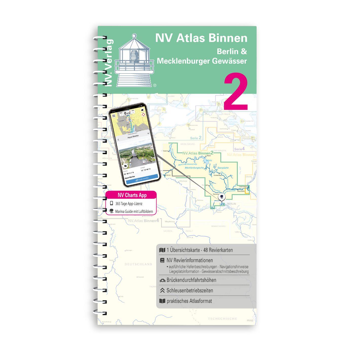
NV Binnen 2 Kombipack Berlin & Mecklenburgische Gewässer
If you are drawn to the largest networked water sports area in Europe you should have the inland volume 2 of NV Charts in your luggage. 1117 natural lakes provide a variety that is second to none. Fro

€44.99*
Gebietsvorschau für NV Binnen 4 Kombipack Elbe & Kanalverbindungen öffnen
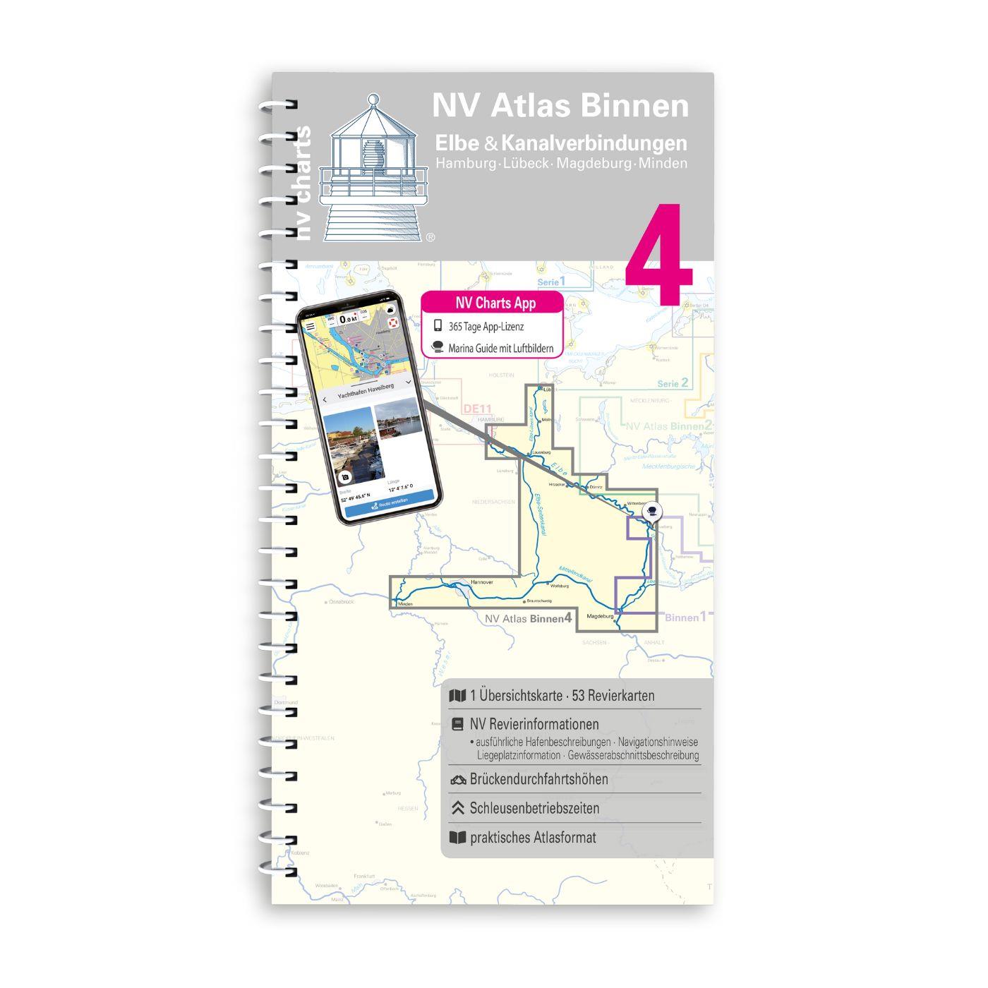
NV Binnen 4 Kombipack Elbe & Kanalverbindungen
The most exciting waterways can be found in Inland Volume 4 of NV Charts. The Elbe the Elbe-Lübeck Canal the Mittelland Canal and the Elbe-Seiten Canal are all highly frequented waterways with plenty

€44.99*
Gebietsvorschau für NV Binnen 3 Kombipack Nördliche Oder & Peene öffnen
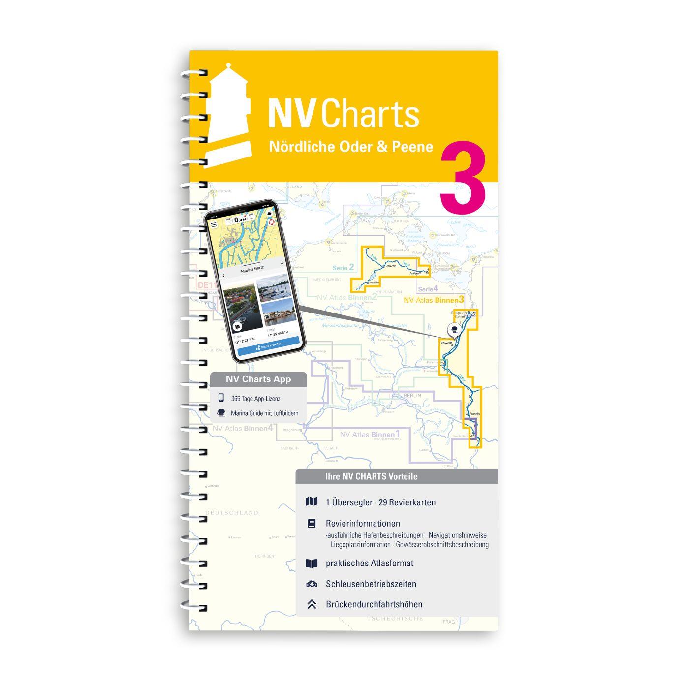
NV Binnen 3 Kombipack Nördliche Oder & Peene
Whoever wants to travel along the German-Polish border down the Oder to historic Szczecin should set out on the journey with Inland Volume 3 of NV Charts. From Eisenhüttenstadt downstream to the Szcze

€44.99*

Last viewed products

Last viewed products

Gebietsvorschau für C-MAP Discover Portugal u. Galizien EW-Y208 öffnen
-10 %
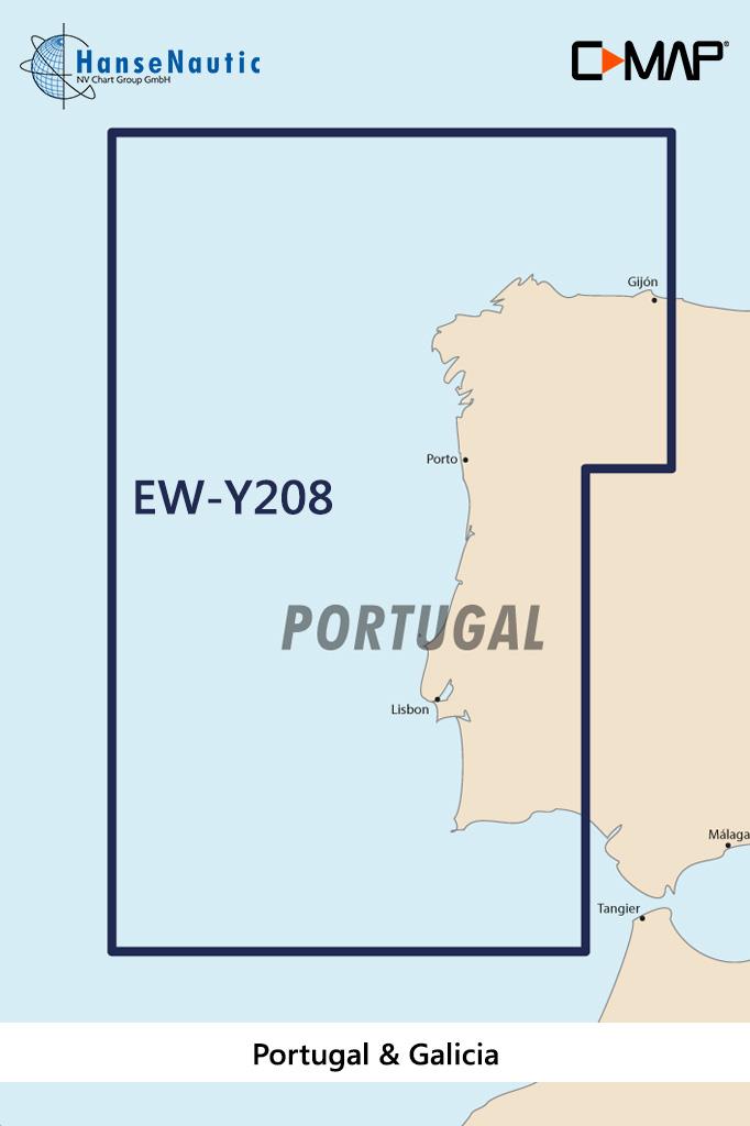
C-MAP Discover Portugal u. Galizien EW-Y208
Electronic nautical chart for the Portuguese Atlantic coast and the west coast of Spain for navigation with modern chart plotters from Lowrance Simrad or B&GFurther development of C-MAP a modern v

€138.00* €154.00* (10.39% saved)
Gebietsvorschau für ADMIRALTY NP57A Norway Pilot Vol 2A  öffnen
ADMIRALTY NP57A Norway Pilot Vol 2A
Official Sailing Manual ADMIRALTY Sailing Directions NorwayIncludes the west coast of Norway. From Jærens Rev do StadlandetNP57a is part of the worldwide series of books published by the United Kingdo

€109.90*
Gebietsvorschau für NV Binnen 4 Kombipack Elbe & Kanalverbindungen öffnen
NV Binnen 4 Kombipack Elbe & Kanalverbindungen
The most exciting waterways can be found in Inland Volume 4 of NV Charts. The Elbe the Elbe-Lübeck Canal the Mittelland Canal and the Elbe-Seiten Canal are all highly frequented waterways with plenty

€44.99*
Gebietsvorschau für NV Charts Atlantic ATL2 - Vigo to Gibraltar öffnen
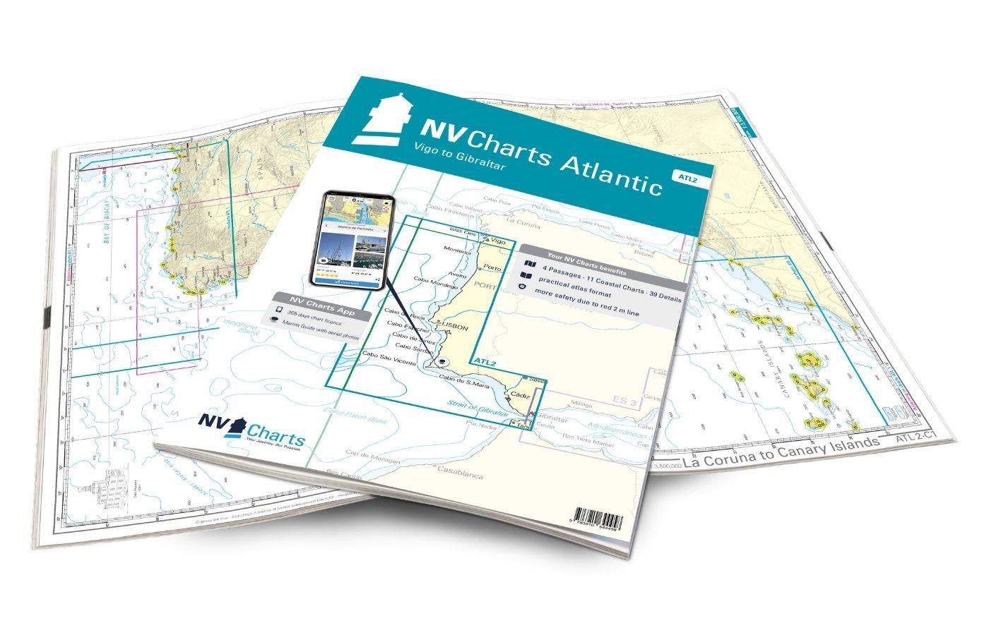
NV Charts Atlantic ATL2 - Vigo to Gibraltar
With the NV Charts Atlantic Atlas  ATL2 you can navigate reliably from the Spanish Atlantic coast to the Strait of Gibraltar. Thanks to the clear layout, the recreational skipper can quickly

€74.99*
Gebietsvorschau für NV Binnen 3 Kombipack Nördliche Oder & Peene öffnen
NV Binnen 3 Kombipack Nördliche Oder & Peene
Whoever wants to travel along the German-Polish border down the Oder to historic Szczecin should set out on the journey with Inland Volume 3 of NV Charts. From Eisenhüttenstadt downstream to the Szcze

€44.99*
Gebietsvorschau für Norwegen N 56 Atlantik von Tjøtta bis Dønna öffnen
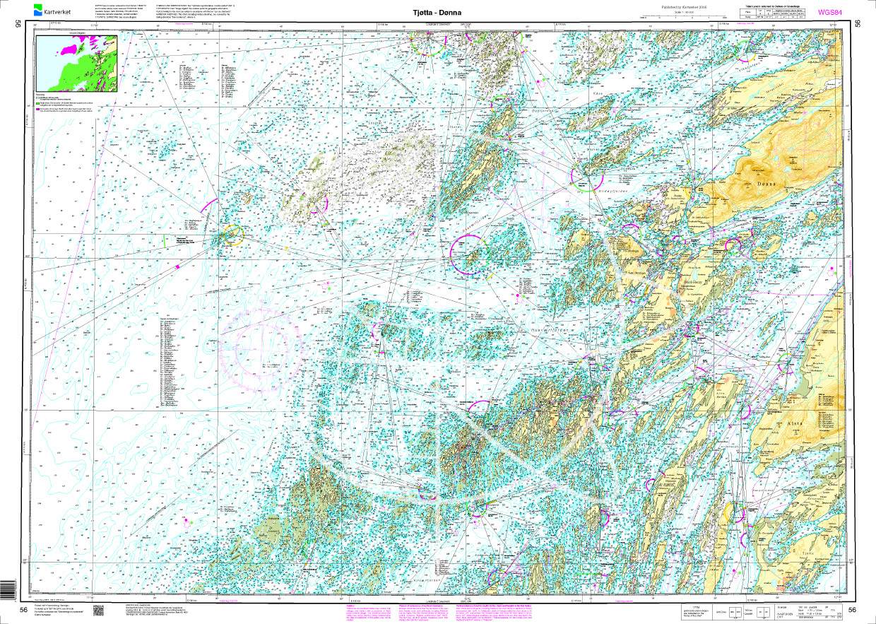
Norwegen N 56 Atlantik von Tjøtta bis Dønna
The Sea Chart N 56 covers the coast and offshore islands on the northern Norwegian coast from Tjøtta to Dønna. Detailed nautical chart at a scale of 1:50000. As an additional chart we recommend N 

€27.70*
Gebietsvorschau für NV Binnen 2 Kombipack Berlin & Mecklenburgische Gewässer öffnen
NV Binnen 2 Kombipack Berlin & Mecklenburgische Gewässer
If you are drawn to the largest networked water sports area in Europe you should have the inland volume 2 of NV Charts in your luggage. 1117 natural lakes provide a variety that is second to none. Fro

€44.99*
Gebietsvorschau für NV Binnenband 8 Göta Kanal & Trollhätte Kanal öffnen
NV Binnenband 8 Göta Kanal & Trollhätte Kanal
Swedens blue ribbon of 190 km in length - is probably one of the most scenic waterways in Europe. Every water sports enthusiast would like to pass the 58 locks downhill and uphill the pictur

€44.99*
Gebietsvorschau für NV Binnen 4 Kombipack Elbe & Kanalverbindungen öffnen
NV Binnen 4 Kombipack Elbe & Kanalverbindungen
The most exciting waterways can be found in Inland Volume 4 of NV Charts. The Elbe the Elbe-Lübeck Canal the Mittelland Canal and the Elbe-Seiten Canal are all highly frequented waterways with plenty

€44.99*
Gebietsvorschau für NV Binnen 3 Kombipack Nördliche Oder & Peene öffnen
NV Binnen 3 Kombipack Nördliche Oder & Peene
Whoever wants to travel along the German-Polish border down the Oder to historic Szczecin should set out on the journey with Inland Volume 3 of NV Charts. From Eisenhüttenstadt downstream to the Szcze

€44.99*