NV Charts Atlantic ATL2 - Vigo to Gibraltar

App charts included
Edition: 2022
Edition Date: 21.03.2022

€74.99*


Product number: 1505

Description

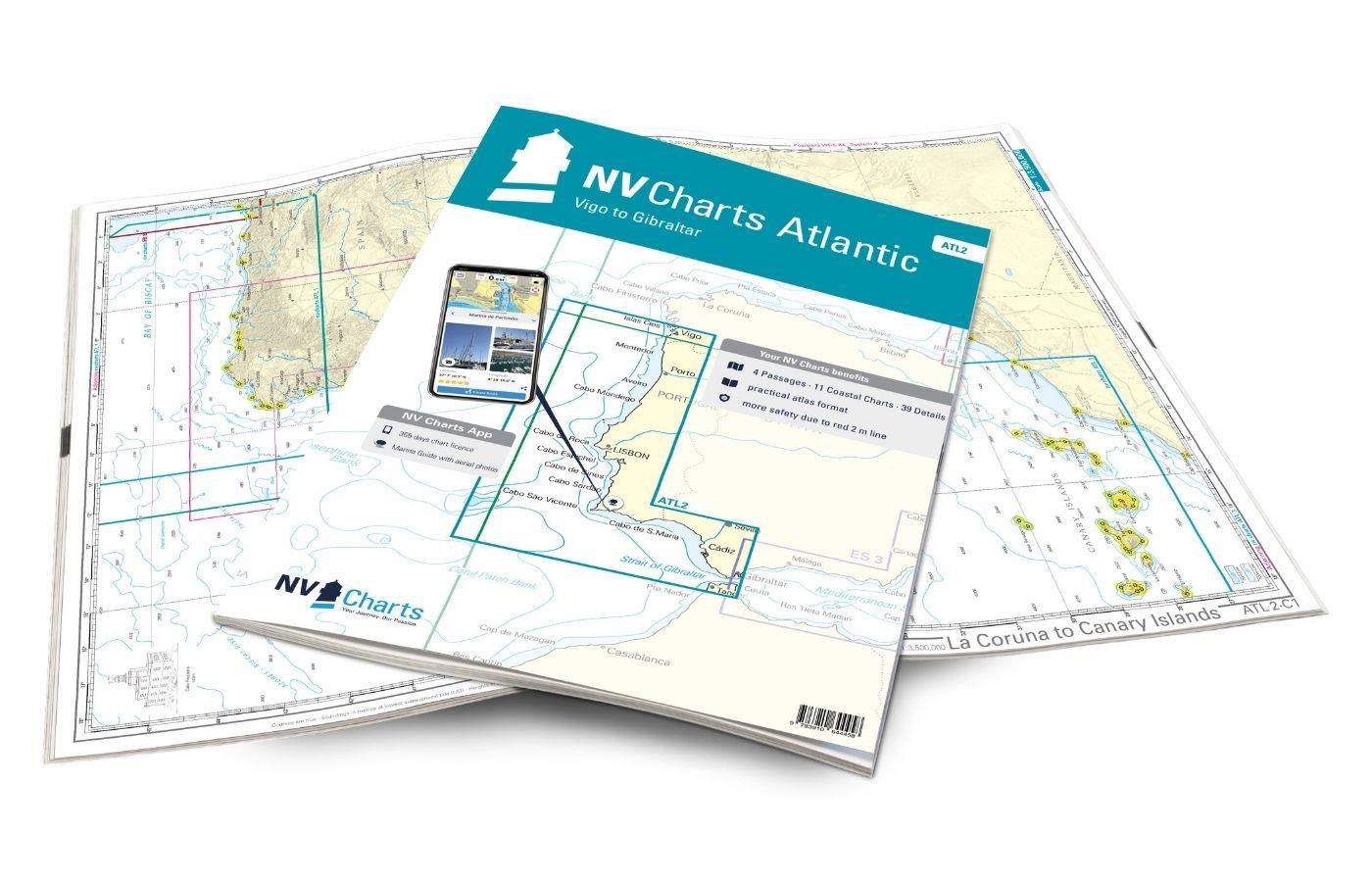
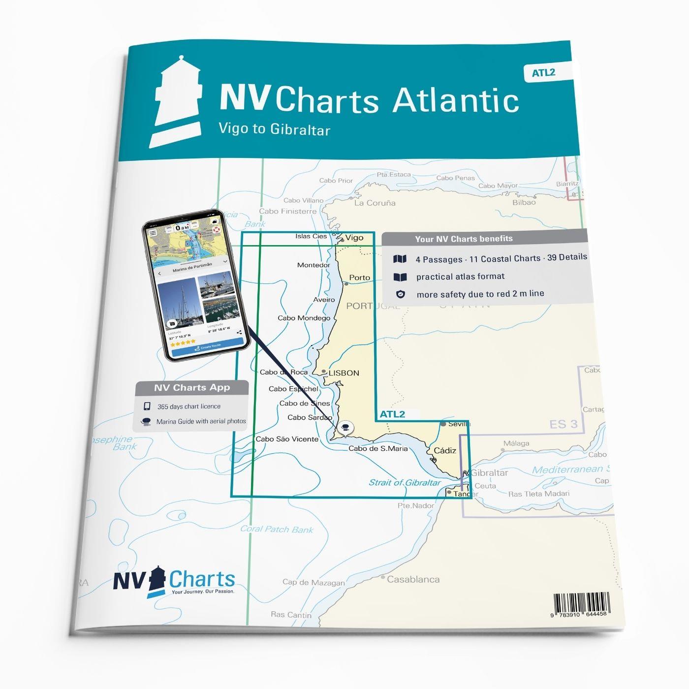
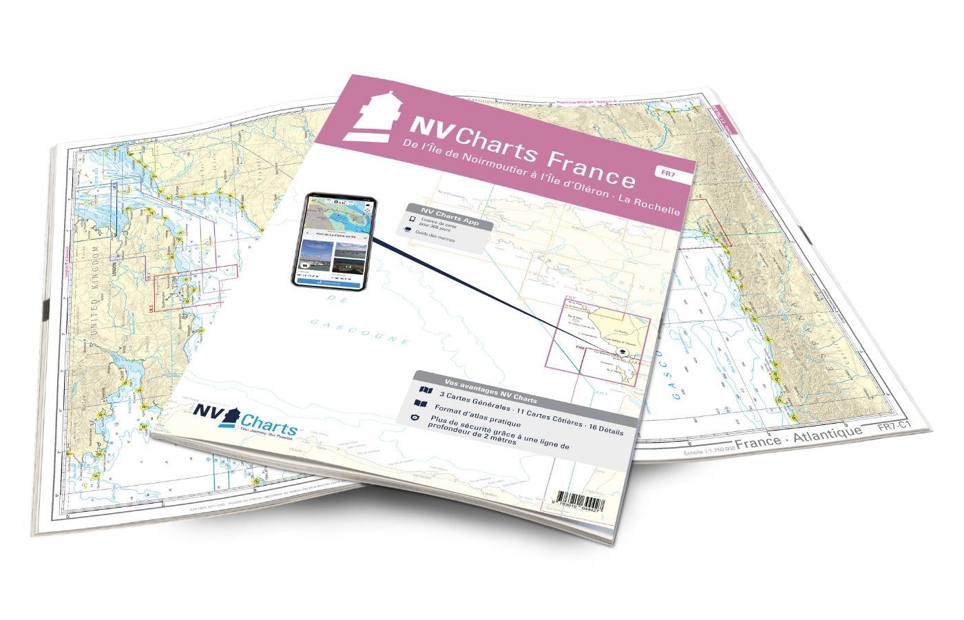
With the NV Charts Atlantic Atlas  ATL2 you can navigate reliably from the Spanish Atlantic coast to the Strait of Gibraltar. Thanks to the clear layout, the recreational skipper can quickly find approaches, harbours and anchorages and is informed of navigationally important details that also appear in the NV Charts app. The chart series impresses with its optimal dimensions and balanced sheet sections.

Regions overview

To continue travelling from the Spanish Atlantic coast to Portugal, there is no way around the ATL2. Portugal has recently established itself more and more as a water sports destination, as the year-round winds are a good prerequisite for exciting sailing trips. Although the centres of yachting tend to be around Lisbon, there are plenty of marinas for stopovers in other cities, such as Porto, Figueira da Foz or Aveiro. Caution: Be aware of the tidal range, which is often between 3-4 metres here. As soon as you reach the Algarve, it becomes more sheltered and you are lulled by the lagoons. From there, it is not far to one of the busiest waterways in the world - the Strait of Gibraltar - to reach the Mediterranean.

As a further recommendation for this map set, we recommend the NV Charts Atlantic ATL3, which will take you to the Azores, Madeira or the Canary Islands. If you want to travel further into the Mediterranean, the NV Charts Spain ES3 is the right choice. Heading north, you can continue with the NV Charts Atlantic ATL1 towards the Bay of Biscay and northern Spain.

This chart set includes

  • 4 &sailors
  • 11 territory cards
  • 39 detailed maps
  • Digital charts for navigation program and NV Charts App 356-day licence
  • Navigation instructions in English
  • Tide tables
  • Harbour plans paper & digital
  • Fulfils all legal requirements for up-to-date paper charts on board

All advantages at a glance

  • NV Atlas chart format: Practical, handy atlas format, opened in A2, closed in A3 format, flat staple binding in the centre - makes it easy to work with the course triangle
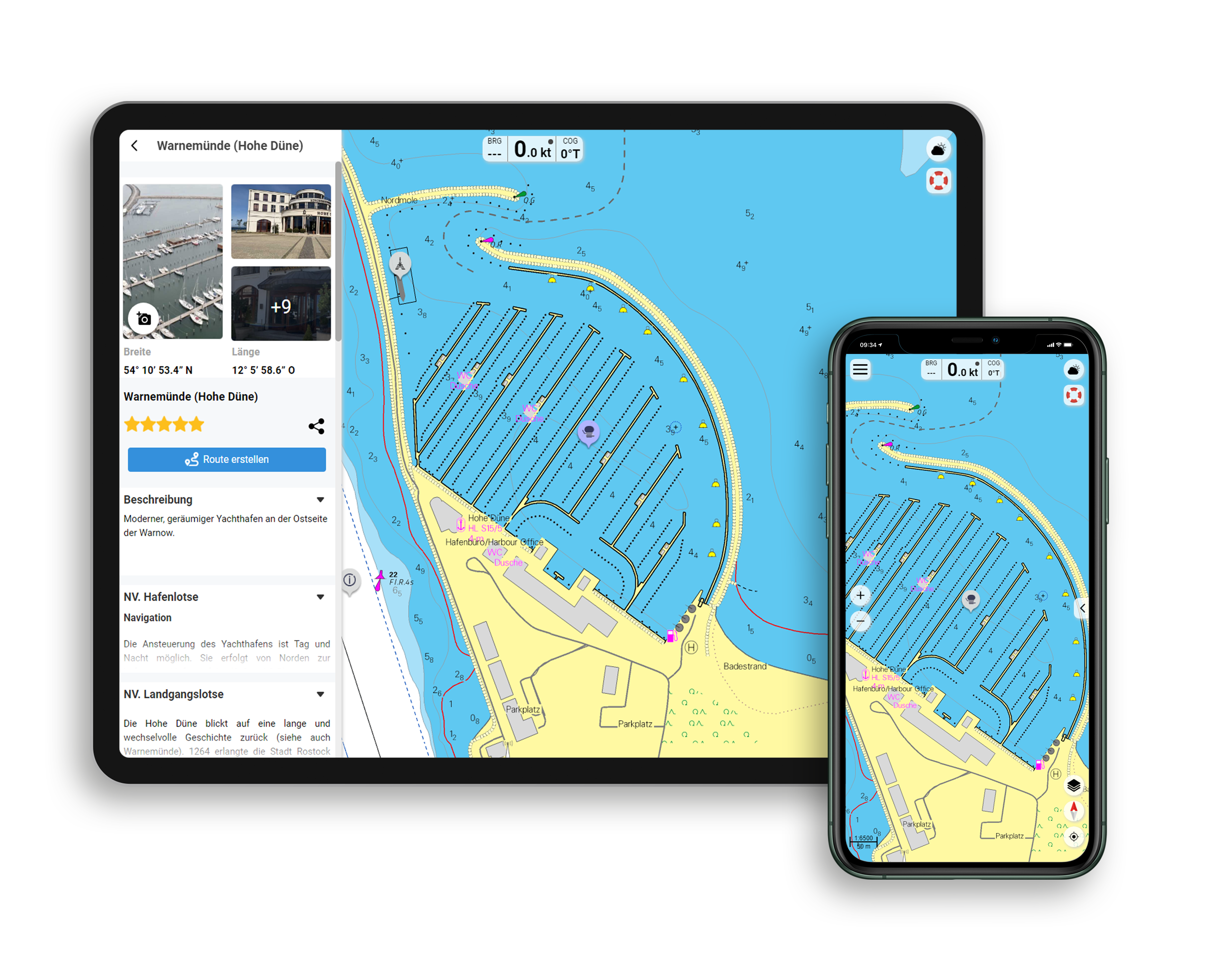
  • NV Charts app: including access code to the digital nautical charts of the purchased area in the NV Charts app with 365-day licence, for offline navigation with the app on iOS, Android, PC, Mac or in the web browser, comprehensive harbour manual
  • Extremely detailed: Nautical charts based on data from official surveys and own surveys, particularly detailed outside the main fairways
  • Optimised for recreational boating

Functions of the NV Charts app

  • Flexible autorouting
  • Satellite overlay
  • Augmented reality
  • VMG (Velocity Made Good)
  • BoatView harbour guide
  • Track recording
  • AIS connection and much more.
Find out more now

Charts and measures included

Übersegler

C1 La Coruña to Canary Islands 1: 3,500,000 , C2 La Coruña to Gibraltar 1: 1,750,000 , C3 Vigo to Lisbon 1: 950,000 , C4 Lisbon to Gibraltar 1: 950,000

Territory maps

C5 Cabo Finisterre to Cabo Silleiro - Vigo 1: 200,000 , C6 Cabo Silleiro to Porto 1: 200,000 , C7 Porto to Cabo Mondego - Aveiro 1: 200,000 , C8 Cabo Mondego to Cabo Carvoeiro 1: 200,000 , C9 Cabo Carvoeiro to Lisbon 1: 200,000 , C10 Lisbon to Cabo Sines - Vila Nova 1: 200,000 , C11 Vila Nova to Cabo Vicente 1: 200,000 , C12 Cabo Vicente to Quarteira 1: 200,000 , C13 Quarteira to Pta. Umbria - Huelva 1: 200,000 , C14 Pta.Umbria to Cabo Roche 1: 200,000 , C15 Cabo Roche to Gibraltar 1: 200,000

Detailed maps

C16 Ría de Vigo West 1: 40,000 , C17A Ría de Vigo East 1: 40,000 , C17B El Rompido 1: 40,000 , C17C Baiona 1: 20,000 , C17D Viana do Castelo 1: 15,000 , C18A Póvoa 1: 10,000 , C18B Leixões 1: 15,000 , C18C Porto 1: 15,000 , C18D Figueira da Foz 1: 15,000 , C18E Peniche 1: 20,000 , C19A Aveiro 1: 30,000 , C19B Approach to Setúbal 1: 40,000 , C20 Lisbon West 1: 30,000 , C21A Lisbon East 1: 30,000 , C21B Cascais 1: 15,000 , C21C Oeiras 1: 15,000 , C22A Sesimbra 1: 15,000 , C22B Sines 1: 20,000 , C22C Alvor 1: 25,000 , C22D Albufeira 1: 10,000 , C22E Vilamoura 1: 15,000 , C22F Pta. de Sagres 1: 25,000 , C22G Lagos 1: 25,000 , C22H Portimão 1: 25,000 , C23 Faro - Olhão 1: 25,000 , C24A Pta. Umbria 1: 20,000 , C24B Mazagón 1: 20,000 , C25A Rio Guardiana 1: 30,000 , C25B Chipiona 1: 40,000 , C26A-C Rio Guadalquivir - Bonanza to Sevilla 1: 60,000 , C27 Cádiz 1: 40,000 , C28A Tarifa 1: 25,000 , C28B Gibraltar 1: 15,000 , C28C Approach to Gibraltar 1: 40,000 , C29A Sancti Petri 1: 20,000 , C29B Barbate 1: 10,000 , C29C Cabo Trafalgar 1: 60,000
Tidal Stream Tables C29
Legend - General Notes p.30

App License: NV Charts App
Format: NV Atlas, Gebundener Kartensatz
Area preview

With the help of our area preview, you can get an impression of which geographical region the product deals with or which areas a nautical chart covers.

Related products to this item

Related products to this item

Gebietsvorschau für NV Charts Atlantic ATL1 - English Channel to Vigo öffnen
NV Charts Atlantic ATL1 - English Channel to Vigo
With the NV Charts Atlantic Atlas ATL1 you have a reliable companion for the Bay of Biscay from Falmouth to Vigo at your side. Thanks to the clear layout, the recreational skipper can quickly find app

€74.99*
Gebietsvorschau für NV Charts Spain ES3 - Gibraltar to Cabo de San Antonio öffnen
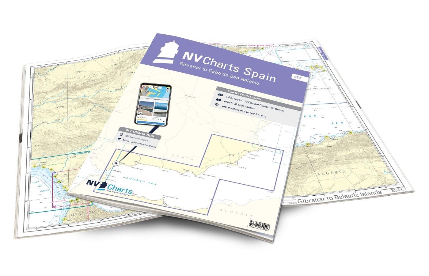
NV Charts Spain ES3 - Gibraltar to Cabo de San Antonio
With the NV Charts Spain Atlas ES3 takes you from the Strait of Gibraltar to Cabo de San Antonio. Thanks to the clear layout, the recreational skipper can quickly find approaches, harbours and anchora

€64.99*
Gebietsvorschau für NV Charts Atlantic ATL3 - Atlantic Islands Azores - Madeira, Canary Islands, Cape Verde  öffnen
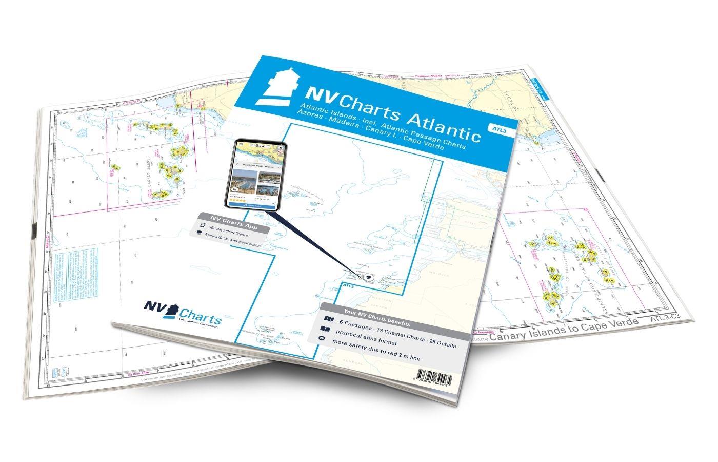
NV Charts Atlantic ATL3 - Atlantic Islands Azores - Madeira, Canary Islands, Cape Verde
If you want to embark on the great adventure of crossing the Atlantic, the NV Charts Atlantic ATL3 is ideally equipped. Thanks to the clear layout, the recreational skipper can quickly find approaches

€74.99*
Gebietsvorschau für NV Charts France FR1 - Oostende à Cherbourg öffnen
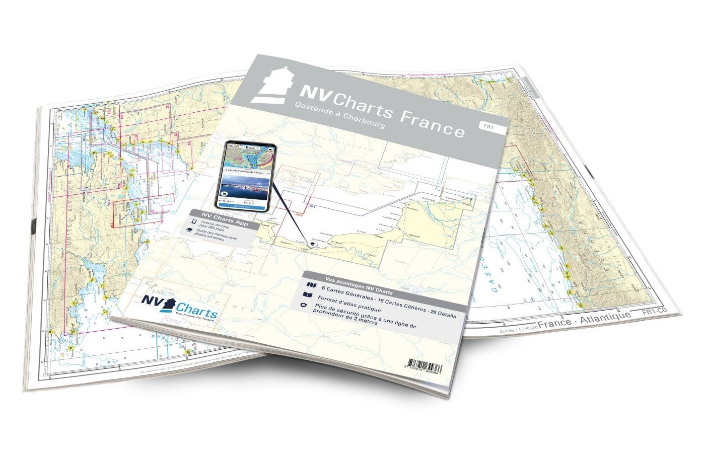
NV Charts France FR1 - Oostende à Cherbourg
For water sports enthusiasts who want to explore the French canal coast, the NV Charts Atlas FR1 which accompanies you along the coast from Dunkirk (Dunkerque) to Cherbourg. Thanks to the clear layout

€64.99*
Gebietsvorschau für NV Charts France FR4 - Les Sept Isles à Douarnenez öffnen
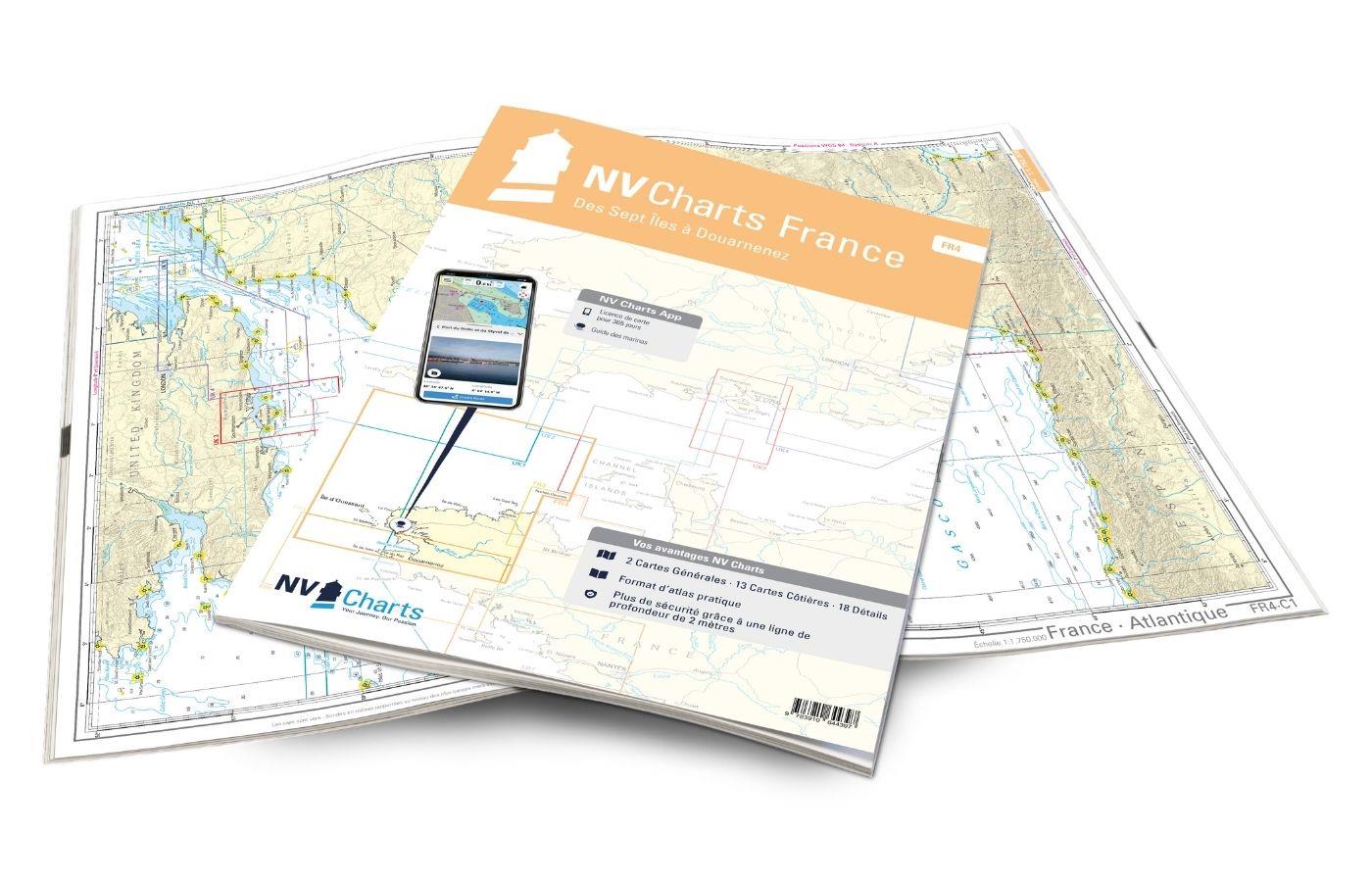
NV Charts France FR4 - Les Sept Isles à Douarnenez
The NV Charts France FR4 covers the north-western tip of Brittany. Thanks to the clear layout, the recreational skipper can quickly find approaches, harbours and anchorages and is informed o

€64.99*
Gebietsvorschau für NV Charts France FR2 - Cherbourg à St. Malo öffnen
NV Charts France FR2 - Cherbourg à St. Malo
If you are drawn to the marvellous Channel Islands, the NV Charts Atlas FR2 is well advised! Thanks to the clear layout, the recreational skipper can quickly find approaches, harbours and anchorages a

€64.99*

Reviews

0 of 0 reviews

Leave a review!

Share your experiences with other customers.


Gebietsvorschau für NV Charts Bermuda 16.1 - Passages US East Coast - Caribbean - Europe öffnen
NV Charts Bermuda 16.1 - Passages US East Coast - Caribbean - Europe
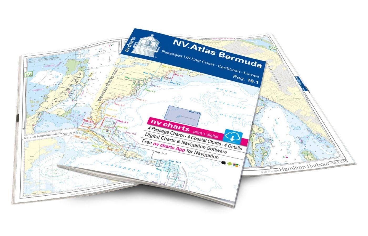
With the NV Charts Bermuda 16.1 Atlas you have the right companion for the US East Coast - Caribbean - Europe passages at your side. Thanks to the clear layout, you can find accesses, harbours an

€69.80*
Gebietsvorschau für NV Charts France FR1 - Oostende à Cherbourg öffnen
NV Charts France FR1 - Oostende à Cherbourg
For water sports enthusiasts who want to explore the French canal coast, the NV Charts Atlas FR1 which accompanies you along the coast from Dunkirk (Dunkerque) to Cherbourg. Thanks to the clear layout

€64.99*
Gebietsvorschau für NV Charts Spain ES3 - Gibraltar to Cabo de San Antonio öffnen
NV Charts Spain ES3 - Gibraltar to Cabo de San Antonio
With the NV Charts Spain Atlas ES3 takes you from the Strait of Gibraltar to Cabo de San Antonio. Thanks to the clear layout, the recreational skipper can quickly find approaches, harbours and anchora

€64.99*
Lochs and lights
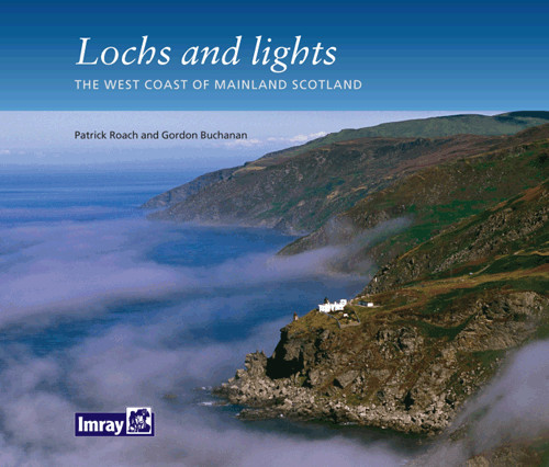
An illustrated book of the west coast of mainland Scotland by Patrick Roach and Gordon Buchanan.Lochs and Light' is an illustrated book of stunning aerial photographs of the west coast of Scotland, on

€14.80*
Gebietsvorschau für NV Charts Pilot 6 - US East Coast, Maine to Caribbean • Bermuda öffnen
NV Charts Pilot 6 - US East Coast, Maine to Caribbean • Bermuda
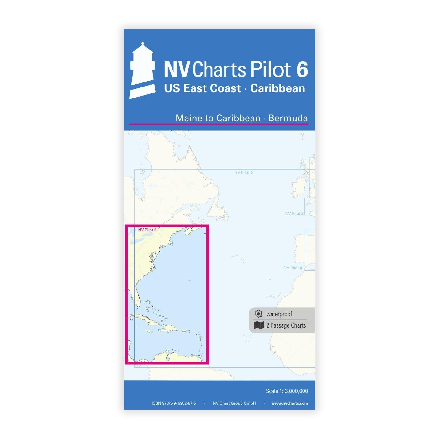
The Pilot 6 is a planning chart for the east coast of the USA. The Antilles, Cuba and the Caribbean Sea can also be found on this chart.This folding chart consists of two overview charts:Chart 1, scal

€24.99*
Gebietsvorschau für NV Charts Atlantic ATL1 - English Channel to Vigo öffnen
NV Charts Atlantic ATL1 - English Channel to Vigo
With the NV Charts Atlantic Atlas ATL1 you have a reliable companion for the Bay of Biscay from Falmouth to Vigo at your side. Thanks to the clear layout, the recreational skipper can quickly find app

€74.99*
Gebietsvorschau für NV Charts France FR8 - Île d'Oléron à San Sebastian - Bordeaux öffnen
NV Charts France FR8 - Île d'Oléron à San Sebastian - Bordeaux
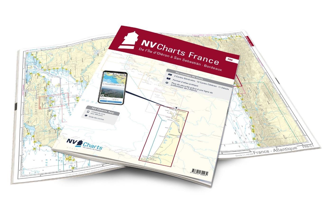
With the NV Charts France FR8 You can travel from the sailing stronghold of La Rochelle via the Gironde to Bordeaux or as far as the Spanish border. Thanks to the clear layout, the sports skipper can

€64.99*
Gebietsvorschau für NV Charts Pilot 5 North Atlantic Ocean - Gibraltar to Caribbean, Atlantic Islands öffnen
NV Charts Pilot 5 North Atlantic Ocean - Gibraltar to Caribbean, Atlantic Islands
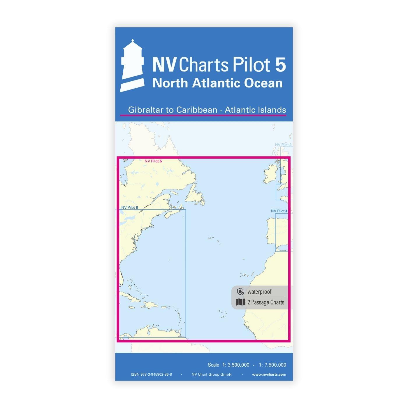
The NV Charts Pilot 5 is a folding chart that you absolutely need for planning a transatlantic passage. The west coast of Spain, Portugal, Morocco and the Canary Islands are covered in this oversailer

€24.99*
CCC Firth of Clyde
Firth of Clyde covers everything from the busy waters of the Firth of Clyde and River Clyde to the more remote areas of the wider estuary and connected lochs, including the protected and beautiful Kyl

€48.50*
Gebietsvorschau für NV Charts France FR4 - Les Sept Isles à Douarnenez öffnen
NV Charts France FR4 - Les Sept Isles à Douarnenez
The NV Charts France FR4 covers the north-western tip of Brittany. Thanks to the clear layout, the recreational skipper can quickly find approaches, harbours and anchorages and is informed o

€64.99*
Gebietsvorschau für NV Charts France FR7 - Îles de Noirmoutier à Oléron - La Rochelle öffnen
NV Charts France FR7 - Îles de Noirmoutier à Oléron - La Rochelle
With the NV Charts France FR7 Atlas discover the French Atlantic coast. Thanks to the clear layout, the recreational skipper can quickly find approaches, ports and anchorages and is informed of naviga

€64.99*
Gebietsvorschau für NV Charts France FR2 - Cherbourg à St. Malo öffnen
NV Charts France FR2 - Cherbourg à St. Malo
If you are drawn to the marvellous Channel Islands, the NV Charts Atlas FR2 is well advised! Thanks to the clear layout, the recreational skipper can quickly find approaches, harbours and anchorages a

€64.99*