NV Charts Spain ES3 - Gibraltar to Cabo de San Antonio

App charts included
Edition: 2022
Edition Date: 14.03.2022

€64.99*


Product number: 1503

Description

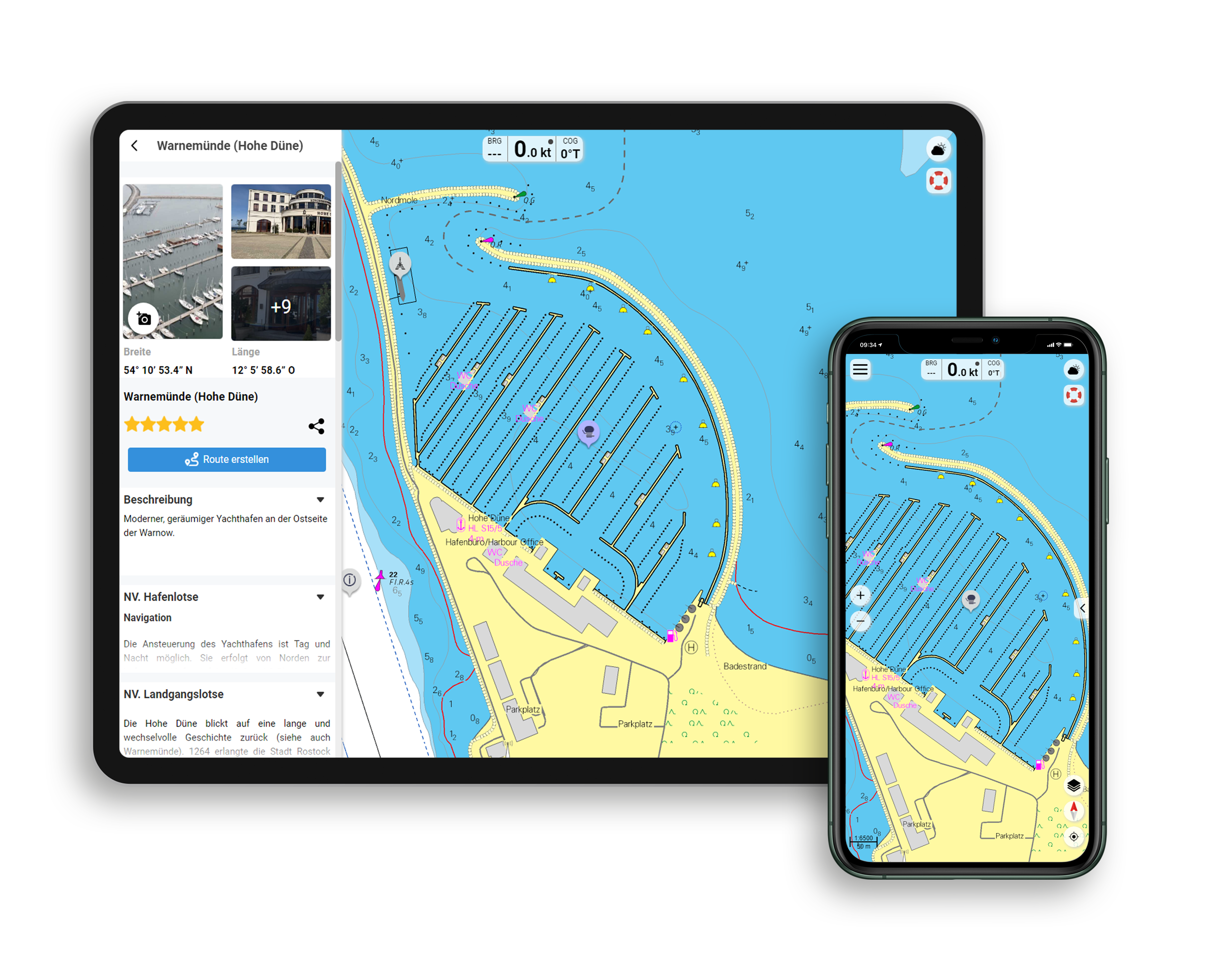
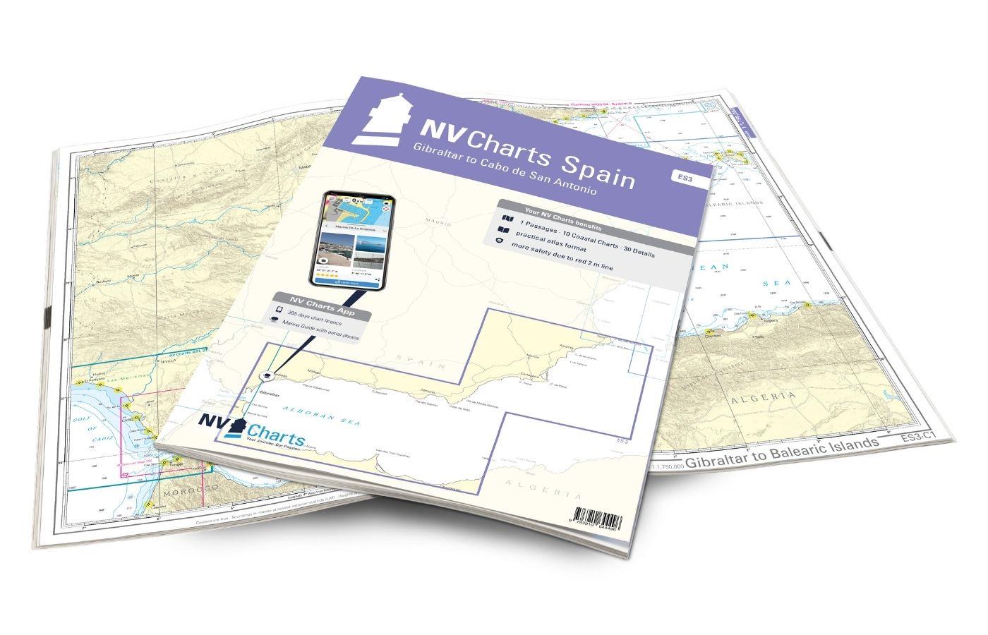
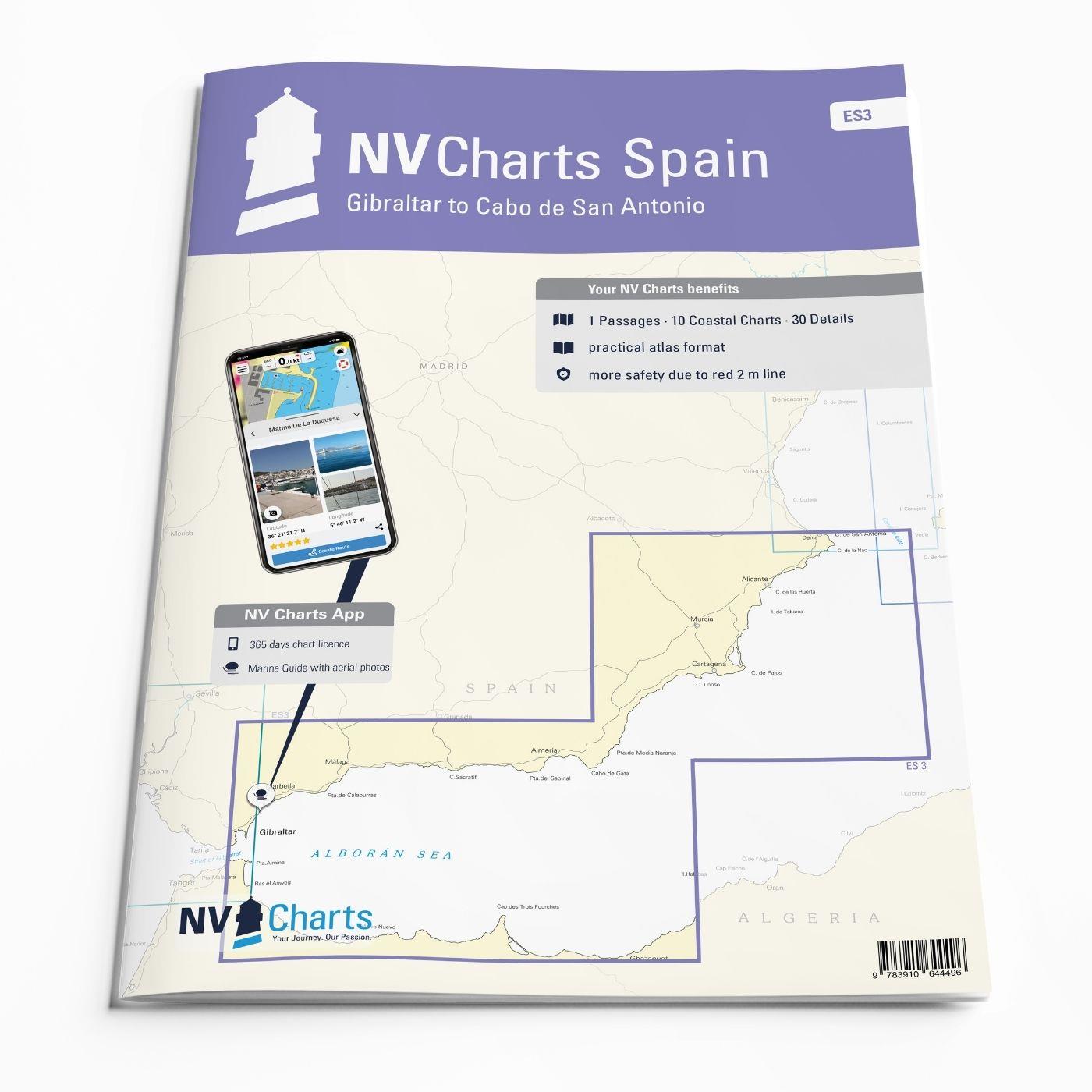
With the NV Charts Spain Atlas ES3 takes you from the Strait of Gibraltar to Cabo de San Antonio. Thanks to the clear layout, the recreational skipper can quickly find approaches, harbours and anchorages and is informed of navigationally important details that also appear in the NV Charts app. The chart series impresses with its optimal dimensions and balanced sheet sections.

Regions overview

Once you have passed one of the busiest waterways in the world, the Strait of Gibraltar, from the west, you should have the ES3 on board. In Gibraltar, the British Crown Colony, there are several busy marinas where it is advisable to book in advance. For those who prefer things a little quieter, Puerto de Sotogrande or Puerto de la Duquesa are good alternatives. The climate here in Andalusia is ideal. The Mediterranean climate with around 300 days of sunshine a year makes Andalusia look good as a water sports paradise. Once you have left Torremolinos and Malaga behind you, you reach the sparsely populated Costa Tropical, Costa Almeria and the Costa Calida. There are charming bays, mountain ranges such as the Sierra Nevada in the background and opportunities to visit smaller ports everywhere. The very touristy Costa Blanca has two starting points, Alicante and Denia, from which you can travel directly to the Balearic island of Ibiza.

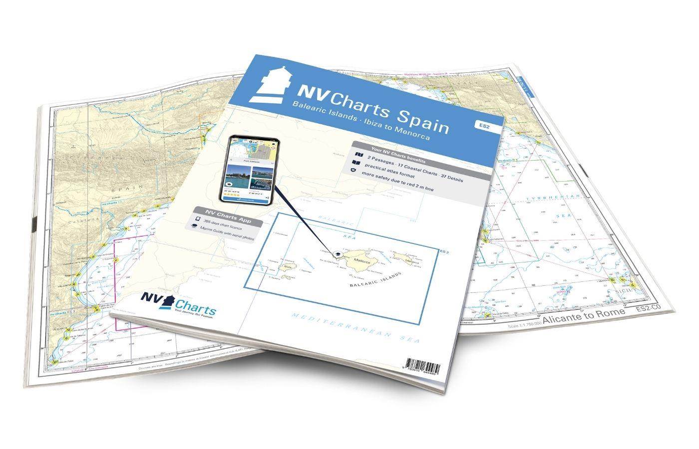
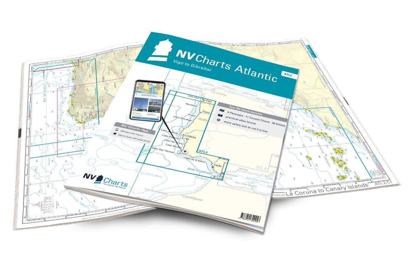
We recommend the following additional map set NV Charts Spain  ES2 which accompanies you directly to the Balearic Islands, or the NV Charts Spain ES1 which takes you along the Spanish coast to the French border. If you want to head west out onto the Atlantic or to Portugal, the NV Charts Atlantic ATL 2 well equipped.

This set of cards includes

  • 1 &sailor
  • 10 territory cards
  • 30 detailed maps
  • Digital charts for navigation programme and NV Charts App 356-day licence
  • Navigation instructions in English
  • Harbour plans paper & digital
  • Fulfils all legal requirements for up-to-date paper charts on board

All advantages at a glance

  • NV Atlas chart format: Practical, handy atlas format, opened in A2, closed in A3 format, flat staple binding in the centre - makes it easy to work with the course triangle
  • NV Charts app: including access code to the digital nautical charts of the purchased area in the NV Charts app with 365-day licence, for offline navigation with the app on iOS, Android, PC, Mac or in the web browser, comprehensive harbour manual
  • Extremely detailed: Nautical charts based on data from official surveys and own surveys, particularly detailed outside the main fairways
  • Optimised for recreational boating

Functions of the NV Charts app

  • Flexible autorouting
  • Satellite overlay
  • Augmented reality
  • VMG (Velocity Made Good)
  • BoatView harbour guide
  • Track recording
  • AIS connection and much more.
Find out more now

Charts and measures included

Übersegler

C1 Gibraltar to Balearic Islands 1: 1,750,000

Territory maps

C2 Cadiz to Málaga 1: 350,000 , C3 Málaga to Almería 1: 350,000 , C4 Almería to Cabo de Palos 1: 350,000 , C5 Cabo Palos to Cabo San Antonio 1: 350,000 , C6 Gibraltar to Baie Betoya 1: 350,000 , C7 Baie Betoya to I. Habibas 1: 350,000 ,C8 Gibraltar to Málaga 1: 200,000 , C15 Mar Menor 1: 75,000 , C16 Bahía de Alicante 1: 60,000 , C17 Villajoyosa to Moraira 1: 75,000

Detailed maps

C9A Approach to Gibraltar 1: 40,000 , C9B Gibraltar 1: 15,000 , C9C Sotogrande 1: 10,000 , C9D La Duquesa 1: 5,000 , C10A Estepona 1: 5,000 , C10B Fuengirola 1: 10,000 , C10C Benalmádena 1: 10,000 , C10D Marina del Este 1: 5,000 , C10E Puerto José Banús 1: 10,000 , C10F Marbella 1: 15,000 , C10G Málaga 1: 15,000 , C11A Caleta de Vélez 1: 5,000 , C11B Almerimar 1: 10,000 , C11C Aguadulce 1: 5,000 , C11D Adra 1: 10,000 , C11E Motril 1: 10,000 , C11F Almería 1: 15,000 , C12A Carboneras 1: 20,000 , C12B Aguilas 1: 15,000 , C13 Approach to Cartagena 1: 40,000 , C14A Mazzarón 1: 20,000 , C14B Isla Alborán 1: 15,000 , C14C Cartagena 1: 15,000 , C14D San José 1: 5,000 , C14E Garrucha 1: 10,000 , C18 Altea to Calpe 1: 25,000 , C19A Approach Mar Menor 1: 20,000 , C19B Alicante 1: 20,000 , C19C Moraira 1: 10,000 , C19D Ceuta 1: 15,000
Legend p.20

App License: NV Charts App
Format: NV Atlas, Gebundener Kartensatz
Area preview

With the help of our area preview, you can get an impression of which geographical region the product deals with or which areas a nautical chart covers.

Related products to this item

Related products to this item

Gebietsvorschau für NV Charts Spain ES1 - Cabo San Antonio to Cabo Creus öffnen
NV Charts Spain ES1 - Cabo San Antonio to Cabo Creus
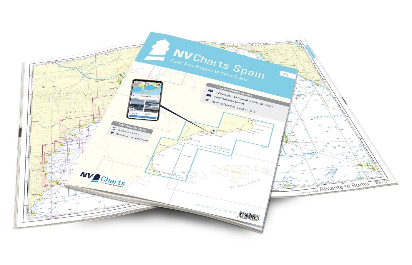
With the NV Charts Spain Atlas ES1 you can discover the Spanish Mediterranean coast from Cabo San Antonio to (almost) the French border. Thanks to the clear layout, recreational boaters can quickly fi

€64.99*
Gebietsvorschau für NV Charts Spain ES2 Balearic Islands · Ibiza to Menorca öffnen
NV Charts Spain ES2 Balearic Islands · Ibiza to Menorca
With the NV Charts Atlas ES2 you have the perfect companion for the Balearic Islands. Thanks to the clear layout, the recreational skipper can quickly find approaches, harbours and anchorages and is i

€64.99*
Gebietsvorschau für NV Charts Atlantic ATL2 - Vigo to Gibraltar öffnen
NV Charts Atlantic ATL2 - Vigo to Gibraltar
With the NV Charts Atlantic Atlas  ATL2 you can navigate reliably from the Spanish Atlantic coast to the Strait of Gibraltar. Thanks to the clear layout, the recreational skipper can quickly

€74.99*
Gebietsvorschau für NV Charts Pilot 4 - Mediterranean West, Gibraltar to Sicily Adriatic Sea öffnen
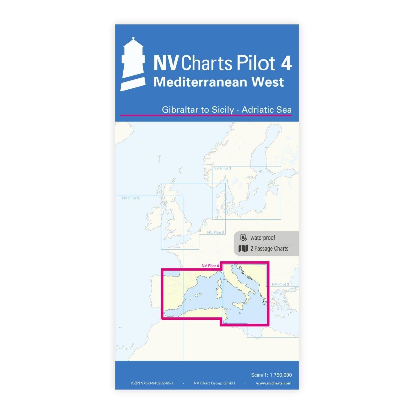
NV Charts Pilot 4 - Mediterranean West, Gibraltar to Sicily Adriatic Sea
The Pilot 4 is ideal as a planning chart for traveling the western Mediterranean. The east coast of Spain, the south coast of France and Italy are covered in this oversailor. You can also find the Bal

€24.99*
Gebietsvorschau für NV Charts Atlantic ATL1 - English Channel to Vigo öffnen
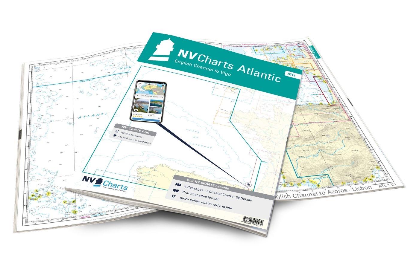
NV Charts Atlantic ATL1 - English Channel to Vigo
With the NV Charts Atlantic Atlas ATL1 you have a reliable companion for the Bay of Biscay from Falmouth to Vigo at your side. Thanks to the clear layout, the recreational skipper can quickly find app

€74.99*
Gebietsvorschau für NV Charts France FR9 - Cabo Creus to Toulon öffnen
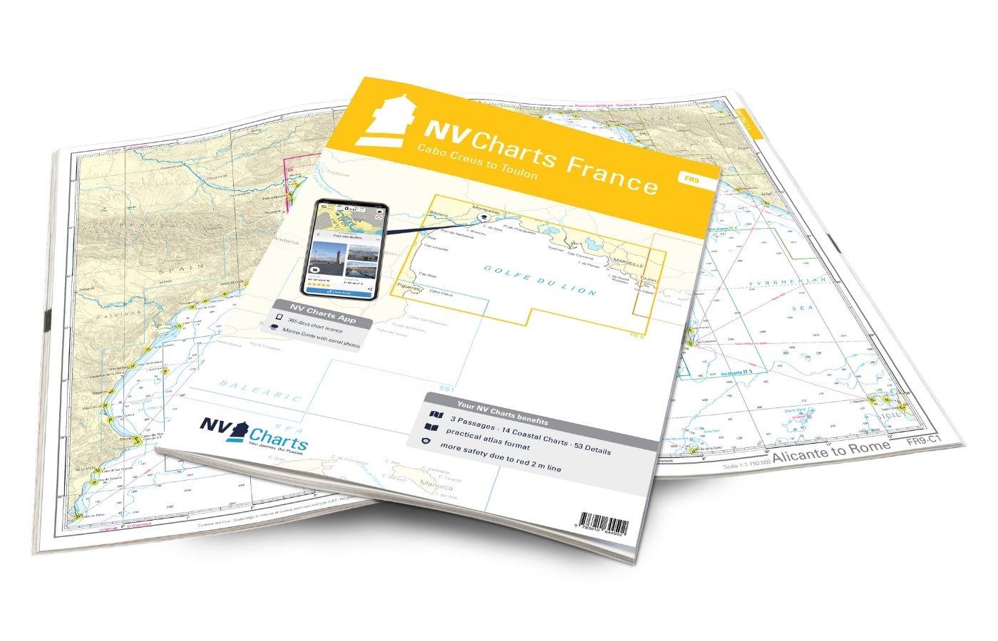
NV Charts France FR9 - Cabo Creus to Toulon
With the NV Charts France Atlas FR9 you have a reliable companion at your side from the northern Mediterranean coast of Spain to Toulon in France. Thanks to the clear layout, recreational boaters can

€64.99*

Last viewed products

Last viewed products

Gebietsvorschau für C-MAP Discover Portugal u. Galizien EW-Y208 öffnen
-10 %
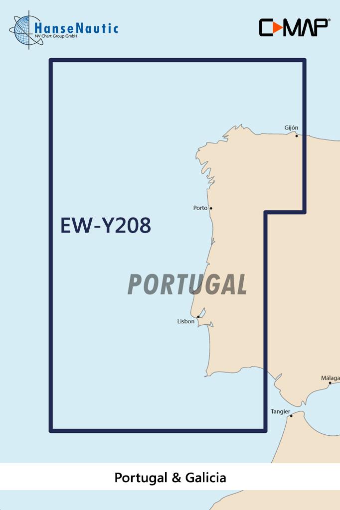
C-MAP Discover Portugal u. Galizien EW-Y208
Electronic nautical chart for the Portuguese Atlantic coast and the west coast of Spain for navigation with modern chart plotters from Lowrance Simrad or B&GFurther development of C-MAP a modern v

€138.00* €154.00* (10.39% saved)
Gebietsvorschau für NV Binnen 1 Kombipack Berlin & Märkische Gewässer öffnen
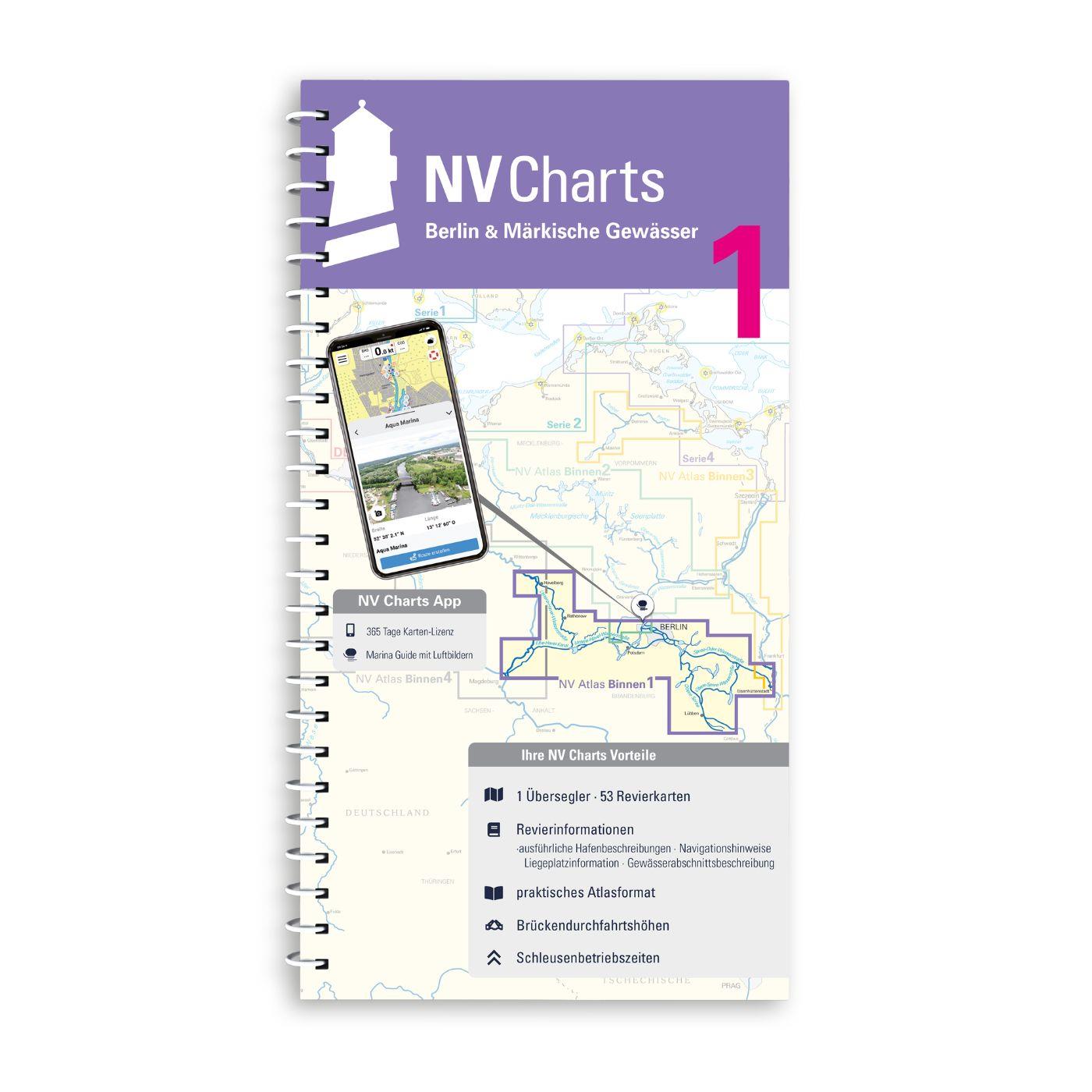
NV Binnen 1 Kombipack Berlin & Märkische Gewässer
Whoever wants to visit the capital Berlin from the water should not start this journey without the Inland Volume 1 Berlin & Märkische Gewässer by NV Charts. In addition to Berlin this ch

€44.99*
Gebietsvorschau für NV Binnen 4 Kombipack Elbe & Kanalverbindungen öffnen
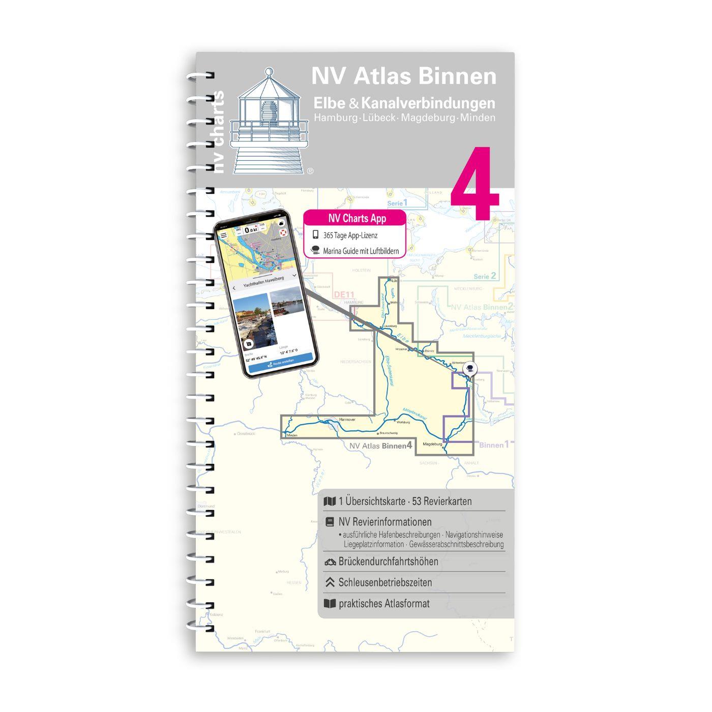
NV Binnen 4 Kombipack Elbe & Kanalverbindungen
The most exciting waterways can be found in Inland Volume 4 of NV Charts. The Elbe the Elbe-Lübeck Canal the Mittelland Canal and the Elbe-Seiten Canal are all highly frequented waterways with plenty

€44.99*
Gebietsvorschau für NV Charts Atlantic ATL2 - Vigo to Gibraltar öffnen
NV Charts Atlantic ATL2 - Vigo to Gibraltar
With the NV Charts Atlantic Atlas  ATL2 you can navigate reliably from the Spanish Atlantic coast to the Strait of Gibraltar. Thanks to the clear layout, the recreational skipper can quickly

€74.99*
Gebietsvorschau für NV Binnen 3 Kombipack Nördliche Oder & Peene öffnen
NV Binnen 3 Kombipack Nördliche Oder & Peene
Whoever wants to travel along the German-Polish border down the Oder to historic Szczecin should set out on the journey with Inland Volume 3 of NV Charts. From Eisenhüttenstadt downstream to the Szcze

€44.99*
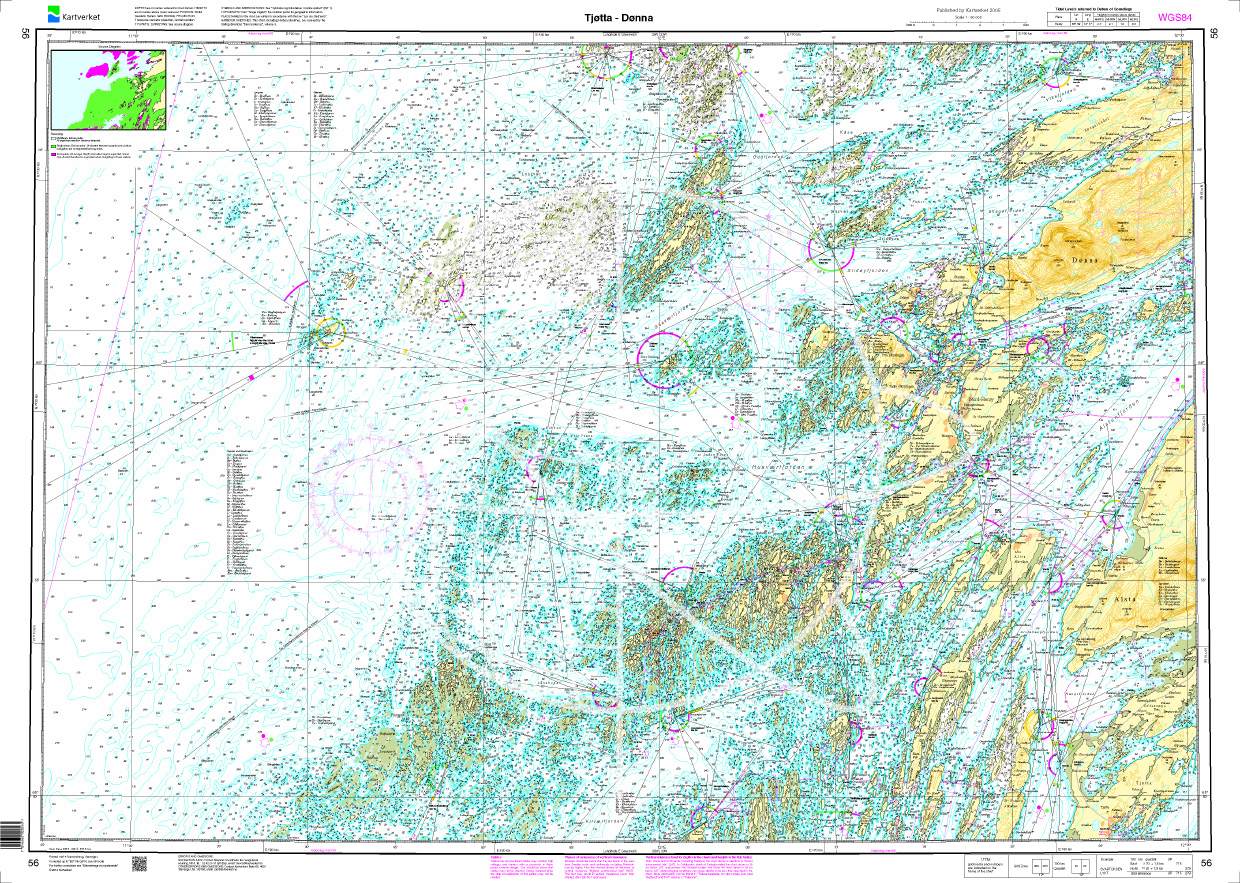
Gebietsvorschau für Norwegen N 56 Atlantik von Tjøtta bis Dønna öffnen
Norwegen N 56 Atlantik von Tjøtta bis Dønna
The Sea Chart N 56 covers the coast and offshore islands on the northern Norwegian coast from Tjøtta to Dønna. Detailed nautical chart at a scale of 1:50000. As an additional chart we recommend N 

€27.70*

Reviews

0 of 0 reviews

Leave a review!

Share your experiences with other customers.


Gebietsvorschau für NV Charts Pilot 5 North Atlantic Ocean - Gibraltar to Caribbean, Atlantic Islands öffnen
NV Charts Pilot 5 North Atlantic Ocean - Gibraltar to Caribbean, Atlantic Islands
The NV Charts Pilot 5 is a folding chart that you absolutely need for planning a transatlantic passage. The west coast of Spain, Portugal, Morocco and the Canary Islands are covered in this oversailer

€24.99*
Gebietsvorschau für NV Charts Spain ES2 Balearic Islands · Ibiza to Menorca öffnen
NV Charts Spain ES2 Balearic Islands · Ibiza to Menorca
With the NV Charts Atlas ES2 you have the perfect companion for the Balearic Islands. Thanks to the clear layout, the recreational skipper can quickly find approaches, harbours and anchorages and is i

€64.99*
Gebietsvorschau für NV Charts Atlantic ATL2 - Vigo to Gibraltar öffnen
NV Charts Atlantic ATL2 - Vigo to Gibraltar
With the NV Charts Atlantic Atlas  ATL2 you can navigate reliably from the Spanish Atlantic coast to the Strait of Gibraltar. Thanks to the clear layout, the recreational skipper can quickly

€74.99*
Gebietsvorschau für NV Charts Pilot 4 - Mediterranean West, Gibraltar to Sicily Adriatic Sea öffnen
NV Charts Pilot 4 - Mediterranean West, Gibraltar to Sicily Adriatic Sea
The Pilot 4 is ideal as a planning chart for traveling the western Mediterranean. The east coast of Spain, the south coast of France and Italy are covered in this oversailor. You can also find the Bal

€24.99*
Gebietsvorschau für NV Charts Spain ES1 - Cabo San Antonio to Cabo Creus öffnen
NV Charts Spain ES1 - Cabo San Antonio to Cabo Creus
With the NV Charts Spain Atlas ES1 you can discover the Spanish Mediterranean coast from Cabo San Antonio to (almost) the French border. Thanks to the clear layout, recreational boaters can quickly fi

€64.99*