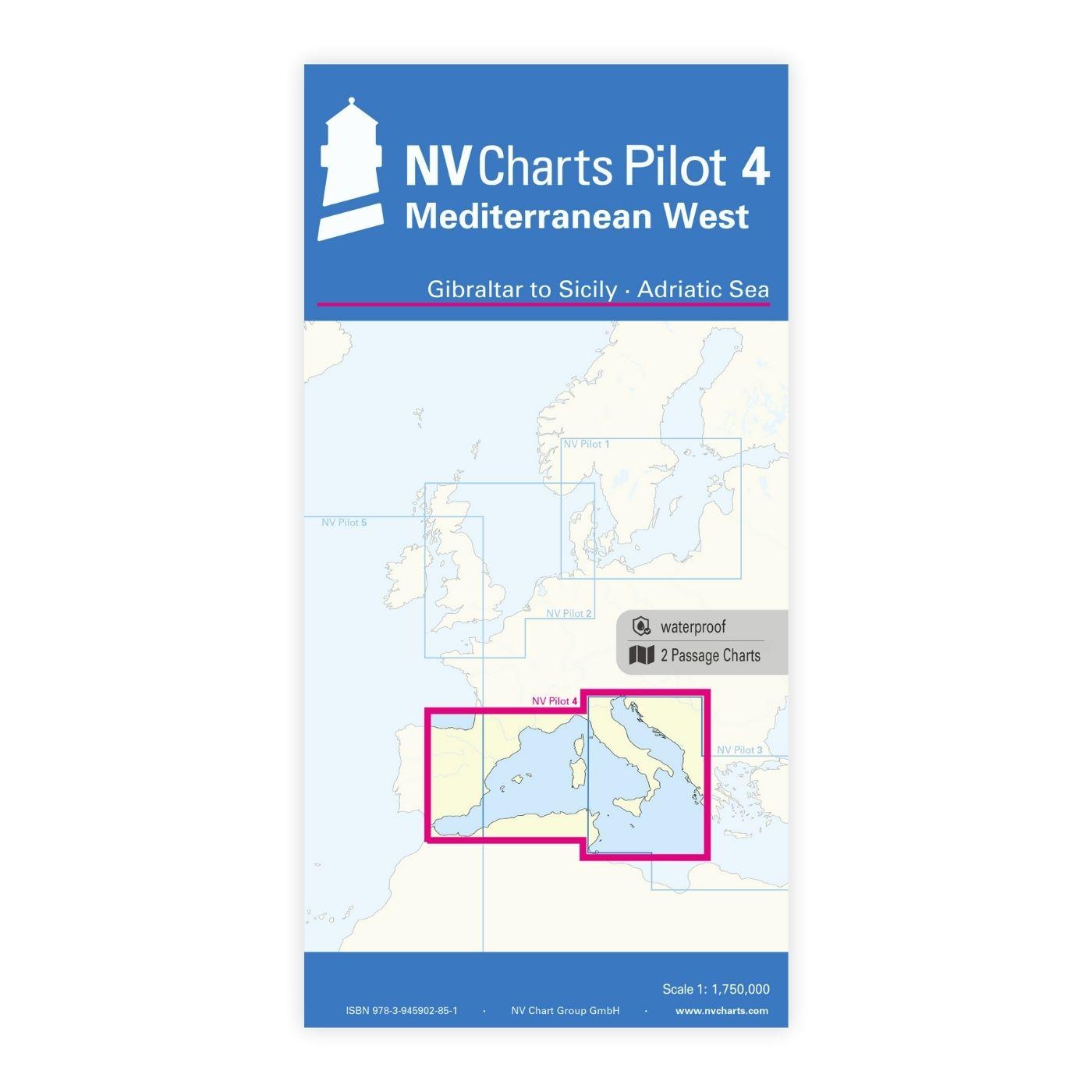
NV Charts Pilot 4 - Mediterranean West, Gibraltar to Sicily Adriatic Sea

Edition: 2024
Edition Date: 29.04.2024
Scale: 1:1.750.000

€24.99*


Product number: 2340

Description

The Pilot 4 is ideal as a planning chart for traveling the western Mediterranean. The east coast of Spain, the south coast of France and Italy are covered in this oversailor. You can also find the Balearic Islands, Corsica, Sardinia and Sicily there.

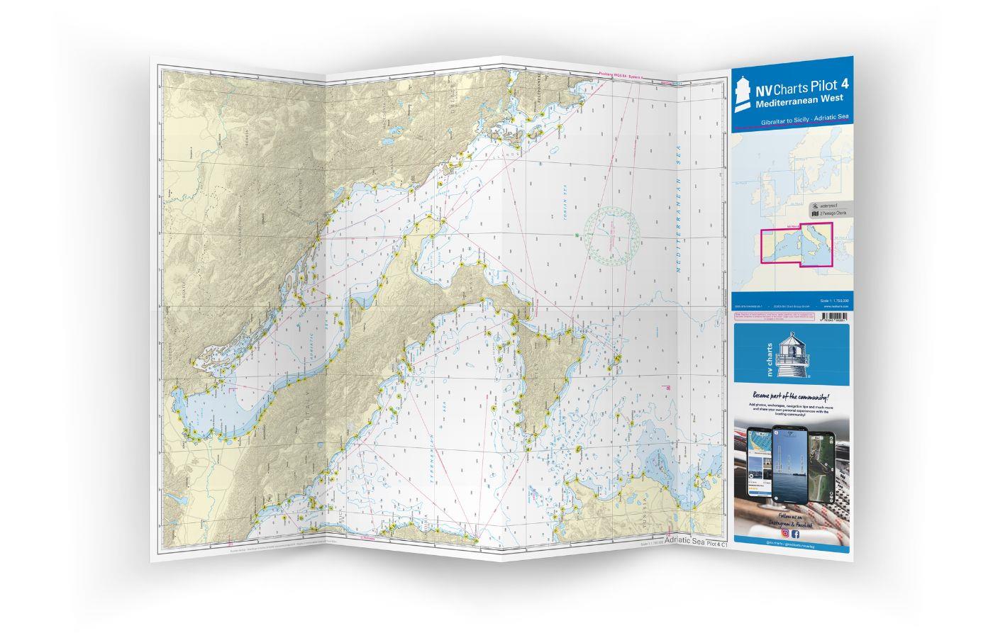
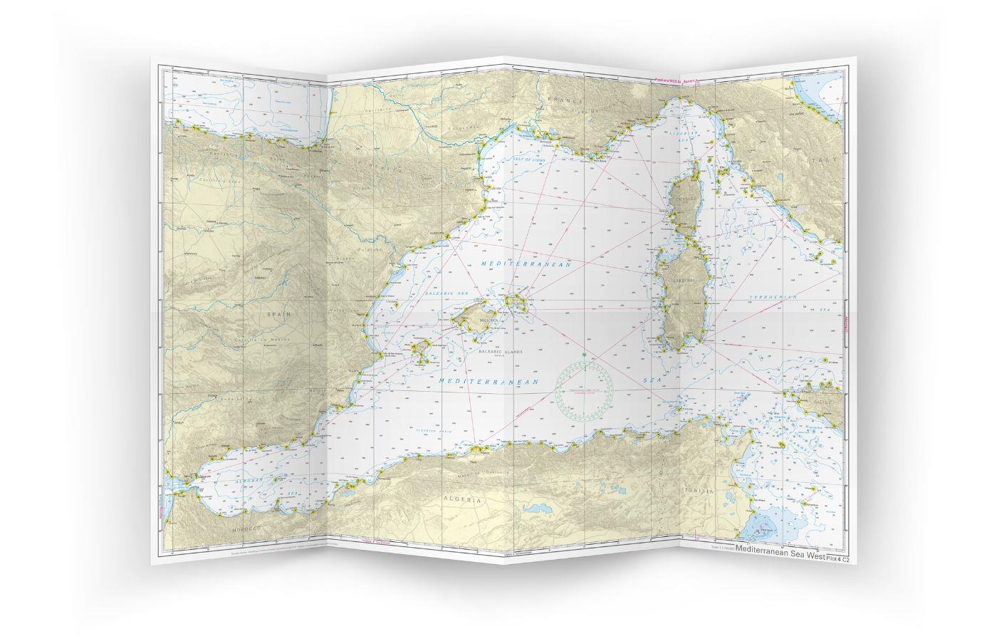
This folding chart consists of two overview charts:

Chart 1, scale 1: 175 million> Tire Sea, Adriatic Sea, Ionian Sea and waters south of Sicily to the coast of Tunisia.

Chart 2, scale 1: 1.75 million> western Mediterranean from Gibraltar to Palermo (Sicily)

The beacons and routes, including distances, that are important for planning the passage are shown on both charts. The terms are in English. The chart is in A1 format, folded approx. 15 x 30 cm.

Our recommendation:

In the Mediterranean we offer extensive coverage of detailed atlases for France, Spain and western Italy. Let us advise you in planning your trip!

Format: Plano & Einzelkarten
Region: Balearen, Mittelmeer West, Mittelmeer
Area preview

With the help of our area preview, you can get an impression of which geographical region the product deals with or which areas a nautical chart covers.

Related products to this item

Related products to this item

Gebietsvorschau für NV Charts Pilot 3 Mediterranean East, Sicily to Greece Adriatic Sea öffnen
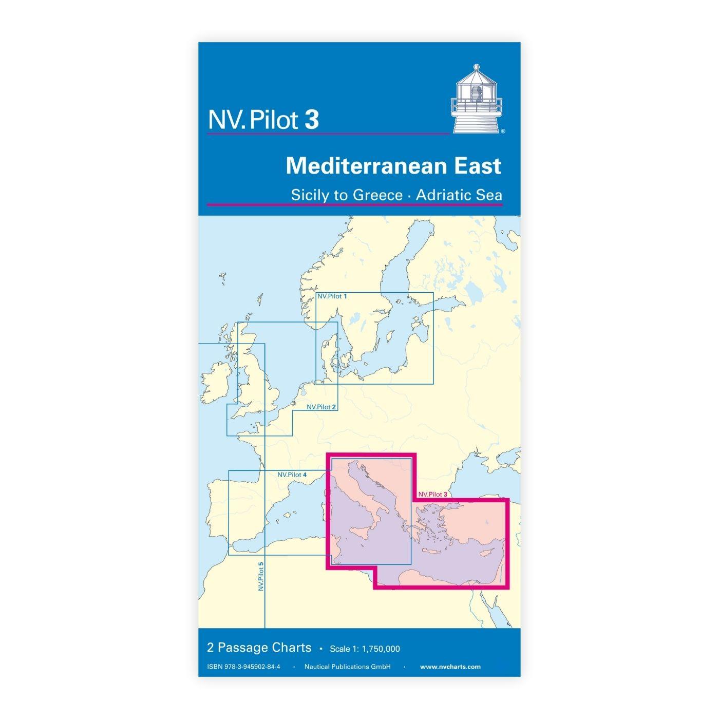
NV Charts Pilot 3 Mediterranean East, Sicily to Greece Adriatic Sea
The Pilot 3 is suitable as a planning chart for cruises in the eastern part of the Mediterranean. The coasts of Croatia and Greece are completely covered. In addition, the east coast of Italy is compl

€24.99*
Gebietsvorschau für NV Charts Pilot 5 North Atlantic Ocean - Gibraltar to Caribbean, Atlantic Islands öffnen
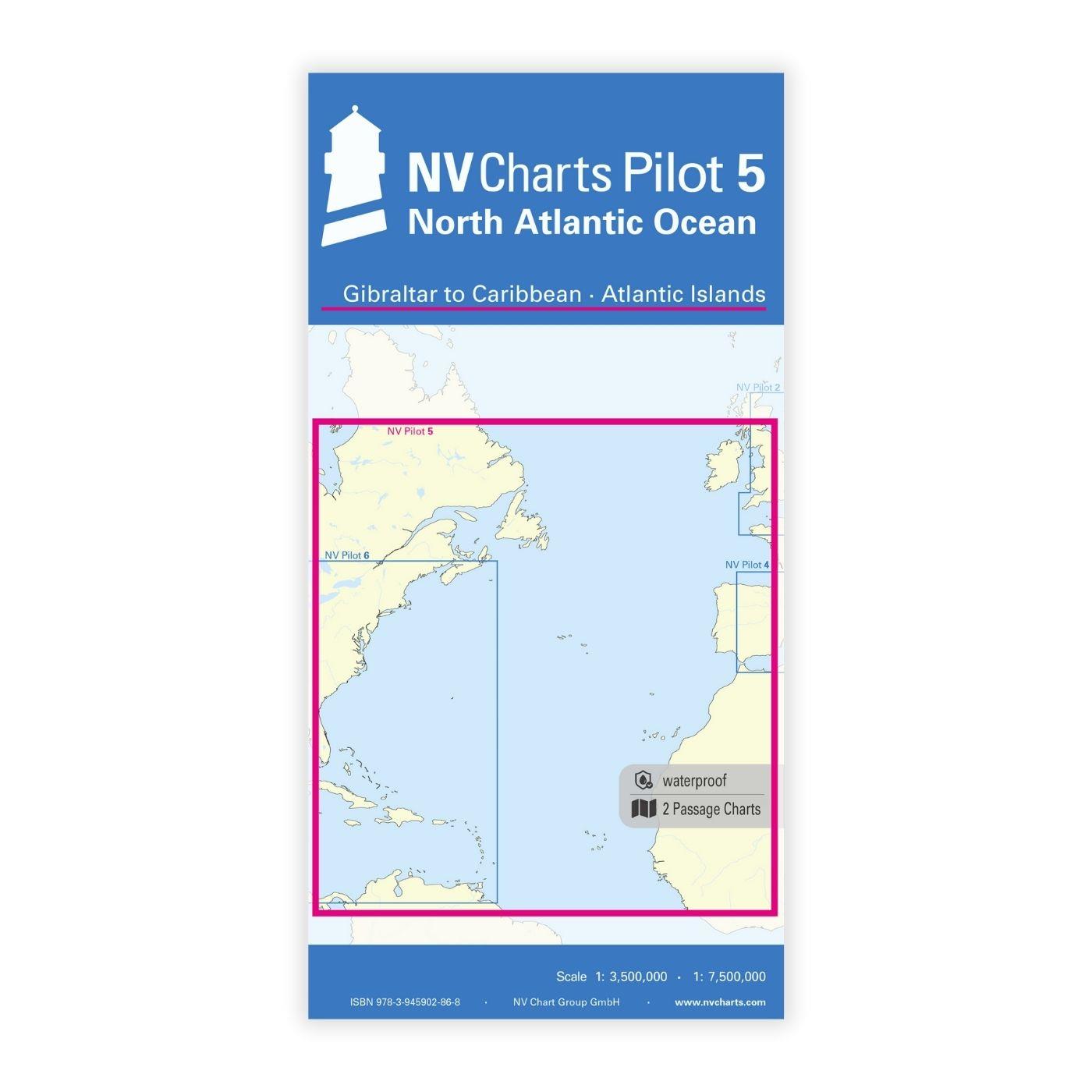
NV Charts Pilot 5 North Atlantic Ocean - Gibraltar to Caribbean, Atlantic Islands
The NV Charts Pilot 5 is a folding chart that you absolutely need for planning a transatlantic passage. The west coast of Spain, Portugal, Morocco and the Canary Islands are covered in this oversailer

€24.99*
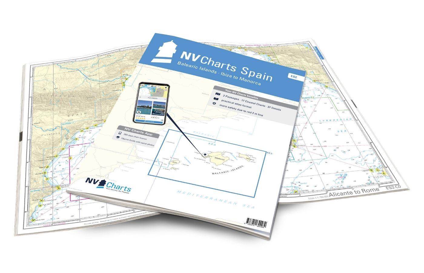
Gebietsvorschau für NV Charts Spain ES2 Balearic Islands · Ibiza to Menorca öffnen
NV Charts Spain ES2 Balearic Islands · Ibiza to Menorca
With the NV Charts Atlas ES2 you have the perfect companion for the Balearic Islands. Thanks to the clear layout, the recreational skipper can quickly find approaches, harbours and anchorages and is i

€64.99*
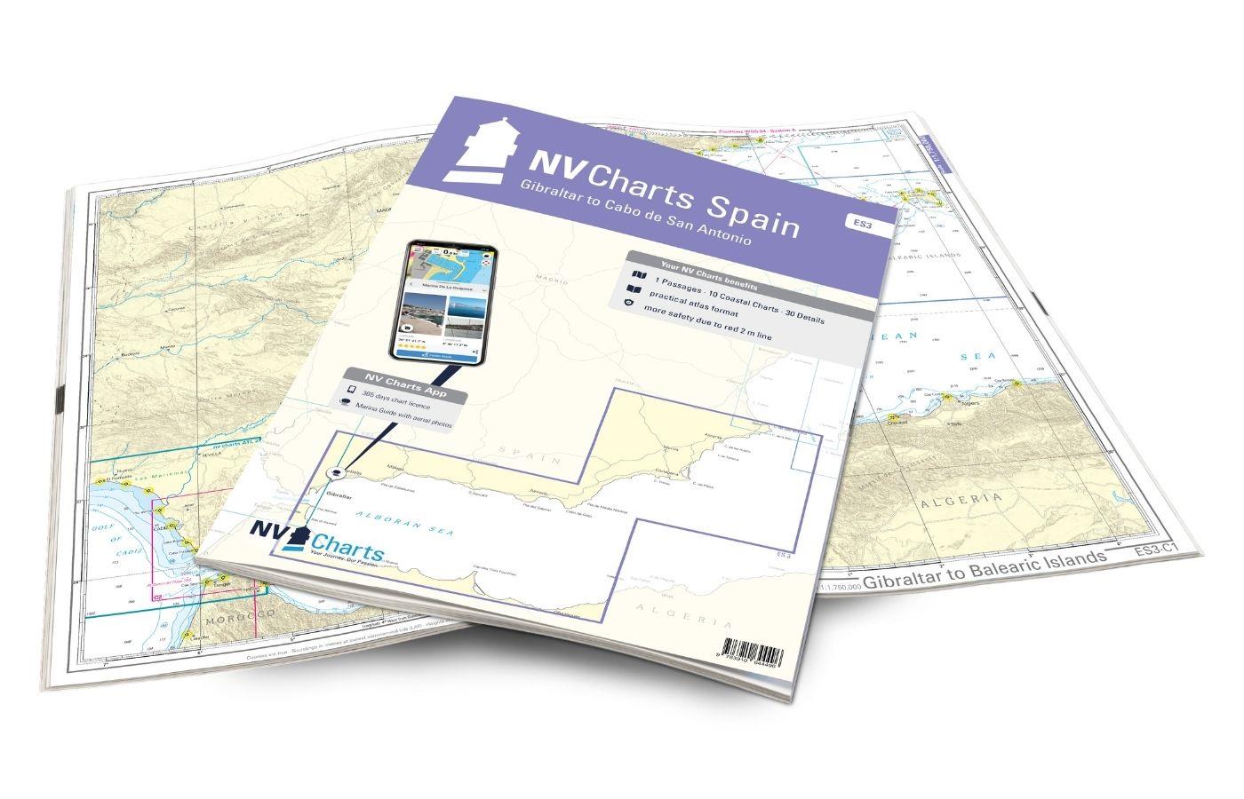
Gebietsvorschau für NV Charts Spain ES3 - Gibraltar to Cabo de San Antonio öffnen
NV Charts Spain ES3 - Gibraltar to Cabo de San Antonio
With the NV Charts Spain Atlas ES3 takes you from the Strait of Gibraltar to Cabo de San Antonio. Thanks to the clear layout, the recreational skipper can quickly find approaches, harbours and anchora

€64.99*
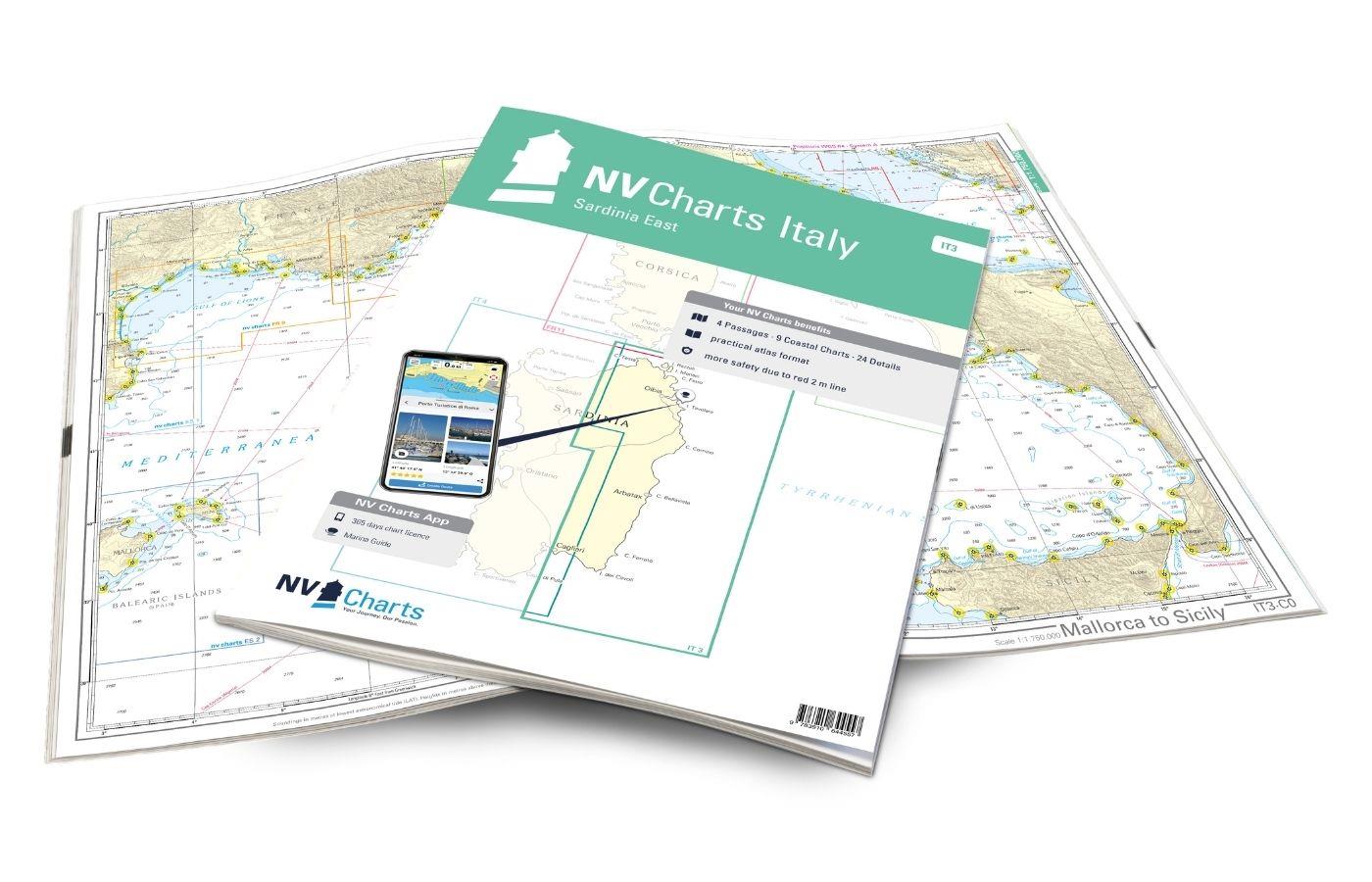
Gebietsvorschau für NV Charts Italy IT3: Sardinia East öffnen
NV Charts Italy IT3: Sardinia East
The NV Charts Atlas IT3 accompanies you on the east coast of Sardinia . Thanks to the clear layout, recreational boaters can quickly find approaches, harbours and anchorages and are informed of import

€64.99*
Gebietsvorschau für NV Charts Spain ES1 - Cabo San Antonio to Cabo Creus öffnen
NV Charts Spain ES1 - Cabo San Antonio to Cabo Creus
With the NV Charts Spain Atlas ES1 you can discover the Spanish Mediterranean coast from Cabo San Antonio to (almost) the French border. Thanks to the clear layout, recreational boaters can quickly fi

€64.99*

Reviews

0 of 0 reviews

Leave a review!

Share your experiences with other customers.


Gebietsvorschau für NV Charts Spain ES3 - Gibraltar to Cabo de San Antonio öffnen
NV Charts Spain ES3 - Gibraltar to Cabo de San Antonio
With the NV Charts Spain Atlas ES3 takes you from the Strait of Gibraltar to Cabo de San Antonio. Thanks to the clear layout, the recreational skipper can quickly find approaches, harbours and anchora

€64.99*
Gebietsvorschau für NV Charts Italy IT4 - Sardinia West öffnen
NV Charts Italy IT4 - Sardinia West
The NV Charts Italy IT4 accompanies you to the west coast of Sardinia . Thanks to the clear layout, recreational boaters can quickly find approaches, harbours and anchorages and are informed

€64.99*
Gebietsvorschau für NV Charts Atlantic ATL1 - English Channel to Vigo öffnen
NV Charts Atlantic ATL1 - English Channel to Vigo
With the NV Charts Atlantic Atlas ATL1 you have a reliable companion for the Bay of Biscay from Falmouth to Vigo at your side. Thanks to the clear layout, the recreational skipper can quickly find app

€74.99*
Gebietsvorschau für NV Charts Pilot 5 North Atlantic Ocean - Gibraltar to Caribbean, Atlantic Islands öffnen
NV Charts Pilot 5 North Atlantic Ocean - Gibraltar to Caribbean, Atlantic Islands
The NV Charts Pilot 5 is a folding chart that you absolutely need for planning a transatlantic passage. The west coast of Spain, Portugal, Morocco and the Canary Islands are covered in this oversailer

€24.99*
Gebietsvorschau für Carta Della Laguna Di Venezia öffnen
Carta Della Laguna Di Venezia
Carta Della Laguna Di Venezia by Pietro MariuttiVery clearly laid out and informative nautical chart for the Venice Lagoon and our recommendation for your trip.The map of the Venice Lagoon, scale 1:25

€29.90*
Gebietsvorschau für NV Charts Italy IT1 - Menton to Elba öffnen
NV Charts Italy IT1 - Menton to Elba
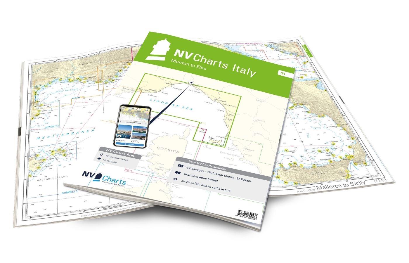
The NV Charts Italy Atlas IT1 covers the dreamlike Italian Riviera from Menton to Elba . Thanks to the clear layout, the recreational skipper can quickly find approaches, harbours and anchorages and i

€64.99*
Gebietsvorschau für NV Charts Pilot 3 Mediterranean East, Sicily to Greece Adriatic Sea öffnen
NV Charts Pilot 3 Mediterranean East, Sicily to Greece Adriatic Sea
The Pilot 3 is suitable as a planning chart for cruises in the eastern part of the Mediterranean. The coasts of Croatia and Greece are completely covered. In addition, the east coast of Italy is compl

€24.99*
Gebietsvorschau für NV Charts France FR11 - Corsica öffnen
NV Charts France FR11 - Corsica
The NV Charts Atlas FR11 covers the beautiful island of Corsica completely. Thanks to the clear layout, recreational boaters can quickly find approaches, harbours and anchorages and are informed of na

€64.99*
Gebietsvorschau für LAG 01 Golfo di Trieste öffnen
LAG 01 Golfo di Trieste
Golfo di Trieste. Maps of the lagoons between Grado and the Po Delta folded to a handy size (approx. 17x25 cm). The maps include the rivers canals ports and other information.

€9.80*
Gebietsvorschau für NV Charts Spain ES2 Balearic Islands · Ibiza to Menorca öffnen
NV Charts Spain ES2 Balearic Islands · Ibiza to Menorca
With the NV Charts Atlas ES2 you have the perfect companion for the Balearic Islands. Thanks to the clear layout, the recreational skipper can quickly find approaches, harbours and anchorages and is i

€64.99*
Gebietsvorschau für NV Charts Atlantic ATL2 - Vigo to Gibraltar öffnen
NV Charts Atlantic ATL2 - Vigo to Gibraltar
With the NV Charts Atlantic Atlas  ATL2 you can navigate reliably from the Spanish Atlantic coast to the Strait of Gibraltar. Thanks to the clear layout, the recreational skipper can quickly

€74.99*
Gebietsvorschau für NV Charts France FR10 - Toulon to Menton, Monaco öffnen
NV Charts France FR10 - Toulon to Menton, Monaco
The NV Charts Atlas FR10 is your reliable partner for the Côte d'Azur . Thanks to the clear layout, the sports skipper can quickly find approaches, harbours and anchorages and is informed of

€64.99*