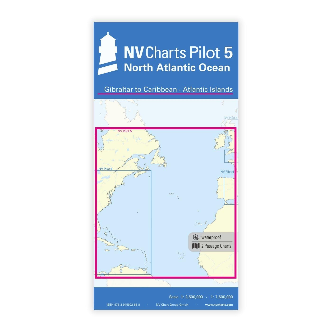
NV Charts Pilot 5 North Atlantic Ocean - Gibraltar to Caribbean, Atlantic Islands

Edition: 2024
Edition Date: 29.04.2024
Scale: 1:3.500.000

€24.99*


Product number: 2350

Description

The NV Charts Pilot 5 is a folding chart that you absolutely need for planning a transatlantic passage. The west coast of Spain, Portugal, Morocco and the Canary Islands are covered in this oversailer. On the other side is the east coast of Canada and the USA, but also Cuba and the Caribbean cannot be missed. 


This folding chart consists of two overview charts:

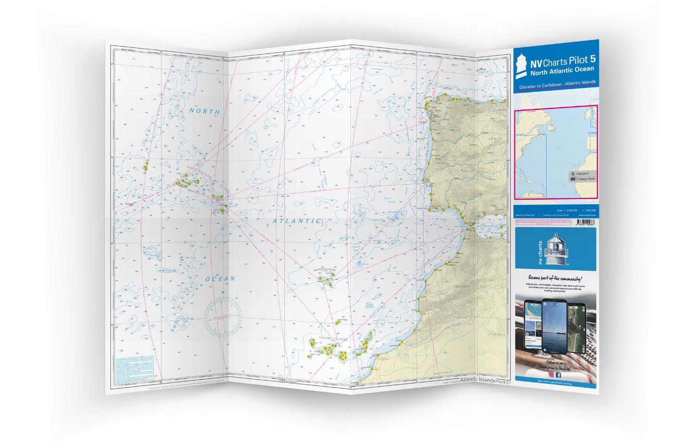
Chart 1, scale 1: 1.35 million> East coast of the Atlantic, from La Coruna to the Canary Islands and out to and including the Azores

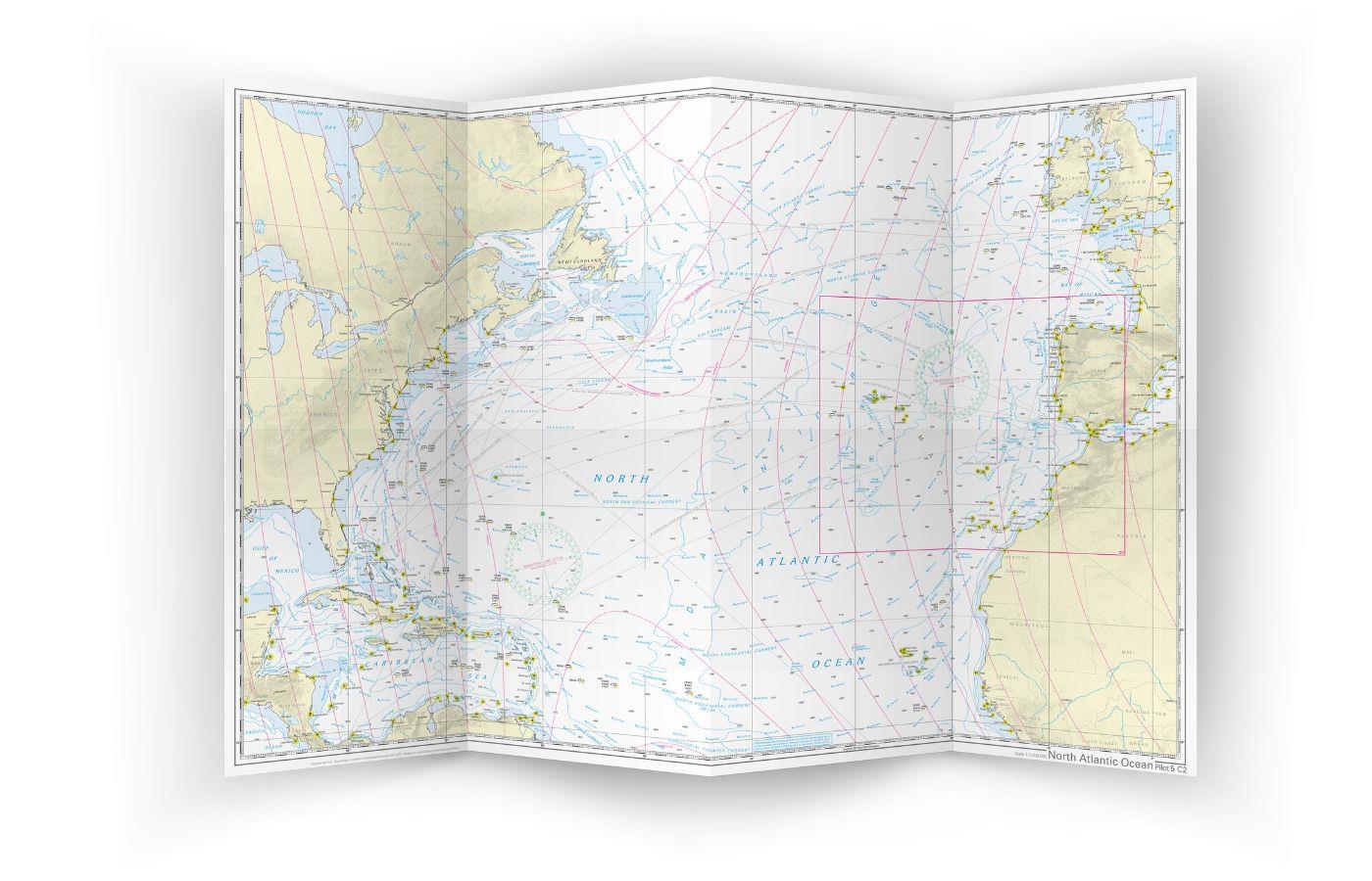
Chart 2, scale 1: 1.75 million> the entire North Atlantic from 10 ° to 53.5 ° North, including the Caribbean Sea, Antilles Arc, east coast of North America to Newfoundland and the Atlantic coast of Europe and Africa from Ireland to Sierra Leone

Both charts have drawn in the beacons and ports of call necessary for planning the passage. The North Atlantic currents are marked on the charts with direction and strength and are supplemented by short explanations. The usual routes including the distances are noted on the front as course lines, on the back the connections are shown as great circles. The terms are in English. The chart is in A1 format, folded approx. 15 x 30 cm. 

Our recommendation:

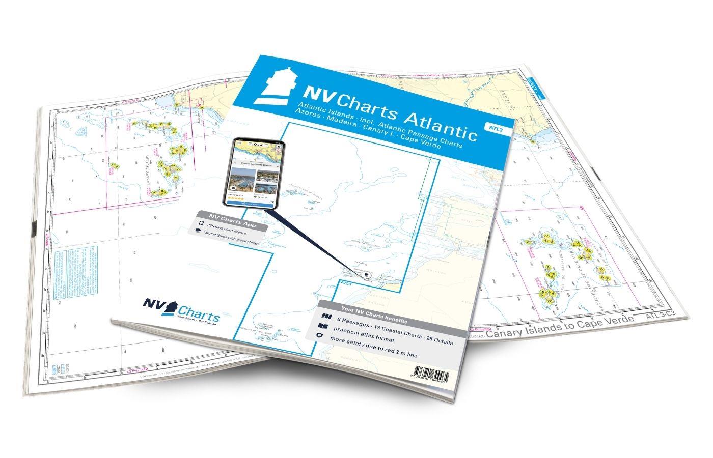
To plan a trip across the Atlantic more precisely, we recommend NV ATL3. This atlas in paper and digital is the perfect companion to get from Europe to America (and vice versa of course)!

Format: Plano & Einzelkarten
Region: Nord Amerika, Caribbean, Atlantik, Atlantische Inseln, Irland
Area preview

With the help of our area preview, you can get an impression of which geographical region the product deals with or which areas a nautical chart covers.

Related products to this item

Related products to this item

Gebietsvorschau für NV Charts Atlantic ATL3 - Atlantic Islands Azores - Madeira, Canary Islands, Cape Verde  öffnen
NV Charts Atlantic ATL3 - Atlantic Islands Azores - Madeira, Canary Islands, Cape Verde
If you want to embark on the great adventure of crossing the Atlantic, the NV Charts Atlantic ATL3 is ideally equipped. Thanks to the clear layout, the recreational skipper can quickly find approaches

€74.99*
Gebietsvorschau für NV Charts Pilot 4 - Mediterranean West, Gibraltar to Sicily Adriatic Sea öffnen
NV Charts Pilot 4 - Mediterranean West, Gibraltar to Sicily Adriatic Sea
The Pilot 4 is ideal as a planning chart for traveling the western Mediterranean. The east coast of Spain, the south coast of France and Italy are covered in this oversailor. You can also find the Bal

€24.99*
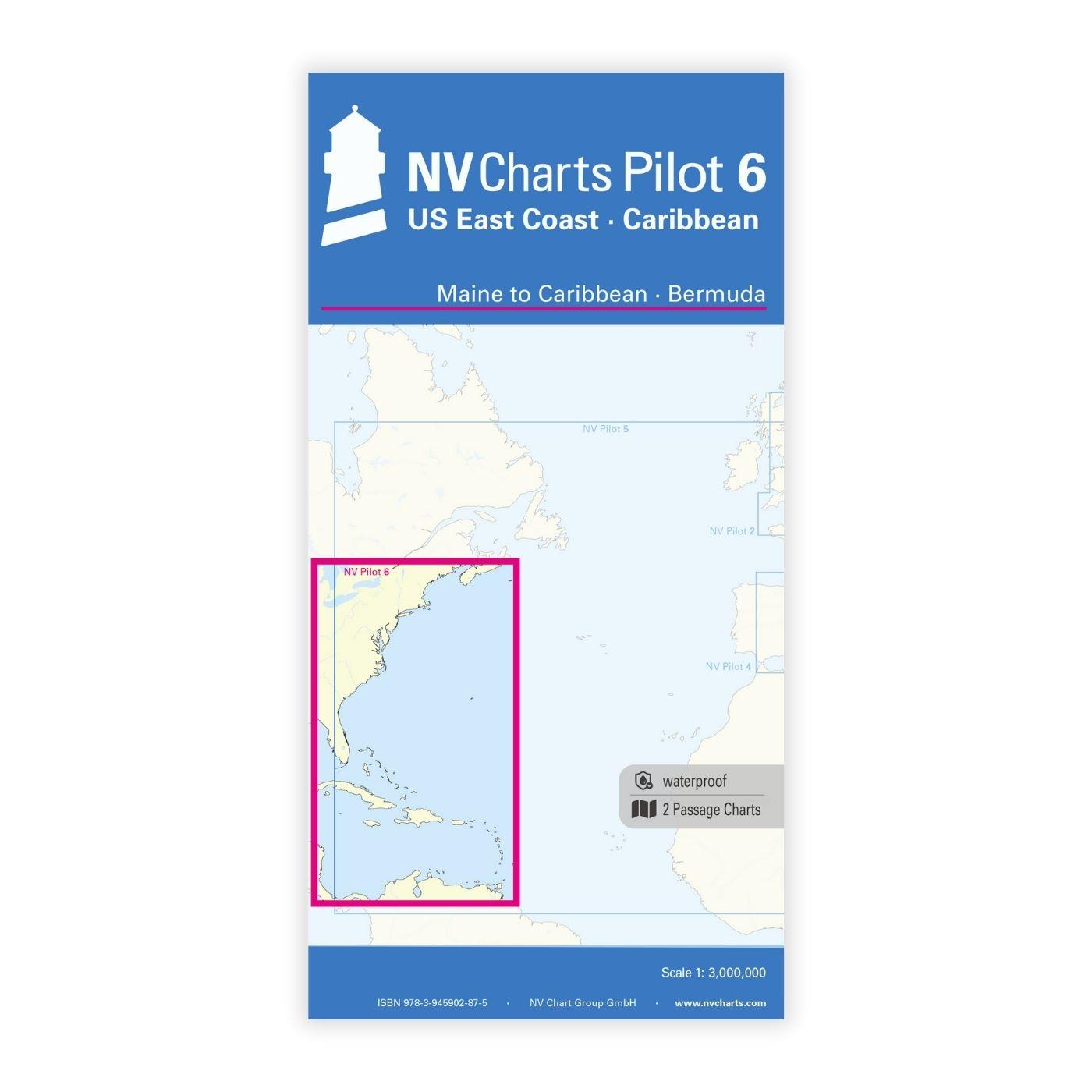
Gebietsvorschau für NV Charts Pilot 6 - US East Coast, Maine to Caribbean • Bermuda öffnen
NV Charts Pilot 6 - US East Coast, Maine to Caribbean • Bermuda
The Pilot 6 is a planning chart for the east coast of the USA. The Antilles, Cuba and the Caribbean Sea can also be found on this chart.This folding chart consists of two overview charts:Chart 1, scal

€24.99*
Gebietsvorschau für NV Charts Caribbean 12.3 - Windward Islands öffnen
NV Charts Caribbean 12.3 - Windward Islands
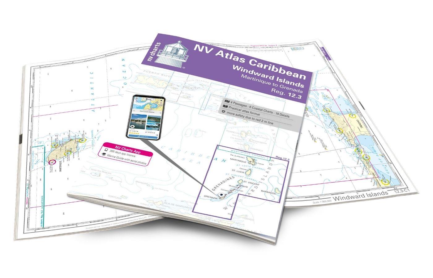
With the NV Charts Atlas Caribbean 12.3 you have the perfect companion for the Windward Islands from Martinique to Grenada at your side. Thanks to the clear layout, you can find approaches,

€94.99*
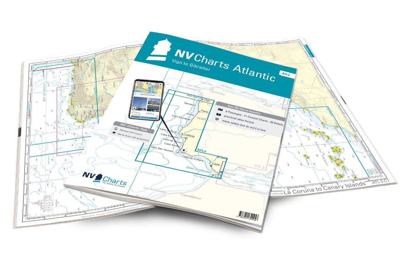
Gebietsvorschau für NV Charts Atlantic ATL2 - Vigo to Gibraltar öffnen
NV Charts Atlantic ATL2 - Vigo to Gibraltar
With the NV Charts Atlantic Atlas  ATL2 you can navigate reliably from the Spanish Atlantic coast to the Strait of Gibraltar. Thanks to the clear layout, the recreational skipper can quickly

€74.99*
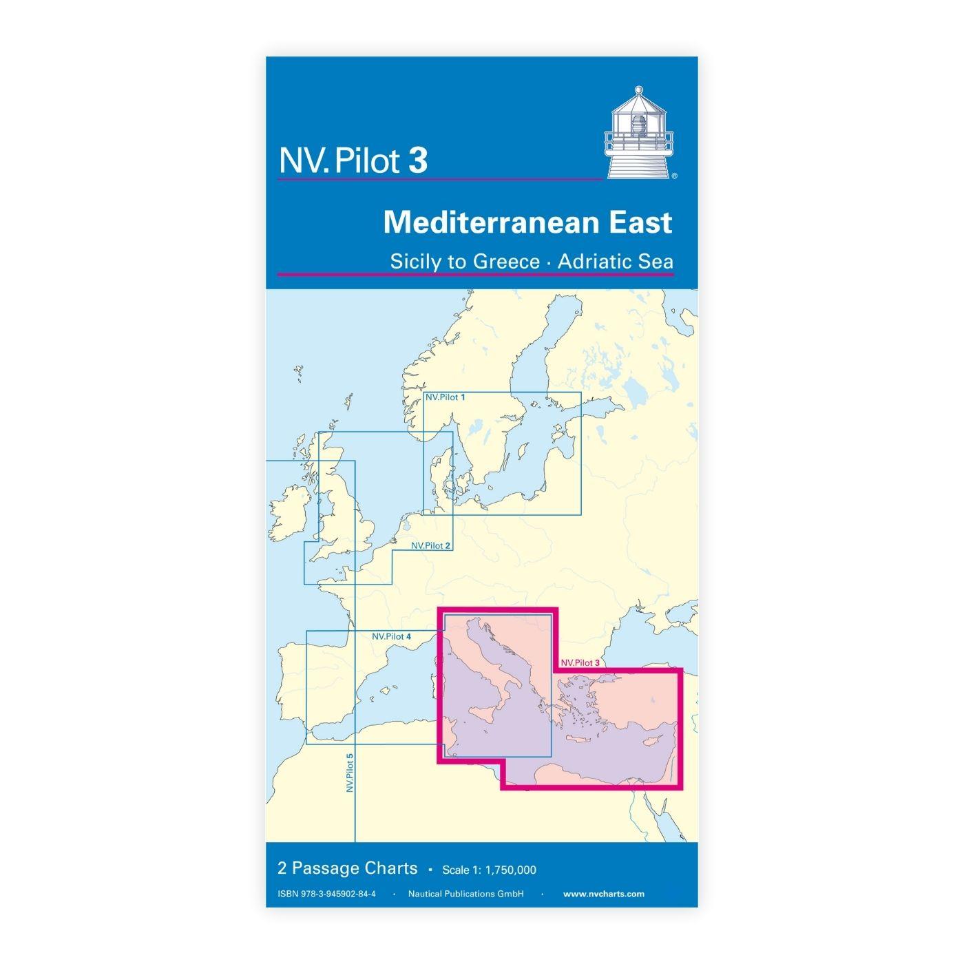
Gebietsvorschau für NV Charts Pilot 3 Mediterranean East, Sicily to Greece Adriatic Sea öffnen
NV Charts Pilot 3 Mediterranean East, Sicily to Greece Adriatic Sea
The Pilot 3 is suitable as a planning chart for cruises in the eastern part of the Mediterranean. The coasts of Croatia and Greece are completely covered. In addition, the east coast of Italy is compl

€24.99*

Reviews

0 of 0 reviews

Leave a review!

Share your experiences with other customers.


Gebietsvorschau für NV Charts France FR1 - Oostende à Cherbourg öffnen
NV Charts France FR1 - Oostende à Cherbourg
For water sports enthusiasts who want to explore the French canal coast, the NV Charts Atlas FR1 which accompanies you along the coast from Dunkirk (Dunkerque) to Cherbourg. Thanks to the clear layout

€64.99*
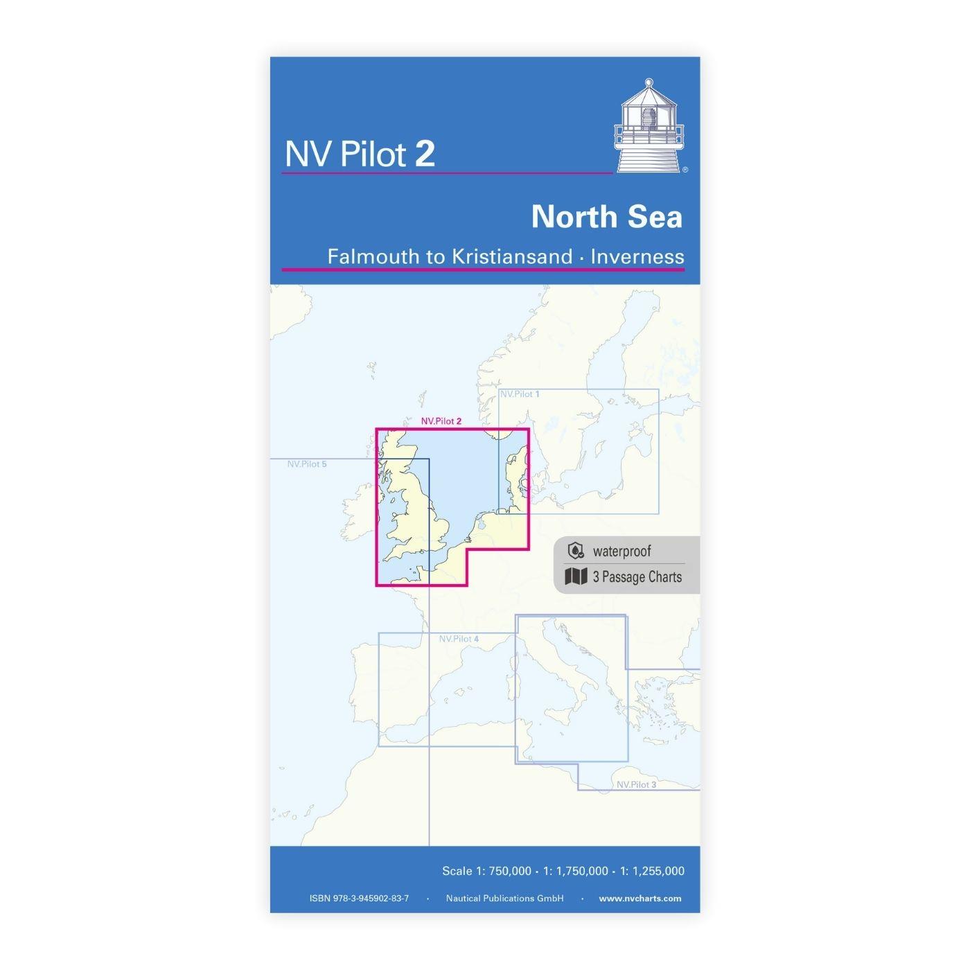
Gebietsvorschau für NV Charts Pilot 2, North Sea - Falmouth to Kristiansand - Inverness öffnen
NV Charts Pilot 2, North Sea - Falmouth to Kristiansand - Inverness
NV Charts Pilot 2, North Sea - Falmouth to Kristiansand - InvernessThe Pilot 2 from NV Charts is the planning chart that is needed for the North Sea. The west coast of Denmark, the German North Sea an

€24.99*
Gebietsvorschau für NV Charts France FR2 - Cherbourg à St. Malo öffnen
NV Charts France FR2 - Cherbourg à St. Malo
If you are drawn to the marvellous Channel Islands, the NV Charts Atlas FR2 is well advised! Thanks to the clear layout, the recreational skipper can quickly find approaches, harbours and anchorages a

€64.99*