NV Charts Pilot 6 - US East Coast, Maine to Caribbean • Bermuda

Edition: 2024
Edition Date: 29.04.2024
Scale: 1:3.000.000

€24.99*


Product number: 2360

Description

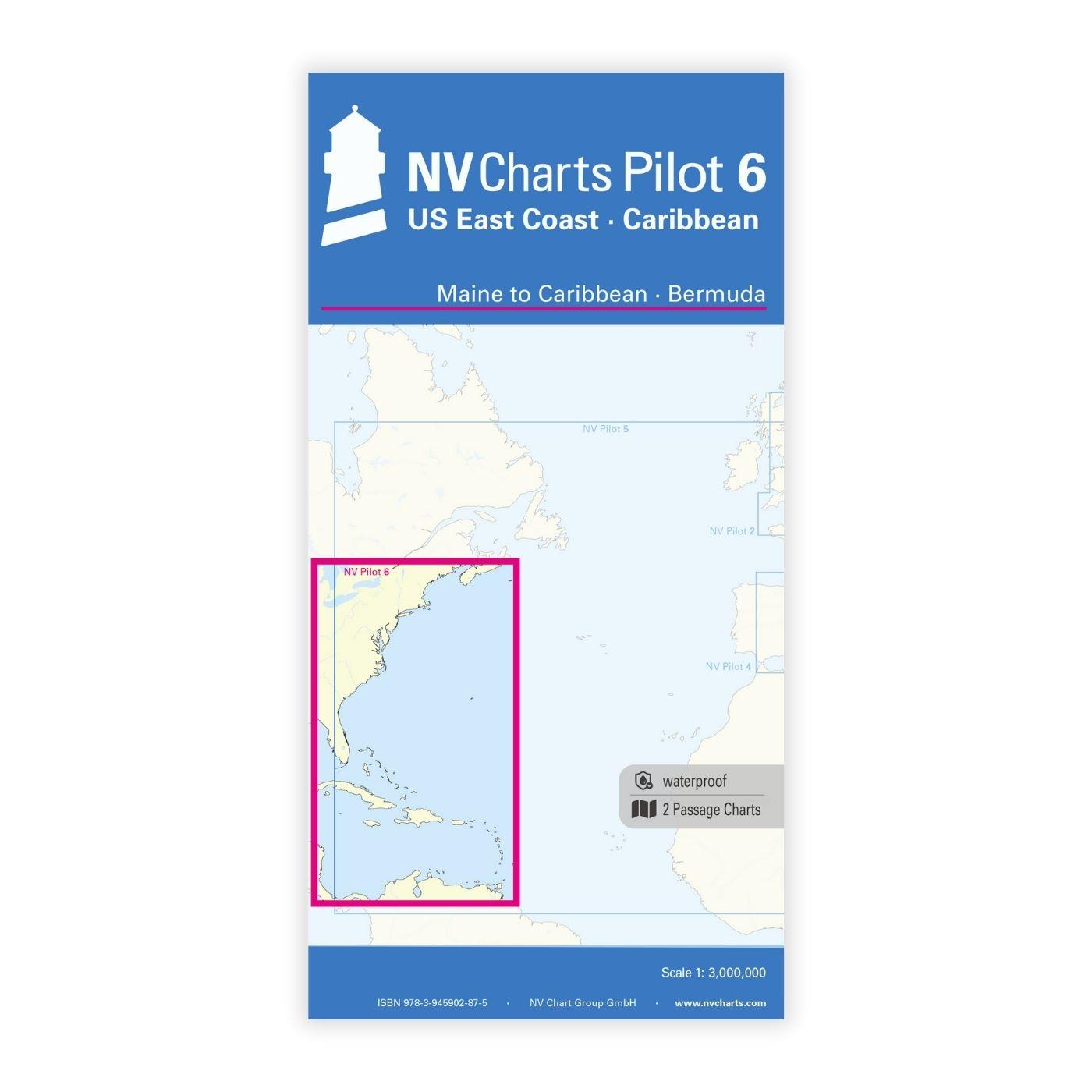
The Pilot 6 is a planning chart for the east coast of the USA. The Antilles, Cuba and the Caribbean Sea can also be found on this chart.

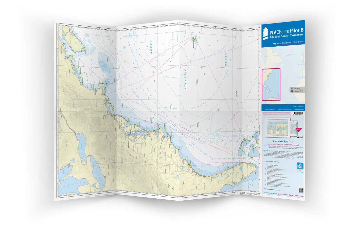
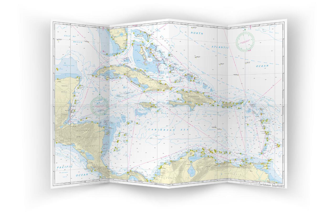
This folding chart consists of two overview charts:

Chart 1, scale 1: 1.3 million> Nova Scotia to Miami. Bermuda Islands are included.

Chart 2, scale 1: 1.3 million> Caribbean Sea with Bahamas, Antilles, north coast of South America, Panama, east coast of Central America to Cancun and the southern tip of Florida up to and including Fort Myers.

Both charts have drawn in the beacons and ports of call necessary for planning the passage. The North Atlantic currents are marked on the charts with direction and strength. The usual routes including the distances are noted as course lines. The terms are in English. The chart is in the A1 format, folded approx. 15 x 30 cm.

Our recommendation

For Florida and the Caribbean islands, we recommend our detailed atlases in paper and digital so that you are well equipped for your trip in these beautiful regions!

Format: Plano & Einzelkarten
Region: Nord Amerika, Caribbean, Atlantik
Area preview

With the help of our area preview, you can get an impression of which geographical region the product deals with or which areas a nautical chart covers.

Other customers bought also

Other customers bought also

Gebietsvorschau für NV Charts Atlantic ATL3 - Atlantic Islands Azores - Madeira, Canary Islands, Cape Verde  öffnen
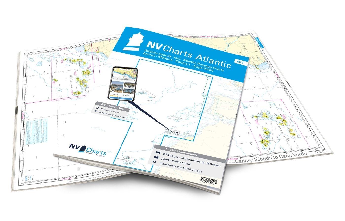
NV Charts Atlantic ATL3 - Atlantic Islands Azores - Madeira, Canary Islands, Cape Verde
If you want to embark on the great adventure of crossing the Atlantic, the NV Charts Atlantic ATL3 is ideally equipped. Thanks to the clear layout, the recreational skipper can quickly find approaches

€74.99*
Gebietsvorschau für NV Charts Caribbean 12.3 - Windward Islands öffnen
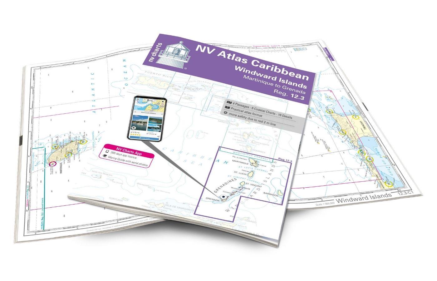
NV Charts Caribbean 12.3 - Windward Islands
With the NV Charts Atlas Caribbean 12.3 you have the perfect companion for the Windward Islands from Martinique to Grenada at your side. Thanks to the clear layout, you can find approaches,

€94.99*
Logbuch / Schiffstagebuch NV
The NV Logbook / Ships Diary with the officially prescribed page numbering is clear and practical.The clear division for navigation data with time course sm and remarks on the course of the voyage suc

€15.90*
Gebietsvorschau für NV Charts Caribbean 12.1 - Virgin Islands öffnen
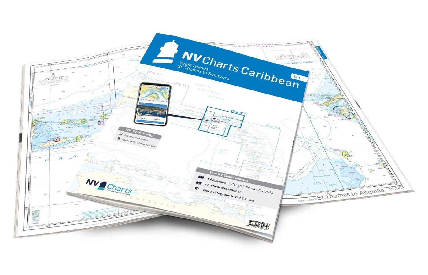
NV Charts Caribbean 12.1 - Virgin Islands
With the NV Charts Caribbean 12.1 you have the perfect companion for the Virgin Islands from St Thomas to Sombrero at your side. Thanks to the clear layout, you can find approaches, harbours and

€94.99*
Gebietsvorschau für NV Charts Caribbean 12.2 - Leeward Islands öffnen
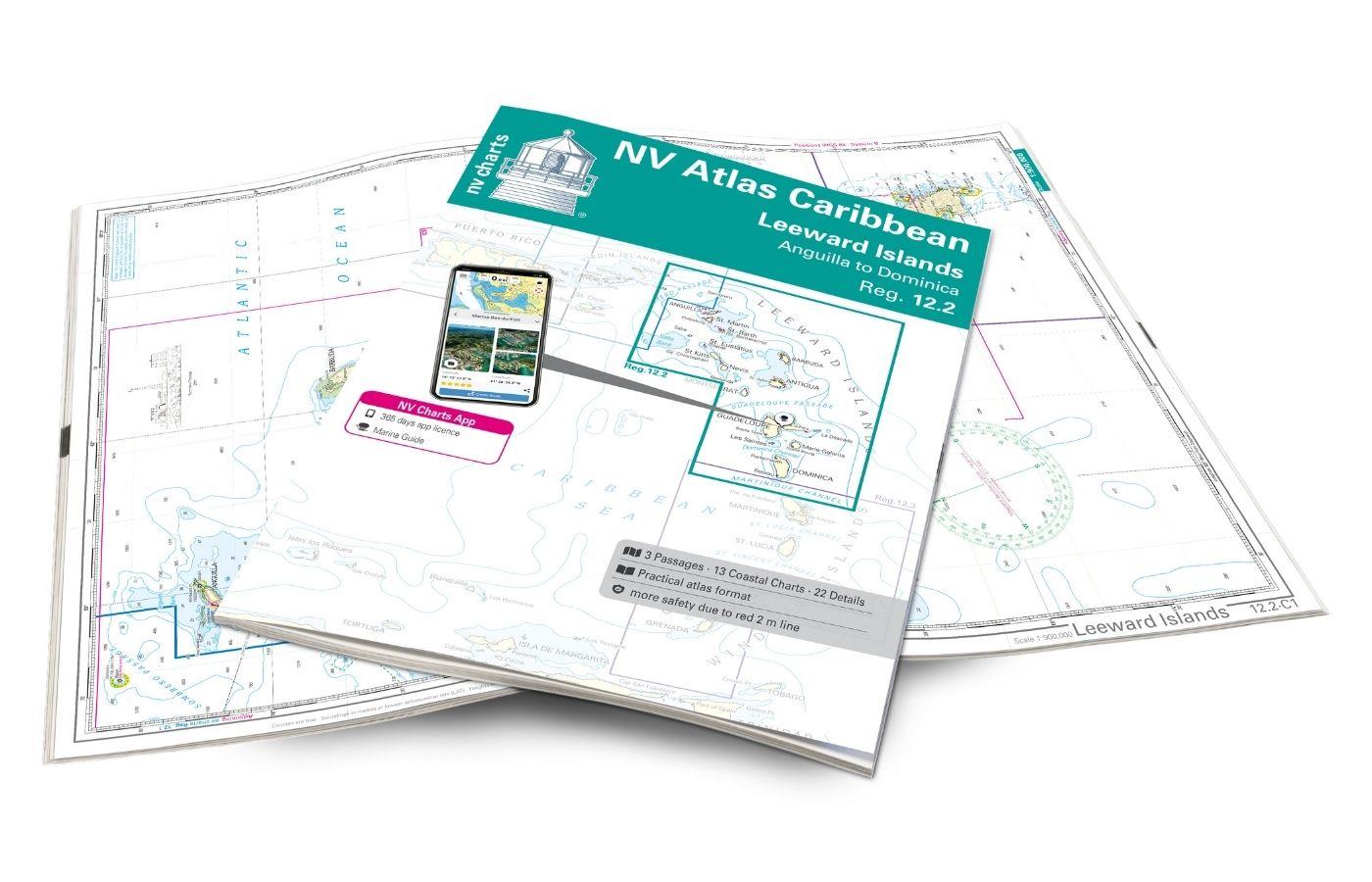
NV Charts Caribbean 12.2 - Leeward Islands
With the NV Charts Caribbean 12.2 Atlas  you have the perfect companion for the Leeward Islands from Anguilla to Dominica at your side. Thanks to the clear layout, you can find approaches, h

€94.99*

Reviews

0 of 0 reviews

Leave a review!

Share your experiences with other customers.


Gebietsvorschau für NV Atlas 9.3, Bahamas South East - Cat & Long Island - Rum Cay to Turks & Caicos öffnen
NV Atlas 9.3, Bahamas South East - Cat & Long Island - Rum Cay to Turks & Caicos
The NV Charts Bahamas 9.3 Atlas is the perfect companion for the southern Bahamas and the Turks and Caicos Islands . Thanks to the clear layout, the recreational skipper can quickly find approach

€74.99*
Gebietsvorschau für NV Charts Caribbean 12.3 - Windward Islands öffnen
NV Charts Caribbean 12.3 - Windward Islands
With the NV Charts Atlas Caribbean 12.3 you have the perfect companion for the Windward Islands from Martinique to Grenada at your side. Thanks to the clear layout, you can find approaches,

€94.99*
Gebietsvorschau für NV Charts Caribbean 11.1 - Puerto Rico - Dominican Republic - Spanish Virgin Islands öffnen
NV Charts Caribbean 11.1 - Puerto Rico - Dominican Republic - Spanish Virgin Islands
With the NV Charts Caribbean 11.1 Atlas you have the perfect companion for the Dominican Republic, Puerto Rico and the Spanish Virgin Islands at your side. Thanks to the clear layout, you can quickly

€94.99*
Lochs and lights
An illustrated book of the west coast of mainland Scotland by Patrick Roach and Gordon Buchanan.Lochs and Light' is an illustrated book of stunning aerial photographs of the west coast of Scotland, on

€14.80*
Gebietsvorschau für NV Charts Atlantic ATL1 - English Channel to Vigo öffnen
NV Charts Atlantic ATL1 - English Channel to Vigo
With the NV Charts Atlantic Atlas ATL1 you have a reliable companion for the Bay of Biscay from Falmouth to Vigo at your side. Thanks to the clear layout, the recreational skipper can quickly find app

€74.99*
Gebietsvorschau für NV Charts Pilot 5 North Atlantic Ocean - Gibraltar to Caribbean, Atlantic Islands öffnen
NV Charts Pilot 5 North Atlantic Ocean - Gibraltar to Caribbean, Atlantic Islands
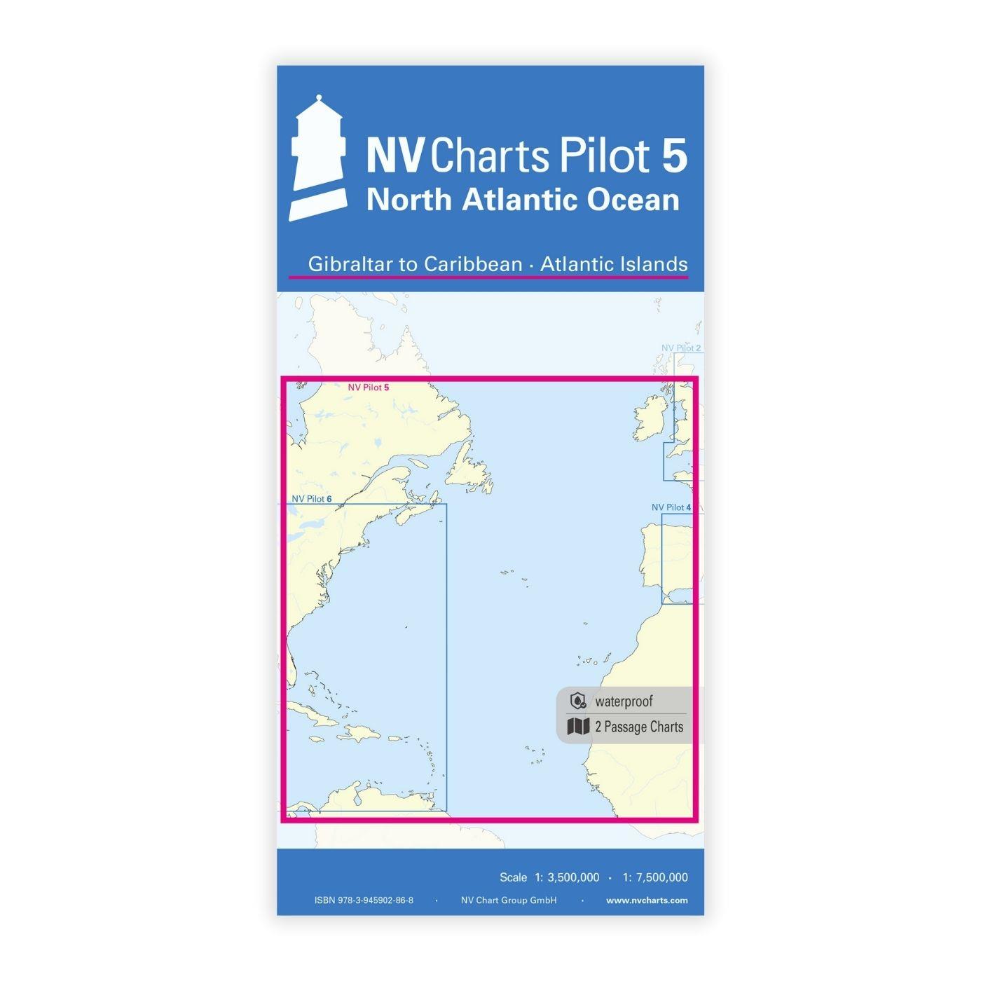
The NV Charts Pilot 5 is a folding chart that you absolutely need for planning a transatlantic passage. The west coast of Spain, Portugal, Morocco and the Canary Islands are covered in this oversailer

€24.99*
Gebietsvorschau für NV Atlas Florida Southeast Reg. 8.3 -  Lake Worth Inlet to Plantation Key öffnen
NV Atlas Florida Southeast Reg. 8.3 - Lake Worth Inlet to Plantation Key
Lake Worth Inlet to Plantation Key. 3 oversailers 20 coastal and 7 detailed maps with "Harbour & Anchorage Pilot". Format 30x42cm paperback. In English language. The set includes a download code fo

€49.00*
Gebietsvorschau für NV Charts Caribbean 12.2 - Leeward Islands öffnen
NV Charts Caribbean 12.2 - Leeward Islands
With the NV Charts Caribbean 12.2 Atlas  you have the perfect companion for the Leeward Islands from Anguilla to Dominica at your side. Thanks to the clear layout, you can find approaches, h

€94.99*
CCC Firth of Clyde
Firth of Clyde covers everything from the busy waters of the Firth of Clyde and River Clyde to the more remote areas of the wider estuary and connected lochs, including the protected and beautiful Kyl

€48.50*
Gebietsvorschau für NV Atlas Florida, East Reg. 8.2 - St. Augustine to Lake Worth Inlet öffnen
NV Atlas Florida, East Reg. 8.2 - St. Augustine to Lake Worth Inlet
St. Augustine to Lake Worth Inlet. 4 oversailers 23 coastal and 8 detailed maps with "Harbour & Anchorage Pilot". Format 30x42cm paperback. In English language. The set includes a download code for

€49.00*
Gebietsvorschau für NV Charts Atlantic ATL3 - Atlantic Islands Azores - Madeira, Canary Islands, Cape Verde  öffnen
NV Charts Atlantic ATL3 - Atlantic Islands Azores - Madeira, Canary Islands, Cape Verde
If you want to embark on the great adventure of crossing the Atlantic, the NV Charts Atlantic ATL3 is ideally equipped. Thanks to the clear layout, the recreational skipper can quickly find approaches

€74.99*
Gebietsvorschau für NV Charts Atlantic ATL2 - Vigo to Gibraltar öffnen
NV Charts Atlantic ATL2 - Vigo to Gibraltar
With the NV Charts Atlantic Atlas  ATL2 you can navigate reliably from the Spanish Atlantic coast to the Strait of Gibraltar. Thanks to the clear layout, the recreational skipper can quickly

€74.99*