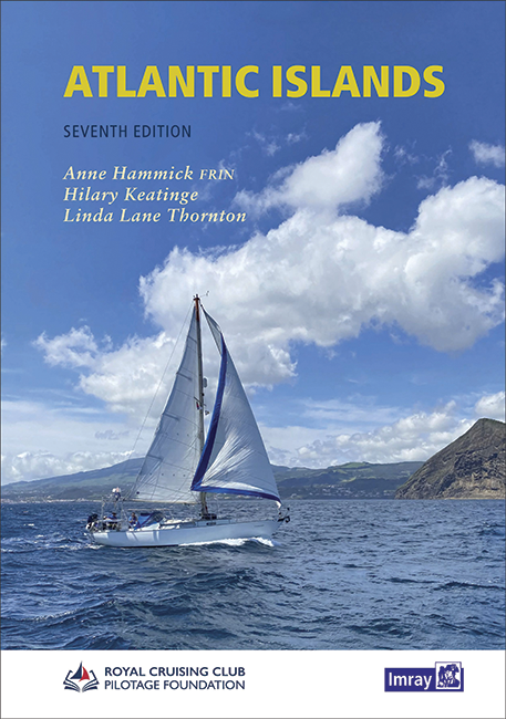
Atlantic Islands

Chart ID: IB0235-1

€58.00*

% €61.20* (5.23% saved)
 
 
Product number: 22366

Description

In the middle of the Atlantic lie many charming island groups. This cruising guide takes up these and covers the Azores Canaries Madeira Cape Verde Islands and Bermuda. It is also divided into these five chapters each of which provides a tourist introduction information on the climate and of course detailed descriptions of the ports. In addition to the port maps photos and aerial photographs of these ports are also included. Also in this work one will find useful contact details and regulations for the regions.


The Spanish Canary Islands are characterised by a diverse landscape as not every island is like the other. For example Lanzarote is known for its black lava rocks and beaches while Tenerife often brings to mind Pico del Teide the highest mountain in Spain.
Madeira the smaller Portuguese archipelago is also characterised by its mountainous landscape which even extends to the coast.  The Azores are also known for their diverse landscape so there is one or more islands appealing to every taste. The independent Cape Verde Islands are not yet a tourist magnet and are also very varied. Surrounded by coral reefs is Bermuda which lies in the middle of the Atlantic Ocean.


The book is entirely in English the last edition is from 2021.

Author: Keatinge, Hammick, Lane Thornton
Format: Hardcover / gebunden
Language: Englisch
Region: Europa, Atlantik
Area preview

With the help of our area preview, you can get an impression of which geographical region the product deals with or which areas a nautical chart covers.

Related products to this item

Related products to this item

New
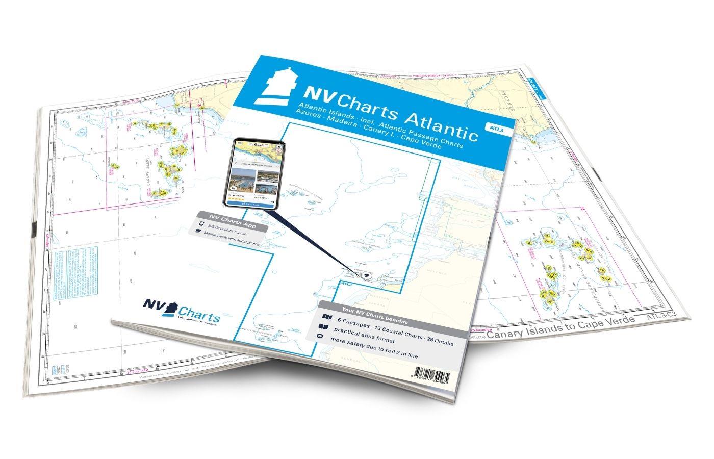
NV Charts Atlantic ATL3 - Atlantic Islands Azores - Madeira, Canary Islands, Cape Verde
If you want to embark on the great adventure of crossing the Atlantic, the NV Charts Atlantic ATL3 is ideally equipped. Thanks to the clear layout, the recreational skipper can quickly find approaches

€74.99*
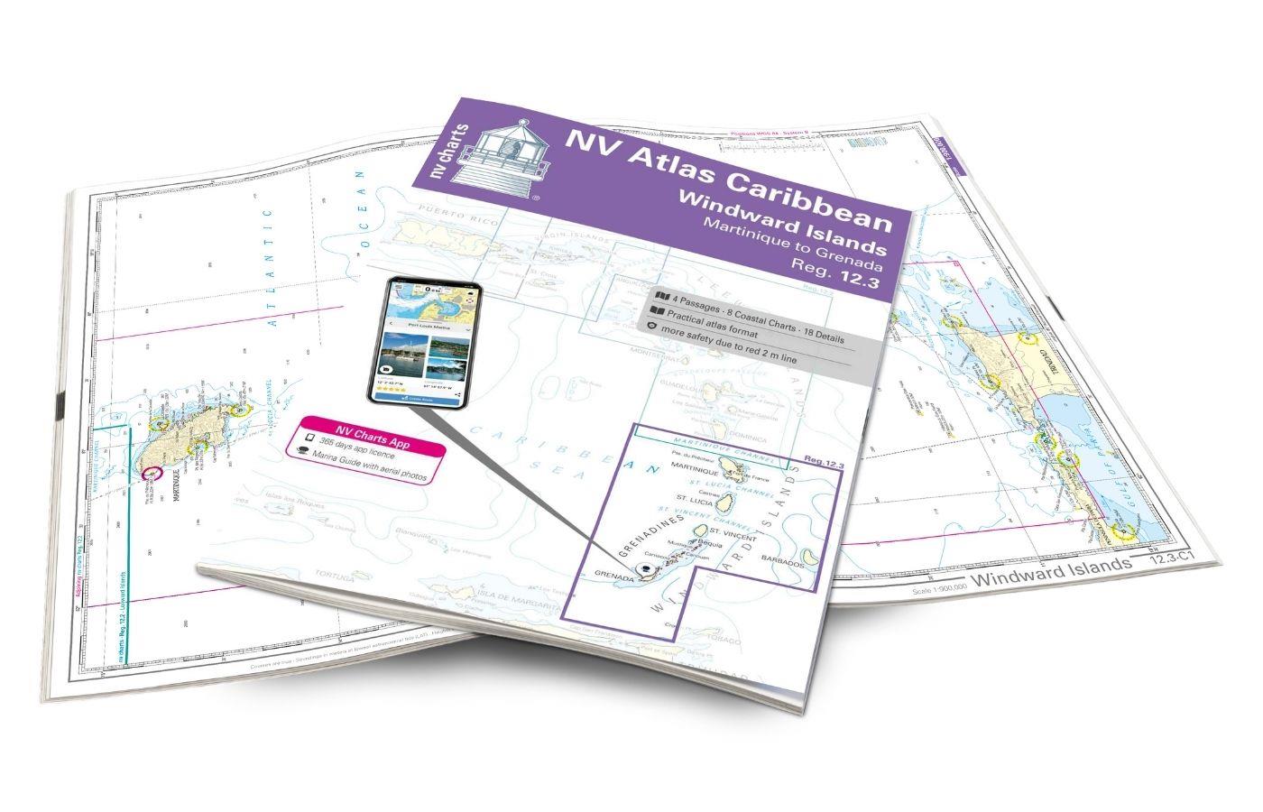
NV Charts Caribbean 12.3 - Windward Islands
With the NV Charts Atlas Caribbean 12.3 you have the perfect companion for the Windward Islands from Martinique to Grenada at your side. Thanks to the clear layout, you can find approaches,

€94.99*
The Sailors Guide to the Windward Islands
Martinique to Grenada - Includes travel information & island stories maps & island navigation yacht & mega yacht service shore activities diving & snorkelling.These guides ar

€45.95*
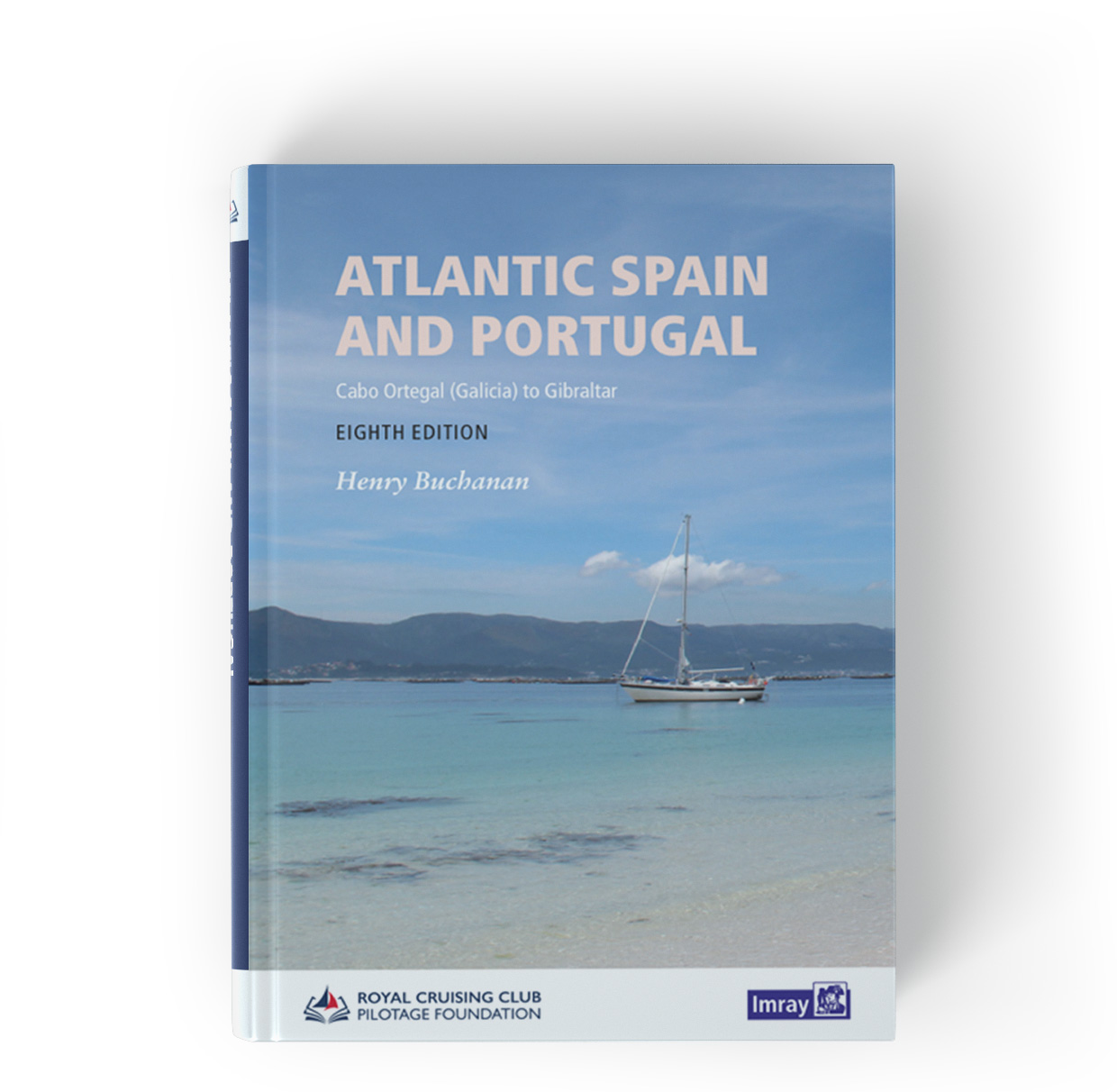
Atlantic Spain & Portugal
This book by Hernry Buchanan is a most suitable travel companion for anyone drawn to the Atlantic coast of Spain and Portugal. It covers the area from Cabo Ortegal in Galicia and then goes through Por

€61.50*
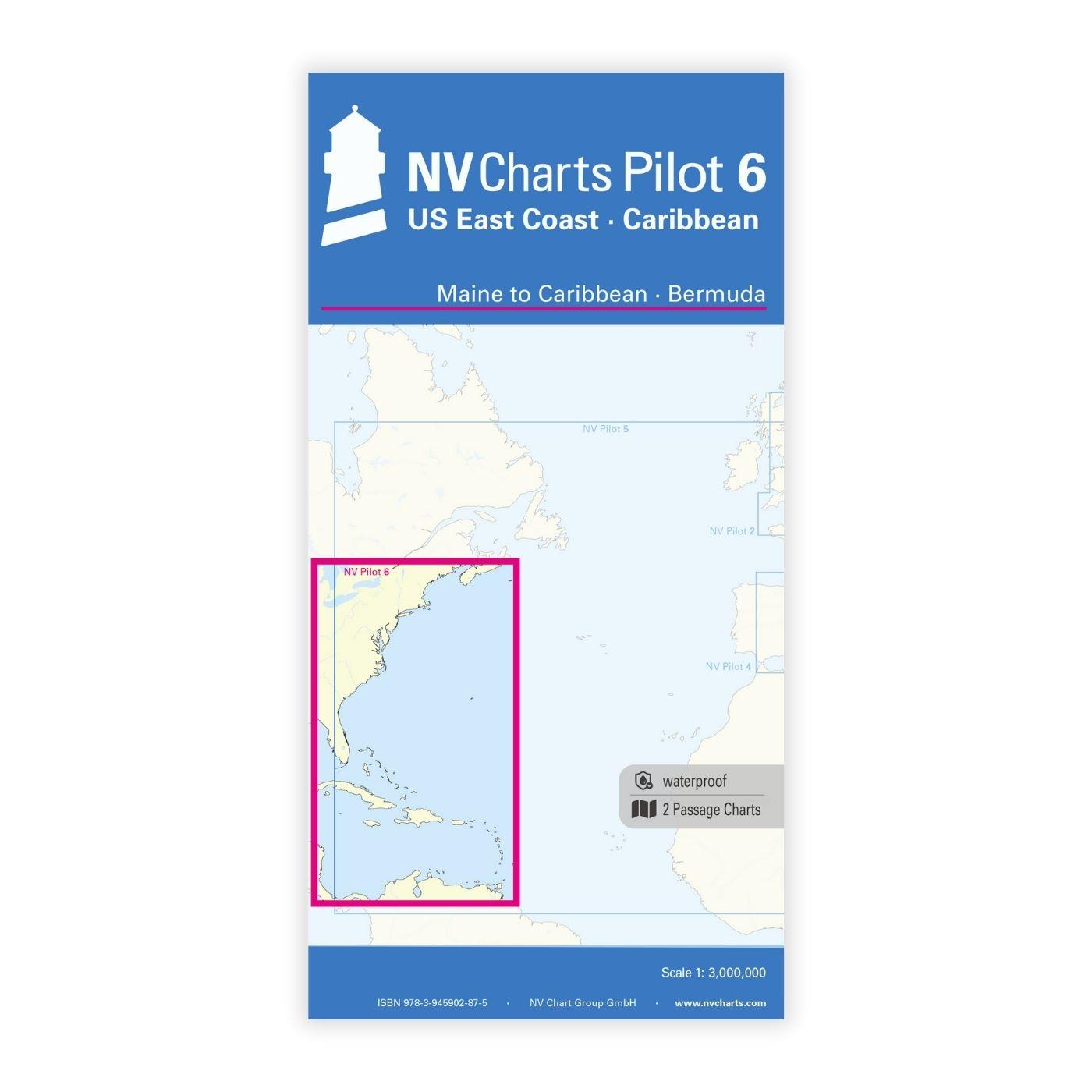
NV Charts Pilot 6 - US East Coast, Maine to Caribbean • Bermuda
The Pilot 6 is a planning chart for the east coast of the USA. The Antilles, Cuba and the Caribbean Sea can also be found on this chart.This folding chart consists of two overview charts:Chart 1, scal

€24.99*
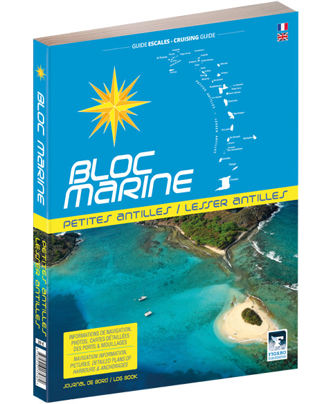
Bloc Marine: Petites Antilles
For accurate information on port areas safety at sea and recreational boating regulations the Bloc Marine Petites Antilles is a first-class travel companion. It contains numerous port plans and al

€39.00*
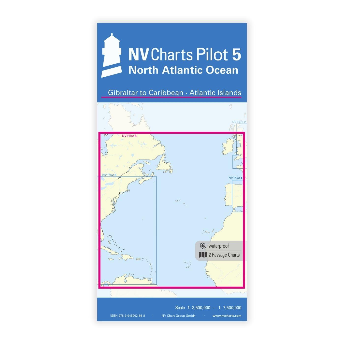
NV Charts Pilot 5 North Atlantic Ocean - Gibraltar to Caribbean, Atlantic Islands
The NV Charts Pilot 5 is a folding chart that you absolutely need for planning a transatlantic passage. The west coast of Spain, Portugal, Morocco and the Canary Islands are covered in this oversailer

€24.99*

Products near this article

Products near this article

New
NV Charts Atlantic ATL3 - Atlantic Islands Azores - Madeira, Canary Islands, Cape Verde
If you want to embark on the great adventure of crossing the Atlantic, the NV Charts Atlantic ATL3 is ideally equipped. Thanks to the clear layout, the recreational skipper can quickly find approaches

€74.99*
NV Atlantik Plotterseekarten
Maps & Port plans of the series ATL 1 ATL 2 ATL 3Digital plotter charts for the Atlantic including Portugal and the Atlantic Islands and the Atlantic Passage. The charts are supplied on "adapter ch

€129.99*
NV Charts App - Atlantic Islands and Passage
NV Charts App - Atlantic Islands and Passage[nvtext_abo_app_iap]This product can only be used in the NV Charts app, it is not compatible with other navigation programs.

€49.90*

Reviews

0 of 0 reviews

Leave a review!

Share your experiences with other customers.