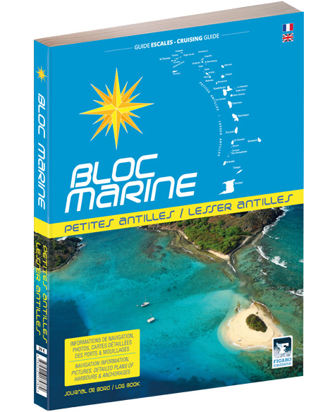
Bloc Marine: Petites Antilles

€39.00*


Product number: 22482

Description

For accurate information on port areas safety at sea and recreational boating regulations the Bloc Marine Petites Antilles is a first-class travel companion. It contains numerous port plans and also a section with detailed maps for all the islands of the Lesser Antilles.

All the ports of this region are covered in this Bloc Marine. To the north these are the Virgin Islands then further south the Leeward Islands around Guadeloupe. Still a good bit south of that are the Windward Islands. Also in the very south of this book are the ports of Trinidad and Tobago. The respective descriptions are also enhanced with precise aerial photographs of the ports and tourist descriptions of each island group.


As an indispensable tool for preparing your cruises and stopovers the Bloc Marine meets the legal requirements for keeping prescribed documents on board the ship. The Bloc Marine Petites Antilles contains enough prepared pages to keep a detailed logbook. Meteorological explanations which are particularly important in this exciting region and maritime safety advice are also included in this book.


The Bloc Marine Petites Antilles is in French and English.

Language: Französisch, Englisch
Region: Caribbean, Atlantik
Size: Softcover, Buch
Area preview

With the help of our area preview, you can get an impression of which geographical region the product deals with or which areas a nautical chart covers.

Related products to this item

Related products to this item

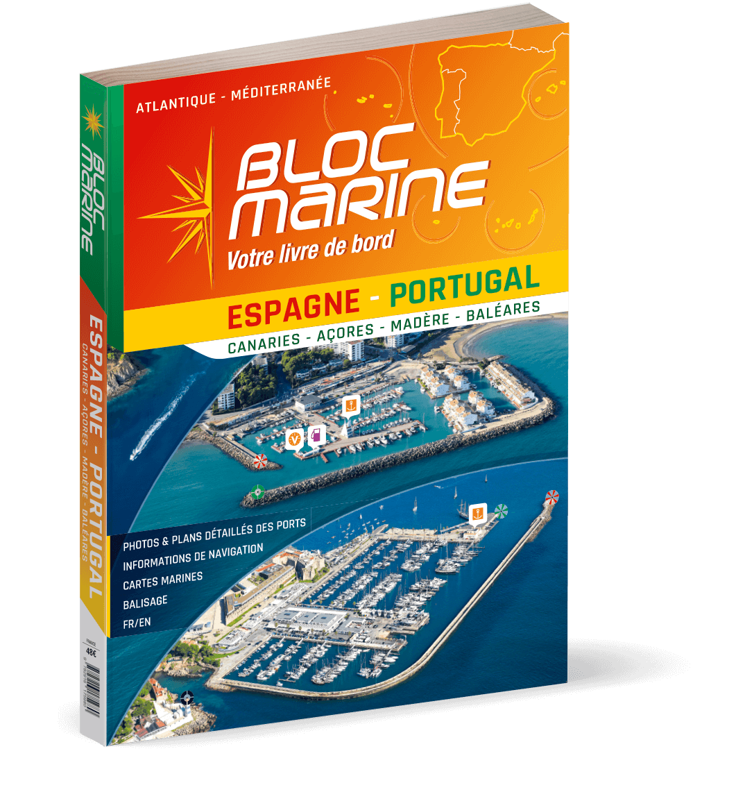
Bloc Marine: Espagne-Portugal
For accurate information on port areas safety at sea and legal requirements in recreational boating the Bloc Marine Espagne-Portugal is a first-class travel companion. It contains more than 350 port p

€48.00*
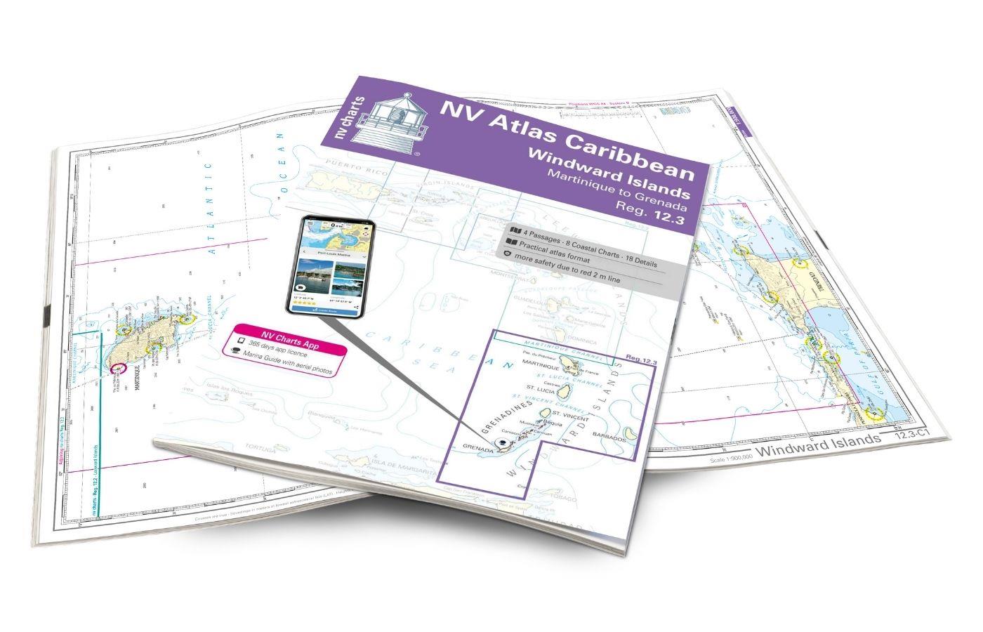
NV Charts Caribbean 12.3 - Windward Islands
With the NV Charts Atlas Caribbean 12.3 you have the perfect companion for the Windward Islands from Martinique to Grenada at your side. Thanks to the clear layout, you can find approaches,

€94.99*
New
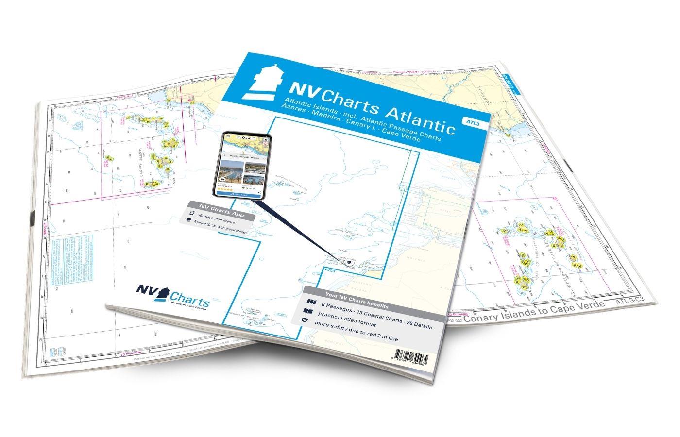
NV Charts Atlantic ATL3 - Atlantic Islands Azores - Madeira, Canary Islands, Cape Verde
If you want to embark on the great adventure of crossing the Atlantic, the NV Charts Atlantic ATL3 is ideally equipped. Thanks to the clear layout, the recreational skipper can quickly find approaches

€74.99*
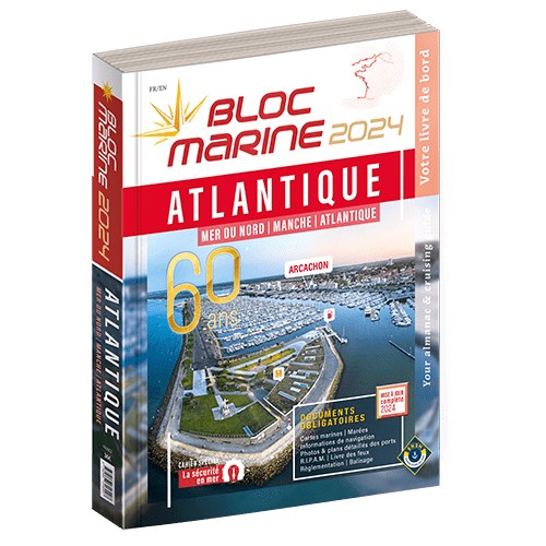
Bloc Marine : Atlantique
The Bloc Marine : AtlantiqueFor accurate information on port areas safety at sea and legal requirements in recreational boating the Bloc Marine Atlantique is a first-class travel companion. It include

€36.00*
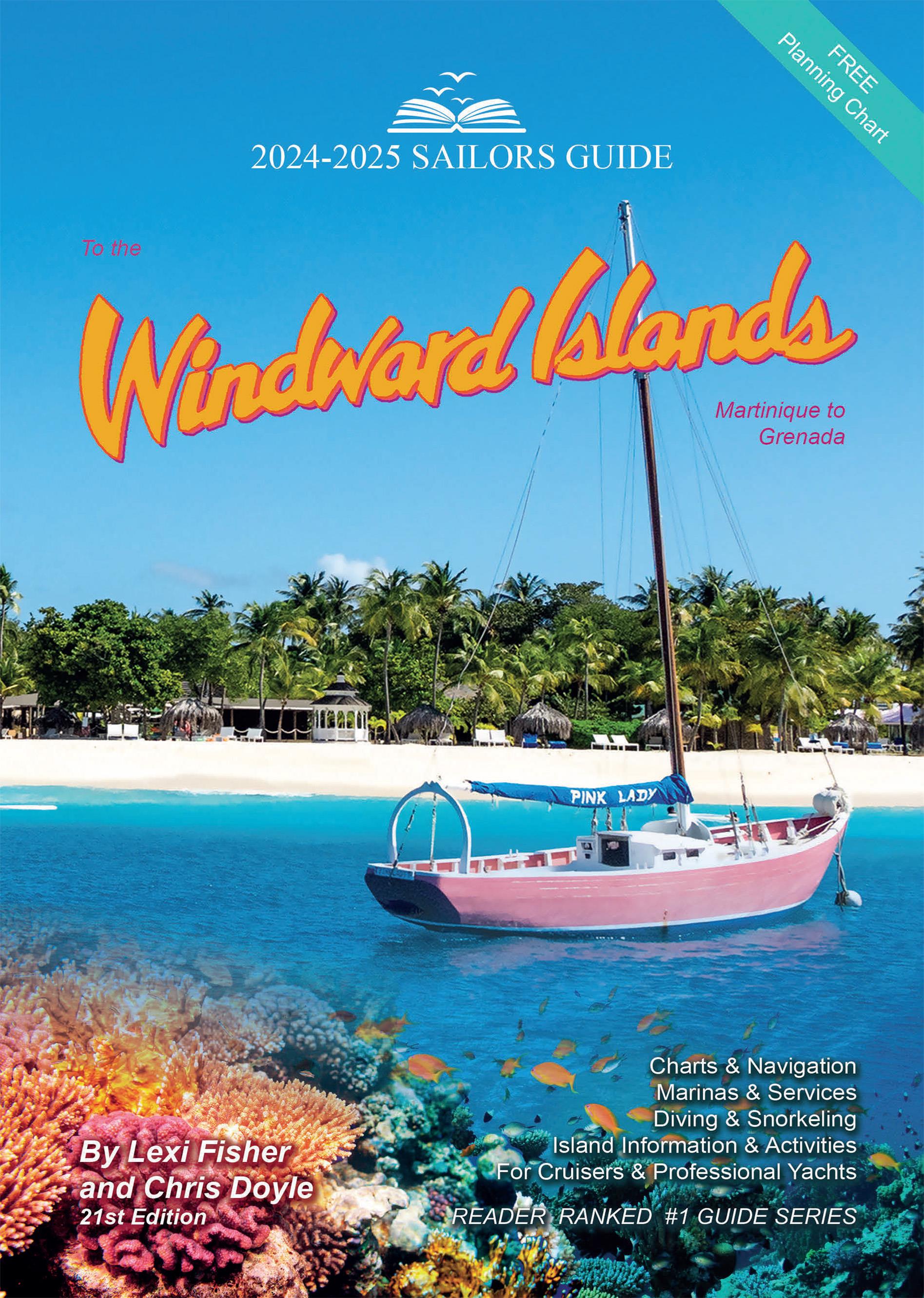
The Sailors Guide to the Windward Islands
Martinique to Grenada - Includes travel information & island stories maps & island navigation yacht & mega yacht service shore activities diving & snorkelling.These guides ar

€45.95*
-5 %
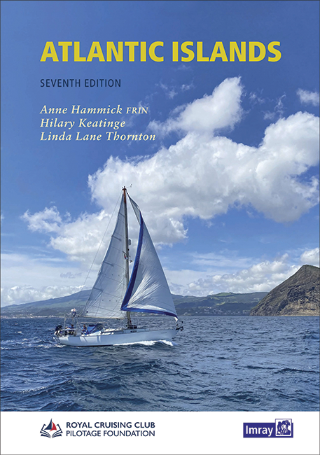
Atlantic Islands
In the middle of the Atlantic lie many charming island groups. This cruising guide takes up these and covers the Azores Canaries Madeira Cape Verde Islands and Bermuda. It is also divided into these f

€58.00* €61.20* (5.23% saved)
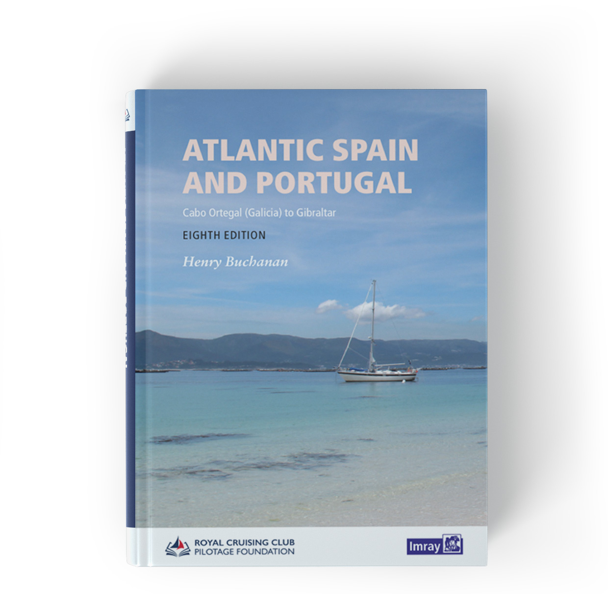
Atlantic Spain & Portugal
This book by Hernry Buchanan is a most suitable travel companion for anyone drawn to the Atlantic coast of Spain and Portugal. It covers the area from Cabo Ortegal in Galicia and then goes through Por

€61.50*

Products near this article

Products near this article

NV Charts Caribbean 12.3 - Windward Islands
With the NV Charts Atlas Caribbean 12.3 you have the perfect companion for the Windward Islands from Martinique to Grenada at your side. Thanks to the clear layout, you can find approaches,

€94.99*
The Sailors Guide to the Windward Islands
Martinique to Grenada - Includes travel information & island stories maps & island navigation yacht & mega yacht service shore activities diving & snorkelling.These guides ar

€45.95*

Reviews

0 of 0 reviews

Leave a review!

Share your experiences with other customers.