Bloc Marine : Atlantique

€36.00*


Product number: 31014

Description

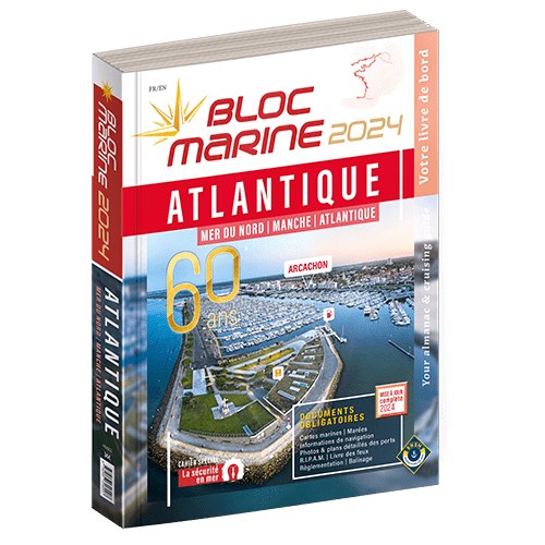
The Bloc Marine : Atlantique

For accurate information on port areas safety at sea and legal requirements in recreational boating the Bloc Marine Atlantique is a first-class travel companion. It includes a logbook as well as port plans and also a section with detailed maps for the French and Belgian coasts.

This detailed book covers all ports on the French Atlantic coast. But the south coast of Great Britain is also completely represented from Penzance to Ramsgate and additionally to the Scilly Isles and the Channel Islands. Those looking for ports in Belgium will also find what they are looking for in this Bloc Marine. The north coast of Spain is covered from the French border to the port of Santander. The respective descriptions are also enhanced with precise aerial photographs of the ports.

The Bloc Marine includes a special section on equipment and comfort on board to help you optimise your boats facilities and make the most of your trips at sea. An indispensable tool for preparing your trips and stopovers the Bloc Marine meets the legal requirements for keeping mandatory documents on board the boat. The Bloc Marine Atlantique also contains tide tables and information on currents in the regions. Meteorological explanations and maritime safety advice are also included.

Publication:

The Bloc Marine Atlantique is published annually as a new edition usually towards the end of December. It is in French but with English short texts.

Format: Softcover / Taschenbuch
Language: Französisch
Region: Europa, Englischer Kanal, Atlantik, Frankreich Atlantik, Biskaya
Area preview

With the help of our area preview, you can get an impression of which geographical region the product deals with or which areas a nautical chart covers.

Related products to this item

Related products to this item

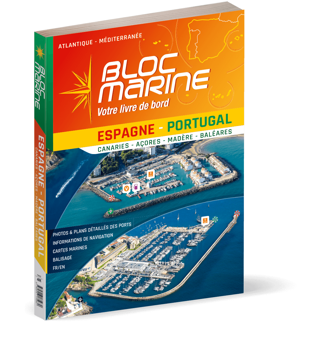
Bloc Marine: Espagne-Portugal
For accurate information on port areas safety at sea and legal requirements in recreational boating the Bloc Marine Espagne-Portugal is a first-class travel companion. It contains more than 350 port p

€48.00*
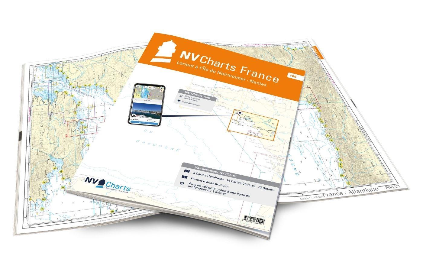
NV Charts France FR6 - Lorient à Île de Noirmoutier - Nantes
With the NV Charts France FR6 off to the Cité de la Voile, the city of sailing! Thanks to the clear layout, the sports skipper can quickly find approaches, harbours and anchorages and is informed of n

€64.99*
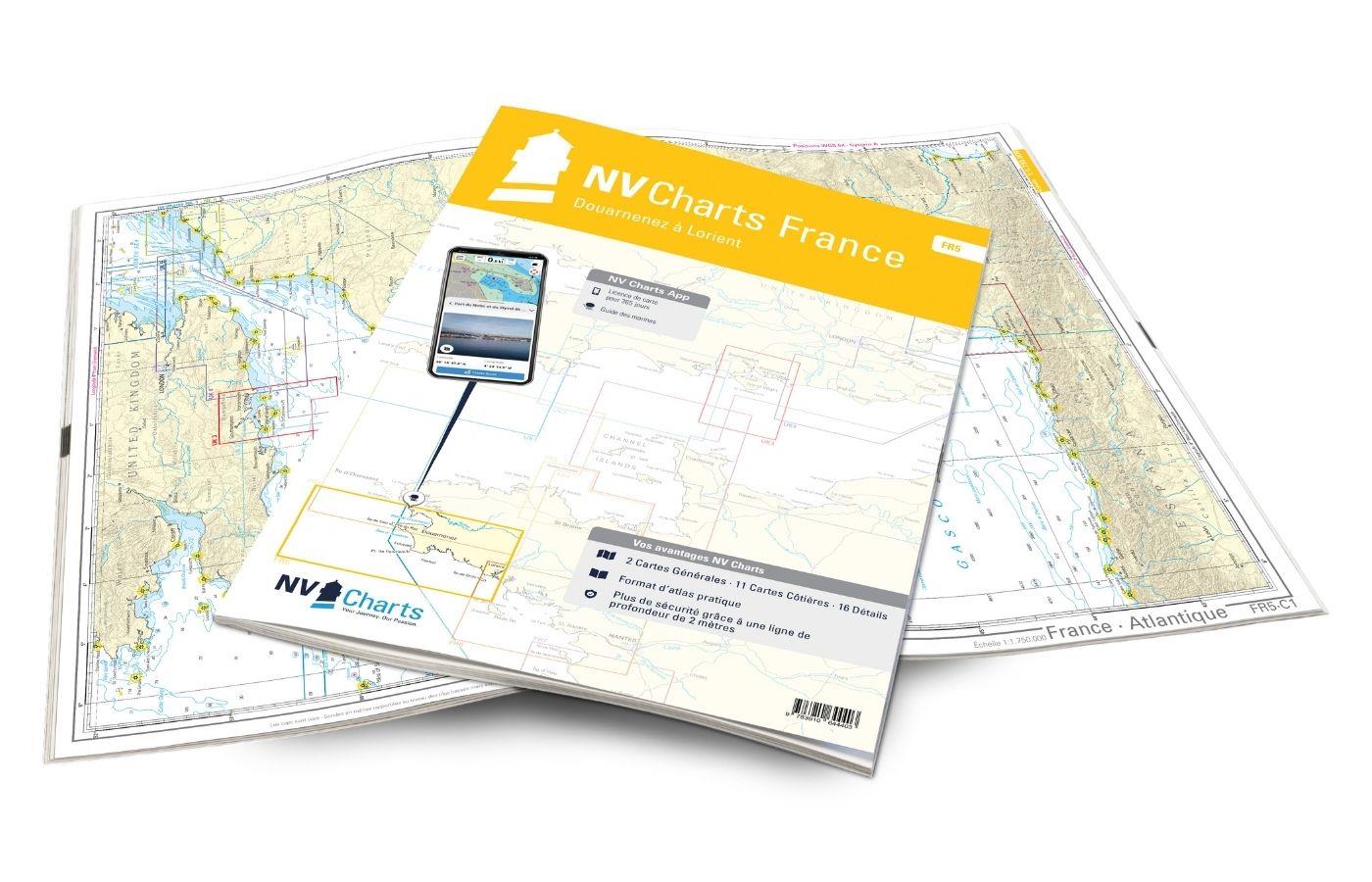
NV Charts France FR5 - Douarnenez à Lorient
The NV Charts France FR5 Atlas covers the south-western tip of Brittany. Thanks to the clear layout, the recreational skipper can quickly find approaches, harbours and anchorages and is informed of na

€64.99*
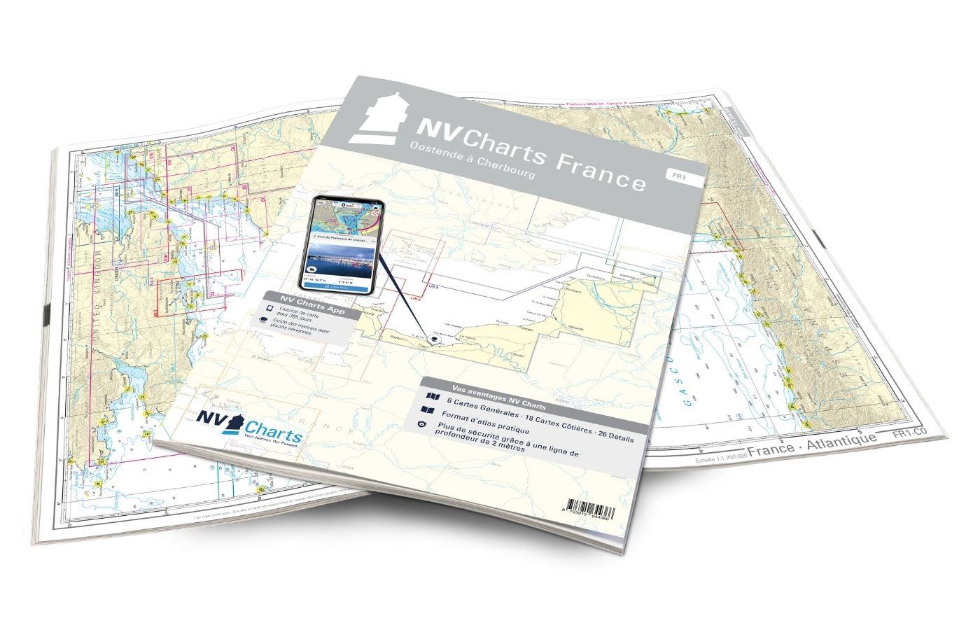
NV Charts France FR1 - Oostende à Cherbourg
For water sports enthusiasts who want to explore the French canal coast, the NV Charts Atlas FR1 which accompanies you along the coast from Dunkirk (Dunkerque) to Cherbourg. Thanks to the clear layout

€64.99*
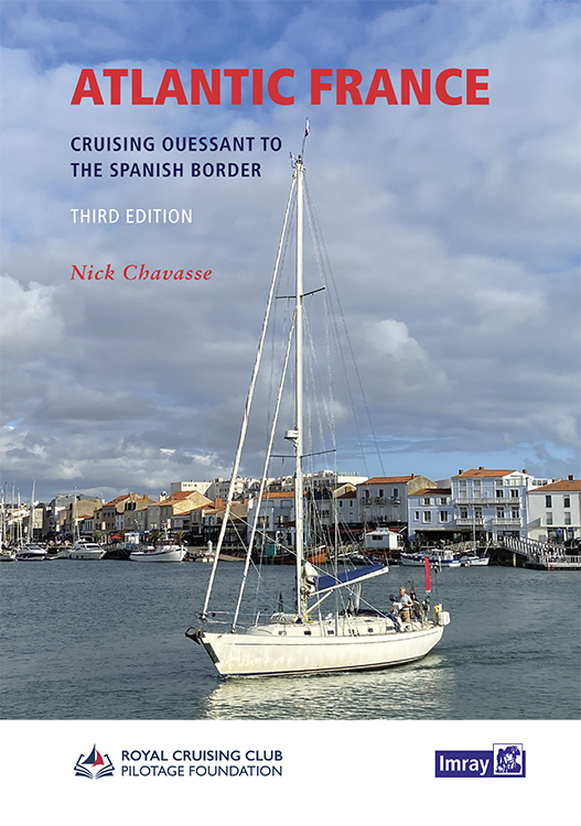
Atlantic France
For those water sports enthusiasts who would like to explore the French Atlantic coast this cruising guide is an extremely helpful travel companion. It covers the coast from lAberwrach at the north-we

€63.50*
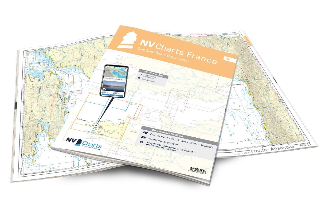
NV Charts France FR4 - Les Sept Isles à Douarnenez
The NV Charts France FR4 covers the north-western tip of Brittany. Thanks to the clear layout, the recreational skipper can quickly find approaches, harbours and anchorages and is informed o

€64.99*
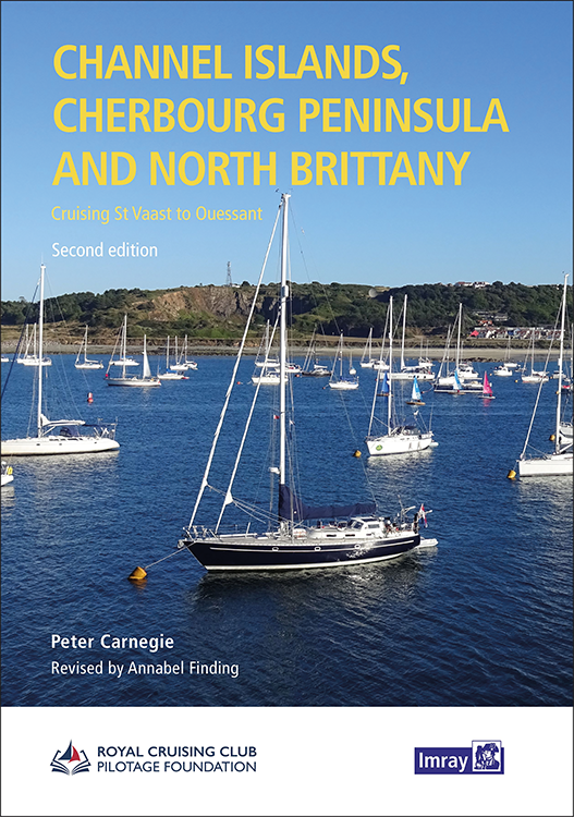
Channel Islands, Cherbourg Peninsula and North Brittany
This popular pilotage guide covers the waters of the Channel Islands and the neighbouring French coast from the north-east of the Cherbourg Peninsula westwards along the coast of Normandy and Brittany

€63.50*

Reviews

0 of 0 reviews

Leave a review!

Share your experiences with other customers.