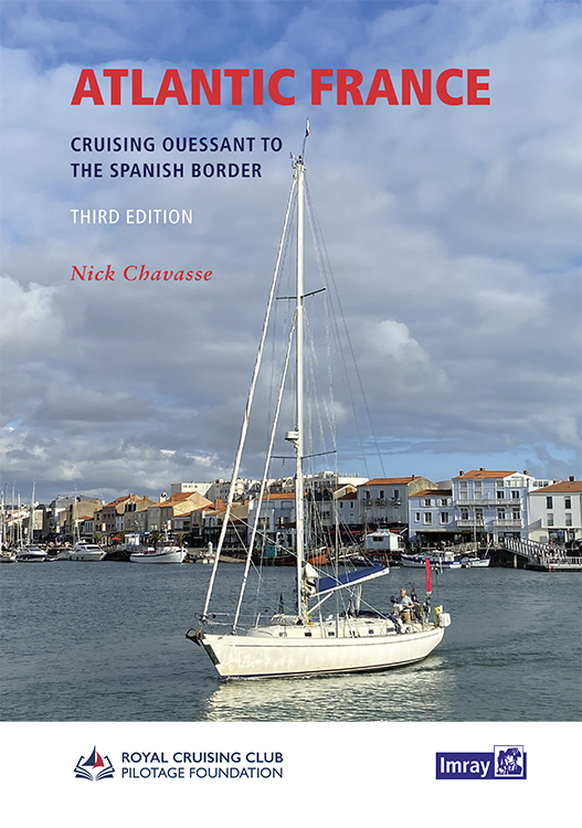
Atlantic France

Chart ID: IBO162-3
Edition: 2023

€63.50*


Product number: 22421

Description

For those water sports enthusiasts who would like to explore the French Atlantic coast this cruising guide is an extremely helpful travel companion. It covers the coast from lAberwrach at the north-western tip of Brittany to Hondarribia in Spain. In between all the ports of the "Côte atlantique française" are covered including Brest Lorient La Rochelle Bordeaux and Biarritz. Numerous islands of the coast are also described in detail in the book for example Ouessant Molène Oléron Noirmoutier Ré and the Belle-Île. Many photos pictures and unique aerial views are invaluable for the skipper. Also included are useful contact details and information on tides.

The French Atlantic coast is long and varied also due to its sometimes impressive tides and currents. This region also has much to offer in terms of scenery from the rugged coasts of Brittany to charming coastal towns and the long sandy beaches of southern France. Both first-time visitors enjoying their first taste of the region and old hands visiting their favourite spots will find Atlantic France a good companion.

Atlantic France is in English.

Author: Nick Chavasse
Language: Englisch
Region: Europa, Frankreich Atlantik, Biskaya
Size: Buch, Hardcover
Area preview

With the help of our area preview, you can get an impression of which geographical region the product deals with or which areas a nautical chart covers.

Related products to this item

Related products to this item

Atlantic Spain & Portugal
This book by Hernry Buchanan is a most suitable travel companion for anyone drawn to the Atlantic coast of Spain and Portugal. It covers the area from Cabo Ortegal in Galicia and then goes through Por

€61.50*
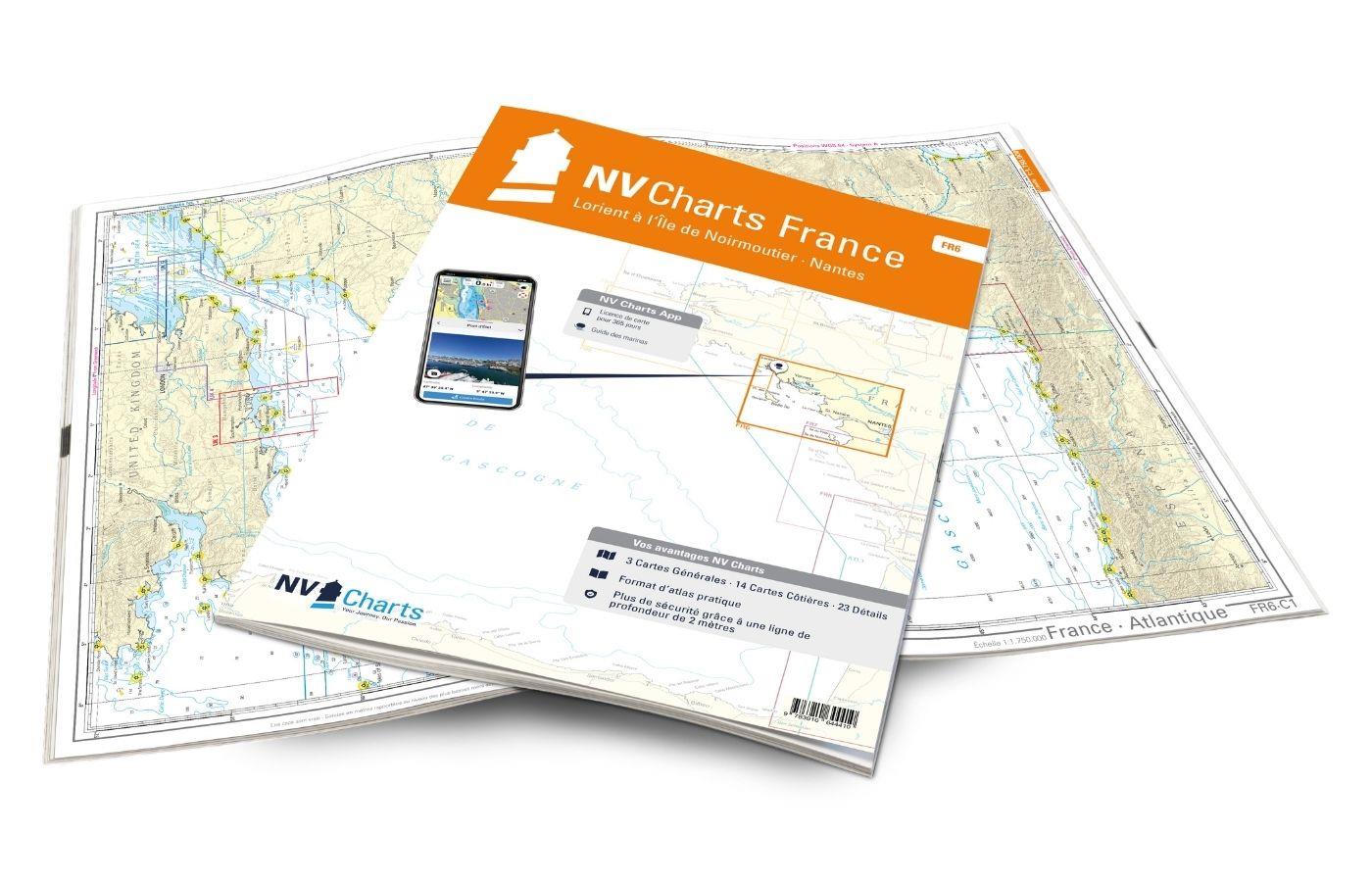
NV Charts France FR6 - Lorient à Île de Noirmoutier - Nantes
With the NV Charts France FR6 off to the Cité de la Voile, the city of sailing! Thanks to the clear layout, the sports skipper can quickly find approaches, harbours and anchorages and is informed of n

€64.99*
Shell Channel Pilot
English Channel Cruising GuideThe "Shell Channel Pilot" cruising guide is suitable for all water sports enthusiasts who wish to explore the English Channel on both the French and English sides. It cov

€50.50*
Bloc Marine : Atlantique
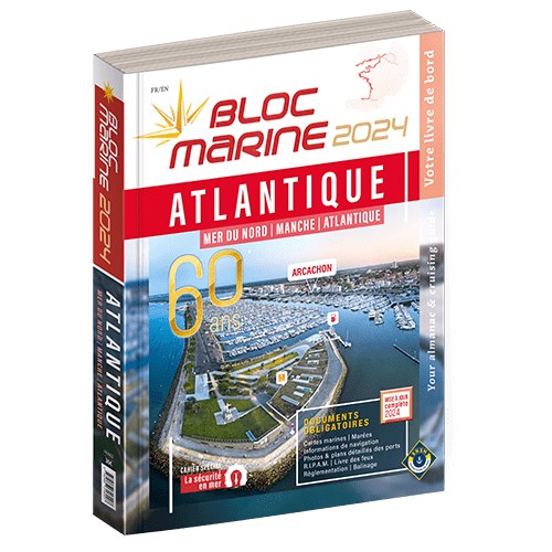
The Bloc Marine : AtlantiqueFor accurate information on port areas safety at sea and legal requirements in recreational boating the Bloc Marine Atlantique is a first-class travel companion. It include

€36.00*
Channel Islands, Cherbourg Peninsula and North Brittany
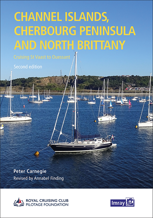
This popular pilotage guide covers the waters of the Channel Islands and the neighbouring French coast from the north-east of the Cherbourg Peninsula westwards along the coast of Normandy and Brittany

€63.50*
Secret Anchorages of Brittany
A detailed cruising guide to Brittany in FranceThe cruising guide "Secret Anchorages of Brittany" is suitable for all water sports enthusiasts planning a trip to Brittany. It covers the entire region

€38.80*
NV Charts France FR4 - Les Sept Isles à Douarnenez
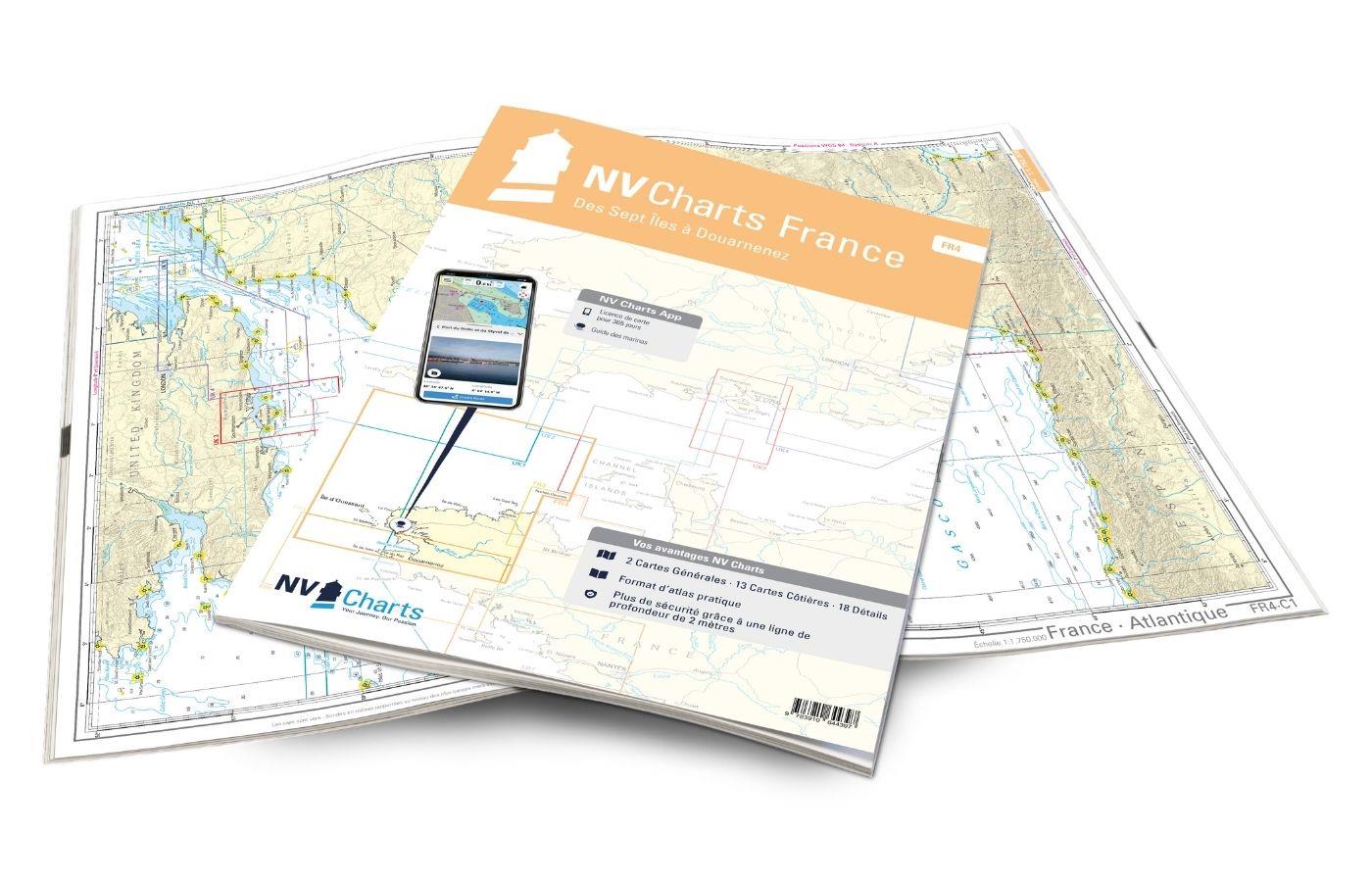
The NV Charts France FR4 covers the north-western tip of Brittany. Thanks to the clear layout, the recreational skipper can quickly find approaches, harbours and anchorages and is informed o

€64.99*

Products near this article

Products near this article

NV Charts France FR7 - Îles de Noirmoutier à Oléron - La Rochelle
With the NV Charts France FR7 Atlas discover the French Atlantic coast. Thanks to the clear layout, the recreational skipper can quickly find approaches, ports and anchorages and is informed of naviga

€64.99*
NV Charts France FR6 - Lorient à Île de Noirmoutier - Nantes
With the NV Charts France FR6 off to the Cité de la Voile, the city of sailing! Thanks to the clear layout, the sports skipper can quickly find approaches, harbours and anchorages and is informed of n

€64.99*

Reviews

0 of 0 reviews

Leave a review!

Share your experiences with other customers.