Shell Channel Pilot

Chart ID: IB0202-1

€50.50*


Product number: 22339

Description

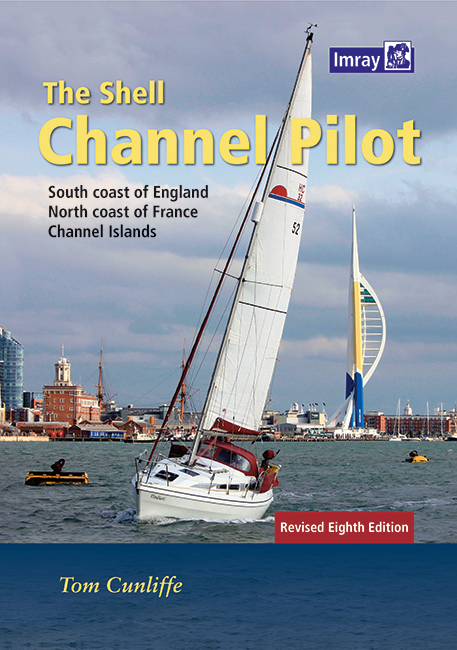
English Channel Cruising Guide

The "Shell Channel Pilot" cruising guide is suitable for all water sports enthusiasts who wish to explore the English Channel on both the French and English sides. It covers the south coast of England from Lands End and the Isles of Scilly in the west to North Foreland in the east. The north coast of France is included from Dunkirk to Ile Ouessant at the tip of Brittany and the Channel Islands are not to be missed. The book contains a lot of useful information about the Channel as well as descriptions of the ports in France and England. It also features aerial photographs and map sections of the ports described. The 400-plus pages also include useful contact details and climatic features of the region.

The junction of the Atlantic and the North Sea

The English Channel is a fascinating area in terms of landscape and climate with special conditions. For water sports enthusiasts it is helpful to have dealt with the sometimes unique currents and tides of this region. There is a lot to offer on both coasts especially Brittany and Cornwall are popular destinations for tourists.


The  latest edition is from 2021.

Author: Tom Cunliffe
Format: Hardcover / gebunden
Language: Englisch
Region: Europa, Englischer Kanal, Nordsee, Atlantik, Frankreich Atlantik
Area preview

With the help of our area preview, you can get an impression of which geographical region the product deals with or which areas a nautical chart covers.

Related products to this item

Related products to this item

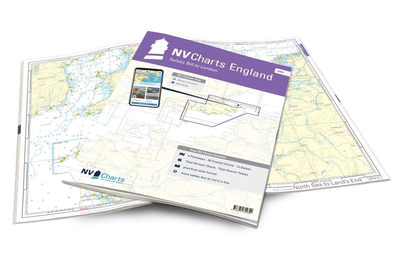
NV Charts England UK4 - Selsey Bill to London
The NV Charts England UK4 takes you past the historic North Foreland into the centre of London - or further west along the coast and towns such as Eastbourne and Brighton. Our charts are bas

€64.99*
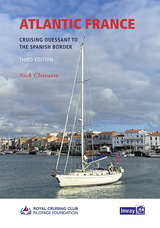
Atlantic France
For those water sports enthusiasts who would like to explore the French Atlantic coast this cruising guide is an extremely helpful travel companion. It covers the coast from lAberwrach at the north-we

€63.50*
Gezeitenstromatlas NP250 The English Channel
BA NP250 Tidal Stream Atlas: The English ChannelTidal streams diagrams include detailed tidal stream direction and strength information. They show at a glance the direction and rate of tidal streams d

€33.90*
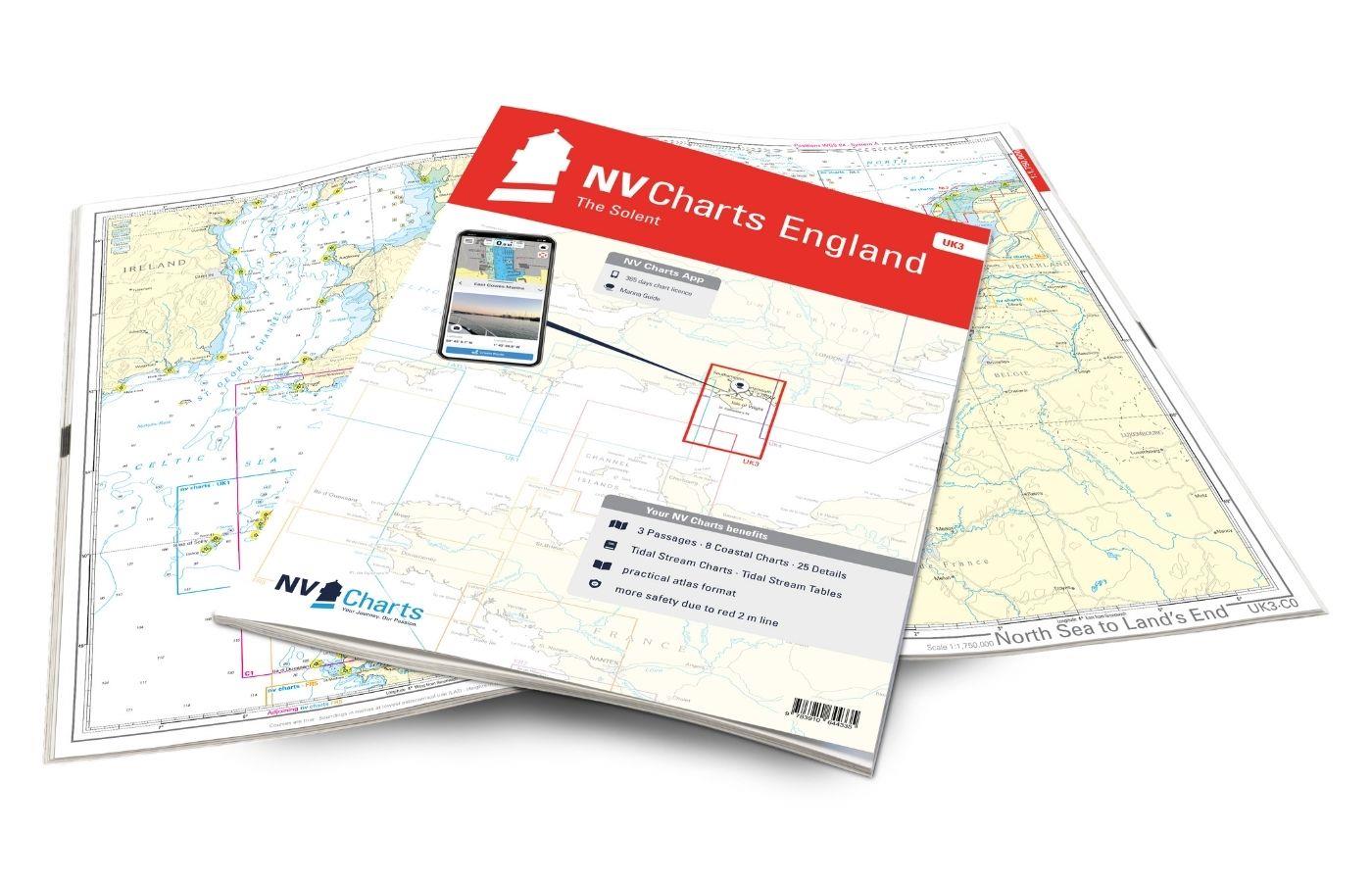
NV Charts England UK3 - The Solent
The NV Charts England UK3 Atlas takes you to the strait between Southampton and the Isle of Wight. Our charts are based on official data from the United Kingdom Hydrographic Office (UKHO) and inc

€64.99*
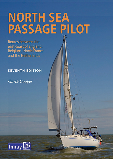
North Sea Passage Pilot
Southern North Sea passage guide with passage routes for traversing this challenging tidal area between the English east coast and the west coasts of the Netherlands and Belgium.The North Sea Passage

€43.00*
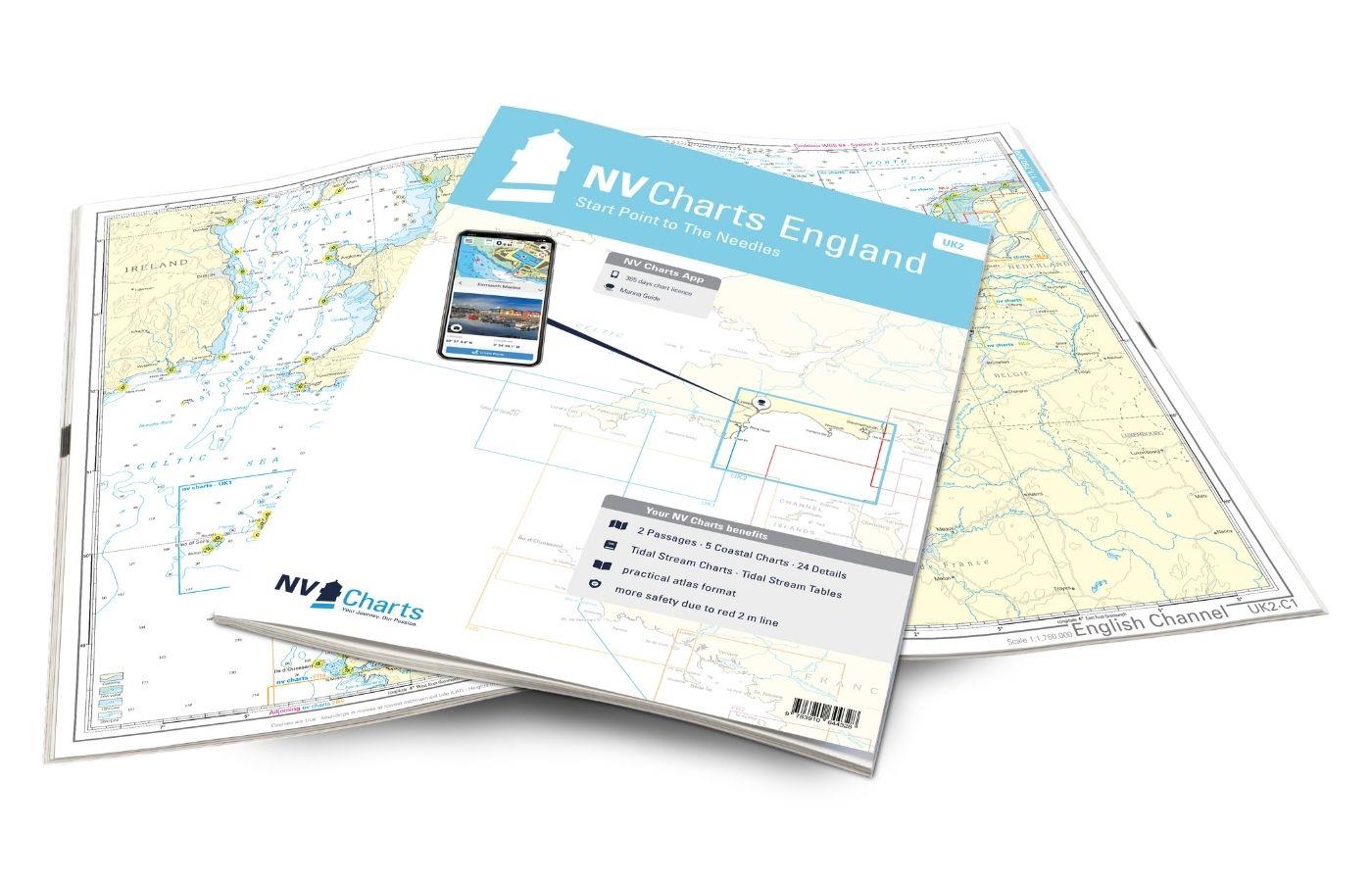
NV Charts England UK2 - Start Point to the Needles
Anyone longing for a natural, relaxing vacation will be delighted with the NV Charts England UK2 is the best advice. Our charts are based on official data from the United Kingdom Hydrographi

€64.99*
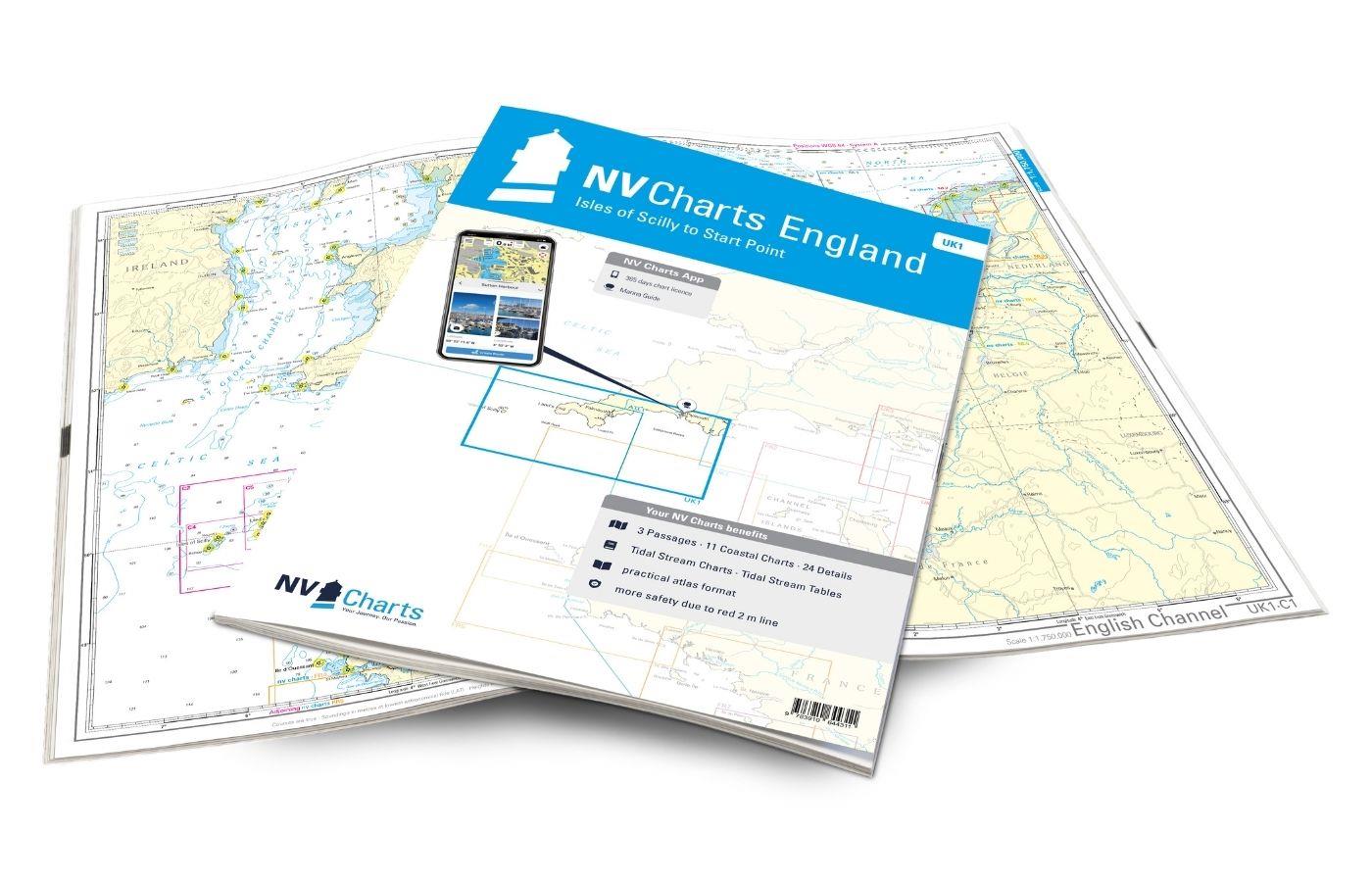
NV Charts Engeland UK1 - Scilly Isles to Start Point
The NV Charts England UK1 will guide you along the fascinating southwest coast of Great Britain . Our charts are based on official data from the United Kingdom Hydrographic Office (UKHO) and include a

€64.99*

Products near this article

Products near this article

NV Charts France FR2 - Cherbourg à St. Malo
If you are drawn to the marvellous Channel Islands, the NV Charts Atlas FR2 is well advised! Thanks to the clear layout, the recreational skipper can quickly find approaches, harbours and anchorages a

€64.99*
Gezeitenstromatlas NP250 The English Channel
BA NP250 Tidal Stream Atlas: The English ChannelTidal streams diagrams include detailed tidal stream direction and strength information. They show at a glance the direction and rate of tidal streams d

€33.90*

Reviews

0 of 0 reviews

Leave a review!

Share your experiences with other customers.