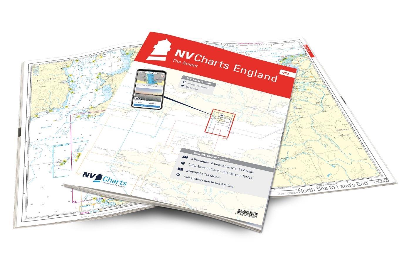
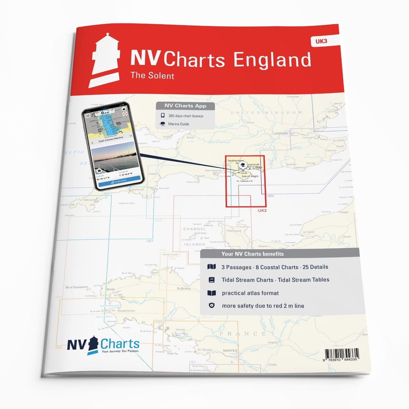
NV Charts England UK3 - The Solent

Edition: 2023
Edition Date: 17.04.2023

€64.99*


Product number: 9953

Description

The NV Charts England UK3 Atlas takes you to the strait between Southampton and the Isle of Wight. Our charts are based on official data from the United Kingdom Hydrographic Office (UKHO) and include additional harbour plans and details for approaches and passages in the waters. The clear layout means that approaches, harbours and anchorages can be found quickly, and important navigational details, which also appear in the NV Charts app, are pointed out. Tidal data is available in tables and also as a chart on paper. The chart series impresses with its optimal dimensions and balanced sheet sections.

Overview of regions

The Solent is known as one of the best sailing areas in England, despite extreme current conditions due to tidal waters. It is relatively lively there in summer, especially as Southampton has a large harbour and various cruise ships also sail there. The important "Fastnet Race" regatta starts every two years from Cowes on the Isle of Wight and is becoming increasingly popular. The Isle of Wight is characterised by its chalk hills, which stretch across the entire island. Especially "The Needles", three chalk rock islands on the western tip of the island, are worth a detour.

As a supplement to this map set, we recommend the NV Charts England  UK2 towards the west or the NV Charts England  UK4 eastwards to explore the Channel coast further. But travelling on to France is also possible with the NV Charts France  FR2 (via the charming Channel Islands) or with the NV Charts France FR1 (along the north coast of France) is an exciting option.

This chart set includes

  • 3 sailors
  • 8 territory cards
  • 25 detailed maps
  • Digital charts for navigation program and NV Charts App 356-day licence
  • Navigation instructions in English
  • Tide tables
  • Harbour plans paper & digital
  • Fulfils all legal requirements for up-to-date paper charts on board

All advantages at a glance

  • NV Atlas chart format: Practical, handy atlas format, opened in A2, closed in A3 format, flat staple binding in the centre - makes it easy to work with the course triangle
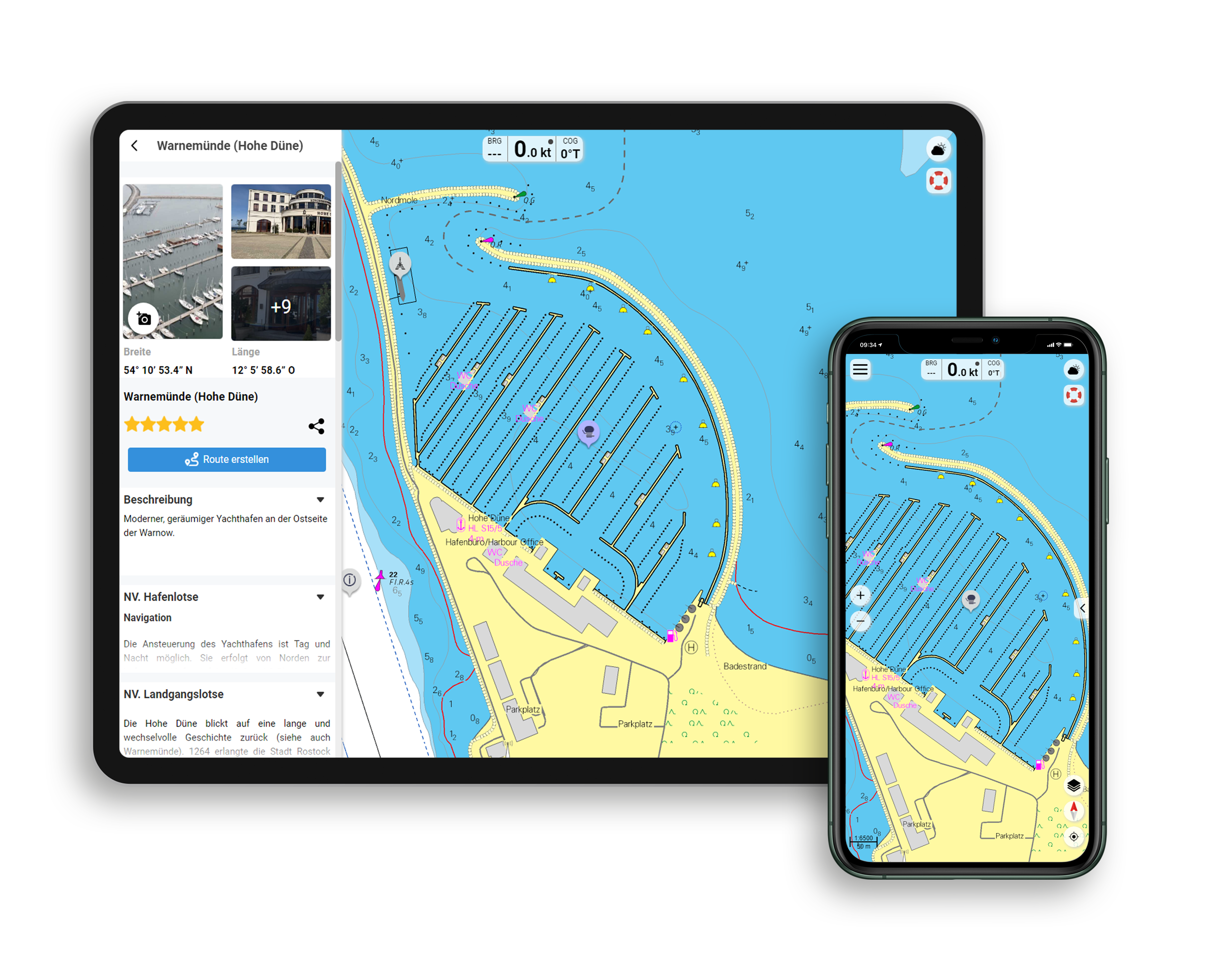
  • NV Charts app: including access code to the digital nautical charts of the purchased area in the NV Charts app with 365-day licence, for offline navigation with the app on iOS, Android, PC, Mac or in the web browser, comprehensive harbour manual
  • Extremely detailed: Nautical charts based on data from official surveys and own surveys, particularly detailed outside the main fairways
  • Optimised for recreational boating

Functions of the NV Charts app

  • Flexible autorouting
  • Satellite overlay
  • Augmented reality
  • VMG (Velocity Made Good)
  • BoatView harbour guide
  • Track recording
  • AIS connection and much more.
Find out more now

Charts and measures included

Übersegler

C1 English Channel 1: 1,750,000 , C2 Portland Bill to Beachy Head 1: 350,000

District maps

C3 Anvil Pt. to Selsey Bill 1: 150,000 , C4 Western Approach of the Solent 1: 75,000 , C5 Eastern Approach of the Solent 1: 75,000 , C6 The Needles 1: 30,000 , C7 The Solent - Western Part 1: 30,000 ,C8 The Solent - Middle Part 1: 30,000 , C9 Southampton Water 1: 30,000 , C10 The Solent - Eastern Part 1: 30,000

Detailed maps

C11 Portsmouth Harbour 1: 20,000 , C12A Langstone Harbour 1: 20,000 , C12B Chichester Harbour Approach 1: 20,000 , C13 Chichester Harbour 1: 20,000 , C14A Keyhaven 1: 8. 000 , C14B Lymington 1: 12,000 , C14C Yarmouth 1: 6,000 , C15A Newtown River 1: 12,000 , C15B/C River Medina 1: 12,000 , C16A/B Beaulieu River 1: 12,000 , C17A/B River Hamble 1: 8. 000 , C18 River Itchen 1: 10,000 , C19A Cowes 1: 6,000 , C19B Gosport 1: 8,000 , C20A Wootton Creek 1: 10,000 , C20B Ryde 1: 6,000 , C20C Port Solent 1: 8. 000 , C20D Bembridge Harbour 1: 10,000 , C20E Southsea Marina 1: 10,000 , C21A Northney Marina 1: 8,000 , C21B Sparkes Marina 1: 8,000 , C21C Chichester Marina 1: 8,000
Legend - General Notes C22 , Tidal Stream Charts C23 , Tide Tables - Tidal Stream Tables C24

App License: NV Charts App
Format: NV Atlas, Gebundener Kartensatz
Area preview

With the help of our area preview, you can get an impression of which geographical region the product deals with or which areas a nautical chart covers.

Related products to this item

Related products to this item

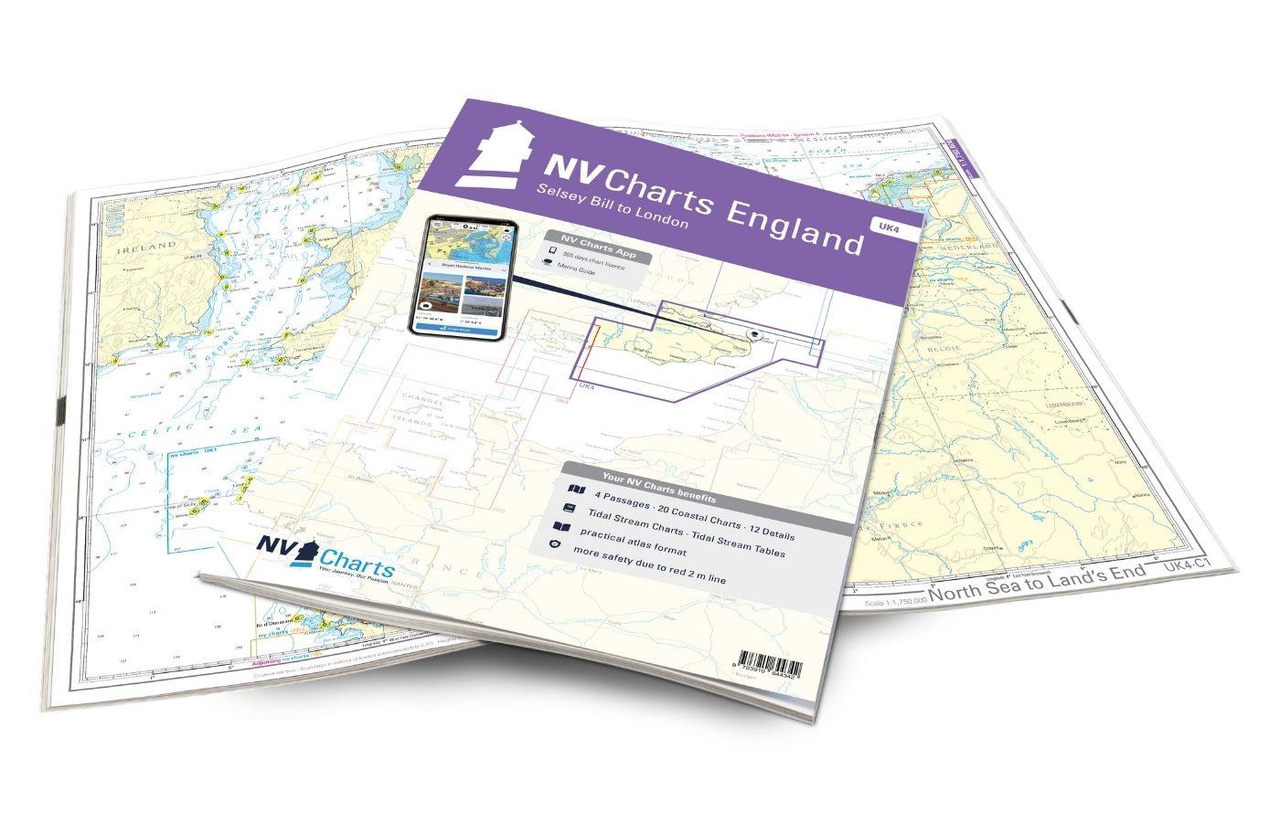
Gebietsvorschau für NV Charts England UK4 - Selsey Bill to London öffnen
NV Charts England UK4 - Selsey Bill to London
The NV Charts England UK4 takes you past the historic North Foreland into the centre of London - or further west along the coast and towns such as Eastbourne and Brighton. Our charts are bas

€64.99*
Gebietsvorschau für NV Charts England UK2 - Start Point to the Needles öffnen
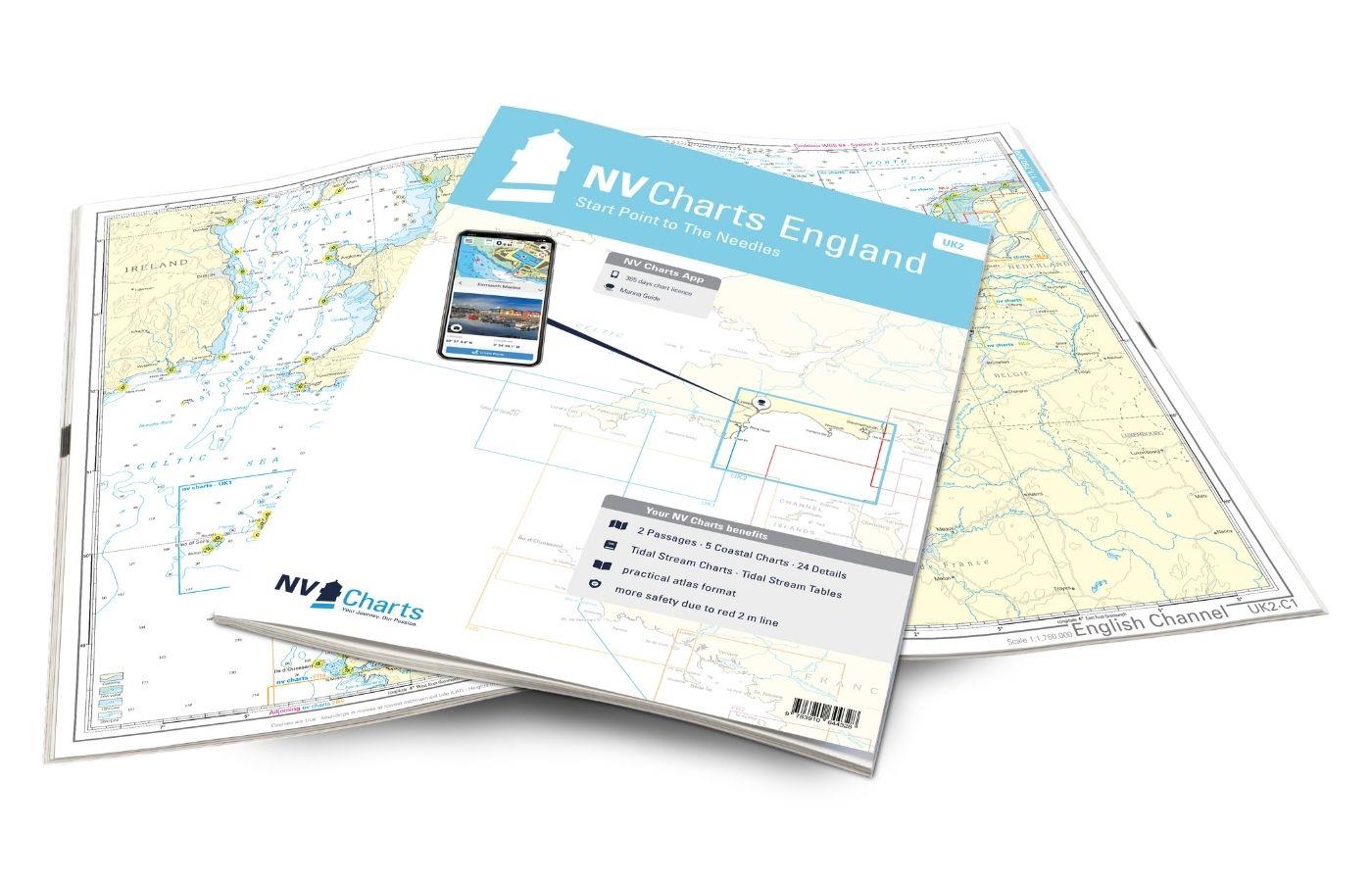
NV Charts England UK2 - Start Point to the Needles
Anyone longing for a natural, relaxing vacation will be delighted with the NV Charts England UK2 is the best advice. Our charts are based on official data from the United Kingdom Hydrographi

€64.99*
Gebietsvorschau für NV Charts France FR1 - Oostende à Cherbourg öffnen
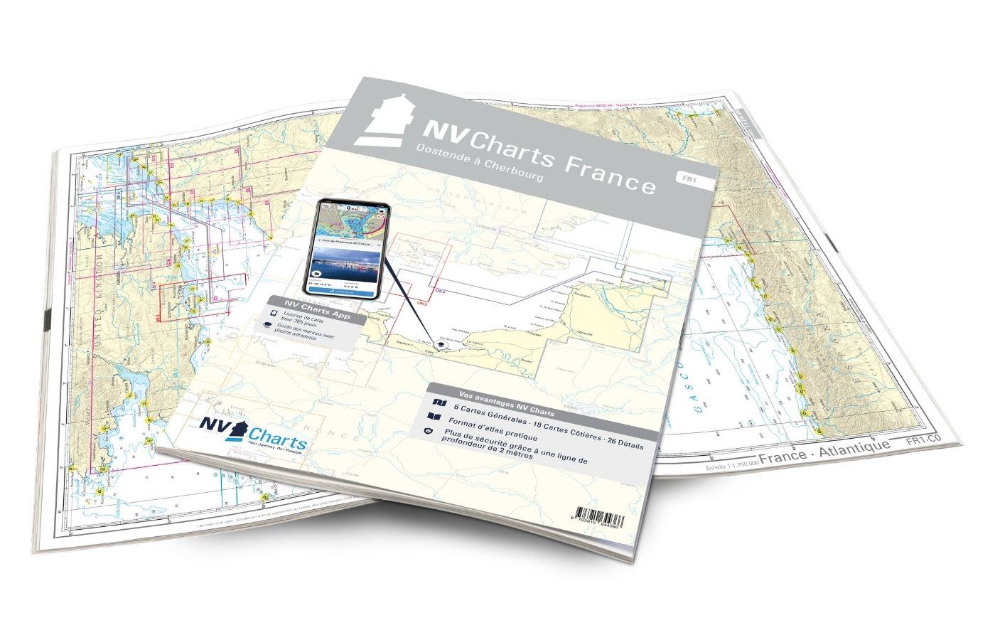
NV Charts France FR1 - Oostende à Cherbourg
For water sports enthusiasts who want to explore the French canal coast, the NV Charts Atlas FR1 which accompanies you along the coast from Dunkirk (Dunkerque) to Cherbourg. Thanks to the clear layout

€64.99*
Gebietsvorschau für NV Charts Engeland UK1 - Scilly Isles to Start Point öffnen
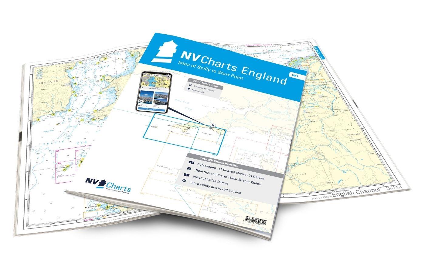
NV Charts Engeland UK1 - Scilly Isles to Start Point
The NV Charts England UK1 will guide you along the fascinating southwest coast of Great Britain . Our charts are based on official data from the United Kingdom Hydrographic Office (UKHO) and include a

€64.99*
Gebietsvorschau für NV Charts France FR2 - Cherbourg à St. Malo öffnen
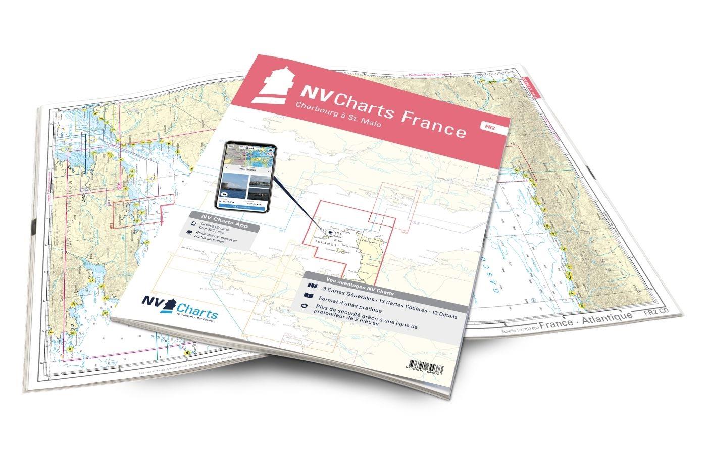
NV Charts France FR2 - Cherbourg à St. Malo
If you are drawn to the marvellous Channel Islands, the NV Charts Atlas FR2 is well advised! Thanks to the clear layout, the recreational skipper can quickly find approaches, harbours and anchorages a

€64.99*
Gebietsvorschau für NV Charts England UK5 - Thames Estuary to Great Yarmouth öffnen
NV Charts England UK5 - Thames Estuary to Great Yarmouth
The NV Charts England UK5 covers the southeast coast of Great Britain from the Thames estuary to Great Yarmouth. Our charts are based on official data from the United Kingdom Hydrographic Office (UKHO

€64.99*

Reviews

0 of 0 reviews

Leave a review!

Share your experiences with other customers.


Gebietsvorschau für NV Charts France FR1 - Oostende à Cherbourg öffnen
NV Charts France FR1 - Oostende à Cherbourg
For water sports enthusiasts who want to explore the French canal coast, the NV Charts Atlas FR1 which accompanies you along the coast from Dunkirk (Dunkerque) to Cherbourg. Thanks to the clear layout

€64.99*
Gebietsvorschau für NV Charts England UK5 - Thames Estuary to Great Yarmouth öffnen
NV Charts England UK5 - Thames Estuary to Great Yarmouth
The NV Charts England UK5 covers the southeast coast of Great Britain from the Thames estuary to Great Yarmouth. Our charts are based on official data from the United Kingdom Hydrographic Office (UKHO

€64.99*
Gebietsvorschau für NV Charts Pilot 2, North Sea - Falmouth to Kristiansand - Inverness öffnen
NV Charts Pilot 2, North Sea - Falmouth to Kristiansand - Inverness
NV Charts Pilot 2, North Sea - Falmouth to Kristiansand - InvernessThe Pilot 2 from NV Charts is the planning chart that is needed for the North Sea. The west coast of Denmark, the German North Sea an

€24.99*
Gebietsvorschau für NV Charts England UK2 - Start Point to the Needles öffnen
NV Charts England UK2 - Start Point to the Needles
Anyone longing for a natural, relaxing vacation will be delighted with the NV Charts England UK2 is the best advice. Our charts are based on official data from the United Kingdom Hydrographi

€64.99*
Gebietsvorschau für NV Charts France FR4 - Les Sept Isles à Douarnenez öffnen
NV Charts France FR4 - Les Sept Isles à Douarnenez
The NV Charts France FR4 covers the north-western tip of Brittany. Thanks to the clear layout, the recreational skipper can quickly find approaches, harbours and anchorages and is informed o

€64.99*
Gebietsvorschau für NV Charts France FR2 - Cherbourg à St. Malo öffnen
NV Charts France FR2 - Cherbourg à St. Malo
If you are drawn to the marvellous Channel Islands, the NV Charts Atlas FR2 is well advised! Thanks to the clear layout, the recreational skipper can quickly find approaches, harbours and anchorages a

€64.99*
Gebietsvorschau für NV Charts France FR3 - St. Malo aux Sept Îles öffnen
NV Charts France FR3 - St. Malo aux Sept Îles
Would you like to discover the coast of northern Brittany? Then the NV Charts France FR3 Atlas is your partner at sea. Thanks to the clear layout, the recreational skipper can quickly find a

€64.99*
Gebietsvorschau für NV Charts Engeland UK1 - Scilly Isles to Start Point öffnen
NV Charts Engeland UK1 - Scilly Isles to Start Point
The NV Charts England UK1 will guide you along the fascinating southwest coast of Great Britain . Our charts are based on official data from the United Kingdom Hydrographic Office (UKHO) and include a

€64.99*
Gebietsvorschau für NV Charts England UK4 - Selsey Bill to London öffnen
NV Charts England UK4 - Selsey Bill to London
The NV Charts England UK4 takes you past the historic North Foreland into the centre of London - or further west along the coast and towns such as Eastbourne and Brighton. Our charts are bas

€64.99*