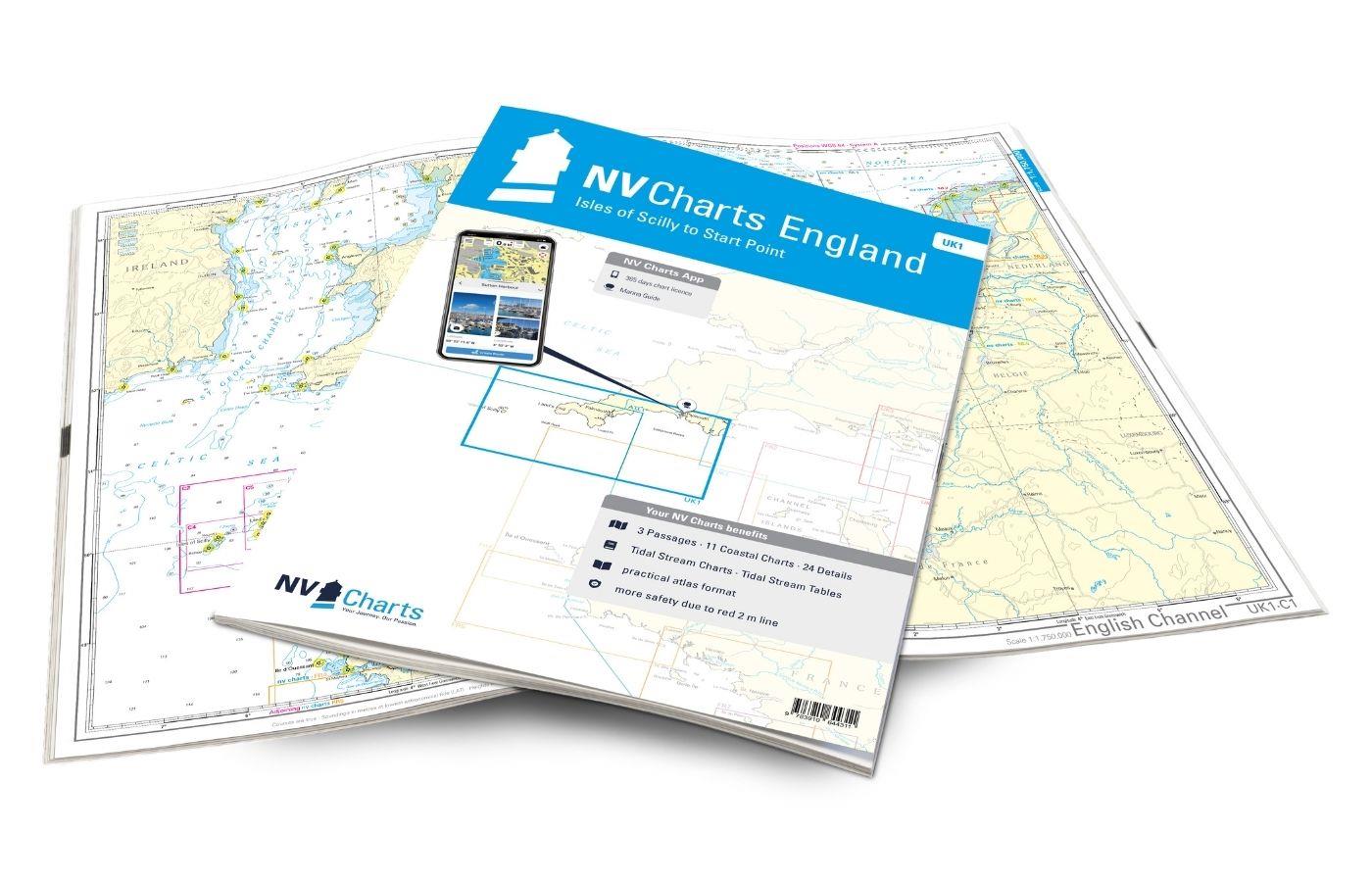
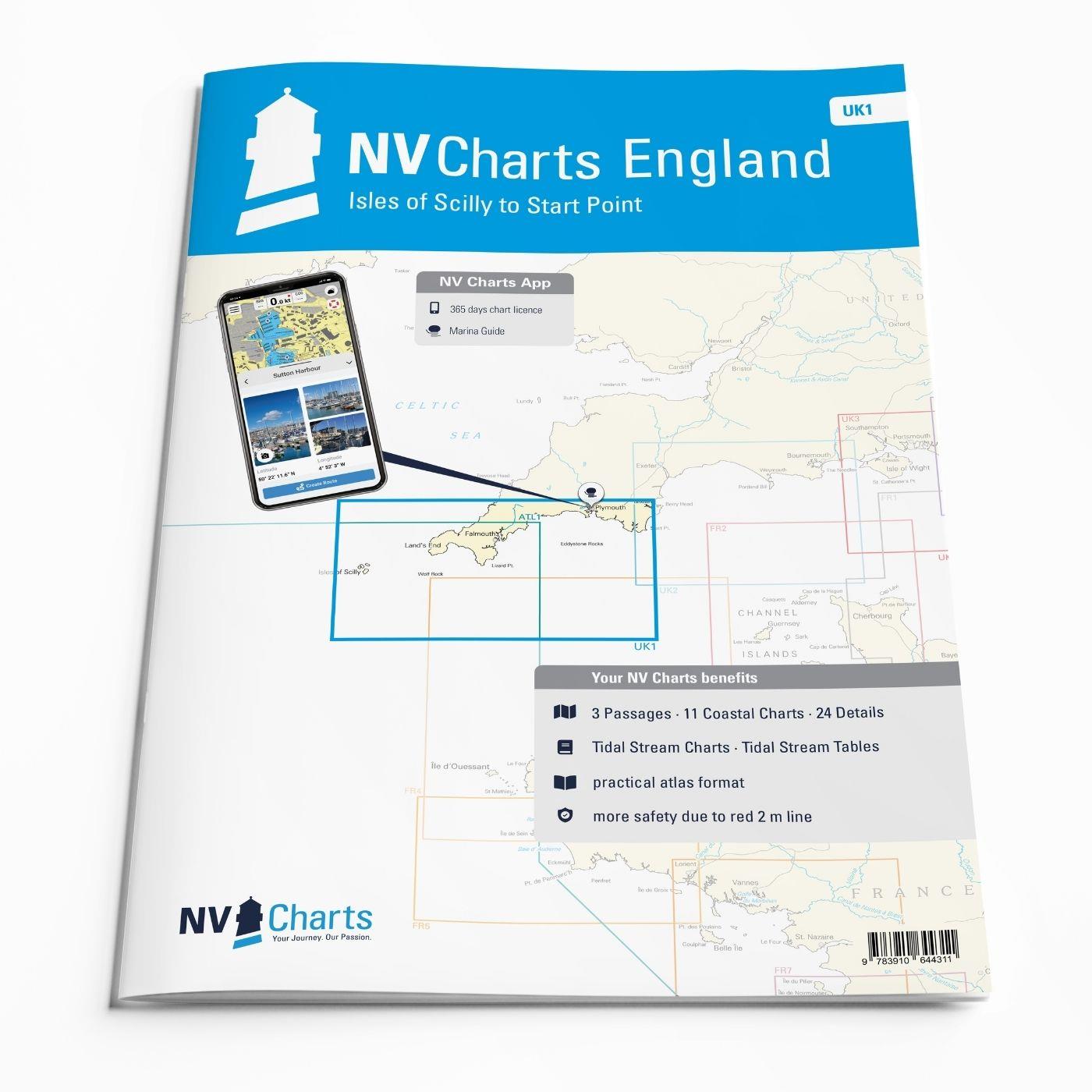
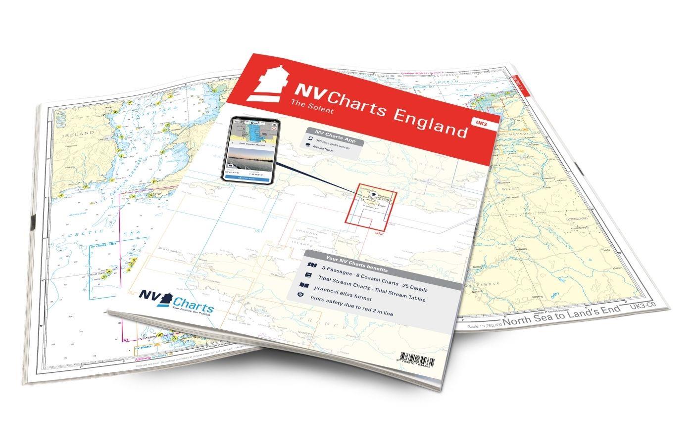
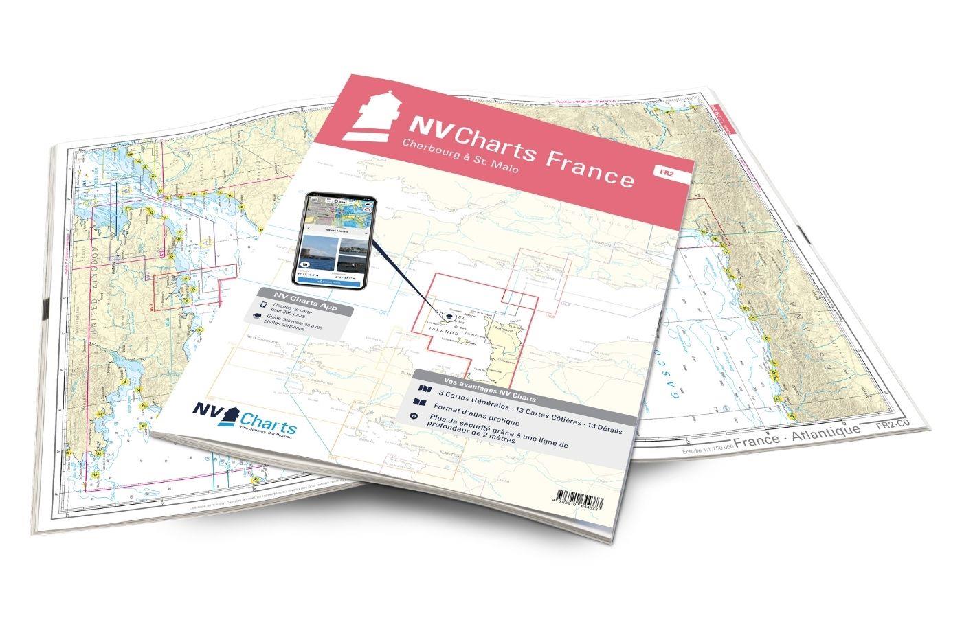
NV Charts Engeland UK1 - Scilly Isles to Start Point
Description
The NV Charts England UK1 will guide you along the fascinating southwest coast of Great Britain . Our charts are based on official data from the United Kingdom Hydrographic Office (UKHO) and include additional harbor plans and details for approaches and passages in the waters. Thanks to the clear layout, approaches, ports and anchorages can be found quickly and important navigational details, which also appear in the NV Charts app, are pointed out. Tidal data is available in tables and also as a chart on paper. The chart series impresses with its optimal dimensions and balanced sheet sections.
Overview of regions
The UK1 takes you from the start point directly to historic Plymouth, where the River Tamar forms the border between Devon and Cornwall. The Atlantic is close by and this becomes clear on the romantic Cornish coast. Falmouth and Helford, delightful harbor towns, are ideal starting points. Under the protection of the Cornish coast, you can reach Mounts Bay around Lizard Point. Places like Mousehole are definitely worth a visit. From charming Land's End you can reach the Isles of Scilly. The subtropical climate makes it easy to explore the 140 islets in the middle of the Atlantic. If the winds are too strong, it is better to stay in the coast and enjoy the west coast of Cornwall as far as Cape Cornwall.
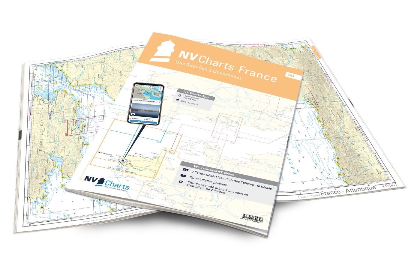
As a supplement to this map set, we recommend the NV Charts France FR4 to take the direct route to France. For an onward journey eastwards along the English coast, the Atlas UK2 .
This map set includes
- 3 Passage charts
- 11 territory cards
- 24 detailed maps
- Digital charts for navigation program and NV Charts App 356-day license
- Navigation instructions in English
- Tide tables
- Port plans paper & digital
- Meets all legal requirements for up-to-date paper charts on board
All advantages at a glance
- NV Atlas chart format: Practical, handy atlas format, opened in A2, closed in A3 format, flat staple binding in the middle - makes it easy to work with the course triangle
- NV Charts app: including access code to the digital nautical charts of the purchased area in the NV Charts app with 365-day license, for offline navigation with the app on iOS, Android, PC, Mac or in the web browser, comprehensive port manual
- Extremely detailed: Nautical charts based on data from official surveys and own surveys, particularly detailed outside the main fairways
- Optimized for recreational boating
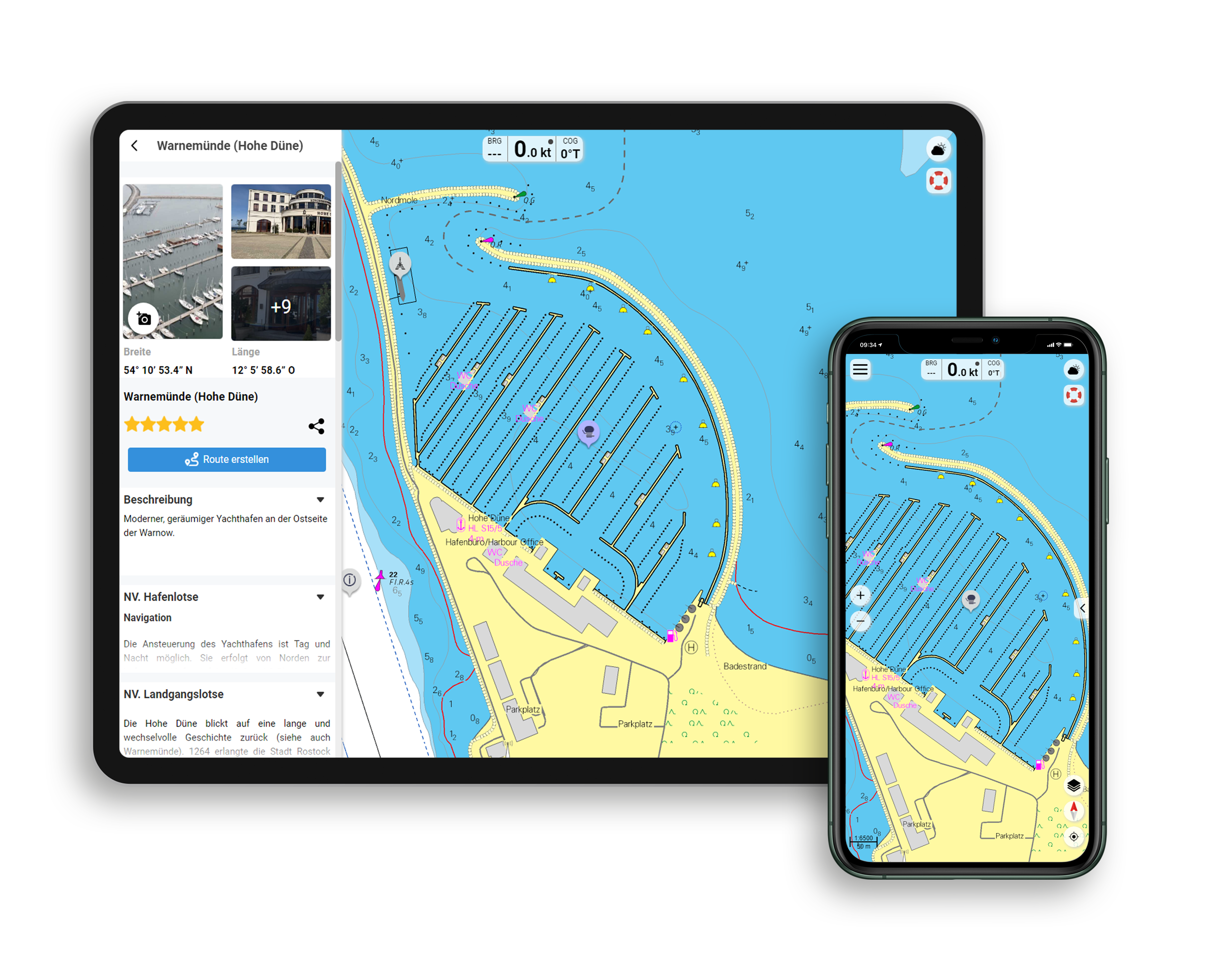
Functions of the NV Charts app
- Flexible autorouting
- Satellite overlay
- Augmented reality
- VMG (Velocity Made Good)
- BoatView harbor guide
- Track recording
- AIS connection and much more.
Charts and measures included
Passage charts
C1 English Channel 1: 1,750,000 , C2 Isles of Scilly to Plymouth 1: 350,000 , C3 Plymouth to Bournemouth 1: 350,000
District maps
C4 Isles of Scilly to Land's End 1: 150,000 , C5 Land's End to Lizard Pt. 1: 150,000 , C6 Lizard Pt. to Plymouth 1: 150,000 , C7 Plymouth to Brixham 1: 150,000 , C8 Land's End to Lizard Pt. 1: 75,000 , C9 Lizard Pt. to Veryan Bay 1: 75,000 , C10 Veryan Bay to Looe Bay 1: 75,000 , C11 Looe Bay to Bigbury Bay 1: 75,000 , C12 Bigbury Bay to Dartmouth 1: 75,000 , C13 Isles of Scilly 1: 40,000 , C14 Approaches to St. Mary's 1: 25,000
Detailed maps
C15A St. Mary's 1: 12,000 , C15B Land's End 1: 15,000 , C15C Hella Point - Runnel Stone 1: 15,000 , C16A Penzance 1: 15,000 , C16B Porthleven 1: 6,000 , C16C Mullion Cove 1: 6. 000 , C16D Lizard Point 1: 20,000 , C17A/B River Helford 1: 15,000 , C18 Falmouth Estuary 1: 15,000 , C19 Rivers Fal & Truro 1: 15,000 , C19A Truro 1: 15. 000 , C20 Falmouth Harbour 1: 6,000 , C20A Mylor 1: 6,000 , C21 River Fowey South 1: 10,000 , C22A River Fowey North 1: 18,000 , C22B Mevagissey 1: 6,000 , C22C Looe 1: 15. 000 , C23 Plymouth Sound 1: 15,000 , C24 Plymouth - Hamoaze 1: 15,000 , C25A/B Plymouth Harbours 1: 6,000 , C26 River Yealm 1: 15,000 , C27 Salcombe 1: 15,000
C28 Legend - General Notes , C29 Tidal Stream Charts , C30 Tide Tables - Tidal Stream Tables
| App License: | NV Charts App |
|---|---|
| Format: | NV Atlas, Gebundener Kartensatz |
With the help of our area preview, you can get an impression of which geographical region the product deals with or which areas a nautical chart covers.
Recommended by NV Charts
Related products to this item
Reviews
Login

