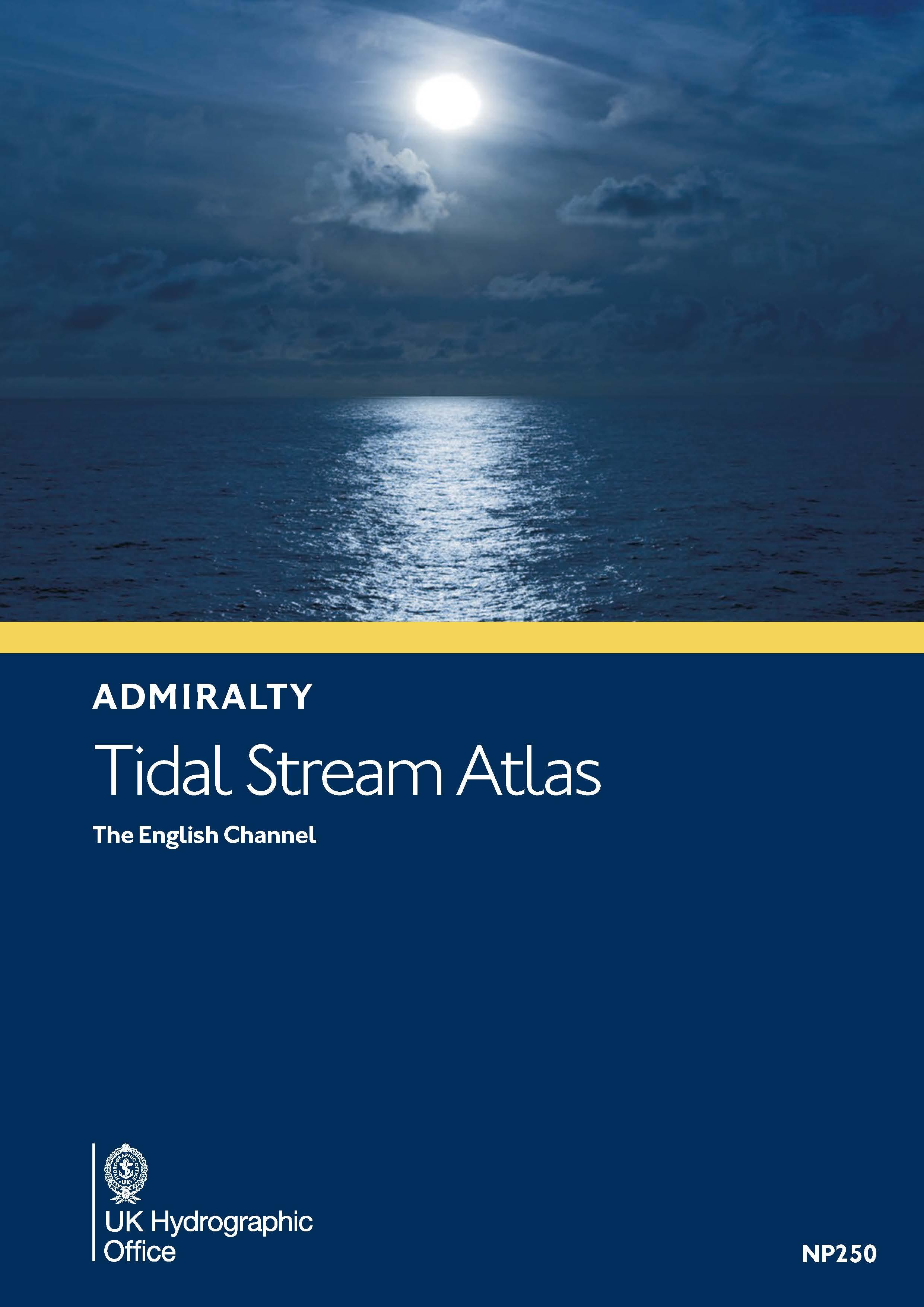
Gezeitenstromatlas NP250 The English Channel

Chart ID: NP250

€33.90*


Product number: 30404

Description

BA NP250 Tidal Stream Atlas: The English Channel

Tidal streams diagrams include detailed tidal stream direction and strength information. They show at a glance the direction and rate of tidal streams display neap and spring tidal rates in tenths of a knot and help you to calculate the tidal stream rate on any particular day.

Format: Softcover / Taschenbuch
Language: Englisch
Area preview

With the help of our area preview, you can get an impression of which geographical region the product deals with or which areas a nautical chart covers.

Related products to this item

Related products to this item

Gebietsvorschau für Gezeitenstromatlas NP251 North Sea, Southern Part öffnen
Gezeitenstromatlas NP251 North Sea, Southern Part
Tidal streams diagrams include detailed tidal stream direction and strength information. They show at a glance the direction and rate of tidal streams display neap and spring tidal rates in tenths of

€33.90*
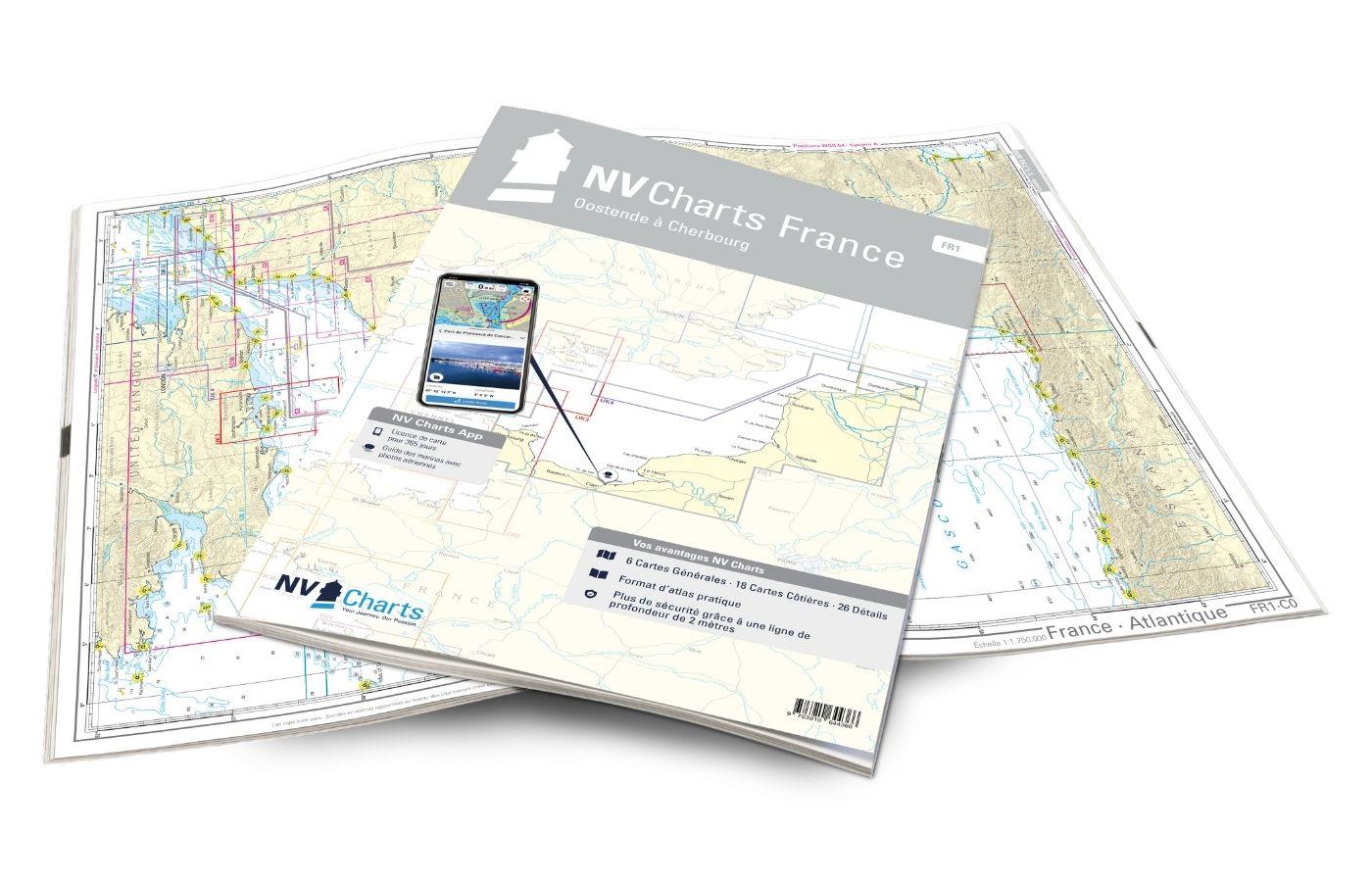
Gebietsvorschau für NV Charts France FR1 - Oostende à Cherbourg öffnen
NV Charts France FR1 - Oostende à Cherbourg
For water sports enthusiasts who want to explore the French canal coast, the NV Charts Atlas FR1 which accompanies you along the coast from Dunkirk (Dunkerque) to Cherbourg. Thanks to the clear layout

€64.99*
Gebietsvorschau für Shell Channel Pilot öffnen
Shell Channel Pilot
English Channel Cruising GuideThe "Shell Channel Pilot" cruising guide is suitable for all water sports enthusiasts who wish to explore the English Channel on both the French and English sides. It cov

€50.50*
Gebietsvorschau für Gezeitenstromatlas NP265 France, West Coast öffnen
Gezeitenstromatlas NP265 France, West Coast
Admiralty Tidal Stream Atlas - France West Coast Edition 2005.item is not in stock. Delivery time 7 days

€33.90*
Gebietsvorschau für Gezeitenstromatlas NP253 North Sea, Eastern Part öffnen
Gezeitenstromatlas NP253 North Sea, Eastern Part
Admiralty Tidal Stream Atlas - North Sea Eastern

€33.90*
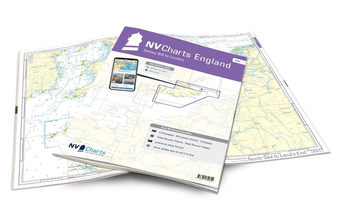
Gebietsvorschau für NV Charts England UK4 - Selsey Bill to London öffnen
NV Charts England UK4 - Selsey Bill to London
The NV Charts England UK4 takes you past the historic North Foreland into the centre of London - or further west along the coast and towns such as Eastbourne and Brighton. Our charts are bas

€64.99*

Reviews

0 of 0 reviews

Leave a review!

Share your experiences with other customers.


Gebietsvorschau für CCC Orkney and Shetland Islands including North & Northeast Scotland öffnen
CCC Orkney and Shetland Islands including North & Northeast Scotland
A cruising guide to the Orkney and Shetland Islands which includes Fair Isle. This cruising guide also covers the "jumping off ports" on the south side of the Pentland Firth and the Scottish main

€48.50*
Gezeitentafeln 2025: Europäische Gewässer
Nautical publication with all tidal information and its forecasts as well as instructions for use for the tidal ranges in Europe. The "Gezeitentafeln 2025: Europäische Gewässer" (Tide Tables for

€28.00*
Gebietsvorschau für Reeds Nautical Almanac 2024 öffnen
Reeds Nautical Almanac 2024
The comprehensive cruising guide for the North Sea, British Isles and European Atlantic coast offers all the information you need in a compact almanac, from passage planning and up-to-date port plans

€59.00*
Gebietsvorschau für Gezeitenstromatlas NP251 North Sea, Southern Part öffnen
Gezeitenstromatlas NP251 North Sea, Southern Part
Tidal streams diagrams include detailed tidal stream direction and strength information. They show at a glance the direction and rate of tidal streams display neap and spring tidal rates in tenths of

€33.90*
Gebietsvorschau für Gezeitenstromatlas NP265 France, West Coast öffnen
Gezeitenstromatlas NP265 France, West Coast
Admiralty Tidal Stream Atlas - France West Coast Edition 2005.item is not in stock. Delivery time 7 days

€33.90*
Reeds Eastern Almanac 2025
Detailed guide to the east coast of England to the Shetland Islands and the North Sea coast of the Netherlands and Belgium.A great aid for watersports enthusiasts in a handy spiral binding. Extracted

€50.10*
CCC Firth of Clyde
Firth of Clyde covers everything from the busy waters of the Firth of Clyde and River Clyde to the more remote areas of the wider estuary and connected lochs, including the protected and beautiful Kyl

€48.50*
Reeds Channel Almanac 2025
Detailed guide to the Channel coastA great help for water sports enthusiasts in a handy spiral binding. Extracted from the large "Reeds Nautical Almanac" with full details - the coverage is limited to

€50.10*
Gebietsvorschau für Secret Anchorages of Brittany öffnen
Secret Anchorages of Brittany
A detailed cruising guide to Brittany in FranceThe cruising guide "Secret Anchorages of Brittany" is suitable for all water sports enthusiasts planning a trip to Brittany. It covers the entire region

€38.80*
The Cruising Almanac 2025
Detailed cruising guide from the Baltic Sea to GibraltarThe Cruising Almanac, an annual harbour guide, covers most of the varied coasts of NW Europe and includes England, Ireland, Scotland, southern N

€57.90*
Gebietsvorschau für Channel Islands, Cherbourg Peninsula and North Brittany öffnen
Channel Islands, Cherbourg Peninsula and North Brittany
This popular pilotage guide covers the waters of the Channel Islands and the neighbouring French coast from the north-east of the Cherbourg Peninsula westwards along the coast of Normandy and Brittany

€63.50*