Skip to main content Skip to search Skip to main navigation

Product information "North Sea Passage Pilot"

Southern North Sea passage guide with passage routes for traversing this challenging tidal area between the English east coast and the west coasts of the Netherlands and Belgium.

The North Sea Passage Pilot by Brian Navin covers the challenging tidal area between the Strait of Dover and the traffic separation areas to the German Bight in the southern North Sea. The sea area is heavily trafficked by large ships and is further narrowed by the new wind farms along the coasts. The area guide gives a good overview and then deals with the special features of the individual coastal sections with all the necessary details.
Including details of the new wind farms in the Thames Estuary and off the Belgian and Dutch North Sea coasts. In recent years numerous traffic separation areas have been changed . The current courses and rules can be found in the corresponding chapters.

Practically prepared area information on 235 pages with numerous photos and map sections. Text in English. Softcover in DinA4 format.

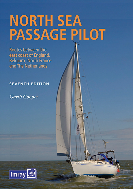
Cover:

The North Sea Passage Pilot provides valuable information on the rivers and harbours on both sides of the North Sea and the passages between these coasts.

North Sea Pasage Pilot for the Southern North Sea

Content:

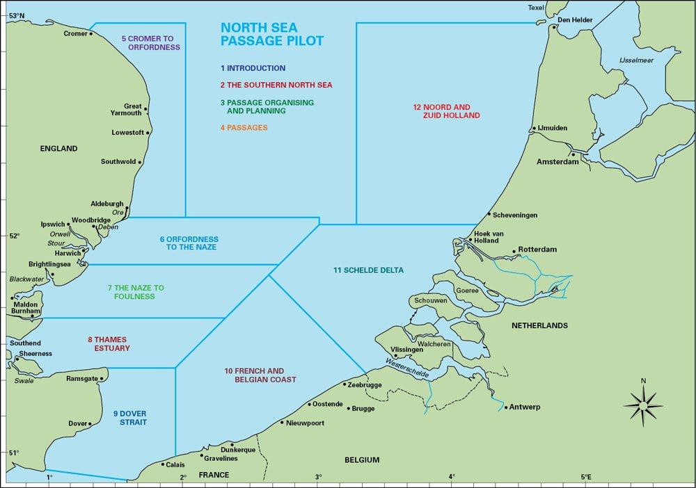
The first section presents general information about the North Sea as well as trip planning basics.

  • Section I. General
    1. Introduction
    2. The southern North Sea
    3. Passage organising and planning

The second section presents in detail the local characteristics of each section. At the beginning there are route notes for crossings of the North Sea from England to the continent.

  • Section II. Pilotage
    1. Passages
    2. Norfolk & Suffolk cost from Cromer to Orfordness
    3. Suffolk & Essex coast and rivers from Orfordness to the Naze
    4. The Essex coast and rivers from the Naze to Foulness
    5. The Thames Estuary from Foulness to North Foreland
    6. Dover Strait
    7. The French & Belgian coast from Gravelines to Zeebrugge
    8. The Schelde Delta
    9. Noord and Zuid Holland

Finally there is an appendix with among other things.with location index current maps GMDSS information and other information.

Properties "North Sea Passage Pilot"
Author: Brian Navin
Format: Hardcover / gebunden
Language: Englisch
Size: Softcover
Properties "North Sea Passage Pilot"
Author: Brian Navin
Format: Hardcover / gebunden
Language: Englisch
Size: Softcover

0 of 0 reviews

Average rating of 0 out of 5 stars

Leave a review!

Share your experiences with other customers.


Area preview

With the help of our area preview, you can get an impression of which geographical region the product deals with or which areas a nautical chart covers.

Other customers bought also

Gebietsvorschau für NV Charts Pilot 2, North Sea - Falmouth to Kristiansand - Inverness öffnen
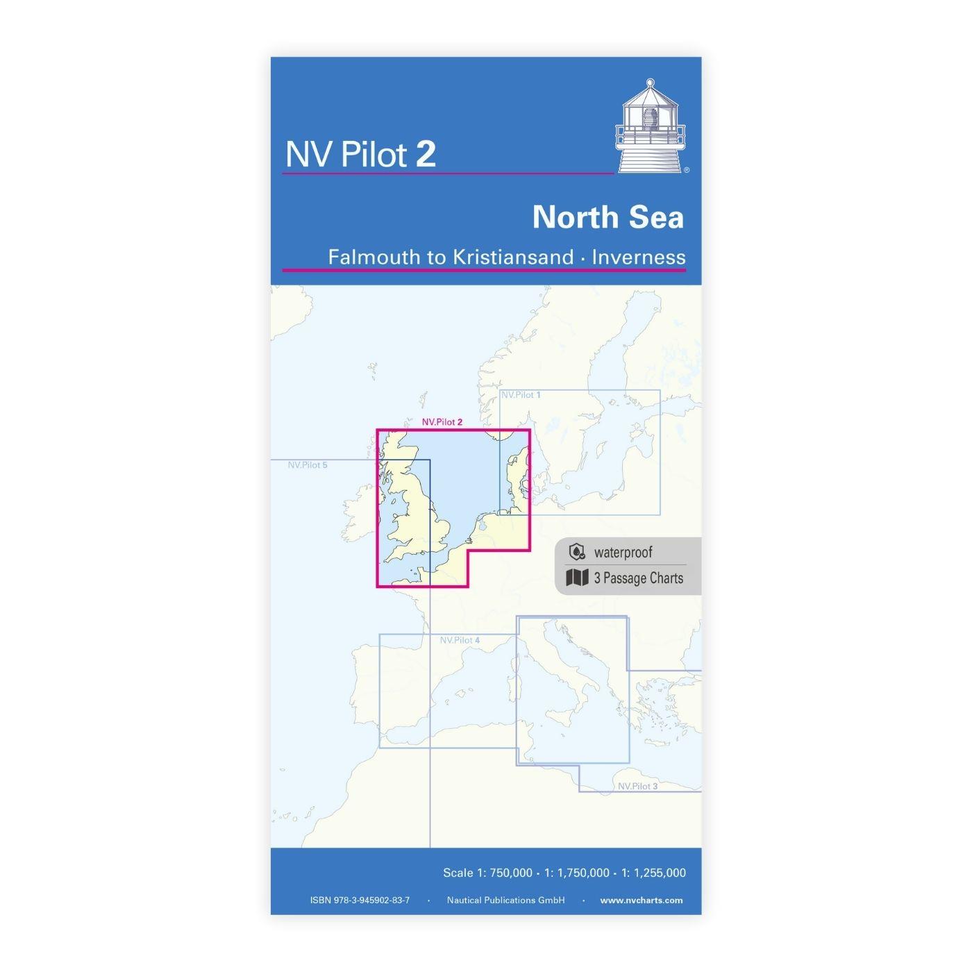
NV Charts Pilot 2, North Sea - Falmouth to Kristiansand - Inverness
NV Charts Pilot 2, North Sea - Falmouth to Kristiansand - InvernessThe Pilot 2 from NV Charts is the planning chart that is needed for the North Sea. The west coast of Denmark, the German North Sea an

€24.99*
Gastlandflagge Niederlande 30X45cm
Size: 30x45cm

Variants from €6.90*
€9.90*

Related products to this item

Gebietsvorschau für Shell Channel Pilot öffnen
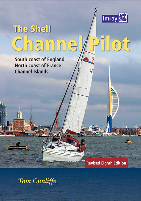
Shell Channel Pilot
English Channel Cruising GuideThe "Shell Channel Pilot" cruising guide is suitable for all water sports enthusiasts who wish to explore the English Channel on both the French and English sides. It cov

€50.50*
-21 %
Reeds Nautical Almanac 2025
The comprehensive cruising guide for the North Sea, British Isles and European AtlanticThe detailed cruising guide offers all the information you need in a compact almanac, from passage planning and u

€51.90* €65.90* (21.24% saved)
Gebietsvorschau für Isles of Scilly öffnen
Isles of Scilly
The Isles of Scilly Cruising Guide The new edition of this comprehensive guide to the Isles of Scilly has been completely revised and updated. Background information on the islands their history and f

€44.90*
Gebietsvorschau für NV Charts Pilot 2, North Sea - Falmouth to Kristiansand - Inverness öffnen
NV Charts Pilot 2, North Sea - Falmouth to Kristiansand - Inverness
NV Charts Pilot 2, North Sea - Falmouth to Kristiansand - InvernessThe Pilot 2 from NV Charts is the planning chart that is needed for the North Sea. The west coast of Denmark, the German North Sea an

€24.99*

Similar products

Gebietsvorschau für CCC Orkney and Shetland Islands including North & Northeast Scotland öffnen
CCC Orkney and Shetland Islands including North & Northeast Scotland
A cruising guide to the Orkney and Shetland Islands which includes Fair Isle. This cruising guide also covers the "jumping off ports" on the south side of the Pentland Firth and the Scottish main

€48.50*
Gezeitentafeln 2025: Europäische Gewässer
Nautical publication with all tidal information and its forecasts as well as instructions for use for the tidal ranges in Europe. The "Gezeitentafeln 2025: Europäische Gewässer" (Tide Tables for

€28.00*
Gebietsvorschau für Gezeitenstromatlas NP251 North Sea, Southern Part öffnen
Gezeitenstromatlas NP251 North Sea, Southern Part
Tidal streams diagrams include detailed tidal stream direction and strength information. They show at a glance the direction and rate of tidal streams display neap and spring tidal rates in tenths of

€33.90*
Lochs and lights
An illustrated book of the west coast of mainland Scotland by Patrick Roach and Gordon Buchanan.Lochs and Light' is an illustrated book of stunning aerial photographs of the west coast of Scotland, on

€14.80*
Gebietsvorschau für Törnführer Holland 1 öffnen
Törnführer Holland 1
Revierinformationen für den südlichen Teil der Niederlande mit TörnbeschreibungenDer Törnführer Holland 1 gibt wertvolle nautische Informationen zu den Binnengewässern im Südteil der Niederlande und i

€39.90*
Gebietsvorschau für Isles of Scilly öffnen
Isles of Scilly
The Isles of Scilly Cruising Guide The new edition of this comprehensive guide to the Isles of Scilly has been completely revised and updated. Background information on the islands their history and f

€44.90*
Reeds Eastern Almanac 2025
Detailed guide to the east coast of England to the Shetland Islands and the North Sea coast of the Netherlands and Belgium.A great aid for watersports enthusiasts in a handy spiral binding. Extracted

€50.10*
Gebietsvorschau für Gezeitenstromatlas NP250 The English Channel öffnen
Gezeitenstromatlas NP250 The English Channel
BA NP250 Tidal Stream Atlas: The English ChannelTidal streams diagrams include detailed tidal stream direction and strength information. They show at a glance the direction and rate of tidal streams d

€33.90*
Gebietsvorschau für Bloc Marine : Atlantique öffnen
Bloc Marine : Atlantique
The Bloc Marine : AtlantiqueFor accurate information on port areas safety at sea and legal requirements in recreational boating the Bloc Marine Atlantique is a first-class travel companion. It include

€36.00*
Reeds Channel Almanac 2025
Detailed guide to the Channel coastA great help for water sports enthusiasts in a handy spiral binding. Extracted from the large "Reeds Nautical Almanac" with full details - the coverage is limited to

€50.10*
Gebietsvorschau für Secret Anchorages of Brittany öffnen
Secret Anchorages of Brittany
A detailed cruising guide to Brittany in FranceThe cruising guide "Secret Anchorages of Brittany" is suitable for all water sports enthusiasts planning a trip to Brittany. It covers the entire region

€38.80*
Gebietsvorschau für CCC Ardnamurchan to Cape Wrath öffnen
CCC Ardnamurchan to Cape Wrath
CCC Sailing Directions - Ardnamurchan to Cape WrathThe area covered in this guide covers the northern section of the Scottish west coast from Ardnamurchan Point to Cape Wrath, including the whole of S

€48.50*