Skip to main content Skip to search Skip to main navigation

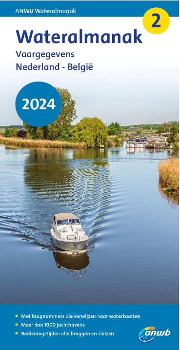
Wateralmanak 2

Sound signals of the Inland Police (BPR) and the Rhine Police (RPR)

This almanac includes the opening hours of all bridges and locks in the Netherlands and Belgium. The work produced as a pocket book offers references to more than 1000 marinas with supply points and fees. The Wateralmanak 2 is published In Dutch with German character and abbreviation explanations. 940 pages. Published annually approx. in March.

Vaargegevens / Notices to Navigation

  • With bridge numbers referring to the ANWB water charts 
  • More than 1.000 marinas and yacht harbours
  • Operating times of all bridges and locks
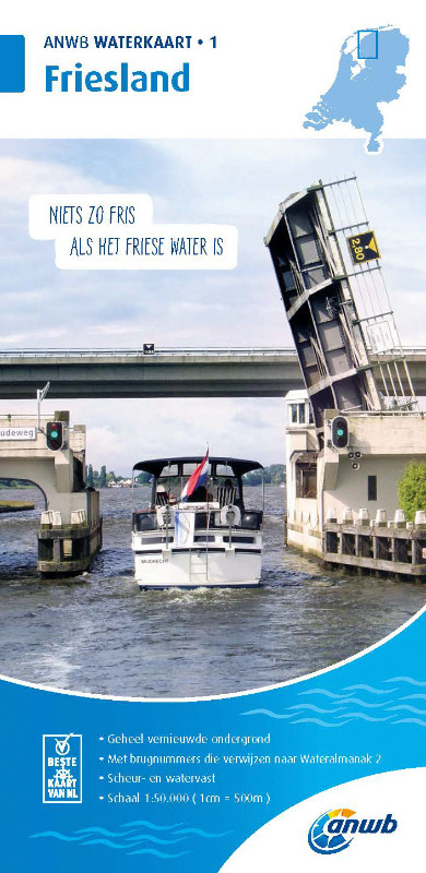
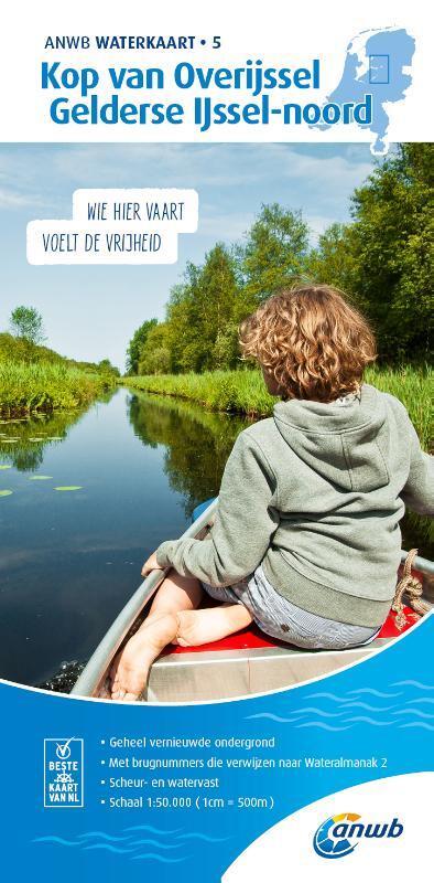
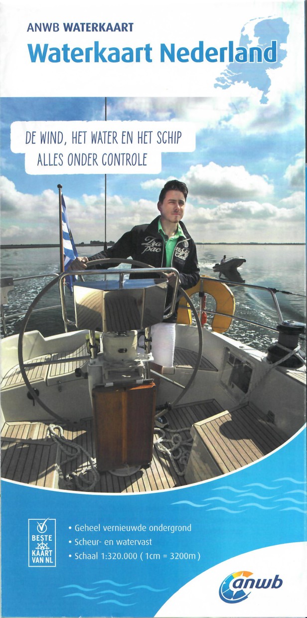
Comprehensive and detailed presentation of all navigational and nautical information with reference to the ANWB Waterkart products for the Dutch inland waters. Practical and helpful all the information necessary for recreational boaters is compiled in one pocketbook. To ensure that the book is up to date it is published annually. An indispensable aid on board. With two-colour harbour plans.
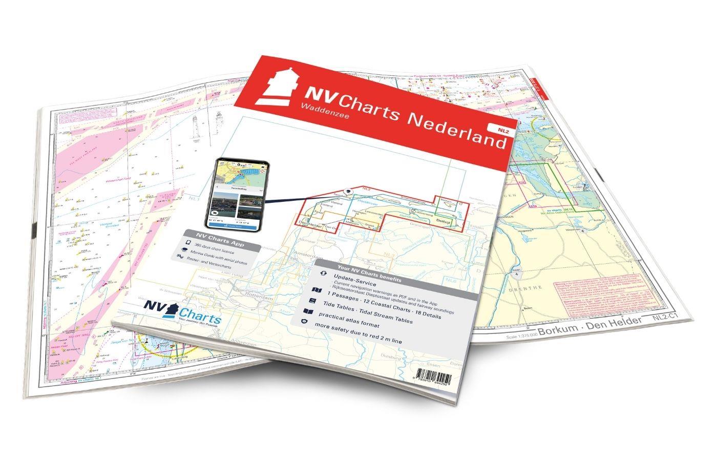
For navigation in the varied waters of the Netherlands we recommend the practical atlases of the "NL Series" from NV Charts.
 
  • Measures: 21x105x4 cm
  • Number of pages: 940
  • Edition: 2024
Properties "ANWB Wateralmanak 2 (Brückenzeiten)"
Author: ANWB
Language: Niederländisch
Region: Inland , Niederlande, Binnen
Size: Softcover
Properties "ANWB Wateralmanak 2 (Brückenzeiten)"
Author: ANWB
Language: Niederländisch
Region: Inland , Niederlande, Binnen
Size: Softcover

0 of 0 reviews

Average rating of 0 out of 5 stars

Leave a review!

Share your experiences with other customers.


Area preview

With the help of our area preview, you can get an impression of which geographical region the product deals with or which areas a nautical chart covers.

Other customers bought also

Subs.available
Gebietsvorschau für NV Charts Nederland NL3 - IJsselmeer & Randmeeren öffnen
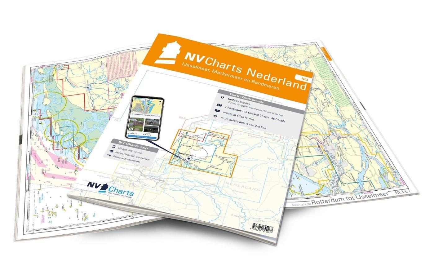
NV Charts Nederland NL3 - IJsselmeer & Randmeeren
Purchase type: One-time
For a trip through the popular sailing area of the IJsselmeer is the NL3 the right choice. Once you have passed one of the lock gates, nothing stands in the way of an eventful trip. The IJsselmmeer do

Variants from €51.99*
€64.99*
Gebietsvorschau für NV Charts Nederland NL6 - Waterkaart Nederland Noord - Friesland - Arnhem öffnen
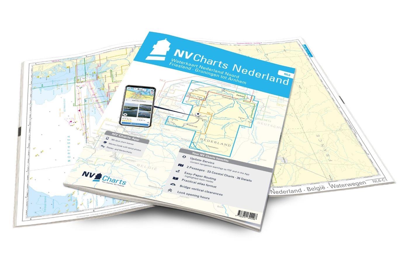
NV Charts Nederland NL6 - Waterkaart Nederland Noord - Friesland - Arnhem
Inland water chart NetherlandsFor the northern part of the inland waters of the Netherlands, the NL6 Waterkaart Nederland North a practical and handy travelling companion. Together with the NL7 (Water

€64.99*
Gebietsvorschau für Törnführer Holland 1 öffnen
Törnführer Holland 1
Revierinformationen für den südlichen Teil der Niederlande mit TörnbeschreibungenDer Törnführer Holland 1 gibt wertvolle nautische Informationen zu den Binnengewässern im Südteil der Niederlande und i

€39.90*
Gebietsvorschau für NV Charts Nederland NL7 - Waterkaart Nederland Zuid - Arnhem - Maastricht öffnen
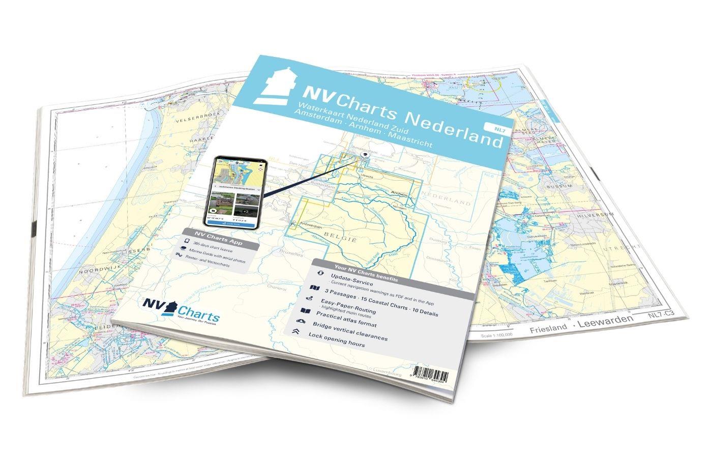
NV Charts Nederland NL7 - Waterkaart Nederland Zuid - Arnhem - Maastricht
For the southern part of the Dutch inland waterways, the NL7 Waterkaart Nederland Zuid is a practical and handy travelling companion. Together with the NL6 (Waterkaart Nederland Nord), the entire inla

€64.99*

Related products to this item

Gebietsvorschau für NV Charts Nederland NL6 - Waterkaart Nederland Noord - Friesland - Arnhem öffnen
NV Charts Nederland NL6 - Waterkaart Nederland Noord - Friesland - Arnhem
Inland water chart NetherlandsFor the northern part of the inland waters of the Netherlands, the NL6 Waterkaart Nederland North a practical and handy travelling companion. Together with the NL7 (Water

€64.99*
Gebietsvorschau für NV Charts Nederland NL7 - Waterkaart Nederland Zuid - Arnhem - Maastricht öffnen
NV Charts Nederland NL7 - Waterkaart Nederland Zuid - Arnhem - Maastricht
For the southern part of the Dutch inland waterways, the NL7 Waterkaart Nederland Zuid is a practical and handy travelling companion. Together with the NL6 (Waterkaart Nederland Nord), the entire inla

€64.99*
Gebietsvorschau für NV Charts Nederland NL3 - IJsselmeer & Randmeeren öffnen
NV Charts Nederland NL3 - IJsselmeer & Randmeeren
For a trip through the popular sailing area of the IJsselmeer is the NL3 the right choice. Once you have passed one of the lock gates, nothing stands in the way of an eventful trip. The IJsselmmeer do

Variants from €51.99*
€64.99*

Similar products

Gezeitentafeln 2025: Europäische Gewässer
Nautical publication with all tidal information and its forecasts as well as instructions for use for the tidal ranges in Europe. The "Gezeitentafeln 2025: Europäische Gewässer" (Tide Tables for

€28.00*
Gebietsvorschau für Gezeitenstromatlas NP251 North Sea, Southern Part öffnen
Gezeitenstromatlas NP251 North Sea, Southern Part
Tidal streams diagrams include detailed tidal stream direction and strength information. They show at a glance the direction and rate of tidal streams display neap and spring tidal rates in tenths of

€33.90*
Gebietsvorschau für Törnführer Holland 1 öffnen
Törnführer Holland 1
Revierinformationen für den südlichen Teil der Niederlande mit TörnbeschreibungenDer Törnführer Holland 1 gibt wertvolle nautische Informationen zu den Binnengewässern im Südteil der Niederlande und i

€39.90*
Reeds Eastern Almanac 2025
Detailed guide to the east coast of England to the Shetland Islands and the North Sea coast of the Netherlands and Belgium.A great aid for watersports enthusiasts in a handy spiral binding. Extracted

€50.10*
Gebietsvorschau für Törnführer Holland 2 - Das IJsselmeer und die nördlichen Provinzen öffnen
Törnführer Holland 2 - Das IJsselmeer und die nördlichen Provinzen
District information for the IJsselmeer and the northern part of the Netherlands with trip descriptionsThe Trip Guide Holland 2 gives valuable nautical information on the inland waters in the north of

€39.90*
Gebietsvorschau für Nautische Reisetipps Watteninseln Niederlande öffnen
Nautische Reisetipps Watteninseln Niederlande
A practical guide for recreational skippers sailing on their own keel in the Dutch Wadden Sea.Kilimanjaro in Tanzania the Great Barrier Reef in Australia and the Dutch Wadden Sea have at least tw

€19.95*
-13 %
The Cruising Almanac 2025
Detailed cruising guide from the Baltic Sea to GibraltarThe Cruising Almanac, an annual harbour guide, covers most of the varied coasts of NW Europe and includes England, Ireland, Scotland, southern N

€49.90* €57.90* (13.82% saved)
Gebietsvorschau für NV Charts Nederland NL7 - Waterkaart Nederland Zuid - Arnhem - Maastricht öffnen
NV Charts Nederland NL7 - Waterkaart Nederland Zuid - Arnhem - Maastricht
For the southern part of the Dutch inland waterways, the NL7 Waterkaart Nederland Zuid is a practical and handy travelling companion. Together with the NL6 (Waterkaart Nederland Nord), the entire inla

€64.99*
Gebietsvorschau für Nautische Reisetipps Zeeland / Niederlande öffnen
Nautische Reisetipps Zeeland / Niederlande
The perfect cruising guide for Grevelingen Veerse Meer Oosterschelde WesterscheldeNewcomers as well as those who know the area whether under sail or motor will find useful information and tips for the

€19.95*
Gebietsvorschau für Gezeitenstromatlas NP253 North Sea, Eastern Part öffnen
Gezeitenstromatlas NP253 North Sea, Eastern Part
Admiralty Tidal Stream Atlas - North Sea Eastern

€33.90*
Nautische Reisetipps Belgische Küste
Guide for sailors and motor boaters along the Flemish coastThe Belgian coast may only be around 70 nautical miles long, but it offers a diverse and exciting environment for sailors and motor boaters.

€19.95*