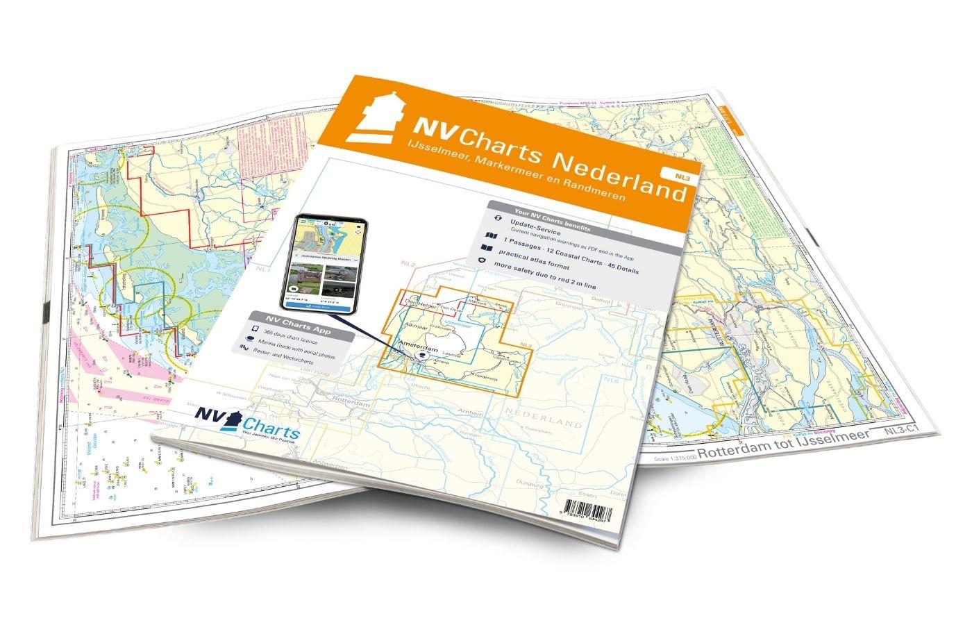
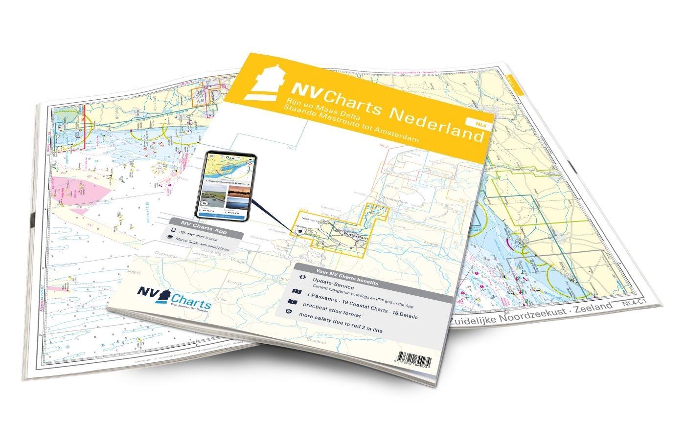
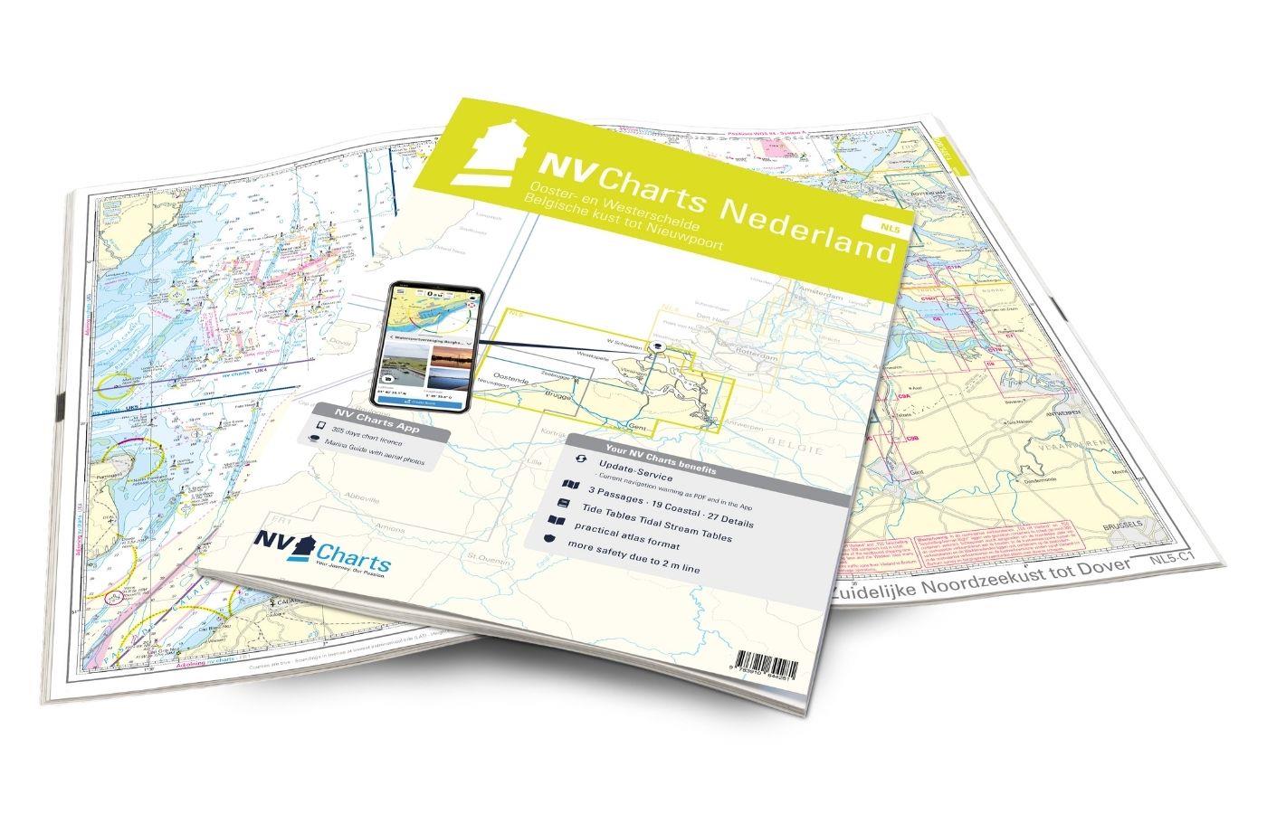
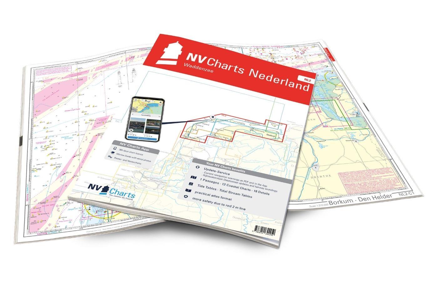
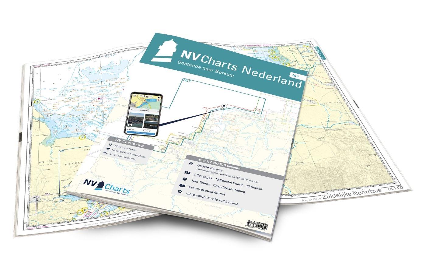
NV Charts Nederland NL7 - Waterkaart Nederland Zuid - Arnhem - Maastricht
Description
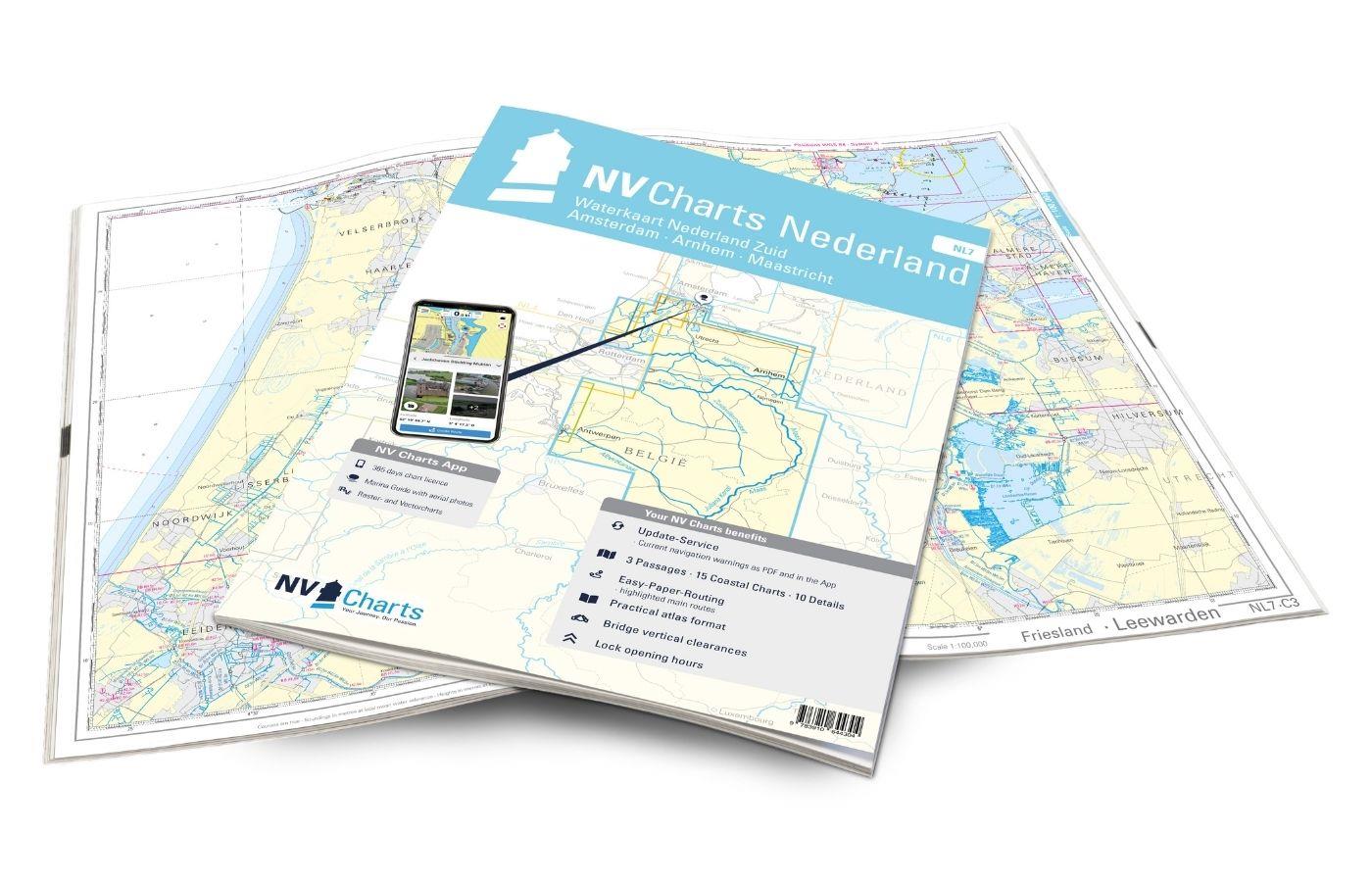
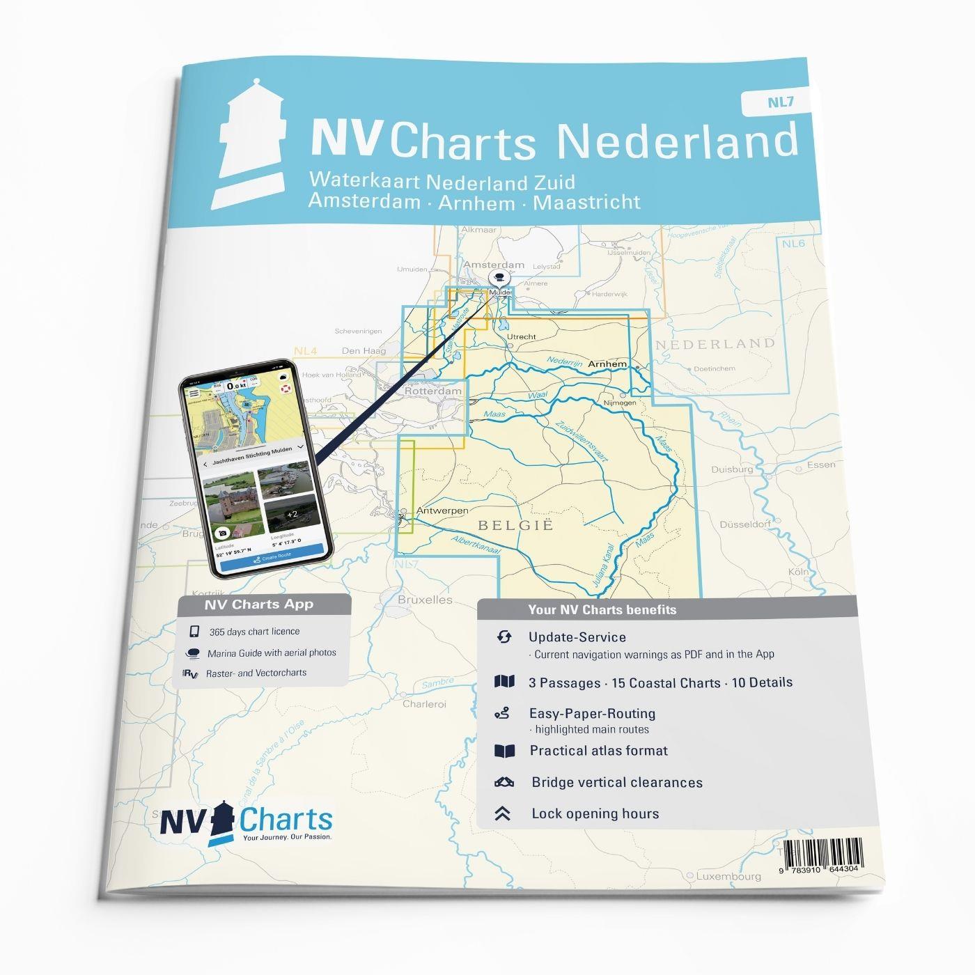
For the southern part of the Dutch inland waterways, the NL7 Waterkaart Nederland Zuid is a practical and handy travelling companion. Together with the NL6 (Waterkaart Nederland Nord), the entire inland area of the country can be explored. Thanks to the clear layout of the nautical chart, the recreational skipper can quickly find approaches, harbours and anchorages and is made aware of navigationally important details that also appear in the NV Charts app. Data on the locks and bridge ports is also available for navigation programmes and the app. The map series impresses with its detailed dimensions and optimised sheet sections.
Regions overview
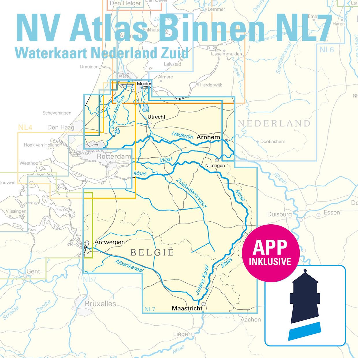
The atlas covers the cities of Maastricht, Eindhoven, Nijmegen, Roermond and Arnhem, among others. The canals typical of the Netherlands are almost all navigable and interconnected. With its canals and charming little towns, the varied Süden offers many opportunities for a relaxing day out. In contrast to the areas on the North Sea, strong winds, currents and tides are usually less pronounced in inland waters, which is why you can take it a little easier overall. The perfect area for beginners or sailors who want to gain some additional experience. Those who long for relaxation and peace and quiet and don't have to reckon too much with currents and tides will have a lot of fun in the inland waters and with the NL7!
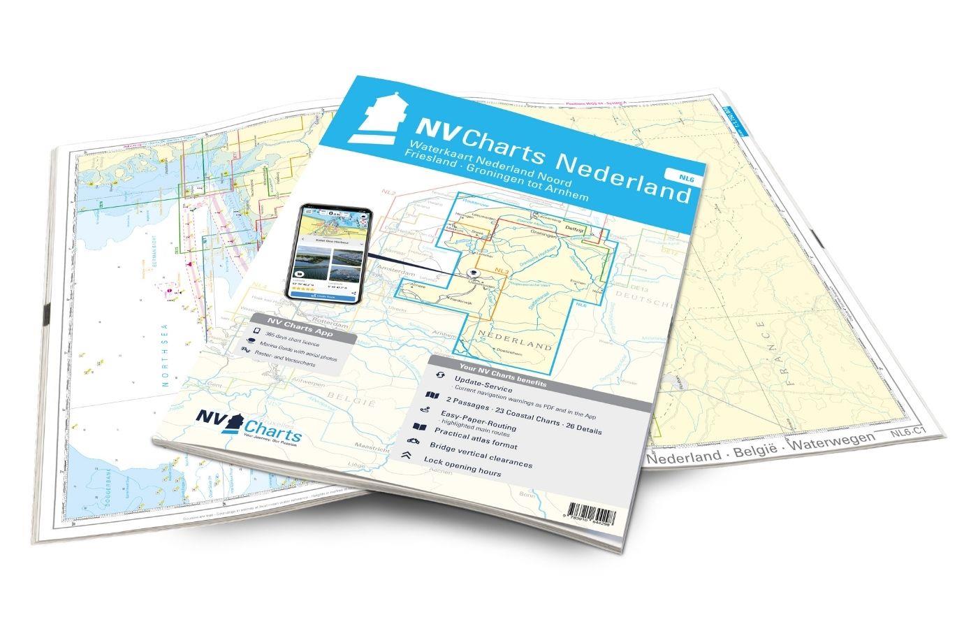
If you are travelling further inland to the north, the NL6 offers the ideal connection to this atlas. If the coast is the next destination, we recommend the NL3 towards the Ijsselmeer, the NL4 towards Rotterdam/ Meuse Delta or the NL5 towards the Oosterschelde and Westerschelde and Belgium.
This map set includes
- 3 &sailors
- 15 territory cards
- 10 detailed maps
- Direct access to the coastal regions
- Digital charts for navigation programme and NV Charts app 356-day licence
- Lock opening times
- Clearance heights of the bridges
All advantages at a glance
- NV Atlas chart format: Practical, handy atlas format, opened in A2, closed in A3 format, flat staple binding in the centre - makes it easy to work with the course triangle
- Always up-to-date: Updated edition every year, monthly correction service from April to October
- NV Charts App: including access code to the digital nautical charts of the purchased area in the NV Charts app with 365-day licence, for offline navigation with the app on iOS, Android, PC, Mac or in the web browser, comprehensive harbour manual
- Extremely detailed: Nautical charts based on data from official surveys and own surveys, particularly detailed outside the main fairways
- Optimised for recreational boating
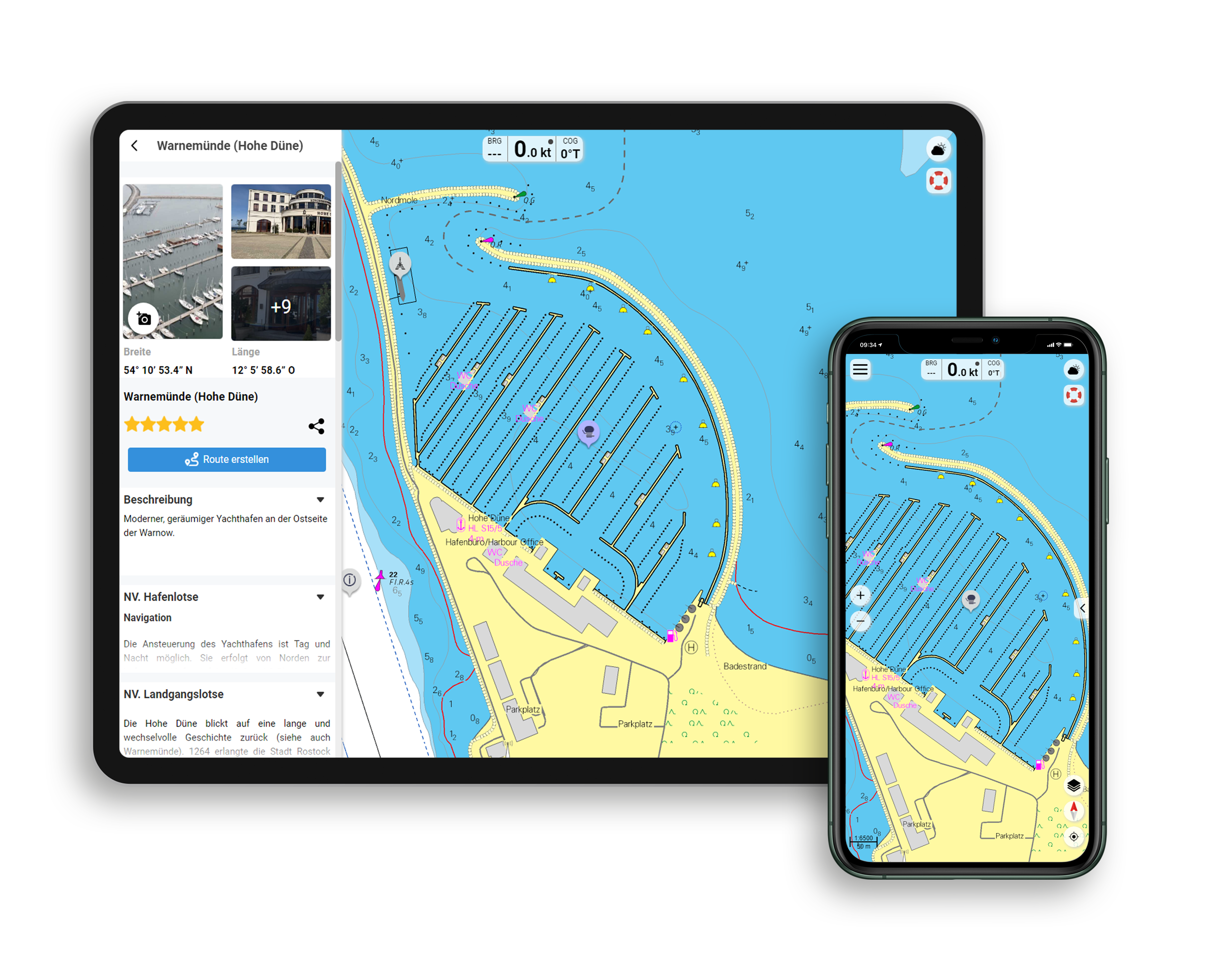
Functions of the NV Charts app
- Flexible autorouting
- Satellite overlay
- Augmented reality
- VMG (Velocity Made Good)
- BoatView harbour guide
- Track recording
- AIS connection and much more.
Charts and measures included
Übersegler
C 0 Nederland - België - Waterwegen 1:1,750,000, C 1 waterwegen noord - Nederland 1: 350,000, C 2 waterwegen zuid - Nederland - België 1: 375,000
District maps
C 3 Amsterdam tot Alphen 1: 100,000, C 4 Leiden tot Rotterdam 1: 100,000, C 5 Utrecht 1: 100,000, C 6 Tiel tot Nijmegen 1: 100,000, C 7 Eindhoven 1: 100,000, C 8 Roermond to Maastricht 1: 100,000, C 9 Herentals - Meerhout - Gent 1: 100. 000, C10 Antwerp 1: 100,000, C11A Hollandsch Diep 1: 100,000, C12 Dordrecht 1: 100,000, C13 Lommel - Tilburg tot Einhoven 1: 100,000, C18 Amsterdam tot Alpen 1: 50,000, C19 Alpen tot Rotterdam 1: 50,000
Detailed maps
C11B Weesp 1: 30,000, C11C Breukelen 1: 30,000, C14A Leiden 1: 30,000, C14B Gorinchem 1: 30,000, C14C Gauda 1: 30,000, C15 Utrecht 1: 30,000, C16 Amsterdam - Havens West 1: 20. 000, C17 Amsterdam - Havens Oost 1: 20,000, C18A Amsterdam - Staande Mastroute 1: 20,000, C20 Rotterdam 1: 20,000, C20A Rotterdam - Nieuwe Maas 1: 15,000, C21 Rotterdam - West 1: 30,000
| App License: | NV Charts App |
|---|---|
| Empfehlung: | Revierempfehlung Niederlande |
| Region: | Niederlande, Binnen |
| Size: | Atlas |
With the help of our area preview, you can get an impression of which geographical region the product deals with or which areas a nautical chart covers.
Reviews
Login
23 February 2021 21:06
ANWB Alternative
Habe die Karten schon mal vorbestellt, bin gespannt auf die Alternative zu den ANWB.

