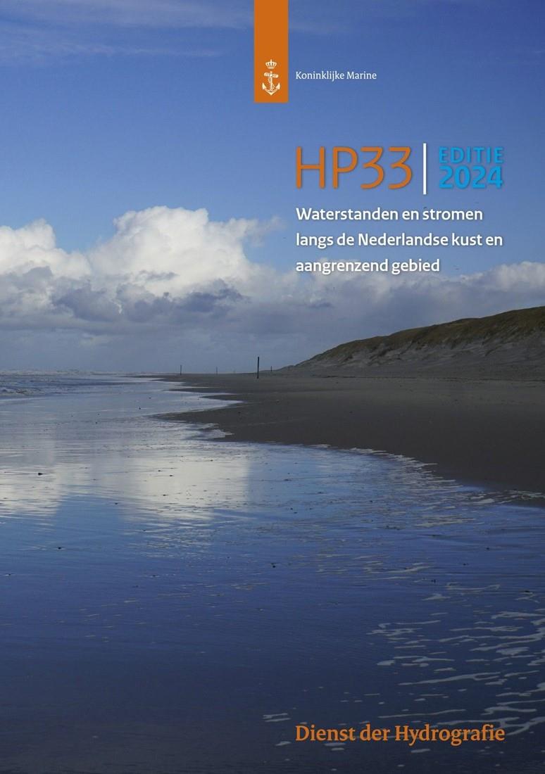
Waterstanden en Stromen (HP33)

€25.95*

Format
 
Product number: 31019
Manufacturer product number: HP33

Description


Format: Softcover / Taschenbuch
Language: Niederländisch
Area preview

With the help of our area preview, you can get an impression of which geographical region the product deals with or which areas a nautical chart covers.

Related products to this item

Related products to this item

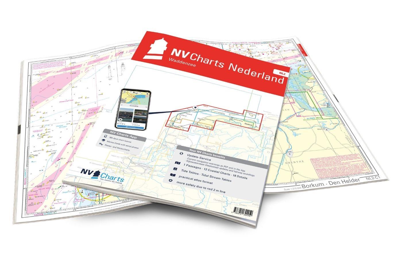
NV Atlas Nederland NL2 - Waddenzee
The NL2 is the ideal chart to experience the Waddenzee region. The water sports area is characterized by a high tidal range and a rough, sometimes almost untouched landscape. The chart covers the Germ

Variants from €58.49*
€64.99*
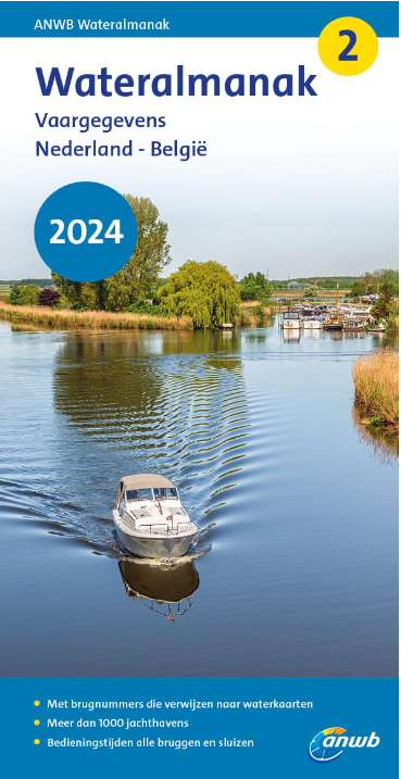
ANWB Wateralmanak 2 (Brückenzeiten)
Version 2023 will be available at the end of March!Wateralmanak 2 Sound signals of the Inland Police (BPR) and the Rhine Police (RPR)This almanac includes the opening hours of all bridges an

€21.99*
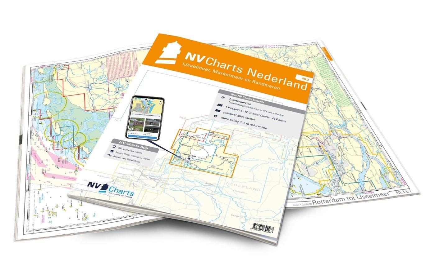
NV Atlas Nederland NL3 - IJsselmeer & Randmeeren
For a trip through the popular sailing area of the IJsselmeer is the NL3 the right choice. Once you have passed one of the lock gates, nothing stands in the way of an eventful trip. The IJsselmmeer do

Variants from €51.99*
€64.99*
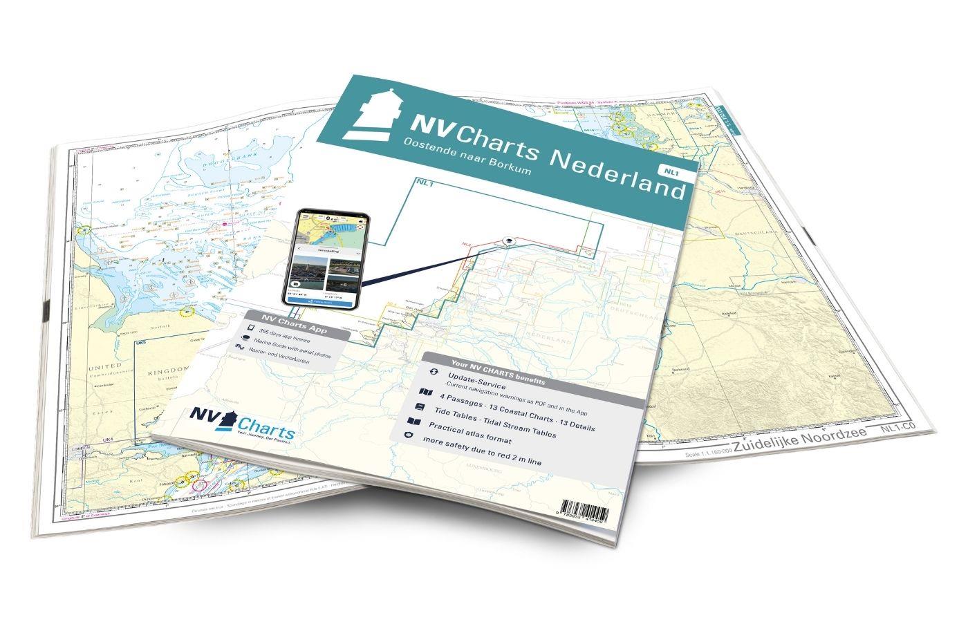
NV Atlas Nederland NL1 - Borkum naar Oostende
The Dutch NV nautical charts start with the NL1. This chart set connects with the most southern German North Sea chart DE13 and is the ideal chart to get directly to the United Kingdom or to cross the

Variants from €51.99*
€64.99*
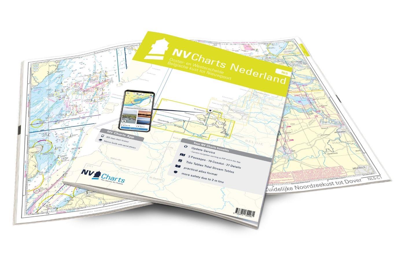
NV Atlas Nederland NL5 - Ooster & Westerschelde
If you want to travel through the "Oosterschelde" and "Westerschelde" delta regions, you will find a suitable travel companion in NL5. This varied beautiful region is characterized by tides and nature

Variants from €51.99*
€64.99*
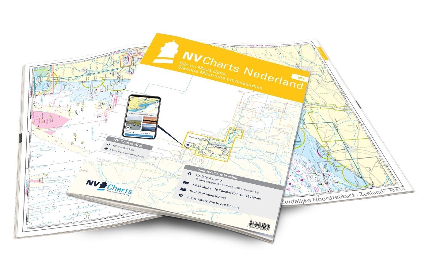
NV Atlas Nederland NL4 - Rijn & Maas Delta
The NL4 is the perfect companion for the water sports area around Rotterdam, the southern part of the famous "Staande Mastroute," and the Maas Delta. In the north, the Atlas begins near the capital Am

Variants from €51.99*
€64.99*
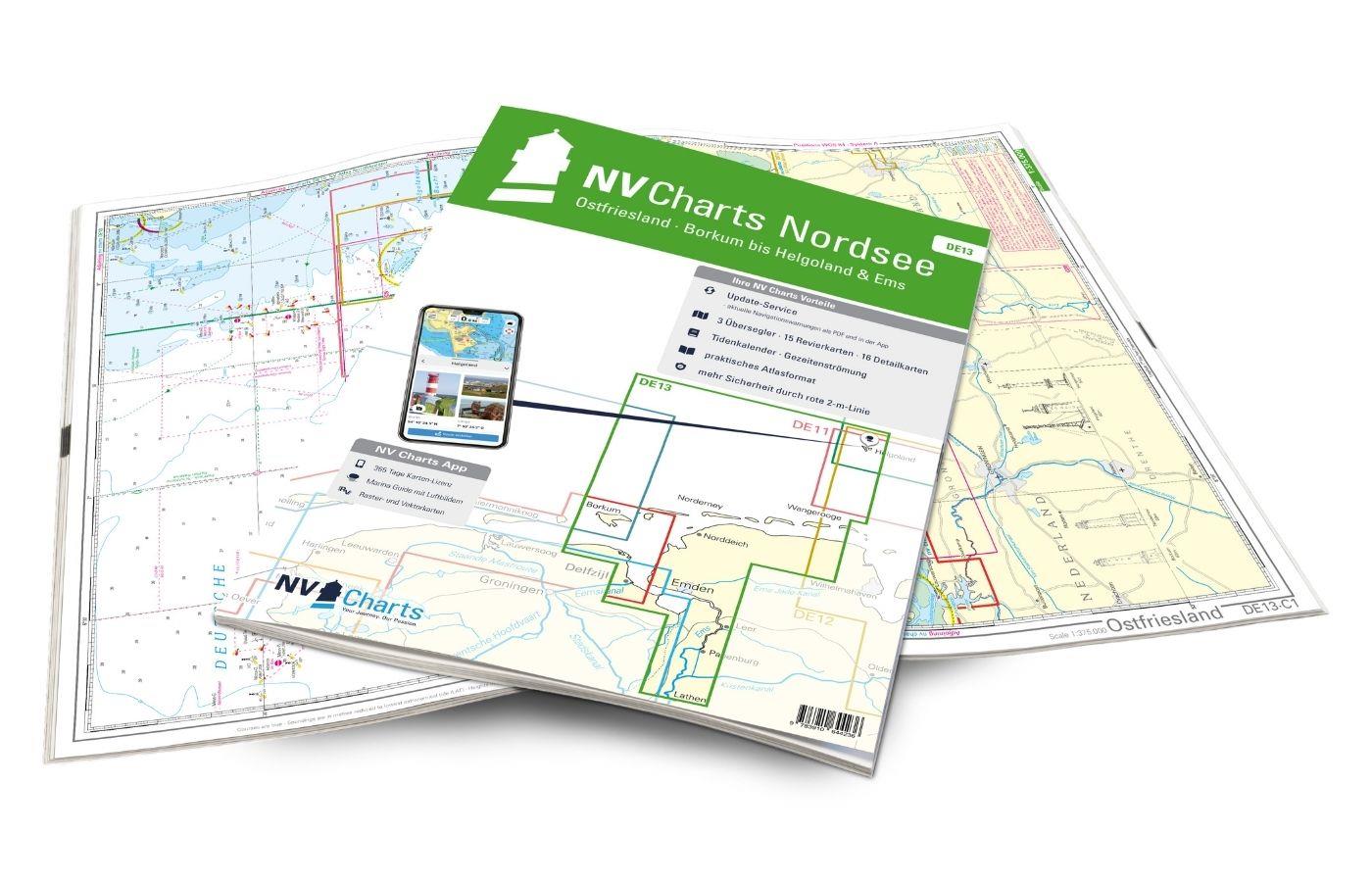
NV Atlas Ostfriesland DE13 - Borkum bis Helgoland & Ems
The East Frisian islands of Borkum, Juist, Norderney, Baltrum, Langeoog, Spiekeroog and Wangerooge are both attractive and demanding. Seemingly endless expanse, the fresh breeze and long beaches chara

Variants from €58.49*
€64.99*

Products near this article

Products near this article

NV Atlas Binnen NL7 - Waterkaart Nederland Zuid - Arnhem - Maastricht
For the southern half of the Dutch inland waters you are ideally equipped with the NL7. Together with the NL6 (Waterkaart Nederland Noord), the country's inland waters are completely covered. The atla

€64.99*
NV Atlas Nederland NL4 - Rijn & Maas Delta
The NL4 is the perfect companion for the water sports area around Rotterdam, the southern part of the famous "Staande Mastroute," and the Maas Delta. In the north, the Atlas begins near the capital Am

Variants from €51.99*
€64.99*
NV Kroatien Plotterseekarten
Maps & Port plans of the HR 1 and HR seriesThe plotter chip Croatia contains the digital nautical charts of the popular NV Charts chart sets for the Adriatic Sea. The area in the Me

€99.99*
ANWB Wateralmanak 2 (Brückenzeiten)
Version 2023 will be available at the end of March!Wateralmanak 2 Sound signals of the Inland Police (BPR) and the Rhine Police (RPR)This almanac includes the opening hours of all bridges an

€21.99*
ANWB Waterkaart 16 - Noord-Brabant/Maas-Noord
District map for Noord-Brabant/Maas-NoordFolding map for Dutch inland district double-sided full-colour printed on thin art paper. Landscape format 100 x 70 cm (folded 25 x 125 cm). The map includ

€17.99*
ANWB Waterkaart 8 - Grote Rivieren
ANWB 8: Dutch inland map for Grote RivierenGrote Rivieren - This region is one of the most popular holiday regions in the Netherlands and impresses with its vibrant diversity.Folding map for D

€17.99*
ANWB Waterkaart 21 - Vinkeveense en Loosdrechtse Plassen
Netherlands inland map for Vinkeveense en Loosdrechtse PlassenThis region once characterised by peat extraction is now the destination of water sports enthusiasts from all over Europe.Folding map for

€17.99*
ANWB Waterkaart 9 - Randmeren-Zuid/Vecht
Randmeren-zuid Vecht - ANWB Waterkaart 9Folding map for Dutch inland waterway double-sided full-colour printed on thin art paper. Landscape format 100 x 70 cm (folded 25 x 125 cm). The map includes al

€17.99*
ANWB Waterkaart 11 - Hollandse Plassen
Hollandse Plassen - Best inland map The Hollandse Plassen is also called the sea behind the dikes and is probably the area of the Netherlands with the most windmills. The cruising area is

€17.99*
ANWB Waterkaart Nederland
Inland map of the Dutch inland waterwaysFolded map for Dutch inland waterways double-sided printed in full colour on thin art paper. Landscape format 100 x 70 cm (folded 25 x 125 cm). The map includes

€12.99*

Reviews

0 of 0 reviews

Leave a review!

Share your experiences with other customers.