Secret Anchorages of Brittany

Chart ID: IB0111-2

€38.80*


Product number: 22337

Description

A detailed cruising guide to Brittany in France

The cruising guide "Secret Anchorages of Brittany" is suitable for all water sports enthusiasts planning a trip to Brittany. It covers the entire region in the west of France from the Cap de la Hague in the north to the mouth of the Loire in the south. The book includes descriptions of the natural anchorages along the Brittany coast and countless other tips for the region. The anchorages on the rivers estuaries and offshore islands are also dealt with in detail. On the almost 300 pages "every nook and cranny" is looked into. The authors insider tips include anchorages in Saint-Malo at Mont St. Michel at the Sept Iles and in the Golfe de Morbihan.


The unique coast of Brittany is characterised by mystical landscapes wide beaches wild cliffs and historic harbours. Numerous scenic bays and islands in the region are just waiting to be discovered. Unjustly this region has been relatively unknown to German tourists and water sports enthusiasts until now. If you are not yet familiar with the area and would like to venture into these unknown waters you will certainly not be disappointed!

Author: Peter Cumberlidge
Format: Hardcover / gebunden
Language: Englisch
Region: Europa, Englischer Kanal, Atlantik, Frankreich Atlantik
Area preview

With the help of our area preview, you can get an impression of which geographical region the product deals with or which areas a nautical chart covers.

Other customers bought also

Other customers bought also

Gebietsvorschau für NV Charts France FR3 - St. Malo aux Sept Îles öffnen
NV Charts France FR3 - St. Malo aux Sept Îles
Would you like to discover the coast of northern Brittany? Then the NV Charts France FR3 Atlas is your partner at sea. Thanks to the clear layout, the recreational skipper can quickly find a

€64.99*
Gebietsvorschau für NV Charts France FR2 - Cherbourg à St. Malo öffnen
NV Charts France FR2 - Cherbourg à St. Malo
If you are drawn to the marvellous Channel Islands, the NV Charts Atlas FR2 is well advised! Thanks to the clear layout, the recreational skipper can quickly find approaches, harbours and anchorages a

€64.99*
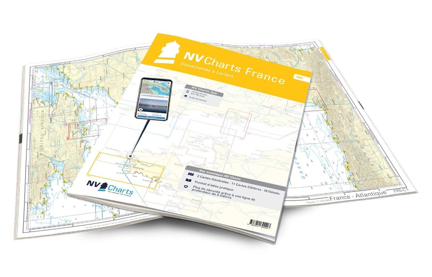
Gebietsvorschau für NV Charts France FR5 - Douarnenez à Lorient öffnen
NV Charts France FR5 - Douarnenez à Lorient
The NV Charts France FR5 Atlas covers the south-western tip of Brittany. Thanks to the clear layout, the recreational skipper can quickly find approaches, harbours and anchorages and is informed of na

€64.99*
Gebietsvorschau für NV Charts France FR4 - Les Sept Isles à Douarnenez öffnen
NV Charts France FR4 - Les Sept Isles à Douarnenez
The NV Charts France FR4 covers the north-western tip of Brittany. Thanks to the clear layout, the recreational skipper can quickly find approaches, harbours and anchorages and is informed o

€64.99*
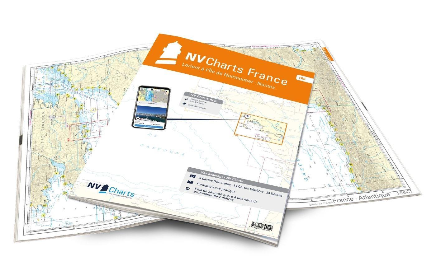
Gebietsvorschau für NV Charts France FR6 - Lorient à Île de Noirmoutier - Nantes öffnen
NV Charts France FR6 - Lorient à Île de Noirmoutier - Nantes
With the NV Charts France FR6 off to the Cité de la Voile, the city of sailing! Thanks to the clear layout, the sports skipper can quickly find approaches, harbours and anchorages and is informed of n

€64.99*

Reviews

0 of 0 reviews

Leave a review!

Share your experiences with other customers.


Gebietsvorschau für NV Charts France FR1 - Oostende à Cherbourg öffnen
NV Charts France FR1 - Oostende à Cherbourg
For water sports enthusiasts who want to explore the French canal coast, the NV Charts Atlas FR1 which accompanies you along the coast from Dunkirk (Dunkerque) to Cherbourg. Thanks to the clear layout

€64.99*
Gebietsvorschau für Atlantic France öffnen
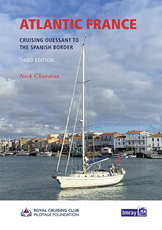
Atlantic France
For those water sports enthusiasts who would like to explore the French Atlantic coast this cruising guide is an extremely helpful travel companion. It covers the coast from lAberwrach at the north-we

€63.50*
Gebietsvorschau für Gezeitenstromatlas NP251 North Sea, Southern Part öffnen
Gezeitenstromatlas NP251 North Sea, Southern Part
Tidal streams diagrams include detailed tidal stream direction and strength information. They show at a glance the direction and rate of tidal streams display neap and spring tidal rates in tenths of

€33.90*
Gebietsvorschau für Isles of Scilly öffnen
Isles of Scilly
The Isles of Scilly Cruising Guide The new edition of this comprehensive guide to the Isles of Scilly has been completely revised and updated. Background information on the islands their history and f

€38.20*
Gebietsvorschau für NV Charts Atlantic ATL1 - English Channel to Vigo öffnen
NV Charts Atlantic ATL1 - English Channel to Vigo
With the NV Charts Atlantic Atlas ATL1 you have a reliable companion for the Bay of Biscay from Falmouth to Vigo at your side. Thanks to the clear layout, the recreational skipper can quickly find app

€74.99*
Gebietsvorschau für NV Charts France FR8 - Île d'Oléron à San Sebastian - Bordeaux öffnen
NV Charts France FR8 - Île d'Oléron à San Sebastian - Bordeaux
With the NV Charts France FR8 You can travel from the sailing stronghold of La Rochelle via the Gironde to Bordeaux or as far as the Spanish border. Thanks to the clear layout, the sports skipper can

€64.99*
Gebietsvorschau für Atlantic Spain & Portugal öffnen
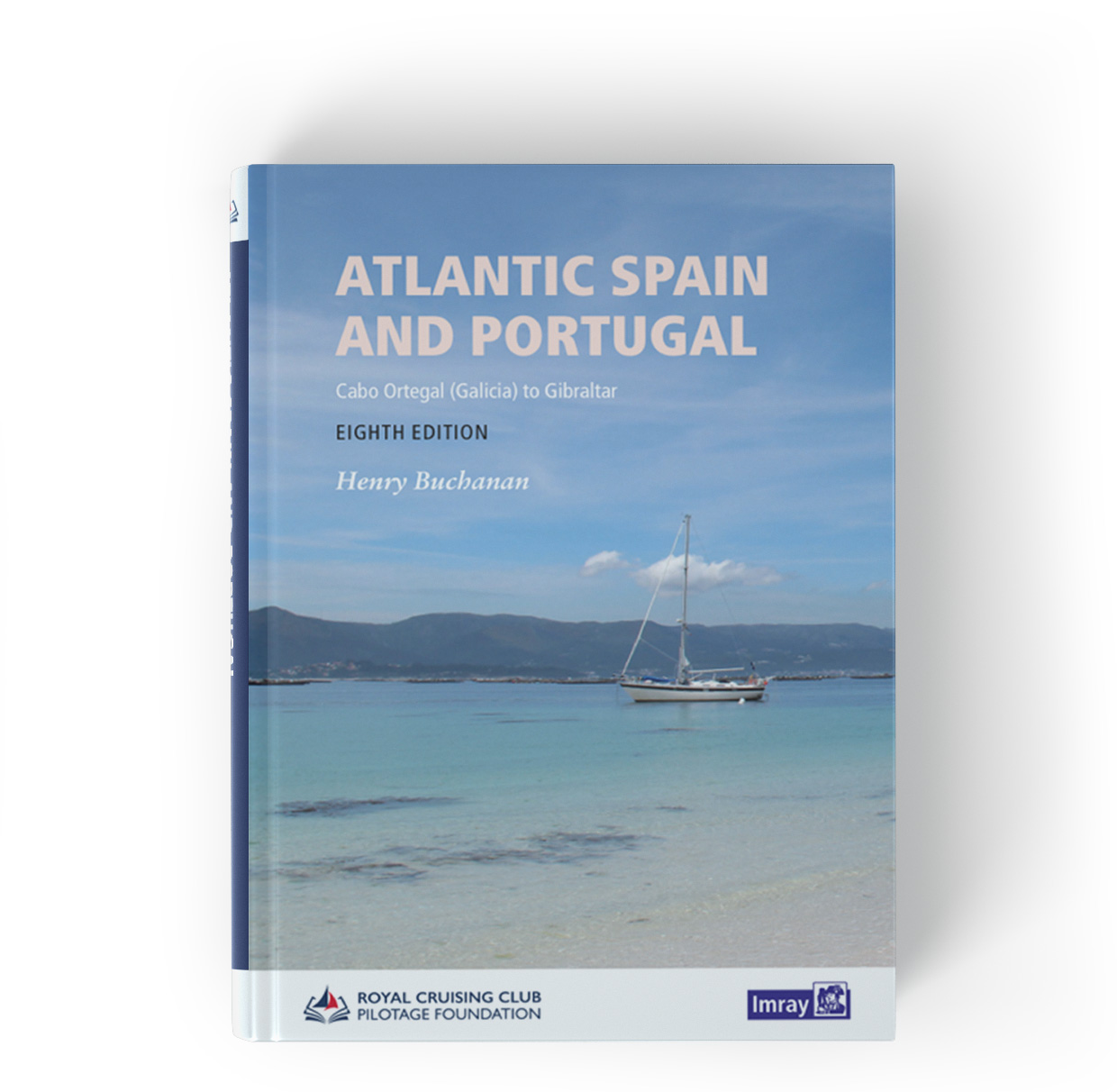
Atlantic Spain & Portugal
This book by Hernry Buchanan is a most suitable travel companion for anyone drawn to the Atlantic coast of Spain and Portugal. It covers the area from Cabo Ortegal in Galicia and then goes through Por

€61.50*
Gebietsvorschau für Gezeitenstromatlas NP250 The English Channel öffnen
Gezeitenstromatlas NP250 The English Channel
BA NP250 Tidal Stream Atlas: The English ChannelTidal streams diagrams include detailed tidal stream direction and strength information. They show at a glance the direction and rate of tidal streams d

€33.90*
CCC Firth of Clyde
Firth of Clyde covers everything from the busy waters of the Firth of Clyde and River Clyde to the more remote areas of the wider estuary and connected lochs, including the protected and beautiful Kyl

€48.50*
Gebietsvorschau für NV Charts France FR4 - Les Sept Isles à Douarnenez öffnen
NV Charts France FR4 - Les Sept Isles à Douarnenez
The NV Charts France FR4 covers the north-western tip of Brittany. Thanks to the clear layout, the recreational skipper can quickly find approaches, harbours and anchorages and is informed o

€64.99*
Gebietsvorschau für Cruising Galicia öffnen
Cruising Galicia
This guide is suitable for all water sports enthusiasts who want to explore the coast of Galicia in the north of Spain. It covers the area from Ribadeo on the north coast to A Guarda on the west coast

€43.00*
Gebietsvorschau für NV Charts France FR7 - Îles de Noirmoutier à Oléron - La Rochelle öffnen
NV Charts France FR7 - Îles de Noirmoutier à Oléron - La Rochelle
With the NV Charts France FR7 Atlas discover the French Atlantic coast. Thanks to the clear layout, the recreational skipper can quickly find approaches, ports and anchorages and is informed of naviga

€64.99*