Skip to main content Skip to search Skip to main navigation

Product information "NV Charts France FR5 - Douarnenez à Lorient"

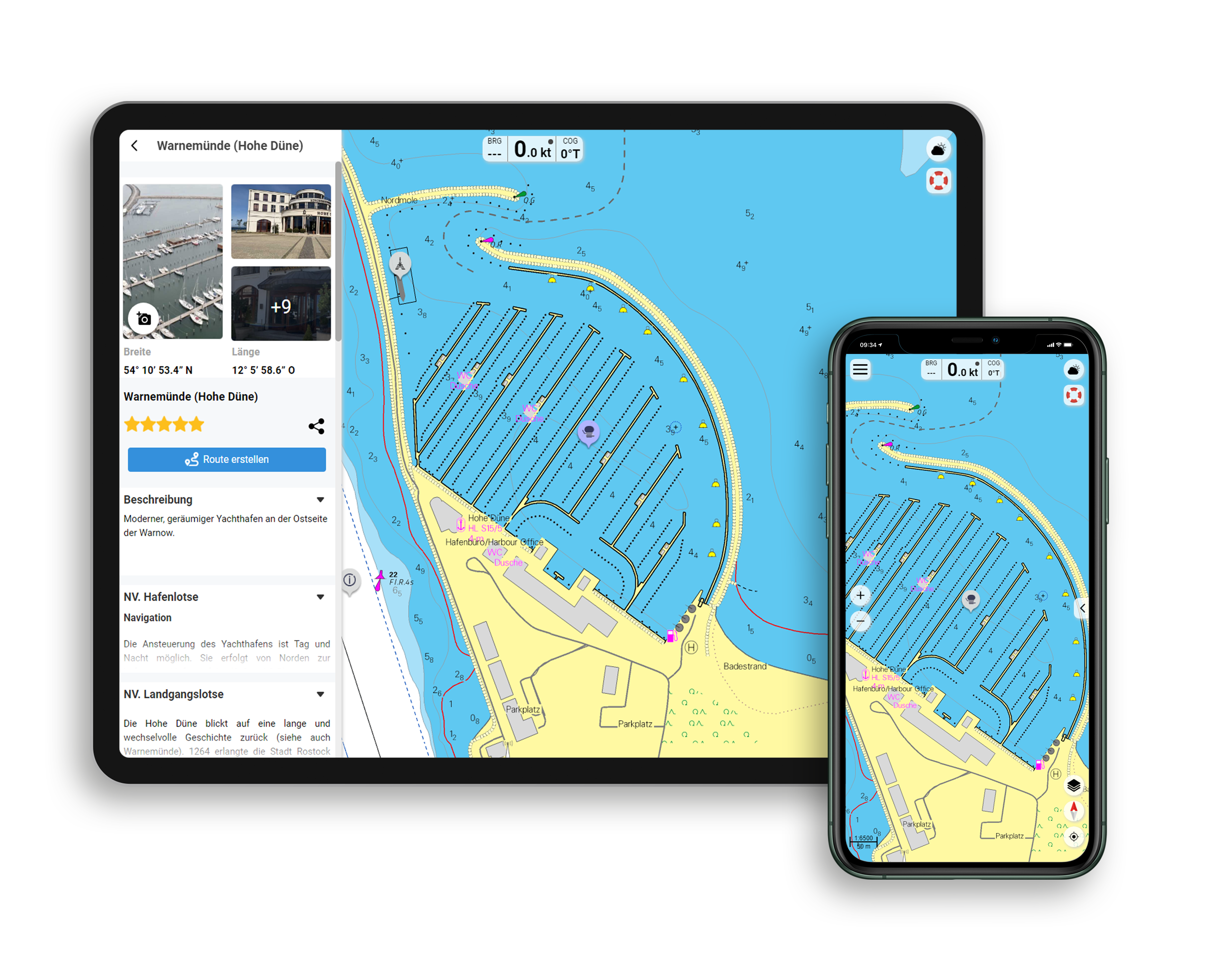
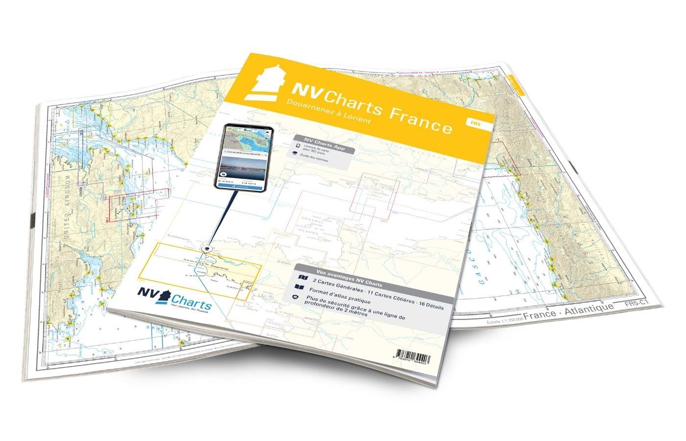
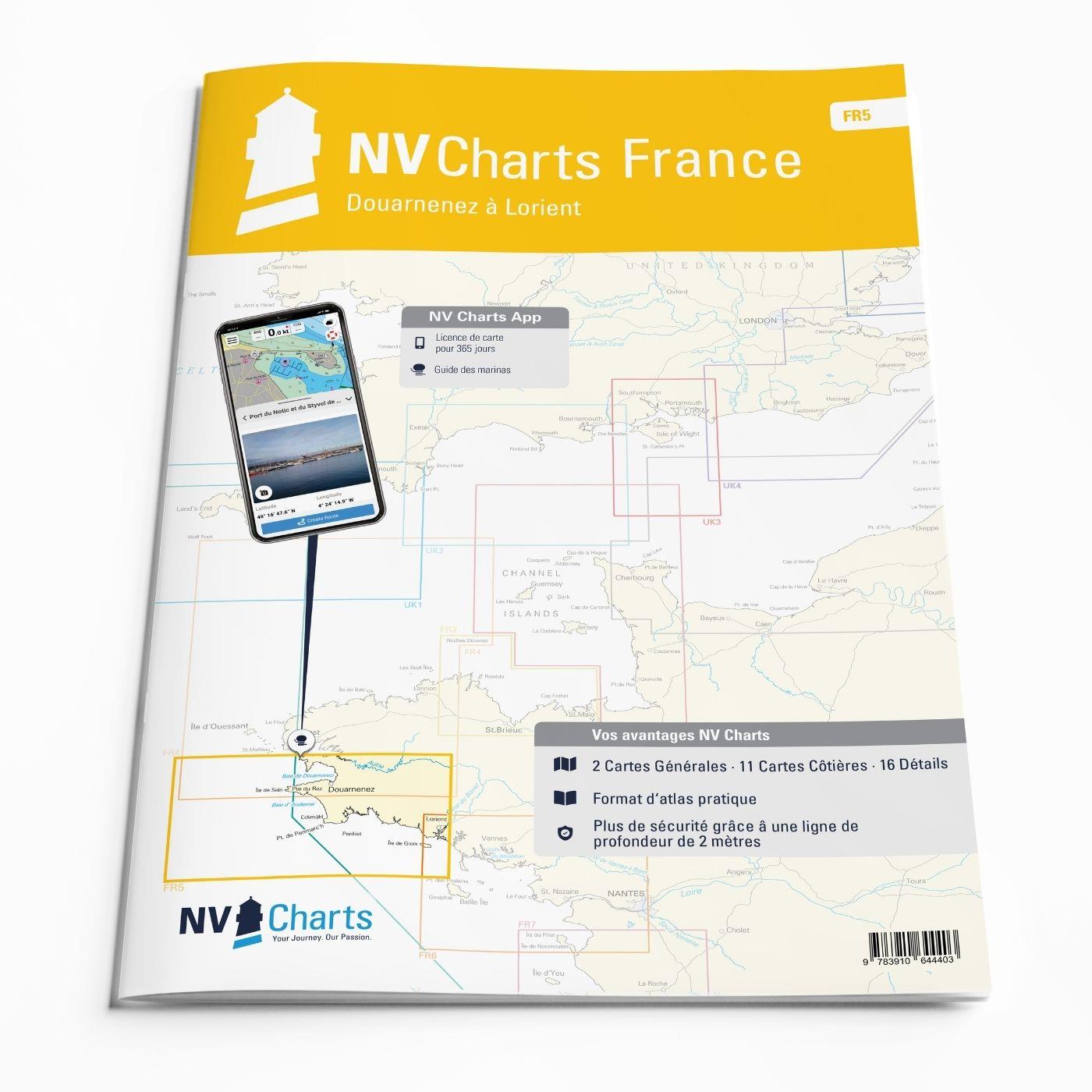
The NV Charts France FR5 Atlas covers the south-western tip of Brittany. Thanks to the clear layout, the recreational skipper can quickly find approaches, harbours and anchorages and is informed of navigationally important details that also appear in the NV Charts app. The chart series impresses with its optimised dimensions and balanced sheet sections.

Regions overview

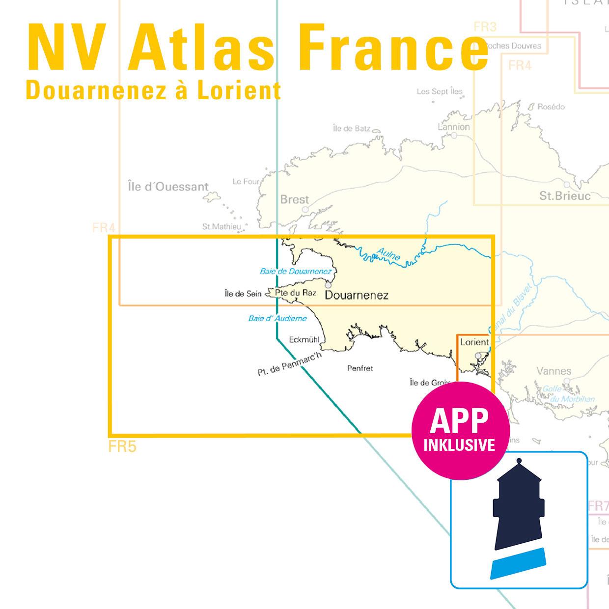
The FR5 starts in the historic town of Douarnenez with its large fishing harbour. Here you can also see the famous Bay of Biscay. The nautical chart takes you along the Île de Sein, which is about 8 kilometres from the coast. The bay of Audierne stretches from the Pointe du Raz to the Pointe de Penmarch. The entire bay is an exceptionally beautiful and natural area with around 10 kilometres of dunes. Concarneau, a medieval harbour town, is also worth a visit. The Glénan Islands, just 10 nautical miles from Concarneau, are also worth a visit. The archipelago is surrounded by rocks until you reach the buoy field.

If you want to get to know the beautiful French Atlantic coast, then you should visit the NV Charts France FR 6 and the  FR7 should also be considered. If you are travelling towards the Bay of Biscay or further on to Portugal, there is no way around the ATL1 past. We will be happy to put together guidebooks for these regions for you.

This map set includes

  • 2 sailors
  • 11 territory cards
  • 16 detailed maps
  • Digital charts for navigation program and NV Charts App 356-day licence
  • Navigation instructions in English and French
  • Tide tables
  • Harbour plans paper & digital
  • Fulfils all legal requirements for up-to-date paper charts on board

All advantages at a glance

  • NV Atlas chart format: Practical, handy atlas format, opened in A2, closed in A3 format, flat staple binding in the centre - makes it easy to work with the course triangle
  • NV Charts app: including access code to the digital nautical charts of the purchased area in the NV Charts app with 365-day licence, for offline navigation with the app on iOS, Android, PC, Mac or in the web browser, comprehensive harbour manual
  • Extremely detailed: Nautical charts based on data from official surveys and own surveys, particularly detailed outside the main fairways
  • Optimised for recreational boating

Functions of the NV Charts app

  • Flexible autorouting
  • Satellite overlay
  • Augmented reality
  • VMG (Velocity Made Good)
  • BoatView harbour guide
  • Track recording
  • AIS connection and much more.
Find out more now

Charts and measures included

Übersegler

C 1 France - Atlantique 1: 1,750,000 , C 2 Bretagne - Sud -Ouest 1: 350,000

District maps

C 3 Ile d'Ouessant à Douarnenez 1: 150,000 , C 4 Douarnenez à Eckmühl 1: 150,000 , C 5 Eckmühl à Lorient 1: 150,000 , C 6 Baie de Douarnenez 1: 45,000 , C 7 Raz de Sein - Cap Sizun 1: 45,000 , C 8 Chaussée de Sein 1: 45. 000 , C 9 Roches de Penmarc'h 1: 45,000 , C10 Baie de Concarneau 1: 45,000 , C11 Port-la-Forêt aux Iles de Glénan 1: 45,000 , C12 Trévignon au Pouldu 1: 45,000 , C13 Le Pouldu à Lorient - Ile de Groix 1: 45,000

Detailed maps

C14A Douarnenez 1: 10,000 , C14B Audierne 1: 15,000 , C15A Port de Seins 1: 15,000 , C15B Le Guilvinec 1: 15,000 , C15C Loctudy 1: 15,000 , C15D Lorient - Approach 1: 15,000 , C16A L'Odet 1: 25,000 , C16B Bénodet 1: 15. 000 , C16C Lesconi 1: 15,000 , C17 Baie de la Forêt 1: 15,000 , C18 Iles de Glénan 1: 25,000 , C19A Port Tudy - Ile de Groix 1: 7,500 , C19B Brigneau 1: 15,000 , C19C Port Manec'h 1: 15,000 , C19E Le Pouldu 1: 15,000 , C19D Doëlan 1: 10,000
General Notes p.20 Légende - Legend p.20 Courants de Marée - Tidal Stream Tables p.20

Properties "NV Charts France FR5 - Douarnenez à Lorient"
App License: NV Charts App
Format: NV Atlas, Gebundener Kartensatz
Properties "NV Charts France FR5 - Douarnenez à Lorient"
App License: NV Charts App
Format: NV Atlas, Gebundener Kartensatz

0 of 0 reviews

Average rating of 0 out of 5 stars

Leave a review!

Share your experiences with other customers.


Area preview

With the help of our area preview, you can get an impression of which geographical region the product deals with or which areas a nautical chart covers.

Other customers bought also

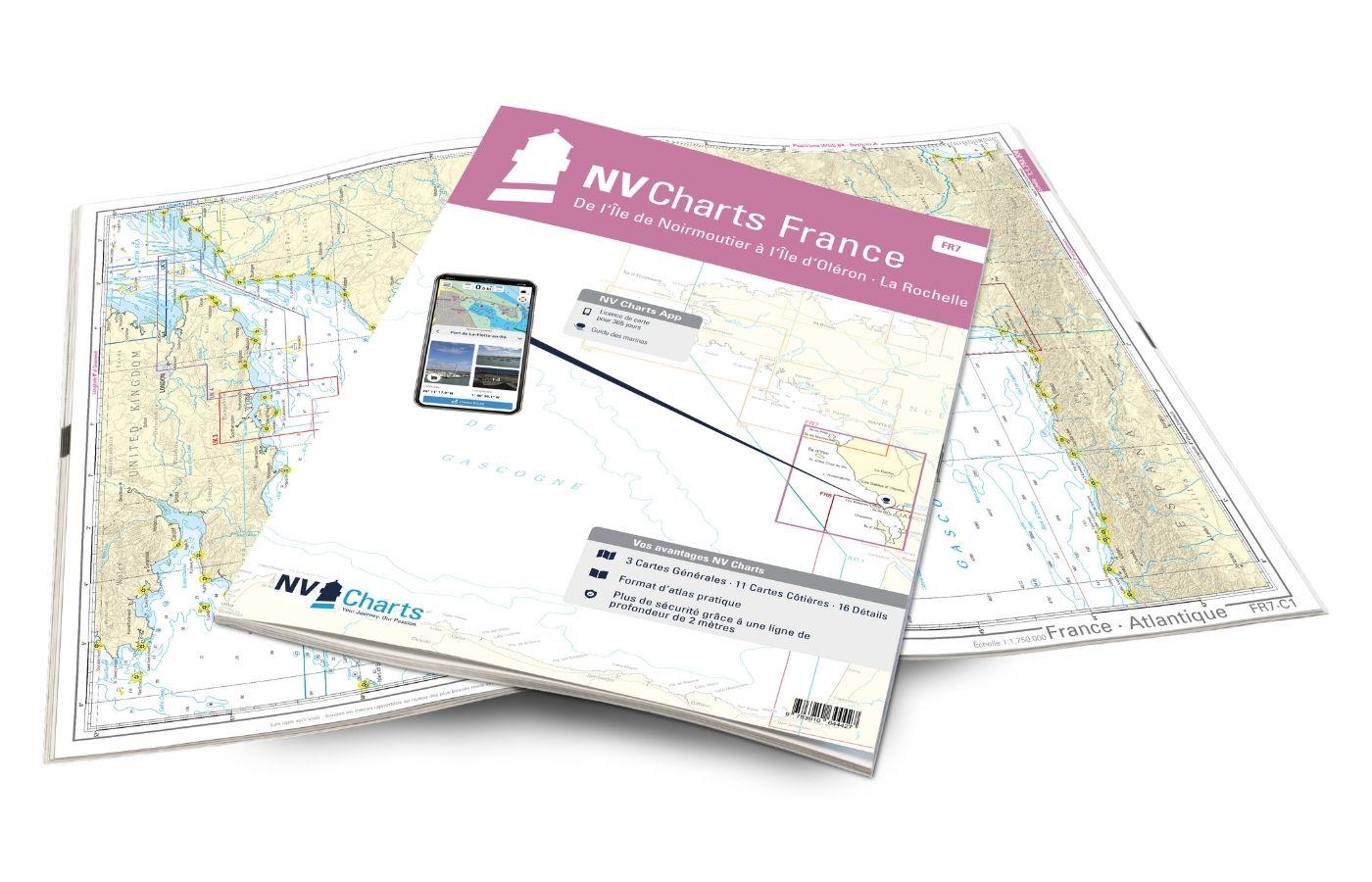
Gebietsvorschau für NV Charts France FR7 - Îles de Noirmoutier à Oléron - La Rochelle öffnen
NV Charts France FR7 - Îles de Noirmoutier à Oléron - La Rochelle
With the NV Charts France FR7 Atlas discover the French Atlantic coast. Thanks to the clear layout, the recreational skipper can quickly find approaches, ports and anchorages and is informed of naviga

€64.99*
Gebietsvorschau für NV Charts Atlantic ATL1 - English Channel to Vigo öffnen
NV Charts Atlantic ATL1 - English Channel to Vigo
With the NV Charts Atlantic Atlas ATL1 you have a reliable companion for the Bay of Biscay from Falmouth to Vigo at your side. Thanks to the clear layout, the recreational skipper can quickly find app

€74.99*
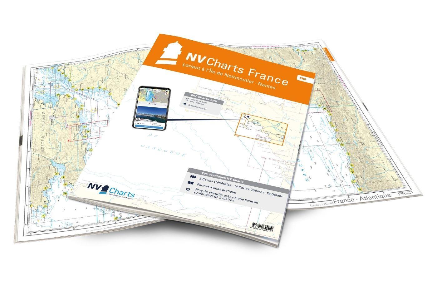
Gebietsvorschau für NV Charts France FR6 - Lorient à Île de Noirmoutier - Nantes öffnen
NV Charts France FR6 - Lorient à Île de Noirmoutier - Nantes
With the NV Charts France FR6 off to the Cité de la Voile, the city of sailing! Thanks to the clear layout, the sports skipper can quickly find approaches, harbours and anchorages and is informed of n

€64.99*
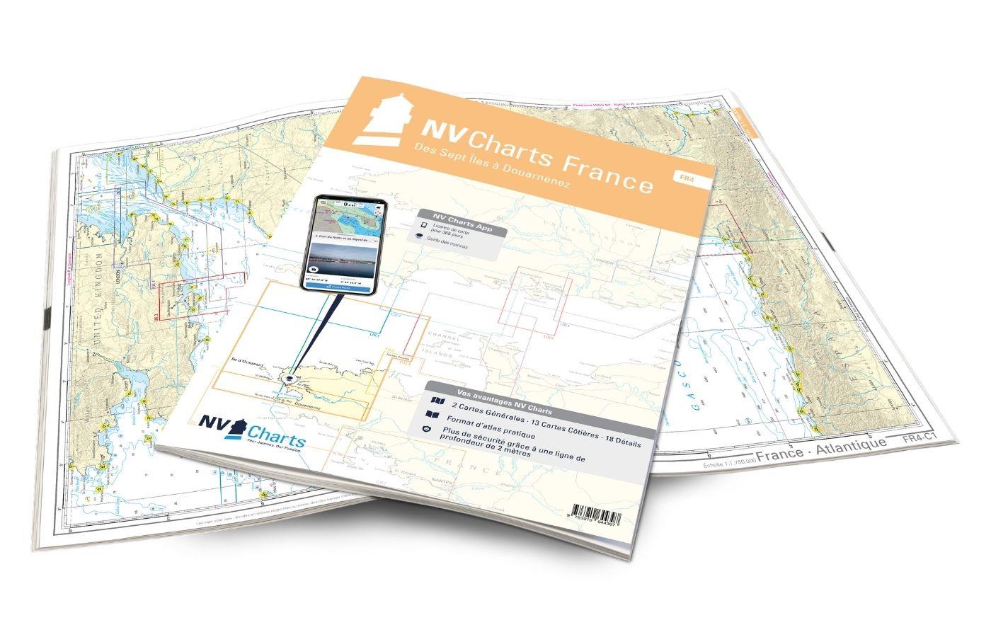
Gebietsvorschau für NV Charts France FR4 - Les Sept Isles à Douarnenez öffnen
NV Charts France FR4 - Les Sept Isles à Douarnenez
The NV Charts France FR4 covers the north-western tip of Brittany. Thanks to the clear layout, the recreational skipper can quickly find approaches, harbours and anchorages and is informed o

€64.99*
Gebietsvorschau für Secret Anchorages of Brittany öffnen
Secret Anchorages of Brittany
A detailed cruising guide to Brittany in FranceThe cruising guide "Secret Anchorages of Brittany" is suitable for all water sports enthusiasts planning a trip to Brittany. It covers the entire region

€38.80*
Logbuch / Schiffstagebuch NV
The NV Logbook / Ships Diary with the officially prescribed page numbering is clear and practical.The clear division for navigation data with time course sm and remarks on the course of the voyage suc

€15.90*

Related products to this item

Gebietsvorschau für NV Charts France FR6 - Lorient à Île de Noirmoutier - Nantes öffnen
NV Charts France FR6 - Lorient à Île de Noirmoutier - Nantes
With the NV Charts France FR6 off to the Cité de la Voile, the city of sailing! Thanks to the clear layout, the sports skipper can quickly find approaches, harbours and anchorages and is informed of n

€64.99*
Gebietsvorschau für NV Charts France FR4 - Les Sept Isles à Douarnenez öffnen
NV Charts France FR4 - Les Sept Isles à Douarnenez
The NV Charts France FR4 covers the north-western tip of Brittany. Thanks to the clear layout, the recreational skipper can quickly find approaches, harbours and anchorages and is informed o

€64.99*
Gebietsvorschau für NV Charts France FR7 - Îles de Noirmoutier à Oléron - La Rochelle öffnen
NV Charts France FR7 - Îles de Noirmoutier à Oléron - La Rochelle
With the NV Charts France FR7 Atlas discover the French Atlantic coast. Thanks to the clear layout, the recreational skipper can quickly find approaches, ports and anchorages and is informed of naviga

€64.99*
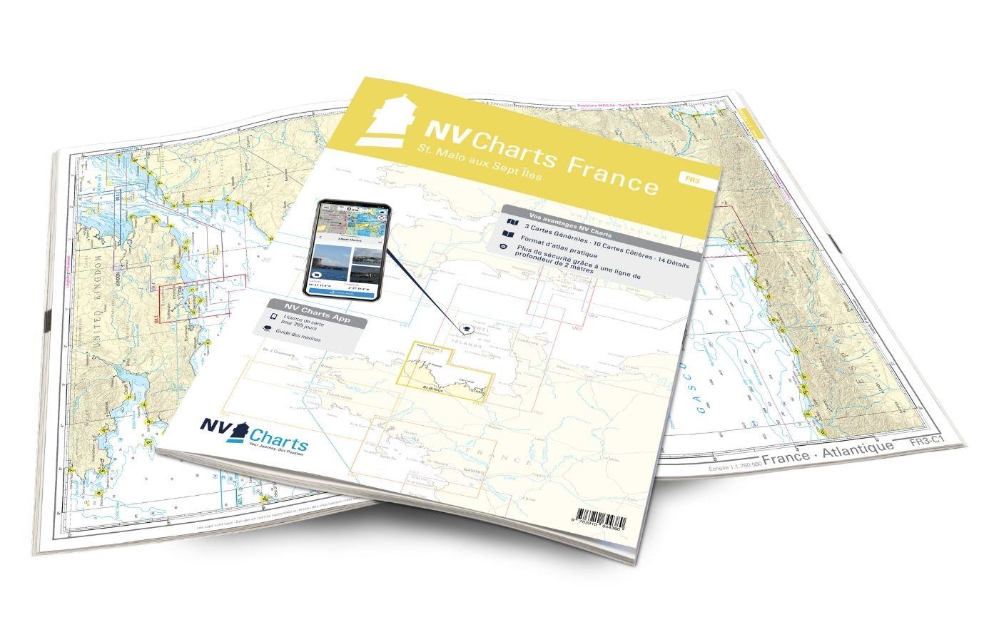
Gebietsvorschau für NV Charts France FR3 - St. Malo aux Sept Îles öffnen
NV Charts France FR3 - St. Malo aux Sept Îles
Would you like to discover the coast of northern Brittany? Then the NV Charts France FR3 Atlas is your partner at sea. Thanks to the clear layout, the recreational skipper can quickly find a

€64.99*
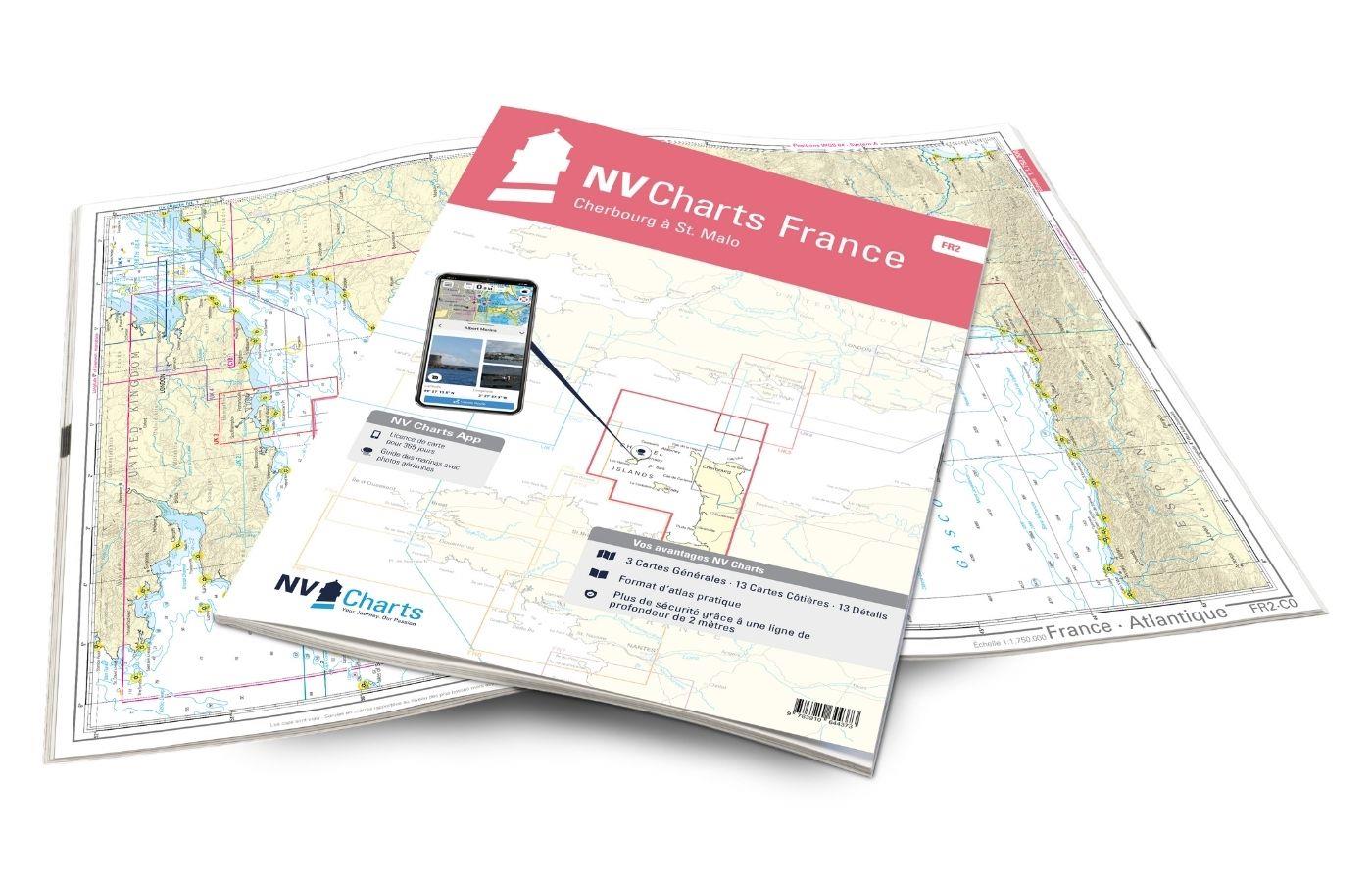
Gebietsvorschau für NV Charts France FR2 - Cherbourg à St. Malo öffnen
NV Charts France FR2 - Cherbourg à St. Malo
If you are drawn to the marvellous Channel Islands, the NV Charts Atlas FR2 is well advised! Thanks to the clear layout, the recreational skipper can quickly find approaches, harbours and anchorages a

€64.99*
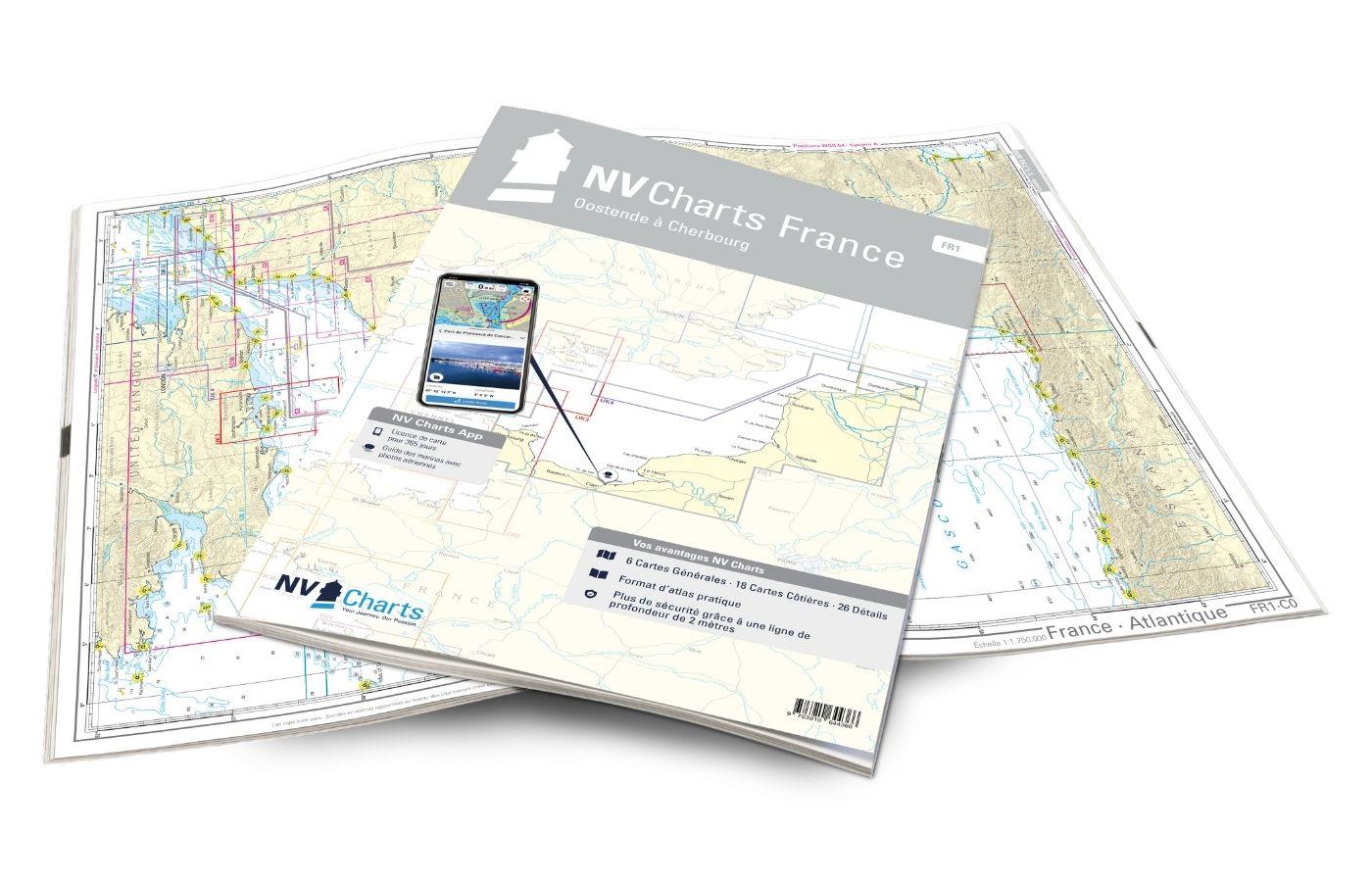
Gebietsvorschau für NV Charts France FR1 - Oostende à Cherbourg öffnen
NV Charts France FR1 - Oostende à Cherbourg
For water sports enthusiasts who want to explore the French canal coast, the NV Charts Atlas FR1 which accompanies you along the coast from Dunkirk (Dunkerque) to Cherbourg. Thanks to the clear layout

€64.99*

Similar products

Gebietsvorschau für NV Charts France FR4 - Les Sept Isles à Douarnenez öffnen
NV Charts France FR4 - Les Sept Isles à Douarnenez
The NV Charts France FR4 covers the north-western tip of Brittany. Thanks to the clear layout, the recreational skipper can quickly find approaches, harbours and anchorages and is informed o

€64.99*
Gebietsvorschau für NV Charts France FR7 - Îles de Noirmoutier à Oléron - La Rochelle öffnen
NV Charts France FR7 - Îles de Noirmoutier à Oléron - La Rochelle
With the NV Charts France FR7 Atlas discover the French Atlantic coast. Thanks to the clear layout, the recreational skipper can quickly find approaches, ports and anchorages and is informed of naviga

€64.99*
Gebietsvorschau für NV Charts France FR3 - St. Malo aux Sept Îles öffnen
NV Charts France FR3 - St. Malo aux Sept Îles
Would you like to discover the coast of northern Brittany? Then the NV Charts France FR3 Atlas is your partner at sea. Thanks to the clear layout, the recreational skipper can quickly find a

€64.99*