Bloc Côtier : Atlantique

€24.00*


Product number: 32399

Description

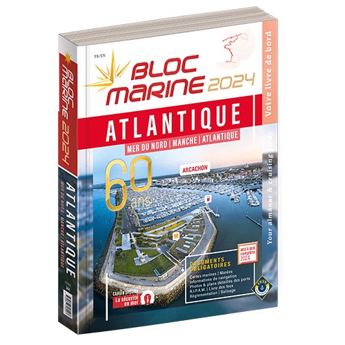
The "Bloc Côtier" is the reduced version of the "Bloc Marine".

In this book, you will find precise information about port areas, safety at sea and legal regulations. It contains port plans and also a section with detailed maps for the French coast.


This detailed book covers all ports on the French Atlantic coast. But the south coast of Great Britain is also completely represented, from Penzance to Ramsgate, and additionally to the Scilly Isles and the Channel Islands. Those looking for ports in Belgium will also find them in this Bloc Côtier. The north coast of Spain is covered from the French border to the port of Santander. The respective descriptions are also enhanced with precise aerial photographs of the ports.


The Bloc Côtier Atlantique also contains tide tables and information on currents in the regions. Meteorological explanations and maritime safety advice are also included in this book.


Publication date:
The Bloc Côtier Atlantique is published annually as a new edition, usually towards the end of December. It is in French, but with short texts in English.


Format: Softcover / Taschenbuch
Language: Französisch
Region: Frankreich, Atlantik, Frankreich Atlantik

Related products to this item

Related products to this item

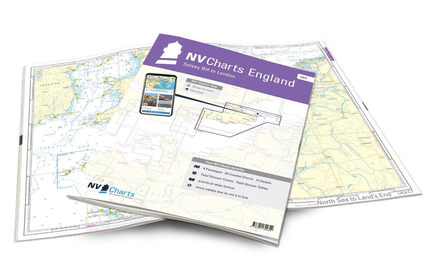
NV Charts England UK4 - Selsey Bill to London
The NV Charts England UK4 takes you past the historic North Foreland into the centre of London - or further west along the coast and towns such as Eastbourne and Brighton. Our charts are bas

€64.99*
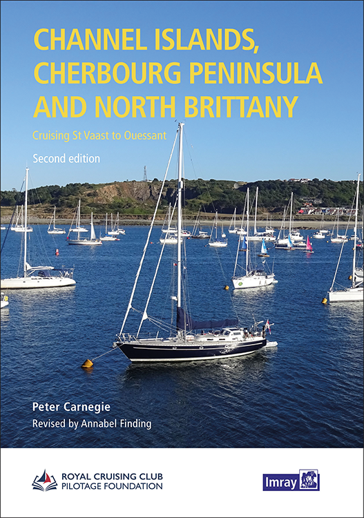
Channel Islands, Cherbourg Peninsula and North Brittany
This popular pilotage guide covers the waters of the Channel Islands and the neighbouring French coast from the north-east of the Cherbourg Peninsula westwards along the coast of Normandy and Brittany

€63.50*
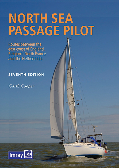
North Sea Passage Pilot
Southern North Sea passage guide with passage routes for traversing this challenging tidal area between the English east coast and the west coasts of the Netherlands and Belgium.The North Sea Passage

€43.00*
Bloc Marine : Atlantique
The Bloc Marine : AtlantiqueFor accurate information on port areas safety at sea and legal requirements in recreational boating the Bloc Marine Atlantique is a first-class travel companion. It include

€36.00*
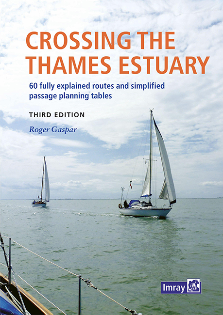
Crossing the Thames Estuary
Crossing the Thames Estuary60 routes covering most passages across the Thames Estuary.The problem with planning passage across the Thames Estuary is that each route consists of a number of different s

€38.20*
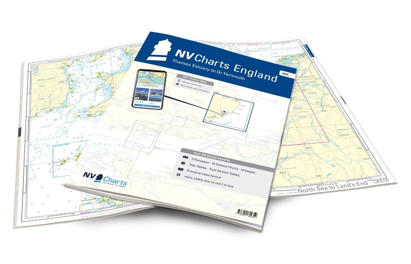
NV Charts England UK5 - Thames Estuary to Great Yarmouth
The NV Charts England UK5 covers the southeast coast of Great Britain from the Thames estuary to Great Yarmouth. Our charts are based on official data from the United Kingdom Hydrographic Office (UKHO

€64.99*
UK and Ireland Circumnavigator's Guide
UK and Ireland Circumnavigators GuideA circumnavigation of the UK and IrelandA circumnavigation of the UK and Ireland is the perfect challenge for leisure sailors looking for an extended cruise that w

€32.50*

Reviews

0 of 0 reviews

Leave a review!

Share your experiences with other customers.