Crossing the Thames Estuary

Chart ID: IB0230-1
Edition: 2022

€38.20*


Product number: 22363

Description

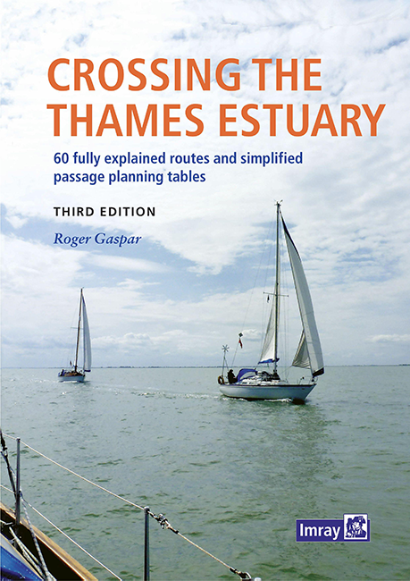
Crossing the Thames Estuary

60 routes covering most passages across the Thames Estuary.

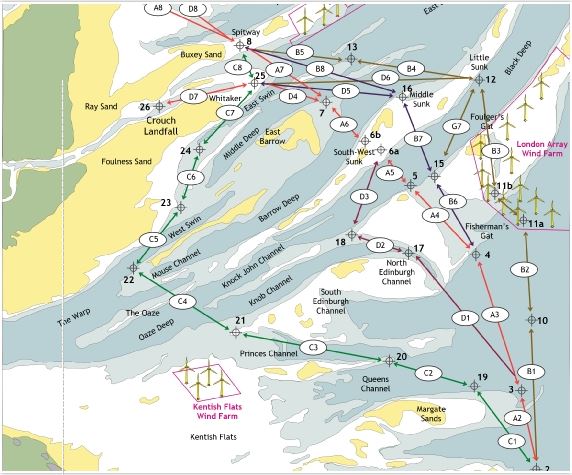
The problem with planning passage across the Thames Estuary is that each route consists of a number of different sectors that require a change of course and often meet the tide at a different angle.For many crossing the estuary on a single favourable tide will be impossible so a compromise is required.Countercurrent? At what point will a flood have the least negative impact? For some the depth of water above the sand will be critical. In Crossing the Thames Estuary 63 routes to cross the Thames are described with following information

  • Sector details - straight line data in degrees (T) and distances
  • Waypoint details - by lat/long and a brief general description.
  • Maps for each route
The unique feature of the book is the passage planning tables. These are very helpful as each route is effectively a series of different sectors that require a change of course and often meet the tide or currents at a different angle. In English.

Product info:

Publisher: Imray
Author: Roger Gaspar
Edition: 3rd ed. Edition 2022
ISBN: 9781786793195
Binding: Spiral binding and softcover

Passage Planing
More helpful pubications:
East Coast NV London London1


Author: Roger Gaspar
Format: Spiralbindung
Language: Englisch
Area preview

With the help of our area preview, you can get an impression of which geographical region the product deals with or which areas a nautical chart covers.

Related products to this item

Related products to this item

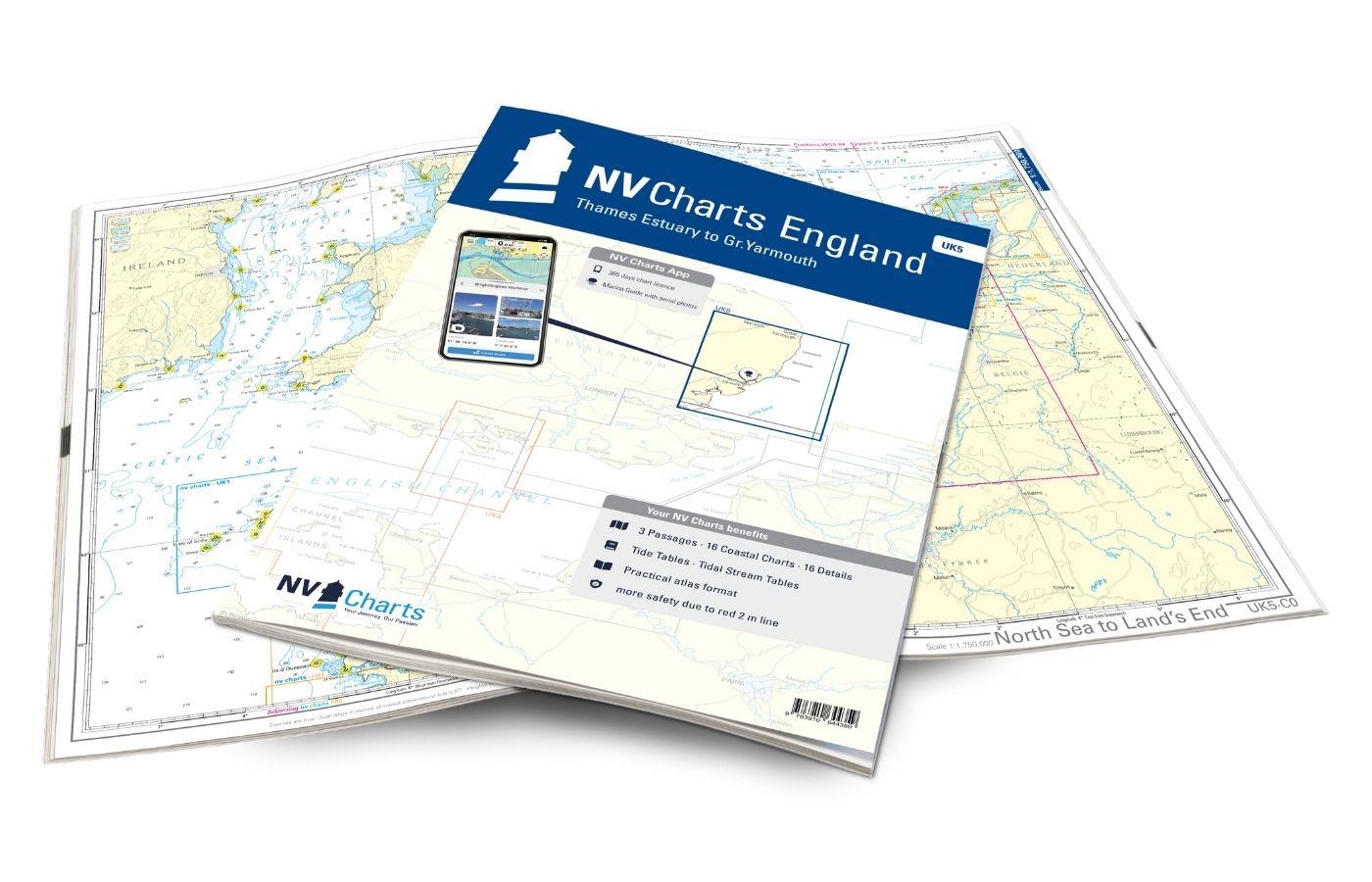
NV Charts England UK5 - Thames Estuary to Great Yarmouth
The NV Charts England UK5 covers the southeast coast of Great Britain from the Thames estuary to Great Yarmouth. Our charts are based on official data from the United Kingdom Hydrographic Office (UKHO

€64.99*
Bloc Côtier : Atlantique
The "Bloc Côtier" is the reduced version of the "Bloc Marine".In this book, you will find precise information about port areas, safety at sea and legal regulations. It contains port plans and also a s

€24.00*
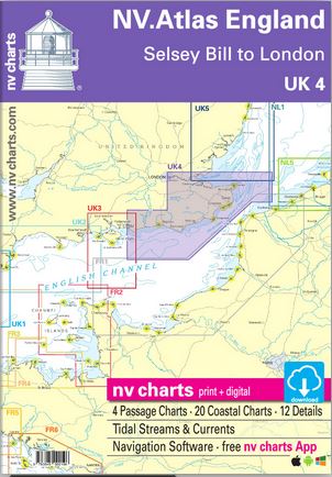
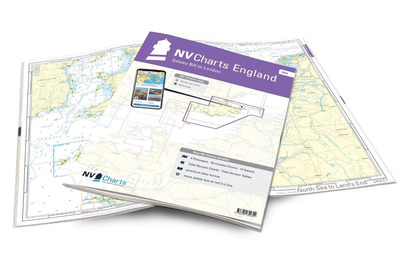
NV Charts England UK4 - Selsey Bill to London
The NV Charts England UK4 takes you past the historic North Foreland into the centre of London - or further west along the coast and towns such as Eastbourne and Brighton. Our charts are bas

€64.99*
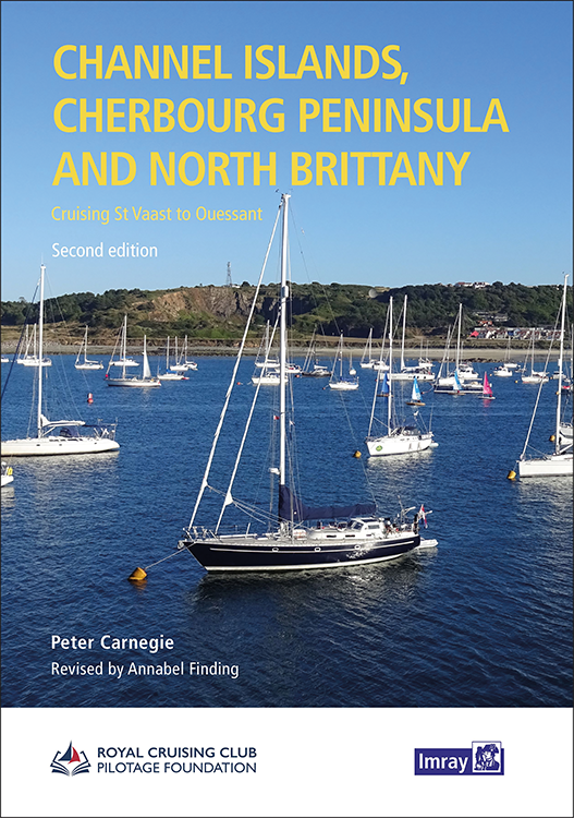
Channel Islands, Cherbourg Peninsula and North Brittany
This popular pilotage guide covers the waters of the Channel Islands and the neighbouring French coast from the north-east of the Cherbourg Peninsula westwards along the coast of Normandy and Brittany

€63.50*
UK and Ireland Circumnavigator's Guide
UK and Ireland Circumnavigators GuideA circumnavigation of the UK and IrelandA circumnavigation of the UK and Ireland is the perfect challenge for leisure sailors looking for an extended cruise that w

€32.50*
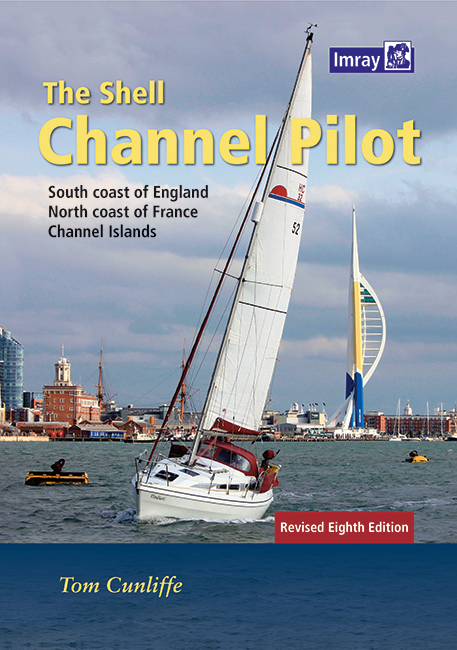
Shell Channel Pilot
English Channel Cruising GuideThe "Shell Channel Pilot" cruising guide is suitable for all water sports enthusiasts who wish to explore the English Channel on both the French and English sides. It cov

€50.50*
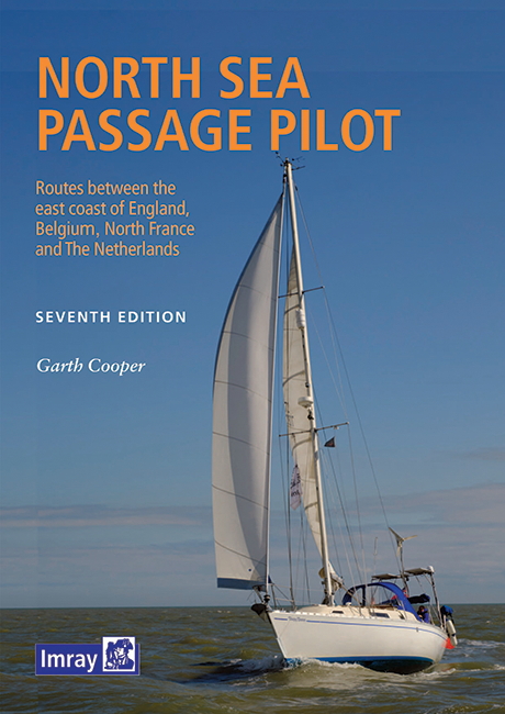
North Sea Passage Pilot
Southern North Sea passage guide with passage routes for traversing this challenging tidal area between the English east coast and the west coasts of the Netherlands and Belgium.The North Sea Passage

€43.00*

Products near this article

Products near this article

NV Charts England UK5 - Thames Estuary to Great Yarmouth
The NV Charts England UK5 covers the southeast coast of Great Britain from the Thames estuary to Great Yarmouth. Our charts are based on official data from the United Kingdom Hydrographic Office (UKHO

€64.99*
NV Charts England UK4 - Selsey Bill to London
The NV Charts England UK4 takes you past the historic North Foreland into the centre of London - or further west along the coast and towns such as Eastbourne and Brighton. Our charts are bas

€64.99*
East Coast Pilot
The Area Guide to the East Coast of England from Great Yarmouth to Ramsgate in EnglishThe East Coast Pilot not only covers the many harbours rivers and creeks in a clear and concise manner but als

€34.50*
East Coast Rivers Cruising Companion
East Coast Rivers covers the rivers creeks shoals and river sections of the Thames Estuary and surrounding rivers stretching from Lowestoft to Ramsgate.Since 1956 when Jack Coote Jans father published

€49.90*

Reviews

0 of 0 reviews

Leave a review!

Share your experiences with other customers.