Skip to main content Skip to search Skip to main navigation

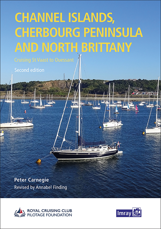
Product information "Channel Islands, Cherbourg Peninsula and North Brittany"


This popular pilotage guide covers the waters of the Channel Islands and the neighbouring French coast from the north-east of the Cherbourg Peninsula westwards along the coast of Normandy and Brittany to Ouessant. The coverage includes the Plateau des Roches Douvres as well as detailed sections on the navigable rivers.

Peter Carnegie has researched these waters extensively over many years. His numerous photographs and accompanying plans show many passages that allow safe navigation in these waters with high tidal ranges and fast currents.

Annabel Finding's revised version of the book contains updated harbour information and plans as well as a number of new photos.

This sailing area can seem intimidating to the first-timer, but 'Carnegie's book provides reassurance and so much practical advice that anyone using it can be sure of success.'' (Yachting Monthly). Whether for your first cruise or to help you explore some of the more challenging passages and anchorages, this is the definitive cruising guide and an indispensable companion.

In English language.


Product info:


Author: RCCPF/P Carnegie & A Finding

Publisher: Imray

Details: A4, hardcover, 4-colour

Edition: 2nd edition 2023

ISBN: 9781786793737

Manufacturer No.: IB0199-2


Properties "Channel Islands, Cherbourg Peninsula and North Brittany"
Author: Peter Carnegie
Format: Hardcover / gebunden
Language: Englisch
Region: Europa, Englischer Kanal, Atlantik, Frankreich Atlantik
Properties "Channel Islands, Cherbourg Peninsula and North Brittany"
Author: Peter Carnegie
Format: Hardcover / gebunden
Language: Englisch
Region: Europa, Englischer Kanal, Atlantik, Frankreich Atlantik

0 of 0 reviews

Average rating of 0 out of 5 stars

Leave a review!

Share your experiences with other customers.


Area preview

With the help of our area preview, you can get an impression of which geographical region the product deals with or which areas a nautical chart covers.

Other customers bought also

Gebietsvorschau für NV Charts France FR2 - Cherbourg à St. Malo öffnen
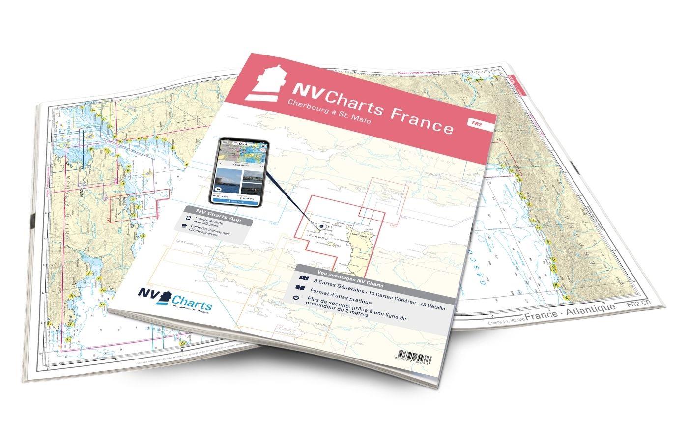
NV Charts France FR2 - Cherbourg à St. Malo
If you are drawn to the marvellous Channel Islands, the NV Charts Atlas FR2 is well advised! Thanks to the clear layout, the recreational skipper can quickly find approaches, harbours and anchorages a

€64.99*
Gebietsvorschau für NV Charts France FR3 - St. Malo aux Sept Îles öffnen
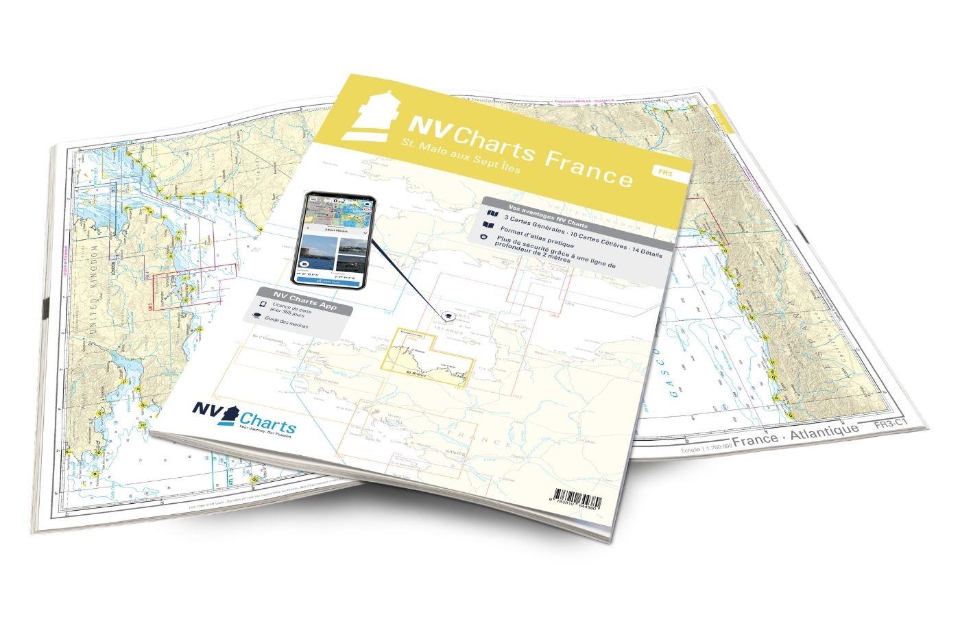
NV Charts France FR3 - St. Malo aux Sept Îles
Would you like to discover the coast of northern Brittany? Then the NV Charts France FR3 Atlas is your partner at sea. Thanks to the clear layout, the recreational skipper can quickly find a

€64.99*
Logbuch / Schiffstagebuch NV
The NV Logbook / Ships Diary with the officially prescribed page numbering is clear and practical.The clear division for navigation data with time course sm and remarks on the course of the voyage suc

€15.90*
Gebietsvorschau für NV Charts France FR4 - Les Sept Isles à Douarnenez öffnen
NV Charts France FR4 - Les Sept Isles à Douarnenez
The NV Charts France FR4 covers the north-western tip of Brittany. Thanks to the clear layout, the recreational skipper can quickly find approaches, harbours and anchorages and is informed o

€64.99*

Related products to this item

Gezeitentafeln 2025: Europäische Gewässer
Nautical publication with all tidal information and its forecasts as well as instructions for use for the tidal ranges in Europe. The "Gezeitentafeln 2025: Europäische Gewässer" (Tide Tables for

€28.00*
Gebietsvorschau für NV Charts Atlantic ATL1 - English Channel to Vigo öffnen
NV Charts Atlantic ATL1 - English Channel to Vigo
With the NV Charts Atlantic Atlas ATL1 you have a reliable companion for the Bay of Biscay from Falmouth to Vigo at your side. Thanks to the clear layout, the recreational skipper can quickly find app

€74.99*
Gebietsvorschau für Secret Anchorages of Brittany öffnen
Secret Anchorages of Brittany
A detailed cruising guide to Brittany in FranceThe cruising guide "Secret Anchorages of Brittany" is suitable for all water sports enthusiasts planning a trip to Brittany. It covers the entire region

€38.80*
Bloc Côtier : Atlantique
The "Bloc Côtier" is the reduced version of the "Bloc Marine".In this book, you will find precise information about port areas, safety at sea and legal regulations. It contains port plans and also a s

€24.00*

Similar products

Gebietsvorschau für NV Charts Bermuda 16.1 - Passages US East Coast - Caribbean - Europe öffnen
NV Charts Bermuda 16.1 - Passages US East Coast - Caribbean - Europe
With the NV Charts Bermuda 16.1 Atlas you have the right companion for the US East Coast - Caribbean - Europe passages at your side. Thanks to the clear layout, you can find accesses, harbours an

€69.80*
Gebietsvorschau für CCC Orkney and Shetland Islands including North & Northeast Scotland öffnen
CCC Orkney and Shetland Islands including North & Northeast Scotland
A cruising guide to the Orkney and Shetland Islands which includes Fair Isle. This cruising guide also covers the "jumping off ports" on the south side of the Pentland Firth and the Scottish main

€48.50*
Gezeitentafeln 2025: Europäische Gewässer
Nautical publication with all tidal information and its forecasts as well as instructions for use for the tidal ranges in Europe. The "Gezeitentafeln 2025: Europäische Gewässer" (Tide Tables for

€28.00*
Gebietsvorschau für Gezeitenstromatlas NP251 North Sea, Southern Part öffnen
Gezeitenstromatlas NP251 North Sea, Southern Part
Tidal streams diagrams include detailed tidal stream direction and strength information. They show at a glance the direction and rate of tidal streams display neap and spring tidal rates in tenths of

€33.90*
Lochs and lights
An illustrated book of the west coast of mainland Scotland by Patrick Roach and Gordon Buchanan.Lochs and Light' is an illustrated book of stunning aerial photographs of the west coast of Scotland, on

€14.80*
Gebietsvorschau für NV Charts Pilot 6 - US East Coast, Maine to Caribbean • Bermuda öffnen
NV Charts Pilot 6 - US East Coast, Maine to Caribbean • Bermuda
The Pilot 6 is a planning chart for the east coast of the USA. The Antilles, Cuba and the Caribbean Sea can also be found on this chart.This folding chart consists of two overview charts:Chart 1, scal

€24.99*
Gebietsvorschau für NV Charts Atlantic ATL1 - English Channel to Vigo öffnen
NV Charts Atlantic ATL1 - English Channel to Vigo
With the NV Charts Atlantic Atlas ATL1 you have a reliable companion for the Bay of Biscay from Falmouth to Vigo at your side. Thanks to the clear layout, the recreational skipper can quickly find app

€74.99*
Gebietsvorschau für NV Charts France FR8 - Île d'Oléron à San Sebastian - Bordeaux öffnen
NV Charts France FR8 - Île d'Oléron à San Sebastian - Bordeaux
With the NV Charts France FR8 You can travel from the sailing stronghold of La Rochelle via the Gironde to Bordeaux or as far as the Spanish border. Thanks to the clear layout, the sports skipper can

€64.99*
Gebietsvorschau für Atlantic Spain & Portugal öffnen
Atlantic Spain & Portugal
This book by Hernry Buchanan is a most suitable travel companion for anyone drawn to the Atlantic coast of Spain and Portugal. It covers the area from Cabo Ortegal in Galicia and then goes through Por

€61.50*
Gebietsvorschau für NV Charts Pilot 5 North Atlantic Ocean - Gibraltar to Caribbean, Atlantic Islands öffnen
NV Charts Pilot 5 North Atlantic Ocean - Gibraltar to Caribbean, Atlantic Islands
The NV Charts Pilot 5 is a folding chart that you absolutely need for planning a transatlantic passage. The west coast of Spain, Portugal, Morocco and the Canary Islands are covered in this oversailer

€24.99*
Gebietsvorschau für NV Charts Pilot 2, North Sea - Falmouth to Kristiansand - Inverness öffnen
NV Charts Pilot 2, North Sea - Falmouth to Kristiansand - Inverness
NV Charts Pilot 2, North Sea - Falmouth to Kristiansand - InvernessThe Pilot 2 from NV Charts is the planning chart that is needed for the North Sea. The west coast of Denmark, the German North Sea an

€24.99*
Reeds Eastern Almanac 2025
Detailed guide to the east coast of England to the Shetland Islands and the North Sea coast of the Netherlands and Belgium.A great aid for watersports enthusiasts in a handy spiral binding. Extracted

€50.10*