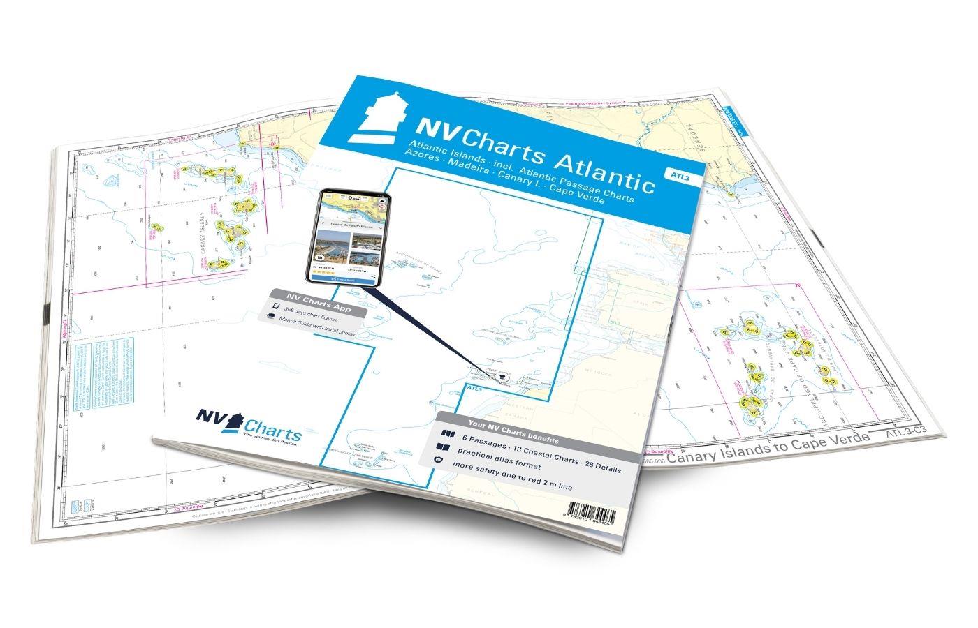
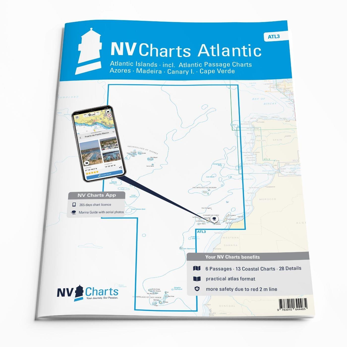
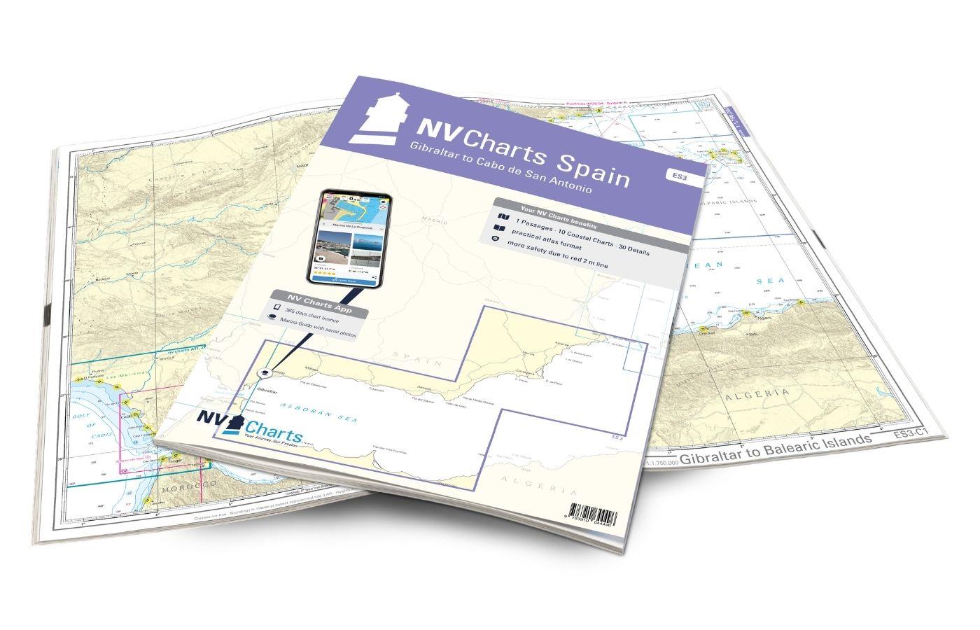
NV Charts Atlantic ATL3 - Atlantic Islands Azores - Madeira, Canary Islands, Cape Verde
Description
If you want to embark on the great adventure of crossing the Atlantic, the NV Charts Atlantic ATL3 is ideally equipped. Thanks to the clear layout, the recreational skipper can quickly find approaches, harbours and anchorages and is informed of navigationally important details that also appear in the NV Charts app. The chart series impresses with its optimised dimensions and balanced sheet sections.
Regions overview
The Atlantic islands - the archipelagos of Madeira, the Canary Islands, the Azores and Cape Verde - are also described in detail in this atlas. If you want to go there, you may be drawn even further towards the Caribbean. But the map set is also ideal for travelling to or from the respective island groups.
One of the best-known archipelagos are the Spanish Canary Islands. These are characterised by a diverse landscape. Lanzarote is known for its black lava rocks and beaches, while Tenerife is often associated with the Pico del Teide, the highest mountain in Spain. Incidentally, it can also be admired from the water. Those who appreciate greenery will be happy on La Palma, the largest island in the Canary Islands. Madeira, which lies to the north of the Canary Islands, is also worth a stopover. The smaller Portuguese archipelago is characterised by its mountainous landscape, which even extends to the coast. To the south of the Canary Islands are the Cape Verde Islands. This independent archipelago is not yet a tourist magnet and is also very varied, which is why a trip there is definitely worthwhile if you have enough time.
If you are travelling to Europe, we recommend the ATL1 (towards Spain) or the ATL2 (towards Portugal) for your onward journey. If you are travelling to America, we can recommend our atlases for the Caribbean, Bahamas, Cuba or Florida. We will be happy to advise you and, if required, put together a selection of our guidebooks for the Atlantic islands.
This map set includes
- 6 &sailors
- 13 territory maps
- 28 detailed maps
- Digital charts for navigation program and NV Charts App 356-day licence
- Navigation instructions in English
- Tide tables
- Harbour plans paper & digital
- Fulfils all legal requirements for up-to-date paper charts on board
All advantages at a glance
- NV Atlas chart format: Practical, handy atlas format, opened in A2, closed in A3 format, flat staple binding in the centre - makes it easy to work with the course triangle
- NV Charts app: including access code to the digital nautical charts of the purchased area in the NV Charts app with 365-day licence, for offline navigation with the app on iOS, Android, PC, Mac or in the web browser, comprehensive harbour manual
- Extremely detailed: Nautical charts based on data from official surveys and own surveys, particularly detailed outside the main fairways
- Optimised for recreational boating
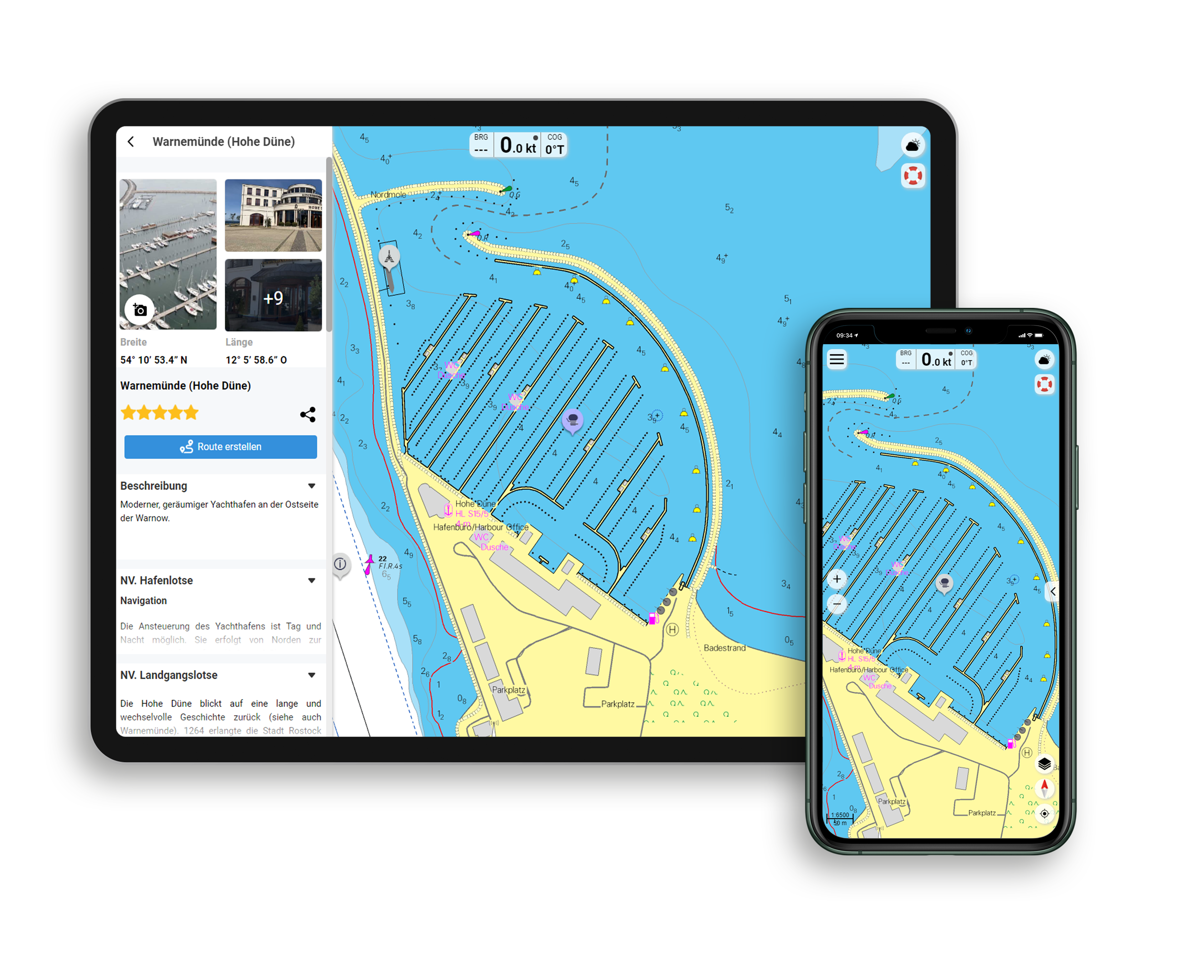
Functions of the NV Charts app
- Flexible autorouting
- Satellite overlay
- Augmented reality
- VMG (Velocity Made Good)
- BoatView harbour guide
- Track recording
- AIS connection and much more.
Charts and measures included
Übersegler
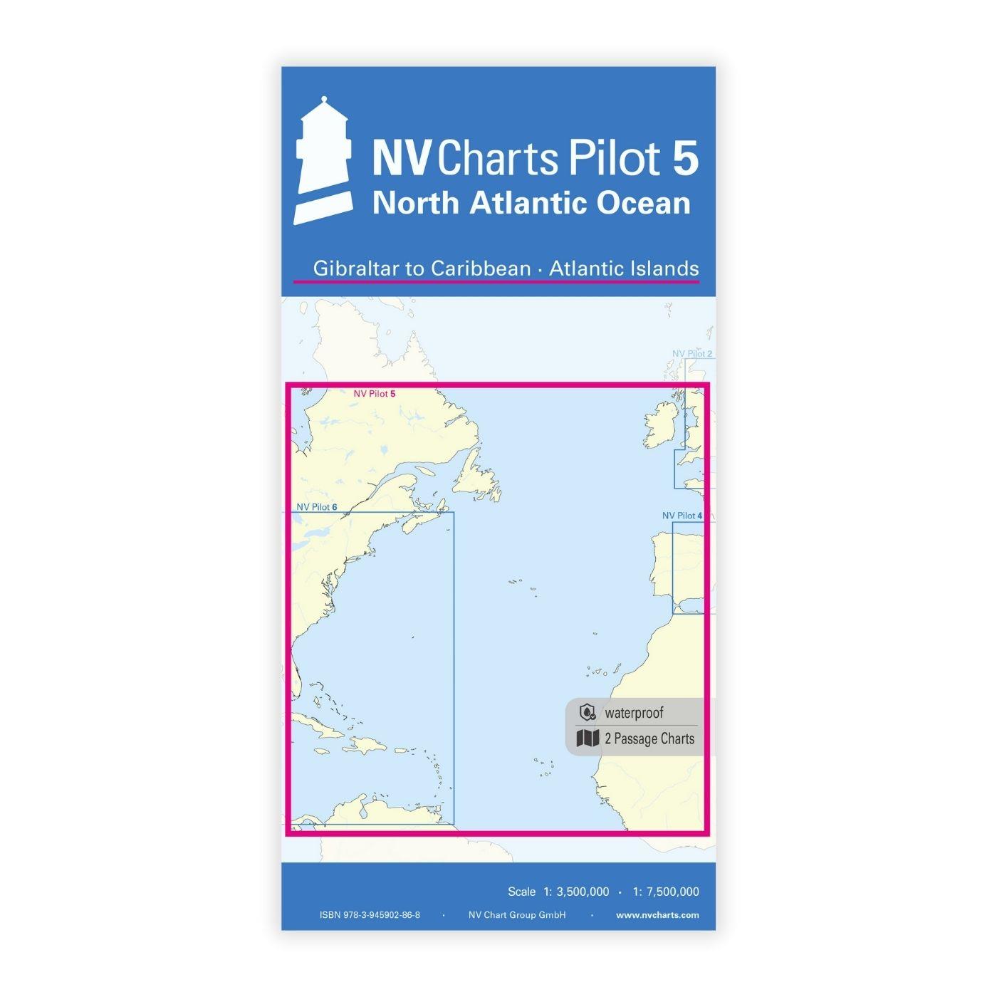
C1 North Atlantic Ocean (folded Chart) 1: 7,500,000, C2 Atlantic Islands (folded Chart) 1: 3,500,000 , C3 Canary Islands to Cape Verde 1: 3,500,000 , C4 Madeira to Canary Isl. - Casablanca 1: 1,750,000 , C5 Archipelago of Azores 1: 1,100,000 , C6 Canary Islands 1: 950,000 , C7 Archipelago of Cape Verde 1: 950,000
Territory maps
C8A Azores West - Flores 1: 200,000 , C8B Azores Southeast - St. Maria 1: 200,000 , C9 Archipelago of Azores North 1: 200,000 , C10 Archipelago of Azores Middle 1: 200,000 , C11 Archipelago of Azores East 1: 200,000 , C12A Azores - Faial Passage 1: 40,000 , C12B Archipelago of Madeira West 1: 200,000 , C13 Archipelago of Madeira East 1: 200,000 , C14 Madeira - Ensenada de Macchio 1: 30,000 , C15 Canary Islands Northwest 1: 300,000 , C16 Canary Islands Southwest 1: 300,000 , C17 Canary Islands Middle 1: 300,000 , C18 Canary Islands Northeast 1: 300,000 , C19 Canary Islands North 1: 300,000 , C20 Canary I. N - Estrecho de la Bocayna 1: 70,000 , C21A Selvage Islands 1: 100,000 , C21B Cape Verde East 1: 400,000 , C22 Cape Verde South 1: 400,000 , C23 Cape Verde North 1: 400,000
Detailed maps
C24A Azores - Faial - Horta 1: 15,000 , C24B Azores - Pico - Magdalena 1: 15,000 , C24C Azores - St. Maria - Vila do Porto 1: 15,000 , C24D Azores - Flores - Lajes 1: 20,000 , C24E Azores - Graciosa - Praia 1: 20,000 , C24F Azores - Terceira - Vitoria 1: 15,000 , C25A Azores - Terceira - Heroismo 1: 20,000 , C25B Azores - São Jorge - Velas 1: 15,000 , C25C Azores - Pico - Approach Lajes 1: 20,000 , C25D Azores - Pico - Lajes 1: 7,500 , C25E Azores - São Miguel - Rabo de Peixe 1: 10,000 , C25F Azores - São Miguel - Campo Miguel 1: 15,000 , C25G Azores - São Miguel - Pta. Delgada 1: 15,000 , C26A Madeira- Funchal 1: 10,000 , C26B Madeira- Porto Santo 1: 10,000 , C26C Canary I.- P. Mogan to Maspalomas 1: 70,000 , C26D Canary I.- Pta. Rasca 1: 60,000 , C27A Canary I.- Tenerife - Sta. Cruz 1: 30,000 , C27B Canary I.- Tenerife - Güímar to Radazul 1: 60,000 , C27C Canary I.- La Graciosa - Estrecho del Rio 1: 70,000 , C27D Canary I. - Lanzarote - Arrecife 1: 15,000 , C27E Canary I. - La Gomera - S. Sebastian 1: 15,000 , C28A Canary I. - Gran Canaria - Las Palmas 1: 20,000 , C28B Canary I. - Fuertev. - Rosario to Fuste 1: 70,000 , C28C Canary I. - La Palma - Sta.Cruz 1: 20,000 , C28D Canary I. - La Palma - Tazacorte 1: 20,000 , C28E Canary I. - El Hierro - Estaca 1: 15,000 , C28F Canary I. - Fuerteventura - Gran Tarajal 1: 8,000 , C29A Cape Verde - Bõavista - Sal Rei 1: 30,000 , C29B Cape Verde - Sal - Palmeira 1: 15,000 , C29C Canary I. - El Hierro - Restinga 1: 20,000 , C29D Cape Verde - Santiago - Porto Praia 1: 20,000 , C29E Cape Verde - Sal - Sta. Maria 1: 20,000 , C29F Cape Verde - S.Vincente - Porto Grande 1: 20,000
Legend - General Notes - p.30
| App License: | NV Charts App |
|---|---|
| Format: | NV Atlas, Gebundener Kartensatz |
With the help of our area preview, you can get an impression of which geographical region the product deals with or which areas a nautical chart covers.
Related products to this item
Reviews
Login

