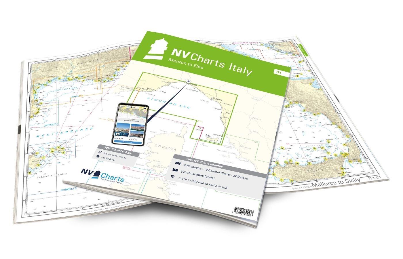
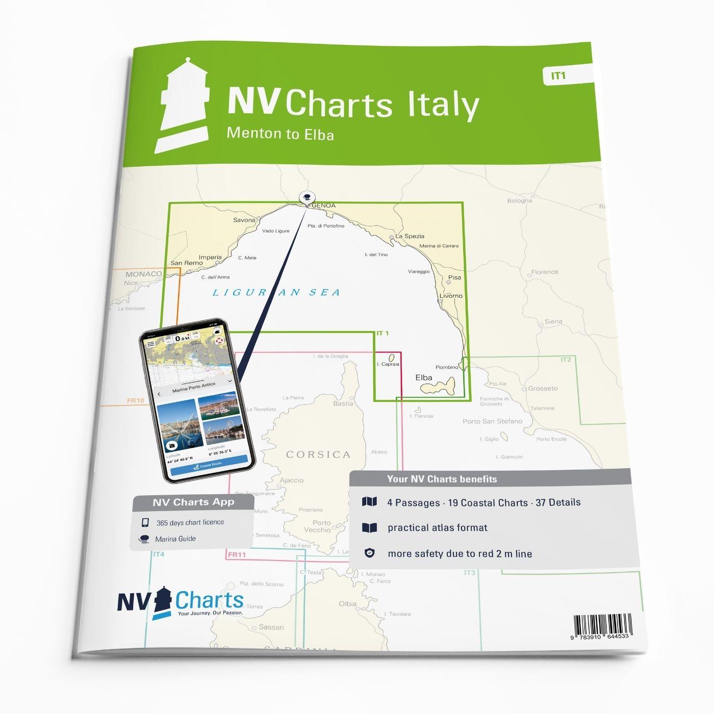
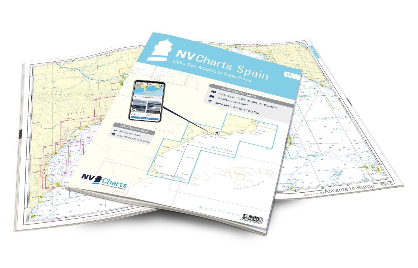
NV Charts Italy IT1 - Menton to Elba
Description
The NV Charts Italy Atlas IT1 covers the dreamlike Italian Riviera from Menton to Elba . Thanks to the clear layout, the recreational skipper can quickly find approaches, harbours and anchorages and is informed of navigationally important details that also appear in the NV Charts app. The chart series impresses with its optimal dimensions and balanced sheet sections.
Regions overview
Anyone travelling from the Côte d'Azur to the Italian Riviera should have the IT1 in their luggage. La Dolce Vita is particularly evident here in the harbours. Coming from France, Porto Sole in San Remo is the first harbour to head for. From the water, the rugged coastline and the enchanting seaside villages have a special charm. One of the most beautiful towns is Finale Ligure on the Riviera of Palms. Along the coast there are charming harbours and the bagnos on the beaches that are so common in Italy. There is also the sixth largest city in Italy, Genoa, where there are many sunbathing spots in the city centre. Also worth a detour is Portofino, a picturesque fishing village in the Gulf of Tigullio that has become famous as a society hotspot. Famous seaside resorts such as Rapello and Sestri Levante follow until you reach the Cinque Terre coast, which is a UNESCO World Heritage Site. Livorno, with ferry connections to Bastia, Barcelona and Tangier, is a large Tuscan harbour town with many moorings. This map set also includes the two offshore islands of Gorgona, home to an agricultural penal colony that can only be visited by reservation, and Capraia, the only volcanic island in the Tuscan archipelago. The last destination in this set of maps is the third-largest Italian island of Elba, which has six harbours and numerous anchorages and is very popular with sailors.
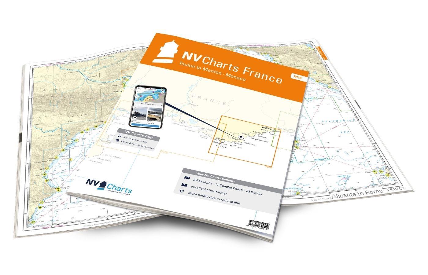
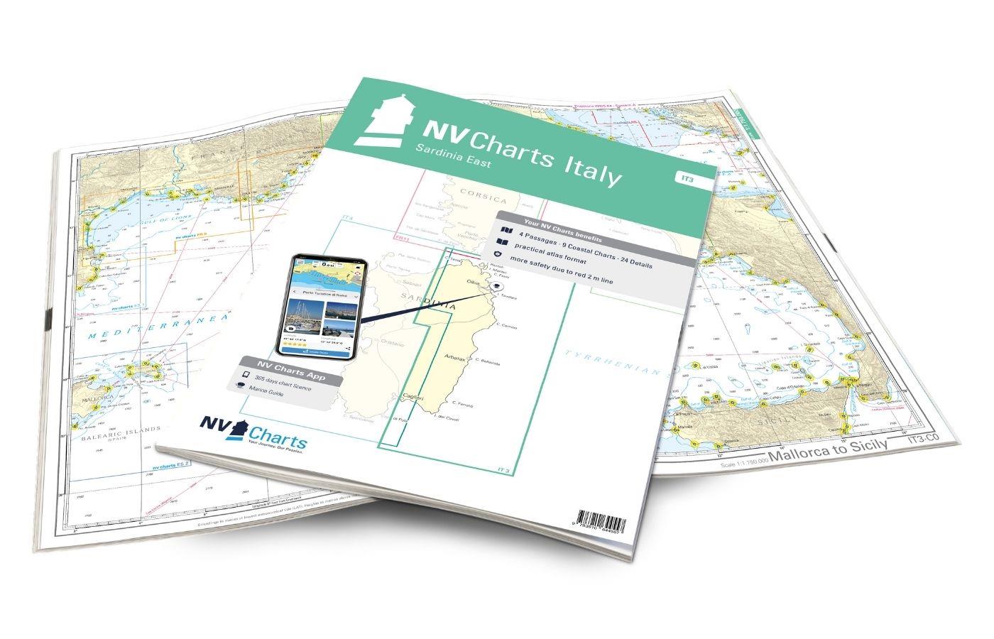
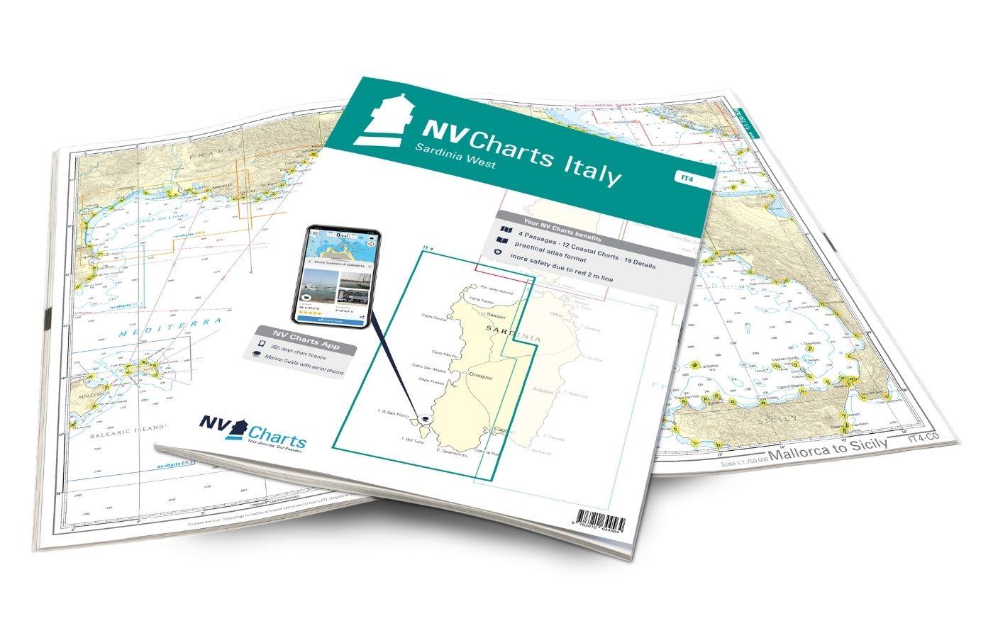
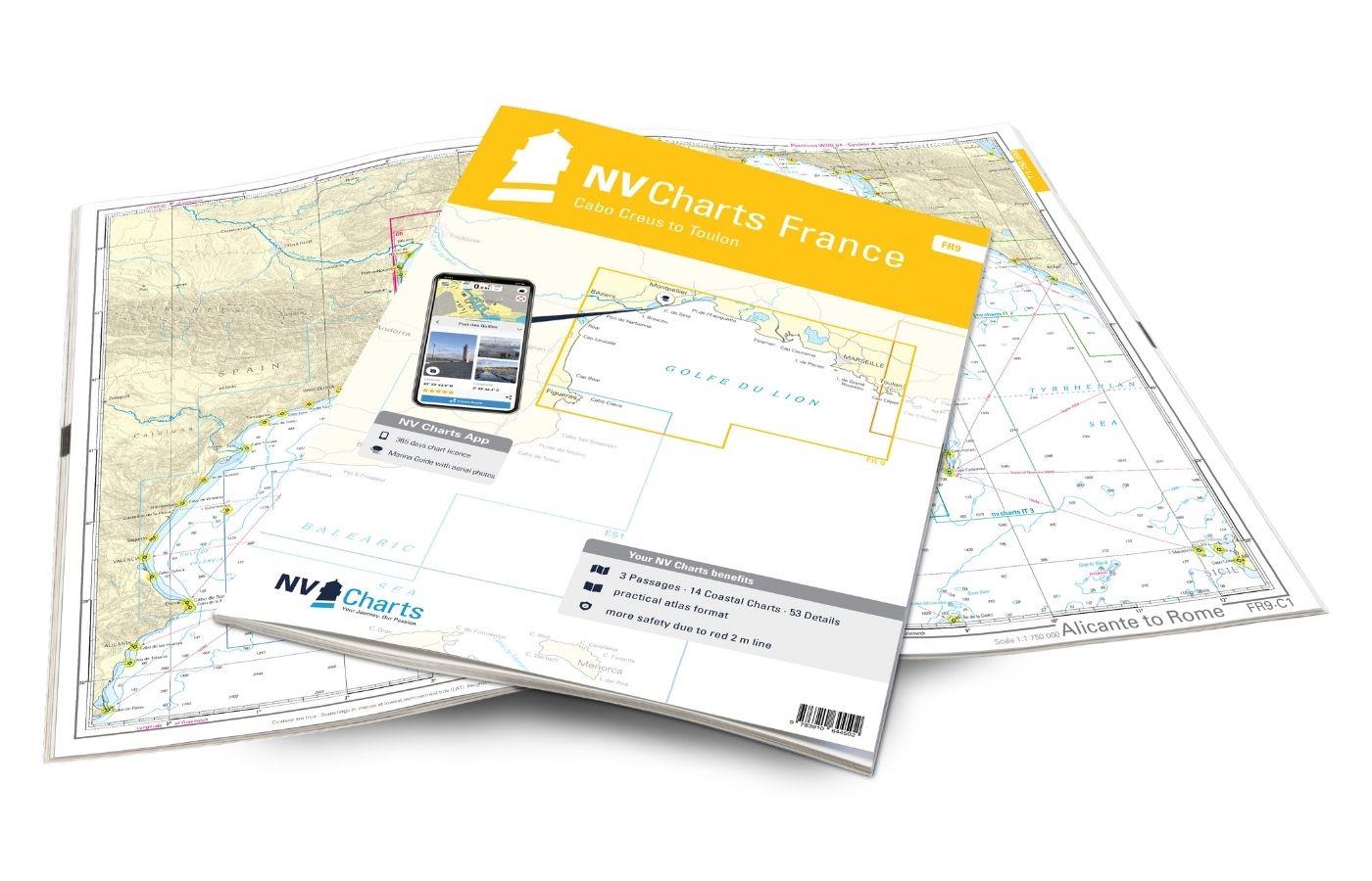
As a supplement to this chart set, we recommend the IT2, which you can use to travel along the Italian coast, or the FR11 to circumnavigate Corsica. If you want to explore further along the French coast, we recommend the FR10 atlas. We will be happy to put together the right guidebooks for you.
This map set contains
- 4 &sailors
- 19 territory maps
- 37 detailed maps
- Digital charts for navigation program and NV Charts App 356-day licence
- Navigation instructions in English and Italian
- Harbour plans paper & digital
- Fulfils all legal requirements for up-to-date paper charts on board
All advantages at a glance
- NV Atlas chart format: Practical, handy atlas format, opened in A2, closed in A3 format, flat staple binding in the centre - makes it easy to work with the course triangle
- NV Charts app: including access code to the digital nautical charts of the purchased area in the NV Charts app with 365-day licence, for offline navigation with the app on iOS, Android, PC, Mac or in the web browser, comprehensive harbour manual
- Extremely detailed: Nautical charts based on data from official surveys and own surveys, particularly detailed outside the main fairways
- Optimised for recreational boating
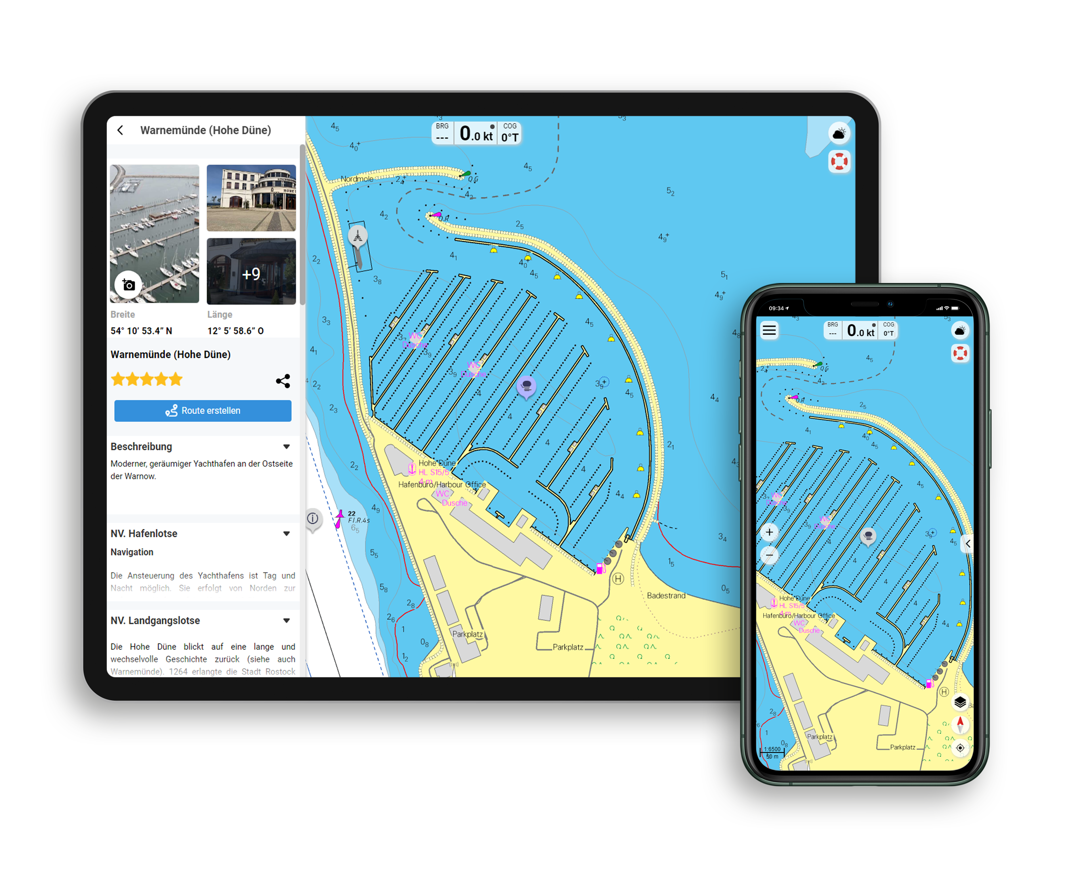
Functions of the NV Charts app
- Flexible autorouting
- Satellite overlay
- Augmented reality
- VMG (Velocity Made Good)
- BoatView harbour guide
- Track recording
- AIS connection and much more.
Charts and measures included
Übersegler
C 0 Mallorca to Sicily 1 : 1,750,000 , C 2 Gulf of Genoa 1 : 350,000 , C 3 Genoa to Elba 1 : 350,000 , C 4 Corsica Channel 1 : 350,000
Area maps
C 5 Cap Martin to Capo Noli 1 : 150.000 , C 6 Capo Noli to Portofino 1 : 150.000 , C 7 Portofino to La Spezia 1 : 150.000 , C 8 La Spezia to Livorno 1 : 150. 000 , C 9 Tuscan Islands North 1 : 150.000 , C10 Piombino to Elba 1 : 150.000 , C11 Cap Martin to Capo dell'Arma 1 : 60.000 , C12 Capo dell'Arma to Capo Mele 1 : 60.000 , C13 Capo Mele to Pta. Donato 1 : 60.000 , C14 Pta. Donato to Pta. d'Invrea 1 : 60.000 , C15 Pta. d'Invrea to Genoa 1 : 60.000 , C16 Genoa to Pta. Manara 1 : 60.000 , C17 La Spezia to Carrara 1 : 60.000 , C18 Pisa to Pta. Fortullino 1 : 60.000 , C19A Isola di Gorgona 1 : 30.000 , C19B Capraia 1 : 60.000 , C19C Pta. Fortullino to Cecina 1 : 60,000 , C20 Elba West 1 : 60,000 , C21 Canale di Piombino - Elba East 1 : 60,000
Detailed maps
C22A Menton 1 : 12,000 , C22B San Remo 1 : 12,000 , C22C Marina Degli Aregai 1 : 12,000 , C22D Marina di San Lorenzo 1 : 10,000 , C22E Imperia 1 : 12,000 , C22F Andora 1 : 6,000 , C22G Alassio 1 : 6,000 , C23A Loano 1 : 10,000 , C23B Finale Ligure 1 : 6,000 , C23C Savona 1 : 12. 000 , C23D Varazze 1 : 6,000 , C23E Arenzano 1 : 6,000 , C23F Genoa Sestra Ponente 1 : 12,000 , C24A Genoa West 1 : 20,000 , C24B Genoa East 1 : 20,000 , C25A Portofino to Rapallo 1 : 15,000 , C25B Genoa - Porto Vecchio 1 : 12,000 , C25C Chiavari & Lavagna 1 : 12,000 , C26 La Spezia 1 : 20. 000 , C27A Sestri Levante 1 : 12,000 , C27B Marina di Carrara 1 : 12,000 , C27C Viareggio 1 : 12,000 , C27D Porto di Pisa 1 : 6,000 , C27E Livorno 1 : 12,000 , C27F Marina Cala de Medici 1 : 6,000 , C27G Porto di Cecina 1 : 10,000 , C28A San Vincenzo 1 : 6,000 , C28B Salivoli 1 : 6. 000 , C28C Puntone di Scarlino 1 : 6.000 , C28D Porto Capraia 1 : 6.000 , C29A Marciana Marina 1 : 6.000 , C29B Cavo 1 : 10.000 , C29C Portoferraio 1 : 12.000 , C29D Pta.Ala Marina 1 : 12.000 , C29E Porto Azzurro 1 : 12.000 , C29F Marina di Campo 1 : 6.000 , C29G Rio Marina 1 : 6.000
| App License: | NV Charts App |
|---|---|
| Format: | NV Atlas, Gebundener Kartensatz |
With the help of our area preview, you can get an impression of which geographical region the product deals with or which areas a nautical chart covers.
Related products to this item
Reviews
Login

