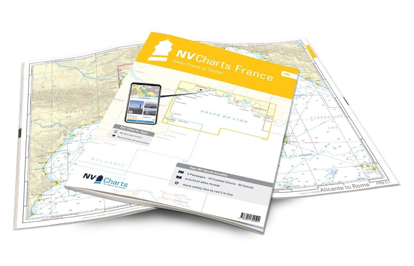
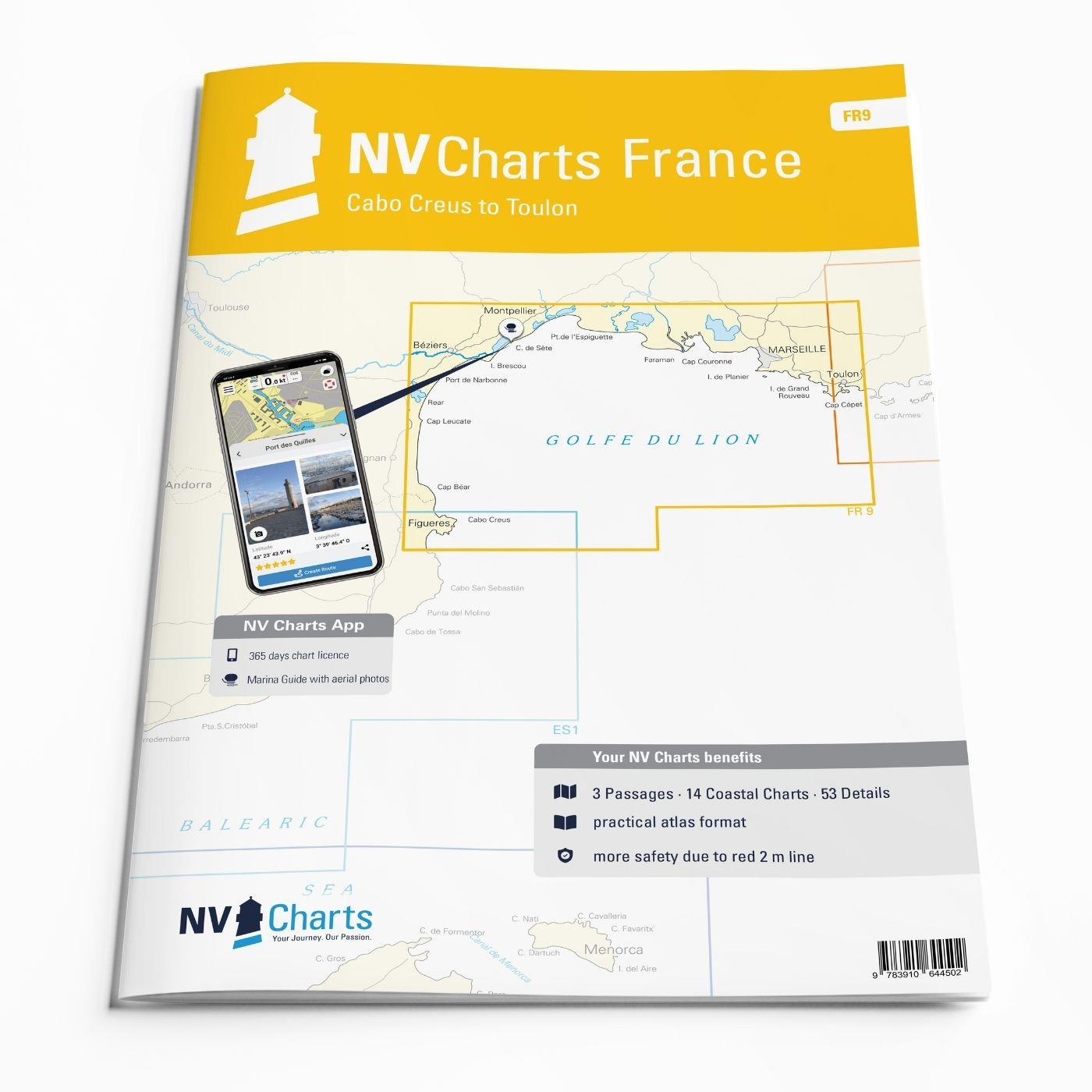
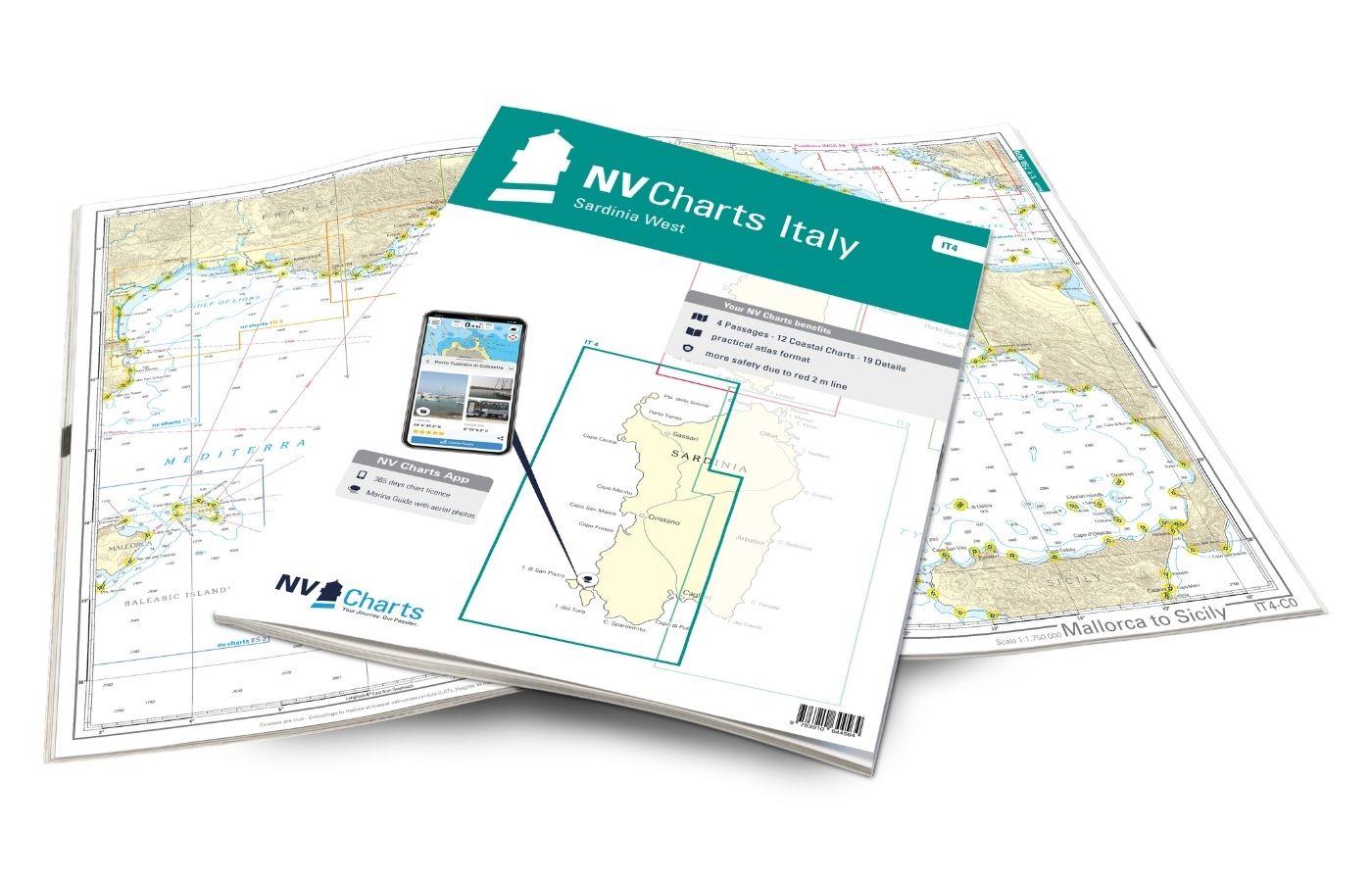
NV Charts France FR9 - Cabo Creus to Toulon
Description
With the NV Charts France Atlas FR9 you have a reliable companion at your side from the northern Mediterranean coast of Spain to Toulon in France. Thanks to the clear layout, recreational boaters can quickly find approaches, harbours and anchorages and are informed of navigationally important details that also appear in the NV Charts app. The chart series impresses with its optimal dimensions and balanced sheet sections.
Regions overview
The FR9 accompanies you reliably from the beautiful Cap de Creus to France, via the historic harbour city of Marseille to Toulon. The Cap de Creus, a peninsula made up of bizarre rock formations from the Pyrenean foothills, is well worth seeing, jutting out into the sea for around 10 kilometres and attracting visitors with its countless bays. Before heading to the French coast, it is worth making a stop in the tranquil Port de la Selva, which is known as Little Venice on the French side and is located approx. 30 km south-west of Montpellier. There are several large harbours along the route, such as Port Camargue, Port-St-Louis-du-Rhône, Port de Martigues and Port Carry le Rouet, until you reach historic Marseille. There, a mooring in the Vieux Port of Marseille is recommended - this harbour already existed in ancient times! A visit to the Frioulen Islands off the coast of Marseille is also worthwhile. The enchanting town of Cassis is worth a stopover, with the Calanque de Port Miou, a viewpoint above the small harbour, inviting you to take a break.
As a supplement to this map set, we recommend the NV Charts France FR10 which accompanies you from Toulon along the Côte d'Azur to Monaco. If you want to continue your trip to the Spanish waters, we recommend the NV Charts Spain ES1 which extends to the city of Denia.
This map set includes
- 3 &sailors
- 14 territory maps
- 53 detailed maps
- Digital charts for navigation program and NV Charts App 356-day licence
- Navigation instructions in English and French
- Tide tables
- Harbour plans paper & digital
- Fulfils all legal requirements for up-to-date paper charts on board
All advantages at a glance
- NV Atlas chart format: Practical, handy atlas format, opened in A2, closed in A3 format, flat stapling in the centre - makes it easy to work with the course triangle
- NV Charts app: including access code to the digital nautical charts of the purchased area in the NV Charts app with 365-day licence, for offline navigation with the app on iOS, Android, PC, Mac or in the web browser, comprehensive harbour manual
- Extremely detailed: Nautical charts based on data from official surveys and own surveys, particularly detailed outside the main fairways
- Optimised for recreational boating
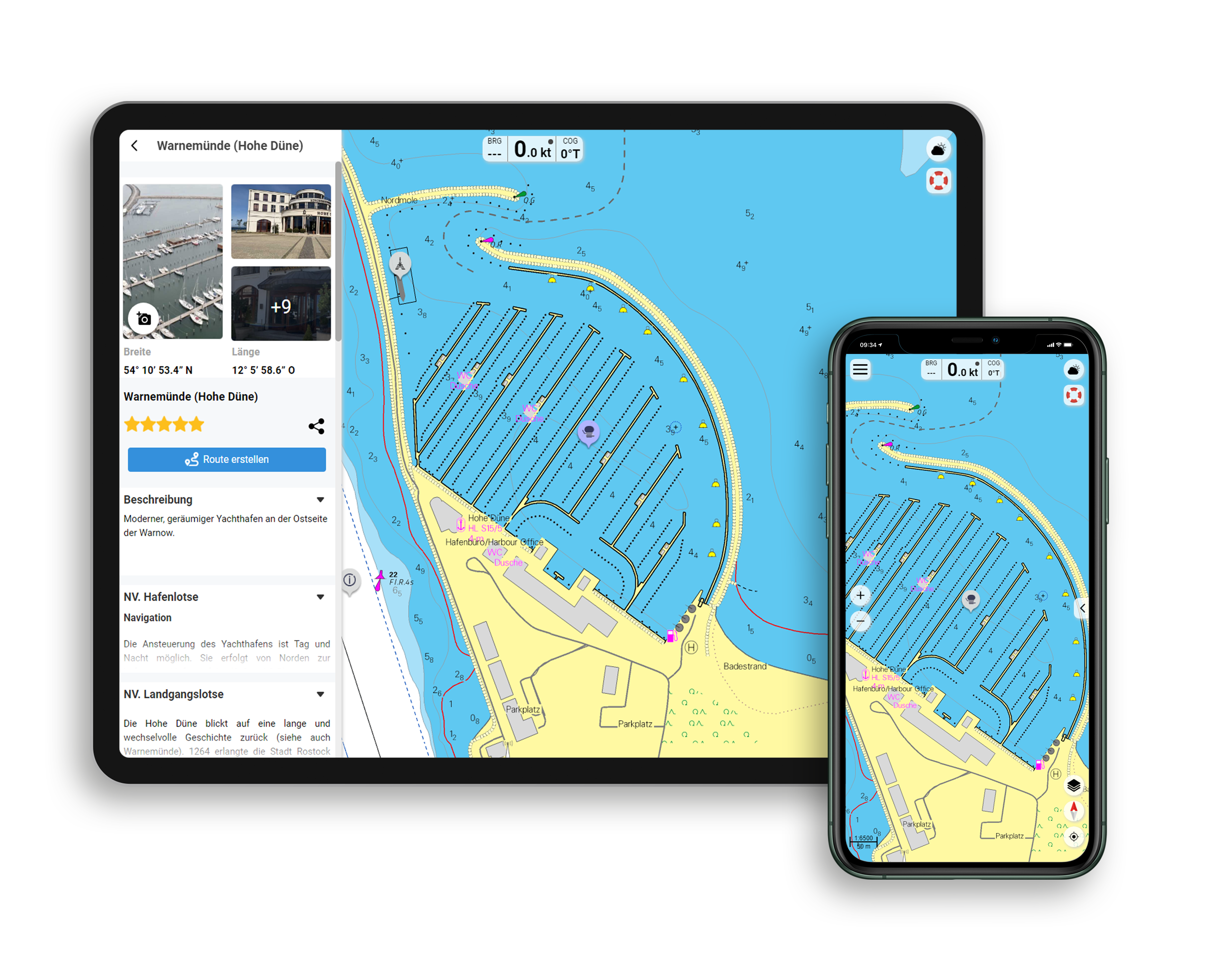
Functions of the NV Charts app
- Flexible autorouting
- Satellite overlay
- Augmented reality
- VMG (Velocity Made Good)
- BoatView harbour guide
- Track recording
- AIS connection and much more.
Charts and measures included
Übersegler
C1 Alicante to Rome 1 : 1.750.000 , C2 Cabo Creus to Golfe de Stes Maries 1 : 350.000 ,C3 Golfe de Stes Maries to Iles d'Hyères 1 : 350.000
District maps
C4 Cabo Creus to Cap Leucate 1 : 150.000 , C5 Cap Leucate to Sète 1 : 150.000 , C6 Sète tp Phare de Beauduc 1 : 150.000 , C7 Phare de Beauduc to Marseille 1 : 150.000 , C8 Marseille to Toulon 1 : 150.000 , C9 Roses to Llança 1 : 50.000 , C10 Llança to Argelès-sur-Mer 1 : 50. 000 , C11 Étang de Thau 1 : 50.000 , C12 Golfe d'Aigues-Mortes 1 : 50.000 , C13 Golfe de Fos 1 : 50.000 , C14 Étang de Berre 1 : 50.000 , C15 Approaches to Marseille 1 : 50.000 , C16 Ile Tiboulen to La Ciotat 1 : 50.000 , C17 La Ciotat to Toulon 1 : 50.000
Detailed maps
C18A Port de la Selva 1 : 12,000 , C18B Cólera 1 : 10,000 , C18C Llança 1 : 6,000 , C18D Portbou 1 : 6,000 , C18E Cerbère 1 : 6,000 , C18F Banyuls-sur-Mer 1 : 12,000 , C19A Port Vendres 1 : 12,00 , C19B Argelès-sur-Mer 1 : 12,000 , C19C St.- Cyprien-Plage 1 : 12.000 , C19D Ports Bacares & Leucate 1 : 25.000 , C20A Canet-Plage 1 : 12.000 , C20B Ste.- Marie-la-Mer 1 : 6,000 , C20C Port-la-Nouvelle 1 : 25,000 , C20D Narbonne-Plage 1 : 6,000 , C20E Gruissan 1 : 25,000 , C20F Les Cabanes de Fleury 1 : 10,000 , C20G Valras-Plage 1 : 12,000 , C21 Cap d'Agde 1 : 25,000 , C22A Marseillan 1 : 6. 000 , C22B Mèze 1 : 25,000 , C22C Bouzigues 1 : 6,000 , C22D Frontignan 1 : 6,000 , C22E Sète 1 : 12,000 , C23A Palavas-les-Flots 1 : 12,000 , C23B Carnon 1 : 12,000 , C23C Le Grande-Motte 1 : 12,000 , C23D Port-Camargue 1 : 25,000 , C23E Stes.- Maries-de-la-Mer 1 : 6,000 , C23F Fos-sur-Mer 1 : 12,000 , C23G St.-Louis-du-Rhône 1 : 25,000 , C24A Canal de Caronte 1 : 25,000 , C24B Les Heures Claires 1 : 6,000 , C24C St.- Chamas 1 : 6,000 , C24D Port du Canet 1 : 6,000 , C24E Sausset-le-Pins 1 : 6,000 , C25A Carro 1 : 6,000 , C25B l'Estaque 1 : 12,000 , C25C Carry-le-Rouet 1 : 6,000 , C25D Port du Frioul 1 : 12. 000 , C25E Marseille - Vieux Port 1 : 12.000 , C25F Port de la Pte. Rouge 1 : 12.000 , C26 Ile de Frioul to Ile Riou 1 : 25.000 , C27A Calanque de Port-Miou 1 : 12.000 , C27B Cassis 1 : 6.000 , C27C St.- Cyr-sur-Mer 1 : 12,000 , C27D La Ciotat 1 : 12,000 , C28A Bandol 1 : 12,000 , C28B Sanary-Sur-Mer 1 : 12,000 , C28C Iles des Embiez 1 : 25,000 , C28D St.-Mandrier-sur-Mer 1 : 16,000 , C28E Port de la Seyne 1 : 8,000 , C28F Toulon 1 : 6,000, C29 Toulon Approach 1 : 18,000
| App License: | NV Charts App |
|---|---|
| Format: | NV Atlas, Gebundener Kartensatz |
With the help of our area preview, you can get an impression of which geographical region the product deals with or which areas a nautical chart covers.
Related products to this item
Reviews
Login

