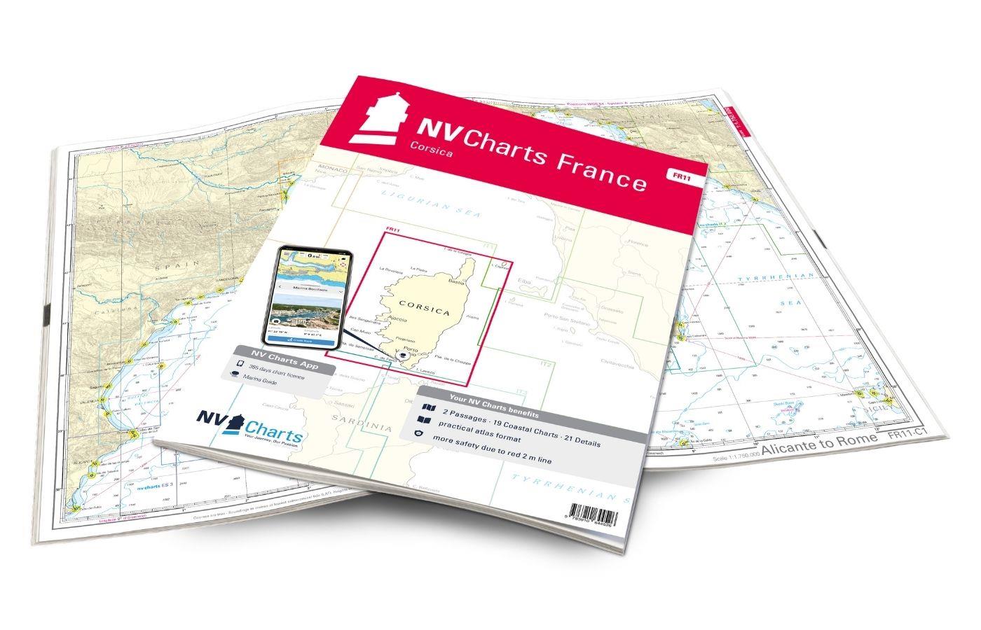
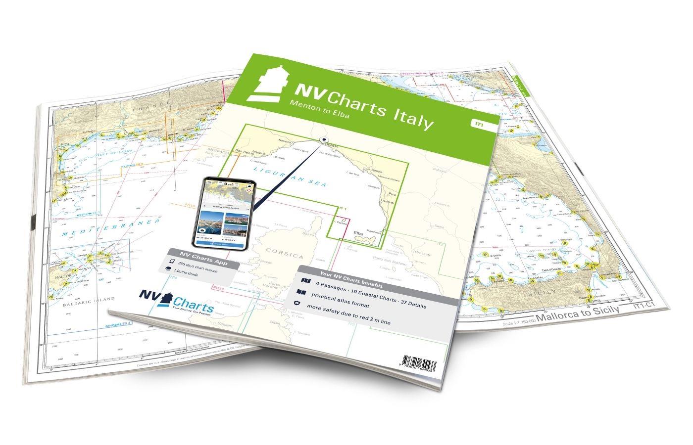
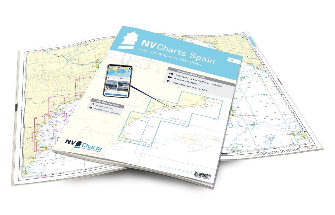
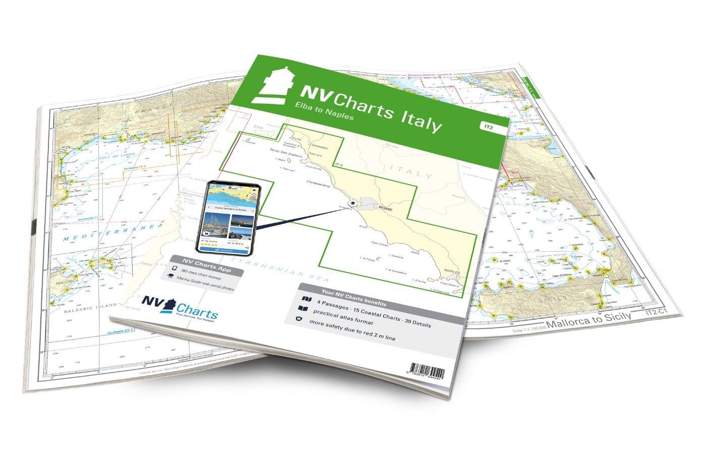
NV Charts France FR10 - Toulon to Menton, Monaco
Description
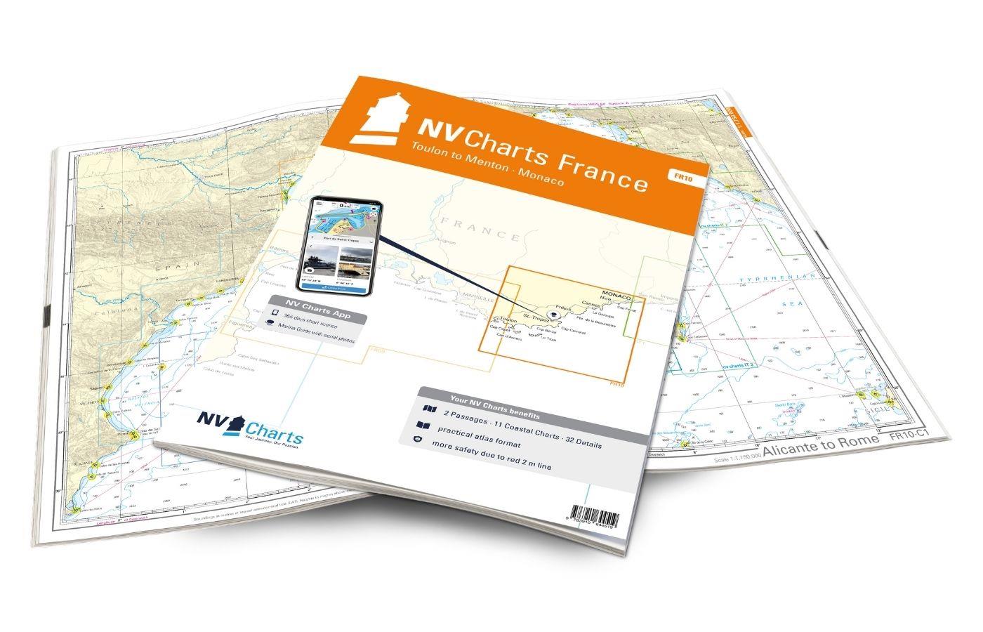
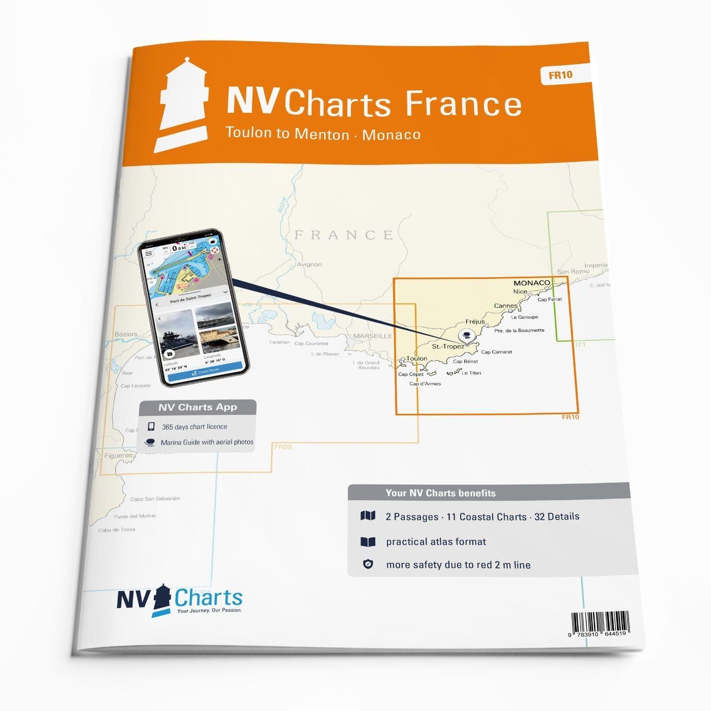
The NV Charts Atlas FR10 is your reliable partner for the Côte d'Azur . Thanks to the clear layout, the sports skipper can quickly find approaches, harbours and anchorages and is informed of navigationally important details that also appear in the NV Charts app. The chart series impresses with its optimal dimensions and balanced sheet sections.
Regions overview
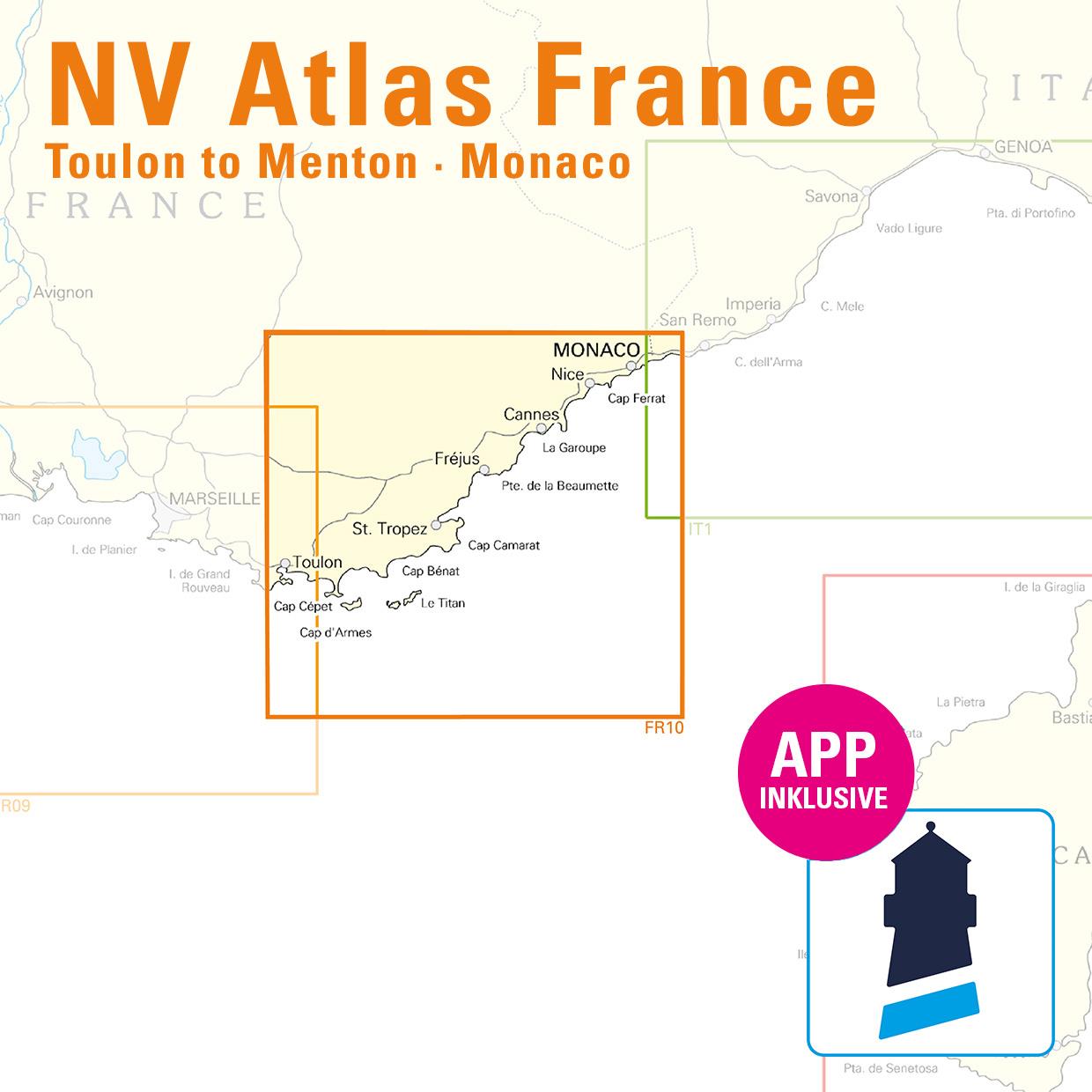
This map set starts in the harbour city of Toulon, which is considered an important naval base in France. From Toulon eastwards, there are many charming places to visit. There are numerous harbours, wonderful restaurants and good shopping opportunities. In summer, it's a good idea to book moorings in advance, otherwise you can anchor in various bays. The Côte d'Azur and its marvellous scenery can also be enjoyed in the low season. The Hyères islands of Porquerolles and Port Cros are another highlight between Toulon and Saint Tropez. Back on the coast, an anchorage on the Plage de Pampelonne behind Cap Camarat offers the opportunity to eat in the beach clubs off the coast. In addition to Saint Tropez, Port Grimaud invites you to visit the Venice of France. There are great anchorages between the islands of Marguerite and Saint Honorat. When sailing around Cap Ferrat, you can admire the beautiful nature and villas nestled in the rolling landscape.
As a supplement to this map set, we recommend the IT1, which takes you through the Ligurian Sea to Elba - or the FR11, which welcomes you to the charming island of Corsica. If you want to continue towards Marseille and the Gulf of Lion, the FR9 is the perfect travelling companion.
This map set includes
- 2 &sailors
- 11 territory maps
- 32 detailed maps
- Digital charts for navigation program and NV Charts App 356-day licence
- Navigation instructions in English and French
- Tide tables
- Harbour plans paper & digital
- Fulfils all legal requirements for up-to-date paper charts on board
All advantages at a glance
- NV Atlas chart format: Practical, handy atlas format, opened in A2, closed in A3 format, flat staple binding in the centre - makes it easy to work with the course triangle
- NV Charts app: including access code to the digital nautical charts of the purchased area in the NV Charts app with 365-day licence, for offline navigation with the app on iOS, Android, PC, Mac or in the web browser, comprehensive harbour manual
- Extremely detailed: Nautical charts based on data from official surveys and own surveys, particularly detailed outside the main fairways
- Optimised for recreational boating
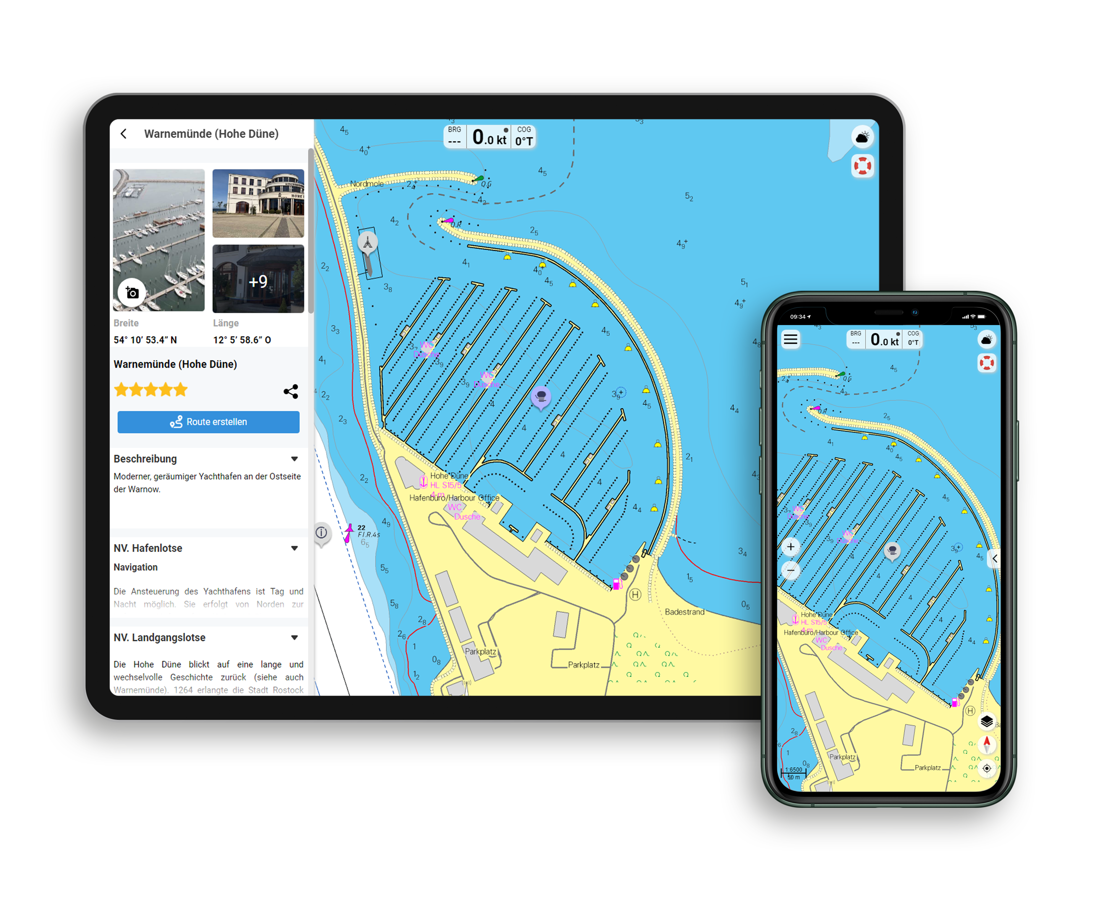
Functions of the NV Charts app
- Flexible autorouting
- Satellite overlay
- Augmented reality
- VMG (Velocity Made Good)
- BoatView harbour guide
- Track recording
- AIS connection and much more.
Charts and measures included
Übersegler
C 1 Alicante to Rome 1 : 1,750,000 , C 2 Côte d'Azur 1 : 350,000
District maps
C 3 Toulon to Cap Camarat 1 : 150.000 , C 4 Cap Camarat to Antibes 1 : 150.000 , C 5 Antibes to Imperia 1 : 150.000 , C 6 Toulon to Presqu'ile de Giens 1 : 50.000 , C 7 Presqu'ile de Giens to Cap Blanc 1 : 50. 000 , C 8 Cap Blanc to Vergeron 1 : 50.000 , C 9 Vergeron to San-Peire-sur-Mer 1 : 50.000 , C10 San-Peire-sur-Mer to Miramar 1 : 50.000 , C11 Miramar to Antibes 1 : 50.000 , C12 Antibes to Cap Ferrat 1 : 50.000 , C13 Cap Ferrat to Menton 1 : 50.000
Detailed maps
C14 Toulon Approach 1 : 18,000 , C15A Toulon 1 : 6,000 , C15B Port de la Seyne 1 : 8,000 , C15C St.- Mandrier-sur-Mer 1 : 6,000 , C15D Port Pin-Rolland 1 : 6,000 , C15E Carqueiranne 1 : 6,000 , C16A Petite Passe 1 : 25,000 , C16B Île de Porquerolles 1 : 12,000 , C16C Hyères-Plage 1 : 12,000 , C16D Les Bormettes 1 : 12. 000 , C16E Île de Port-Cros 1 : 12.000 , C16F Le Lavandou 1 : 12.000 , C16G Cavalaire-sur-Mer 1 : 12.000 , C17A St.Tropez 1 : 12.000 , C17B Port Grimaud 1 : 12.000 , C17C Ste. Maxime 1 : 12.000 , C17D San-Peire-sur-Mer 1 : 12.000 , C17E St. Aygulf 1 : 12,000 , C17F Agay 1 : 12,000 , C17G Frejus 1 : 12,000 , C18 Cannes to Antibes 1 : 30,000 , C19A Port de la Galere to La Napoule 1 : 12,000 , C19B Figueirette-Miramar 1 : 12,000 , C19C Golfe Juan 1 : 12,000 , C19D Cannes 1 : 12. 000 , C20A Port Gallice 1 : 12.000 , C20B Antibes 1 : 12.000 , C20C Marina Baie des Angers 1 : 12.000 , C20D St.Laurent-du-Var 1 : 12.000 , C20E Monaco 1 : 12.000 , C20F Menton 1 : 12.000 , C21 Nice - Cap Ferrat 1 : 15.000
| App License: | NV Charts App |
|---|---|
| Format: | NV Atlas, Gebundener Kartensatz |
With the help of our area preview, you can get an impression of which geographical region the product deals with or which areas a nautical chart covers.
Related products to this item
Reviews
Login

