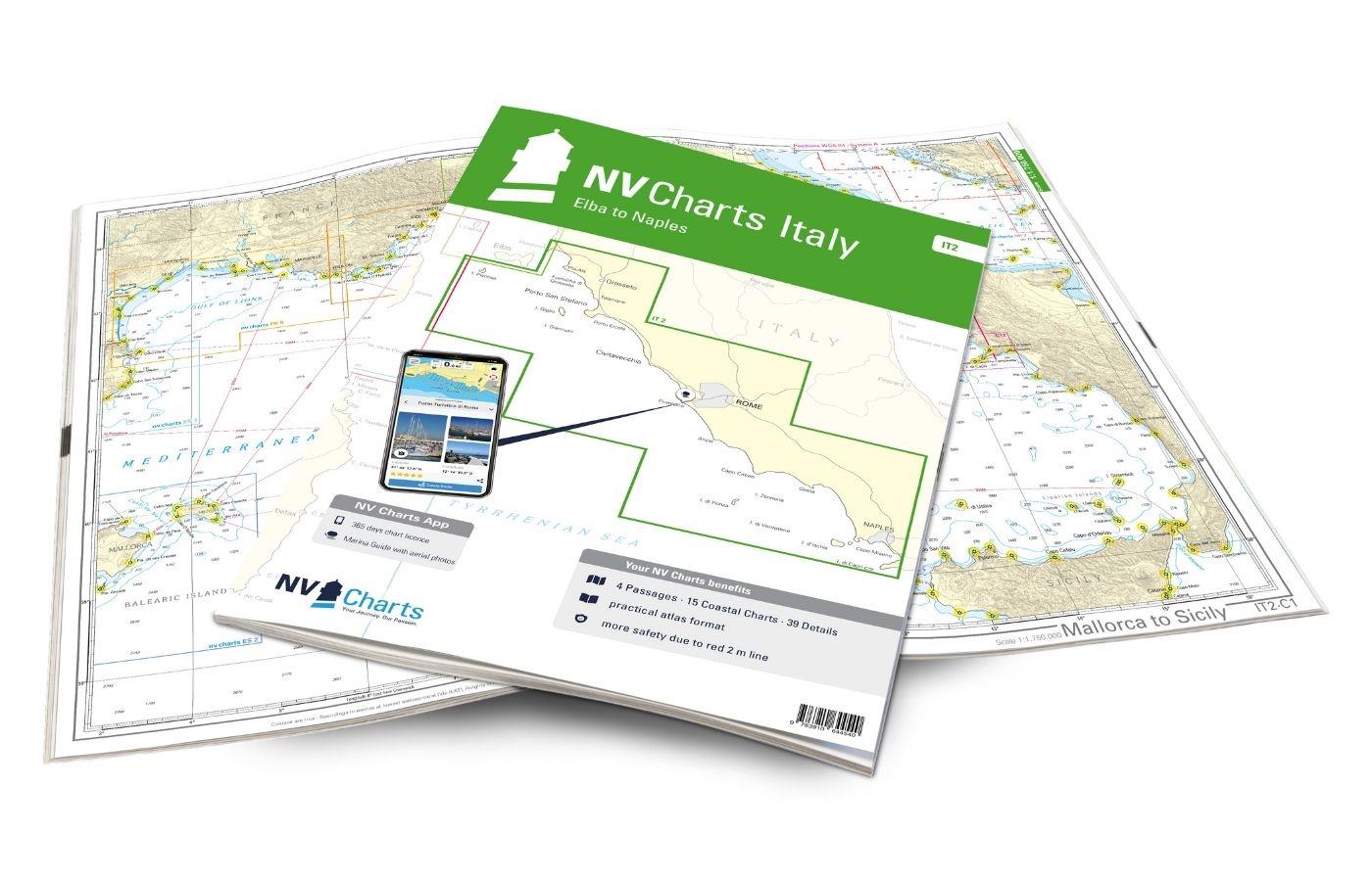
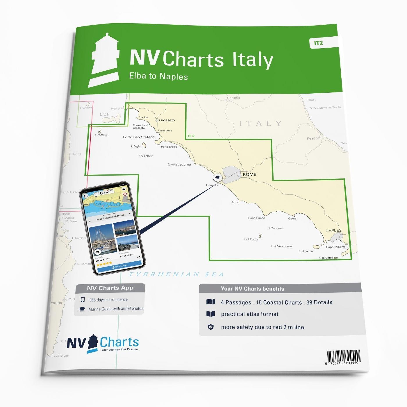
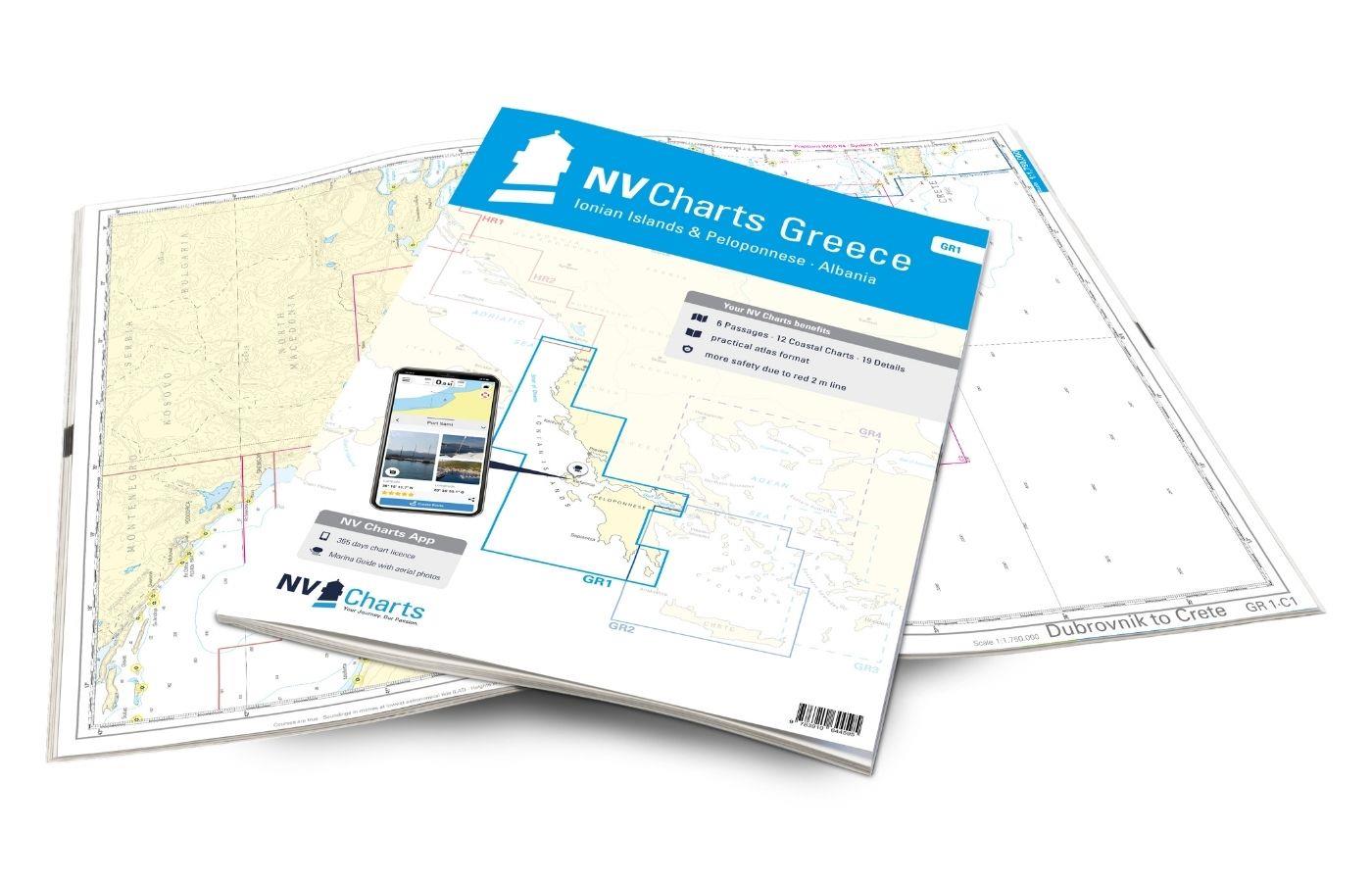
NV Charts Italy IT2 - Elba to Naples
Description
The NV Charts Italy IT2 covers the Italian Mediterranean from Elba to Naples is covered. Thanks to the clear layout, the recreational skipper can quickly find approaches, harbours and anchorages and is informed of navigationally important details that also appear in the NV Charts app. The chart series impresses with its optimised dimensions and balanced sheet sections.
Regions overview
The map set NV Charts Italy IT2 could also be called the Tyrrhenian Sea. It serves all water sports enthusiasts travelling from Corsica or Sardinia towards the coast or those who have already reached Piombino and are on their way to Capri (or vice versa, of course). The Tyrrhenian Sea is characterised by places steeped in history, beautiful nature and smaller islands such as Elba, Giglio, Ponza, Ischia and Capri - definitely worth a trip. The golden sandy beaches, vineyards and olive groves provide a fantastic backdrop. The wind usually reaches the varied coast in a gentle form, making it possible to glide along the water in a relaxed manner. Thanks to the Mediterranean climate, the early and late seasons are also fantastic for diving in this region. The "Argentario Sailing Week", a regatta week where you can enjoy classic yachts, takes place in the town of Porto Stefano in mid-June.
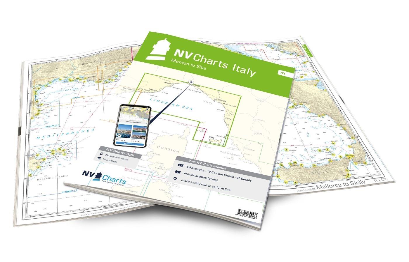
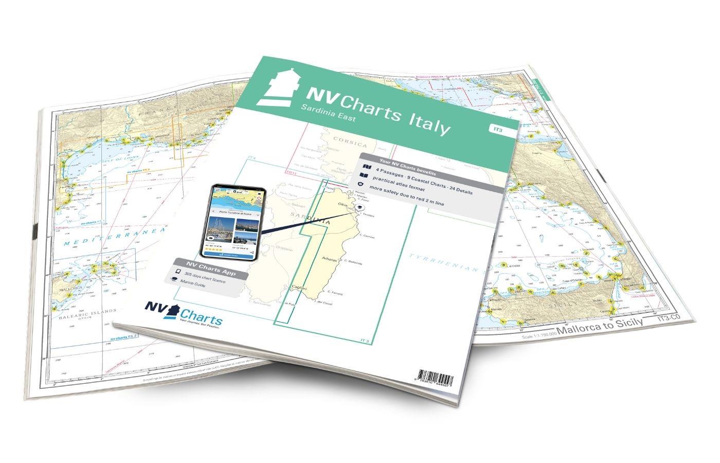
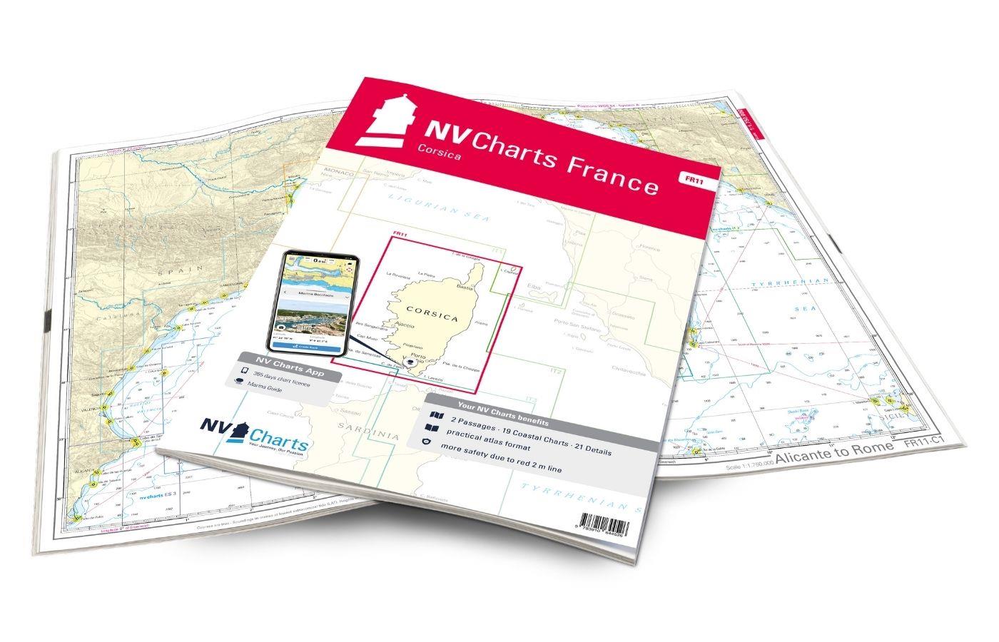
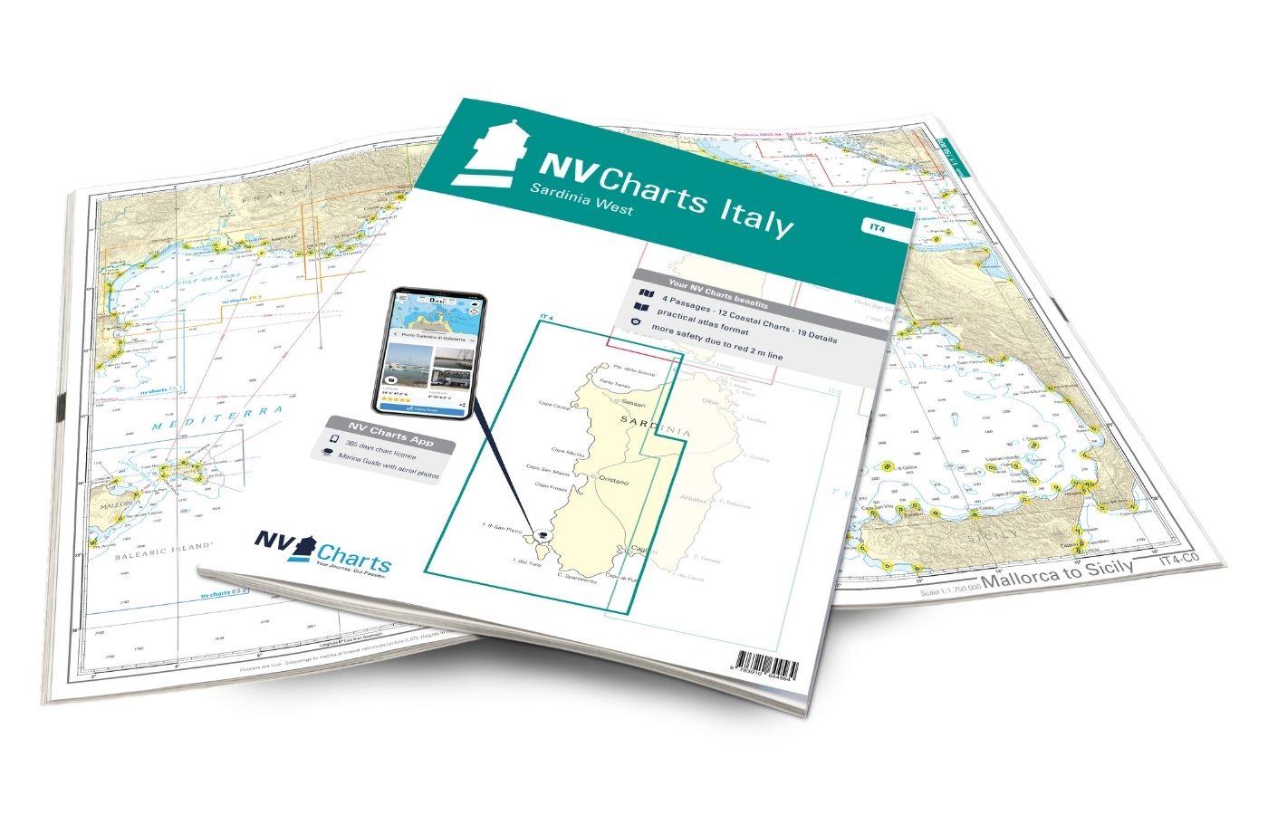
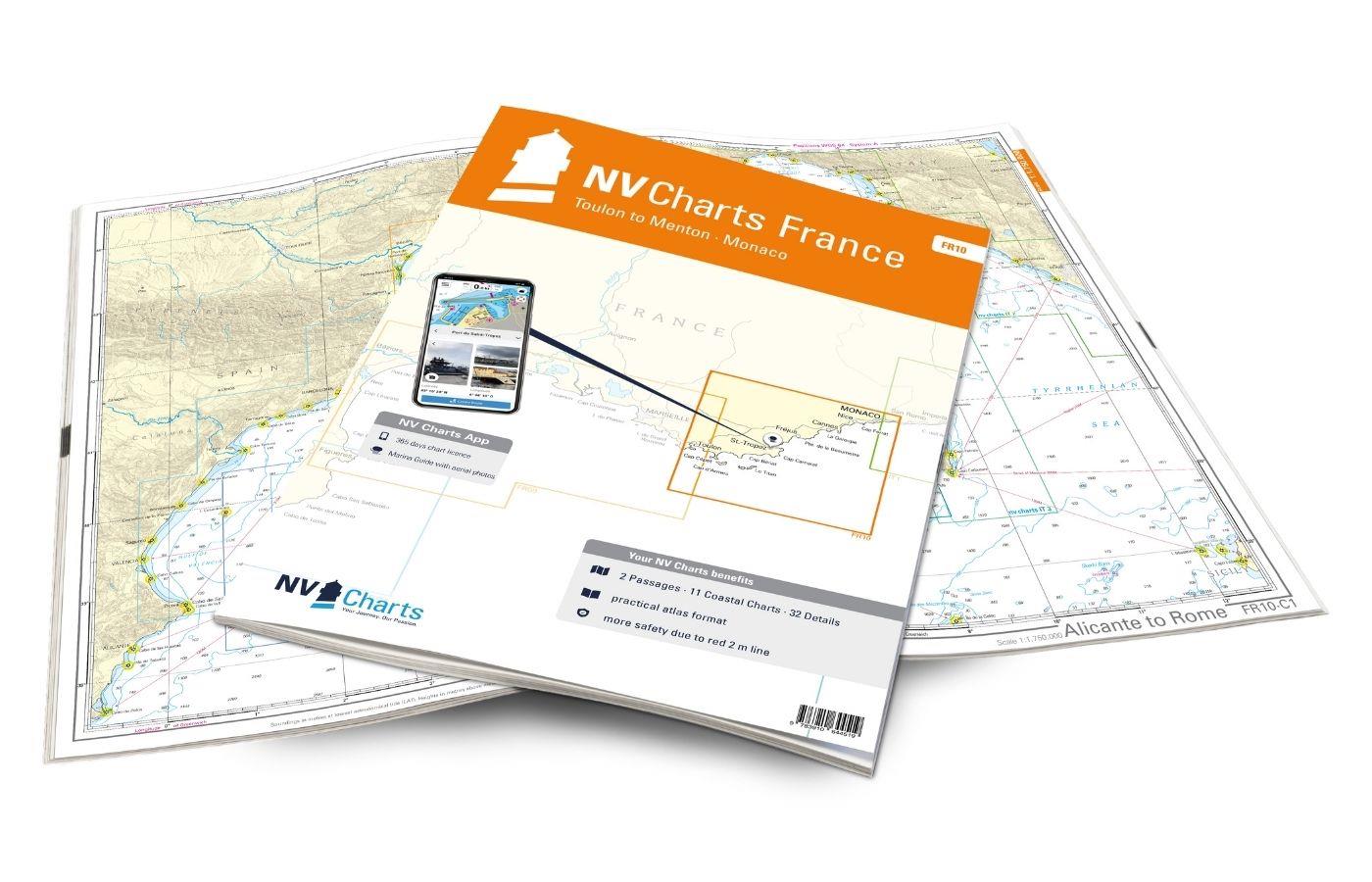
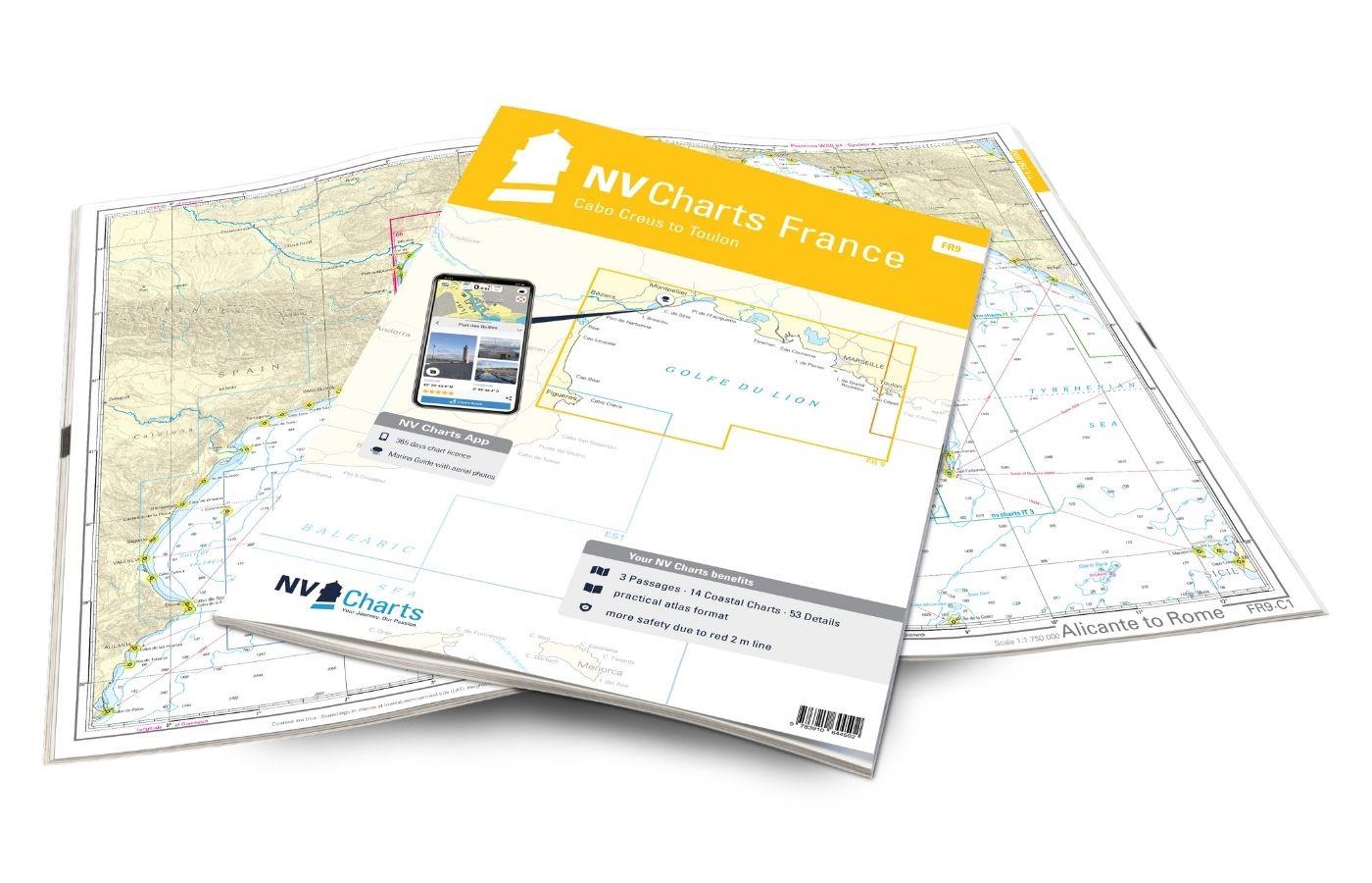
As a further recommendation, you can definitely visit the NV Charts Italy IT3 if you are planning a detour to the east coast of Sardinia, or the NV Charts France FR11 if you are travelling to Corsica. If you are planning to continue your journey to the north coast of Italy, we recommend the NV Charts Italy IT1 . We will be happy to advise you on a suitable door handle. If you want to go further south to the beautiful Amalfi Coast, we have other charts available.
This set of cards includes
- 4 &sailors
- 15 territory cards
- 39 detailed maps
- Digital charts for navigation program and NV Charts App 356-day licence
- Navigation instructions in English and Italian
- Harbour plans paper & digital
- Fulfils all legal requirements for up-to-date paper charts on board
All advantages at a glance
- NV Atlas chart format: Practical, handy atlas format, opened in A2, closed in A3 format, flat staple binding in the centre - makes it easy to work with the course triangle
- NV Charts app: including access code to the digital nautical charts of the purchased area in the NV Charts app with 365-day licence, for offline navigation with the app on iOS, Android, PC, Mac or in the web browser, comprehensive harbour manual
- Extremely detailed: Nautical charts based on data from official surveys and own surveys, particularly detailed outside the main fairways
- Optimised for recreational boating
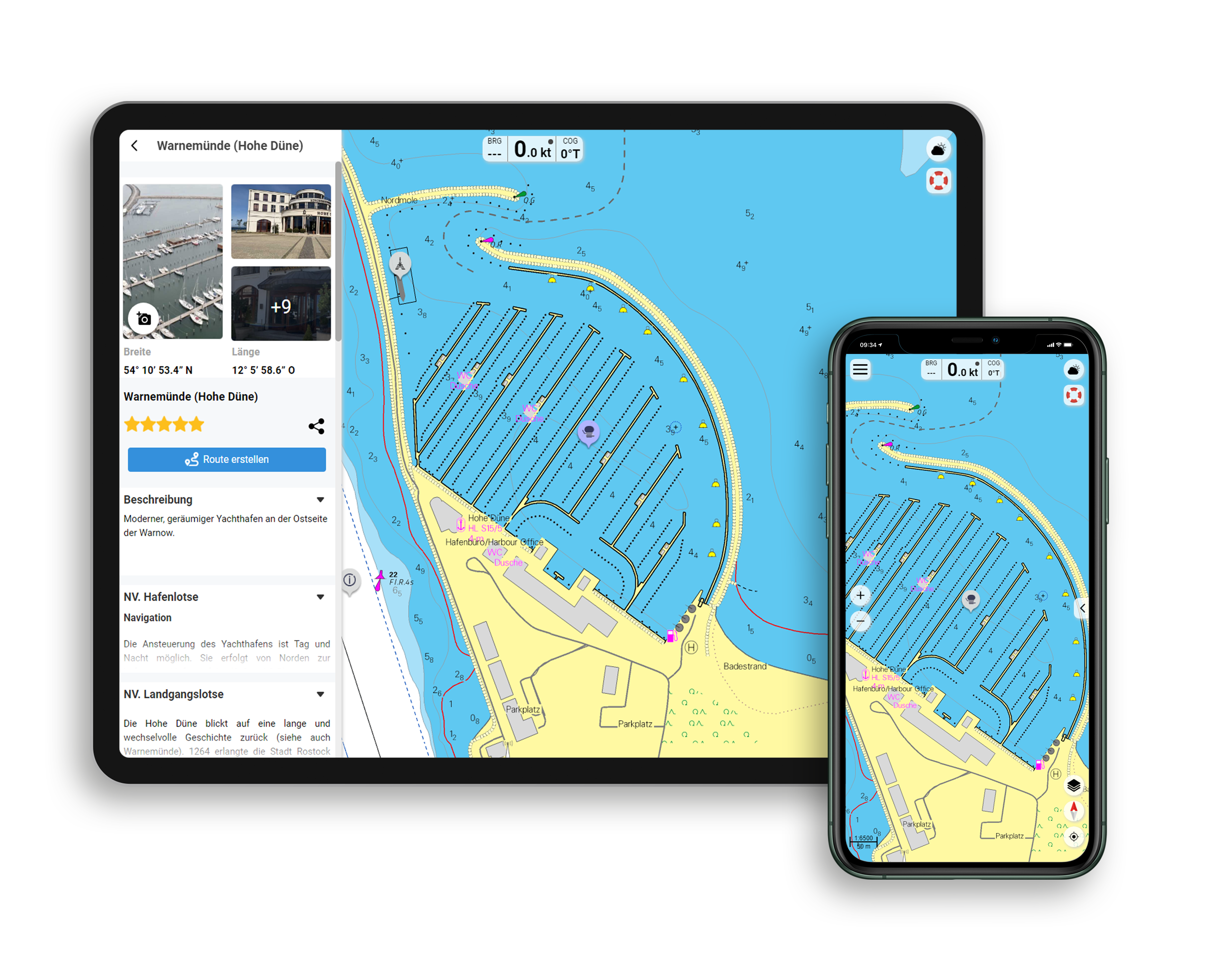
Functions of the NV Charts app
- Flexible autorouting
- Satellite overlay
- Augmented reality
- VMG (Velocity Made Good)
- BoatView harbour guide
- Track recording
- AIS connection and much more.
Charts and measures included
Übersegler
C 1 Mallorca to Sicily 1: 1,750,000 , C 2 Corsica Channel to Mt. Argentario 1: 350,000 , C 3 Mt. Argentario to Capo Circeo 1: 350,000 , C 4 Capo Circeo to Capri 1: 350,000
District maps
C 5 Tuscan Islands South 1: 150,000 , C 6 Pta. Ala to Mt. Argentario 1: 150,000 , C 7 Mt. Argentario to Capo Linaro 1: 150,000 , C 8 Capo Linaro to Rome 1: 150,000 , C 9 Rome to Capo Circeo 1: 150,000 , C10 Capo Circeo 1: 150,000 , C11 Mt. Orlando to Ischia 1: 150,000 , C12 Golfo di Napoli 1: 150,000 , C13 Pta. Ala to Elba 1: 60,000 , C14 Mt. Argentario 1: 60,000 , C15 Mt. Argentario South 1: 60,000 , C16 Approach to Rome 1: 60,000 , C17 Isoli Ponza 1: 60,000 , C18 Ishia 1: 60,000 , C19 Naples - Napoli 1: 60,000 , C20 Capri 1: 60,000
Detailed maps
C21A Punta Ala 1: 12,000 , C21B Castiglione della Pescaia 1: 6,000 , C21C Marina di San Rocco 1: 6,000 , C21D Talamone 1: 6,000 , C21E Porto Santo Stefano 1: 6. 000 , C21F Porto Ercole 1: 12,000 , C22A Giglio Porto 1: 6,000 , C22B Isola di Giannutri 1: 25,000 , C22C Riva di Traiano 1: 6,000 , C22D Santa Marinella 1: 6. 000 , C22E Civitavecchia 1: 12,000 , C23A Fiumicino 1: 10,000 , C23B Fiumara Grande 1: 12,000 , C23C Anzio 1: 12,000 , C23D San Felice Circeo 1: 6,000 , C23E Terracina 1: 6. 000 , C24A Golfo di Gaeta 1: 20,000 , C24B Ponza - Cala dell Acqua 1: 12,000 , C24C Porto di Ponza 1: 10,000 , C24D Ventotene 1: 15,000 , C25A Sant? Angelo 1: 6,000 , C25B Forio 1: 6,000 , C25C Casamicciola 1: 6,000 , C25D Porto d'Ischia 1: 6,000 , C25E Procida - Chiaiolella 1: 6. 000 , C25F Marina di Procida 1: 6,000 , C25G Marina di Torre Fumo 1: 6,000 , C25H Porto Miseno 1: 18,000 , C26A Golfo di Pozzuoli 1: 12,000 , C26B Nisida 1: 12. 000 , C26C Sanazzaro Mergellina 1: 10,000 , C26D Santa Lucia 1: 10,000 , C27A Torre del Greco 1: 6,000 , C27B Torre Annunziata 1: 12,000 , C27C Stabia 1: 12,000 , C27D Marina di Equa 1: 6,000 , C27E Marina di Cassano 1: 6,000 , C27F Sorrento 1: 6,000 , C27G Capri 1: 6,000
| App License: | NV Charts App |
|---|---|
| Format: | NV Atlas, Gebundener Kartensatz |
With the help of our area preview, you can get an impression of which geographical region the product deals with or which areas a nautical chart covers.
Related products to this item
Reviews
Login

