NV Charts Italy IT4 - Sardinia West

App charts included
Edition: 2023
Edition Date: 27.04.2022

€64.99*


Product number: 9974

Description

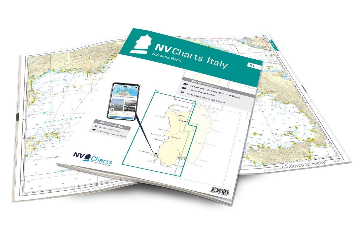
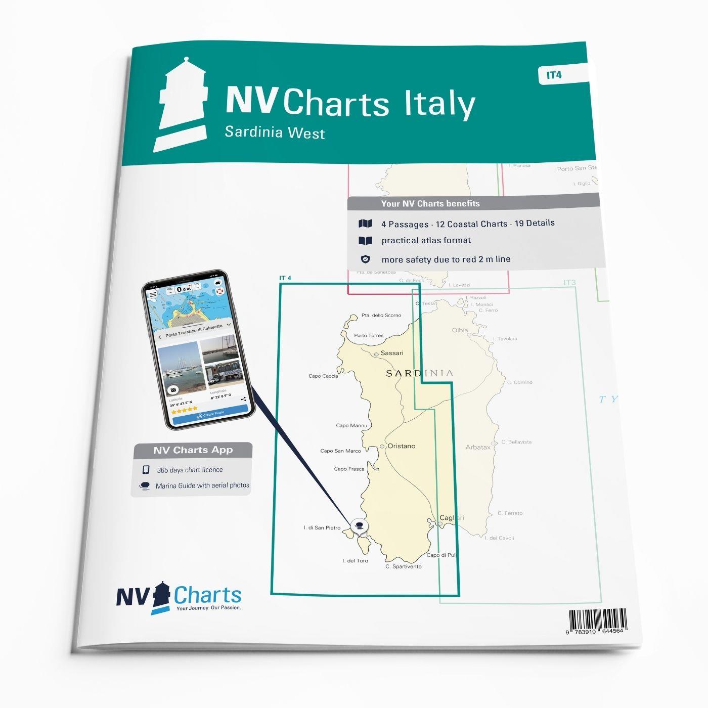
The NV Charts Italy IT4 accompanies you to the west coast of Sardinia . Thanks to the clear layout, recreational boaters can quickly find approaches, harbours and anchorages and are informed of navigationally important details that also appear in the NV Charts app. The chart series impresses with its optimal dimensions and balanced sheet sections.

Regions overview

The Sardinian west coast should not be travelled without the IT4. The map set starts below the town of Costa Paradiso, which bears the same name as the coast. The Gulf of Asinara begins with the beautiful harbour of Porto di Castelsardo. Heading west, it is only a few nautical miles to the enchanting town of Stintino. If you want to circumnavigate the former penal colony of Isola Asinara, simply head through the Passagio dei Fornelli. You should also set course for the beautiful Sinis peninsula. There are hardly any harbours and anchorages on the way, especially as the swell and underwater cliffs make the approach difficult. At Cap San Marco in the Golfo di Orsitano you will find shelter from the westerly wind. The closest destinations are the two charming offshore islands of Isola di San Pietro and Isola di Sant'Antioco. Even in the low season, Sardinia's pleasant climate makes diving very possible.

Another atlas you should read is the NV Charts Italy  IT3 in combination with the NV Charts Italy  IT4 you get the entire island of Sardinia as a map set. But you can also continue your journey to Corsica with the NV Charts France  FR11 is a nice option.

This set of cards includes

  • 4 &sailors
  • 12 territory cards
  • 19 detailed maps
  • Digital charts for navigation programme and NV Charts App 356-day licence
  • Navigation instructions in English and Italian
  • Harbour plans paper & digital
  • Fulfils all legal requirements for up-to-date paper charts on board

All advantages at a glance

  • NV Atlas chart format: Practical, handy atlas format, opened in A2, closed in A3 format, flat stapling in the centre - makes it easy to work with the course triangle
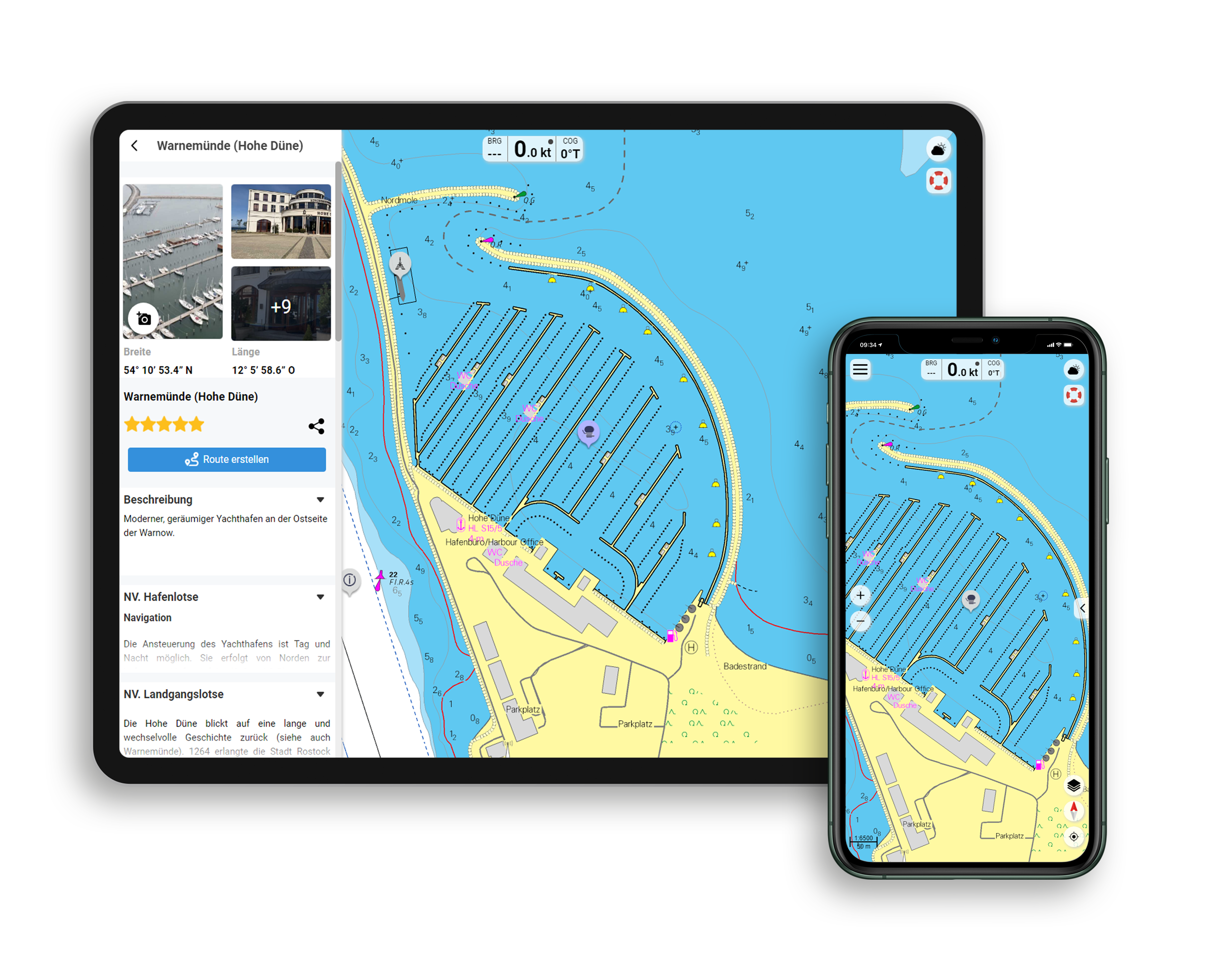
  • NV Charts app: including access code to the digital nautical charts of the purchased area in the NV Charts app with 365-day licence, for offline navigation with the app on iOS, Android, PC, Mac or in the web browser, comprehensive harbour manual
  • Extremely detailed: Nautical charts based on data from official surveys and own surveys, particularly detailed outside the main fairways
  • Optimised for recreational boating

Functions of the NV Charts app

  • Flexible autorouting
  • Satellite overlay
  • Augmented reality
  • VMG (Velocity Made Good)
  • BoatView harbour guide
  • Track recording
  • AIS connection and much more.
Find out more now

Charts and measures included

Übersegler

C 0 Mallorca to Sicily 1: 1,750,000 , C 1 Sardinia 1: 650,000 , C 2 Sardinia North 1: 350,000 , C 3 Sardinia Southwest 1: 350,000 , C22 Mediterranean Sea 1: 6,000,000

Area maps

C 4 Golfo dell' Asinara 1: 150.000 , C 5 Capo dell' Argentiera to Capo Mannu 1: 150.000 , C 6 Capo Mannu to Pta.Nai - Oristano 1: 150.000 , C 7 Pta.Nai to Capo Spartivento 1: 150.000 , C 8 Capo Spartivento to Capo Ferrato 1: 150.000 , C 9 Golfo dell' Asinara - Porto Torres 1: 60. 000 , C10 Golfo di Oristano 1: 75,000 , C11 Canale di San Pietro 1: 60,000 , C12 Golfo di Palmas to Capo Teulada 1: 60,000 , C13 Capo Teulada to Capo Spartivento 1: 60,000 , C14 Golfo di Cagliari 1: 60,000 , C15 A Isola Asinari 1: 60,000

Detailed maps

C15B Passaggio dei Fornelli 1: 25,000 , C15C Stintino 1: 10,000 , C16A Isola Rossa 1: 6,000 , C16B Castelsardo 1: 12,000 , C16C Porto Torres 1: 25,000 , C16D Fertilia 1: 6,000 , C16E Alghero 1: 12,000 , C16F Bosa Marina 1: 12,000 , C17 Rada di Alghero 1: 30,000 , C18A Oristano 1: 25. 000 , C18B Portovesme 1: 12,000 , C18C Carloforte 1: 12,000 , C19 Canale di San Pietro 1: 30,000 , C20A San Antioco 1: 12,000 , C20B Calasetta 1: 12,000 , C20C Perde'e Sali 1: 6,000 , C20D Marina di Teulada 1: 12,000 , C20E Capo Malfatano 1: 12,000 , C21 Cagliari 1: 20,000
Legend, General Notes p.23

App License: NV Charts App
Format: NV Atlas, Gebundener Kartensatz
Area preview

With the help of our area preview, you can get an impression of which geographical region the product deals with or which areas a nautical chart covers.

Related products to this item

Related products to this item

Gebietsvorschau für NV Charts Italy IT3: Sardinia East öffnen
NV Charts Italy IT3: Sardinia East
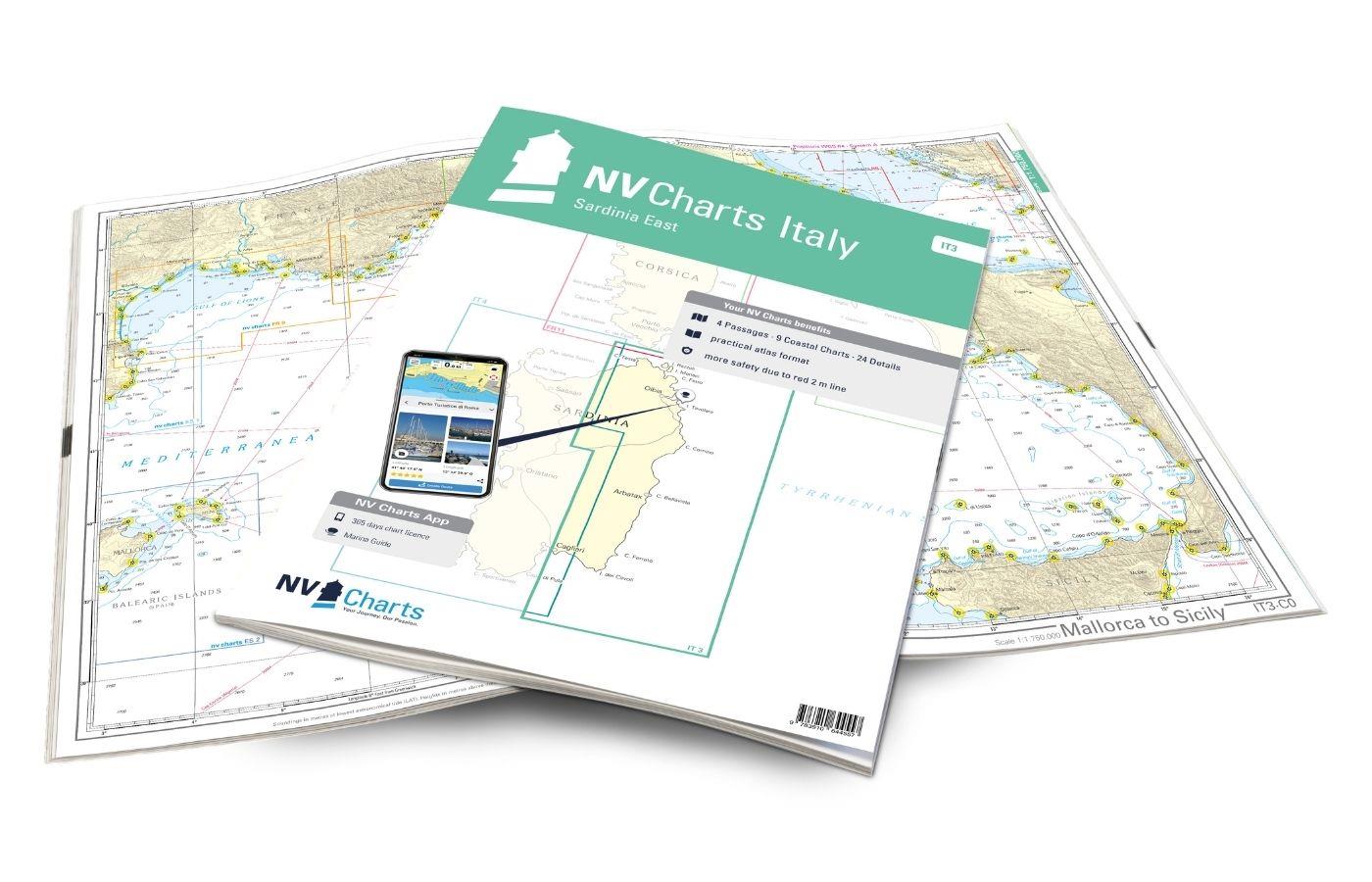
The NV Charts Atlas IT3 accompanies you on the east coast of Sardinia . Thanks to the clear layout, recreational boaters can quickly find approaches, harbours and anchorages and are informed of import

€64.99*
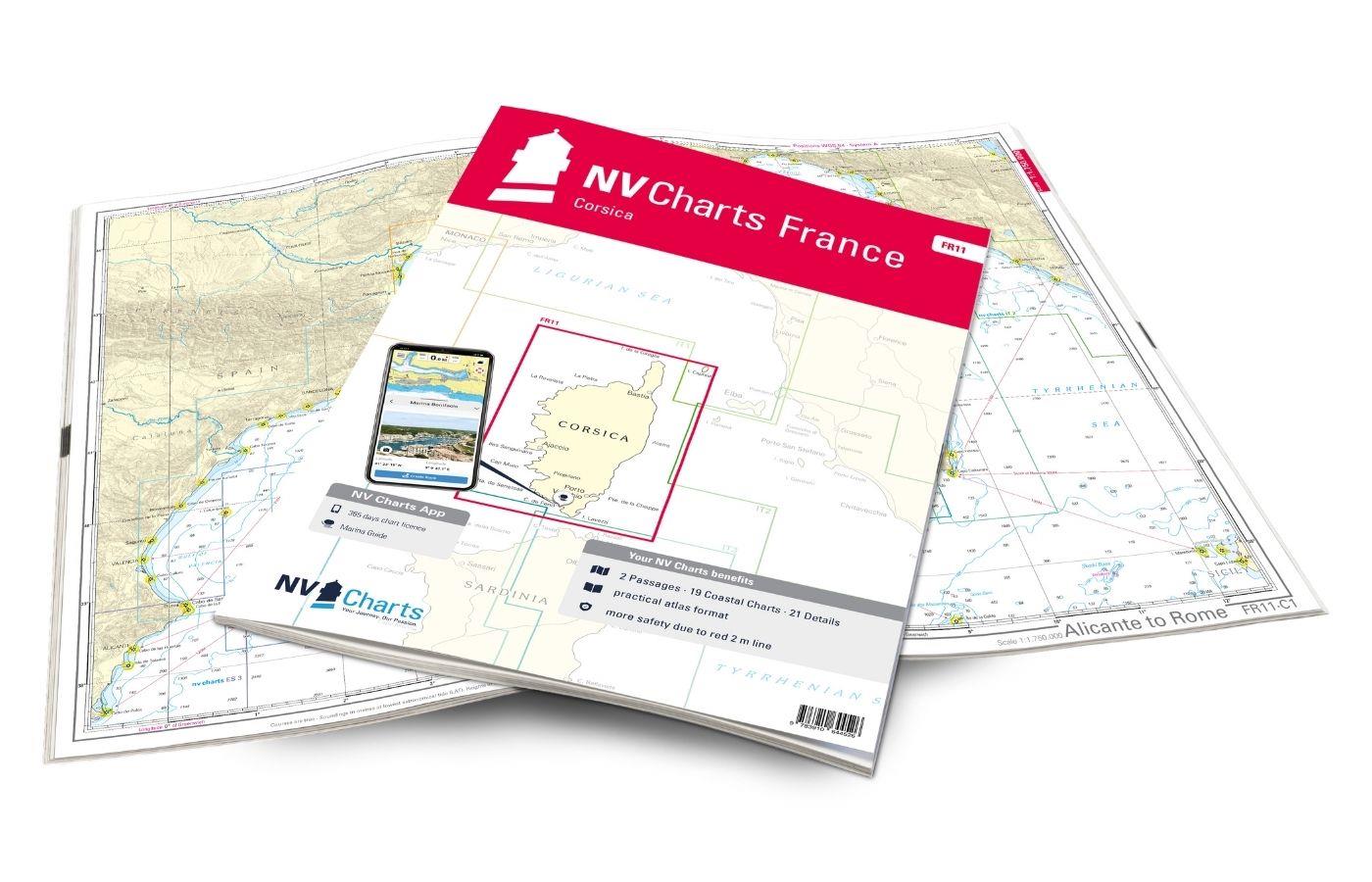
Gebietsvorschau für NV Charts France FR11 - Corsica öffnen
NV Charts France FR11 - Corsica
The NV Charts Atlas FR11 covers the beautiful island of Corsica completely. Thanks to the clear layout, recreational boaters can quickly find approaches, harbours and anchorages and are informed of na

€64.99*
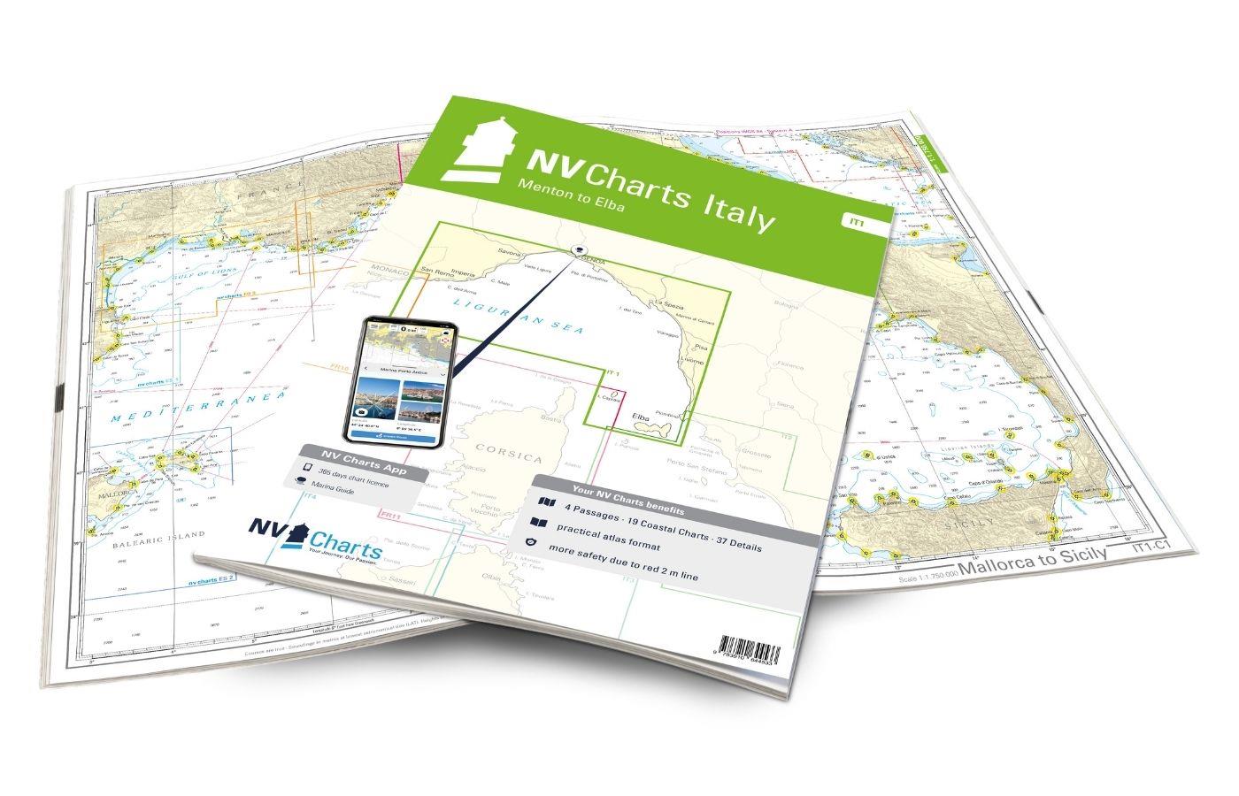
Gebietsvorschau für NV Charts Italy IT1 - Menton to Elba öffnen
NV Charts Italy IT1 - Menton to Elba
The NV Charts Italy Atlas IT1 covers the dreamlike Italian Riviera from Menton to Elba . Thanks to the clear layout, the recreational skipper can quickly find approaches, harbours and anchorages and i

€64.99*
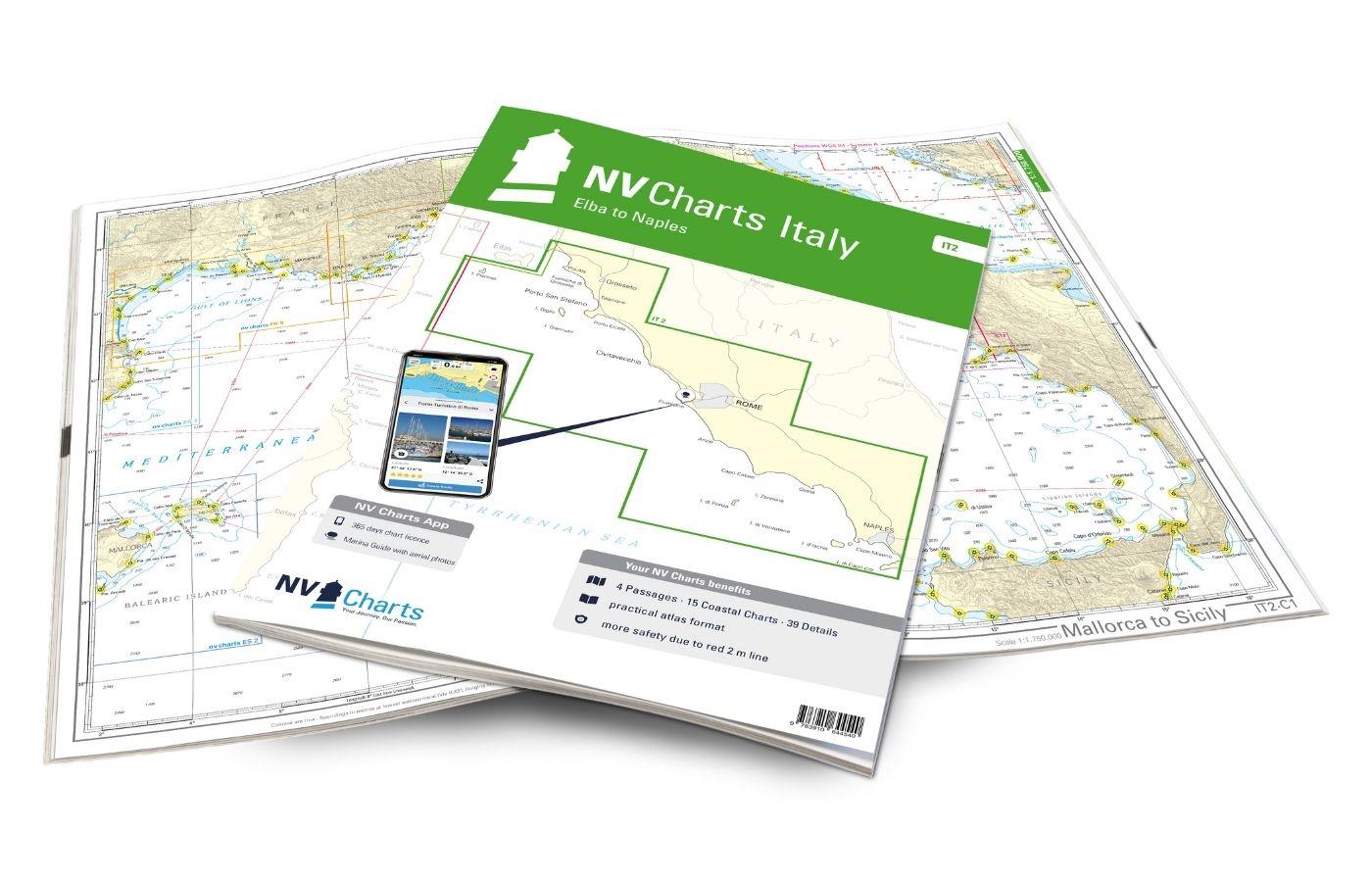
Gebietsvorschau für NV Charts Italy IT2 - Elba to Naples öffnen
NV Charts Italy IT2 - Elba to Naples
The NV Charts Italy IT2 covers the Italian Mediterranean from Elba to Naples is covered. Thanks to the clear layout, the recreational skipper can quickly find approaches, harbours and anchor

€64.99*
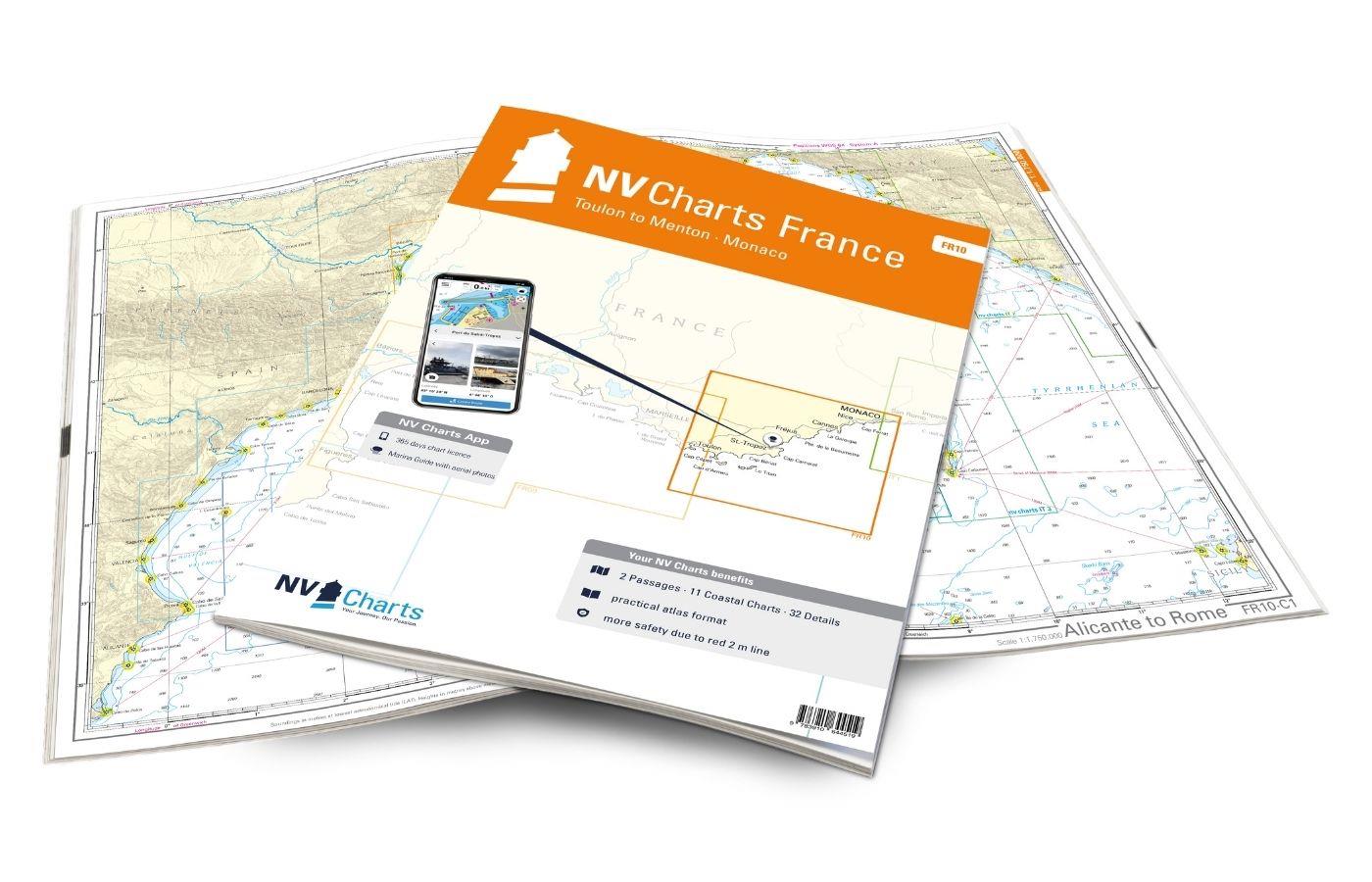
Gebietsvorschau für NV Charts France FR10 - Toulon to Menton, Monaco öffnen
NV Charts France FR10 - Toulon to Menton, Monaco
The NV Charts Atlas FR10 is your reliable partner for the Côte d'Azur . Thanks to the clear layout, the sports skipper can quickly find approaches, harbours and anchorages and is informed of

€64.99*
Gebietsvorschau für NV Charts Spain ES2 Balearic Islands · Ibiza to Menorca öffnen
NV Charts Spain ES2 Balearic Islands · Ibiza to Menorca
With the NV Charts Atlas ES2 you have the perfect companion for the Balearic Islands. Thanks to the clear layout, the recreational skipper can quickly find approaches, harbours and anchorages and is i

€64.99*

Reviews

0 of 0 reviews

Leave a review!

Share your experiences with other customers.


Gebietsvorschau für Carta Della Laguna Di Venezia öffnen
Carta Della Laguna Di Venezia
Carta Della Laguna Di Venezia by Pietro MariuttiVery clearly laid out and informative nautical chart for the Venice Lagoon and our recommendation for your trip.The map of the Venice Lagoon, scale 1:25

€29.90*
Gebietsvorschau für NV Charts Italy IT1 - Menton to Elba öffnen
NV Charts Italy IT1 - Menton to Elba
The NV Charts Italy Atlas IT1 covers the dreamlike Italian Riviera from Menton to Elba . Thanks to the clear layout, the recreational skipper can quickly find approaches, harbours and anchorages and i

€64.99*
Gebietsvorschau für NV Charts Pilot 3 Mediterranean East, Sicily to Greece Adriatic Sea öffnen
NV Charts Pilot 3 Mediterranean East, Sicily to Greece Adriatic Sea
The Pilot 3 is suitable as a planning chart for cruises in the eastern part of the Mediterranean. The coasts of Croatia and Greece are completely covered. In addition, the east coast of Italy is compl

€24.99*
Gebietsvorschau für NV Charts France FR11 - Corsica öffnen
NV Charts France FR11 - Corsica
The NV Charts Atlas FR11 covers the beautiful island of Corsica completely. Thanks to the clear layout, recreational boaters can quickly find approaches, harbours and anchorages and are informed of na

€64.99*
Gebietsvorschau für LAG 01 Golfo di Trieste öffnen
LAG 01 Golfo di Trieste
Golfo di Trieste. Maps of the lagoons between Grado and the Po Delta folded to a handy size (approx. 17x25 cm). The maps include the rivers canals ports and other information.

€9.80*
Gebietsvorschau für NV Charts Italy IT2 - Elba to Naples öffnen
NV Charts Italy IT2 - Elba to Naples
The NV Charts Italy IT2 covers the Italian Mediterranean from Elba to Naples is covered. Thanks to the clear layout, the recreational skipper can quickly find approaches, harbours and anchor

€64.99*
Gebietsvorschau für NV Charts Pilot 4 - Mediterranean West, Gibraltar to Sicily Adriatic Sea öffnen
NV Charts Pilot 4 - Mediterranean West, Gibraltar to Sicily Adriatic Sea
The Pilot 4 is ideal as a planning chart for traveling the western Mediterranean. The east coast of Spain, the south coast of France and Italy are covered in this oversailor. You can also find the Bal

€24.99*
Gebietsvorschau für Mediterranean France and Corsica Pilot öffnen
-5 %
Mediterranean France and Corsica Pilot
This cruising guide is a helpful travel companion for the French Mediterranean coast and the island of Corsica. It covers the long coastline stretching from Spain and the edge of the Pyrenees to the A

€56.90* €59.90* (5.01% saved)
Gebietsvorschau für NV Charts Italy IT3: Sardinia East öffnen
NV Charts Italy IT3: Sardinia East
The NV Charts Atlas IT3 accompanies you on the east coast of Sardinia . Thanks to the clear layout, recreational boaters can quickly find approaches, harbours and anchorages and are informed of import

€64.99*