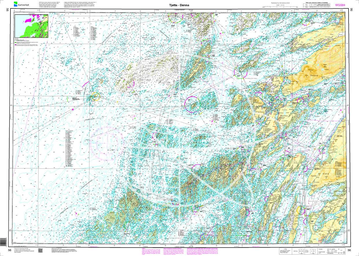
Norwegen N 56 Atlantik von Tjøtta bis Dønna

Chart ID: NOR 56
Scale: 1:50.000

€27.70*


Product number: 20557

Description

The Sea Chart N 56 covers the coast and offshore islands on the northern Norwegian coast from Tjøtta to Dønna. Detailed nautical chart at a scale of 1:50000. As an additional chart we recommend N 57 (Vefsen og Leirfjorden). We print the charts on customer request from the current data sets of the Norwegian Bureau of Hydrography using the print-on-demand (POD) method.


POD charts are excluded from exchange.


The official Norwegian nautical charts are not only suitable for water sports enthusiasts and anglers for navigation but are also very popular with cruise tourists.

For more information on the official Norwegian nautical charts printed by HanseNautic using the print-on-demand (POD) process please click here

Region: Europa, Atlantik, Norwegen
Size: Einzelkarte Papier
Area preview

With the help of our area preview, you can get an impression of which geographical region the product deals with or which areas a nautical chart covers.

Related products to this item

Related products to this item

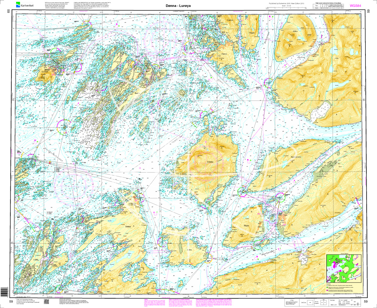
Gebietsvorschau für Norwegen N 59 Atlantik von Dønna bis Lurøya öffnen
Norwegen N 59 Atlantik von Dønna bis Lurøya
The map N 59 includes the island groups Dønna to Lurøya off the Norwegian coast. The detailed scale is 1:50000. As an additional map we recommend N 60 (Ranfjorden). We prin

€27.70*
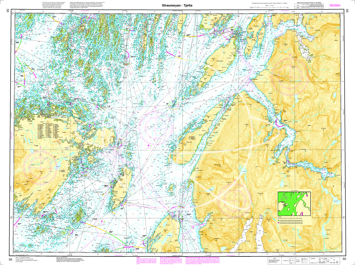
Gebietsvorschau für Norwegen N 55 Atlantik Stroemøoeyan - Tjoetta öffnen
Norwegen N 55 Atlantik Stroemøoeyan - Tjoetta
The Map N 50 shows the waterways of Stroemøoeyan - Tjoetta. The detailed scale is 1:50000. As an additional map we recommend N 57 (Vefsen og Leirfjorden). We print the maps

€27.70*
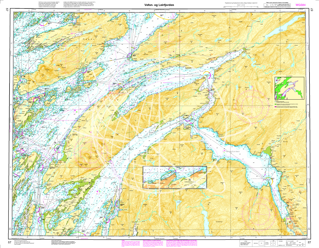
Gebietsvorschau für Norwegen N 57 Atlantik Vefsen und Leirfjorden öffnen
Norwegen N 57 Atlantik Vefsen und Leirfjorden
The Card N 57 covers the northern Norwegian coast from Vefsen and  Leirfjord. The detailed scale is 1:50000. As an additional map we recommend N 56 (Tjøtta - Dønna) We

€27.70*
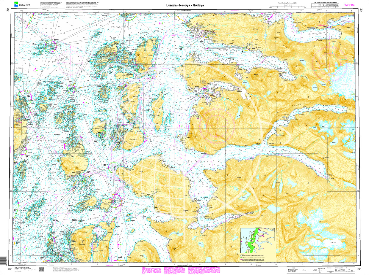
Gebietsvorschau für Norwegen N 62 Atlantik Luroeya - Nesoeya - Roedoeya öffnen
Norwegen N 62 Atlantik Luroeya - Nesoeya - Roedoeya
The Map N 62 shows the western islands of Luroeya - Nesoeya - Roedoeya. The detailed scale is 1:50.000. As an additional map we recommend N 61 (Træna Nesøya Myken). We print th

€27.70*
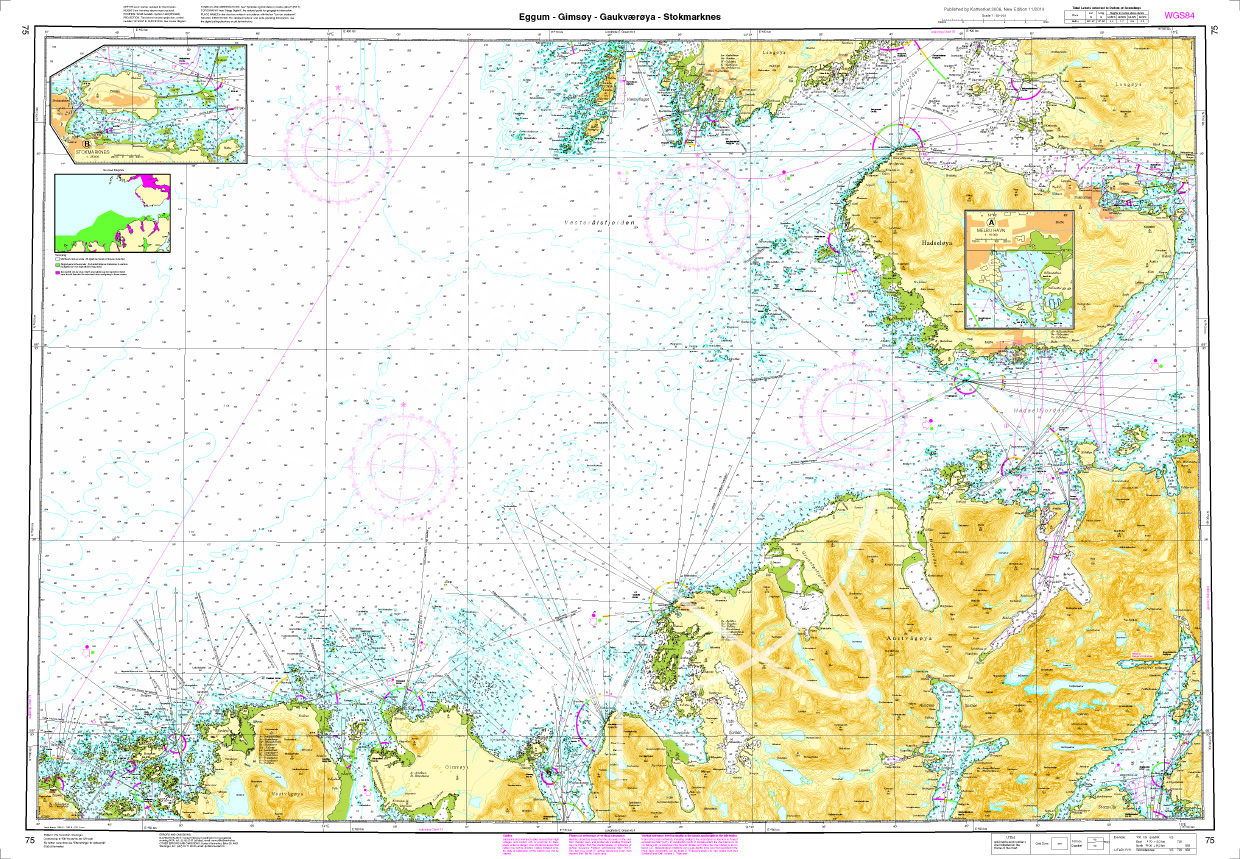
Gebietsvorschau für Norwegen N 75 Lofoten Eggum - Gimsoey - Gaukvaeroey - Stokmarknes öffnen
Norwegen N 75 Lofoten Eggum - Gimsoey - Gaukvaeroey - Stokmarknes
The Map N 75 shows the west side of Lofoten with Eggum - Gimsoey - Gaukvaeroey - Stokmarknes. The detailed scale is 1:50.000. As an additional map we recommend N 76 (Vesterålen/Sto

€27.70*
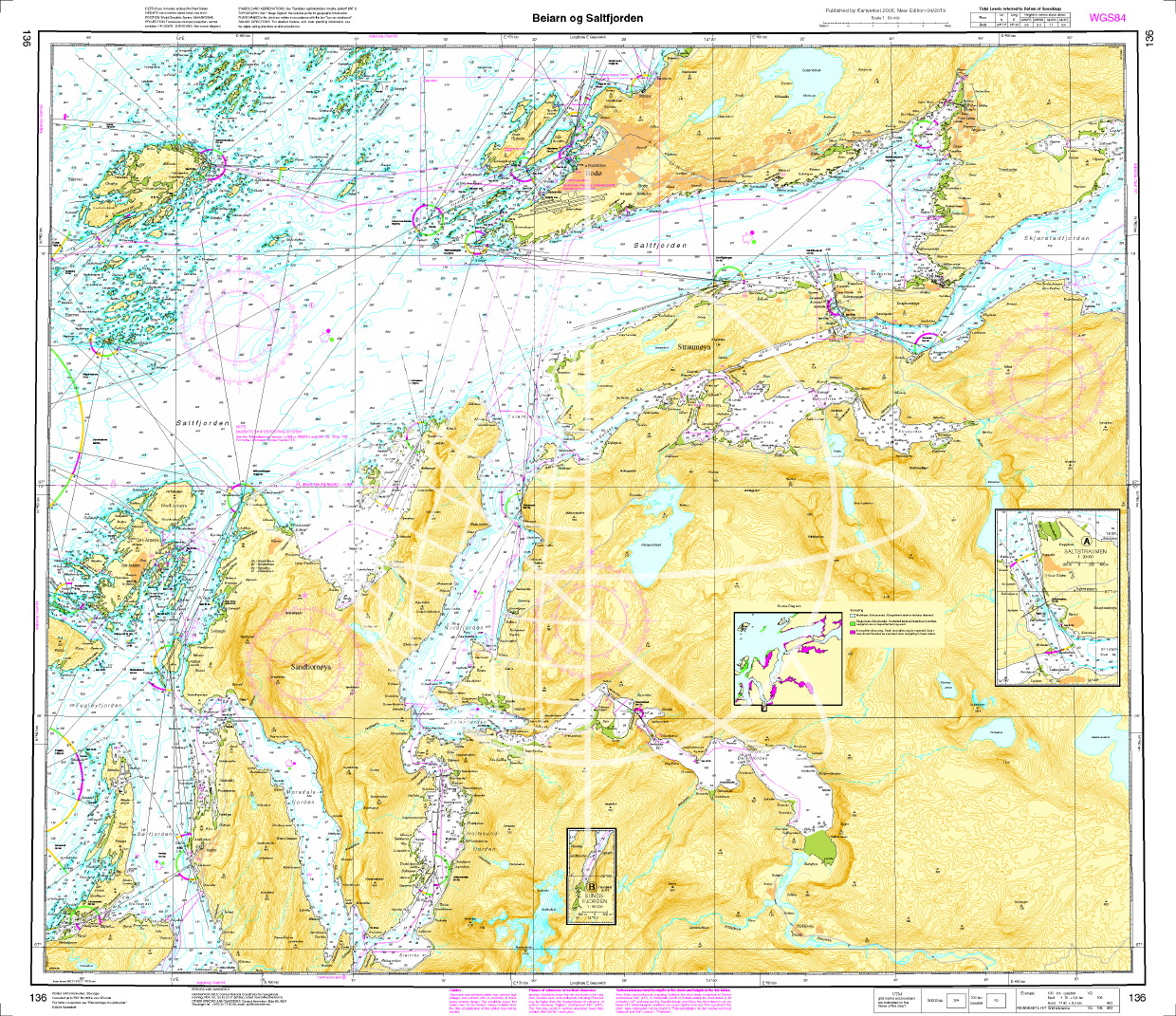
Gebietsvorschau für Norwegen N 136 Atlantik Beiarn - Saltfjorden. öffnen
Norwegen N 136 Atlantik Beiarn - Saltfjorden.
The Map N 136 shows the waterways from Beiarn to Saltfjorden below Bodø.The detailed scale is 1:50.000. As an additional map we recommend N 137 (Skjerstadfjorden - Rognan).&nbs

€27.70*

Last viewed products

Last viewed products

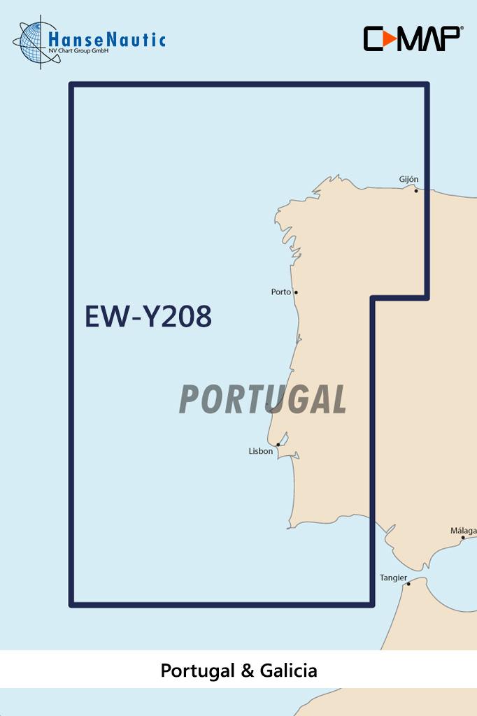
Gebietsvorschau für C-MAP Discover Portugal u. Galizien EW-Y208 öffnen
-10 %
C-MAP Discover Portugal u. Galizien EW-Y208
Electronic nautical chart for the Portuguese Atlantic coast and the west coast of Spain for navigation with modern chart plotters from Lowrance Simrad or B&GFurther development of C-MAP a modern v

€138.00* €154.00* (10.39% saved)
Gebietsvorschau für ADMIRALTY NP57A Norway Pilot Vol 2A  öffnen
ADMIRALTY NP57A Norway Pilot Vol 2A
Official Sailing Manual ADMIRALTY Sailing Directions NorwayIncludes the west coast of Norway. From Jærens Rev do StadlandetNP57a is part of the worldwide series of books published by the United Kingdo

€109.90*
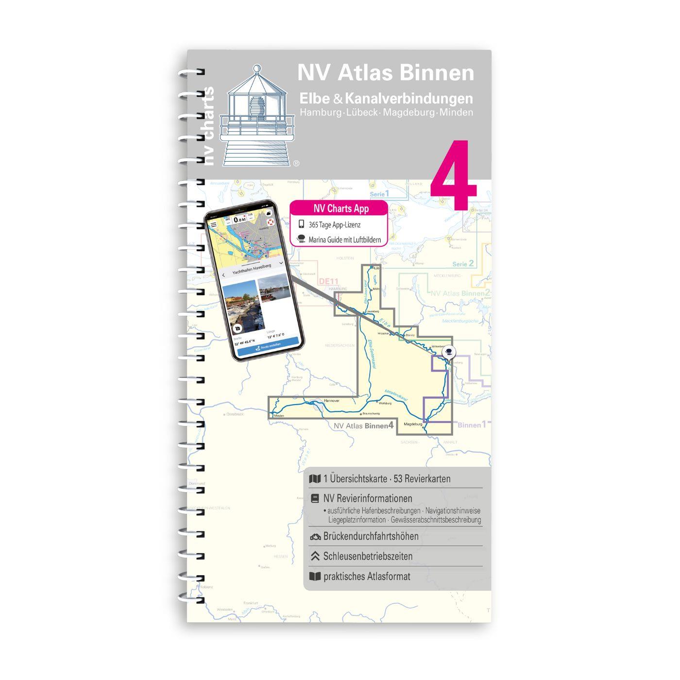
Gebietsvorschau für NV Binnen 4 Kombipack Elbe & Kanalverbindungen öffnen
NV Binnen 4 Kombipack Elbe & Kanalverbindungen
The most exciting waterways can be found in Inland Volume 4 of NV Charts. The Elbe the Elbe-Lübeck Canal the Mittelland Canal and the Elbe-Seiten Canal are all highly frequented waterways with plenty

€44.99*
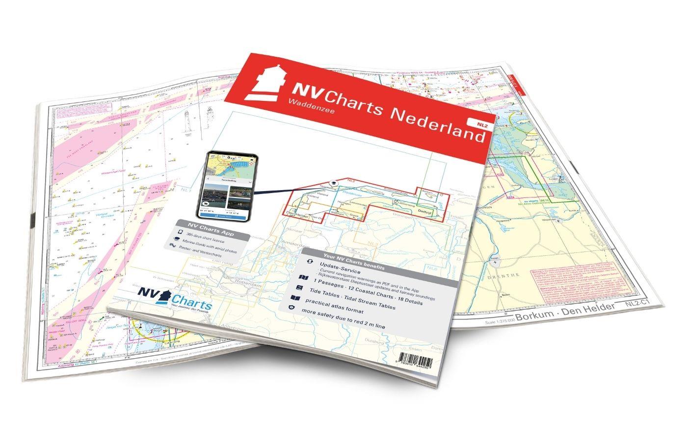
Gebietsvorschau für NV Charts Nederland NL2 - Waddenzee öffnen
NV Charts Nederland NL2 - Waddenzee
The NV Atlas NL2 is the ideal chart to explore the Waddenzee region.The chart series, specially designed for recreational boating, contains the nautical charts in various sizes, as well as all harbor

Variants from €58.49*
€64.99*
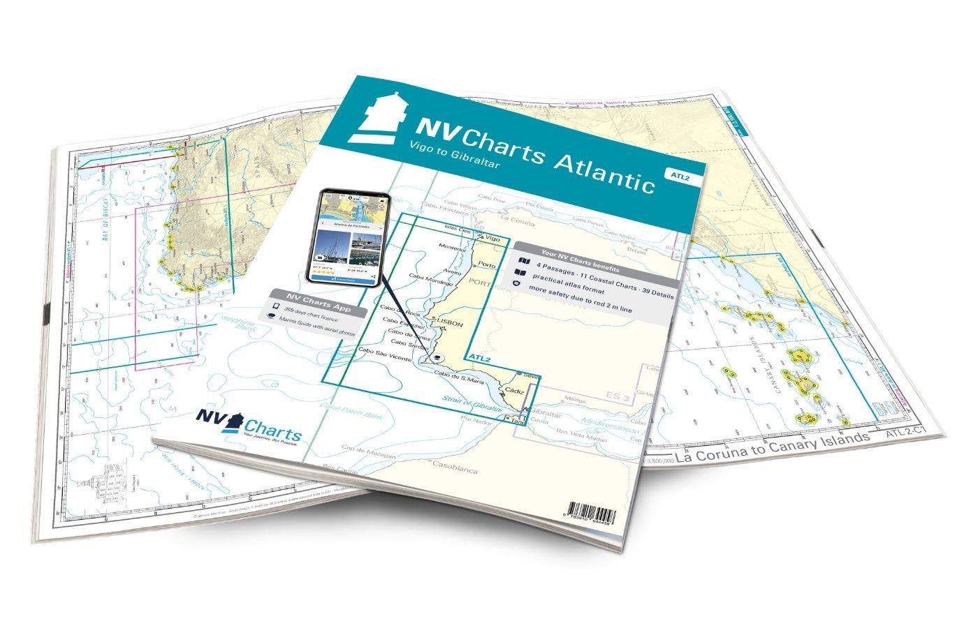
Gebietsvorschau für NV Charts Atlantic ATL2 - Vigo to Gibraltar öffnen
NV Charts Atlantic ATL2 - Vigo to Gibraltar
With the NV Charts Atlantic Atlas  ATL2 you can navigate reliably from the Spanish Atlantic coast to the Strait of Gibraltar. Thanks to the clear layout, the recreational skipper can quickly

€74.99*
Gebietsvorschau für NV Binnen 3 Kombipack Nördliche Oder & Peene öffnen
NV Binnen 3 Kombipack Nördliche Oder & Peene
Whoever wants to travel along the German-Polish border down the Oder to historic Szczecin should set out on the journey with Inland Volume 3 of NV Charts. From Eisenhüttenstadt downstream to the Szcze

€44.99*

Reviews

0 of 0 reviews

Leave a review!

Share your experiences with other customers.


Gebietsvorschau für NV Charts Norway NO4 - Sørlandet Vest - Flekkefjord til Kristiansand öffnen
NV Charts Norway NO4 - Sørlandet Vest - Flekkefjord til Kristiansand
If you want to travel from North Jutland directly to the south-west coast of Norway, you should take the NV Charts Norway NO4 on board. The NV Charts for the Norwegian coast are based o

€74.99*
Gebietsvorschau für NV Charts Norway NO5 - Sørvestlandet Sør - Flekkefjord til Stavanger öffnen
NV Charts Norway NO5 - Sørvestlandet Sør - Flekkefjord til Stavanger
Your companion for the southwest coast of Norway: The NV Charts Norway NO5 . NV Charts for the Norwegian coast are based on data from the Norwegian Hydrographic Office and also include the h

€74.99*