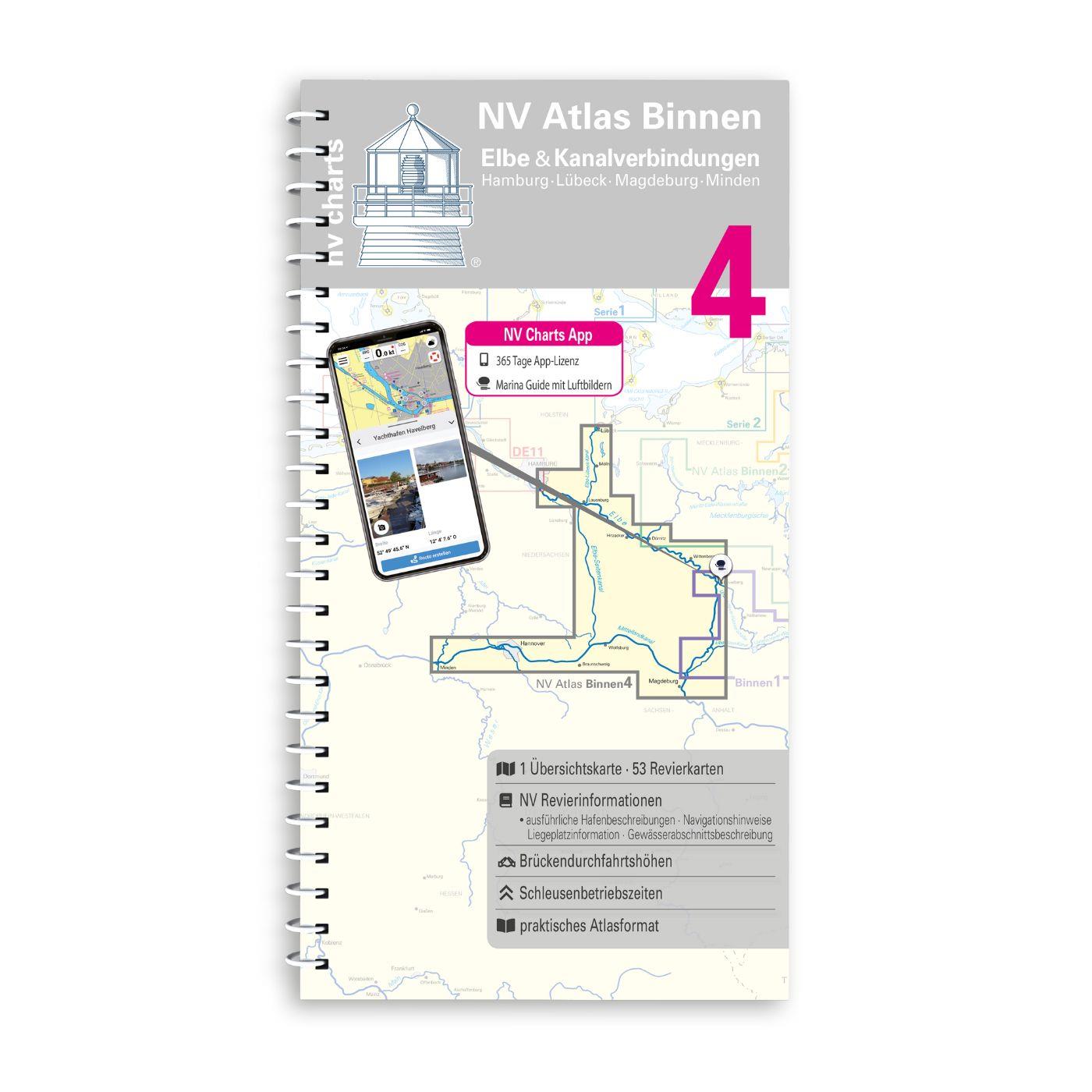
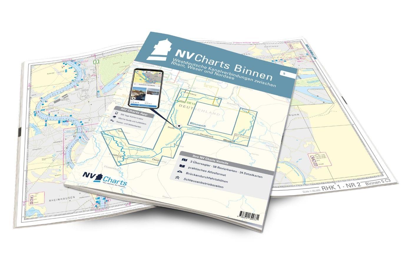
NV Binnen 4 Kombipack Elbe & Kanalverbindungen
Description
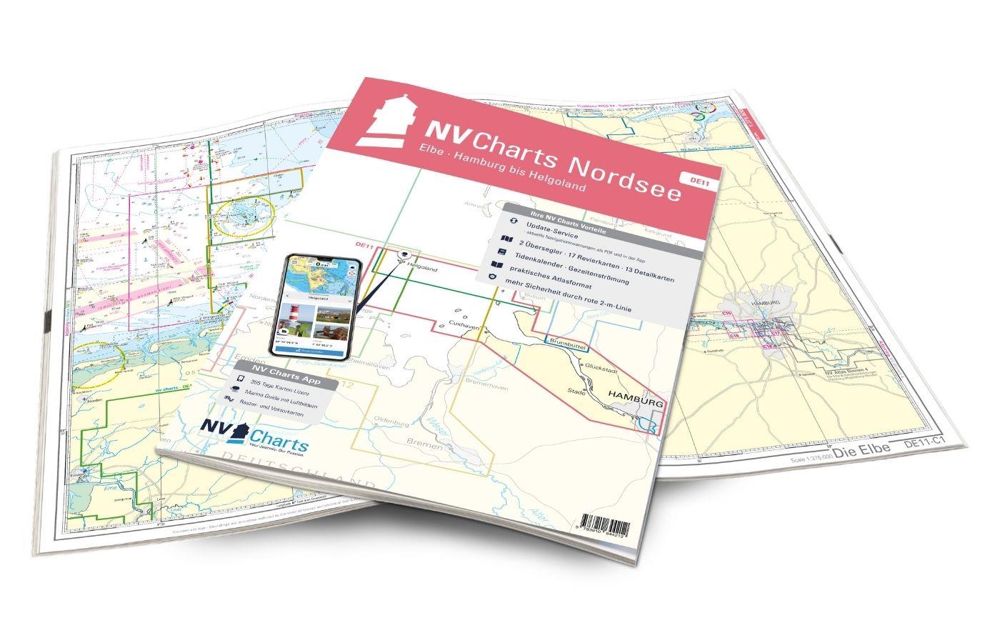
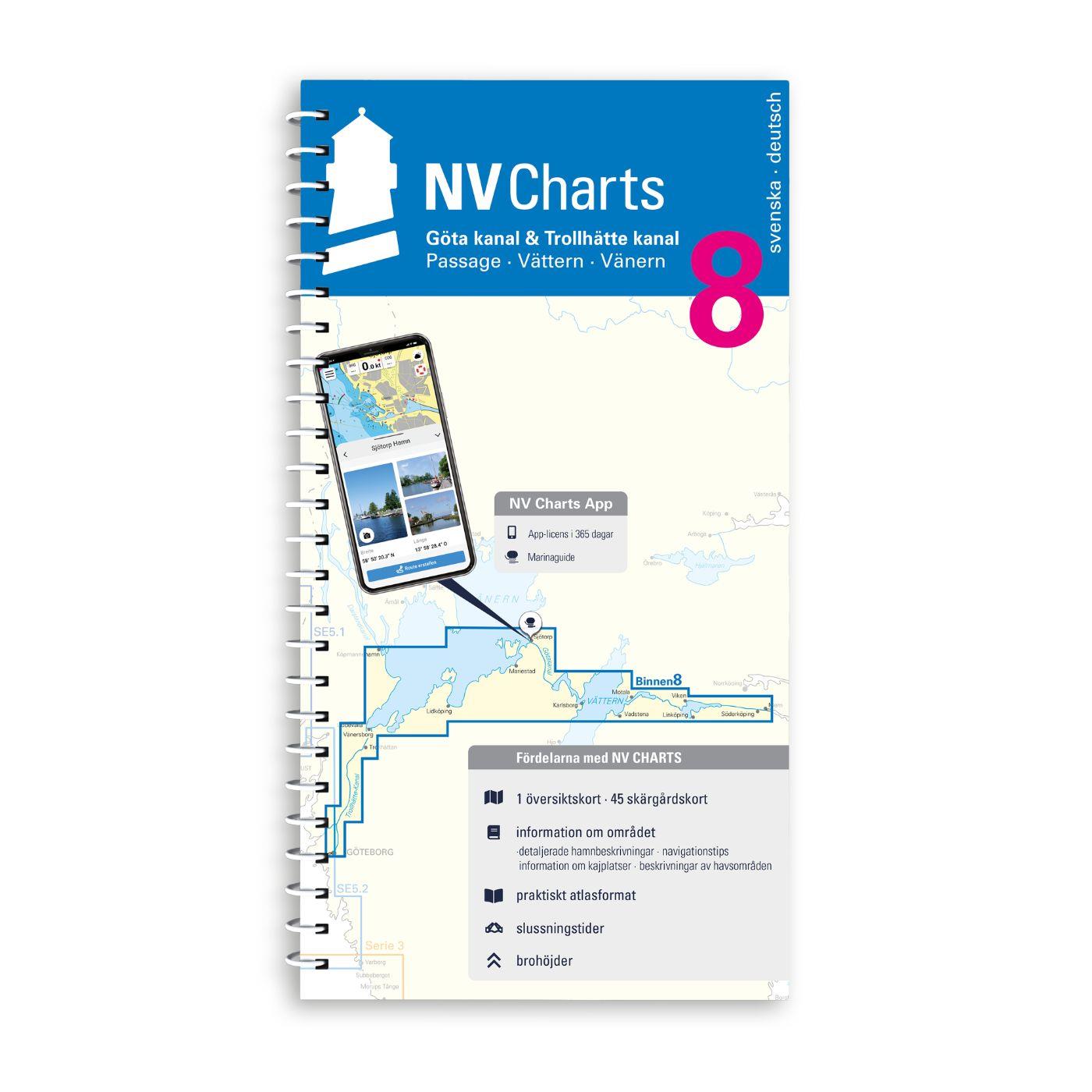
The most exciting waterways can be found in Inland Volume 4 of NV Charts. The Elbe the Elbe-Lübeck Canal the Mittelland Canal and the Elbe-Seiten Canal are all highly frequented waterways with plenty of commercial shipping. This should be taken into account in any case. In addition there are countless motorboats from the Mecklenburg and Brandenburg areas. You can reach the Baltic Sea directly via the Elbe-Seitenkanal or further downstream to the North Sea via our beautiful Hanseatic city of Hamburg. The chart set consists of 53 district and detailed charts.
The NV Sportschiffahrtskarten Binnen are a set of coloured charts at a scale of 1:35 000 specially designed for inland waters. The charts were developed according to the concept of being practical to use and precise in the information they provide. Large-scale details and tightly written texts provide information on water depths passage heights locks moorings and places of interest. An index and an overview map make finding the area quick and easy. An emblem on each page reveals the location in the area. The logical clear layout facilitates orientation as does the kilometre marking in the map margin. Dangerous spots highlighted in red and views of prominent points round off the multi-volume map series.
All NV Charts nautical charts also include an access code to the digital nautical charts in the NV Charts app and can thus be easily downloaded. The charts are valid for 365 days from activation and can be used for offline navigation with the NV Charts app on iOS, Android, PC and Mac or also in the web browser. The NV Charts app is the ideal addition on mobile devices. With the app, you can already plan a detailed route at home and thus prepare for your journey in the best possible way in conjunction with the paper chart. The app is intuitive to use and, thanks to an identical map image, you can orientate yourself on paper and digitally in a matter of seconds. The most up-to-date information is essential to navigate safely on the water with your sailboat or motorboat. With the NV Charts app, you now have the opportunity to become part of the chart community. You can mark harbours, anchorages and navigation warnings on the digital nautical chart and also add interesting places beyond navigation, such as restaurants, with pictures and comments and share your experiences with other users. In addition, the NV Charts app offers an automatic routing function, search and all navigation functions for GPS navigation with your phone or tablet. More information at: nvcharts.com/app More PC navigation apps: NV Verlag / NV Charts nautical charts can also be used in many other nv.digital compatible PC navigation programs such as NV Chart Navigator or Open CPN.NV Charts navigation app
Our recommendation:
We recommend in any case the NV Series 2 for the onward journey to the Baltic Sea or else the NV DE11 to travel downstream through beautiful Hamburg to the North Sea.
This map set contains:
53 district and detailed maps
The following sections are included in the map volume:
- The Elbe km 316.5 - 452.2
- The Elbe km 452.2 - 618.0
- Mittellandkanal
- The Elbe-Seitenkanal
- The Elbe-Lübeck-Canal with Kanaltrave Stadttrave and Stadtgraben Lübeck
| App License: | NV Charts App |
|---|---|
| Format: | Spiralbindung |
| Region: | Deutschland, Inland , Binnen |
With the help of our area preview, you can get an impression of which geographical region the product deals with or which areas a nautical chart covers.
Reviews
Login
11 March 2021 15:40
Harald Da.
Gute Karten für die Elbe und digital gleich mit enthalten
Related products to this item
Last viewed products

