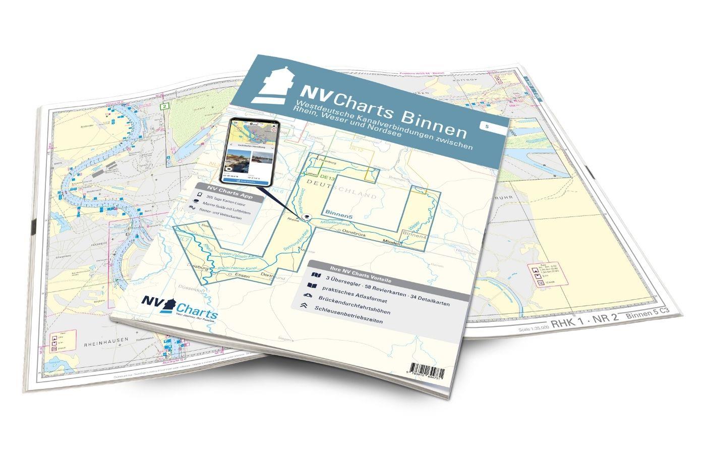
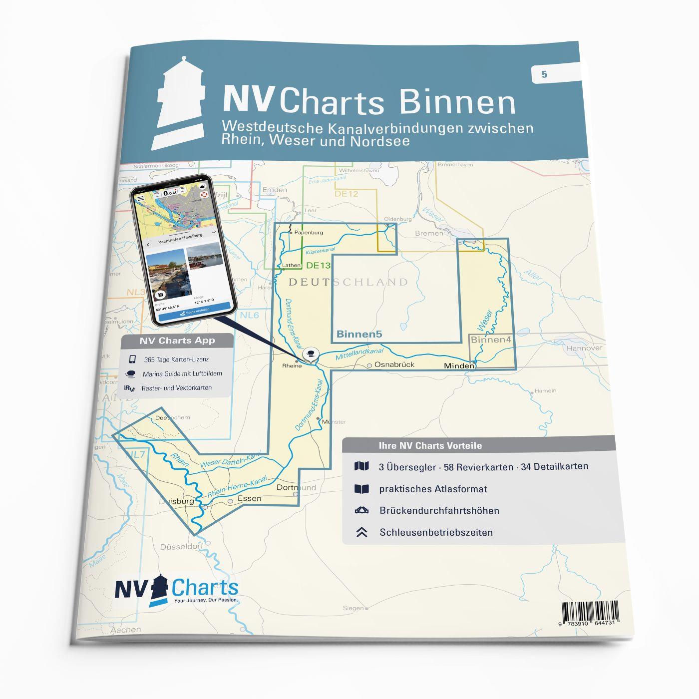
NV Atlas Binnenband 5
Description
Inland chart atlas for the North German canal connections between the Rhine, Weser and the North Sea
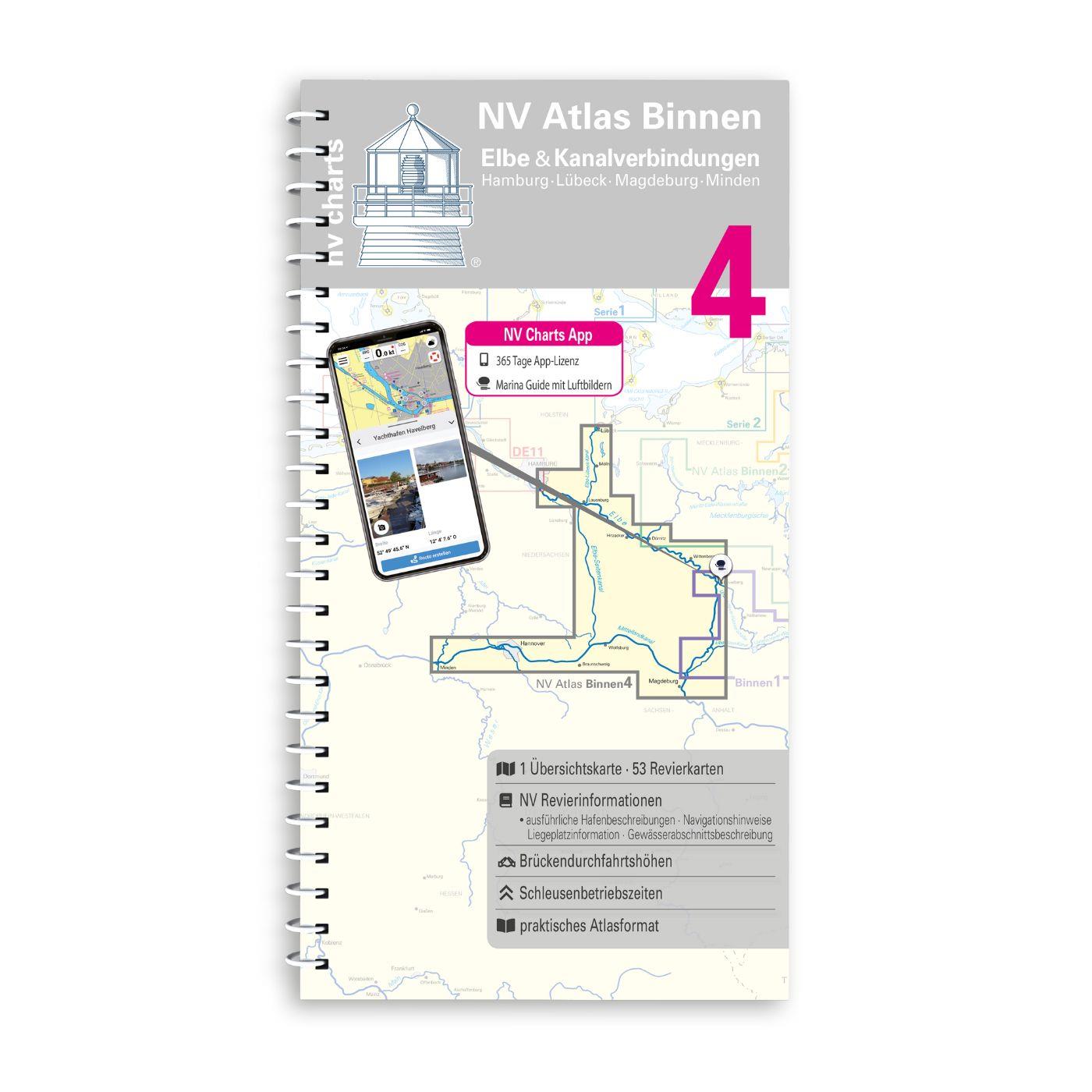
If you are travelling from the North Sea to the Weser or Rhine, or from one of these two rivers to the North Sea, the "Binnenband 5" is the perfect chart for you. This practical chart pack includes sections of the Weser (between Bremen and Minden) and the Rhine (between the border and Duisburg). The Coastal Canal, the Mittelland Canal, the Dortmund-Ems Canal, the Rhine-Herne Canal and the Weser-Datteln Canal are also represented in this pack. It contains numerous detailed charts and a 365-day NV Charts App license.
Our inland series are a set of colour charts specially designed for inland waters. The charts were developed according to the concept of practical handling and precise information. Large-scale details and short texts provide information on water depths, clearance heights, locks, moorings and places of interest. An index and an overview map make it easy to orientate yourself quickly in the area. An emblem on each page indicates the location in the area. The logical, clear layout facilitates orientation, as does the kilometer marker at the edge of the chart. Hazardous areas and views of prominent points are highlighted in red to round off the multi-volume chart.
NV Charts navigation app
All NV Charts nautical charts also include an access code to the digital nautical charts in the NV Charts app and can thus be easily downloaded. The charts are valid for 365 days from activation and can be used for offline navigation with the NV Charts app on iOS, Android, PC and Mac or also in the web browser.
The NV Charts app is the ideal addition on mobile devices. With the app, you can already plan a detailed route at home and thus prepare for your journey in the best possible way in conjunction with the paper chart. The app is intuitive to use and, thanks to an identical map image, you can orientate yourself on paper and digitally in a matter of seconds. The most up-to-date information is essential to navigate safely on the water with your sailboat or motorboat.
With the NV Charts app, you now have the opportunity to become part of the chart community. You can mark harbours, anchorages and navigation warnings on the digital nautical chart and also add interesting places beyond navigation, such as restaurants, with pictures and comments and share your experiences with other users. In addition, the NV Charts app offers an automatic routing function, search and all navigation functions for GPS navigation with your phone or tablet. More information at: nvcharts.com/app
More PC navigation apps: NV Verlag / NV Charts nautical charts can also be used in many other nv.digital compatible PC navigation programs such as NV Chart Navigator or Open CPN.
Our recommendation:
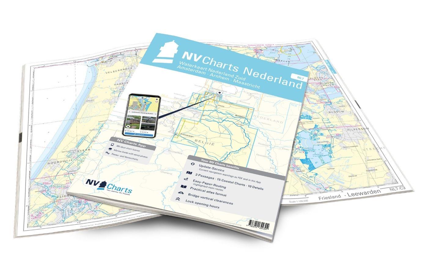
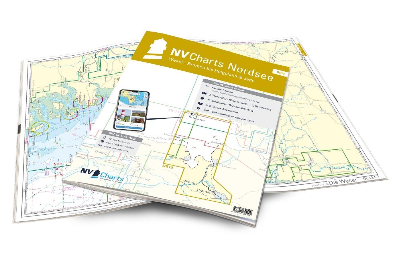
We recommend the charts DE12 and DE13 for the North Sea. If you have your eye on the Mittelland Canal in the direction of Hanover, the "Binnenband 4" is the right choice. If you are travelling to the Netherlands, we offer the NL6 and NL7.
The following sections are included in this chart:
• Weser between Bremen and Minden
• Rhine between the German/Dutch border and Duisburg
• Coastal canal between Oldenburg and the Dortmund-Ems canal
• Mittelland Canal between Minden and the Dortmund-Ems Canal
• Dortmund-Ems Canal between Papenburg and the mouth of the Rhine
• Rhine-Herne-Canal
• Weser-Datteln-Canal
Other customers bought also
Reviews
Login

