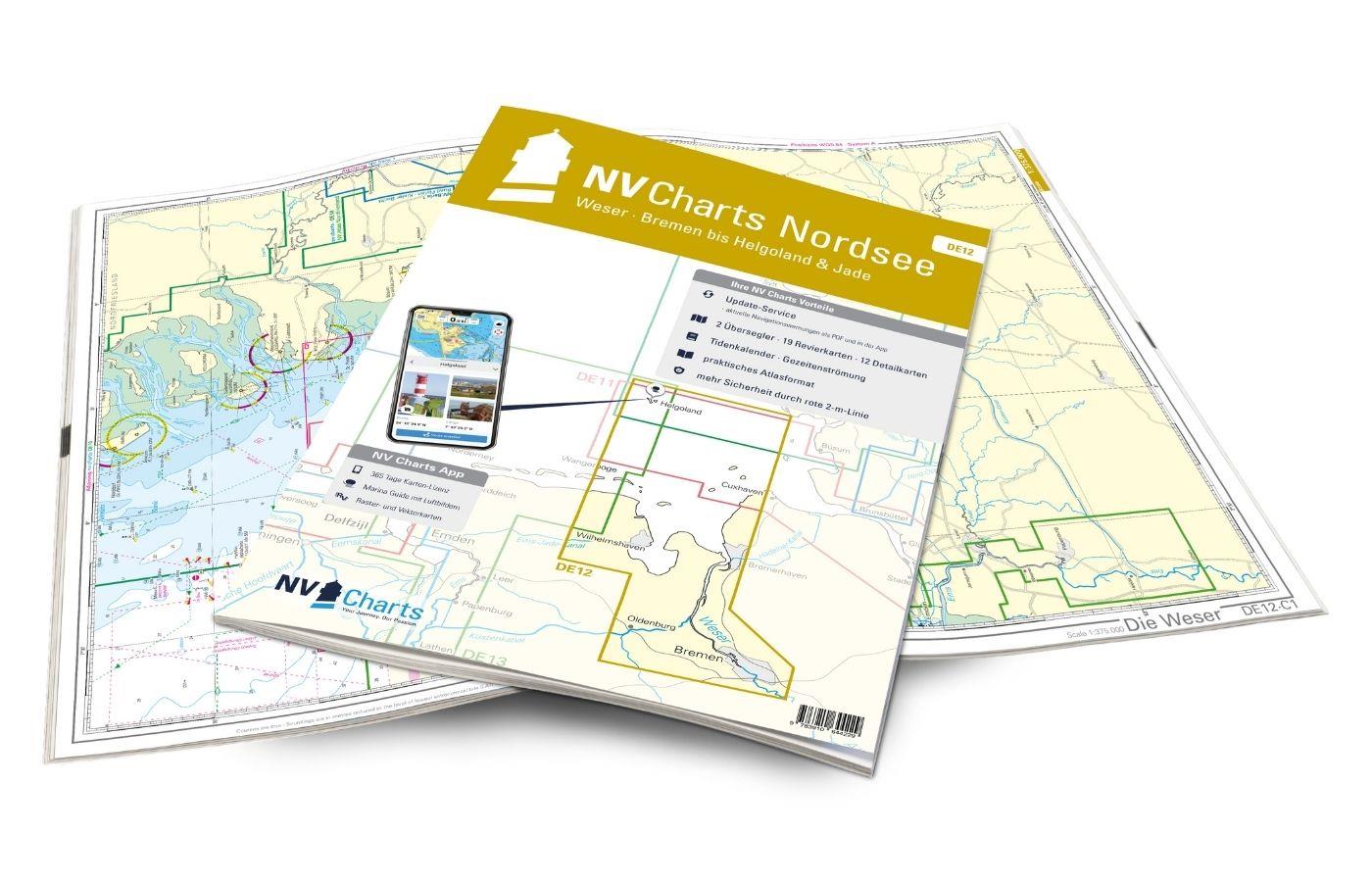
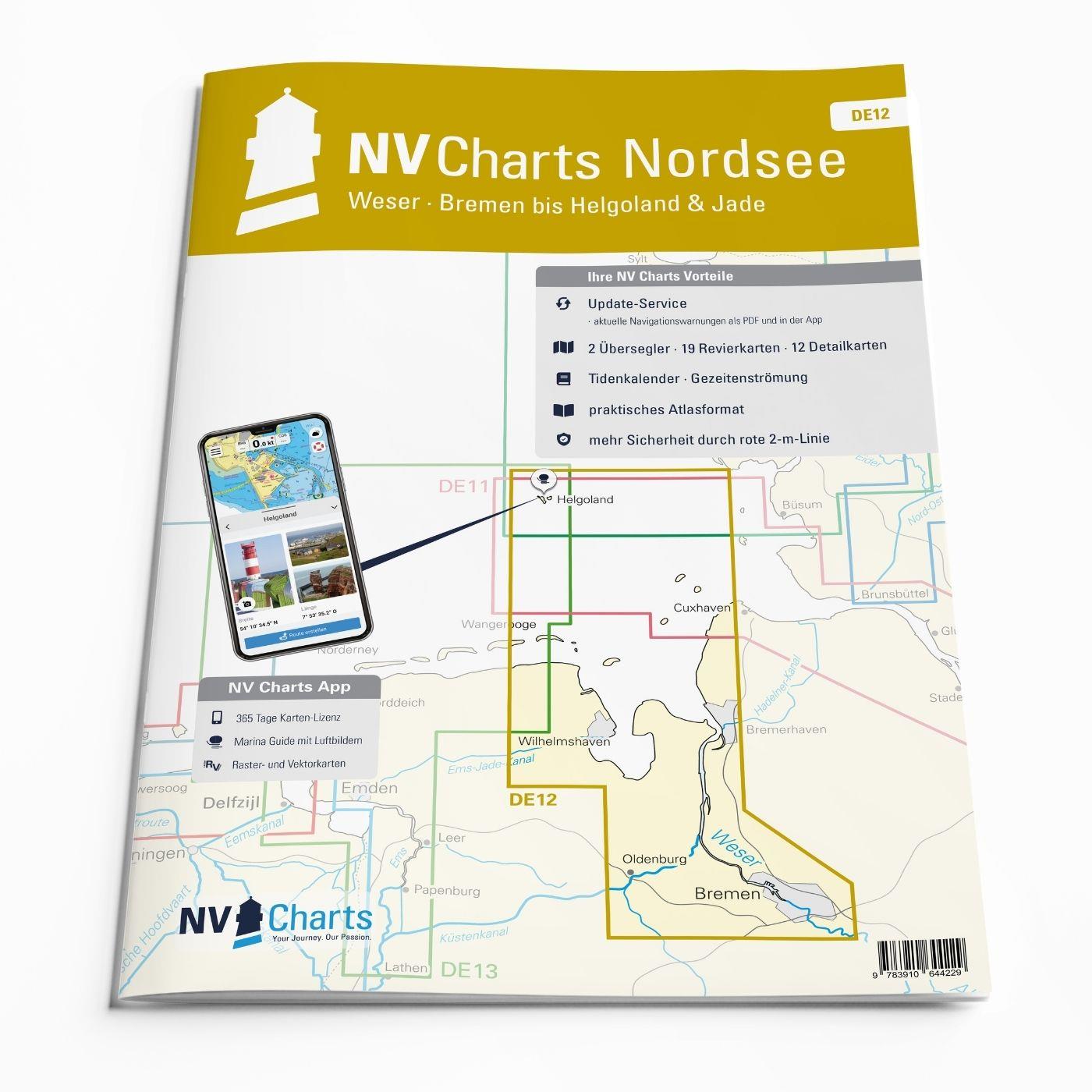
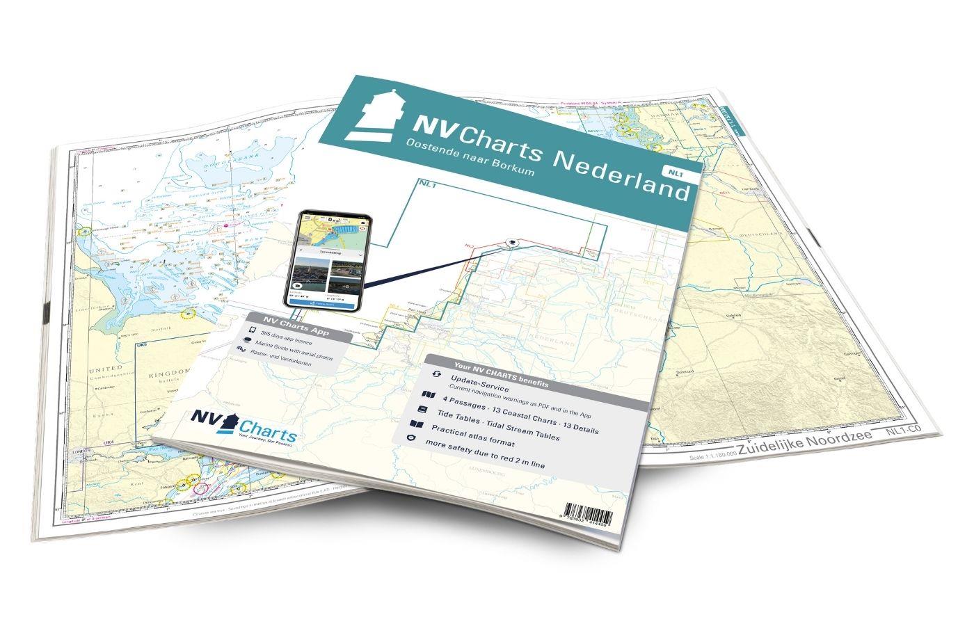
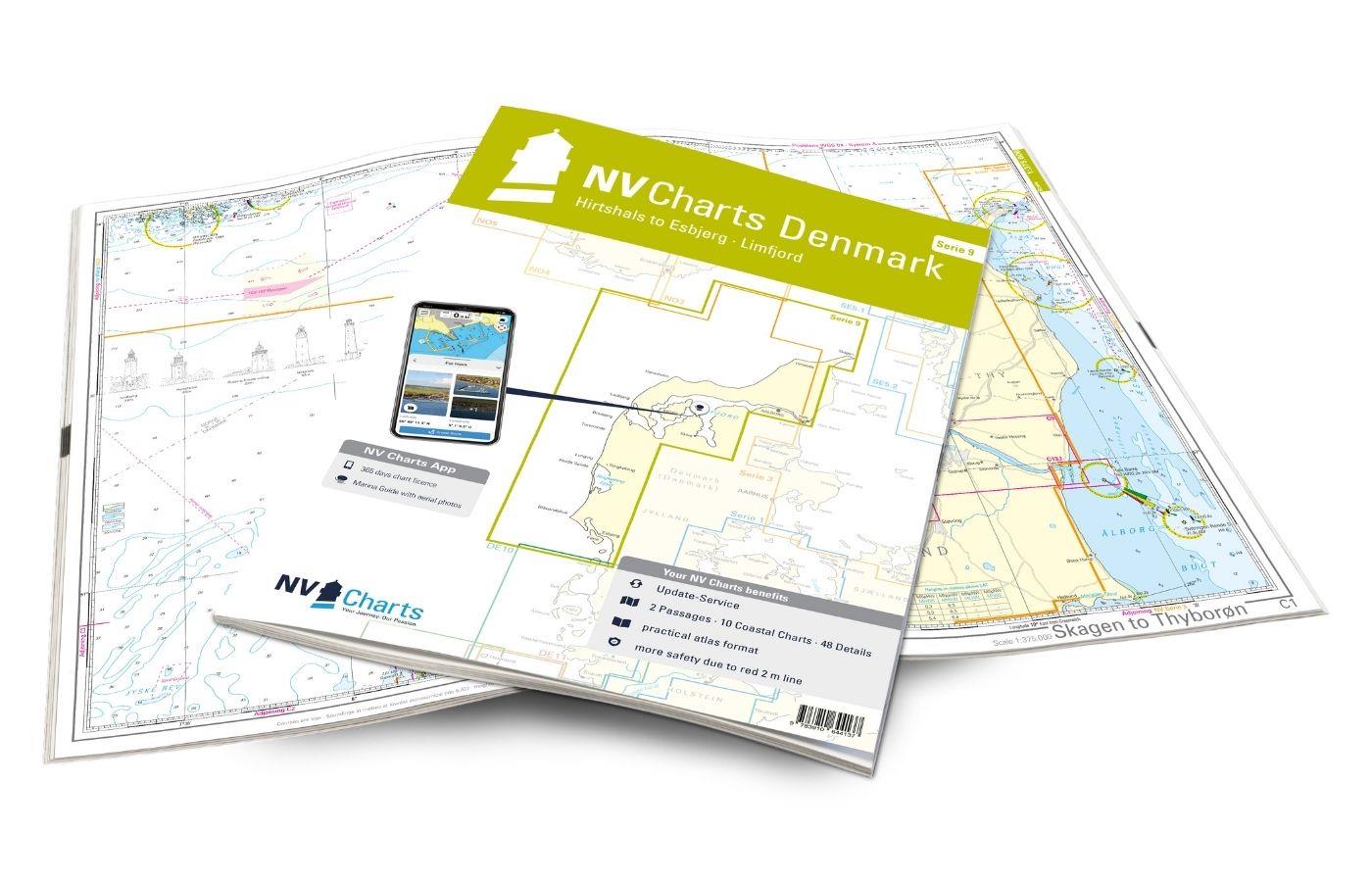
NV Charts Nordsee DE12 - Weser, Bremen bis Helgoland & Jade
€64.99*
Description
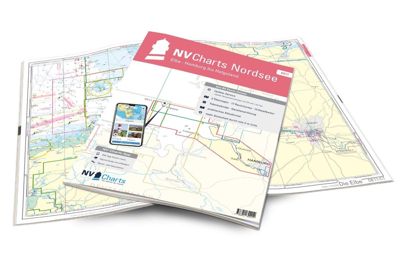
For water sports enthusiasts from the Bremen, Oldenburg, Bremerhaven, and Wilhelmshaven area, the DE12 from NV Charts is the chart set that should definitely be on board. Tides and current information are included in the handy atlas, as well as access to the NV Charts App. With the charts for the sea area from Bremen to Helgoland and Jade , you navigate with professional cartography optimized for recreational boating in the North Sea.
Regional Overview
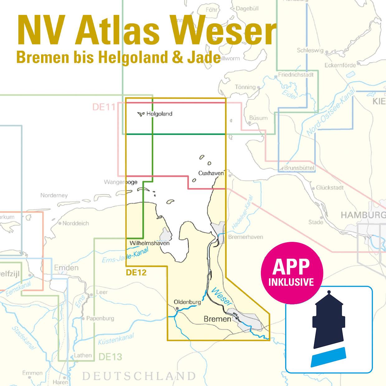
The Weser, as a federal waterway, is a highly frequented river that should not be navigated without current charts. Bremerhaven is a city with a rich maritime heritage, home to the German Maritime Museum and today the location of Germany's second-largest overseas port after Hamburg. From here, you reach the German Bight or the Jade Bay, the large sea bay between the Lower Weser and the East Frisian Islands. The tidal range at the Weser estuary and also at the Jade Bay is between 3.15 and 4.33 m and might initially be unusual for Baltic Sea skippers, but with some preparation and current charts, it is worth a trip. From Bremerhaven, a trip to the only German offshore island is also an option. Helgoland is not far away, with a distance of about 50 nm. There are numerous tourist facilities, restaurants, and bunkering options.
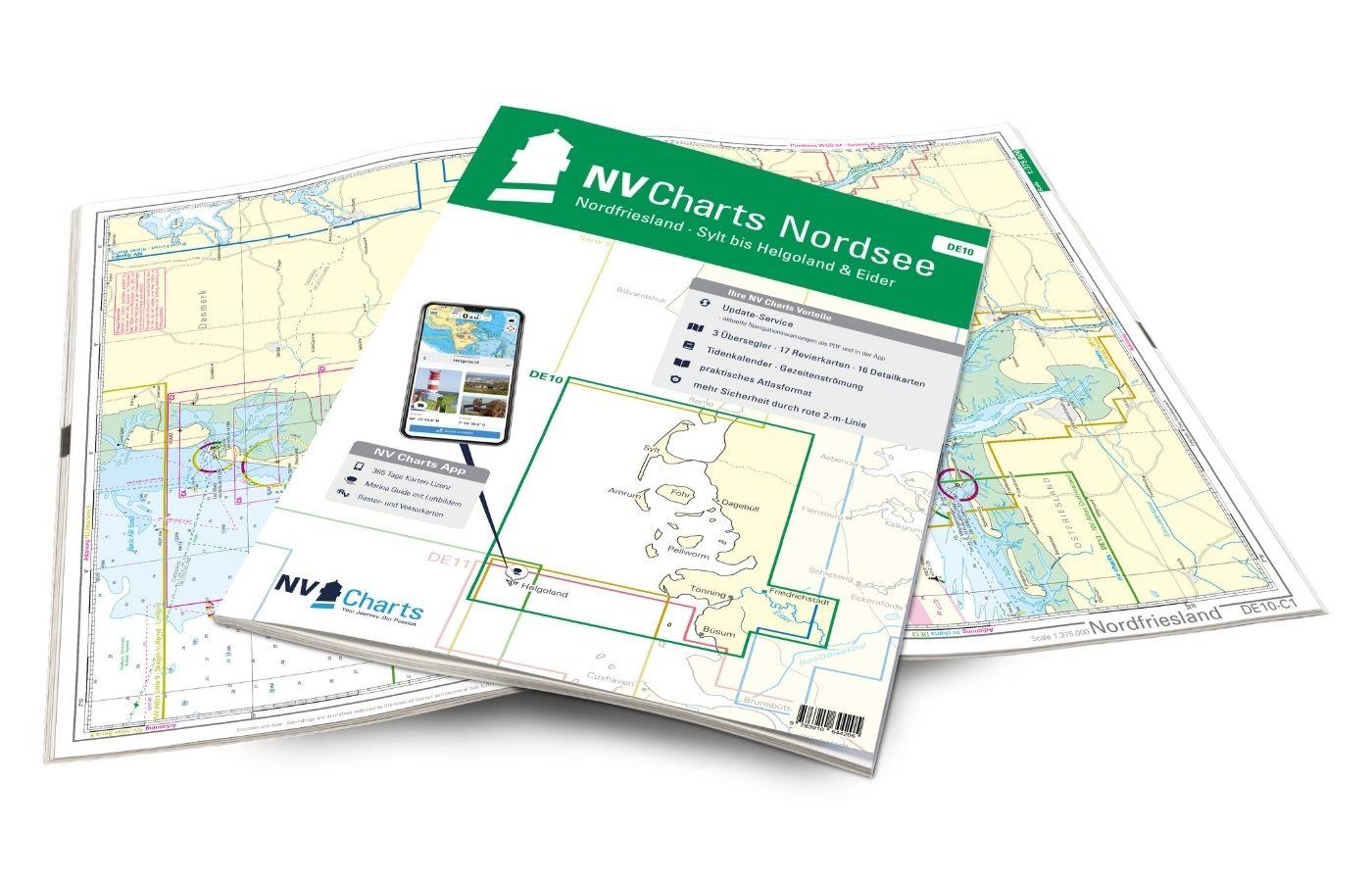
As a useful addition, we recommend the two other North Sea series DE10 and DE13, as well as the cruising guide "Da geht noch Watt".
This Chart Set Includes
- 2 passage charts
- 19 coastal charts
- 12 detail charts
- monthly correction service
- tidal calendar and tidal currents included
- Digital charts for navigation program and NV Charts App 356-day license
- Harbor plans Paper & Digital
- Navigation instructions in German and English
All Advantages at a Glance
- NV Atlas Chart Format: practical, handy atlas format, opened in A2, closed in A3 format, central flat stapling - allows easy work with the course triangle
- Always up-to-date: annually updated edition, monthly correction service from April to October
- NV Charts App: includes access code to the digital sea charts of the purchased area in the NV Charts App with a 365-day license, for offline navigation with the app on iOS, Android, PC, Mac, or in the web browser, comprehensive harbor manual
- Extremely detailed: Sea charts based on official surveys and our own surveys, especially detailed outside the main waterways
- Optimized for recreational boating
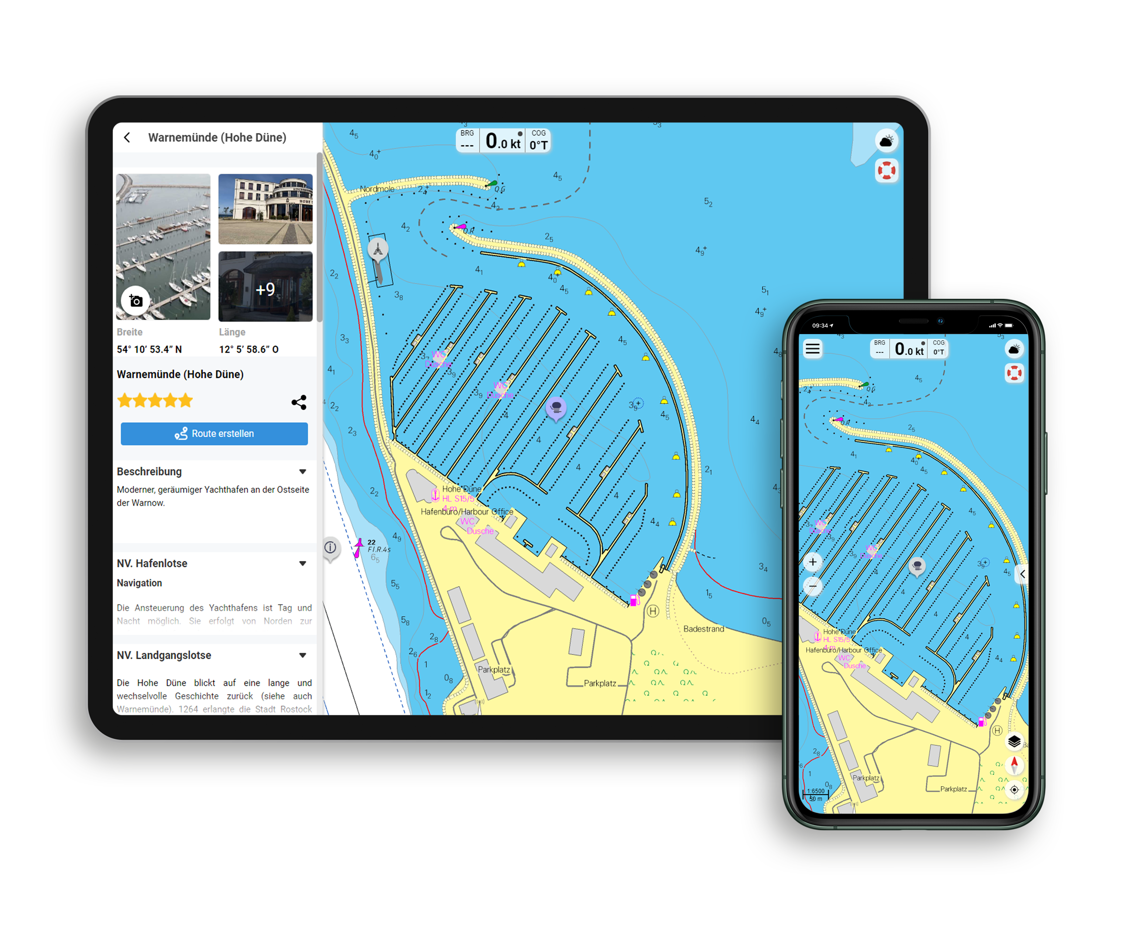
Features of the NV Charts App
- Flexible Autorouting
- Satellite Overlay
- Augmented Reality
- VMG (Velocity Made Good)
- BoatView Harbor Guide
- Track recording
- AIS connection and more.
Included Charts and Scales
Passage Charts
C1 The Weser 1: 375.000 , C2 Approaches to Weser and Elbe 1: 150.000
Coastal Charts
C3 Approach to Helgoland 1: 50.000 , C5 Old & New Weser 1: 50.000 , C6 Jade Approach 1: 50.000 , C7 Tegeler Plate 1: 50.000 , C8 Weser - Elbe - Wadden Sea Routes 1: 50.000 ,C9 Mellum to Jade Weser Port 1: 35.000 , C10 The High Road 1: 35.000 , C11 Jade Bay 1: 35.000 , C12 Jade Bay West 1: 35.000 , C13 Seal Plate 1: 25.000 , C14 Langlütjensand 1: 25.000 ,C15 Bremerhaven to Nordenham 1: 25.000 , C17 Nordenham to Rechtenfleth 1: 25.000 , C18 Brake 1: 25.000 , C19 Elsfleth 1: 25.000 , C20 Vegesack 1: 25.000 , C20A/B Hunte from Huntebrück to Oldenburg 1: 50.000 , C22A Stephanibrücke to Hemelingen 1: 25.000
Detail Charts
C4 Helgoland 1: 12.500 , C8A Dove Harle 1: 25.000 , C12A Wilhelmshaven 1: 15.000 , C16 Ports of Bremerhaven 1: 12.500 , C18A Port of Brake 1: 10.000 , C19A Huntemündung 1: 10.000 , C19B Port of Elsfleth 1: 10.000 , C20C Port of Oldenburg 1: 20.000 , C21 Sport boat harbor Hasenbüren to Overseas Port 1: 12.500 , C21A Vegesacker Curve 1: 12.500 , C22 Overseas Port to Stephanibrücke 1: 12.500
| App License: | NV Charts App |
|---|---|
| Format: | NV Atlas, Gebundener Kartensatz |
| Purchase type: | One-time |
With the help of our area preview, you can get an impression of which geographical region the product deals with or which areas a nautical chart covers.
Related products to this item
Reviews
Login

