Skip to main content Skip to search Skip to main navigation

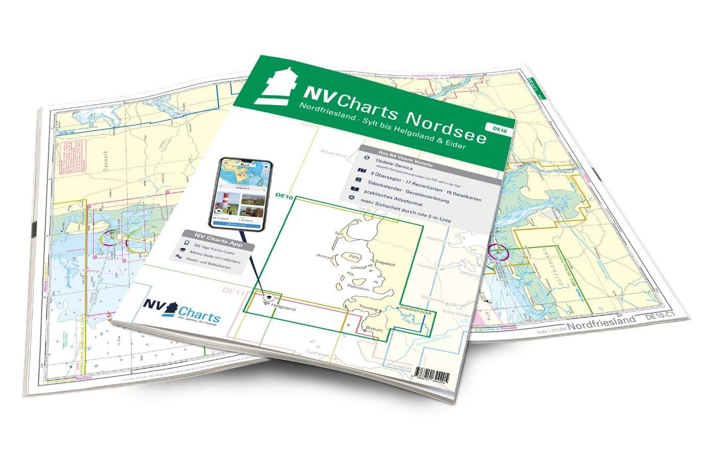
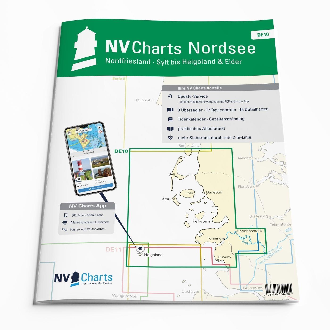
The charts for the sea area Sylt to Helgoland are professional charts optimised for recreational boating in the North Sea. They contain all the information necessary for navigation in the difficult waters of the German Bight and additional harbour plans and details for approaches and passages in the waters. The chart set also includes the current tide and current data as well as access to the NV Charts app.

Regions overview

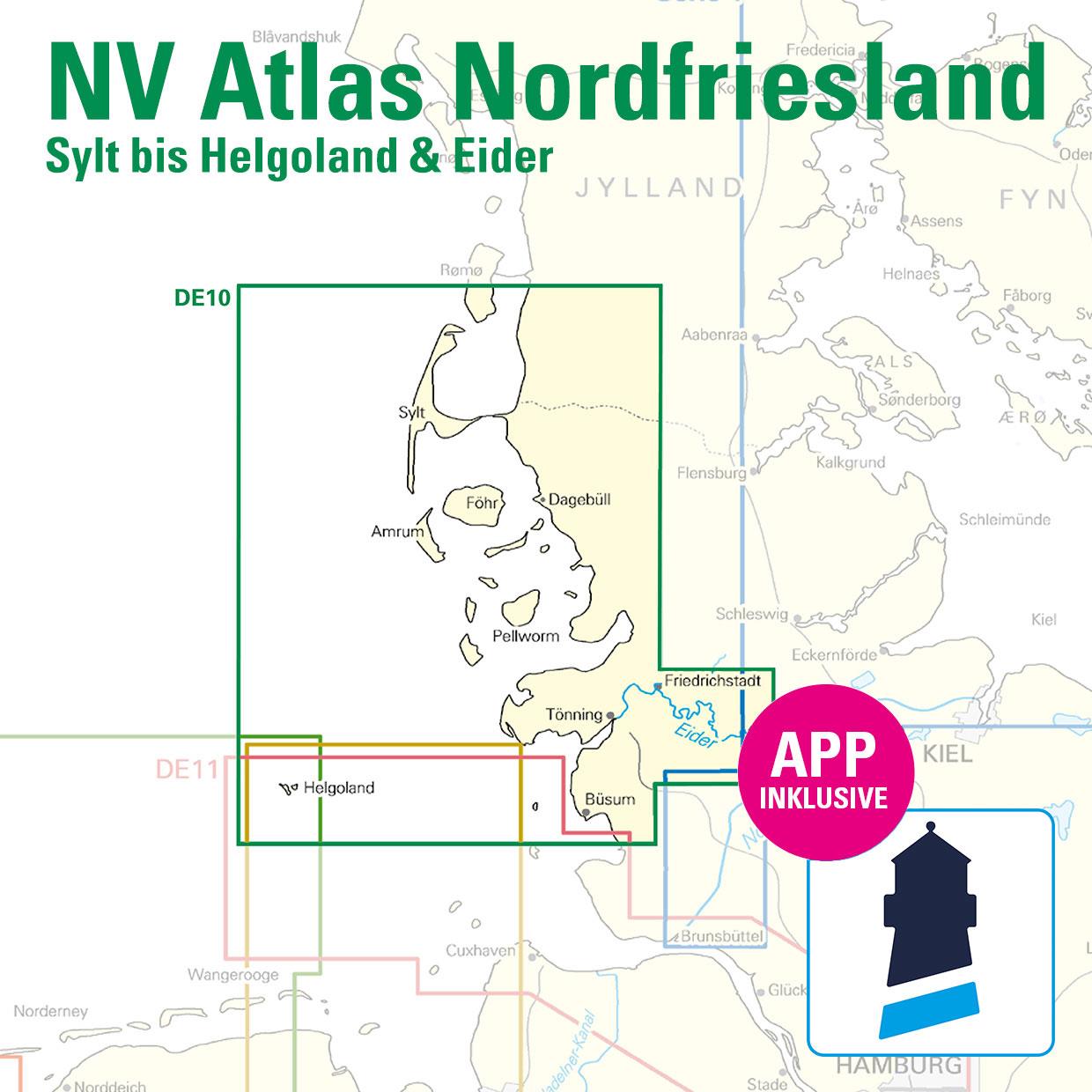
The North Frisian Islands off the west coast of Schleswig-Holstein are a popular holiday destination in the North Sea in the Schleswig-Holstein Wadden Sea National Park. Each island has its very own charm and offers personal holiday happiness for every taste. Green dykes, long beaches and lots of sheep are probably the best-known characteristics of the five islands of Nordstrand, Pellworm, Föhr, Amrum and Sylt. With the DE 10 chart set, you will not only find all the details you need for a safe trip to the North Frisian Islands, but also the sailing areas. Eider and Helgoland are included. The North Sea is challenging, but with good literature and up-to-date nautical charts, you can lay the foundations for safe sailing through this sea area, whether by sailboat or under motor.

This chart set includes

  • 3 &sailors
  • 17 district maps
  • 16 detailed maps
  • Tide calendar and tidal currents included
  • Digital charts for navigation programme and NV Charts app 356-day licence
  • Harbour plans paper & digital
  • Navigation instructions in German and English

All advantages at a glance

  • NV Atlas chart format: Practical, handy atlas format, opened in A2, closed in A3 format, flat staple binding in the centre - makes it easy to work with the course triangle
  • Always up-to-date: Updated edition every year, monthly correction service from April to October
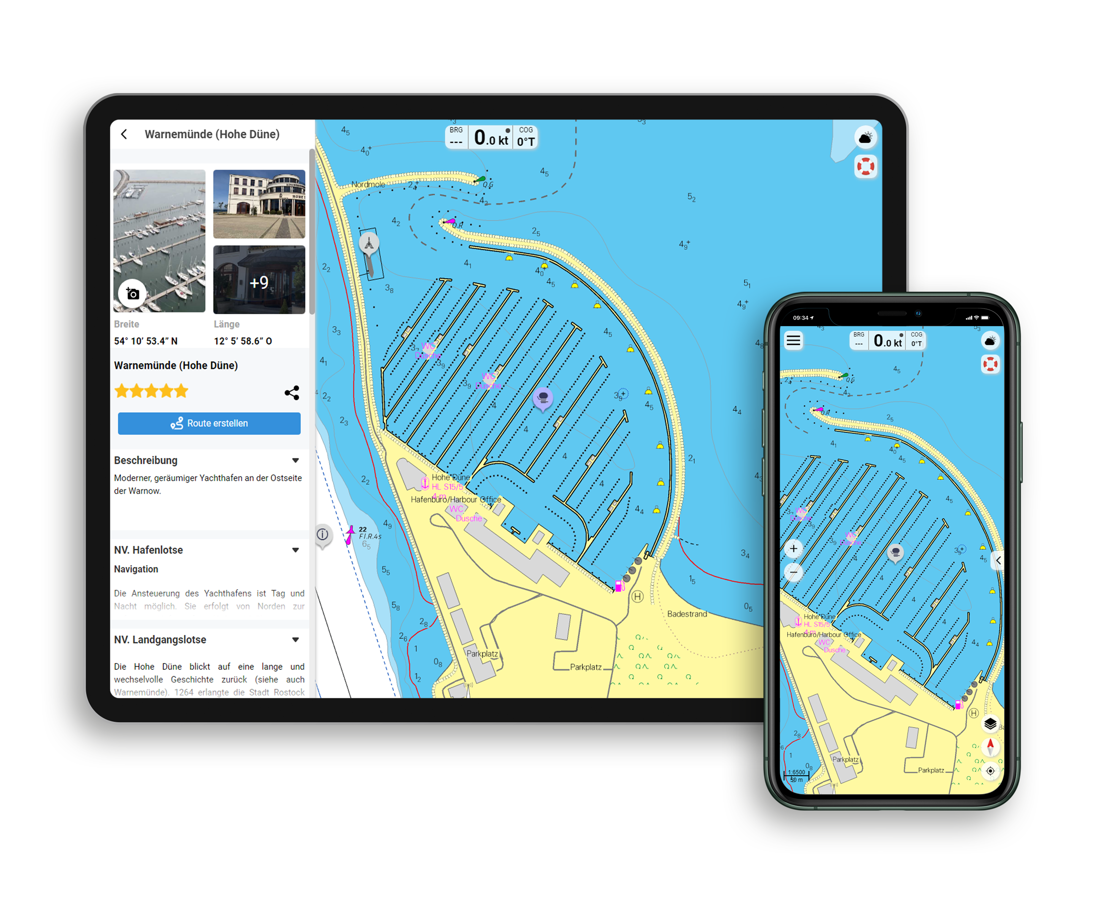
  • NV Charts App: including access code to the digital nautical charts of the purchased area in the NV Charts app with 365-day licence, for offline navigation with the app on iOS, Android, PC, Mac or in the web browser, comprehensive harbour manual
  • Extremely detailed: Nautical charts based on data from official surveys and own surveys, particularly detailed outside the main fairways
  • Optimised for recreational boating

Functions of the NV Charts app

  • Flexible autorouting
  • Satellite overlay
  • Augmented reality
  • VMG (Velocity Made Good)
  • BoatView harbour guide
  • Track recording
  • AIS connection and much more.
Find out more now

Charts and measures included

Übersegler

C1 North Friesland 1: 375,000 , C2 Rømø to Süderoogsand 1: 150,000 , C3 Helgoland to Süderoogsand 1: 150,000

District maps

C4 Lister Tief Nord 1: 50,000 , C5 Lister Tief Süd 1: 50,000 , C6 Vortrapptief 1: 50,000 ,C7 Hörnumtief 1: 50,000 , C8 Rütergat 1: 50,000 , C9 Norderaue - Süderaue 1: 50. 000 ,C10 Norderhever Nord 1: 50.000 , C11 Norderhever and Heverstrom 1: 50.000 ,C12 Rütergat to Mittelhever 1: 50.000 , C13 Norderhever Süd 1: 50. 000 , C14 Süderhever and Heverstrom 1: 50,000 , C15 Norderpiep to Eidersperrwerk 1: 50,000 , C16 Norder- & Süderpiep 1: 50,000 , C17 Meldorfer Bucht 1: 50. 000 , C18 Tideeider 1: 25,000 , C19 The Eider - Wollersum to Nordfeld 1: 25,000 , C20 The Eider - Nordfeld to Lexfähre 1: 50,000 , C21 Approach to Helgoland 1: 50,000

Detailed maps

C10A Harbour of Büsum 1: 12,500 , C10B Harbour of Dagebüll 1: 25,000 , C10C Schlüttsiel 1: 12,500 , C17A Meldorfer Hafen 1: 12,500 , C18A Eidersperrwerk 1: 10,000 , C18B Tönning 1: 10,000 , C19A Friedrichstadt 1: 10. 000 , C20A Husum 1: 12,500 , C20B Gieselau lock 1: 14,000 , C22 Helgoland 1: 12,500 , C24A Amrum harbour 1: 25,000 , C24B Pellworm harbour 1: 12,500 , C24C Hörnum 1: 7,500 , C24D Rømø harbour 1: 9,000 , C24E List 1: 5,000 , C24F Wyk 1: 7,500

Declaration of character - Legend C23
General notes - General Notes C23
Tide Calendar - Tide Tables C24-25

Properties "NV Atlas Nordsee DE10 - Nordfriesland, Sylt bis Helgoland & Eider"
App License: NV Charts App
Format: NV Atlas, Gebundener Kartensatz
Purchase type: One-time
Properties "NV Atlas Nordsee DE10 - Nordfriesland, Sylt bis Helgoland & Eider"
App License: NV Charts App
Format: NV Atlas, Gebundener Kartensatz
Purchase type: One-time

0 of 0 reviews

Average rating of 0 out of 5 stars

Leave a review!

Share your experiences with other customers.


Area preview

With the help of our area preview, you can get an impression of which geographical region the product deals with or which areas a nautical chart covers.

Other customers bought also

Gebietsvorschau für Törnführer Nordseeküste 2; Elbe bis Sylt öffnen
Törnführer Nordseeküste 2; Elbe bis Sylt
Touring Guide North Sea Coast 2 Elbe to SyltWhoever goes boating in the Wadden Sea on the German North Sea coast will be rewarded with special experiences and impressions. The rugged nature and fallin

€39.90*
Subs.available
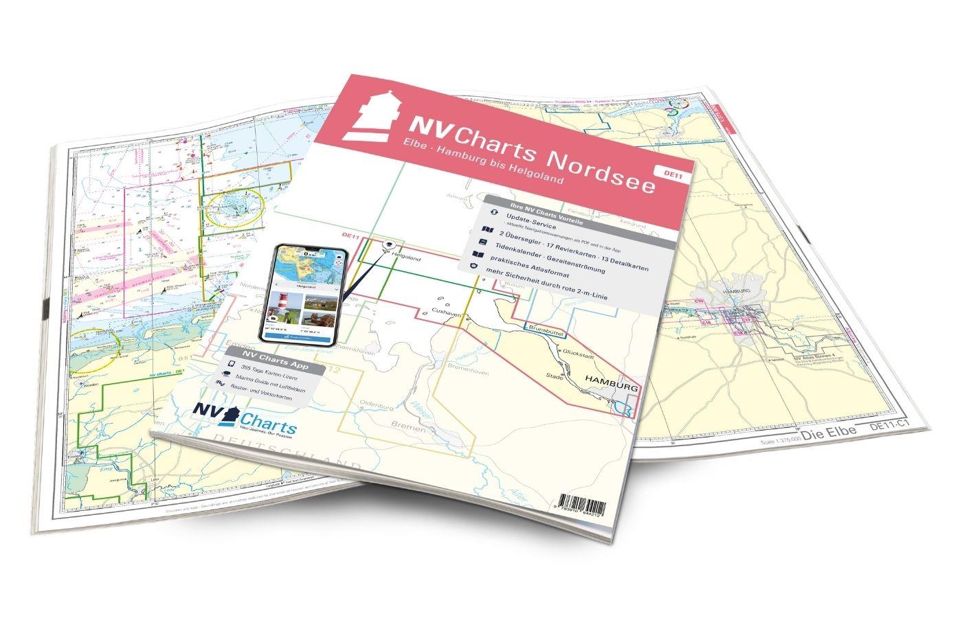
Gebietsvorschau für NV Charts Nordsee DE11 - Elbe, Hamburg bis Helgoland öffnen
NV Charts Nordsee DE11 - Elbe, Hamburg bis Helgoland
Purchase type: One-time
Hamburg to Helgoland, the world-famous northern German port city and Germany's only offshore island. The chart set DE 11 Elbe to Helgoland takes you from the Port of Hamburg via Stade, Glücksstadt to

Variants from €58.49*
€64.99*
Subs.available
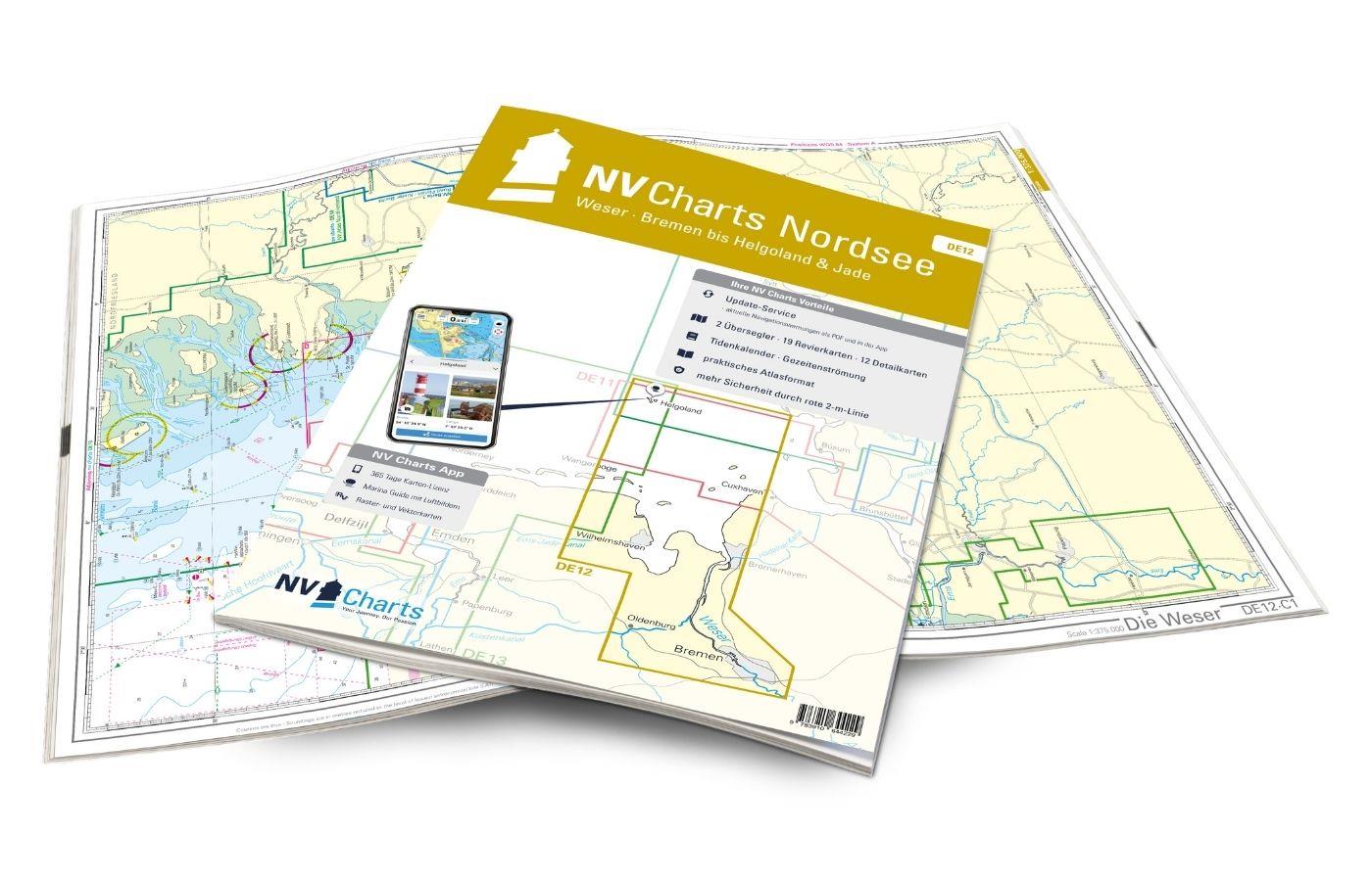
Gebietsvorschau für NV Charts Nordsee DE12 - Weser, Bremen bis Helgoland & Jade öffnen
NV Charts Nordsee DE12 - Weser, Bremen bis Helgoland & Jade
Purchase type: One-time
For water sports enthusiasts from the Bremen, Oldenburg, Bremerhaven, and Wilhelmshaven area, the DE12 from NV Charts is the chart set that should definitely be on board. Tides and current information

Variants from €58.49*
€64.99*
Gebietsvorschau für Törnführer Nordseeküste 1; Cuxhaven bis Den Helder öffnen
Törnführer Nordseeküste 1; Cuxhaven bis Den Helder
Cuxhaven to Den HelderFrom the Wadden SeaThe sailing guide North Sea Coast 1 is a classic among sailing guides. The book guides you in detail through the regions ports and picks up on regional feature

€39.90*
Subs.available
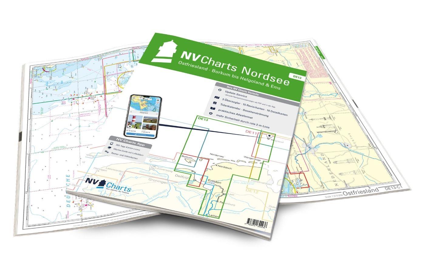
Gebietsvorschau für NV Charts Nordsee DE13 - Ostfriesland, Borkum bis Helgoland & Ems öffnen
NV Charts Nordsee DE13 - Ostfriesland, Borkum bis Helgoland & Ems
Purchase type: One-time
The East Frisian islands of Borkum, Juist, Norderney, Baltrum, Langeoog, Spiekeroog and Wangerooge are both attractive and demanding. Seemingly endless expanse, the fresh breeze and long beaches chara

Variants from €58.49*
€64.99*
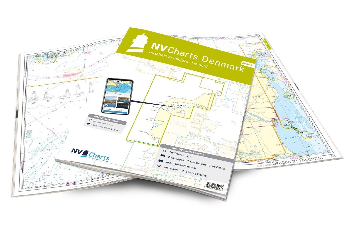
Gebietsvorschau für NV Charts Denmark Serie 9 - Hirtshals to Esbjerg & Limfjord öffnen
NV Charts Denmark Serie 9 - Hirtshals to Esbjerg & Limfjord
The Danish west coast and the Limfjord are among the most popular holiday regions in the Scandinavian country. The coast is known for its endless, fine sandy beaches. The Limfjord is an elongated soun

€64.99*

Related products to this item

Gebietsvorschau für NV Charts Nordsee DE11 - Elbe, Hamburg bis Helgoland öffnen
NV Charts Nordsee DE11 - Elbe, Hamburg bis Helgoland
Hamburg to Helgoland, the world-famous northern German port city and Germany's only offshore island. The chart set DE 11 Elbe to Helgoland takes you from the Port of Hamburg via Stade, Glücksstadt to

Variants from €58.49*
€64.99*
Gebietsvorschau für NV Charts Nordsee DE13 - Ostfriesland, Borkum bis Helgoland & Ems öffnen
NV Charts Nordsee DE13 - Ostfriesland, Borkum bis Helgoland & Ems
The East Frisian islands of Borkum, Juist, Norderney, Baltrum, Langeoog, Spiekeroog and Wangerooge are both attractive and demanding. Seemingly endless expanse, the fresh breeze and long beaches chara

Variants from €58.49*
€64.99*
Gebietsvorschau für NV Charts Nordsee DE12 - Weser, Bremen bis Helgoland & Jade öffnen
NV Charts Nordsee DE12 - Weser, Bremen bis Helgoland & Jade
For water sports enthusiasts from the Bremen, Oldenburg, Bremerhaven, and Wilhelmshaven area, the DE12 from NV Charts is the chart set that should definitely be on board. Tides and current information

Variants from €58.49*
€64.99*
Gebietsvorschau für NV Charts Denmark Serie 9 - Hirtshals to Esbjerg & Limfjord öffnen
NV Charts Denmark Serie 9 - Hirtshals to Esbjerg & Limfjord
The Danish west coast and the Limfjord are among the most popular holiday regions in the Scandinavian country. The coast is known for its endless, fine sandy beaches. The Limfjord is an elongated soun

€64.99*
Gebietsvorschau für NV Charts Nederland NL2 - Waddenzee öffnen
NV Charts Nederland NL2 - Waddenzee
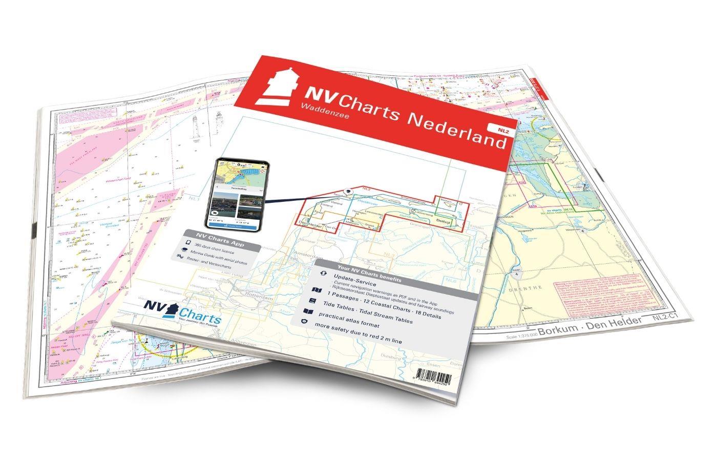
The NV Atlas NL2 is the ideal chart to explore the Waddenzee region.The chart series, specially designed for recreational boating, contains the nautical charts in various sizes, as well as all harbor

Variants from €58.49*
€64.99*

Similar products

Gebietsvorschau für NV Charts Pilot 2, North Sea - Falmouth to Kristiansand - Inverness öffnen
NV Charts Pilot 2, North Sea - Falmouth to Kristiansand - Inverness
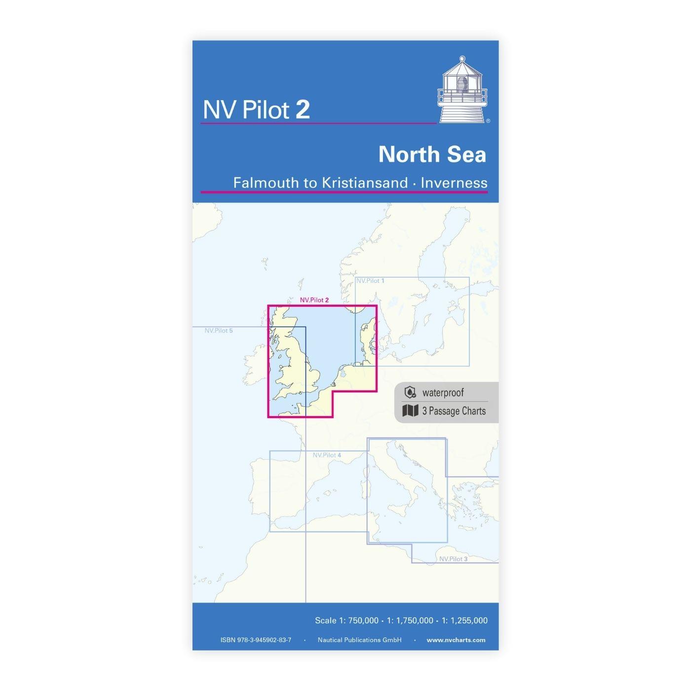
NV Charts Pilot 2, North Sea - Falmouth to Kristiansand - InvernessThe Pilot 2 from NV Charts is the planning chart that is needed for the North Sea. The west coast of Denmark, the German North Sea an

€24.99*
Gebietsvorschau für NV Charts Denmark Serie 9 - Hirtshals to Esbjerg & Limfjord öffnen
NV Charts Denmark Serie 9 - Hirtshals to Esbjerg & Limfjord
The Danish west coast and the Limfjord are among the most popular holiday regions in the Scandinavian country. The coast is known for its endless, fine sandy beaches. The Limfjord is an elongated soun

€64.99*