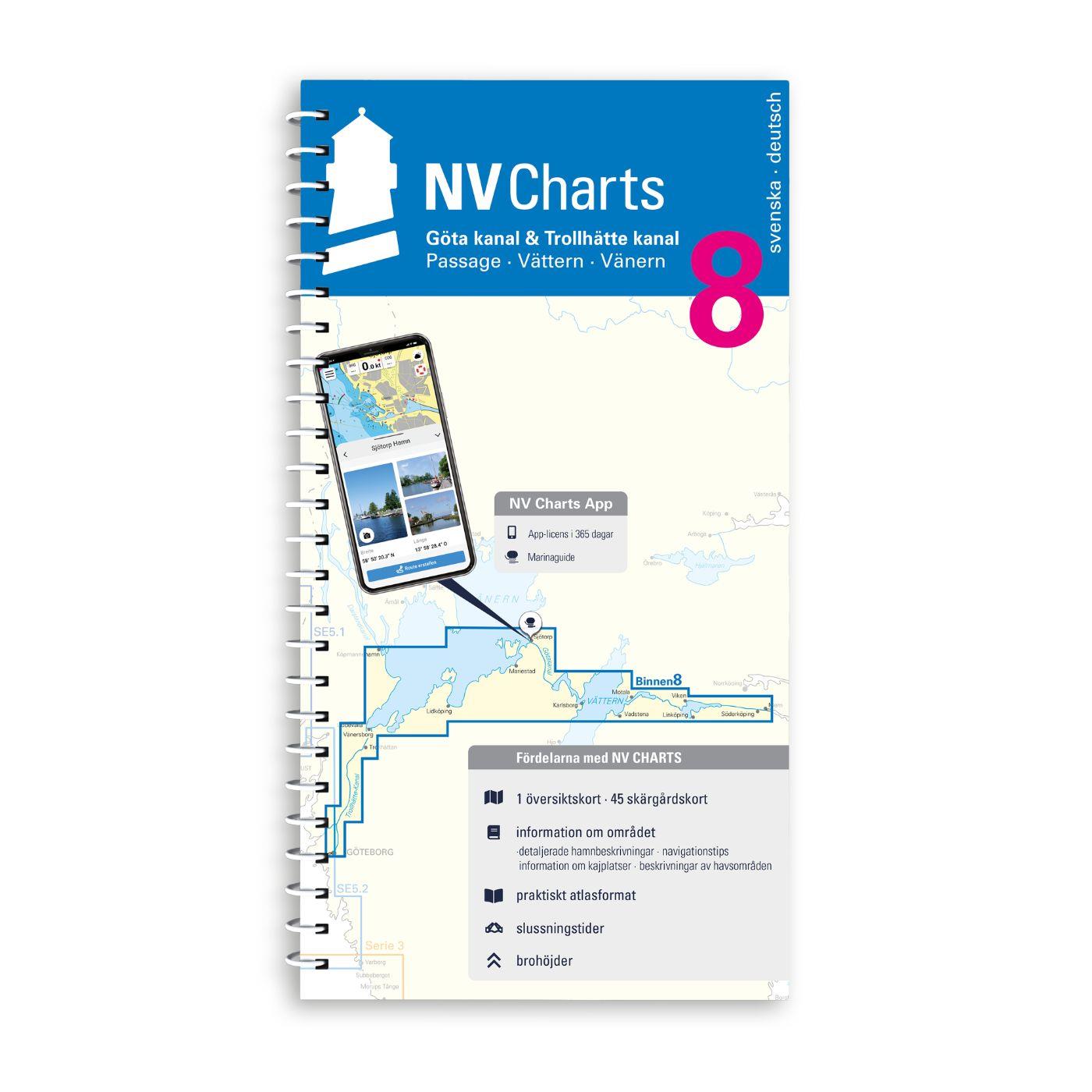
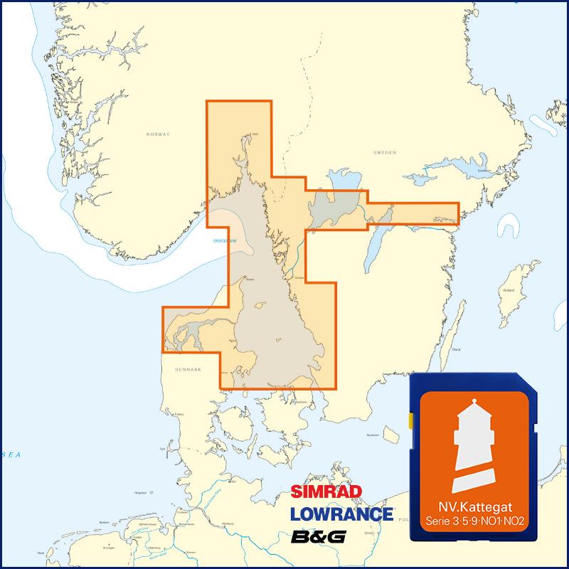
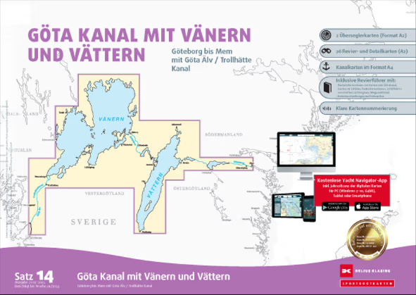
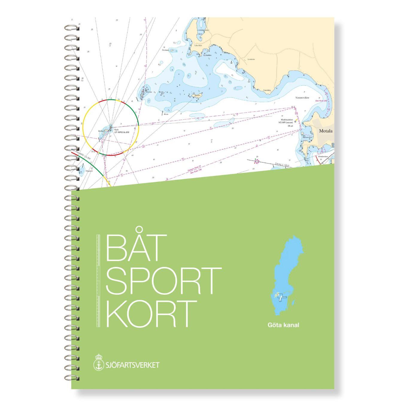
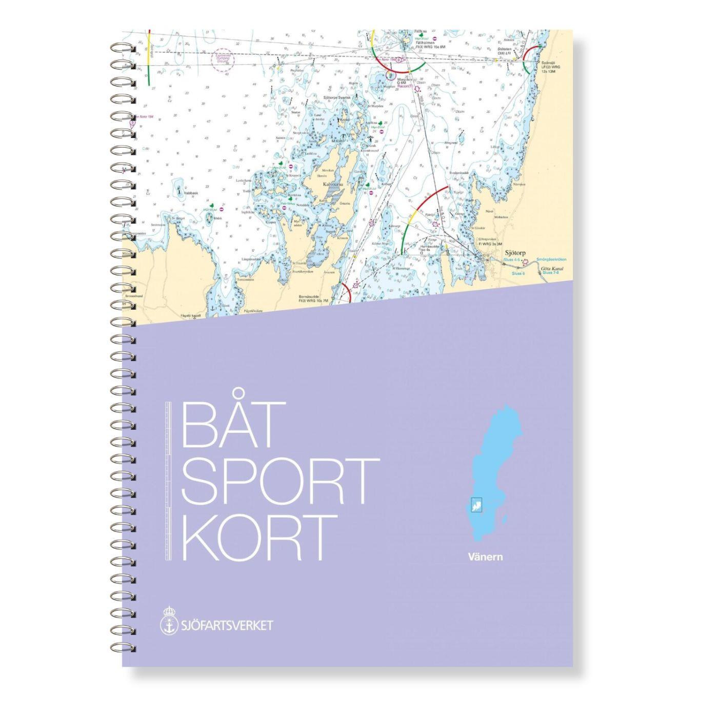
NV Binnenband 8 Göta Kanal & Trollhätte Kanal

App charts included
Edition: 2023
Edition Date: 19.05.2023

€44.99*


Product number: 8801

Description

Swedens blue ribbon of 190 km in length - is probably one of the most scenic waterways in Europe. Every water sports enthusiast would like to pass the 58 locks downhill and uphill the picturesque landscape around the Göta Canal once. The minimum depth is 2.80 m so this passage is also attractive for sailors. The two huge lakes Vättern and Vänern invite you to linger. You need to allow plenty of time for the Göta Canal passage and again fine weather makes it even more enjoyable. The maximum permitted speed on the canal is 5 knots. The canal is open from May to September but in May and September you can only pass with a reservation and additional fees. This chart set contains 36 district and detailed charts.

"Göta & Trollhätte Kanal" is a chart set specially prepared for this unique system of canals rivers and lakes at a scale of 1:35000. It runs from Mem to Gothenburg including the passages through Lakes Vättern and Vänern. The details and concise texts provide information in Swedish and German on water depths passage heights locks moorings and many places of interest. Warnings are highlighted in red. The maps with their cartography offer a clear structure. Forewords explain the course of the water and an emblem on each page reveals the location in the sailing area.


NV Charts navigation app

All NV Charts nautical charts also include an access code to the digital nautical charts in the NV Charts app and can thus be easily downloaded. The charts are valid for 365 days from activation and can be used for offline navigation with the NV Charts app on iOS, Android, PC and Mac or also in the web browser.

The NV Charts app is the ideal addition on mobile devices. With the app, you can already plan a detailed route at home and thus prepare for your journey in the best possible way in conjunction with the paper chart. The app is intuitive to use and, thanks to an identical map image, you can orientate yourself on paper and digitally in a matter of seconds. The most up-to-date information is essential to navigate safely on the water with your sailboat or motorboat.

With the NV Charts app, you now have the opportunity to become part of the chart community. You can mark harbours, anchorages and navigation warnings on the digital nautical chart and also add interesting places beyond navigation, such as restaurants, with pictures and comments and share your experiences with other users. In addition, the NV Charts app offers an automatic routing function, search and all navigation functions for GPS navigation with your phone or tablet. More information at: nvcharts.com/app

More PC navigation apps: NV Verlag / NV Charts nautical charts can also be used in many other nv.digital compatible PC navigation programs such as NV Chart Navigator or Open CPN.


Our recommendation:
Once you have passed the Trollhätte Canal you will need NV SE 5.2 to manoeuvre safely through western Swedens archipelago near Gothenburg. We will be happy to provide you with the corresponding cruising guides.

App License: NV Charts App
Region: Schweden, Binnen
Size: Spiralbindung , Atlas
Area preview

With the help of our area preview, you can get an impression of which geographical region the product deals with or which areas a nautical chart covers.

Related products to this item

Related products to this item

Gebietsvorschau für NV Charts Sverige SE 5.2 - Svenska Västkusten Södra öffnen
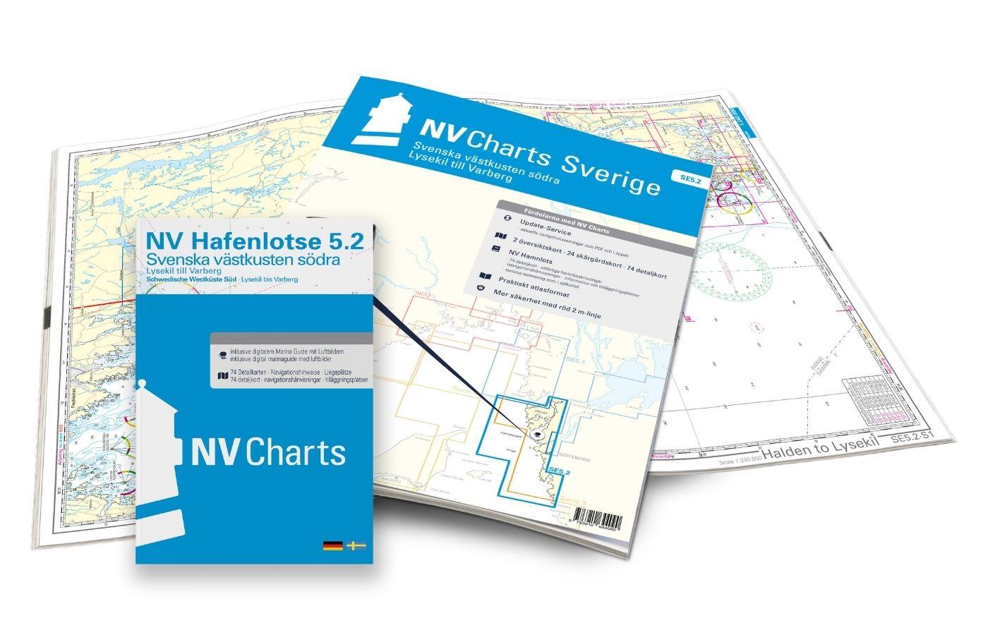
NV Charts Sverige SE 5.2 - Svenska Västkusten Södra
As an extension of the popular Series 3, NV Charts offers Series 5.2 Svenska Västkusten Södra on the Swedish west coast. The chart series, specially designed for recreational boating, contains the nau

€69.90*
Gebietsvorschau für Swedish Series East Coast öffnen
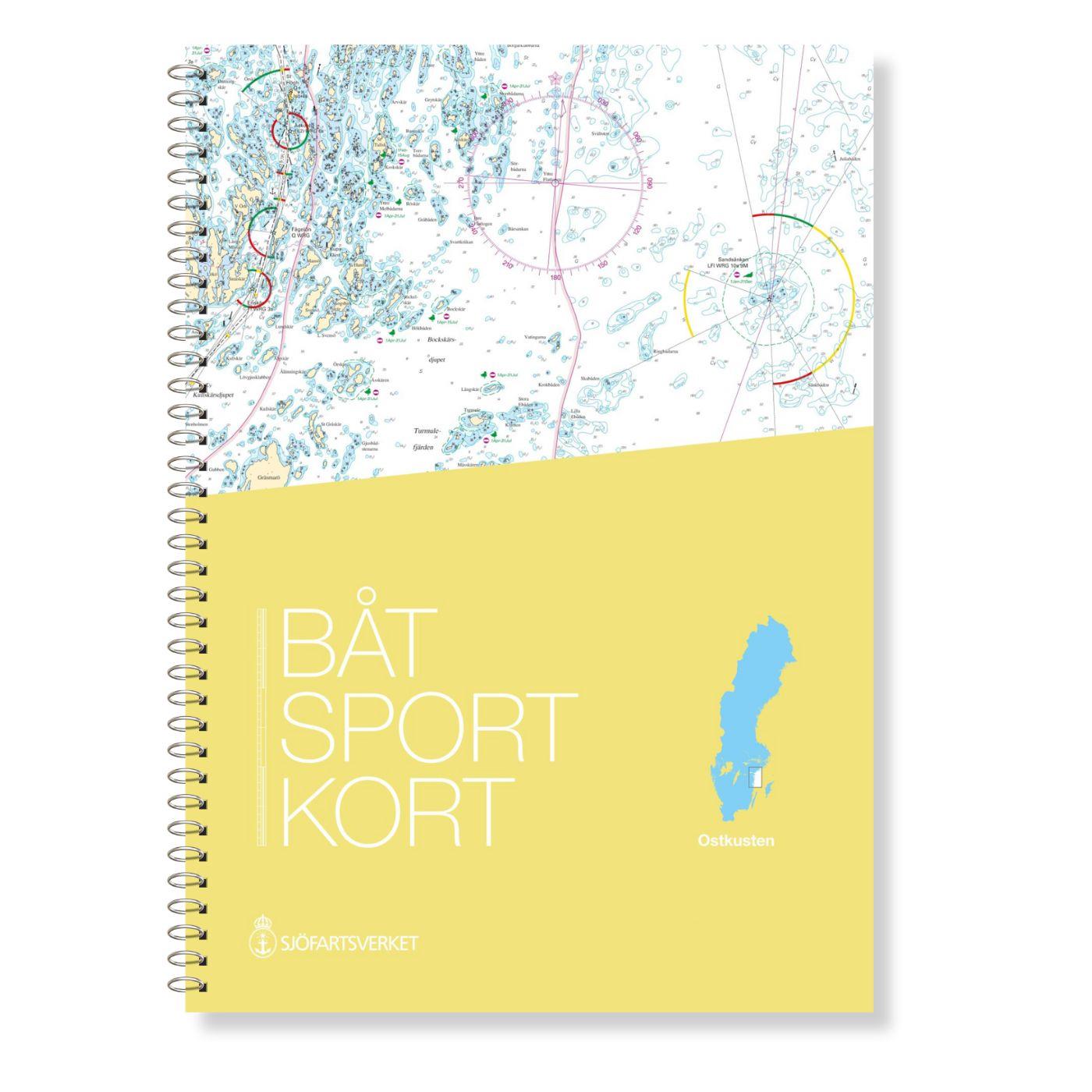
Swedish Series East Coast
The Swedish Sport Boat Chart Series East Coast (Båtsportkort Ostkusten) presents the fairways and approaches of the archipelago fairways between Troasa and Västervik. The entrance to the Göta Can

€78.00*
Gebietsvorschau für Hamnguiden 9 - Götakanal öffnen
Hamnguiden 9 - Götakanal
This is the best choice - the Göta Canal from above with Vänern and Vättern!A new edition of the Göta Canal Hamneguide was published in 2020. There is no more detailed guide to Sweden's blue ribb

€74.90*
Gebietsvorschau für Swedish series Kalmarsund öffnen
Swedish series Kalmarsund
The official Swedish sport boat chart set (Båtsportkort) Kalmarsund covers the Kalmarsund from Västervik to Bergkvara. The island of Gotland is shown on the oversailers without detail or approach char

€78.00*
Gebietsvorschau für Swedish series Hanö Bay öffnen
Swedish series Hanö Bay
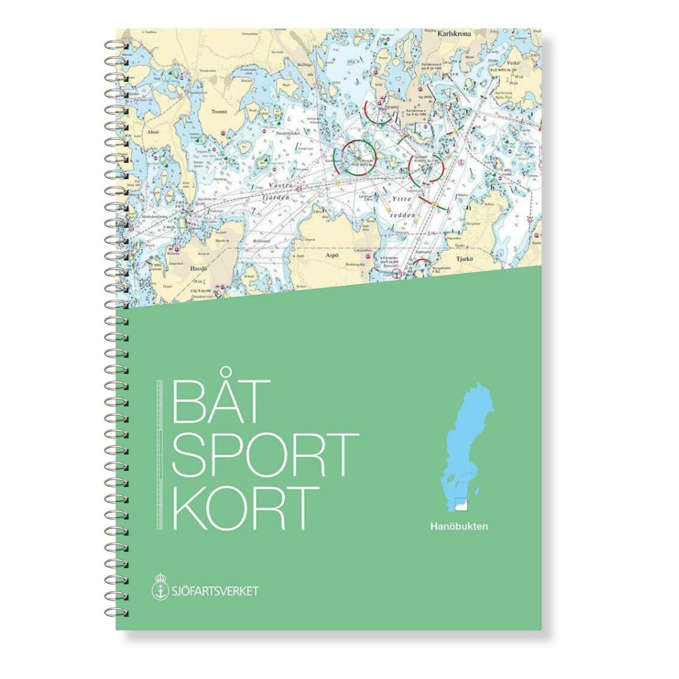
The official Swedish recreational chart set Hanöbucht (Båtsportkort Hanöbukten) covers the Swedish coast in the area of Hanöbucht from Skillinge to Bergkvara in the Kalmarsund.Also this official

€78.00*
Gebietsvorschau für Swedish Series Stockholm M Mellersta öffnen
Swedish Series Stockholm M Mellersta
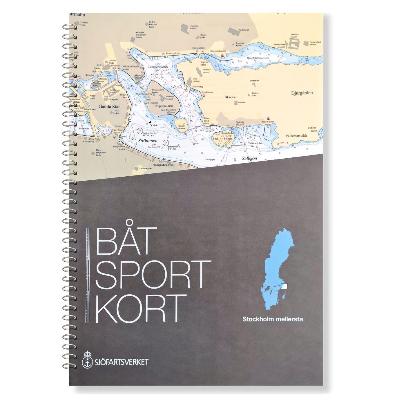
In this set of official Swedish recreational boat charts (Båtsportkort) Stockholm Mellersta (centre) the Swedish capital Stockholm with its southern and central approaches is depicted i

€78.00*

Reviews

0 of 0 reviews

Leave a review!

Share your experiences with other customers.


Gebietsvorschau für NV Binnen 2 Kombipack Berlin & Mecklenburgische Gewässer öffnen
NV Binnen 2 Kombipack Berlin & Mecklenburgische Gewässer
If you are drawn to the largest networked water sports area in Europe you should have the inland volume 2 of NV Charts in your luggage. 1117 natural lakes provide a variety that is second to none. Fro

€44.99*
Gebietsvorschau für Swedish Series Bottenhavet S Södra öffnen
Swedish Series Bottenhavet S Södra
The Swedish recreational boating chart set Bottenhavet S Södra is the southernmost of the three Swedish chart sets for the Gulf of Bothnia and the direct link to the Stockolm Norra chart set. This map

€78.00*
Gebietsvorschau für NV Pilot 1, planning chart Baltic Sea - Kristiansand to Helsinki öffnen
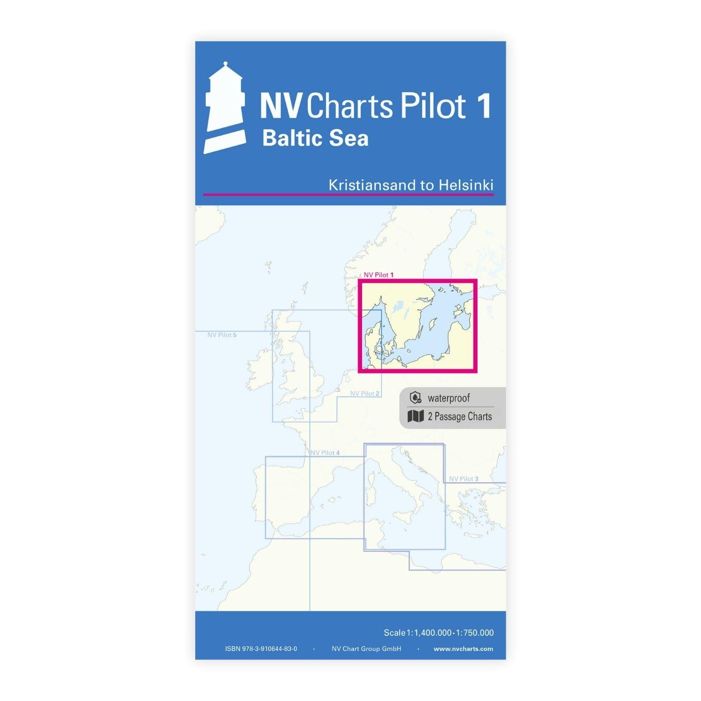
NV Pilot 1, planning chart Baltic Sea - Kristiansand to Helsinki
NV Pilot 1, planning chart Baltic Sea - Kristiansand to HelsinkiThe Pilot 1 from NV Charts is an indispensable planning chart if you want to prepare for a Baltic Sea cruise. This chart for this popula

€24.99*
Gebietsvorschau für NV Charts Sverige SE 5.1 - Svenska Västkusten Norra öffnen
NV Charts Sverige SE 5.1 - Svenska Västkusten Norra
To get to the Oslofjord via the Swedish West Coast, there is no way around the NV Charts Atlas Series 5.1 Svenska Västkusten Norra past. This chart series, specially designed for recreational boating,

€69.90*
Gebietsvorschau für Törnführer Schweden 1 öffnen
Törnführer Schweden 1
The West Coast with Trollhätte Canal and Lake Vänern SouthThe brittle charm of the countless archipelago islands on the west coast of Sweden captivates thousands of water sports enthusiasts every year

€39.90*
Gebietsvorschau für Swedish Series Bottenhavet N Norra öffnen
Swedish Series Bottenhavet N Norra
The Swedish Bottenhavet N Norra series covers the central Swedish coastal section in the Gulf of Bothnia. This stretches from Sundsvall in the south to Sikå in the north.This map set is mainly at a sc

€78.00*
Gebietsvorschau für Swedish Series Stockholm M Mellersta öffnen
Swedish Series Stockholm M Mellersta
In this set of official Swedish recreational boat charts (Båtsportkort) Stockholm Mellersta (centre) the Swedish capital Stockholm with its southern and central approaches is depicted i

€78.00*
Gebietsvorschau für Törnführer Schweden 2 - Südküste - Ostküste - Öland - Gotland öffnen
Törnführer Schweden 2 - Südküste - Ostküste - Öland - Gotland
South Coast - East Coast - Öland - GotlandCountless small rocky islands picturesque towns with colourful wooden houses and idyllic anchor bays this is what the region is known for and invites you

€39.90*
Gebietsvorschau für Schwedische Serie Sydkusten öffnen
Schwedische Serie Sydkusten
This official Swedish recreational chart set (Båtsportkort) Sydkusten (Skåne) covers the area from Kullen to Simrishamn. In addition to the Swedish coast the Danish coast including Copenhagen and Köge

€78.00*
Gebietsvorschau für Schwed. Serie Västkusten N öffnen
Schwed. Serie Västkusten N
Svinesund to Måseskär. Format 30 x 42 cm spiral binding.

€78.00*
Gebietsvorschau für Havneguiden 2 Landesund - Lindesnes öffnen
Havneguiden 2 Landesund - Lindesnes
The sophisticated south-east coast of the Oslofjord is much easier to conquer when Havneguide 2 is allowed to accompany you.This Norwegian-produced harbour guide introduces you to 293 harbours, anchor

€74.90*
Gebietsvorschau für Havneguiden 1 Svinesund - Langesund öffnen
Havneguiden 1 Svinesund - Langesund
Boaters planning to sail the Oslo Fjord should definitely have the Havneguiden1 (Svinesund to Langesund) on board as a cruising guide.This is a Norwegian-made guide to ports, with unique aerial photos

€74.90*