
Schwedische Serie Vänern
Description
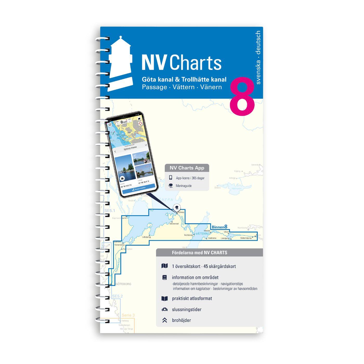
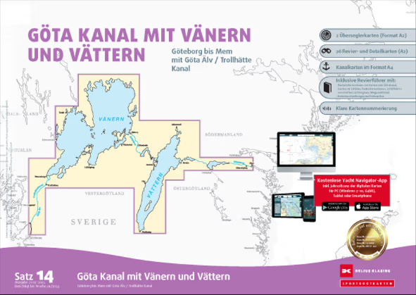
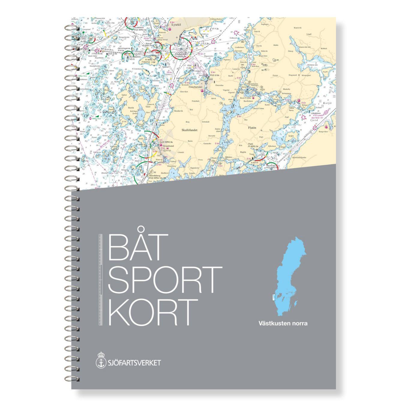
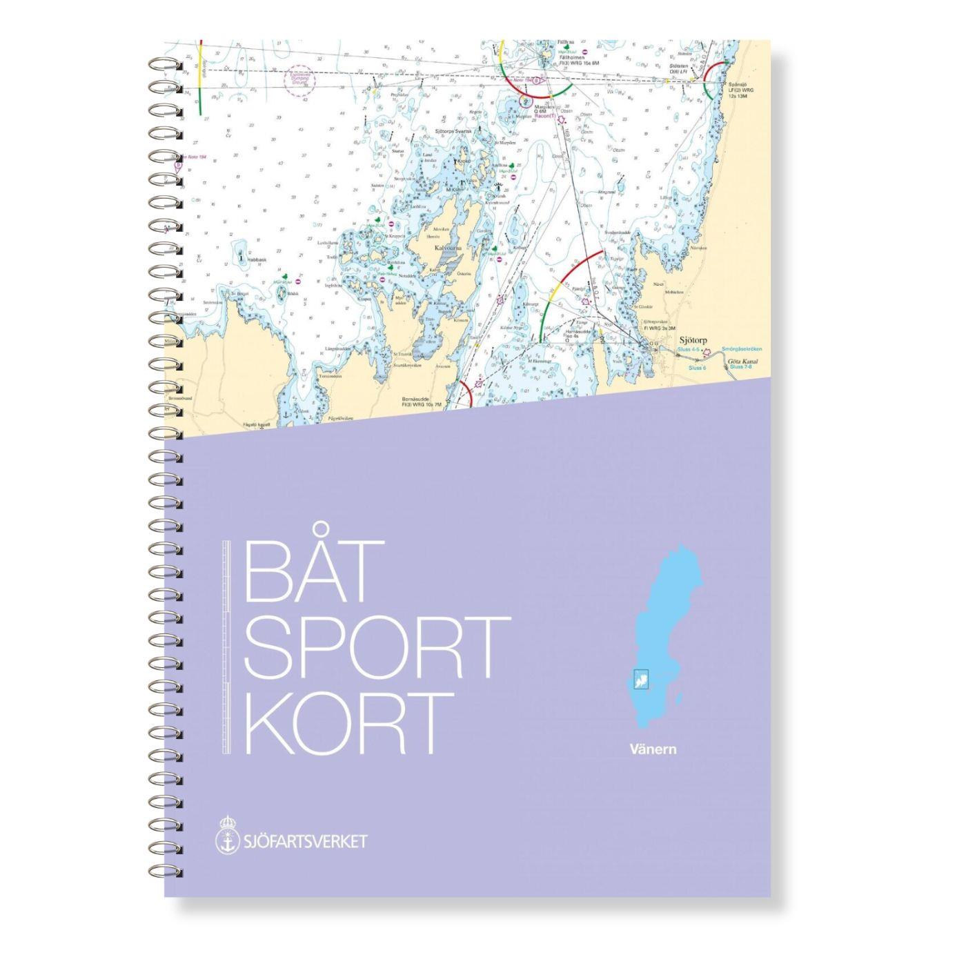
The Swedish sport boat chart set Vänern covers Swedens largest lake. This stretches Vänersborg with access into the Trollhättankanal in the west and in the east with access into the Götakanal at Sjötorp. In addition to Lake Vätern this set also contains water sports maps for Glafsjorden as far as Arvika.
This set consists of a total of seven general maps at scales of 1:250000 or 1:180000 and 37 detailed maps at scales of 1:60000 or 1:30.000 in addition maps of the following areas in better scales are included in the Vänern recreational boat chart set:
Slottsbron och Gruvön
Skoghall
Karlstad
Otterbäcken
Älvernäs
Malbergshamn
Kristinehamn
Kristinehamn Approach
Onösundet
Mariestad Approach
Mariestad
Åmål
Hönsäter
Dalbergså
Linköping
Sunnanå Hamn
Råbäcks Hamn
Vänersborg
Sjötorp
Köpmannebro
Spiken
Strömsundet
Arvika
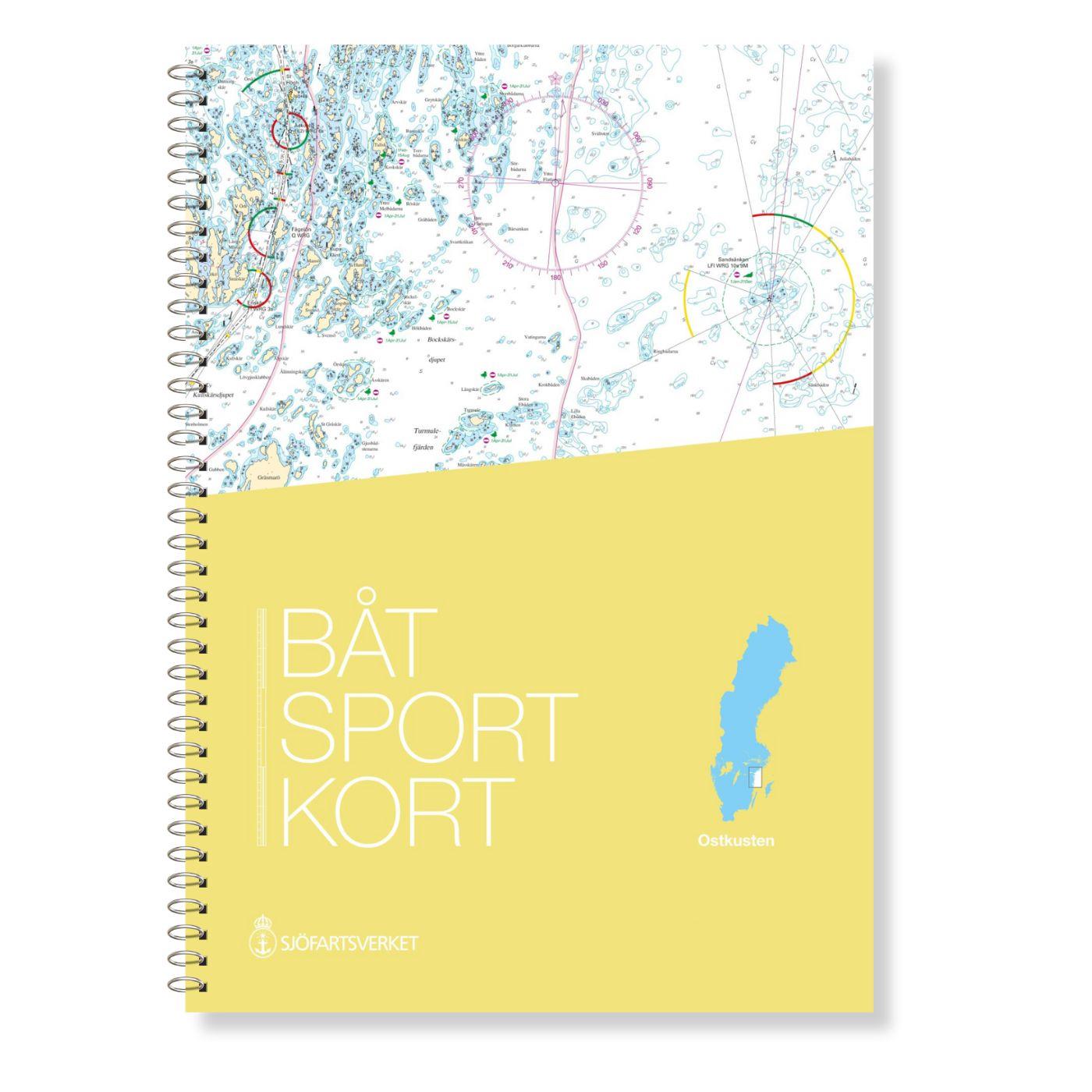
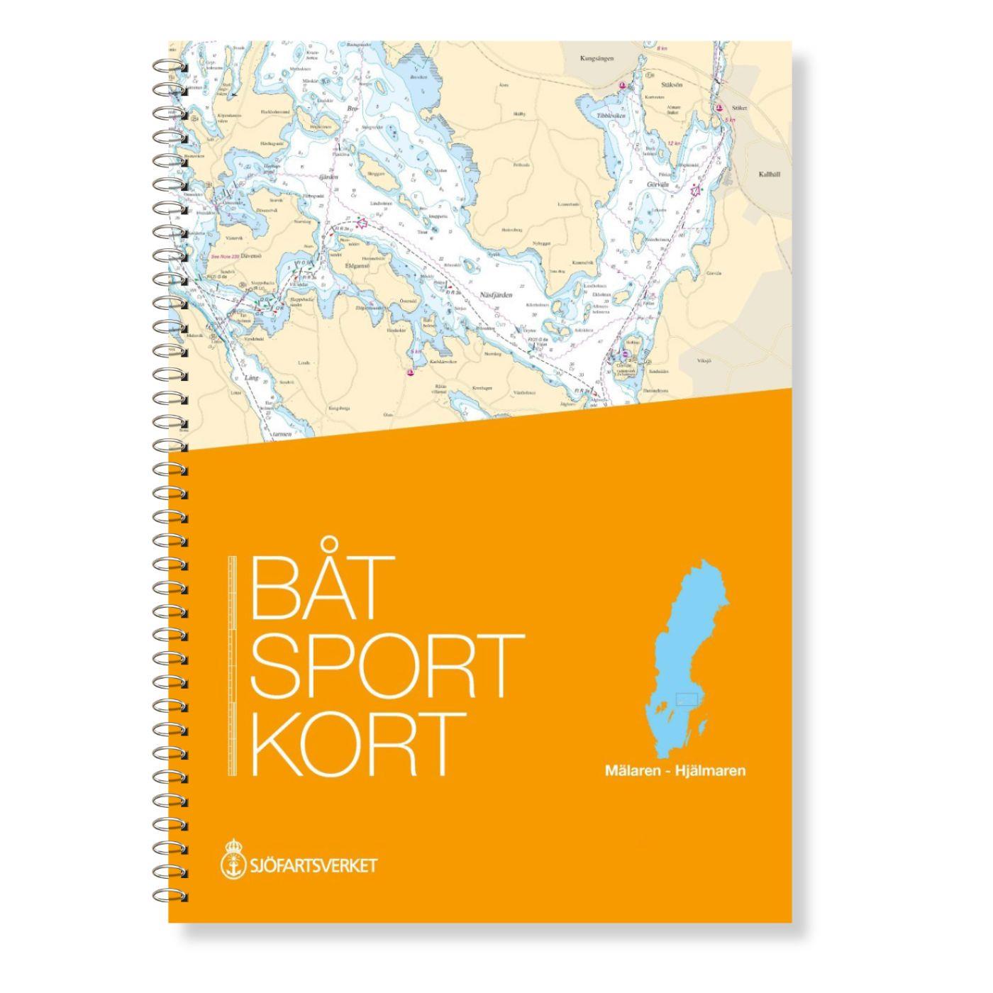
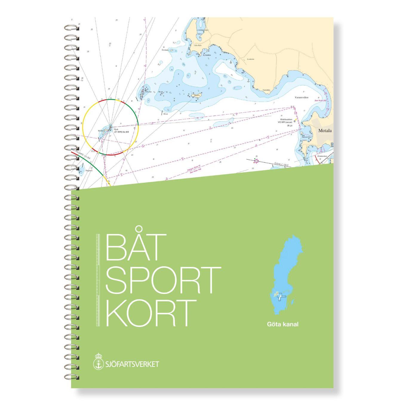
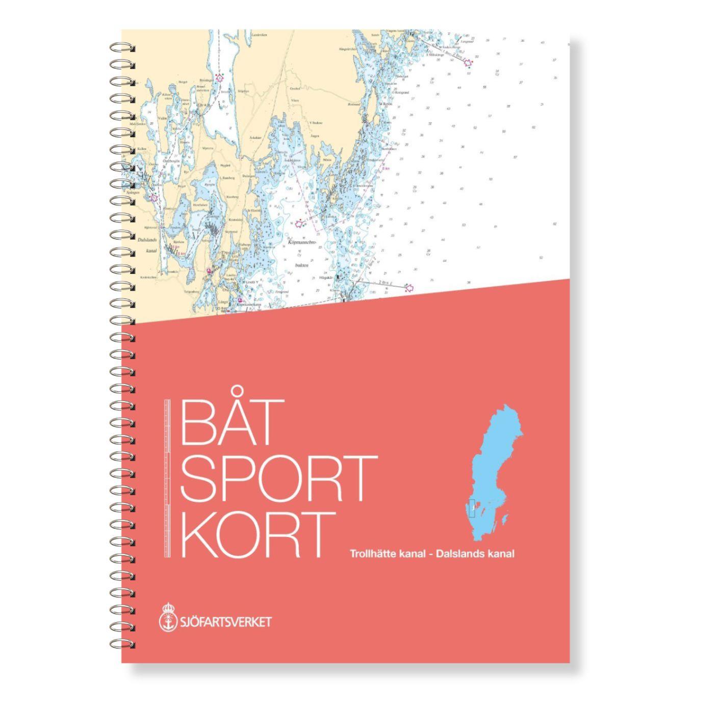
The Swedish Recreational Boating Chart Series consists of 17 sets each covering a coastal or inland section. These chart sets have a plastic spiral binding each chart sheet has clear references to the connecting charts within the chart set. Archipelago fairways are shown in detail and beacon sectors are colour-coded.
A clear pocket is included.
Handling and appearance
Diverse map sheets 30 x 42 cm spiral-bound in a clear pocket printed on both sides. Because the cards are also quite small this makes frequent sheet changes necessary and the folder must often be taken out of the cover. The spiral binding makes it possible to "turn" the pages.
| Language: | Schwedisch, Englisch |
|---|---|
| Region: | Ostsee, Schweden |
| Size: | DIN A3, Spiralbindung |
With the help of our area preview, you can get an impression of which geographical region the product deals with or which areas a nautical chart covers.
Related products to this item
Related products to this item
Products near this article
Products near this article
Reviews
0 of 0 reviews
Login

